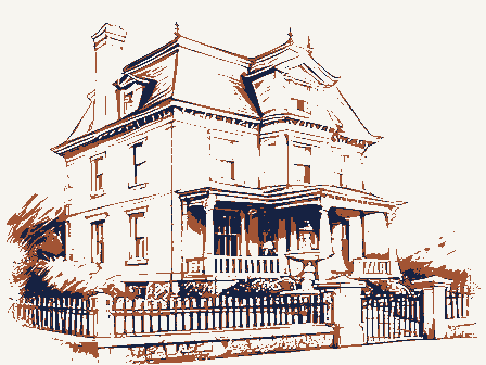
Listed on the National Register of Historic Places in
1980. A historic map-sheet match is not published yet. The record needs a coordinate-quality review before it can be joined to a sheet boundary.
From the record
one of 70 National Register listings in Muskingum County · listed in 1980 · category: Building.
National Register reference number.80003182- the number the National Park Service assigned this property when it was listed, and the key its nomination file is catalogued under at the National Archives.
Regional context, not property-specific
evidence. The
federal wildfire occurrence database
lists 43 fires within 5 miles of Buckingham-Petty House between
2002 and 2019, burning about 79 acres in total. None started naturally. None was recorded as arson.
Distance is straight-line from the map coordinates, so a fire counted
here may appear on a neighbouring settlement's page as well.
Reported cause
Fires
Debris and open burning
25
Missing data/not specified/undetermined
9
Recreation and ceremony
4
Equipment and vehicle use
3
Smoking
1
Power generation/transmission/distribution
1
The most recent of
them, most recent first, with the day each was reported and the service
that recorded it.
Regional context, not property-specific
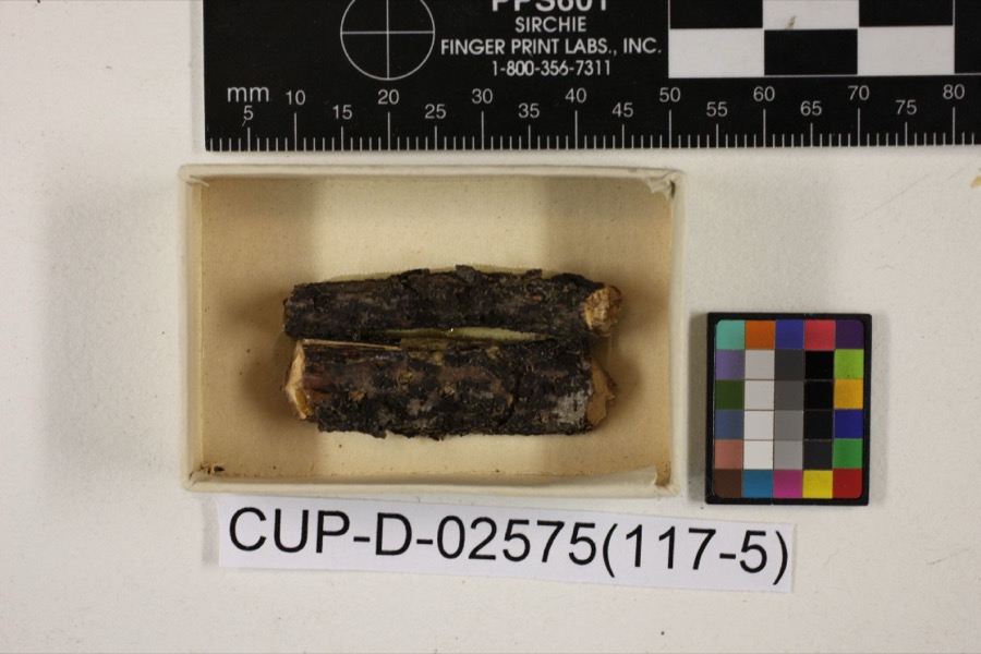
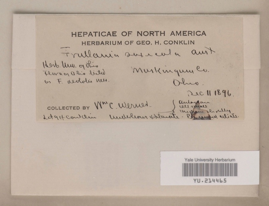
evidence. Museums hold 749 specimens
collected within 10 miles of Buckingham-Petty House between 1873 and
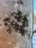
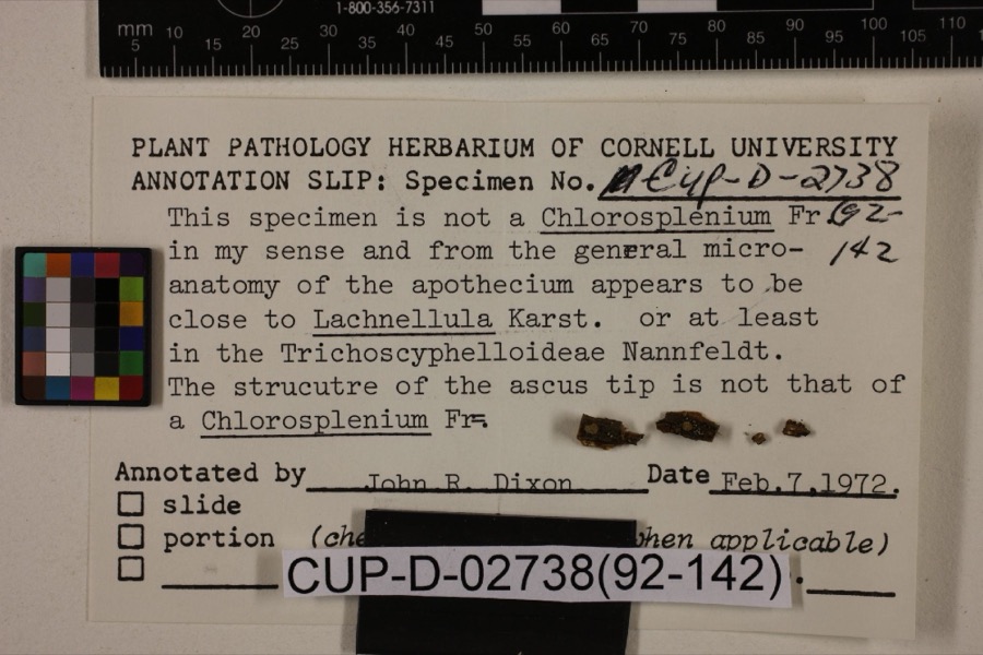
1975: 675 Animalia, 49 Plantae, 15 Fungi, 5 Protozoa, 4 Unrecorded, 1 Chromista. 12 distinct Species records are shown.
Collected by A.E. Miller, Adams, W., Adams, W. (William), Trautman, M. B. (Milton Bernard) et al. and others. Each is a
physical object with a catalogue
number, and each entry opens the museum's record. This is what was
collected and kept, not a survey of what lives here - nothing can be
concluded from a species being absent.
Regional context, not property-specific
evidence. The federal mineral resources record lists
2 workings within 5 miles of Buckingham-Petty House: 2 producers.
All of them still produce. What was taken out: Sand and Gravel, Construction, Iron. Distance is straight-line from the
map coordinates, so a quarry counted here may appear on a neighbouring
settlement's page as well.
Regional context, not property-specific
evidence. The National Weather Service names
Duncan Falls, the town this property stands in, in 15 storm reports between 1994 and 2025: 10 thunderstorm wind, 3 flash flood, 1 hail, 1 flood.
No death or injury is recorded in these reports. Each account below is quoted exactly as the forecast office
filed it, from the NOAA Storm Events Database, and each date
opens the federal record of that event.
A microburst was confirmed by an NWS storm survey in Philo and Duncan Falls. The path of damage was 2 miles long and about 600 yards wide. A total of 89 structures had some damage with cost estimates of 680,00 dollars. Damage to the athletic field at Franklin Local Schools was estimated at nearly 200,000 dallars. Numerous trees and powerlines were brought down on cars and a few homes.
No historic map-sheet match is published
for this property yet. That does not mean no map exists. This record needs
a coordinate-quality review before it can be joined to a sheet boundary.
Browse the county's mapped places while that work is
pending.
From the nomination file
1,687 words on record
When this property was proposed for the
National Register, someone wrote the case for it: what the building is,
and why it matters. That document is a federal record in the public domain.
It is quoted below word for word, never summarised. The text was read off the scanned case file by machine, so the
occasional stray character is the recogniser's and the 1970s
typewriter's.
Description of the property
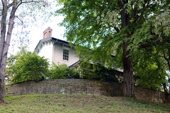
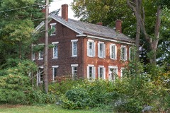
The Buckingham-Petty House is a large ell-shaped residence in brick, set on a stone the most distinctive decorative feature is the huge Doric frieze of wood which extends on all parts of the house except the garage addition. pended ceiling was hung, in one room, but did not destroy the original plaster croun in an upstairs bedroom. Most of the original molded 8-panel "double cross doors" with brass escutcheons by North and Stanley remain. The Buckingham farm originally contained all 640 acres of Section 19. Today much Condition ruins unexposed unaltered 7. Description of that property is used as a golf course.No historic outbuildings remain.
Check one attached 1-story summer kitchen stood at the rear of the house; this was replaced early :The interior has been altered.somewhat but generally not irreversably.A sus- - moveddate side of the ell was originally a portico identical to the portico originally on the front. _fair house is covered with a hipped roof, while the ell has a gabled roof. Along the north X altered foundation. The 3-bay facade originally featured a 2-story Doric portico which was on by a 2-story stuccoed gabled roof structure which serves as a garage. Original fenestration,6/6,remains along with most of the external louvered shutters.By far, Areas of Significance - Check and justify below - archeology-historic - agriculture - sculpture X architecture .
social/ _ art X 1800-1899 exploration/settlement - - philosophy - politics/government Statement of
Statement of significance
(in one paragraph) residences in Wayne Township, and while it would compare favorably with any period house, the architectural scarcity of the Greek Revival in this rural area makes it all the more north about 10 miles), now part of Zanesville, for many years, but early rural residences were almost exclusively traditional or vernacular in character. This fine structure, by contrast, with its porticos, classical ornament and proportions, stands out as an unusual example of elite architecture. The house was built under the ownership of Alvah Buckingham (1791-1867) a New York native who became one of the leading citizens of Putnam, Ohio.
He was a well-known mer- in the city of Chicago, and several years later contracted with the Illinois Central Rail- The farm in Wayne Township was occupied primarily by Alvah Buckingham's son, James the spring of 1853 he located on the farm where he lived until 1863. In 1854 he invented During the Civil War, Morgan's Raid, which reached a point only 10 miles below the farm, caused him to move back to Putnam with his family. In the 1860s, the property, which under the ownership of the Buckinghams had included the entire section, passed to Rev. Ludwell Petty (1808-1893). He had entered the ministry later lived on the old farm. The younger Petty had entered the ministry in 1852 and served and the D.D. by Allegheny College.
After his retirement he remained on the farm until 1700-1799 1600-1699 1500-1599 communications 1400-1499 Builder/Architect transportation humanitarian theater economics music Period commerce education invention industry literature engineering science prehistoric law 1900- military 8. Significance _conservation other (specify) his death in 1917. - archeology-prehistoric .landscape architecture c. 1840 noteworthy.
Quoted from the National Register nomination
for reference 80003182, 12 pages, held by the National Archives in Record
Group 79. See the
catalogue record.
Listed places nearby
6 within 8 miles
Other National Register properties close
enough to walk or drive between, ordered by distance from this one. Both
positions come from the same geocoding pass that matched these properties
to their map sheets.
Listing record. National Park Service National Register of Historic Places, listed-properties dataset, current to 2026-05-22.
Map join. Address geocoded through the United States Census geocoder, then tested against the published boundary of every sheet in the USGS Historical Topographic Map Collection.
How this page is made. Listing fields come from federal records; map-sheet coverage is a labelled coordinate-to-boundary calculation, not a source-field claim.
Wildfire. Short, Karen C. 2022. Spatial wildfire occurrence data for the United States, 1992-2020 [FPA_FOD_20221014]. 6th Edition. Fort Collins, CO: Forest Service Research Data Archive. https://doi.org/10.2737/RDS-2013-0009.6 Collected with United States Government funding and usable without additional permissions or fees.
Specimens. Global Biodiversity Information Facility (GBIF), https://www.gbif.org/. Only records licensed CC0 or CC BY are used. Records licensed CC BY-NC are excluded because this site carries advertising. Images are checked individually and any whose licence is non-commercial, no-derivatives or unreadable is refused.
Mines and quarries. USGS Mineral Resources Data System (MRDS) https://mrdata.usgs.gov/mrds/ A work of the United States government, no copyright under 17 U.S.C. 105.
Storms. NOAA National Centers for Environmental Information, Storm Events Database https://www.ncei.noaa.gov/stormevents/ A work of the United States government, no copyright under 17 U.S.C. 105. Narratives are quoted verbatim from the National Weather Service report and are not edited or summarised.
 Block
Block