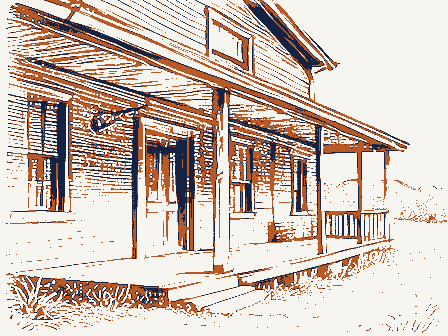
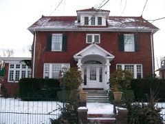
Listed on the National Register of Historic Places in
1982. A historic map-sheet match is not published yet. The record needs a coordinate-quality review before it can be joined to a sheet boundary.
From the record
one of 70 National Register listings in Muskingum County · listed in 1982 · category: Building.
National Register reference number.82003621- the number the National Park Service assigned this property when it was listed, and the key its nomination file is catalogued under at the National Archives.
Regional context, not property-specific
evidence. The
federal wildfire occurrence database
lists 23 fires within 5 miles of Tavener-Sears Tavern between
2012 and 2020, burning about 39 acres in total. None started naturally. 2 were recorded as arson.
Distance is straight-line from the map coordinates, so a fire counted
here may appear on a neighbouring settlement's page as well.
Reported cause
Fires
Debris and open burning
13
Power generation/transmission/distribution
3
Missing data/not specified/undetermined
3
Equipment and vehicle use
2
Arson/incendiarism
2
The most recent of
them, most recent first, with the day each was reported and the service
that recorded it.
Regional context, not property-specific
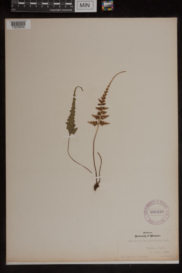
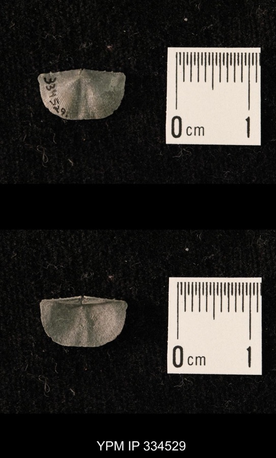
evidence. Museums hold 265 specimens
collected within 10 miles of Tavener-Sears Tavern between 1873 and
1974: 208 Animalia, 32 Plantae, 17 Fungi, 5 Protozoa, 2 Unrecorded, 1 Chromista. 12 distinct Species records are shown.
Collected by A.E. Miller, Bogue, E.E., Buker, W. and others. Each is a
physical object with a catalogue
number, and each entry opens the museum's record. This is what was
collected and kept, not a survey of what lives here - nothing can be
concluded from a species being absent.
Regional context, not property-specific
evidence. The federal mineral resources record lists
1 working within 5 miles of Tavener-Sears Tavern: 1 occurrence.
None of them still produces. What was taken out: Titanium, Silica, Iron, Aluminum. Distance is straight-line from the
map coordinates, so a quarry counted here may appear on a neighbouring
settlement's page as well.
No historic map-sheet match is published
for this property yet. That does not mean no map exists. This record needs
a coordinate-quality review before it can be joined to a sheet boundary.
Browse the county's mapped places while that work is
pending.
From the nomination file
1,385 words on record
When this property was proposed for the
National Register, someone wrote the case for it: what the building is,
and why it matters. That document is a federal record in the public domain.
It is quoted below word for word, never summarised. The text was read off the scanned case file by machine, so the
occasional stray character is the recogniser's and the 1970s
typewriter's.
Statement of significance
(in one paragraph) "any one was able to keep a tavern, and they sprang up along the line of the National Road as if by magic"(Everhart, p. 412). The 1841 tax records indicate that a frame and brick house was built in 1841. That year, John Tavener, a Virginian purchased the owned the property from 1855 through the 1870s and is listed in the 1860 census as R. Sears, on this site. in his 1948 The National Road, maintains that spaced almost mathematically, one to every seven to ten miles (p. 257).
This was true in Muskingum County, with several well-known (and long-gone) hostelries in Zanesville, the county seat, the Headley and Smith establishments five miles westward, and the Tavener-Sears Tavern five more miles to the West, at 1600-1699 1841 1700-1799 1400-1499 1500-1599 communications engineering transportation industry politics/government theater humanitarian Period invention 1900- conservation science Specific dates social/ Architecturally, the village of Mt. Sterling consists primarily of simple wood 4-26-78).These stone structures are located approximately five miles to the east Mt. Sterling. of Mt.
Sterling.The village was platted in 1829,one year before the National Road military other (specify) Areas of Significance-Check and justify below being the Headley Inn and the Smith House (listed on the National Register jointly on The Tavener-Sears Tavern is nominated as an early tayern on the National Road _sculpture _economics law -art - archeology-prehistoric - community planning . religion lot for $1200; the 1850 census lists him as an "innkeeper" Robert Sears (b. 1824) - between Zanesville and Columbus, taverns marked every section and as one of the very few brick structures from the period of settlement in the village Only two other brick buildings are in the village.
Quoted from the National Register nomination
for reference 82003621, 10 pages, held by the National Archives in Record
Group 79. See the
catalogue record.
Listed places nearby
6 within 8 miles
Other National Register properties close
enough to walk or drive between, ordered by distance from this one. Both
positions come from the same geocoding pass that matched these properties
to their map sheets.
Listing record. National Park Service National Register of Historic Places, listed-properties dataset, current to 2026-05-22.
Map join. Address geocoded through the United States Census geocoder, then tested against the published boundary of every sheet in the USGS Historical Topographic Map Collection.
How this page is made. Listing fields come from federal records; map-sheet coverage is a labelled coordinate-to-boundary calculation, not a source-field claim.
Wildfire. Short, Karen C. 2022. Spatial wildfire occurrence data for the United States, 1992-2020 [FPA_FOD_20221014]. 6th Edition. Fort Collins, CO: Forest Service Research Data Archive. https://doi.org/10.2737/RDS-2013-0009.6 Collected with United States Government funding and usable without additional permissions or fees.
Specimens. Global Biodiversity Information Facility (GBIF), https://www.gbif.org/. Only records licensed CC0 or CC BY are used. Records licensed CC BY-NC are excluded because this site carries advertising. Images are checked individually and any whose licence is non-commercial, no-derivatives or unreadable is refused.
Mines and quarries. USGS Mineral Resources Data System (MRDS) https://mrdata.usgs.gov/mrds/ A work of the United States government, no copyright under 17 U.S.C. 105.
 Block
Block