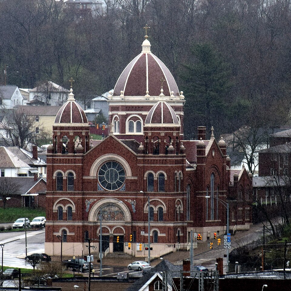
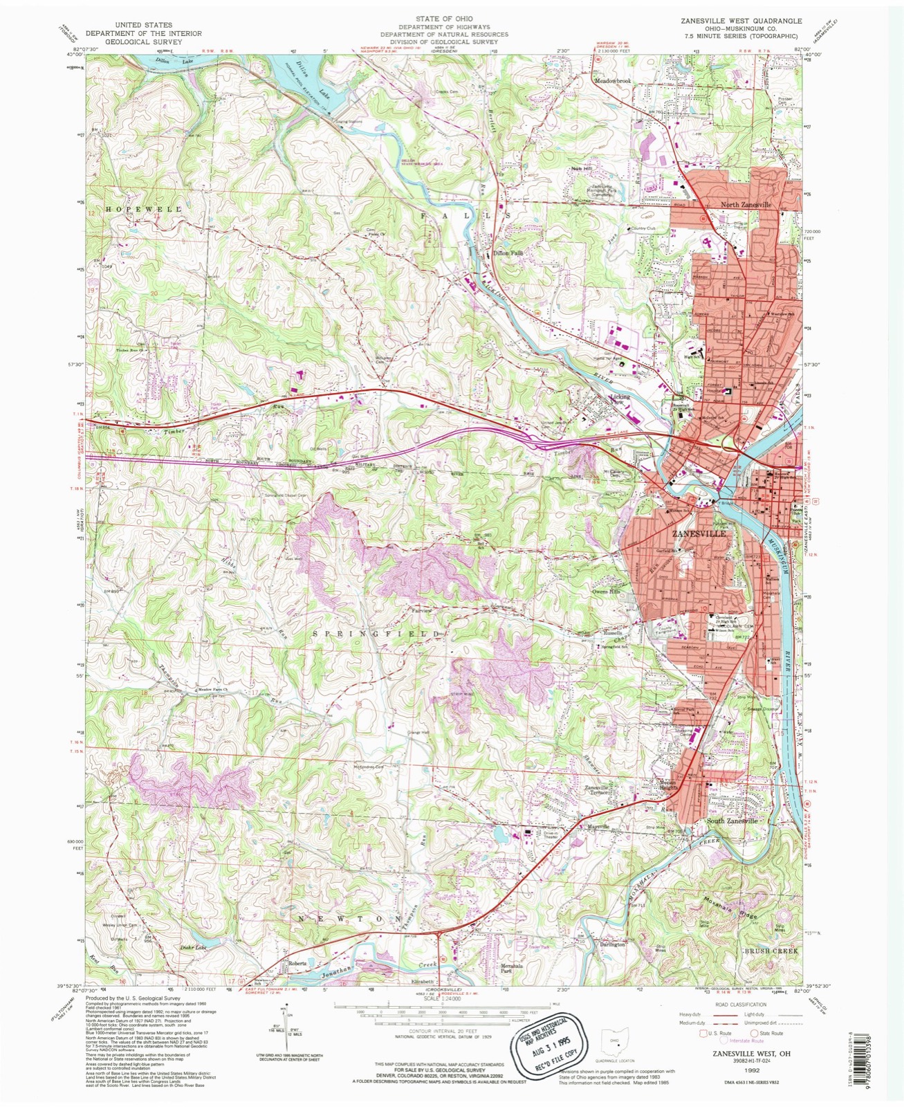
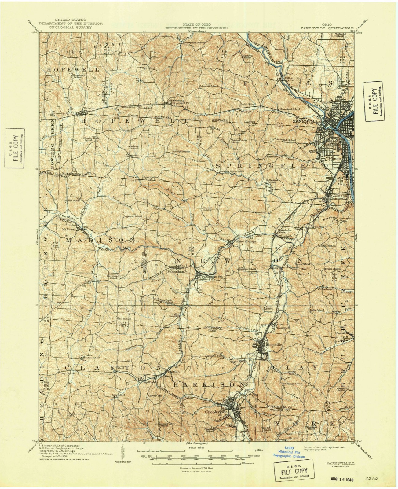
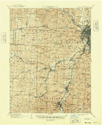
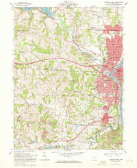
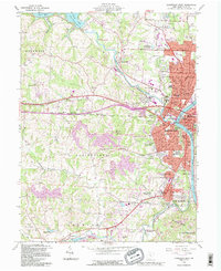
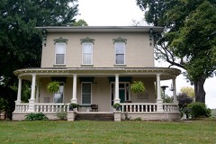
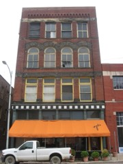
Listed on the National Register of Historic Places in 1975. 8 historic topographic surveys show this location, the earliest from 1910.
From the record
“Nicholas Catholic Church is an historic church of the Roman Catholic Diocese of Columbus located in Zanesville, Ohio. The parish was founded in 1836 to serve the German Catholics of the area.”
Wikipedia article St. Nicholas Catholic Church (Zanesville, Ohio), CC BY-SA 4.0.
One of 81 National Register listings published here for Muskingum County · listed in 1975 · category: Building.
National Register reference number.75001512- the number the National Park Service assigned this property when it was listed, and the key its nomination file is catalogued under at the National Archives.
Then and now
1910 to 1992
The ground this property stands on, surveyed
82 years apart. Drag the handle to wipe between them. Both sheets are
United States Geological Survey originals; neither has been altered.
19101992
What happened here
An account from the chapter on Zanesville city. The inset identifies its exact
source book and publication year.
was so named in honor of Captain John C. Hazlett, of 2d O. V. I., and his cousin, Harry Hazlett, of the 5th U.S. Artillery, both of whom were killed during the Civil war; the post was organized June 1, 1881, with the following officers: C. C. Goddard, post commander; M. V. B. Kennedy, senior vice commander; Wilson C.
Zanesville and its immediate vicinity possess facilities for manufacturing in nearly, if not quite, all the industries requiring skilled labor, it is believed, all things considered, equal, if not superior to those of any place East or West. In every item to be taken into account in the make-up of a manufacturing city comparison is challenged. It was the remark of the late John Quincy Adams made in reference to the water power here existing, that "Zanesville was the Lowell of the West." Henry Clay, in one of his letters, after personal inspection of the water power at this point, said: "The water power furnished by the James river at Richmond makes it the best manufacturing site in the United States save that at Zanesville, Ohio." These opinions were expressed before the era of coal and railway transportation.
The manufacturing interest of Zanesville are at this time its leading attraction. It is a growing interest and is imparting to the city a permanent and solid character, and placing it among the most prosperous cities of the West. The progress made in this direction has been rapid during recent years. Old industries have been enlarged and extended, and new ones added which bid fair to become large and prosperous enterprises. This stimulus to manufacturing industry is attributed to the fact that fuel and living are so cheap, market supplies of all kinds so abundant, the facilities for shipment so superior, and the location so central and generally so advantageous. Besides a more enlightened and liberalized sentiment than heretofore existed now prevails, and there is exhibited more of a disposition to encourage productive enterprises by furnishing money at liberal rates to aid in their prosecution.
Regional context, not property-specific
evidence. The
federal wildfire occurrence database
lists 58 fires within 5 miles of St. Nicholas's Catholic Church
between 2012 and 2020, burning about 44 acres in total. None started naturally. 2 were recorded as arson.
Distance is straight-line from the map coordinates, so a fire counted
here may appear on a neighbouring settlement's page as well.
Reported cause
Fires
Debris and open burning
33
Power generation/transmission/distribution
7
Missing data/not specified/undetermined
5
Equipment and vehicle use
5
Smoking
3
Arson/incendiarism
2
Recreation and ceremony
2
Other causes
1
The most recent of
them, most recent first, with the day each was reported and the service
that recorded it.
Regional context, not property-specific
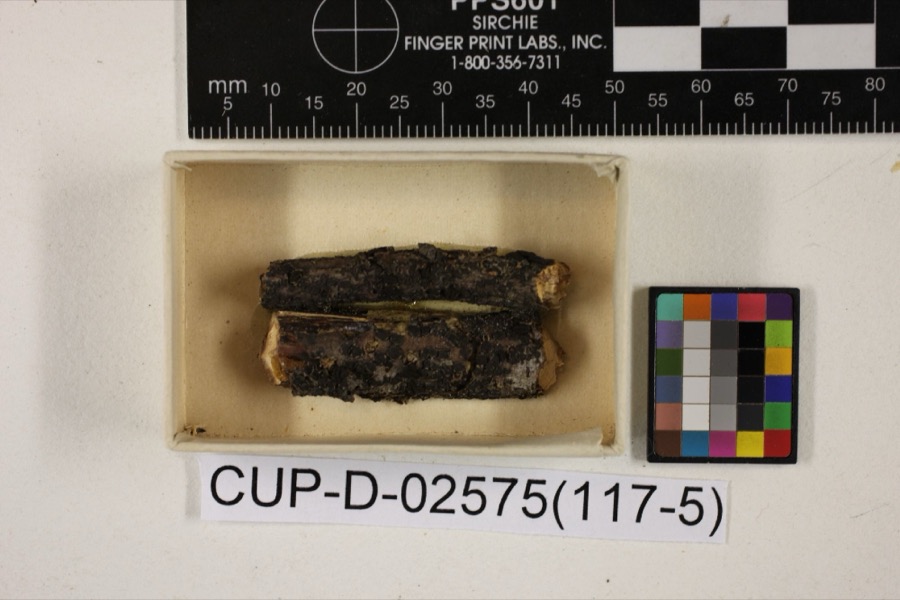
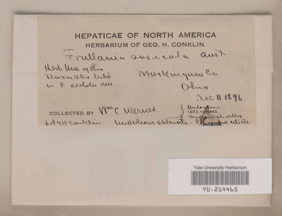
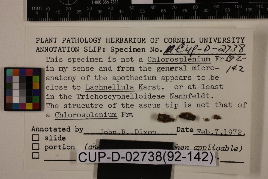
evidence. Museums hold 850 specimens
collected within 10 miles of St. Nicholas's Catholic Church between 1873 and 1975: 737 Animalia, 88 Plantae, 15 Fungi, 5 Protozoa, 4 Unrecorded, 1 Chromista.
12 distinct Species records are shown.
Collected by A.E. Miller, Adams, W. (William), Trautman, M. B. (Milton Bernard) et al., Adams, W. M. and others. Each is a
physical object with a catalogue
number, and each entry opens the museum's record. This is what was
collected and kept, not a survey of what lives here - nothing can be
concluded from a species being absent.
Regional context, not property-specific
evidence. The federal mineral resources record lists
5 workings within 5 miles of St. Nicholas's Catholic Church: 3 producers, 2 past producers.
3 still produce. What was taken out: Sand and Gravel, Construction, Iron. Distance is straight-line from the
map coordinates, so a quarry counted here may appear on a neighbouring
settlement's page as well.
Regional context, not property-specific
evidence. The National Weather Service names
Zanesville, the town this property stands in, in 113 storm reports between 1994 and 2026: 62 thunderstorm wind, 26 hail, 17 flash flood, 5 flood.
The reports record 1 death. Each account below is quoted exactly as the forecast office
filed it, from the NOAA Storm Events Database, and each date
opens the federal record of that event.
Thunderstorm winds blew down four power poles and power lines just north of Zanesville. Several trees were also reported down across the eastern part of the county.
Street flooding was reported in and near Zanesville after 1.30 inches fell in 20 minutes. Large branches were downed east of Zanesville. One branch fell on a passing motorist's car. There was no mention of any injuries.
United States Geological Survey topographic
sheets whose coverage includes this point. Matched by taking the coordinate the National Park Service records for this property, then
testing that coordinate against the published boundary of every sheet.
When this property was proposed for the
National Register, someone wrote the case for it: what the building is,
and why it matters. That document is a federal record in the public domain.
It is quoted below word for word, never summarised. The text was read off the scanned case file by machine, so the
occasional stray character is the recogniser's and the 1970s
typewriter's.
Description of the property
a school, a convent and a fefectory. Although the history of this parish The building is described by architect, W.H. Dunn, as late Romanesque based The church is built on a sharp, inclined hill and has a solid stone foundation The gabled roof, made of red slate, has two domed bell towers on each side Terra cotta decoration is on the walls and the aisles, vestibules and CONDITION DESCRIPTION window. church. enter into this architectural style. building. damage in the vestibule.Otherwise the church remains a beautifully decorated new strictly functional buildings were built.For this reason only the 1899 tympanum is a double doorway and all the doors are made of etched glass which The interior reveals the latin cross plan.A central dome is 72' high.
was ihstalled in1969.Stained glass tracery wingows are on each side of the fourteen Stations of the Cross was given in 1915 and has recently been removed due to deterioration. St. Nicholas' Church is being nominated for the National Register. (Check One) wheh the church bas redecorated in the 1960's by Liskowiak Studios,8466 - Moved E Original Site of the doorway. Ravenswood Circle, Milwaukee, Wisconsin 53226. Blaster statuary of the Excellent This church has undergone very minor alterations.The rose window was replaced residential.The church is part ofa complex of ecclesiastical buildings including on St.Peter's in Rome and St.Mark's in Venice.Obviously Renaissance elements that window a semi-circular tympanum with a tile mosaic mural.Below the urban environment.
The distfict is partly commercial buildings and partly under ita Stained glass rose window crowned with an arched dripstone and below sanctuaries are all made of tile.The organ loft is located under the rose as well as a stone retaining wall. The wall is arcaded and made of mottled
Statement of significance
and the German buit their church St. Nicholas' at the corner of Greenwood and structure was built on the Romanesque style of architecture, the same as that work that was done by the Mosaic Tile Company of Zanesville, Ohio(1894-1967) 1mportant artistically because it was designed by Herman Mueller (1854-1941) New Jersey and the sculptor of nine figural groups on the indiana State Capitol. Communications Commerce Conservation Architecture Aboriginal losophy Theater Science supervised its installation. Agriculture itarian Sculpture Landscape Social/Human- artistic and industrial invention.
The most striking and innovative aspect of this decoration is the tile This tile mural is the only one of its kind in existence since tile murals Perhaps the most notable aspect of this church is the decoration that The present church was dedicated in 1899 and was due to Father Leininger National Capitol in Washington D.C.is located in the tympanum over the The history of the St.Nicholas parish ean be traced back to 1842 when the German and English speaking Catholics separated The tile used in this mural were made using a new technique designed by A mosaic mural designed by Herman Mueller and adapted from a picture in the who was responsible for the design of the church and the contracts that a faster method for creating artistic tile murals.
who claims them to be done in the Munich style of painting. Political techniques for making new applications for it and Military Other (Specify) Dedicated in AREAS OF SIGNIFICANCE (Check One or More as Appropriate) The original 1842 structure stood until 1955 when it was the founder of the Mosaic Tile Comapany and the Mueller Mosaic Company, Trenton Mueller was a true craftsman and artist; he designed his tile, created new perforated to cover the proper cells, thus acting as a sieve.
Quoted from the National Register nomination
for reference 75001512, 22 pages, held by the National Archives in Record
Group 79. See the
catalogue record.
Listed places nearby
6 within 8 miles
Other National Register properties close
enough to walk or drive between, ordered by distance from this one. Both
positions come from the same geocoding pass that matched these properties
to their map sheets.
Listing record. National Park Service National Register of Historic Places, listed-properties dataset, current to 2026-05-22.
Map join. Address geocoded through the United States Census geocoder, then tested against the published boundary of every sheet in the USGS Historical Topographic Map Collection.
How this page is made. Listing fields come from federal records; map-sheet coverage is a labelled coordinate-to-boundary calculation, not a source-field claim.
Wildfire. Short, Karen C. 2022. Spatial wildfire occurrence data for the United States, 1992-2020 [FPA_FOD_20221014]. 6th Edition. Fort Collins, CO: Forest Service Research Data Archive. https://doi.org/10.2737/RDS-2013-0009.6 Collected with United States Government funding and usable without additional permissions or fees.
Specimens. Global Biodiversity Information Facility (GBIF), https://www.gbif.org/. Only records licensed CC0 or CC BY are used. Records licensed CC BY-NC are excluded because this site carries advertising. Images are checked individually and any whose licence is non-commercial, no-derivatives or unreadable is refused.
Mines and quarries. USGS Mineral Resources Data System (MRDS) https://mrdata.usgs.gov/mrds/ A work of the United States government, no copyright under 17 U.S.C. 105.
Storms. NOAA National Centers for Environmental Information, Storm Events Database https://www.ncei.noaa.gov/stormevents/ A work of the United States government, no copyright under 17 U.S.C. 105. Narratives are quoted verbatim from the National Weather Service report and are not edited or summarised.
 Block