 Block
BlockFrom the record
14 National Register listings published here.
Sources: the National Register database, National Park Service
135 topographic sheets and 3 fire insurance atlases across 1 place.
14 National Register listings published here.
Sources: the National Register database, National Park Service
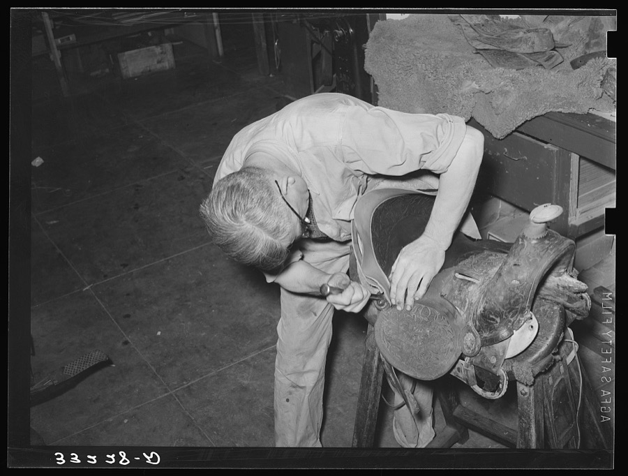
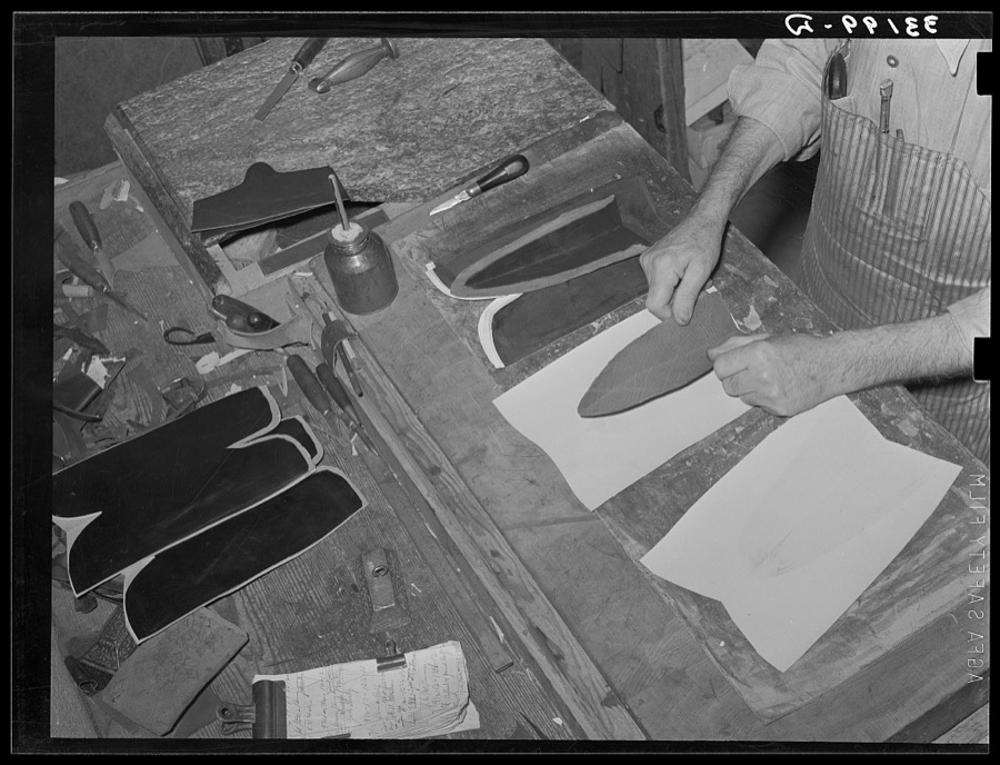
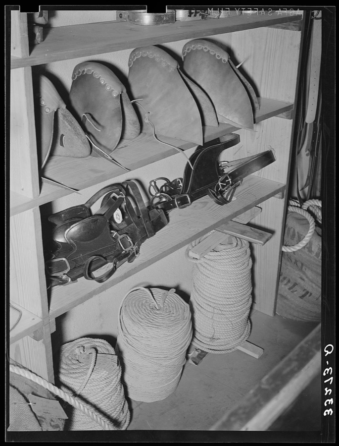
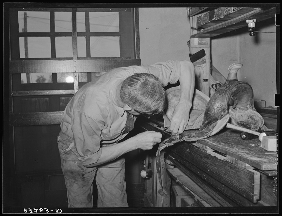
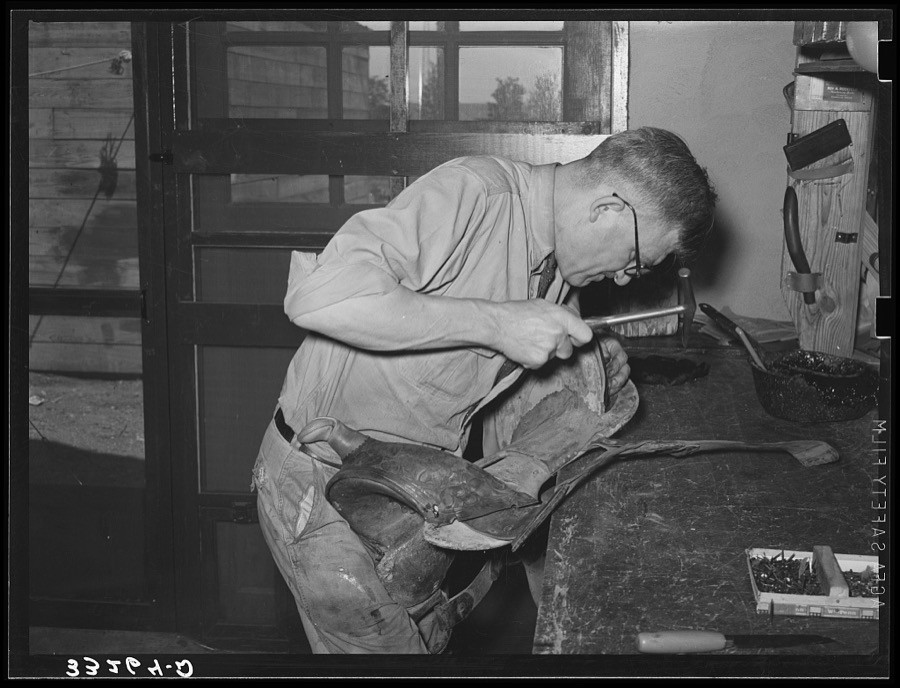
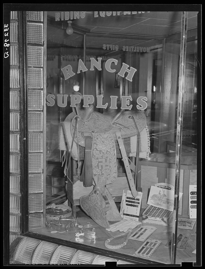
Taken for the Office of War Information and the Farm Security Administration, who photographed the country between 1935 and 1944. Works of United States government photographers, with no known restriction on use. Each opens its catalogue record.

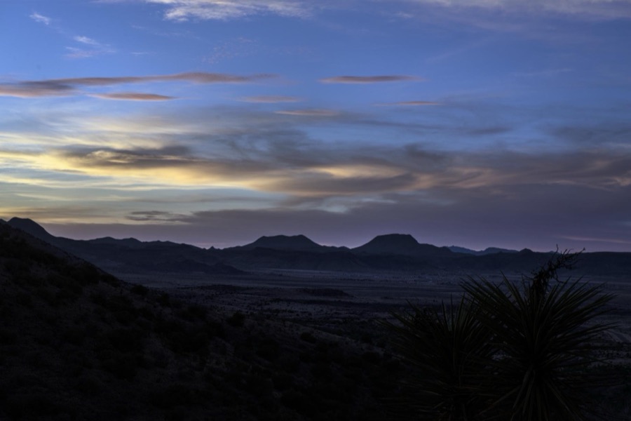
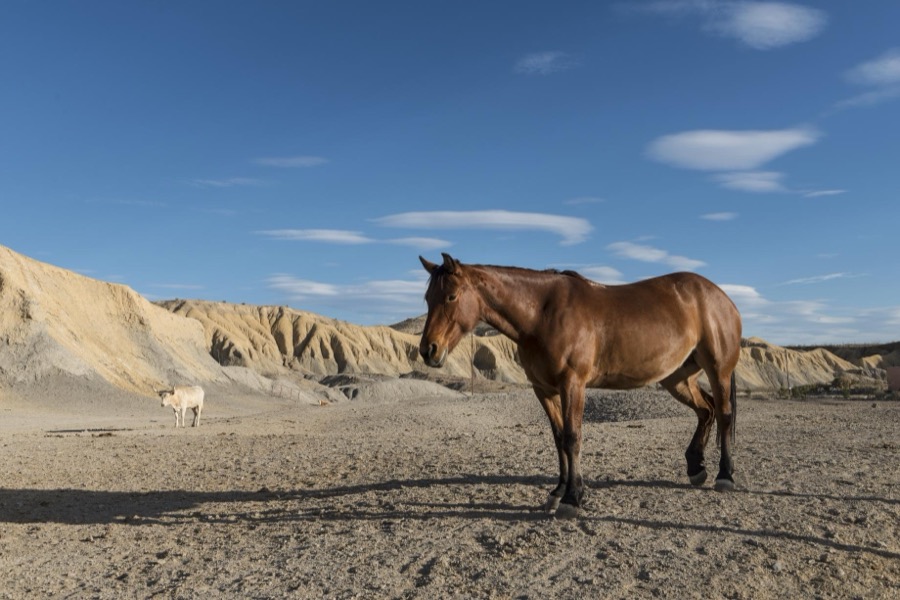
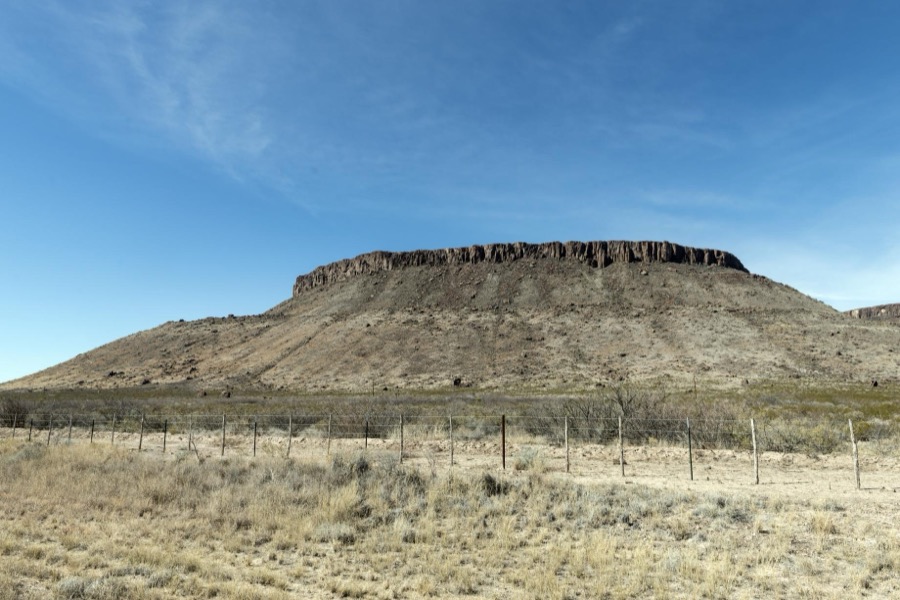
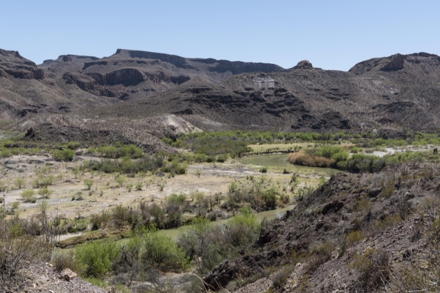
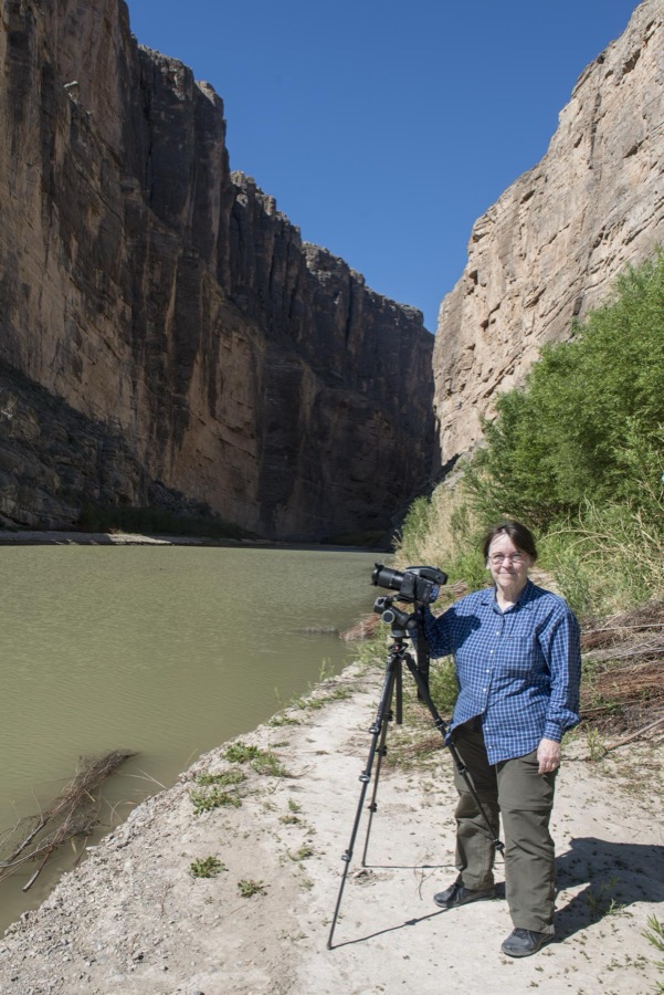

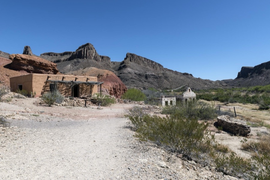
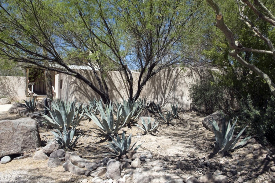
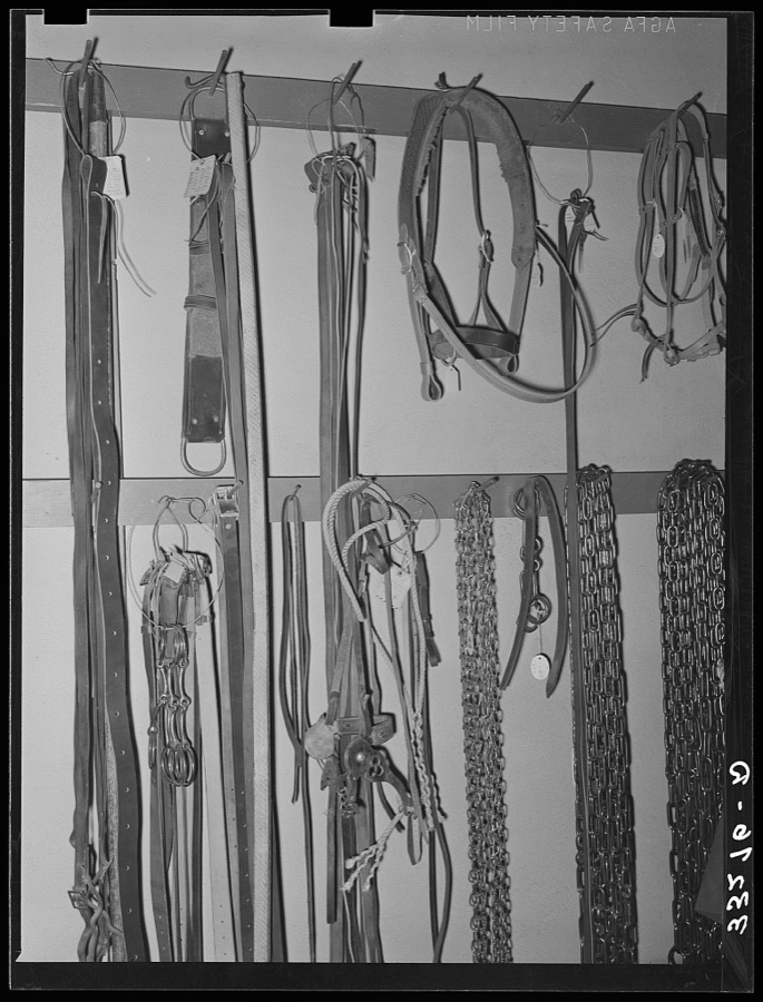
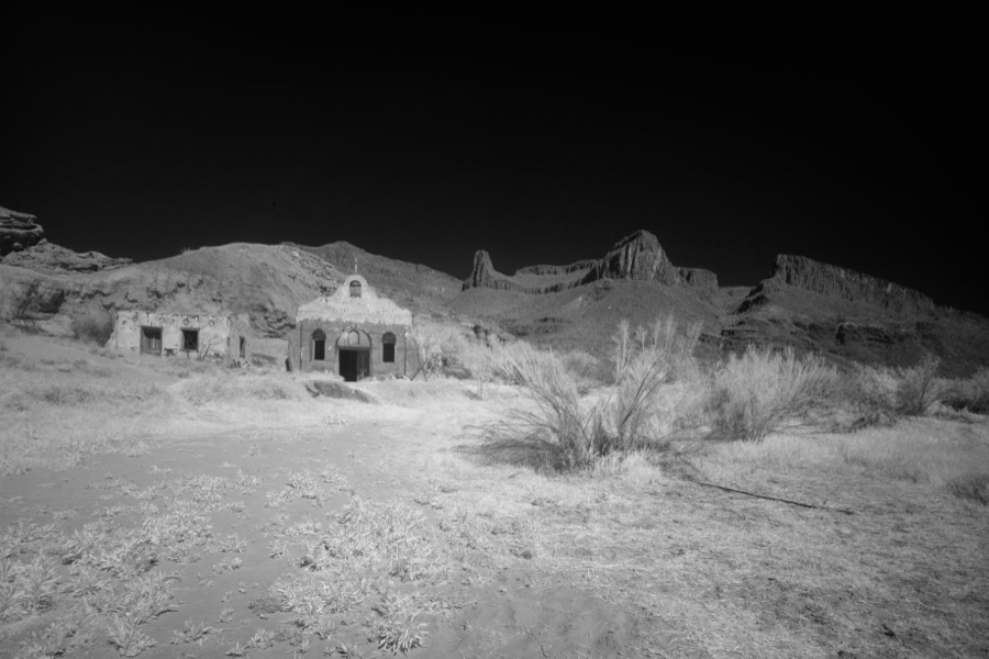
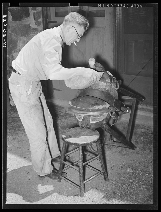
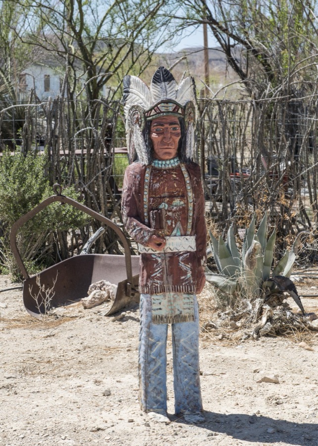
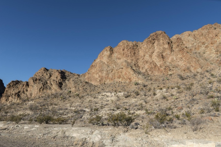
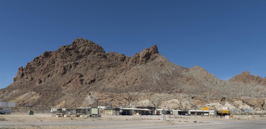

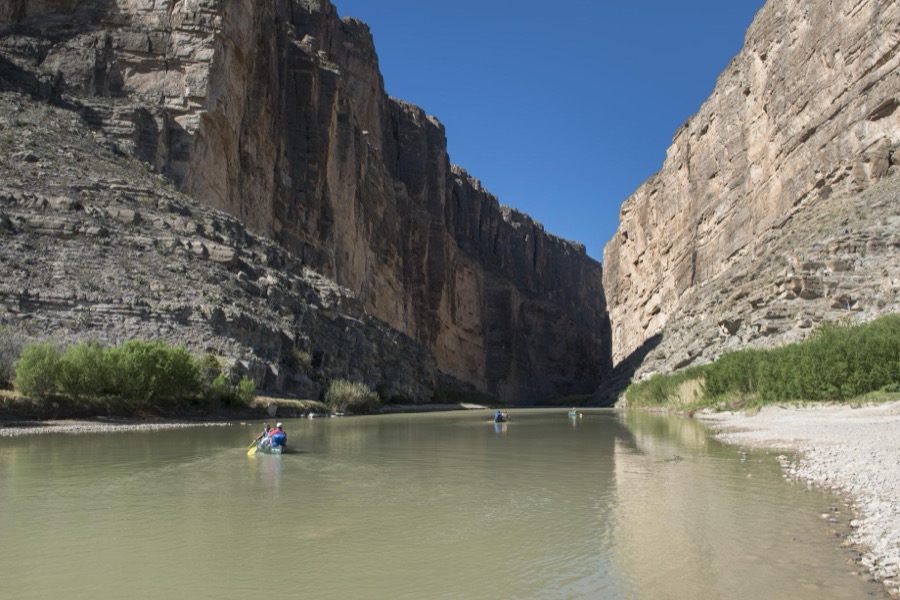
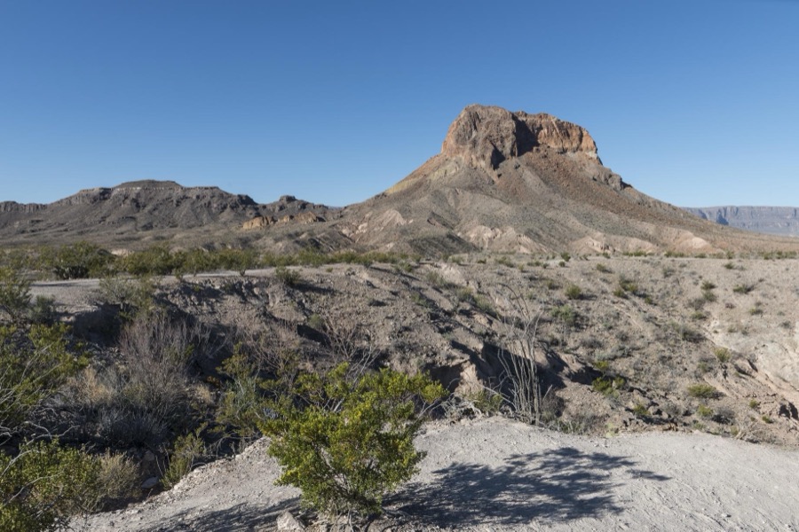
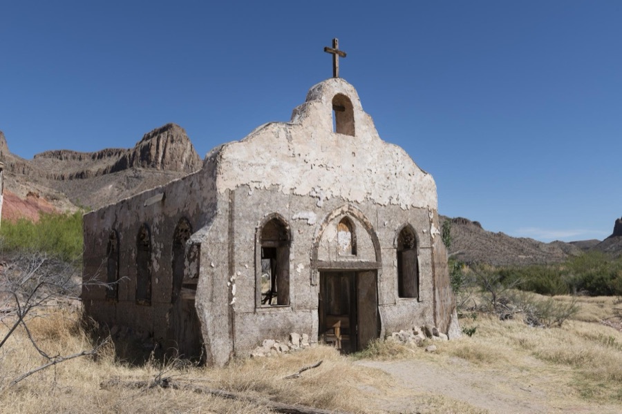
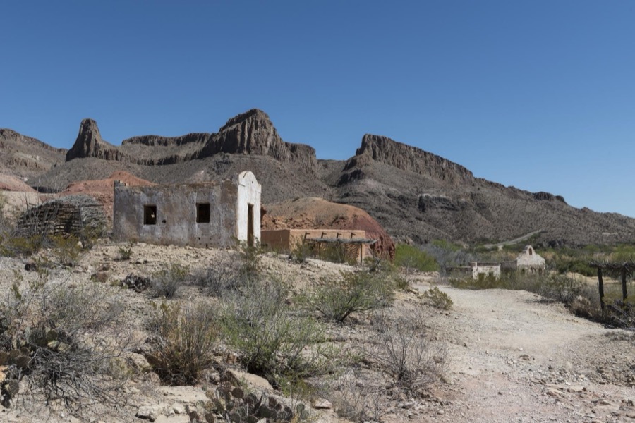


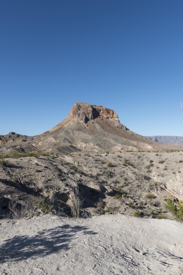

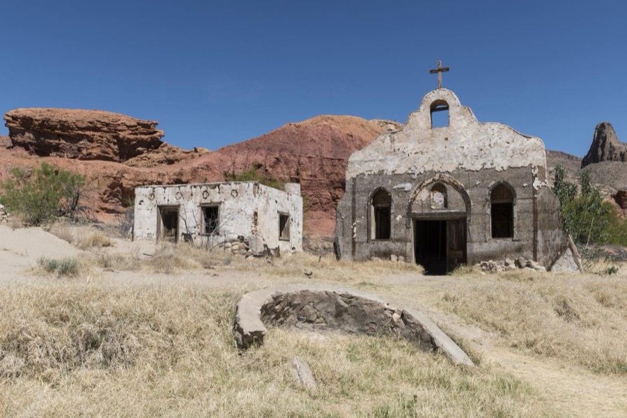
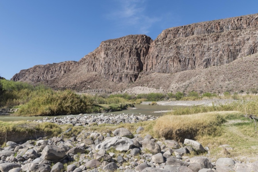
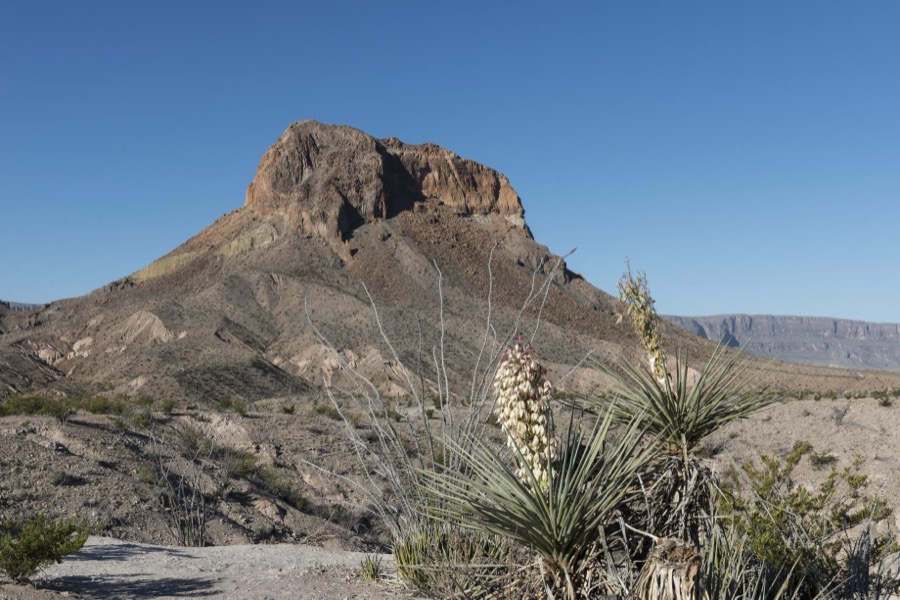
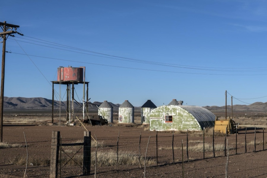

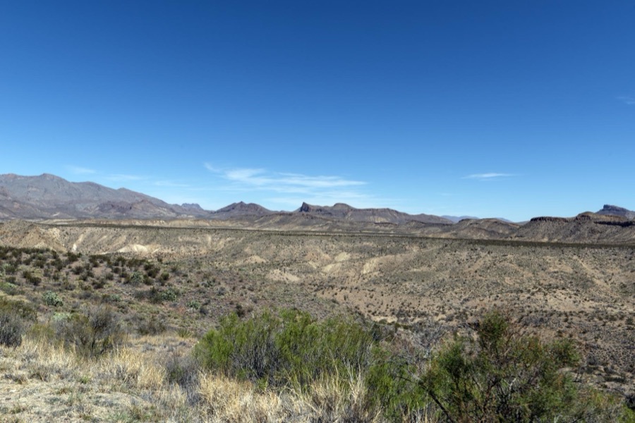
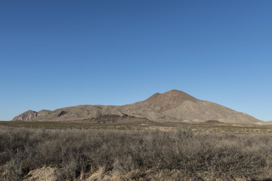

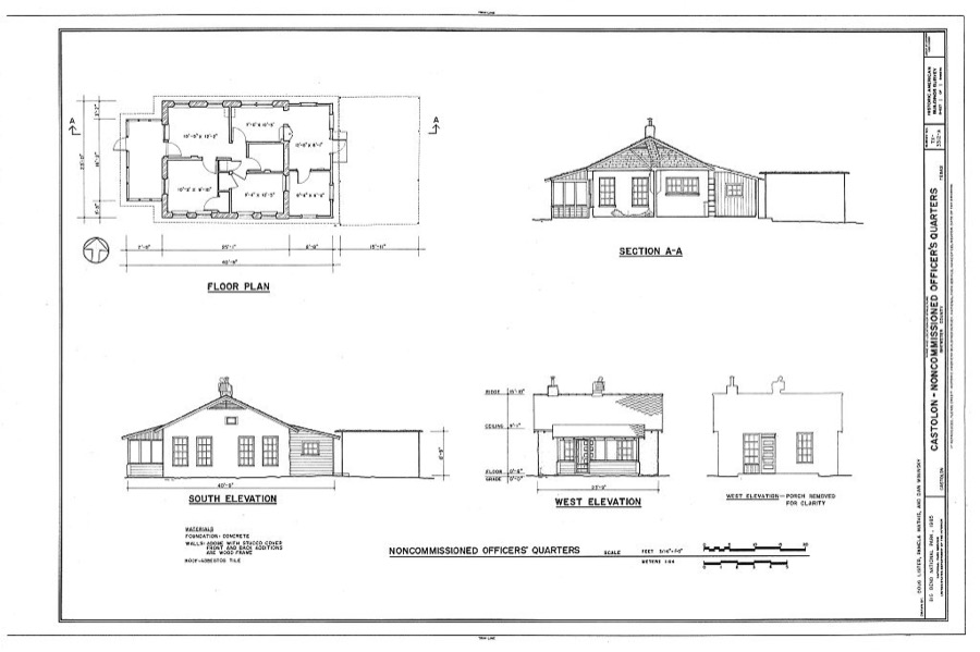
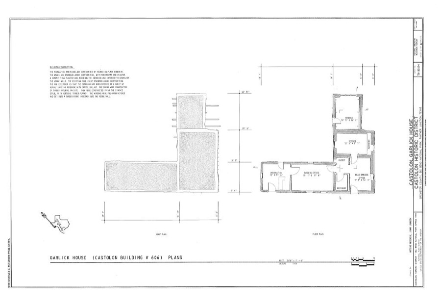
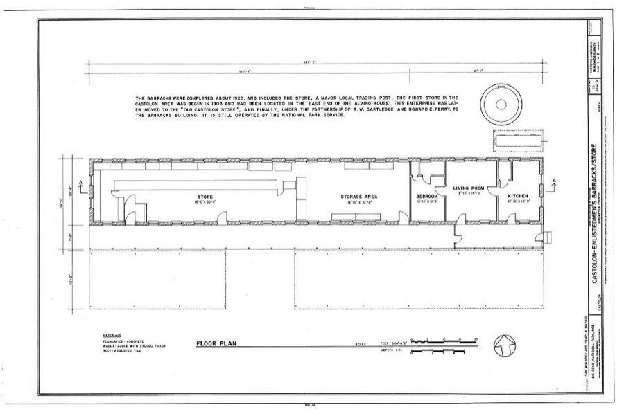
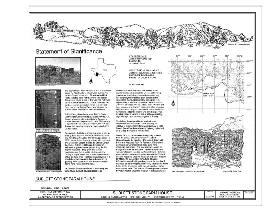
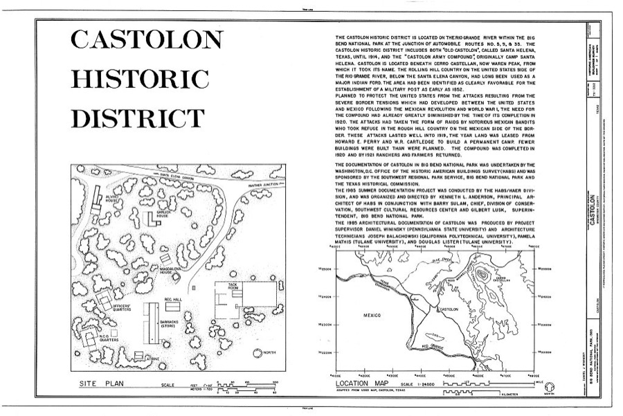
Every property in this county listed on the National Register of Historic Places, with the year it was listed and the federal nomination document.
| Photograph | Property | Type | Listed | Reference |
|---|---|---|---|---|
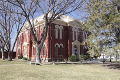 | Brewster County Courthouse and Jail | building | 1978 | 78002899 |
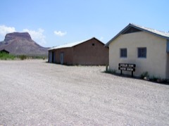 | Castolon Historic District | district | 1974 | 74000276 |
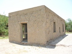 | Daniels Farm House | building | 1989 | 89001627 |
 | Gage Hotel | building | 2020 | 100005910 |
| Grandview Courts-Siesta Motel | district | 2025 | 100012263 | |
| Holland Hotel | building | 2025 | 100011753 | |
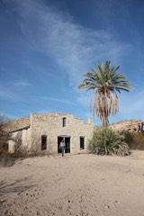 | Hot Springs | site | 1974 | 74000278 |
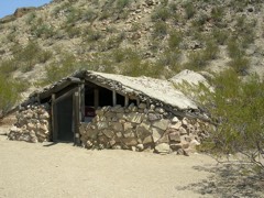 | Luna Jacal | building | 1974 | 74000282 |
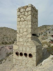 | Mariscal Mine | district | 1974 | 74000279 |
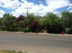 | Nolte-Rooney House | building | 1997 | 97000360 |
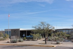 | Panther Junction Mission 66 Historic District | district | 2014 | 14000626 |
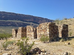 | Rancho Estelle | district | 1974 | 74000280 |
| Terlingua Historic District | district | 1996 | 96000132 | |
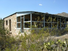 | Homer Wilson Ranch | district | 1975 | 75000153 |
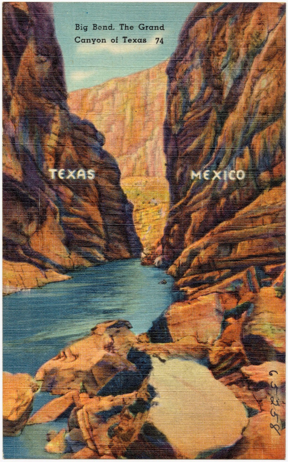
Selected from the Digital Public Library of America's 7 image records catalogued for this county. Every one shown here carries a public-domain status or a licence that permits reuse on a site that carries advertising; non-commercial, share-alike and restricted images are excluded. The selection is spread across the county's towns (at most eight per town), so no single institution's bulk upload crowds out the rest. Each opens the holding library's record, and the complete set at the Digital Public Library of America is one click away.
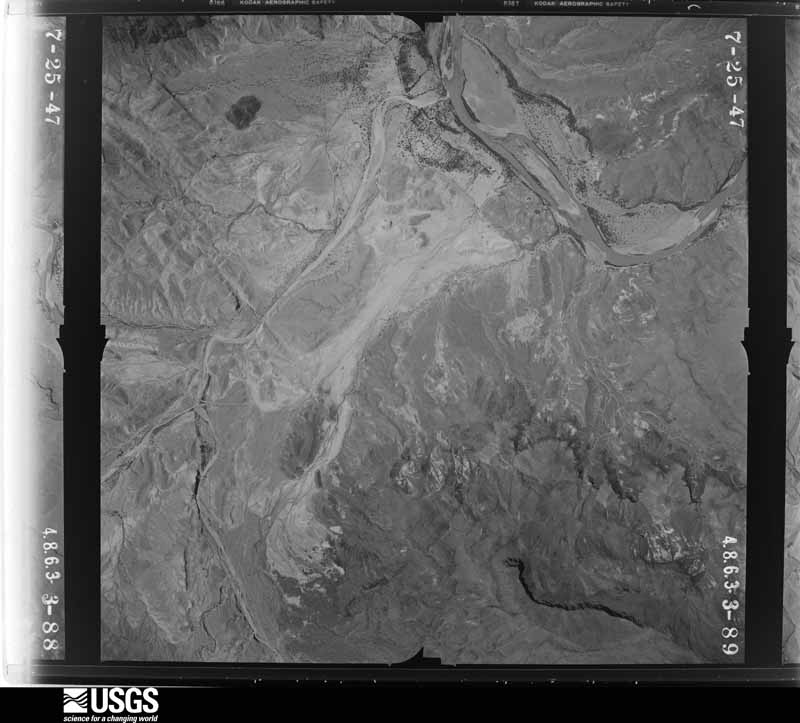
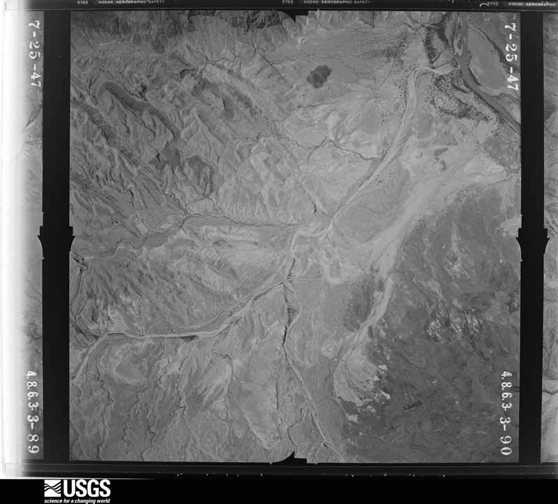
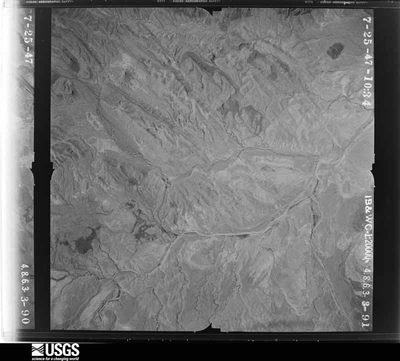
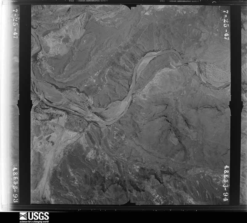
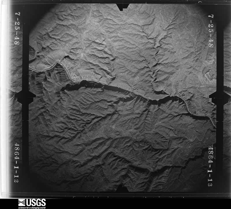
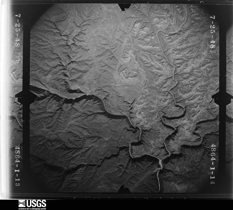
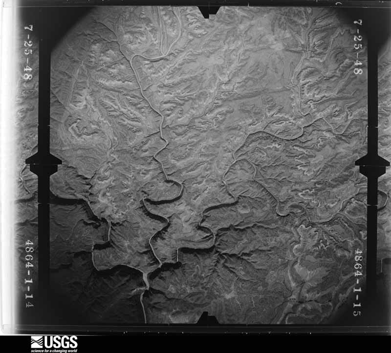
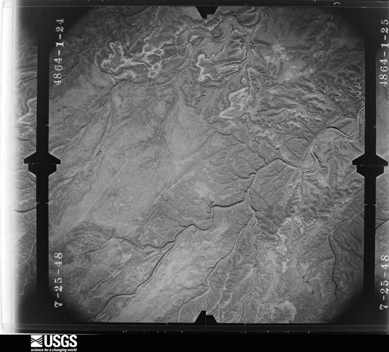
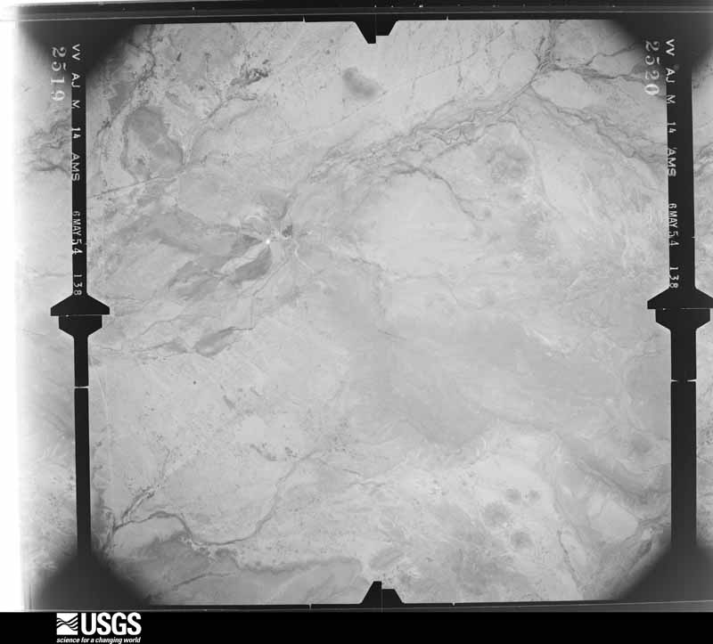
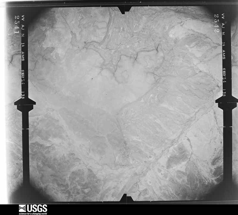
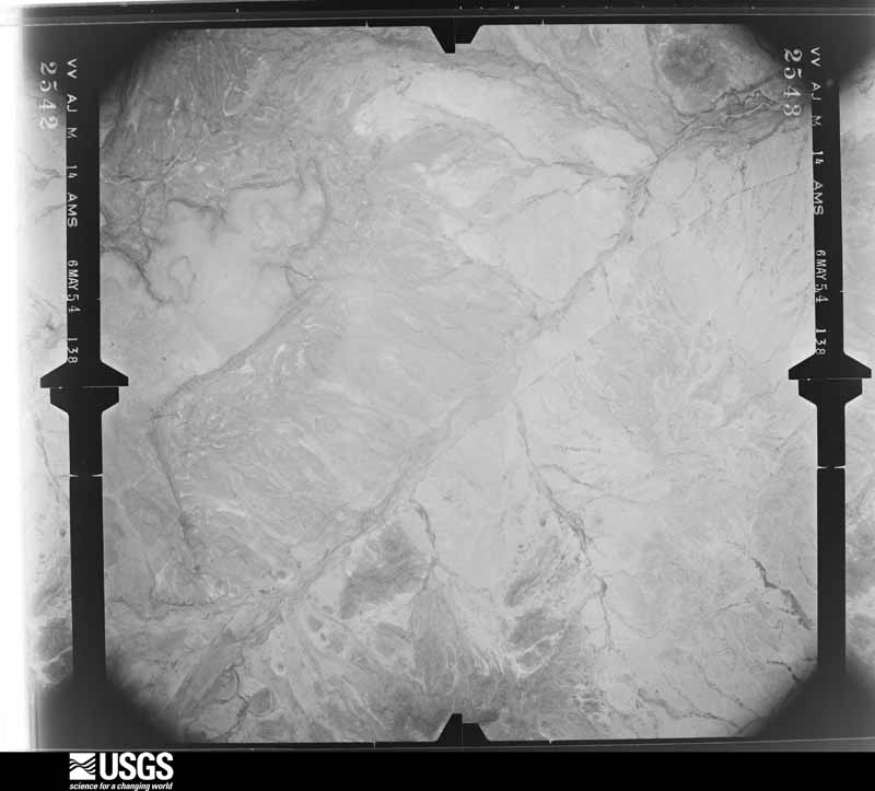
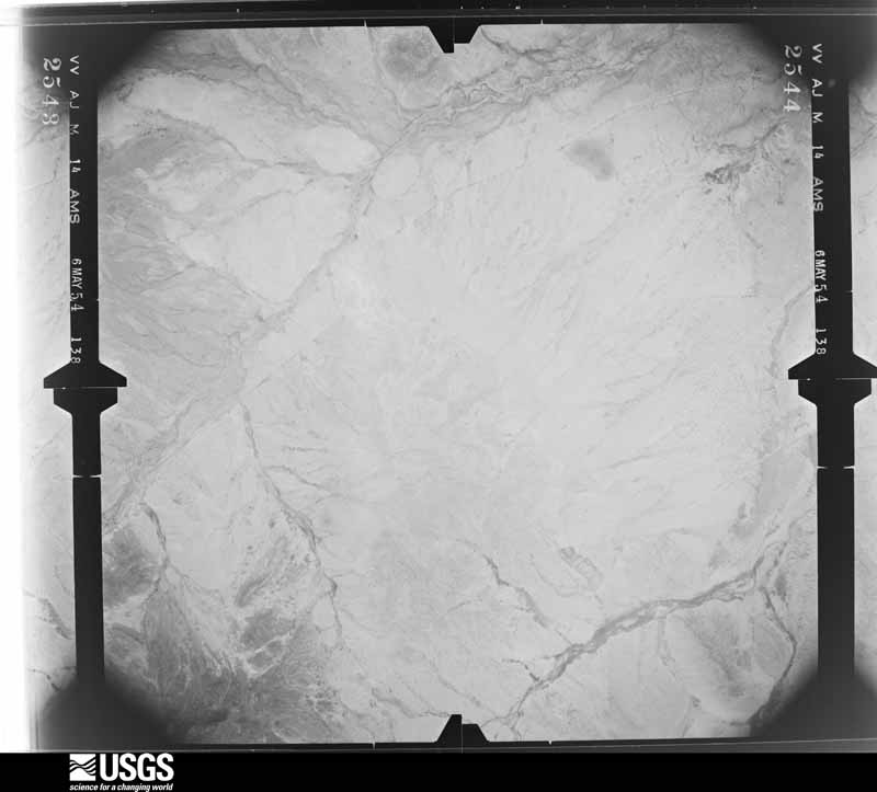
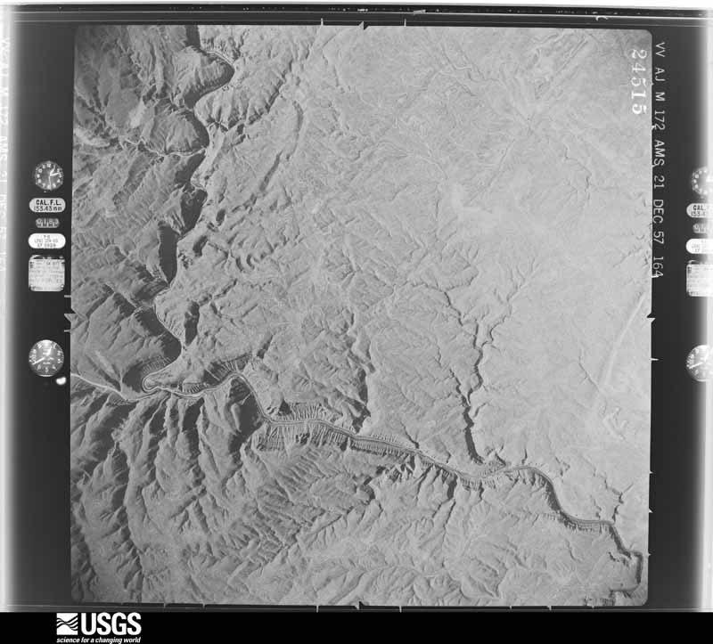
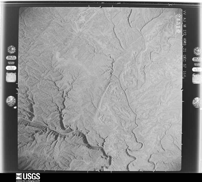
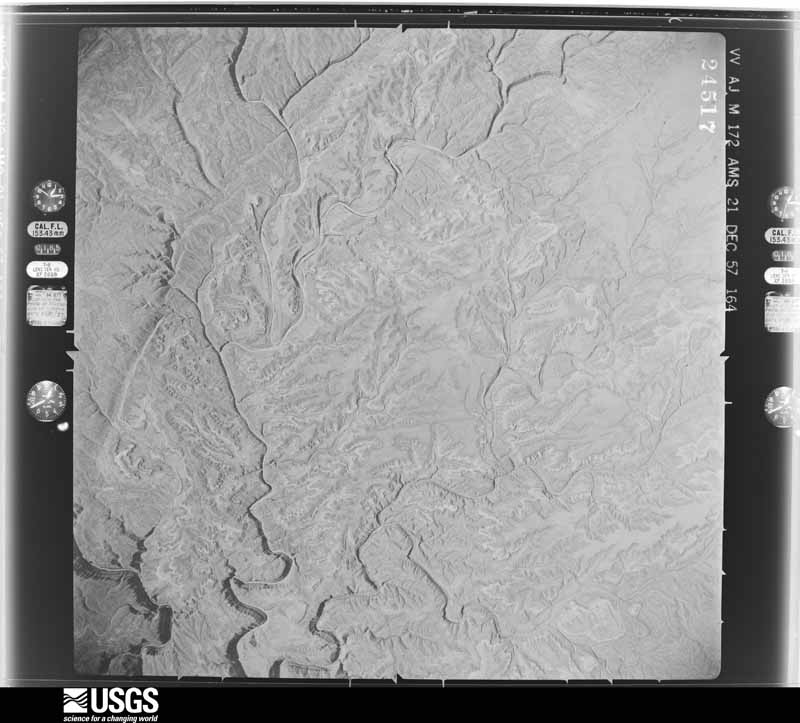
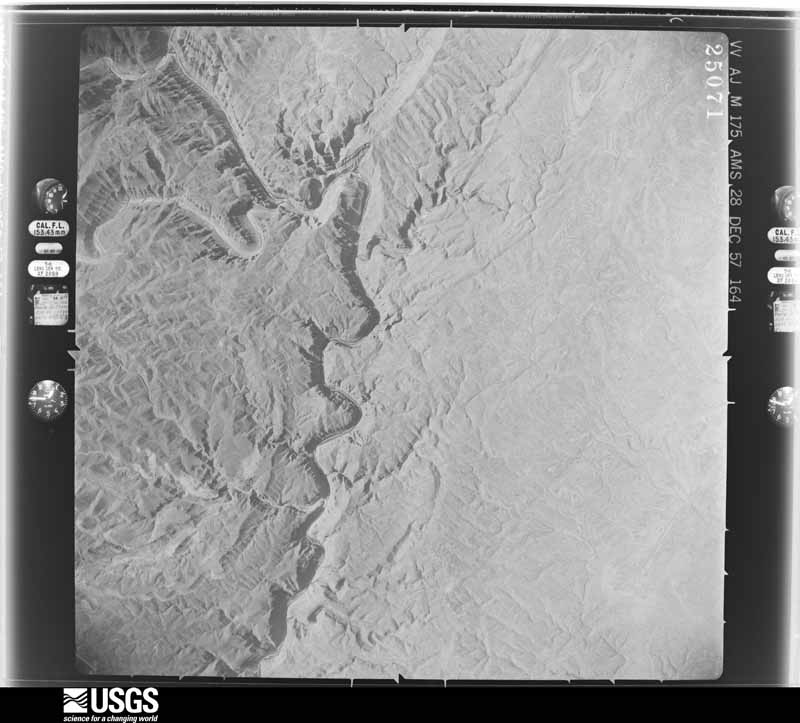
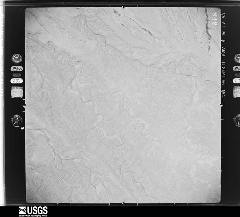
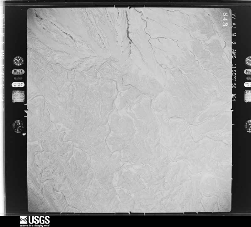
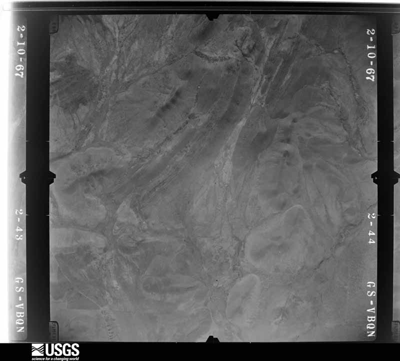
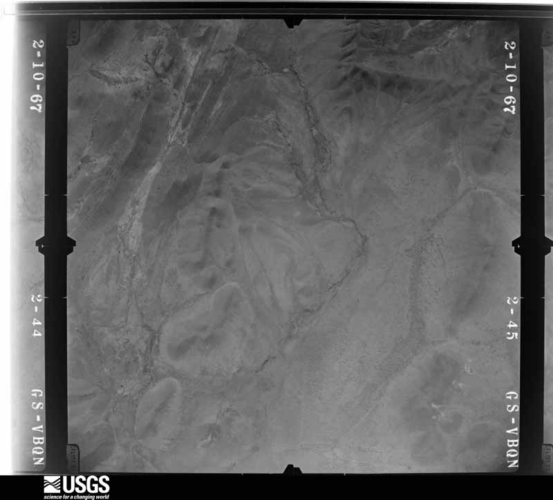
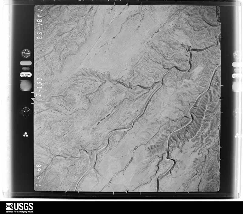
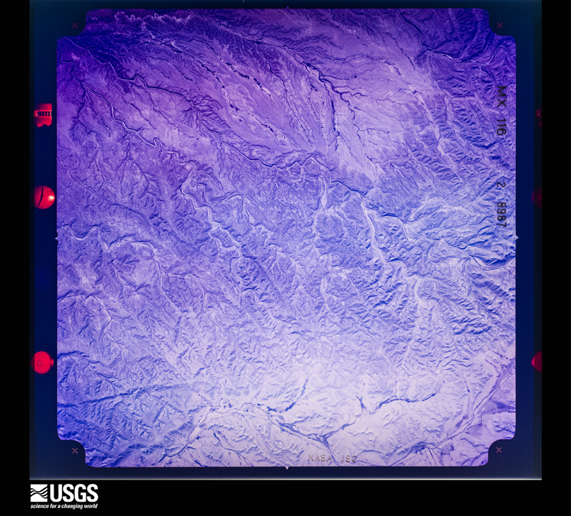
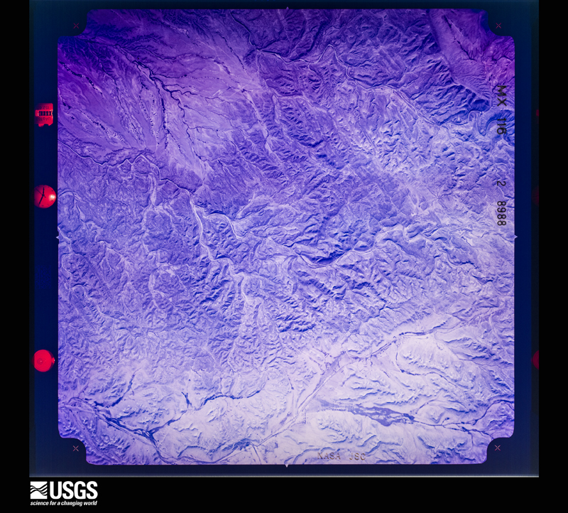
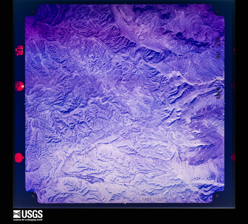
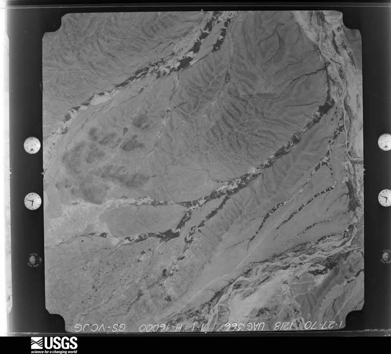
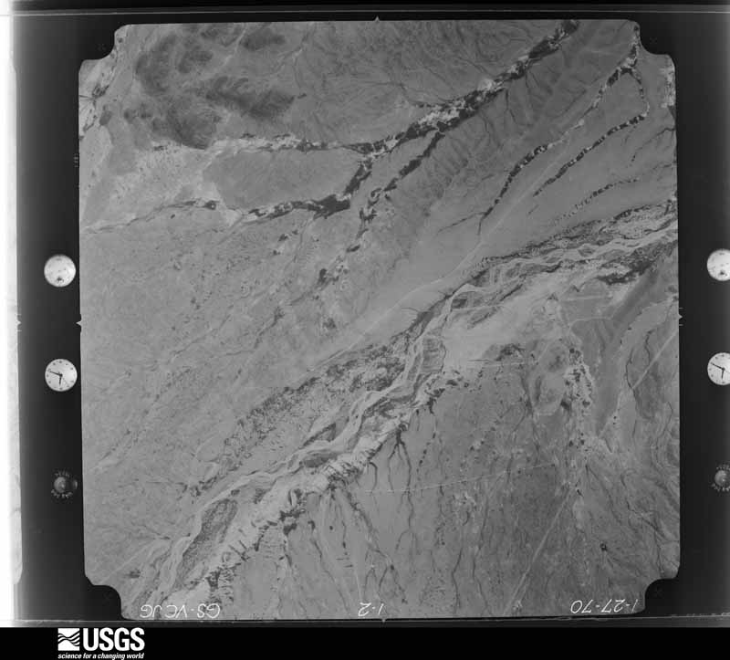
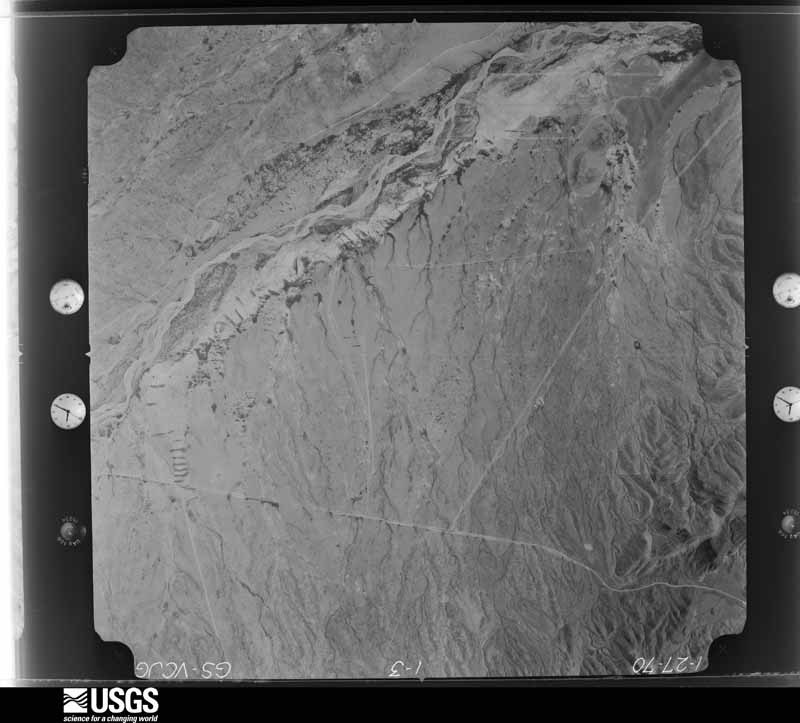
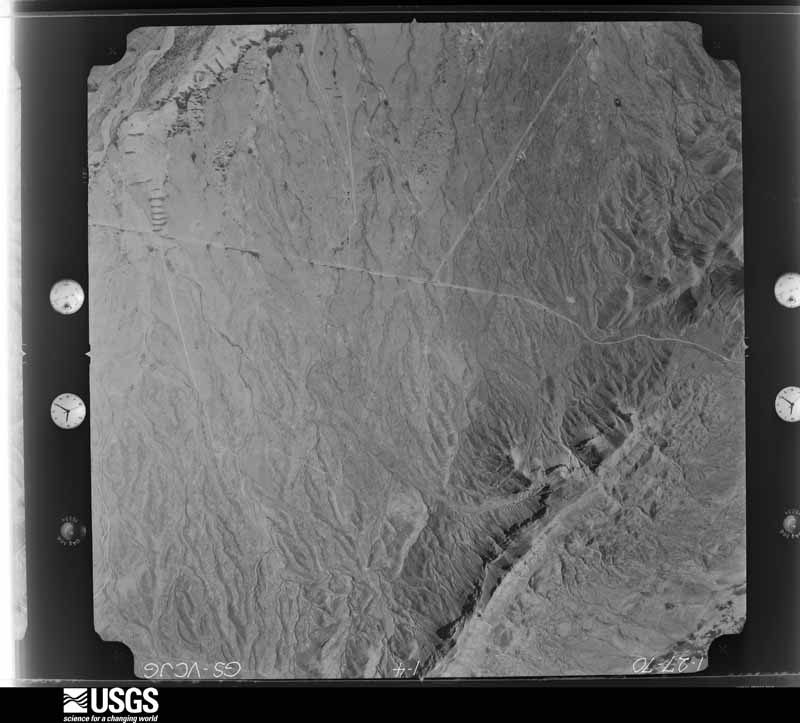
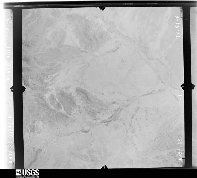
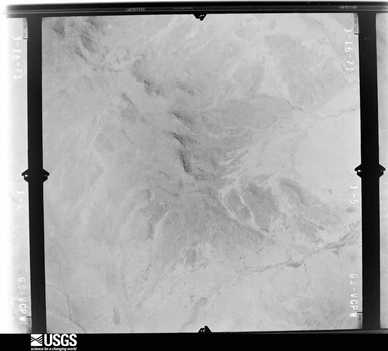
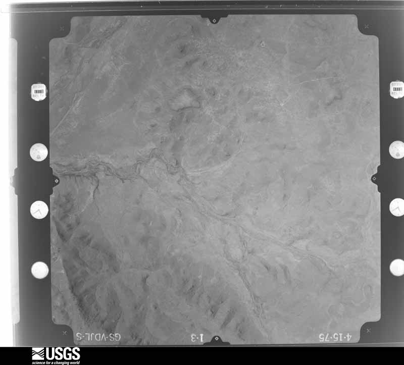
Flown by the U.S. Geological Survey between 1937 and 1989, the Aerial Photo Single Frames collection is the definitive mid-century view of the land: fields, roads and rivers as the camera saw them. The Survey holds 4,934 frames inside the rectangle that bounds this county; the 48 frames below were taken over the county itself, chosen across the decades of flights (at most four a year from that rectangle), so one flight cannot crowd out the rest. The full set is free to browse and download at EarthExplorer under the dataset Aerial Photo Single Frames.
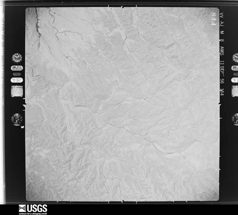
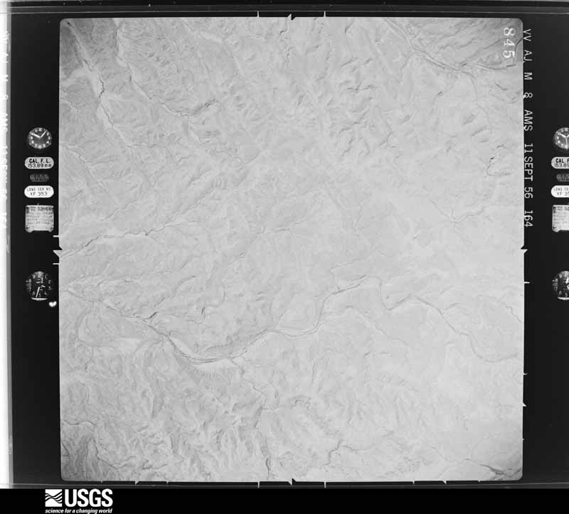
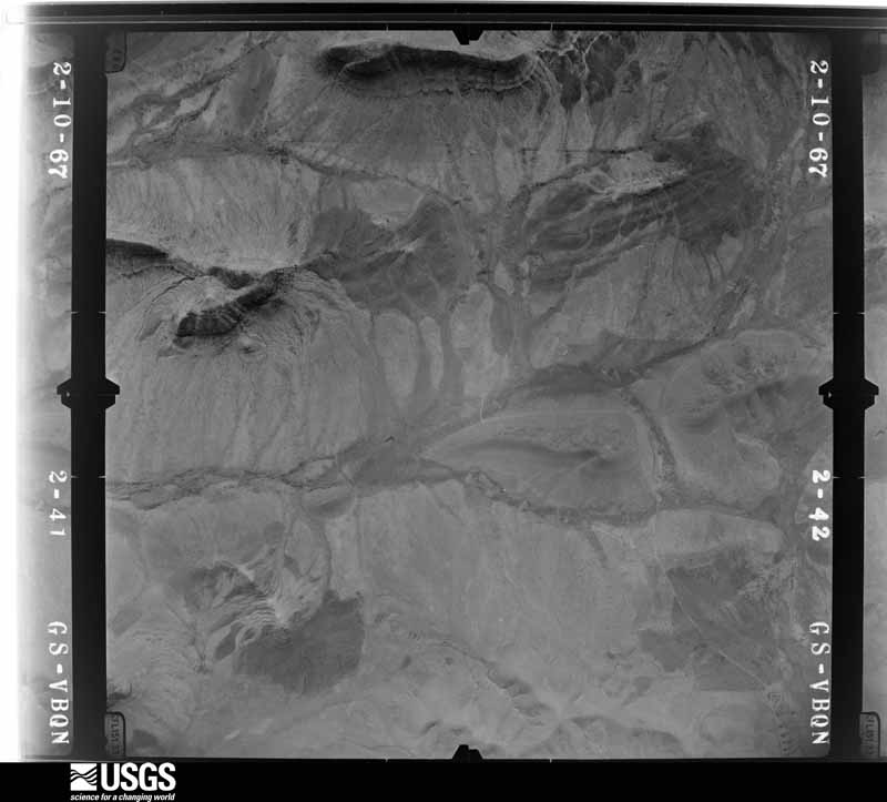
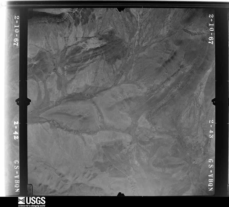

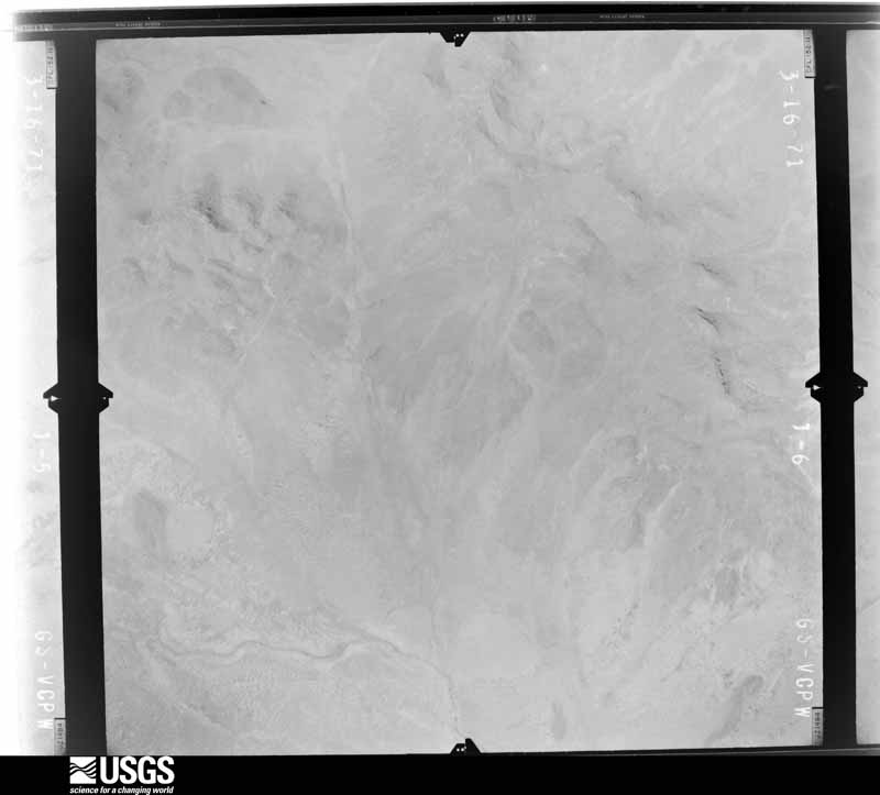
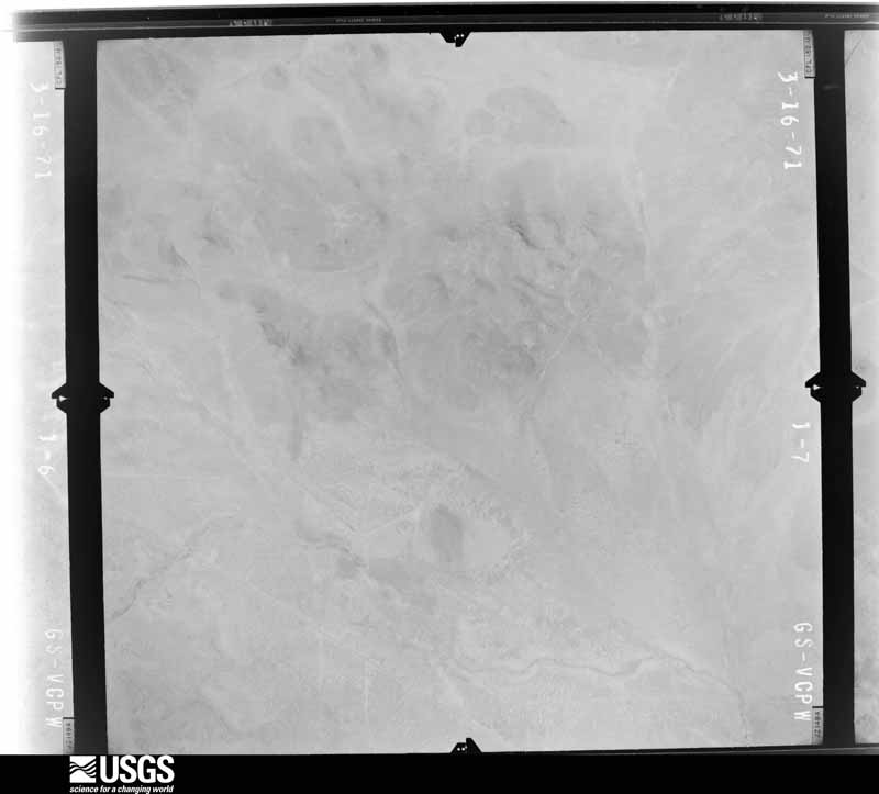
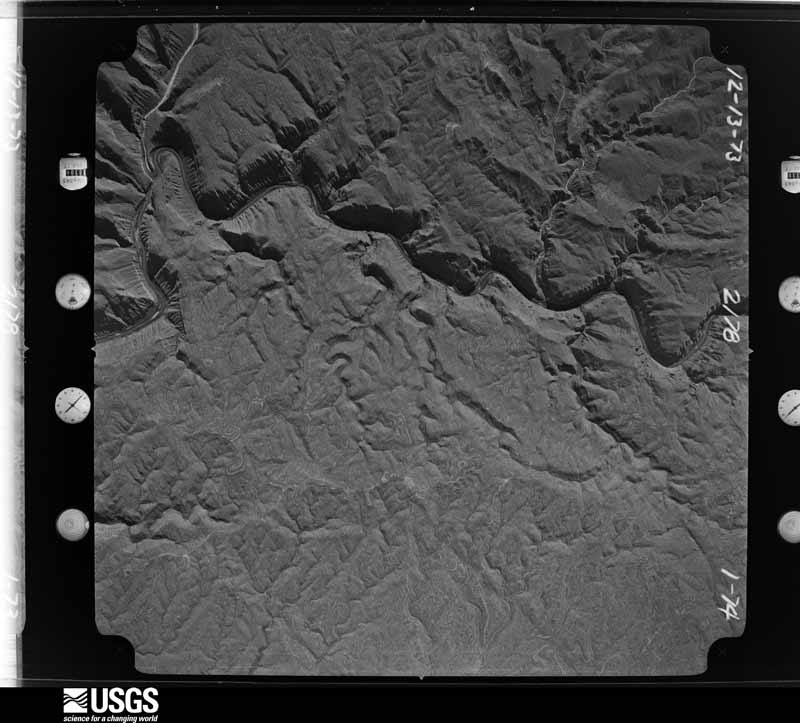
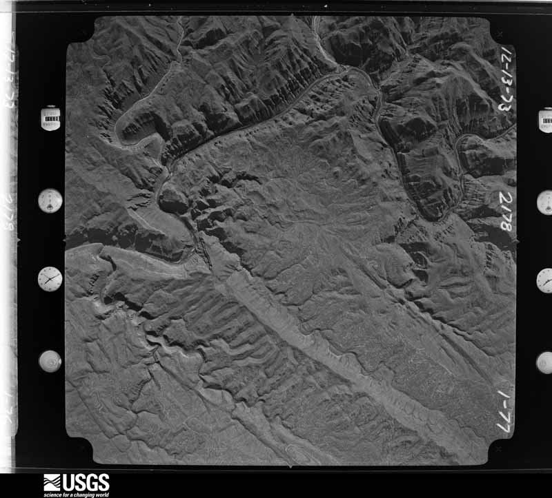
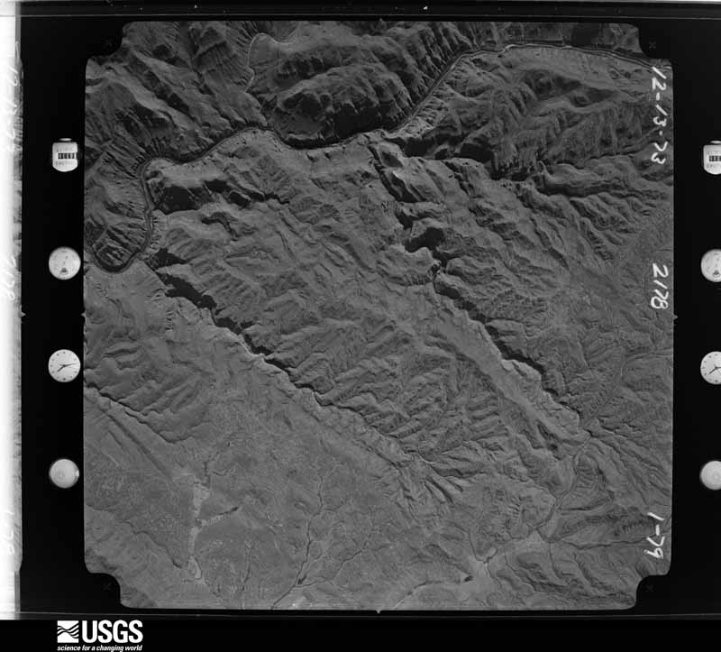
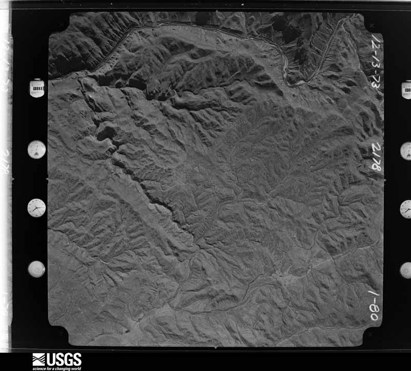
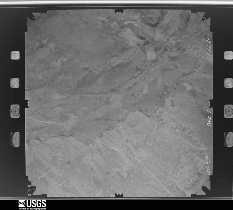
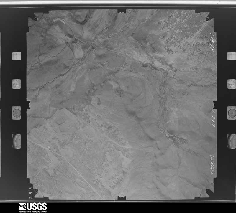
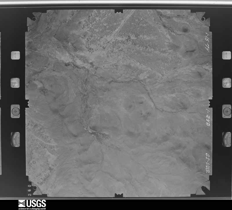
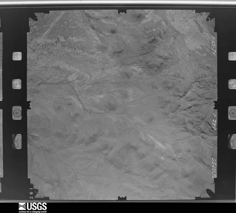
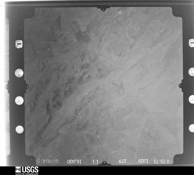
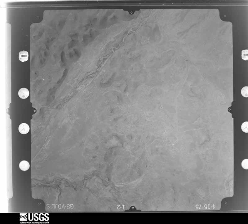
The thermometers that kept this county's weather, and the gages that measured the flow of its streams, as the federal records hold them. The extremes below are measured values from those records, not estimates.
Who lived here in 1950, one enumeration district at a time, as the Census Bureau described each district. Each row opens its official National Archives result, with Population Schedules and ED Maps available there.
Every wildfire the federal occurrence database records inside this county: 427 of them, burning about 335,564 acres. 272 started naturally and 10 were recorded as arson. Each settlement page carries the fires within five miles of it.
| Reported cause | Fires |
|---|---|
| Natural | 272 |
| Missing data/not specified/undetermined | 48 |
| Debris and open burning | 26 |
| Equipment and vehicle use | 18 |
| Smoking | 16 |
| Recreation and ceremony | 15 |
| Arson/incendiarism | 10 |
| Power generation/transmission/distribution | 9 |
| Railroad operations and maintenance | 7 |
| Misuse of fire by a minor | 5 |
| Fireworks | 1 |
The five largest, by the area the report gives. None of them was recorded as arson.
| Date | Cause | Size | Reported by | Name on the report |
|---|---|---|---|---|
| 9 May 2011 | Natural | 87,401 acres | Texas A & M Forest Service | IRON MOUNTAIN FIRE |
| 7 May 2011 | Natural | 83,995 acres | Texas A & M Forest Service | SCHWARTZ FIRE |
| 9 April 2011 | Smoking | 41,000 acres | Texas A & M Forest Service | ROPER FIRE |
| 28 May 2001 | Missing data/not specified/undetermined | 25,000 acres | Texas A & M Forest Service | WEST BRANCH - 1 |
| 24 April 2008 | Natural | 23,000 acres | Texas A & M Forest Service | CATHEDRAL FIRE |
| 23 April 2009 | Natural | 10,135 acres | Texas A & M Forest Service | ELEPHANT MTN COMPLEX |
| 1 March 2011 | Debris and open burning | 8,255 acres | Texas A & M Forest Service | MINE FIRE |
| 8 May 2011 | Missing data/not specified/undetermined | 5,975 acres | Texas A & M Forest Service | GAGE HOLLAND FIRE |
Every settlement page carries the fires within five miles of it - see the settlement index below.
The NOAA Storm Events Database holds 510 reports for this county, causing 1 death, 6 injuries and about $18,593,230 in recorded property damage. Each settlement page carries the reports that name it.
| Kind of event | Reports |
|---|---|
| Hail | 289 |
| Thunderstorm Wind | 101 |
| Flash Flood | 78 |
| Tornado | 21 |
| Heavy Rain | 17 |
| Funnel Cloud | 2 |
| Lightning | 1 |
| Flood | 1 |
The most serious of them, by death, then injury, then recorded damage. The accounts are quoted exactly as the forecast office filed them.
| When | Event | Place named | Harm | What the report says |
|---|---|---|---|---|
| February 2003 | Lightning | Panther Junction | 1 killed | A thunderstorm which moved across the Chisos Basin of the Texas Big Bend resulted in a lightning fatality. A man who was hiking in the Chisos Mountains died when he was struck by lightning. The man was reported missing by his wife two days later, and National Park rangers located his body within a few hours of the report. An autopsy confirmed a lightning strike was the cause of death. The time of the event is estimated based on archived satellite and lightning data. |
| June 1954 | Tornado (F0) | not stated | 3 hurt, $2,500 | no account filed |
| June 1997 | Hail | Study Butte | 2 hurt, $10,000 | North of where the RFD winds caused damage, hail up to softball size smashed car windshields and pummelled a couple of houses. One gentleman, who was attempting to close a window, was injured when hail broke the window and caused several facial lacerations. He was taken by private vehicle to the Alpine Hospital. A second man suffered minor cuts on his legs. |
| May 2005 | Hail | Panther Junction | 1 hurt, $5,000 | The National Weather Service Cooperative Observer at Heath Canyon, noted in the previous entry, sustained minor injuries when he was struck on the head by a very large hail stone. Baseball size stones were sporadically mixed with smaller hail, but additionally caused damage to a nearby trailer. |
| September 2008 | Flood | Lajitas | $14,000,000 | Lajitas Resort and Spa owner reported flooding across most of his property. This included the Ambush Golf Course, which was covered in water. |
| October 1995 | Hail | Alpine | $3,000,000 | An HP supercell moving to the southeast through northern Brewster County pummelled much of Alpine with large hail and high winds. The west and northwest sides of the city were hardest hit with windows knocked out of numerous houses, and about 200 homes having the paint blasted off the exterior walls. Many cars were damaged in the storm as well. The hail was two inches deep in some parts of town. During the storm a wind gust was measured at 56 mph. Total property damage was estimated at about $3 million. |
| May 1981 | Tornado (F1) | not stated | $250,000 | no account filed |
| April 2010 | Hail | Marathon | $150,000 | Several windows, roofs and other structural items were damaged at the Gage Hotel in Marathon, TX. |
| June 2012 | Hail | Marathon | $122,000 | A thunderstorm moved over Brewster County and produced golfball hail in Marathon. Windows were broken and vehicles were dented from the hail. The cost of damage is a very rough estimate. |
| May 1998 | Hail | Marathon | $100,000 | This small, but intense storm formed on an outflow boundary from storms to the north in Pecos County. The storm built right over the town of Marathon then slow moved to the southeast and weakened. |
| May 2009 | Thunderstorm Wind | Alpine Terlingua Arp | $88,000 | A NWS Storm Survey concluded that damage was done to 44 power poles near Ranch Road 2627 in Brewster County, TX. Some of the poles were snapped 3 to 4 feet above the ground and all the poles fell to the south as the storm moved in the same direction around 20 mph. The poles were not consecutively snapped in a row. At times, there were 15 snapped...then a gap...and then more snapped as you moved southeastward down the line. Please see the attached images for a detailed look at the damage path. |
| June 1997 | Thunderstorm Wind | Terlingua | $70,000 | Wind damage occurred to several buildings on a ranch located on Taurus Mesa. Much of the damage was limited to corrugated metal that was strewn across the countryside. Rear-flank downdraft (RFD) winds were thought to have been the mechanism for the high winds. The RFD then hit State Highway 118 where the Longhorn Ranch Motel sustained wind damage. A 12x20 foot sign was blown down as well as damage to doors and the roof.The Red Cross determined that 2 houses were destroyed and 6 houses sustained major damage in the area near the motel. |
| July 2025 | Flash Flood | Alpine | $50,000 | Emergency Management in Alpine reported one home inundated by flooding due to heavy rainfall and numerous road closures by local authorities. The time of occurrence is estimated by radar. The total cost of damages is also estimated. |
| June 2024 | Thunderstorm Wind | Titley | $50,000 | Multiple power poles were found snapped along a nearly one-mile span on US Highway 67 near Hovey Rd. Time is estimated from radar. Maximum wind speed and property damage cost are estimations. |
| April 2004 | Hail | Panther Junction | $50,000 | House windows and cars were heavily damaged. |
| August 2004 | Flash Flood | Alpine | $50,000 | The Alpine Police Department barricaded city streets at several low water crossings at 14:15 CST due to flash flooding. Shortly before 1600 CST Alpine Creek began to overflow its banks, and washed away the police barricades. During the next half hour, residents were evacuated from several homes along the creek as flood waters continued to rise. |
| June 2003 | Thunderstorm Wind | Terlingua | $50,000 | Several structures at Terlingua Ranch sustained roof damage and a few barns were destroyed. |
| May 2010 | Hail | Alpine | $45,000 | Several windows and skylights were broken by the hail on one home. In addition, two more homes received roof and window damage. One vehicle also reported damage. |
| June 2002 | Thunderstorm Wind | Marathon | $45,000 | Severe thunderstorm winds resulted in the downing of three power poles, and the roofs being blown off of three trailer houses. |
| October 2009 | Thunderstorm Wind | Lajitas | $40,000 | Rio Grande Electric Coop and the public reported wind damage from Lajitas, TX to Terlingua, TX. The severe winds first damaged the roof of a home and 6 power poles in Lajitas around 1700 CST. As the storm moved northeastward, it snapped 4 more power poles along State Highway 170 from Lajitas to Terlingua. |
| April 1999 | Hail | Panther Junction | $40,000 | This storm crossed the Rio Grande moving northeast over Castolon. The storm then turned right and displayed supercell characteristics. By the time the storm reached Rio Grande Village tennis ball size hail was falling as the storm proceeded straight east. The storm soon crossed into Mexico. |
| September 2022 | Flash Flood | Panther Junction | $30,000 | Heavy rain resulted in flash flooding in the Big Bend National Park. A section of the Lost Mine Trail collapsed which resulted in heavy damage to that section of trail. The bottom of the trail was covered in rocks and the top of the trail was too narrow to safely cross. The trail was closed as a result. Also, high water and debris crossed the pavement along the Ross Maxwell Scenic Drive. The pavement was broken off and washed away. Logs and rocks were washed onto the road which made it unsafe to travel. The damage and debris resulted in the road being closed. The cost of damage is a very rough estimate. |
| April 2004 | Hail | Lajitas | $30,000 | Seven vehicles received hail damage during the storm. |
| August 2002 | Flash Flood | Alpine | $30,000 | no account filed |
| June 2014 | Hail | Alpine | $29,000 | A thunderstorm moved across Brewster County and produced baseball sized hail on the edge of Alpine. There were car dents, damaged shingles, and broken house windows as a result of this hail. The cost of damage is a rough estimate. |
| October 2009 | Thunderstorm Wind | Panther Junction | $20,000 | Rio Grande Electric Coop reported 2 power poles were downed near Panther Junction, TX. The severe winds also damaged a roof to a hotel/lodge near the same area. |
| April 2003 | Flash Flood | Marathon | $20,000 | Local authorities reported minor damage to a few houses from flash flooding. |
| July 1999 | Thunderstorm Wind | Alpine | $20,000 | Strong thunderstorms in the Alpine area dropped around 2 inches of rain in 40 minutes and contained at least one microburst that lifted a roof off a house, damaged a porch, overturned sheds, and downed utility lines and tree limbs. |
| May 1996 | Thunderstorm Wind | Alpine | $20,000 | no account filed |
| May 2005 | Hail | Panther Junction | $15,000 | A National Weather Service Cooperative Observer reported walnut to golfball size hail at Heath Canyon. The hail persisted for ten minutes, and caused damage to a travel trailer. |
| August 2022 | Flash Flood | Study Butte | $10,000 | Heavy rain resulted in flash flooding in Brewster County. Route 16 and Old Maverick from the Maverick Entrance were closed due to the flooding. Rocks up to bowling ball sized were being removed. A couple of cars were stalled. The cost of damage is a very rough estimate. |
| May 2019 | Thunderstorm Wind | Marathon | $10,000 | A thunderstorm moved across Brewster County and produced wind damage near Marathon. At least four power poles were snapped off just above the ground along US 90. There was a transformer fire. The cost of damage is a very rough estimate. |
| May 2008 | Hail | Alpine | $10,000 | Brewster County emergency manager reported baseball sized hail at Hilltop Ranch. |
| April 2006 | Thunderstorm Wind | Study Butte | $10,000 | Severe thunderstorm winds blew several roofs off of outbuildings and rolled a recreational vehicle in the Study Butte/Terlingua Ranch area. |
| June 2005 | Hail | Castolon | $10,000 | The National Park Service reported that large hail caused minor damage in Big Bend National Park. A visitor's rental car was damaged by hailstones estimated to be at least one inch in diameter at Santa Elena Canyon. |
| July 2004 | Flash Flood | Alpine | $10,000 | Heavy rainfall and excessive runoff resulted in flash flooding along Alpine Creek. Police officers barricaded several city streets as flood waters inundated the roadways. Water levels in some locations climbed to three feet. Damage was reported to be minimum, but several houses were threatened. |
| July 1997 | Flash Flood | Alpine | $10,000 | Training cells in the Alpine area caused heavy rains and flooding in the city. About 3.5 inches of rain fell over the western half of the city. A van stalled in an underpass and eventually was almost submerged with the roof extending only 18" above the water. Two other vehicles were stranded in water as well. |
| August 1997 | Thunderstorm Wind | Alpine | $10,000 | A thunderstorm moving over the city of Alpine collapsed, producing a wet microburst that blew the roof off a trailer, overturned a carport, and knocked down sheds. The storm was not moving extremely fast (at 18kt) but was the fastest moving of the 44 cells on the Midland radar. The storm dumped half its volume in one 6 minute scan with the VIL dropping from 38 to 19 kg/m2. The debris was blown in the direction of the storm movement (NE-SW). |
| May 2019 | Thunderstorm Wind | Marathon | $6,000 | A thunderstorm moved across Brewster County and produced wind damage in Marathon. There was structural damage with a roof off on the west side of town. The cost of damage is a very rough estimate. |
| May 2023 | Thunderstorm Wind | Alpine Muni Arpt | $5,000 | Wind-driven hail damage was reported at Big Bend Regional Medical Center with broken windows. Hail size ranged from penny to half dollar size. Wind speed is estimated to have been between 70 to 80 mph. Property damage is an estimation. |
| September 2022 | Flash Flood | Panther Junction | $5,000 | Heavy rain resulted in flooding in Big Bend National Park. All dirt roads, backcountry roadside campsites, and at least one paved road were closed throughout Big Bend National Park due to flooding. The cost of damage is a very rough estimate. |
| October 2021 | Flash Flood | Panther Junction | $5,000 | Heavy rain resulted in flash flooding in Big Bend National Park near Rio Grande Village. Several dirt roads were reported closed or impassible due to debris and mud remaining from localized flash flooding. The cost of damage is a very rough estimate. |
| May 2018 | Thunderstorm Wind | Alpine | $5,000 | A thunderstorm moved across Brewster County and produced wind damage in Alpine. A power pole was blown down and signs were shattered and blown down due to strong winds and hail. The cost of damage is a very rough estimate. |
| June 2013 | Thunderstorm Wind | Alpine | $5,000 | A thunderstorm moved across Brewster County and produced an estimated 65 mph wind gust in Alpine. A tree fell on a vehicle. The size of the tree and damage to the vehicle are unknown. The cost of damage is a rough estimate. |
| June 2005 | Thunderstorm Wind | Marathon | $5,000 | A porch was blown off a rural residence near U.S. Highway 90 in northeastern Brewster County. Large hail up to the size of nickels accompanied the damaging wind gusts. |
| July 2004 | Thunderstorm Wind | Study Butte | $5,000 | A large water tank was blown over by severe thunderstorm winds near the Terlingua Ranch Lodge east of State Highway 118. |
| July 1998 | Thunderstorm Wind | Marathon | $5,000 | Three utility poles were knocked down by thunderstorm outflow winds. Power company officials estimated the wind to have been near 100 mph since the poles were a higher grade than most utility poles. Power was knocked out to customers over a vast area in parts of Brewster County. |
| August 2002 | Thunderstorm Wind | Alpine | $5,000 | no account filed |
| June 1998 | Thunderstorm Wind | Alpine | $3,000 | A cluster of small storms moved over Alpine with microburst winds knocking down utility poles and blowing out windows. |
| June 1997 | Hail | Panther Junction | $3,000 | Baseball size hail broke windows in at least one car in the northern portions of Big Bend National Park on the extension of U.S. Highway 385. |
| August 1997 | Thunderstorm Wind | Study Butte | $3,000 | A wet microburst destroyed two cab-over pickup truck trailers. One trailer was thrown over utility lines into an adjacent yard while the other trailer was thrown into a utility pole. |
| May 1975 | Tornado (F0) | not stated | $2,500 | no account filed |
| June 1962 | Tornado (F2) | not stated | $2,500 | no account filed |
| June 1958 | Tornado (F1) | not stated | $2,500 | no account filed |
| May 2015 | Thunderstorm Wind | Study Butte | $2,000 | A thunderstorm moved across Brewster County and produced wind damage near Terlingua. Two power poles were reported to have been knocked down by wind on Highway 118 and Farm to Market Road 170. The winds were estimated to be 80+ mph. The cost of damage is a very rough estimate. |
| June 2010 | Thunderstorm Wind | Marathon | $2,000 | The local law enforcement reported power lines down at the border patrol checkpoint. |
| October 2009 | Thunderstorm Wind | Alpine | $2,000 | A transmission power pole was reported down along State Highway 118. |
| May 1999 | Hail | Alpine | $2,000 | Car windows damaged. |
| July 2005 | Flash Flood | Lajitas | $1,000 | The public reported that flowing flood waters had washed away high water markers in low water crossings on several roads. |
| May 2003 | Hail | Marathon | $1,000 | Trained storm spotters reported very large hail along Highway 385 south of Marathon. Stones ranging in size from quarters to tennis balls were reported. No significant damage was reported. Hail accumulated over one foot deep and persisted in drifts beyond 2015 CST. |
The Survey's mineral resources record lists 88 workings inside this county. 11 still produce and 77 are closed or unrecorded. Each settlement page carries the workings within five miles of it.
| Commodity | Workings |
|---|---|
| Mercury | 37 |
| Fluorine-Fluorite | 17 |
| Uranium | 7 |
| Manganese | 4 |
| Barium-Barite | 4 |
| Bentonite | 3 |
| Sand and Gravel, Construction | 3 |
| Fluorine-Fluorite, Uranium | 2 |
| Iron | 2 |
| Uranium, Fluorine-Fluorite | 1 |
| Manganese, Silver, Gold | 1 |
| Silver | 1 |
| Copper | 1 |
| Silver, Lead, Molybdenum, Copper, Zinc | 1 |
The least common of them first, because a county's hundredth gravel pit says nothing its first ten did not.
| Where | Site | Commodity | Status | Recorded |
|---|---|---|---|---|
| Bird Mine | Silver, Lead, Molybdenum, Copper, Zinc | Producer | 1885 | |
| Bissett Prospect | Copper | Occurrence | Chrysocolla | |
| Burdett Prospect | Manganese, Silver, Gold | Occurrence | ||
| Paisano Mine | Fluorine-Fluorite, Silica, Limestone, General | Producer | 1971 | |
| Unnamed Prospect | Uranium, Fluorine-Fluorite | Occurrence | Replacement | |
| Unnamed Prospect | Silver | Occurrence | Vein | |
| Unnamed Prospect | Uranium, Copper | Occurrence | Uranophane | |
| Unnamed Prospect | Molybdenum, Copper | Occurrence | ||
| Unnamed Prospect | Copper, Manganese | Occurrence | ||
| Webb Pit | Stone | Producer | ||
| Woodward Ranch Mine | Gemstone | Producer | ||
| Hess Ranch Prospect | Iron | Occurrence | Replacement | |
| Hudspeth | Iron | Unknown | ||
| Unnamed Prospect | Fluorine-Fluorite, Uranium | Occurrence | ||
| Unnamed Prospect | Fluorine-Fluorite, Uranium | Occurrence | ||
| Alpine Bentonite Pit | Bentonite | Occurrence | Bentonite | |
| Bentonite Mine | Bentonite | Producer | ||
| Border Mines Bentonite Plant | Bentonite | Producer | ||
| Kimball Quarry & Plant | Sand and Gravel, Construction | Producer | ||
| The Ranch Pit & Plant | Sand and Gravel, Construction | Producer | ||
| Unnamed Pit | Sand and Gravel, Construction | Producer | Gravel, Sand | |
| Clark Prospect | Manganese | Occurrence | Iron | |
| Lockhausen | Barium-Barite | Unknown | ||
| Stephenson Prospect | Manganese | Unknown | ||
| Unnamed Occurrence | Manganese | Occurrence | Iron | |
| Unnamed Occurrence | Barium-Barite | Occurrence | Vein | |
| Unnamed Occurrence | Barium-Barite | Occurrence | Barite | |
| Unnamed Prospect | Barium-Barite | Occurrence | Vein | |
| Unnamed Prospect | Manganese | Occurrence | ||
| Adobe Walls Mine | Mercury, Uranium | Past Producer | Carnotite, Cinnabar | |
| Anderson Ranch Prospect | Uranium | Occurrence | Carnotite | |
| Black Mountain Prospect | Uranium | Occurrence | ||
| Fizzle Flat and Green Valley Prospects | Uranium | Occurrence | Carnotite, Tyuyamunite | |
| Nevill Ranch Occurrence | Uranium | Occurrence | Carnotite | |
| Stillwell Mountain Prospect | Uranium | Occurrence | ||
| Unnamed Occurrence | Uranium | Occurrence | ||
| Big Bend National Park Deposits | Fluorine-Fluorite | Occurrence | ||
| Corazones Peaks District | Fluorine-Fluorite | Unknown | ||
| Marathon Plant | Fluorine-Fluorite | Producer | ||
| Paisano Mine | Fluorine-Fluorite | Past Producer | Fluorite | |
| Paisano Mine | Fluorine-Fluorite | Producer | 1952, 1971, 1982 | |
| Piedra Azul Prospect | Fluorine-Fluorite | Occurrence | 1952 | |
| Unnamed Occurrence | Fluorine-Fluorite | Occurrence | Replacement | |
| Unnamed Occurrence | Fluorine-Fluorite | Occurrence | Replacement | |
| Unnamed Occurrences | Fluorine-Fluorite | Occurrence | ||
| Unnamed Occurrences | Fluorine-Fluorite | Occurrence | ||
| Unnamed Occurrences | Fluorine-Fluorite | Occurrence | ||
| Unnamed Occurrences | Fluorine-Fluorite | Occurrence | ||
| Unnamed Occurrences | Fluorine-Fluorite | Occurrence | ||
| Unnamed Prospect | Fluorine-Fluorite | Occurrence | Replacement | |
| Unnamed Prospects | Fluorine-Fluorite | Occurrence | Replacement | |
| Unnamed Prospects | Fluorine-Fluorite | Occurrence | Replacement | |
| Brown Prospects | Mercury | Occurrence | Vein | |
| Canyon Group Prospect | Mercury | Prospect | Cinnabar | |
| Chisos Mine | Mercury | Past Producer | 1897, 1903, 1943 | |
| Colquitt Tigner Mine | Mercury | Past Producer | 1925, 1934 | |
| Coltrin's Camp Occurrence | Mercury | Occurrence | ||
| Duncan Mine | Mercury | Past Producer | Vein | |
| Fernandes Mine | Mercury | Past Producer | Vein | |
| Lafarelle | Mercury | Occurrence | Vein | |
| Le Roi Prospect | Mercury | Occurrence | Vein | |
| Little Thirty-Eight Mine | Mercury | Past Producer | 1933 | |
| Lone Star Mine | Mercury | Past Producer | Vein | |
| Lowe Prospect | Mercury | Prospect | Cinnabar | |
| Maggie Sink Mine (Bobs) | Mercury | Past Producer | Cinnabar | |
| Marathon Dome Prospect | Mercury | Prospect | 1945 | |
| Margaret D Mine | Mercury | Past Producer | Vein | |
| Mariposa Mine | Mercury | Past Producer | 1884, 1895, 1945 | |
| Mariscal Mine | Mercury | Past Producer | 1900, 1917, 1943 | |
| Monte Cristo and Croesus Claims | Mercury | Past Producer | Cinnabar | |
| Pickens Oil Prospect | Mercury | Occurrence | Replacement | |
| Rainbow Mine | Mercury | Past Producer | 1900, 1916, 1942 | |
| Rio Grande Prospect (Sec. 70, Block 341) | Mercury | Occurrence | Vein | |
| Rio Grande Quicksilver Co. claims (Sec. 40, Block G-12) | Mercury | Occurrence | Replacement | |
| Sample Group Mine | Mercury | Past Producer | Cinnabar | |
| Section 98 Prospects | Mercury | Occurrence | Solution-Cavity Filling | |
| Star Mine | Mercury | Past Producer | Vein | |
| Study Butte Mine | Mercury | Past Producer | 1902, 1903, 1972 | |
| Tarrant Property in Sec. 18 | Mercury | Past Producer | Cinnabar | |
| Tarrant Property in Sec. 39 | Mercury | Past Producer | Cinnabar | |
| Terlingua District | Mercury | Past Producer | 1840, 1888, 1973 | |
| Two-Forty-Eight Mine | Mercury | Past Producer | 1902, 1926, 1945 | |
| Unnamed Mine | Mercury | Past Producer | ||
| Unnamed Prospect | Mercury | Occurrence | Vein | |
| Unnamed Prospect | Mercury | Occurrence | ||
| Unnamed Prospects | Mercury | Occurrence | ||
| Unnamed Prospects | Mercury | Occurrence | ||
| Waldron Workings in Sec. 40 | Mercury | Past Producer | 1910, 1935 |
Named settlements recorded in the Geographic Names Information System, each with the topographic sheets covering it. Villages, hamlets and abandoned places alike. Each is shown with the nearest named watercourse or landform and the survey quadrangle it falls on. The 1 place that was also surveyed for fire insurance comes first, with the number of atlases and photographs held for them.
Alpine census division · 79830 · On Alpine Hill · Alpine South quadrangle
14 sheets, 1895 to 1985
Fire insurance: 3 atlases
Alpine census division · 79834 · Near Rough Mountain · The Basin quadrangle
13 sheets, 1903 to 1997
Marathon census division · 79842 · Lightning Hills quadrangle
11 sheets, 1920 to 1985
No longer a settlement
Marathon census division · 79842 · Lightning Hills quadrangle
11 sheets, 1920 to 1985
No longer a settlement
Marathon census division · 79842 · Lightning Hills quadrangle
11 sheets, 1920 to 1985
No longer a settlement
Alpine census division · 79834 · Near Ernst Valley · Rio Grande Village quadrangle
10 sheets, 1959 to 1984
Alpine census division · 79834 · On Smoky Creek · Smoky Creek quadrangle
11 sheets, 1903 to 1985
Alpine census division · 79834 · Near Sierra San Vincente · Solis quadrangle
12 sheets, 1903 to 1985
Alpine census division · 79834 · On Blue Creek · Castolon quadrangle
15 sheets, 1903 to 1985
Alpine census division · 79834 · Near Glenn Draw · Solis quadrangle
12 sheets, 1903 to 1985
Alpine census division · 79842 · Near Nine Point Draw · Bone Spring NE quadrangle
15 sheets, 1917 to 1985
Marathon census division · Near Carson Mountain · Bissett Mountain quadrangle
10 sheets, 1923 to 1985
Alpine census division · 79834 · Glenn Spring quadrangle
12 sheets, 1903 to 1985
No longer a settlement
Marathon census division · 79842 · On Willow Creek · Lightning Hills quadrangle
11 sheets, 1920 to 1985
Alpine census division · 79834 · On Tornillo Creek · Rio Grande Village quadrangle
10 sheets, 1959 to 1984
Marathon census division · 79842 · Lightning Hills quadrangle
11 sheets, 1920 to 1985
Alpine census division · 79852 · On Comanche Creek · Lajitas quadrangle
17 sheets, 1903 to 1985
Marathon census division · Near Payne Draw · Dugout Mountain quadrangle
13 sheets, 1920 to 1985
Marathon census division · 79842 · Near Wood Hollow Mountains · Marathon quadrangle
12 sheets, 1920 to 1985
Alpine census division · 79834 · Near Peña Mountain · Castolon quadrangle
15 sheets, 1903 to 1985
Marathon census division · On Frog Creek · Lightning Hills quadrangle
11 sheets, 1920 to 1985
Marathon census division · 79842 · Lightning Hills quadrangle
11 sheets, 1920 to 1985
Marathon census division · On Peña Blanca Creek · Horse Mountain quadrangle
12 sheets, 1920 to 1985
Marathon census division · Horse Mountain quadrangle
12 sheets, 1920 to 1985
Marathon census division · Near Javelina Canyon · Hess Canyon quadrangle
12 sheets, 1923 to 1985
Marathon census division · Near Walnut Draw · Hess Canyon quadrangle
12 sheets, 1923 to 1985
Alpine census division · 79830 · Near Onion Flat · Sombrero Peak quadrangle
11 sheets, 1903 to 1985
Alpine census division · 79834 · Near Lone Mountain · Panther Junction quadrangle
10 sheets, 1903 to 1985
Alpine census division · 79834 · Near Hot Springs Canyon · Rio Grande Village quadrangle
10 sheets, 1959 to 1984
Alpine census division · 79834 · Near Sierra San Vincente · Solis quadrangle
12 sheets, 1903 to 1985
Marathon census division · On Maxon Creek · Candilla Canyon West quadrangle
11 sheets, 1918 to 1985
Alpine census division · 79834 · San Vicente quadrangle
12 sheets, 1903 to 1985
Alpine census division · Near Butcherknife Draw · Straddlebug Mountain quadrangle
13 sheets, 1917 to 1985
Alpine census division · 79834 · Near Sierra de Chino · Smoky Creek quadrangle
11 sheets, 1903 to 1985
Alpine census division · 79834 · On Fresno Creek · Solis quadrangle
12 sheets, 1903 to 1985
Alpine census division · Near Brushy Draw · Stillwell Crossing quadrangle
9 sheets, 1930 to 1984
Alpine census division · 79852 · On Study Butte · Terlingua quadrangle
16 sheets, 1903 to 1985
Alpine census division · 79852 · Near Fossil Knobs · Terlingua quadrangle
16 sheets, 1903 to 1985
Marathon census division · 79842 · Near Fin Del Mundo Canyon · Tesnus quadrangle
10 sheets, 1920 to 1985
Marathon census division · Near Black Mountain · Stillwell Mountain quadrangle
9 sheets, 1919 to 1985
No longer a settlement
Alpine census division · 79830 · On McIntyre Creek · Paisano quadrangle
14 sheets, 1895 to 1985
Marathon census division · 79842 · Leonard Mountain quadrangle
12 sheets, 1923 to 1985
The vanished settlements of Brewster County: the places named above that are no longer on the map.
14 topographic sheets and 3 fire insurance atlases, 1927 to 1933
The complete index, with nothing left out. Each of these is a separate record with its own page: a federal survey report, or the case file that argued a property on to the National Register. Both are public domain and reproduced word for word.
The vanished settlements of Brewster County, the places these records name that are no longer on the map.