 Block
BlockHockley County, Texas
32 topographic sheets cover 16 settlements here.
Research this county
What the record shows
- 125 topographic sheet readings cover the county's settlements.
- The Geographic Names Information System records 17 populated places in this county; 16 are covered by at least one topographic sheet.
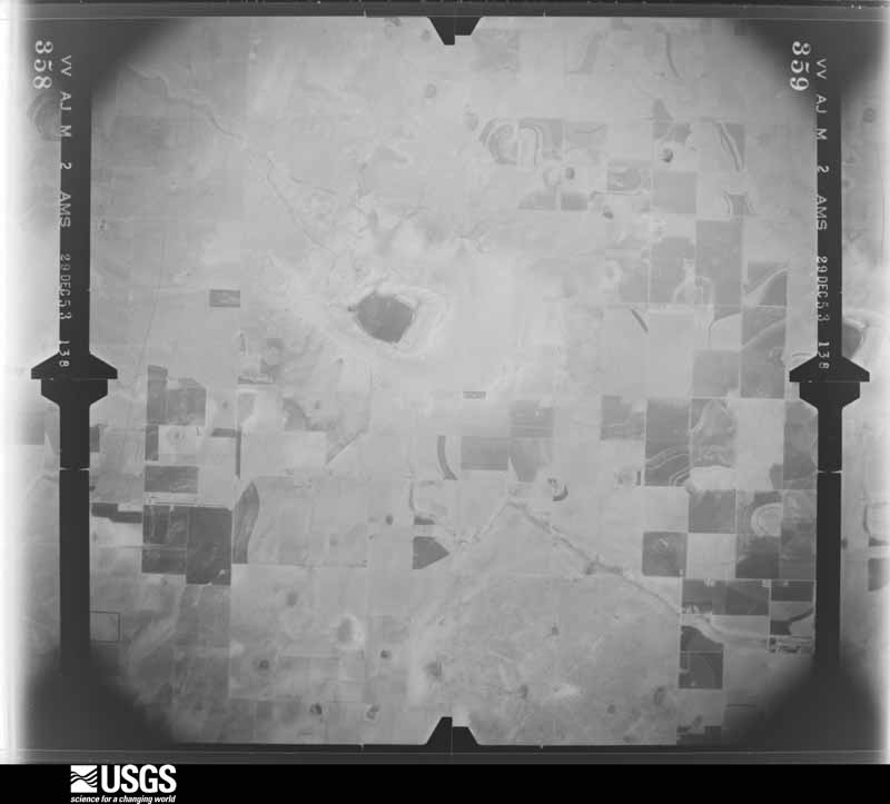
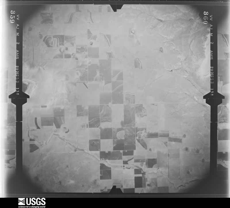
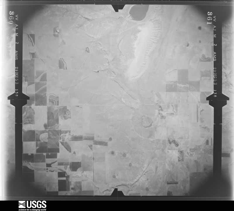
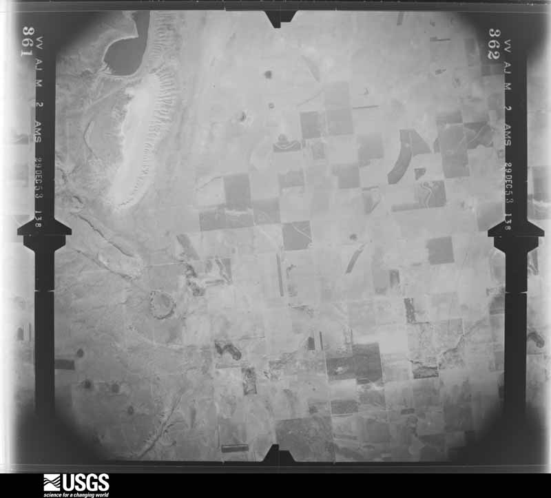
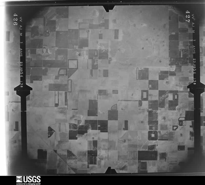
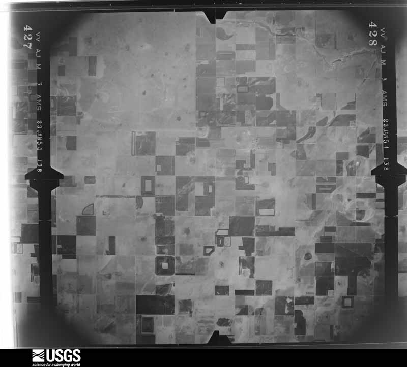
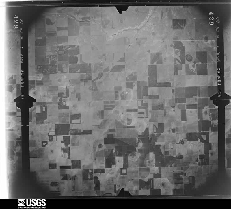
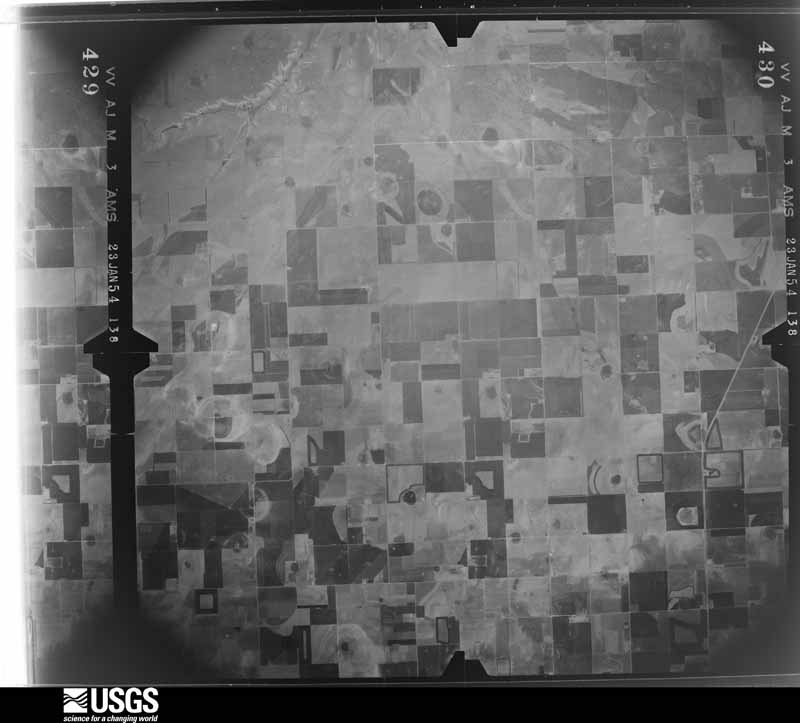
The county from the air
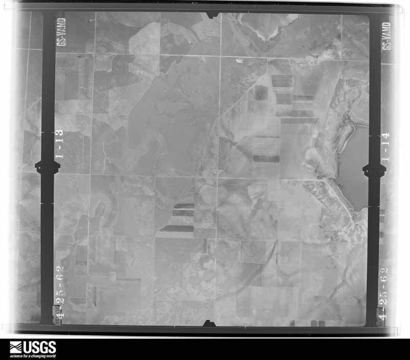
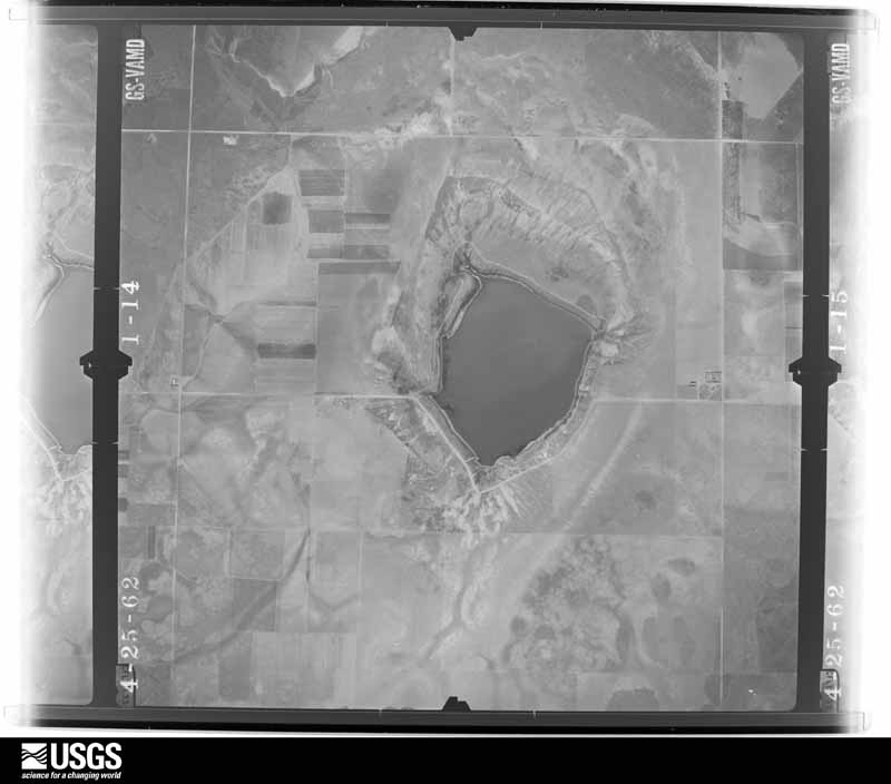
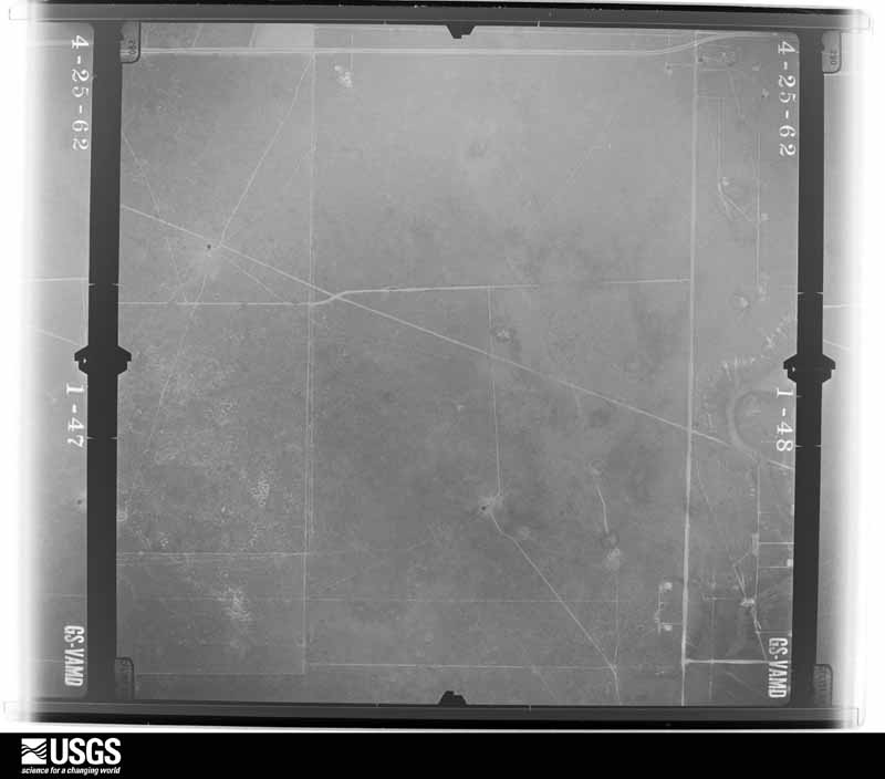
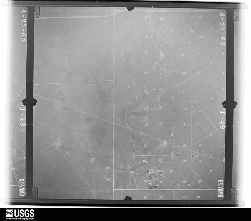
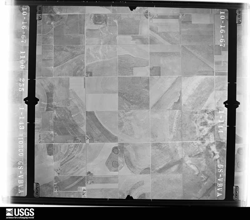
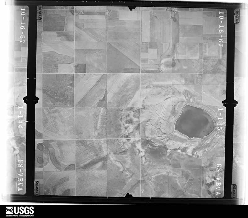
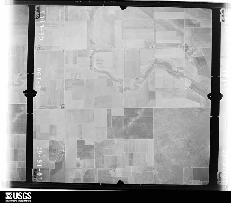
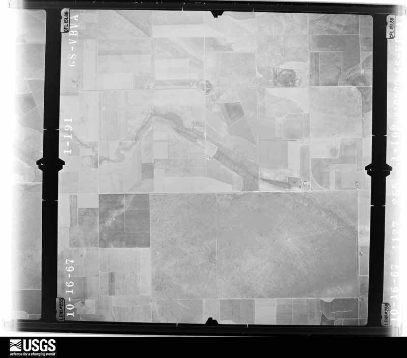
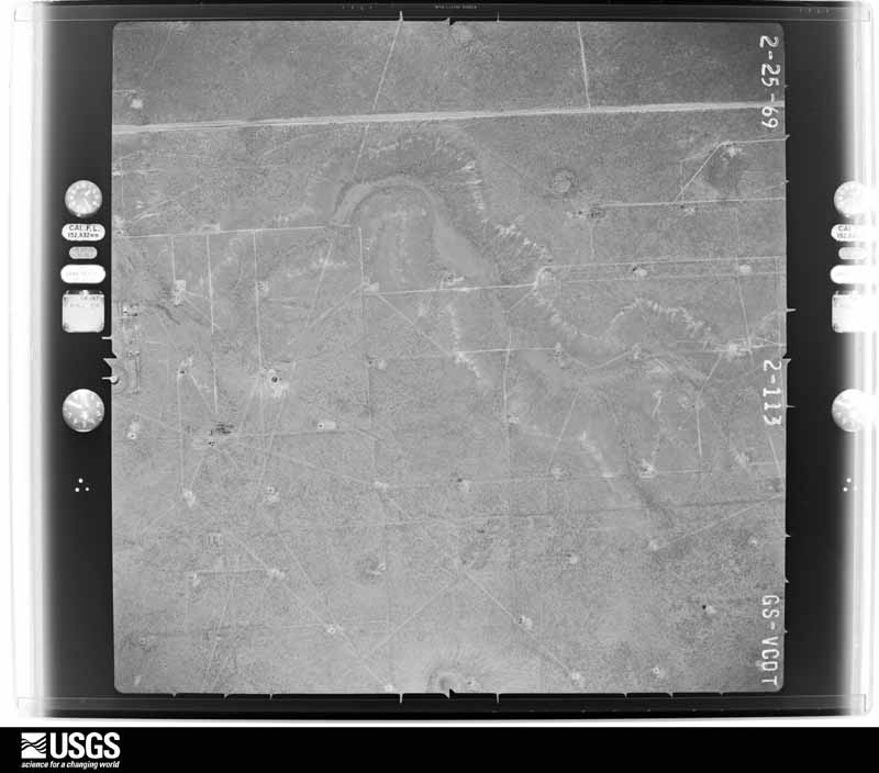
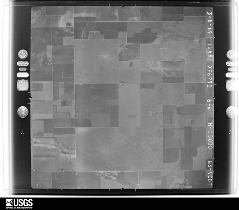
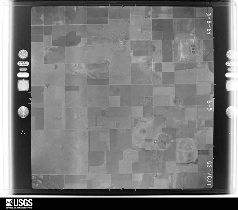
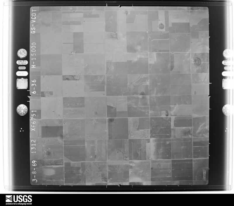
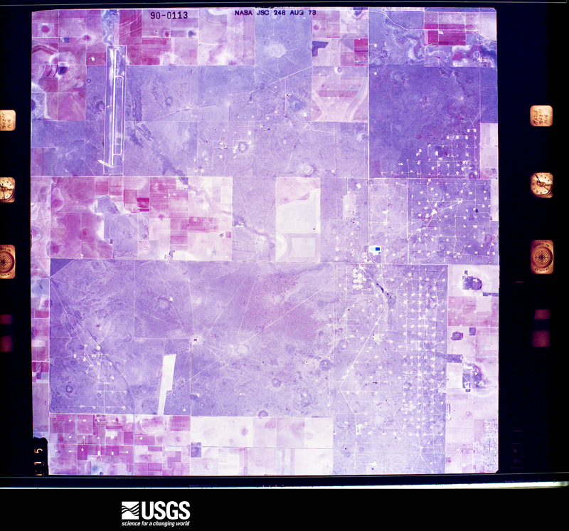
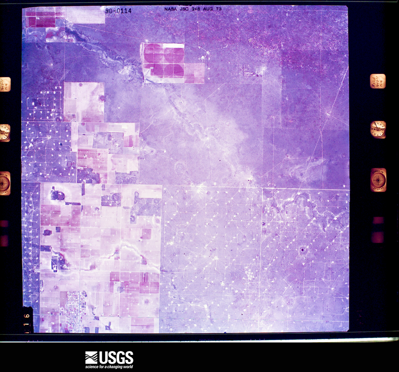
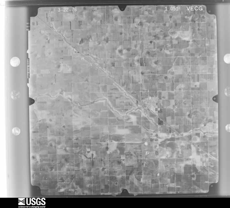
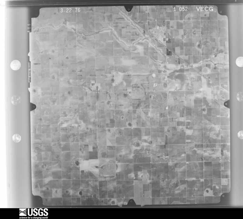
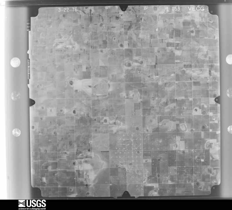
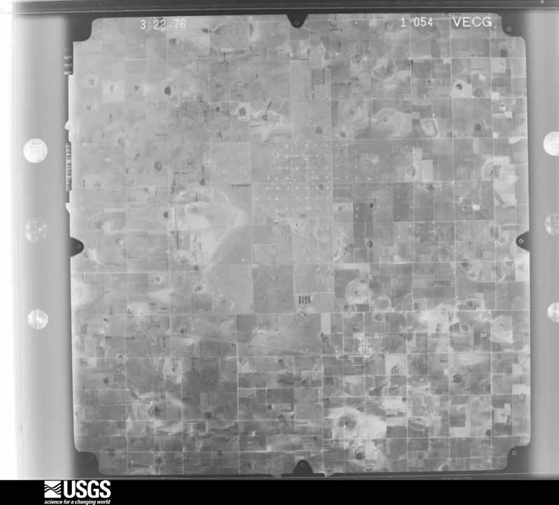
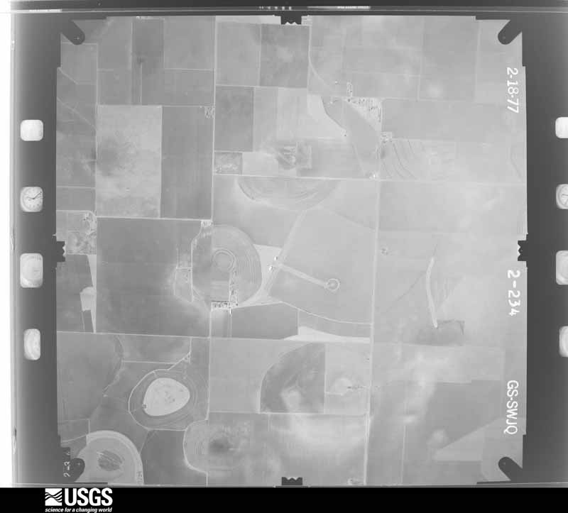
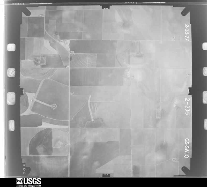
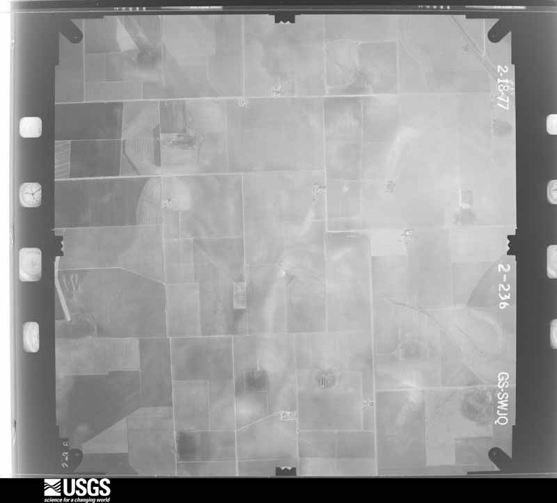
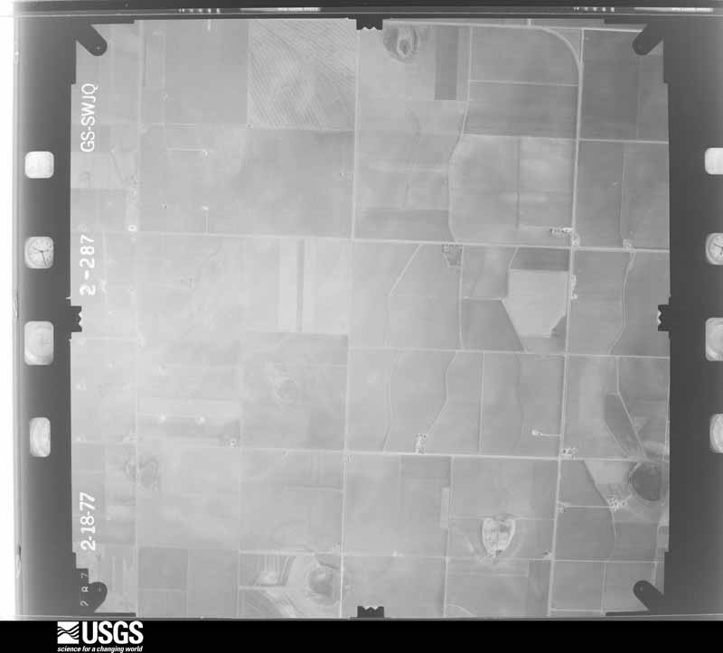
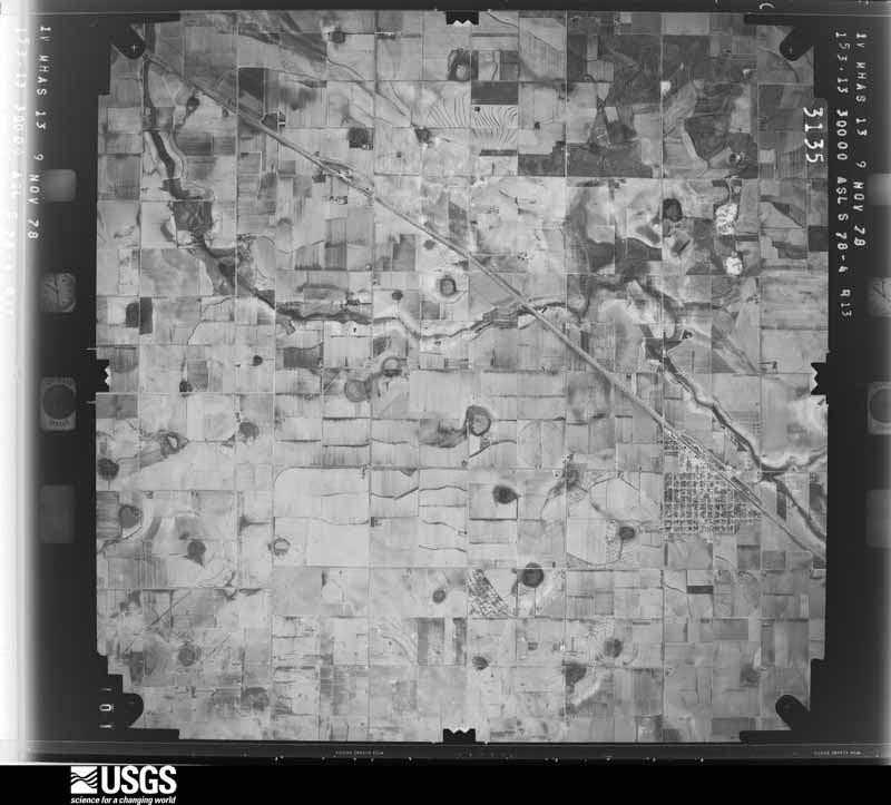
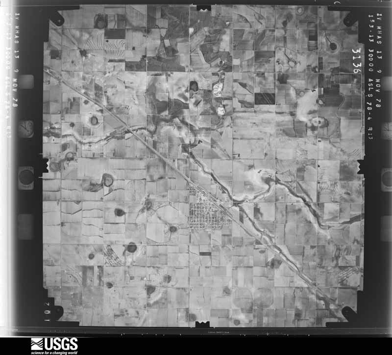
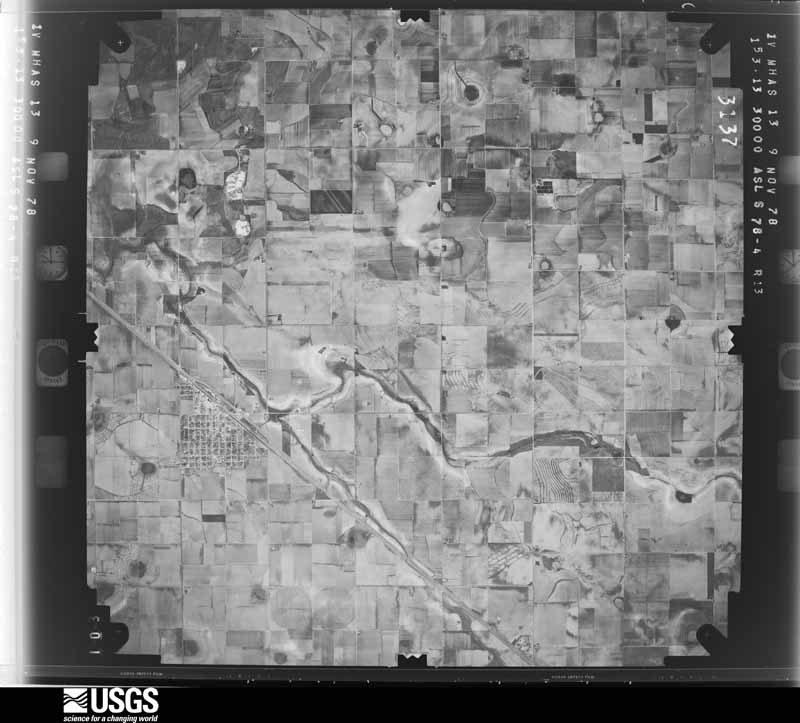
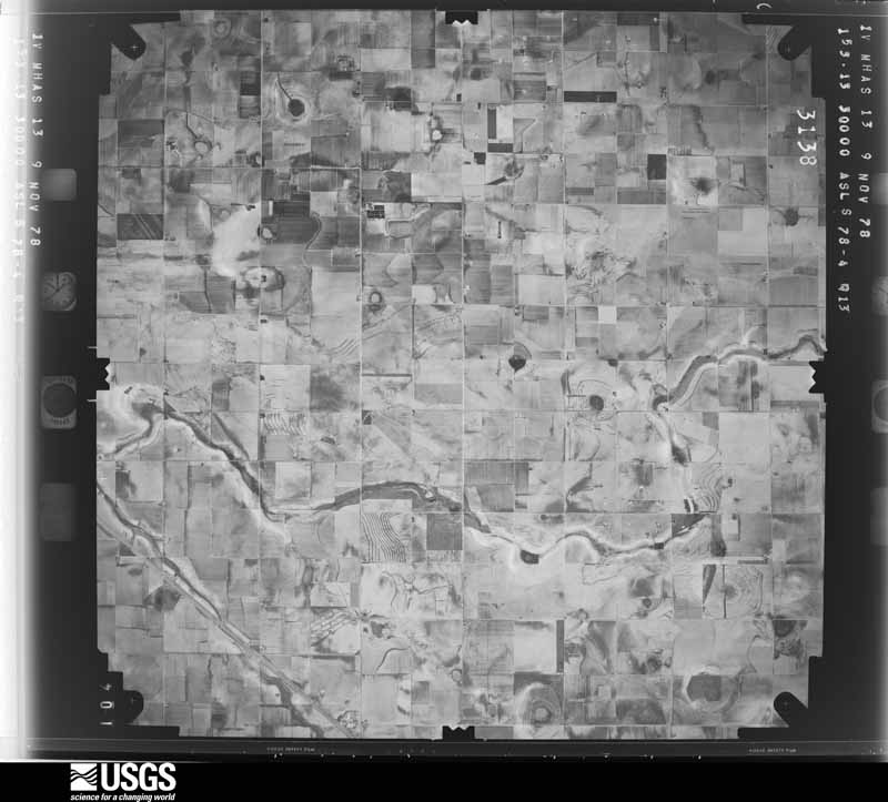
43 shownFlown by the U.S. Geological Survey between 1937 and 1989, the Aerial Photo Single Frames collection is the definitive mid-century view of the land: fields, roads and rivers as the camera saw them. The Survey holds 1,502 frames inside the rectangle that bounds this county; the 43 frames below were taken over the county itself, chosen across the decades of flights (at most four a year from that rectangle), so one flight cannot crowd out the rest. The full set is free to browse and download at EarthExplorer under the dataset Aerial Photo Single Frames.









Weather records
8 stationsThe thermometers that kept this county's weather, as the federal records hold them. The extremes below are measured values from those records, not estimates.
- LEVELLAND 1926 to 2026, hottest 46.1 C, coldest -26.7 C
- YELLOW LAKE SCS #61 1941 to 1942
- PETTIT 4 NE 1948 to 1951
- ROPESVILLE 5.8 NNW 2008 to 2026
- ROUNDUP 0.4 SW 2008 to 2025
- ANTON 5.3 SSE 2010 to 2017
- ANTON 5.4 SE 2015 to 2017
- ROPESVILLE 6NNW 2023 to 2026
The 1950 census, district by district
23 districtsWho lived here in 1950, one enumeration district at a time, as the Census Bureau described each district. Each row opens its official National Archives result, with Population Schedules and ED Maps available there.
- 110-1Levelland town, comprising parts of Commissioner's Precincts 1, 2, 3 and 4: Levelland town - That part in Commissioner's Precinct 1 Bounded by Precinct line; Town limits; Town limits; Ave. B
- 110-2Levelland town - That part in Commissioner's Precinct 1 Bounded by Precinct line; Ave. B; Town limits; Precinct line
- 110-3Levelland town - That part in Commissioner's Precinct 2 Bounded by Precinct line; Precinct line; Town limits; Ave. L
- 110-4Levelland town - That part in Commissioner's Precinct 2 Bounded by Precinct line; Ave. L; Town limits; West Ave.
- 110-5Levelland town - That part in Commissioner's Precinct 2 Bounded by Town limits, Sundown Rd.; West Ave.; Town limits; Town limits
- 110-6Levelland town - That part in Commissioner's Precinct 3 Bounded by Town limits; N. Ave. H, Precinct line; Precinct line; Ave. L, South Plains and Santa Fe Railway, West Ave.
- 110-7Levelland town - That part in Commissioner's Precinct 3 Bounded by Town limits, West Ave., South Plains and Santa Fe Railway; Ave. "L"; Precinct line, Sundown Rd.; Town limits
- 110-8Levelland town - That part in Commissioner's Precinct 4 Bounded by South Plains and Santa Fe Railway, East Ave., Town limits; Town limits; Precinct line; Ave. "B"
- 110-9Levelland town - That part in Commissioner's Precinct 4 Bounded by Town limits; East Ave., South Plains and Santa Fe Railway, Ave. B; Precinct line; Precinct line, N. Ave. H
- 110-10Commissioner's Precinct 1, outside Levelland town: Ropesville city
- 110-11AN/A
- 110-11BCommissioner's Precinct 1 - That part south of Unnamed rd. and Panhandle and Santa Fe Railway, west of Unnamed rd. and east of Locketville - Arnett - Opdyke Rd., outside Ropesville city
- 110-12Commissioner's Precinct 1 - That part west of Opdyke - Arnett - Locketville Rd. outside Levelland town (Remainder of Commissioner's Precinct 1 is in Levelland town)
- 110-13BSundown city - That part south of Unnamed rd.
- 110-13ASundown city: Sundown city - That part north of Unnamed rd.
- 110-14Commissioner's Precinct 2 - That part east and south of Levelland - Sundown Rd. extending south to county line outside Sundown city and Levelland town
- 110-15Commissioner's Precinct 2 - That part north and west of Levelland - Sundown Rd. extending south to county line outside Sundown city and Levelland town (Remainder of Commissioner's Precinct 2 is in Levelland town)
- 110-16BN/A
- 110-16AN/A
- 110-17Commissioner's Precinct 3 - That part west of Pep - Pettit Rd. extending southward to State Hwy. 290 and north of State Hwy. 290 (Remainder of Commissioner's Precinct 3 is in Levelland town)
- 110-18Commissioner's Precinct 4, outside Levelland town: Anton city
- 110-19Commissioner's Precinct 4 - That part southwest of U.S. Hwy. 84, west and north of Anton - Whitharral Rd., and west of State Hwy. 51, outside Anton city
- 110-20Commissioner's Precinct 4 - That part northeast of U.S. Hwy. 84, east and south of Anton - Whitharral Rd. and east of State Hwy 51, outside Anton city and Levelland town (Remainder of Commissioner's Precinct 4 is in Levelland town)
Wildfire, 2006 to 2020
77 firesEvery wildfire the federal occurrence database records inside this county: 77 of them, burning about 29,349 acres. 5 started naturally and 1 was recorded as arson. Each settlement page carries the fires within five miles of it.
| Reported cause | Fires |
|---|---|
| Missing data/not specified/undetermined | 28 |
| Equipment and vehicle use | 16 |
| Power generation/transmission/distribution | 10 |
| Debris and open burning | 8 |
| Smoking | 5 |
| Natural | 5 |
| Other causes | 3 |
| Railroad operations and maintenance | 1 |
| Arson/incendiarism | 1 |
The five largest, by the area the report gives. None of them was recorded as arson.
| Date | Cause | Size | Reported by | Name on the report |
|---|---|---|---|---|
| 28 February 2017 | Equipment and vehicle use | 9,299 acres | Texas A & M Forest Service | 303 |
| 28 April 2011 | Missing data/not specified/undetermined | 5,000 acres | Texas A & M Forest Service | OLYMPIA FIRE |
| 5 March 2009 | Power generation/transmission/distribution | 3,500 acres | Texas A & M Forest Service | 2009-23 |
| 1 January 2006 | Missing data/not specified/undetermined | 3,200 acres | Texas A & M Forest Service | 3200 FM 303 |
| 30 December 2010 | Power generation/transmission/distribution | 1,920 acres | Texas A & M Forest Service | WEST HOUSTON-TRANSPORT FIRE |
| 15 April 2006 | Missing data/not specified/undetermined | 1,300 acres | Texas A & M Forest Service | GUSHER |
| 16 January 2012 | Power generation/transmission/distribution | 681 acres | Texas A & M Forest Service | OXY OFFICE FIRE |
| 20 April 2011 | Power generation/transmission/distribution | 640 acres | Texas A & M Forest Service | SAGEBRUSH |
Every settlement page carries the fires within five miles of it - see the settlement index below.
Storms, 1955 to 2025
60 of 640 shownThe NOAA Storm Events Database holds 640 reports for this county, causing no deaths, 27 injuries and about $127,701,720 in recorded property damage. Each settlement page carries the reports that name it.
| Kind of event | Reports |
|---|---|
| Hail | 313 |
| Thunderstorm Wind | 190 |
| Tornado | 76 |
| Flash Flood | 29 |
| Flood | 17 |
| Heavy Rain | 8 |
| Lightning | 3 |
| Funnel Cloud | 3 |
| Dust Devil | 1 |
The most serious of them, by death, then injury, then recorded damage. The accounts are quoted exactly as the forecast office filed them.
| When | Event | Place named | Harm | What the report says |
|---|---|---|---|---|
| May 2024 | Thunderstorm Wind | Levelland | 13 hurt, $35,000,000 | An NWS storm survey team observed damage to utility poles, trees, and center pivots in and around Levelland. Damage escalated in both coverage and intensity east of US Highway 385 with a concentrated area of damage noted in and around Kauffman Park. Here, winds of 90 mph to 120 mph caused partial failures to some roofs and completely destroyed several wooden outbuildings. Many homes and vehicles|suffered broken windows with roughly one dozen trees uprooted. One home lost roughly 30 percent of its roof and insulation while a wooden framed workshop in its backyard was completely destroyed and|blown two homes away. Numerous wooden and metal fences were also heavily damaged or destroyed. The Penny Newman cotton gin on the east side of Levelland suffered total destruction from winds estimated around 110 mph. |
| April 1970 | Tornado (F4) | not stated | 4 hurt, $25,000,000 | no account filed |
| April 1957 | Tornado (F4) | not stated | 4 hurt, $2,500,000 | no account filed |
| June 2025 | Tornado (EF1) | Smyer | 2 hurt | An intense cyclic supercell thunderstorm produced a total of eight known tornadoes over portions of Cochran, Hockley, and Lubbock Counties. This was the sixth of the tornadoes. This tornado developed approximately three miles northeast of Smyer damaging or destroying multiple manufactured homes as it moved eastward before dissipating along the Hockley/Lubbock County line. At least two manufactured homes were rolled off their foundations and heavily damaged causing two injuries. |
| June 2017 | Hail | Anton | 1 hurt, $3,000,000 | This is the continuation path of the devastating supercell that moved slowly southeast along U.S. Highway 84 from Lamb County. Wind-driven hail as large as baseballs shattered home windows, destroyed siding, punctured roofs, heavily damaged vehicles, wiped out crops, and stripped trees across far northeast Hockley County. The mayor of Anton described the hail damage as the worst he had ever seen in decades of living on the Texas South Plains and declared a state of disaster. The American Red Cross said 100% of the roughly 400 homes in Anton sustained serious damage, with each home requiring on average $6,000 of repairs. One resident of Anton was bruised by the large hail and cut by broken glass as he attempted to cover up shattered windows during the storm. About 8,000 acres of crops in extreme northeast Hockley County were a total loss from the hail, torrential rainfall and flooding that ensued. |
| July 2017 | Thunderstorm Wind | Levelland | 1 hurt, $1,000,000 | A significant downburst with winds estimated as high as 110 mph struck the northern half of the city of Levelland causing widespread damage to buildings, trees, utility poles, and even rolling two cars from the road. An NWS damage survey team determined the most intense winds were focused about 2.5 miles east of downtown Levelland. It was in this area that a pole barn's metal support beams were ripped from their anchors and a car along State Highway 114 was blown off the road and flipped over. The driver of the car was shaken, but not injured. Damage elsewhere was consistent with winds of 70 to 90 mph and was comprised of peeled back roofs on some buildings and mobile homes, some street signs bent flat to the ground, many large trees snapped at their base, and even a trampoline wrapped around a power pole. Three industrial buildings sustained substantial damage. Sections of streets were so cluttered with structural debris that front-end loaders were required to clear a safe path for travel. One man was injured as the awning he was grilling under collapsed and dragged him a short distance. Approximately 40 power poles were damaged leading to some residents being without power for 11 hours. |
| June 2025 | Lightning | Anton | 1 hurt | An emergency management official for Hockley County reported an injury to a motorist in Anton on US Highway 84 due to a lightning strike. |
| June 1970 | Tornado | not stated | 1 hurt | no account filed |
| April 1970 | Tornado (F4) | not stated | $25,000,000 | no account filed |
| May 1999 | Hail | Levelland | $20,000,000 | Golfball- to baseball-size hail fell across Levelland, and caused millions of dollars in damages to roofs, vehicles, and windows all across the city. This same storm would later go on to cause damage in Wolfforth and far southwest Lubbock. |
| June 2014 | Hail | Sundown | $10,000,000 | A left-moving supercell produced a swath of large hail generally from near Sundown northeast to Levelland. Trained spotters estimated the hail ranged in size from ping pong balls to as large as tennis balls. The worst hail damage was noted in Levelland where many vehicles suffered cracked or shattered windows, particularly at the Covenant hospital. Several homes in Levelland also sustained varying degrees of roof damage including some broken windows. |
| March 2019 | Tornado (EF1) | Anton | $500,000 | A fast-moving tornado developed within a line of thunderstorms and moved north-northeast at 40 to 45 mph. Based on the NWS storm survey and radar data, the total track was determined to be 3.4 miles from extreme northeast Hockley County into far southeast Lamb County (the tornado's length in Hockley County was about 1.8 miles). This tornado caused EF1 damage to a well-built home located about one mile east-southeast of Anton and destroyed a large sheet metal building on the same property. In addition to downing large tree limbs, six power poles were snapped and two large center pivots were heavily damaged. Data from the Lubbock WSR-88D radar confirmed a tornadic debris signature that extended to just over 5000 feet at times. The owner of the house was inside at the time the tornado struck and was not injured, but moments before she had walked outside to see why her satellite TV signal deteriorated. The tornado caused sufficient damage to deem the house a complete loss by her insurance company. Preliminary damage estimates for all structures, personal property, utility poles, and the large center pivots were approximately $500,000. |
| April 2012 | Thunderstorm Wind | Levelland Muni Arpt | $500,000 | Fences were blown down at FM 1585 and FM 3261. The blown down fences allowed between 50 and 60 head of cattle to become loose and block a roadway. |
| May 2006 | Thunderstorm Wind | Anton | $400,000 | A complex of severe thunderstorms resulted in a locally intense swath of damaging winds near Anton. Damage was confined to a three mile radius in and around the city, but was fairly widespread within the city limits. Several trees, utility poles, and structures sustained damaged. Numerous roofs sustained at least minor damage, with a few peeled back or completely torn off. Several 1,000 pound "round" hay bales were rolled across Business 84 and over the adjacent railroad tracks. Local officials reported that the railroad tracks were obscured by debris at multiple locations through the city. Many highway signs also were blown toward the east. A large storage shed collapsed as severe winds penetrated the structure, and a nearby chute to a grain bin silo was snapped from its concrete foundation. A grain trailer was toppled and a storage facility experienced roof and window damage on the east side of Anton. In addition, a center-pivot irrigation system was heavily damaged three miles southeast of Anton off of U.S. Highway 84. The West Texas Mesonet site located six miles south of Anton recorded a peak gust of 71 MPH at 18:00 CST. No injuries were reported. |
| June 2017 | Flash Flood | Anton | $250,000 | The Sheriff's Office reported that Anton was inaccessible due to flood waters up to three feet deep in locations. Several homes sustained flood damage from water inundation. |
| June 2007 | Thunderstorm Wind | Levelland | $250,000 | A severe thunderstorm produced a swath of damaging winds, accompanied by large hail, from the Levelland vicinity to near Ropesville. A meteorologist initially estimated winds gusting up to 60 mph west of Levelland along Texas Highway 114 at 20:23 CST. By 20:30 CST, the Texas Tech University West Texas Mesonet site south of Levelland recorded a peak gust of 74 mph. The winds downed numerous power lines and utility poles. A roof was blown off of an apartment complex in Levelland, where a storm chaser measured a peak gust of 63 mph. No injuries occurred, but the American Red Cross assisted several families that became homeless due to the damage at the Lone Star Town Homes. All four families, a total of seventeen people, required assistance. In addition, a local AM radio station sustained damage. A Texas Tech University West Texas Mesonet meteorologist later estimated winds up to 65 mph near Ropesville. |
| September 2007 | Thunderstorm Wind | Levelland | $250,000 | Local law enforcement officials and the public reported wind gusts to 60 mph across Hockley county. The swath of winds downed several power poles from west of Levelland along Texas Highway 114 to Whitharral. Additionally, a 300 pound diesel fuel tank also was blown over just east of the Hockley and Cochran county line along Texas Highway 114. |
| June 2002 | Hail | Levelland | $250,000 | The Hockley County Sheriff's office reported baseball size hail. Automobiles and the roofs of homes were damaged. |
| June 2002 | Hail | Levelland | $250,000 | Large hail broke car windshields, cracked skylights, broke windows, and damaged the roofs of homes. |
| August 2001 | Lightning | Levelland | $250,000 | Lightning struck a house and ignited a fire that consumed the entire structure. |
| May 1991 | Tornado (F3) | not stated | $250,000 | no account filed |
| June 2015 | Hail | Ropesville | $200,000 | An intense and slow-moving supercell thunderstorm created large hail ranging between ping pong balls and baseballs northeast of Ropesville along Highway 62. Dozens of vehicles stopped along the highway suffered broken windows and body damage. |
| September 2003 | Thunderstorm Wind | Sundown | $200,000 | Strong thunderstorm wind estimated at around 80 mph caused major damage to the roof of a petroleum plant. |
| May 2003 | Thunderstorm Wind | Levelland | $120,000 | Strong thunderstorm wind destroyed several center pivot irrigation systems. |
| July 2010 | Flood | Levelland | $100,000 | Heavy rainfall over portions of southern Hockley County, particularly during the evening hours of the 3rd and the very early morning hours of the 4th, resulted in flooding of many low-lying areas. Local officials reported that several unpaved rural roads retained upwards of a foot of water over their driving surfaces through the 6th. Also, flood waters additionally inundated a number of cotton crops. Local farmers, however, estimated that crop damages across the county were light. |
| June 2008 | Lightning | Anton | $100,000 | Around 21:30 CST, lightning struck a home near Anton and sparked a fire in the structure's attic. Within minutes the fire spread and despite the efforts of local firefighters, the home was destroyed. A family inside the home was able to escape without injury. |
| June 2007 | Hail | Levelland | $100,000 | A swath of large hail impacted Hockley County as a complex evolution of supercell mergers occurred over the county. Initial reports indicated large hail, including giant tennis ball size hail, near the city of Levelland. A majority of the reports indicated quarter to golf ball size hail between Levelland and Ropesville. The hail was briefly accompanied by severe thunderstorm winds estimated at 70 mph northwest of Ropesville. Windows and skylights were broken in parts of Levelland, and numerous vehicles received hail damage. |
| September 2006 | Thunderstorm Wind | Levelland | $100,000 | Law enforcement officials reported that severe thunderstorm winds destroyed a 20 x 40 foot horse barn east of Levelland. No injuries were reported. |
| June 2003 | Thunderstorm Wind | Whitharral | $100,000 | Several center pivot irrigation systems were destroyed and trees were uprooted. |
| May 2002 | Hail | Ropesville | $100,000 | Golfball to baseball size hail was reported by storm spotters. |
| April 2001 | Hail | Levelland | $100,000 | Golfball size hail was reported in town. |
| May 2001 | Hail | Levelland | $75,000 | Law enforcement officials reported golfball size hail. |
| May 2001 | Thunderstorm Wind | Smyer | $70,000 | Strong thunderstorm wind destroyed a mobile home. An NWS storm survey indicated that wind gusts associated with this damage were likely in the 80 to 100 mph range. |
| August 2013 | Thunderstorm Wind | Levelland | $60,000 | Local emergency management officials reported power poles blown down on the west side of Levelland as a thunderstorm moved through. A mobile home under development was also knocked down by strong winds nearby. |
| May 2008 | Thunderstorm Wind | Levelland | $60,000 | Damaging winds and blinding blowing dust associated with well-organized thunderstorm outflow spread northeastward over parts of Hockley County during the early evening of the 25th. Severe wind gusts up to 61 mph were initially recorded by the Texas Tech University West Texas Mesonet south of Levelland at 17:25 CST. By 17:55 CST, however, gusts at the same site had intensified to a peak speed of 69 mph. Similar wind speeds, up to 65 mph, were estimated by a Texas Tech University West Texas Mesonet meteorologist near Ropesville at 17:50 CST. More than thirty wood utility poles were broken by the winds along Texas Highway 114 just east of Levelland. |
| June 2014 | Hail | Sundown | $50,000 | Following hail damage from a left-moving supercell less than one hour prior, a second left split supercell tracked from Sundown northeast to Levelland and Anton accompanied by a hail swath ranging in size from 1.25 inches in diameter to 2 inches. The extent of additional hail damage is estimated to be less than the first supercell. |
| June 2013 | Tornado (EF2) | Sundown | $50,000 | A supercell thunderstorm spawned an EF-2 tornado in far southwest Hockley County resulting in damage to oil field equipment, outbuildings, power poles, and storage tanks. Although the parent storm moved very slowly east throughout the tornado's life, a strong rear flank downdraft and occluding mesocyclone caused the tornado to veer sharply northward early in its life. This tornado began about 4 miles west-northwest of Sundown and moved northward for just over 5 miles in length before ending about 4.2 miles southeast of Whiteface. Photos and video from a storm chaser captured the evolution of this tornado. The tornado began as a compact debris cloud that became weak and diffuse just minutes before a narrow, fully condensed tornado emerged within wrapping rain curtains. At this point, a satellite funnel was observed along the periphery of the tornado, but this funnel is not believed to have become tornadic. After being largely obscured in rain for nearly five minutes, the tornado re-emerged as a fully condensed cone shape just before crossing FM Road 1585 and finally dissipating north of the road. The end time of the tornado was approximated from NWS Lubbock radar data. A NWS storm survey discovered scattered damage throughout portions of the tornado's track - the most intense of which was rated EF-2 over the southern portion of its path. Specifically, in excess of one dozen power poles were snapped at their base and a free-standing metal tower at a well site was bent. In a surrounding field, a wide swath of mesquite trees with branches of 1 to 3 inches in diameter were sheared off. This damage suggested maximum wind speeds were likely around 115 mph. Farther north at the abandoned Oxy facility located on FM 1585 west of Sampson Post Road, a large portion of a metal roof was removed and a nearby metal building was shifted off its foundation. Also, a large tree on the property was uprooted. This portion of damage was rated EF-0. North of the Oxy facility, EF-0 damage was noted to two fiberglass tank batteries with the top of one completely removed. The NWS in Lubbock would like to thank Hockley County emergency management for assisting with this storm survey. |
| June 2007 | Thunderstorm Wind | Ropesville | $50,000 | A Texas Tech University West Texas Mesonet meteorologist reported severe thunderstorm winds up to 70 mph that accompanied large hail northwest of Ropesville. Local farmers reported that several center pivot irrigation systems were destroyed near Farm to Market Road 1585. |
| September 2006 | Flash Flood | Levelland | $50,000 | Widespread rains affected much of the South Plains region of west Texas during the Labor Day weekend, when elevated moisture streamed northeastward from the remnants of Hurricane "John" in the Eastern Pacific. A cold front also pushed south across the region, and provided for prolonged rains in a moist upglide regime. Storm total rainfall amounts through the weekend over Hockley County ranged from 6.75 inches at Anton, 8.00 inches at Whitharral, and 3.80 inches at Ropesville. Although most of the rainfall was light to moderate, runoff was aggravated by a swath of locally heavy rainfall that resulted in flash flooding over portions of central and northern Hockley County early on the 2nd. The Levelland & Hockley County News-Press reported that the Texas Department of Transportation closed numerous roadways across the northern half of the county during the early morning hours of the 2nd. Barricades were erected along stretches of U.S. Highway 385 south of Levelland due to flowing flood waters. In addition, portions of Texas Highway 114, and Farm to Market Roads 2130, 168, and 1490 were inundated by flood waters. Reports indicated that no motorists were threatened by the flooding, but several secondary roadways were washed out by flowing water. |
| May 2001 | Hail | Levelland | $50,000 | Law enforcement officials reported golfball size hail. |
| May 2001 | Hail | Ropesville | $50,000 | Hail larger than golfball size broke out windows. |
| May 2001 | Hail | Sundown | $50,000 | Golfball size hail was reported by the public. |
| June 1999 | Flash Flood | Countywide | $50,000 | Numerous roads were reported flooded across the county. In Levelland, three cars were flooded along with four homes and one store. Several county roads were washed out and crops were damaged. |
| June 1999 | Thunderstorm Wind | Ropesville | $50,000 | Strong wind snapped several power poles and toppled a tower. |
| May 2000 | Hail | Levelland | $50,000 | no account filed |
| May 1994 | Hail | Smyer | $50,000 | no account filed |
| June 1994 | Thunderstorm Wind | Levelland | $50,000 | no account filed |
| December 1993 | Thunderstorm Wind | Levelland | $50,000 | no account filed |
| August 2017 | Thunderstorm Wind | Levelland Muni Arpt | $42,000 | A series of downbursts damaged 19 utility poles along US Highway 385 and FM Road 1585 in southeast Hockley County. These winds inflicted minor damage to a mesonet belonging to the Texas Tech University West Texas Mesonet. |
| June 2003 | Thunderstorm Wind | Smyer | $40,000 | Strong thunderstorm wind destroyed a mobile home. |
| May 2001 | Thunderstorm Wind | Ropesville | $40,000 | Strong thunderstorm wind destroyed a center pivot irrigation system. An NWS storm survey indicated wind gusts associated with this damage were likely in the 70 to 90 mph range. |
| May 2001 | Hail | Ropesville | $35,000 | Law enforcement officials reported golfball size hail covering the ground. |
| April 2001 | Hail | Levelland | $30,000 | A storm chaser reported half dollar to golfball size hail on Highway 114. |
| May 2001 | Hail | Sundown | $30,000 | Law enforcement officials reported golfball size hail. |
| June 2013 | Hail | Sundown | $25,000 | A NWS employee and storm chaser observed hail of tennis ball size to just over three inches in diameter. The most destructive hailswath occurred from about five miles northwest of Sundown to four miles north-northeast of Sundown. Video indicated the very large hail fell for nearly six minutes at one location. Vehicles and buildings throughout the hailswath sustained various degrees of damage. |
| June 2007 | Hail | Levelland | $25,000 | A rapidly developing supercell produced tennis ball size hail along U.S. Highway 385 just north of Levelland. Some damage to vehicles was reported. |
| September 2003 | Thunderstorm Wind | Sundown | $25,000 | Strong thunderstorm wind blew down power lines and snapped power poles on Farm-to-Market Road 301 near town. A roof of a building at the golf course was damaged. |
| June 2002 | Hail | Roundup | $25,000 | The Hockley County Sheriff's office reported golfball size hail. |
| April 2001 | Hail | Lockettville | $25,000 | Golfball size hail was reported by law enforcement officials on Highway 385. |
| September 1987 | Tornado (F1) | not stated | $25,000 | no account filed |
Mines and quarries
1 recordedThe Survey's mineral resources record lists 1 working inside this county. It still produces. Each settlement page carries the workings within five miles of it.
| Commodity | Workings |
|---|---|
| Sulfur | 1 |
The least common of them first, because a county's hundredth gravel pit says nothing its first ten did not.
| Where | Site | Commodity | Status | Recorded |
|---|---|---|---|---|
| Slaughter Sulfur Plant | Sulfur | Producer |
Every populated place in the county
17Named settlements recorded in the Geographic Names Information System, each with the topographic sheets covering it. Villages, hamlets and abandoned places alike. Each is shown with the nearest named watercourse or landform and the survey quadrangle it falls on.
Provenance
- Topographic sheets. USGS Historical Topographic Map Collection, county index, measured from the bulk metadata.
- Fire insurance maps. Library of Congress Sanborn collection, faceted to this county.
- Photographs. Each place queried individually against the Library of Congress Prints and Photographs search.
- Wildfire. Short, Karen C. 2022. Spatial wildfire occurrence data for the United States, 1992-2020 [FPA_FOD_20221014]. 6th Edition. Fort Collins, CO: Forest Service Research Data Archive. https://doi.org/10.2737/RDS-2013-0009.6 Collected with United States Government funding and usable without additional permissions or fees.
- Mines and quarries. USGS Mineral Resources Data System (MRDS) https://mrdata.usgs.gov/mrds/ A work of the United States government, no copyright under 17 U.S.C. 105.
- Storms. NOAA National Centers for Environmental Information, Storm Events Database https://www.ncei.noaa.gov/stormevents/ A work of the United States government, no copyright under 17 U.S.C. 105. Narratives are quoted verbatim from the National Weather Service report and are not edited or summarised.