 Block
BlockSlide, Texas
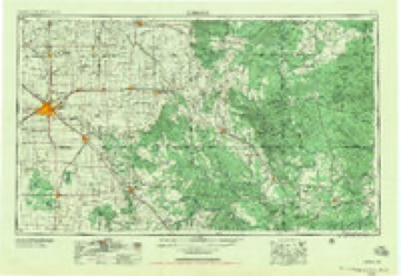
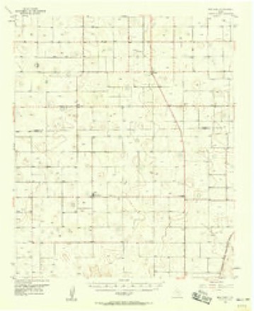
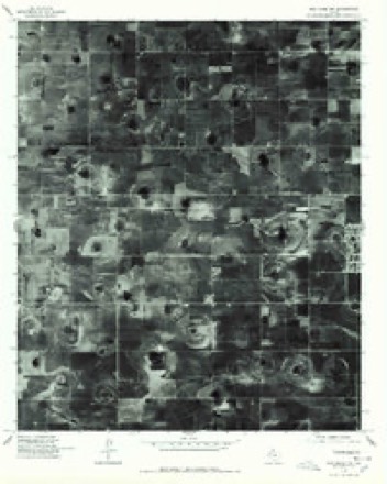
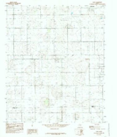
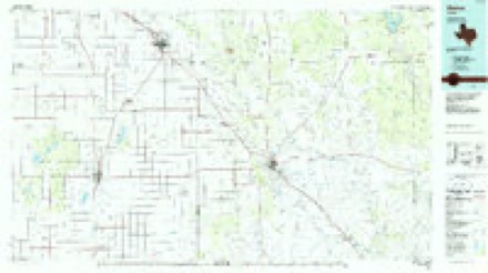
10 topographic sheets cover this place, the earliest surveyed in 1954 and the latest in 1986. It stands in the Lubbock census division. It lies in ZIP code area 79424. The Survey maps it on the Slide quadrangle.
Topographic sheets covering this place
5 surveys from 10 printed sheetsMatched by testing this settlement's coordinate against the published boundary of every sheet in the United States Geological Survey's historical collection. Each opens the scanned sheet at the Survey.
- 1954 USGS Lubbock quadrangle1:250000, 4 printings
- 1957 USGS New Home quadrangle1:62500
- 1976 USGS New Home NW quadrangle1:24000, 2 printings
- 1985 USGS Slide quadrangle1:24000
- 1986 USGS Slaton quadrangle1:100000, 2 printings
Fires near this place
17 since 2009Regional context, not property-specific evidence. The federal wildfire occurrence database lists 17 fires within 5 miles of Slide between 2009 and 2018, burning about 478 acres in total. 1 started naturally. 1 was recorded as arson. Distance is straight-line from the map coordinates, so a fire counted here may appear on a neighbouring settlement's page as well.
| Reported cause | Fires |
|---|---|
| Missing data/not specified/undetermined | 6 |
| Debris and open burning | 5 |
| Equipment and vehicle use | 3 |
| Natural | 1 |
| Arson/incendiarism | 1 |
| Misuse of fire by a minor | 1 |
The most recent of them, most recent first, with the day each was reported and the service that recorded it.
| Date | Cause | Size | Reported by | Name on the report |
|---|---|---|---|---|
| 6 September 2011 | Missing data/not specified/undetermined | under an acre | Texas A & M Forest Service | 12002 FRANKFORD AVENUE |
| 3 July 2009 | Debris and open burning | 1.0 acres | Texas A & M Forest Service | RODRIGUEZ |
| 15 July 2009 | Debris and open burning | 1.0 acres | Texas A & M Forest Service | GOODMAN |
| 28 June 2009 | Missing data/not specified/undetermined | 2.0 acres | Texas A & M Forest Service | CANLES |
| 14 June 2009 | Arson/incendiarism | 10 acres | Texas A & M Forest Service | 154TH ST |
| 28 May 2009 | Debris and open burning | 2.0 acres | Texas A & M Forest Service | TATE |
| 8 April 2018 | Equipment and vehicle use | 20 acres | Texas A & M Forest Service | QUAKER |
| 29 April 2009 | Missing data/not specified/undetermined | 300 acres | Texas A & M Forest Service | 41 |
Settlements close enough to share some of these fires:
Mines and quarries near this place
1 within 5 milesRegional context, not property-specific evidence. The federal mineral resources record lists 1 working within 5 miles of Slide: 1 producer. All of them still produce. What was taken out: Stone, Crushed/Broken. Distance is straight-line from the map coordinates, so a quarry counted here may appear on a neighbouring settlement's page as well.
| Where | Site | Commodity | Status | Recorded |
|---|---|---|---|---|
| Vardeman Pit | Stone, Crushed/Broken | Producer |
Storms near this place
23 since 1996Regional context, not property-specific evidence. The National Weather Service names Slide in 23 storm reports between 1996 and 2020: 11 hail, 6 thunderstorm wind, 2 lightning, 2 flood. The reports record 1 injury. Each account below is quoted exactly as the forecast office filed it, from the NOAA Storm Events Database, and each date opens the federal record of that event.
| When | Event | Place named | Harm | What the report says |
|---|---|---|---|---|
| May 2001 | Thunderstorm Wind | Slide | 1 hurt, $50,000 | Strong thunderstorm wind rolled and destroyed a couple mobile homes. A man was trapped and severely injured in one of the mobile homes. Strong wind also blew down trees and power lines. |
| May 2018 | Hail | Slide | $30,000,000 | A pair of nearly stationary supercell storms inflicted heavy tolls on thousands of residents across South Lubbock. The largest hail from tennis ball to just over baseball size occurred along a swath from near Quaker Avenue and 130th Street to Slide Avenue and 122nd Street. On both sides of this line and extending outwards for a few miles, hail from quarter size to golf ball size was common. With very little storm movement, large hail fell for up to 15 minutes at some locations causing even greater damage. In Lubbock's Vintage Township alone, it was estimated that every home would require a new roof. Preliminary insurance data indicated approximately 4000 auto claims were filed, with an estimated 1200 homes potentially in need of new roofs. Many area auto body shops were required to work overtime to meet the onslaught of customers. Fortunately, very little wind accompanied the hail which prevented even greater damage to the siding and windows of most homes and buildings. |
| April 2009 | Hail | Slide | $5,000,000 | A supercell thunderstorm developed over extreme southwestern Lubbock County and tracked east-northeastward. This storm produced a destructive hail swath over the southern portions of Lubbock during the 15:00 and 16:00 CST hours of the 16th. ||Large hail up the size of nickels was initially reported at 15:17 CST near the intersection of Slide Road and Woodrow Road south-southwest of the city. The storm intensified as it tracked over south Lubbock and hail up to the size of golfballs (occasionally larger) covered the ground along a large swath spanning from the southwestern subdivisions of the city northeastward to Ransom Canyon and Roosevelt.||Hail up to the size of golfballs reportedly damaged roofs on up to 800 homes and several automobiles along the storm's track. Hail damages city-wide, however, are estimated near $40 million. Most of the damages occurred across several affluent southwest Lubbock subdivisions where giant hail stones larger than two inches in diameter were observed, and three injuries occurred. |
| May 2019 | Thunderstorm Wind | Slide | $250,000 | A long swath of severe thunderstorm winds caused widespread damage in Lubbock County near Slide, through the city of Lubbock, into Idalou. The peak wind gust recorded was 63 mph by the Automated Surface Observing System (ASOS) at Lubbock Preston Smith International Airport. The NWS office on the south side of the city of Lubbock recorded a wind gust to 60 mph. Numerous trees and utility poles were reported to have been blown over or snapped. Additionally, a home under construction was destroyed by the destructive winds. A semi-trailer was blown over onto a car near the intersection of Farm to Market roads 41 and 1730 in southern Lubbock County. |
| August 2016 | Flood | Slide | $250,000 | no account filed |
| May 2011 | Lightning | Slide | $124,000 | no account filed |
| May 2019 | Flash Flood | Slide | $100,000 | Numerous reports of flooding were received throughout the city and county of Lubbock. Texas Department of Transportation closed off South Loop 289 near Avenue P in the city of Lubbock due to flooding. Several vehicles became stranded in flood waters throughout the south side of the city of Lubbock. |
| July 2015 | Thunderstorm Wind | Slide | $24,000 | A downburst knocked over eight utility poles along FM Road 1585 near Frankford Avenue. These winds continued about 3.5 miles farther east where wind gusts were estimated from 60 to 70 mph. |
| August 2016 | Lightning | Slide | $3,000 | A lightning strike damaged multiple computer servers at a NWS employee's home. The time of the strike was determined from Texas Tech University's lightning mapping array. |
| December 2012 | Thunderstorm Wind | Slide | $2,500 | A house at 3308 County Road 7540 (about 2.5 miles southwest of Vintage Township) had a small portion of its roof removed by downburst winds. Farther south along Woodrow Road, a few power lines were blown down. |
| May 1996 | Thunderstorm Wind | Slide | $500 | no account filed |
| May 2020 | Hail | Slide | - | A severe thunderstorm moved across Lubbock County. This thunderstorm produced severe hail on the southern side of the city of Lubbock. Numerous reports were received of hail up to golf ball size across the southern portion of Lubbock. Hail up to one and a half inches in diameter was reported by a trained weather spotter. No damage was reported. |
| June 2019 | Hail | Slide | - | Hail up to the size of golf balls were reported on the south side of the city of Lubbock. This hail was from one of several severe thunderstorms that developed off of the outflow of the initial thunderstorm in southwestern Lubbock County. |
| May 2019 | Funnel Cloud | Slide | - | Several credible reports were received of a funnel cloud moving across the southern portion of Lubbock County. |
| May 2019 | Flood | Slide | - | Several reports were received of flooding on roads in the southwestern portion of the city of Lubbock. |
| May 2019 | Hail | Slide | - | Hail up to golf ball size was reported near the intersection of 114th Street and Quaker Avenue in the city of Lubbock. This hail report was among the widespread swath of thunderstorm wind damage as the same time. |
| May 2007 | Hail | Slide | - | A slow moving thunderstorm produced a swath of large hail up to the size of golf balls as it drifted southward between Slide and Woodrow. The hail knocked small branches off of trees, but no damages were reported. |
| June 2002 | Hail | Slide | - | An off-duty NWS employee reported golfball size hail. |
| September 1999 | Hail | Slide | - | Quarter to golfball size hail damaged crops. |
| July 2005 | Hail | Slide | - | no account filed |
| August 2001 | Hail | Slide | - | no account filed |
| August 2001 | Thunderstorm Wind | Slide | - | no account filed |
| September 1999 | Hail | Slide | - | no account filed |
Nearest settlements
The eight closest, with where each one stands in the county. Distances are straight-line, computed from the Geographic Names Information System coordinates.
| Map | Place | Distance | Sheets |
|---|---|---|---|
| Woodrow | 5.1 miles | 10 | |
| Wolfforth | 7.6 miles | 9 | |
| Union | 8.3 miles | 10 | |
| Doud | 9.7 miles | 10 | |
| Burris | 11.0 miles | 11 | |
| West End Place | 11.2 miles | 10 | |
| Carlisle | 11.6 miles | 10 | |
| West Carlisle | 11.7 miles | 10 |
Provenance
This settlement is recorded in the Geographic Names Information System as feature 1380556. The sheet list is computed by point-in-boundary test against the United States Geological Survey's historical topographic inventory. Both are works of the United States government and carry no copyright under 17 U.S.C. 105.
Wildfire. Short, Karen C. 2022. Spatial wildfire occurrence data for the United States, 1992-2020 [FPA_FOD_20221014]. 6th Edition. Fort Collins, CO: Forest Service Research Data Archive. https://doi.org/10.2737/RDS-2013-0009.6 Collected with United States Government funding and usable without additional permissions or fees.
Mines and quarries. USGS Mineral Resources Data System (MRDS) https://mrdata.usgs.gov/mrds/ A work of the United States government, no copyright under 17 U.S.C. 105.
Storms. NOAA National Centers for Environmental Information, Storm Events Database https://www.ncei.noaa.gov/stormevents/ A work of the United States government, no copyright under 17 U.S.C. 105. Narratives are quoted verbatim from the National Weather Service report and are not edited or summarised.