 Block
Ashford, Wisconsin
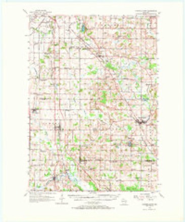
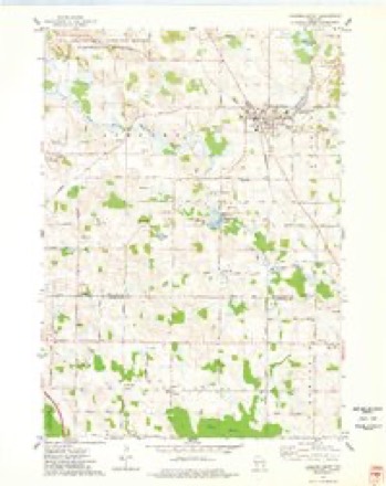
9 topographic sheets cover this place, the earliest surveyed in 1955 and the latest in 1980. It stands in Ashford town. It lies in ZIP code area 53010. The Survey maps it on the Campbellsport quadrangle.
Topographic sheets covering this place
5 surveys from 9 printed sheetsMatched by testing this settlement's coordinate against the published boundary of every sheet in the United States Geological Survey's historical collection. Each opens the scanned sheet at the Survey.
- 1955 USGS Campbellsport quadrangle1:62500, 2 printings
- 1957 USGS Madison quadrangle1:250000, 3 printings
- 1960 USGS Madison quadrangle1:250000, 2 printings
- 1974 USGS Campbellsport quadrangle1:24000
- 1980 USGS Fond Du Lac quadrangle1:100000



In the county-history sources
7,039 words on this townshipThe History of Fond Du Lac County, Wisconsin, published 1880 names this settlement in its chapter on Ashford Town. These are the passages that mention it, exactly as the scans read.
This town was first a constituent part of the town of Auburn in its organization, but was set off from it and separately organized in 1849, the first election being held in April of that year, at the house of William Boener, at which Robert F. Adams was elected Chairman, and George Thorn, Town Clerk.
Passage source: The History of Fond Du Lac County, Wisconsin, published 1880.
The first settlement in Ashford was made in the summer of 1846, by Henry Barnett, Josiah L. Perry, Charles Crownhart, and several others, who settled in the easterly part of the town, near the West Branch of the Milwaukee River, not far from where Crouchville was afterward located. On their arrival, they found not a human habitation within many miles, except the little beginning commenced by Mr. Crouch. They soon threw up log shanties, and commenced clearing land for crops for the ensuing year. They had many hardships to meet and
Passage source: The History of Fond Du Lac County, Wisconsin, published 1880.
The surface of Ashford is undulating, or, perhaps, it may with propriety be called hilly. The soil is uniformly strong and fertile, and much of it of a warm nature. The hills are underlaid with limestone,, and the soil is clay and loam, with sand, producing good wheat, oats, peas, and other grains, and excellent pasturage. The valleys are alluvial and very fertile ; grain of all kinds has a luxurious growth. These lowlands, when stocked-down, make excellent meadows. The town is well watered - the West Branch of the Milwaukee River running through it from northwest to southeast, receiving several tributaries upon both its sides. Springs and small brooks also abound.
Passage source: The History of Fond Du Lac County, Wisconsin, published 1880.
Machine-read from a century-old scan, so expect the errors a machine makes: misspelled names, dropped words, stray characters.
Read the whole chapter on Ashford Town - it names this place 34 more 34 times.
Fires near this place
17 since 2017Regional context, not property-specific evidence. The federal wildfire occurrence database lists 17 fires within 5 miles of Ashford between 2017 and 2020, burning about 39 acres in total. None started naturally. None was recorded as arson. Distance is straight-line from the map coordinates, so a fire counted here may appear on a neighbouring settlement's page as well.
| Reported cause | Fires |
|---|---|
| Missing data/not specified/undetermined | 12 |
| Railroad operations and maintenance | 2 |
| Smoking | 1 |
| Recreation and ceremony | 1 |
| Debris and open burning | 1 |
The most recent of them, most recent first, with the day each was reported and the service that recorded it.
| Date | Cause | Size | Reported by | Name on the report |
|---|---|---|---|---|
| 2 August 2019 | Debris and open burning | under an acre | Wisconsin Department of Natural Resources | 2019056 |
| 8 July 2018 | Missing data/not specified/undetermined | under an acre | Wisconsin Department of Natural Resources | 201859 |
| 15 July 2020 | Recreation and ceremony | under an acre | Wisconsin Department of Natural Resources | 2020046 |
| 30 May 2017 | Railroad operations and maintenance | under an acre | Wisconsin Department of Natural Resources | THERESA SITE 1 |
| 30 May 2017 | Railroad operations and maintenance | under an acre | Wisconsin Department of Natural Resources | THERESA SITE 2 |
| 3 May 2018 | Missing data/not specified/undetermined | under an acre | Wisconsin Department of Natural Resources | 201827 |
| 1 May 2018 | Missing data/not specified/undetermined | under an acre | Wisconsin Department of Natural Resources | 201835 |
| 1 May 2018 | Missing data/not specified/undetermined | under an acre | Wisconsin Department of Natural Resources | 201837 |
Settlements close enough to share some of these fires:
Mines and quarries near this place
1 within 5 milesRegional context, not property-specific evidence. The federal mineral resources record lists 1 working within 5 miles of Ashford: 1 past producer. None of them still produces. What was taken out: Sand and Gravel, Construction. Distance is straight-line from the map coordinates, so a quarry counted here may appear on a neighbouring settlement's page as well.
| Where | Site | Commodity | Status | Recorded |
|---|---|---|---|---|
| Byron Pit | Sand and Gravel, Construction | Past Producer |
Storms near this place
3 since 2006Regional context, not property-specific evidence. The National Weather Service names Ashford in 3 storm reports between 2006 and 2025: 3 thunderstorm wind. No death or injury is recorded in these reports. Each account below is quoted exactly as the forecast office filed it, from the NOAA Storm Events Database, and each date opens the federal record of that event.
| When | Event | Place named | Harm | What the report says |
|---|---|---|---|---|
| July 2006 | Thunderstorm Wind | Ashford | $5,000 | Trees and power-lines down. |
| May 2025 | Thunderstorm Wind | Ashford | $3,000 | Multiple trees and branches down outside of Campbellsport. |
| October 2006 | Thunderstorm Wind | Ashford | - | Powerful thunderstorm winds knocked down large trees. |
Nearest settlements
The eight closest, with where each one stands in the county. Distances are straight-line, computed from the Geographic Names Information System coordinates.
| Map | Place | Distance | Sheets |
|---|---|---|---|
| Saint Kilian | 3.1 miles | 9 | |
| Elmore | 3.7 miles | 9 | |
| Campbellsport | 4.9 miles | 9 | |
| Byron | 6.2 miles | 9 | |
| South Byron | 7.1 miles | 9 | |
| Eden | 7.4 miles | 9 | |
| Waucousta | 7.4 miles | 9 | |
| Marblehead | 8.1 miles | 9 |
Provenance
This settlement is recorded in the Geographic Names Information System as feature 1560977. The sheet list is computed by point-in-boundary test against the United States Geological Survey's historical topographic inventory. Both are works of the United States government and carry no copyright under 17 U.S.C. 105.
Wildfire. Short, Karen C. 2022. Spatial wildfire occurrence data for the United States, 1992-2020 [FPA_FOD_20221014]. 6th Edition. Fort Collins, CO: Forest Service Research Data Archive. https://doi.org/10.2737/RDS-2013-0009.6 Collected with United States Government funding and usable without additional permissions or fees.
Mines and quarries. USGS Mineral Resources Data System (MRDS) https://mrdata.usgs.gov/mrds/ A work of the United States government, no copyright under 17 U.S.C. 105.
Storms. NOAA National Centers for Environmental Information, Storm Events Database https://www.ncei.noaa.gov/stormevents/ A work of the United States government, no copyright under 17 U.S.C. 105. Narratives are quoted verbatim from the National Weather Service report and are not edited or summarised.