 Block
Exeter, Wisconsin
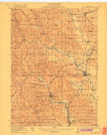
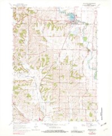
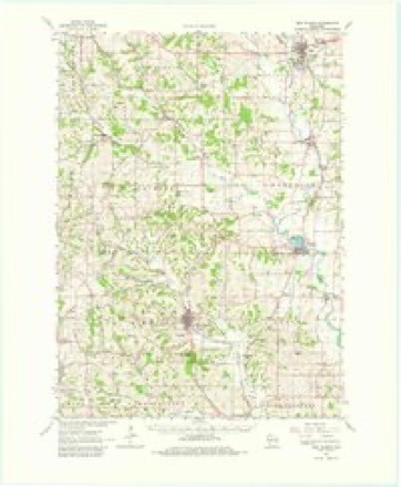
14 topographic sheets cover this place, the earliest surveyed in 1923 and the latest in 1981. It stands in Exeter town. It lies in ZIP code area 53502. The Survey maps it on the Belleville quadrangle.
Topographic sheets covering this place
8 surveys from 14 printed sheetsMatched by testing this settlement's coordinate against the published boundary of every sheet in the United States Geological Survey's historical collection. Each opens the scanned sheet at the Survey.
- 1923 USGS New Glarus quadrangle1:62500, 2 printings
- 1954 USGS Rockford quadrangle1:250000
- 1955 USGS Rockford quadrangle1:250000
- 1958 USGS Rockford quadrangle1:250000, 4 printings
- 1962 USGS Belleville quadrangle1:24000, 2 printings
- 1962 USGS New Glarus quadrangle1:62500, 2 printings
- 1963 USGS Rockford quadrangle1:250000
- 1981 USGS Monroe quadrangle1:100000





In the county-history sources
24,195 words on this townshipHistory of Green County, Wisconsin, published 1877 names this settlement in its chapter on Exeter Town. These are the passages that mention it, exactly as the scans read.
In the beginning were the lead mines. The Sauk, or Sugar River, diggings were situated a little over a mile southwest of the present village of Exeter. The squaws were the first miners, but they had neither the knowledge nor the tools to make their labor very profitable. With such instruments as they could make, they picked out the surface or float mineral ; and when their excavations became too deep to step into, they threw in a dead tree on which they climbed up and down. When a vein ran under the rock, they dug it out as far as they could reach, built a fire in the hole thus made, and, when the rock was heated, cracked it by pouring on water.
Passage source: History of Green County, Wisconsin, published 1877.
The first white man who saw these diggings was a miner named Burke, who happened to pass them after losing his way on a journey across the territory. Led by his account of what he had seen, McNut and Boner, two traders, went to the diggings in 1S28, and built a trading house there. They were undoubtedly the first white men to settle in the county. In August of the same year, Win. Devise, who had already spent some time in prospecting at the diggings, went there to live. Almost always after this there were transient miners at the diggings. While Mr. Devise was preparing to go to Exeter, Edward D. Beouchard, a Frenchman, began to mine there. In the fall, Mr. Devise was followed by his employees, Wm. Wallace and wife, and J. R. Blackmore. It has been said that soon after the arrival of the Wallace family at Exeter, Louisa Wallace, afterwards Mrs. Chas. Thomas, was born there, and that she was the first white person born in Green County. Mrs. Thomas thinks she ought to have had the honor ascribed to her, for Exeter was the home of the family at the time of her birth, but she was born in Galena, August 7, 1830. Mr. Devise, who is now living at Bellville, is a Virginian. At the time under consideration, he and Mr. James Hawthorne were partners. Their acquaintance began at Vandalia, from which place they journeyed together in 1S27 to Shullsburg, where they entered into partnership, and where, in about a year, Mr. Devise left Mr. Hawthorne to carry on their mining enterprises there alone, while he went to Blue Mounds. Soon after this he went to Exeter, and then Mr. Hawthorne went to Blue Mounds.
Passage source: History of Green County, Wisconsin, published 1877.
After their arrival at the diggings, McNut and Boner, by means of whisky and a few worthless baubles, possessed themselves of ail the lead raised by the Indians. In August, 1S2S, when there happened to be no white person there except the traders and Van Sickles, their Dutch interpreter, McNut killed Boner. Whether the deed was prompted by a desire to possess alone the treasure filched from the Indians, or was the unforeseen result of a drunken quarrel, cannot now be ascertained. Van Sickles hastened to Blue Mounds, the nearest settlement, with the news. McNut, probably supposing Van Sickles had gone somewhere else, also went to Blue Mounds, and was lying there drunk when Van Sickles arrived. The next day, miners, one of whom was Robert Kirkendoll, now of Cadiz, buried Boner near the spot where he was killed ; but the plow long ago removed all traces of this first grave. McNut was arrested and sent to Prairie du Chien, where sixteen other men wTere awaiting trial for murder. Since Van Sickles, the only witness against him, was a notorious liar, McNut was acquitted; and immediately after his release he left the country. Van Sickles was very much dissatisfied with the trial, not because he laid any claim to veracity, but because one of the men called on to swear to his bad character was Jacob Hunter, whom Van Sickles declared to be a greater liar than himself. After NcNut's arrest, Devise and Beouchard obtained control of the mines. In the spring of 1829, they built a log smelting furnace near the old trading house, and broke the first land broken in the county. The first crop was a crop of turnips raised in 1S29. It appears from Prof. Salisbury's biographical sketch of Mr. Devise, in volume 6 of the Wisconsin Historical Collections, that in the fail of 1829 Mr. Devise went to Fulton and Peoria Counties, Illinois, and brought up a drove of hogs, and that in the summer of 1S30 he broke sixteen
Passage source: History of Green County, Wisconsin, published 1877.
Machine-read from a century-old scan, so expect the errors a machine makes: misspelled names, dropped words, stray characters.
Read the whole chapter on Exeter Town - it names this place 66 more 66 times.
Fires near this place
8 since 2014Regional context, not property-specific evidence. The federal wildfire occurrence database lists 8 fires within 5 miles of Exeter between 2014 and 2020, burning about 72 acres in total. None started naturally. None was recorded as arson. Distance is straight-line from the map coordinates, so a fire counted here may appear on a neighbouring settlement's page as well.
| Reported cause | Fires |
|---|---|
| Debris and open burning | 6 |
| Missing data/not specified/undetermined | 2 |
The most recent of them, most recent first, with the day each was reported and the service that recorded it.
| Date | Cause | Size | Reported by | Name on the report |
|---|---|---|---|---|
| 5 May 2019 | Debris and open burning | under an acre | Wisconsin Department of Natural Resources | 19198 |
| 29 May 2018 | Missing data/not specified/undetermined | under an acre | Wisconsin Department of Natural Resources | 201829 |
| 5 April 2018 | Debris and open burning | 2.0 acres | Wisconsin Department of Natural Resources | 3366 |
| 30 April 2018 | Debris and open burning | under an acre | Wisconsin Department of Natural Resources | 201826 |
| 30 April 2018 | Missing data/not specified/undetermined | 1.0 acres | Wisconsin Department of Natural Resources | 201825 |
| 23 April 2014 | Debris and open burning | 65 acres | Wisconsin Department of Natural Resources | DODGEVILLE CO-OP 8 |
| 1 April 2020 | Debris and open burning | 4.0 acres | Wisconsin Department of Natural Resources | 3661 |
| 28 October 2020 | Debris and open burning | under an acre | Wisconsin Department of Natural Resources | 3759 |
Settlements close enough to share some of these fires:
Mines and quarries near this place
3 within 5 milesRegional context, not property-specific evidence. The federal mineral resources record lists 3 workings within 5 miles of Exeter: 2 past producers, 1 unknown. None of them still produces. What was taken out: Stone, Crushed/Broken, Stone. Distance is straight-line from the map coordinates, so a quarry counted here may appear on a neighbouring settlement's page as well.
| Where | Site | Commodity | Status | Recorded |
|---|---|---|---|---|
| Chesebro Quarry | Stone | Unknown | ||
| Kauk Quarry | Stone, Crushed/Broken | Past Producer | ||
| Waelchli | Stone, Crushed/Broken | Past Producer |
Storms near this place
2 since 2023Regional context, not property-specific evidence. The National Weather Service names Exeter in 2 storm reports between 2023 and 2025: 1 tornado, 1 hail. No death or injury is recorded in these reports. Each account below is quoted exactly as the forecast office filed it, from the NOAA Storm Events Database, and each date opens the federal record of that event.
| When | Event | Place named | Harm | What the report says |
|---|---|---|---|---|
| September 2023 | Tornado (EFU) | Exeter | - | Tornado was documented via video by a local resident and a nearby storm chaser. By their accounts the tornado was on the ground about 10 seconds. Drone imagery by emergency management shows that the damage was only to a dried up corn field with no damage to structures or trees. |
| April 2025 | Hail | Exeter | - | no account filed |
Nearest settlements
The eight closest, with where each one stands in the county. Distances are straight-line, computed from the Geographic Names Information System coordinates.
| Map | Place | Distance | Sheets |
|---|---|---|---|
| Attica | 2.0 miles | 18 | |
| Dayton | 3.2 miles | 14 | |
| Ross Crossing | 3.8 miles | 14 | |
| Monticello | 4.8 miles | 15 | |
| Mineral Point (historical) | 5.4 miles | 17 | |
| Albany | 6.6 miles | 17 | |
| New Glarus | 6.7 miles | 13 | |
| Schultz | 7.8 miles | 15 |
Provenance
This settlement is recorded in the Geographic Names Information System as feature 2760450. The sheet list is computed by point-in-boundary test against the United States Geological Survey's historical topographic inventory. Both are works of the United States government and carry no copyright under 17 U.S.C. 105.
Wildfire. Short, Karen C. 2022. Spatial wildfire occurrence data for the United States, 1992-2020 [FPA_FOD_20221014]. 6th Edition. Fort Collins, CO: Forest Service Research Data Archive. https://doi.org/10.2737/RDS-2013-0009.6 Collected with United States Government funding and usable without additional permissions or fees.
Mines and quarries. USGS Mineral Resources Data System (MRDS) https://mrdata.usgs.gov/mrds/ A work of the United States government, no copyright under 17 U.S.C. 105.
Storms. NOAA National Centers for Environmental Information, Storm Events Database https://www.ncei.noaa.gov/stormevents/ A work of the United States government, no copyright under 17 U.S.C. 105. Narratives are quoted verbatim from the National Weather Service report and are not edited or summarised.