 Block
Mineral Point, Wisconsin
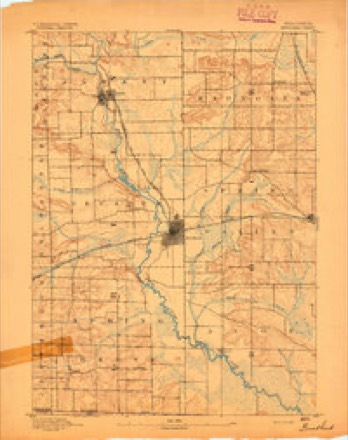
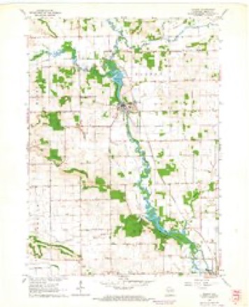
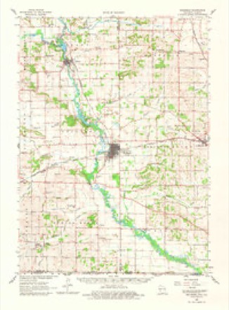
17 topographic sheets cover this place, the earliest surveyed in 1893 and the latest in 1981. It stands in Albany town. It lies in ZIP code area 53502. It stands on Little Sugar River. The Survey maps it on the Albany quadrangle. It stands 850 feet above sea level. The federal gazetteer marks this settlement historical: it is no longer a populated place, though the surveys that recorded it still are.
Topographic sheets covering this place
8 surveys from 17 printed sheetsMatched by testing this settlement's coordinate against the published boundary of every sheet in the United States Geological Survey's historical collection. Each opens the scanned sheet at the Survey.
- 1893 USGS Brodhead quadrangle1:62500, 5 printings
- 1954 USGS Rockford quadrangle1:250000
- 1955 USGS Rockford quadrangle1:250000
- 1958 USGS Rockford quadrangle1:250000, 4 printings
- 1962 USGS Albany quadrangle1:24000, 2 printings
- 1962 USGS Brodhead quadrangle1:62500, 2 printings
- 1963 USGS Rockford quadrangle1:250000
- 1981 USGS Monroe quadrangle1:100000





What happened here
An account from the chapter on Albany town. The inset identifies its exact source book and publication year.
Loss Of Life By Accident
The first fatal accident in the town, occurred on the Ist of June, 1851. On that day William Richardson, a merchant, was drowned in Sugar river while attempting to cross in a small boat. He was accompanied by S. A. Pond. When they reached the river, Richardson said he would return to the house for his rubbers, as he didn't want to wet his feet, "if he did get drowned." In the middle of the stream the current was too strong for them and they were swept over the dam.
In the county-history sources
25,950 words on this townshipHistory of Green County, Wisconsin, published 1877 names this settlement in its chapter on Albany Town. These are the passages that mention it, exactly as the scans read.
The locality of the village of Albany was first known as Campbell's ford. The land comprised in the village was entered by James Campbell and Thos. Stewart, and through their influence Capt. E. O. Pond and Dr. S. F. Nichols went there in the spuing of 1846, and built a log cabin (the first in the village), which was occupied by the families of both until a frame house could be erected. With a yoke of oxen S. A. Pond, then sixteen years of age, hauled the lumber for the second house from Amos Sylvester's mill, being sometimes obliged to first cut the logs and take them to the mill. Both houses were east of the river, the log house about ten rods from where the dam now is, and the frame house on the ground where Mrs. Pond still resides. At that time there were but two frame, and two log, houses between the ford and Janesville. On a few rough shelves in one corner of Capt. Pond's house, the frame house, were kept the dry goods and the boxes and barrels of groceries constituting Albany's first store. The report that Pond and Nichols were going to build up a village at the ford attracted others. A. R. Bur- gor and John and Nelson Stevenson came with them, and in August, Robert Gleason, who was employed to build the mill the next year, removed there with his family. In '46, with the assistance of J. V. Richardson as surveyor, Pond and Nichols laid out the village of Albany. They also built a saw mill, and succeeded in getting a mail route established from Beloit via Janesville, Albany, and Exeter to Mineral Point. Capt. Pond was the postmaster at Albany. The next year, J. B. Sawyer and Dr. Stearns built the American House, Capt. R. H. Hewitt opened a general store, and several new families came. They all shook with the ague, and all talked proudly of their beautiful country and their noble river. In the mean time, the flattering prospects of Albany had led Messrs. Bugor and Stevenson to lay out the village of Independence, on the river, three-fourths of a mile below Albany, but Independence never grew beyond half a score of houses.
Passage source: History of Green County, Wisconsin, published 1877.
Machine-read from a century-old scan, so expect the errors a machine makes: misspelled names, dropped words, stray characters.
Fires near this place
8 since 2018Regional context, not property-specific evidence. The federal wildfire occurrence database lists 8 fires within 5 miles of Mineral Point (historical) between 2018 and 2020, burning about 5 acres in total. None started naturally. None was recorded as arson. Distance is straight-line from the map coordinates, so a fire counted here may appear on a neighbouring settlement's page as well.
| Reported cause | Fires |
|---|---|
| Debris and open burning | 6 |
| Missing data/not specified/undetermined | 2 |
The most recent of them, most recent first, with the day each was reported and the service that recorded it.
| Date | Cause | Size | Reported by | Name on the report |
|---|---|---|---|---|
| 29 May 2018 | Missing data/not specified/undetermined | under an acre | Wisconsin Department of Natural Resources | 201829 |
| 5 April 2018 | Debris and open burning | 2.0 acres | Wisconsin Department of Natural Resources | 3366 |
| 30 April 2018 | Debris and open burning | under an acre | Wisconsin Department of Natural Resources | 201826 |
| 30 April 2018 | Missing data/not specified/undetermined | 1.0 acres | Wisconsin Department of Natural Resources | 201825 |
| 28 April 2018 | Debris and open burning | 1.0 acres | Wisconsin Department of Natural Resources | 201822 |
| 24 April 2018 | Debris and open burning | under an acre | Wisconsin Department of Natural Resources | 201820 |
| 31 March 2019 | Debris and open burning | under an acre | Wisconsin Department of Natural Resources | 201925 |
| 3 November 2020 | Debris and open burning | under an acre | Wisconsin Department of Natural Resources | 202082 |
Settlements close enough to share some of these fires:
Mines and quarries near this place
5 within 5 milesRegional context, not property-specific evidence. The federal mineral resources record lists 5 workings within 5 miles of Mineral Point (historical): 2 past producers, 2 producers, 1 unknown. 2 still produce. What was taken out: Stone, Crushed/Broken, Sand and Gravel, Construction. Distance is straight-line from the map coordinates, so a quarry counted here may appear on a neighbouring settlement's page as well.
| Where | Site | Commodity | Status | Recorded |
|---|---|---|---|---|
| Schlapbach Pit | Sand and Gravel, Construction | Producer | ||
| Schlapback Pit | Sand and Gravel, Construction | Unknown | ||
| Knight Quarry | Stone, Crushed/Broken | Past Producer | ||
| Oliver Quarry | Stone, Crushed/Broken | Producer | ||
| Waelchli | Stone, Crushed/Broken | Past Producer |
Nearest settlements
The eight closest, with where each one stands in the county. Distances are straight-line, computed from the Geographic Names Information System coordinates.
Elsewhere
Matched on this settlement's Geographic Names Information System number rather than its name, so it cannot be a different place of the same name in another state.
| Wikipedia article on Mineral Point (historical) | An encyclopaedic summary. Its text is share-alike, so it is linked here rather than copied. |
| Wikidata item Q6864301 | The structured record the population and elevation above come from. Public domain (CC0). |
Provenance
This settlement is recorded in the Geographic Names Information System as feature 1577730. The sheet list is computed by point-in-boundary test against the United States Geological Survey's historical topographic inventory. Both are works of the United States government and carry no copyright under 17 U.S.C. 105.
Wildfire. Short, Karen C. 2022. Spatial wildfire occurrence data for the United States, 1992-2020 [FPA_FOD_20221014]. 6th Edition. Fort Collins, CO: Forest Service Research Data Archive. https://doi.org/10.2737/RDS-2013-0009.6 Collected with United States Government funding and usable without additional permissions or fees.
Mines and quarries. USGS Mineral Resources Data System (MRDS) https://mrdata.usgs.gov/mrds/ A work of the United States government, no copyright under 17 U.S.C. 105.