 Block
Packer, Connecticut
32 topographic sheets cover this place, the earliest surveyed in 1889 and the latest in 1984. It stands in Canterbury town. It lies in ZIP code area 06331. It stands on Mill Brook. The Survey maps it on the Plainfield quadrangle.
On record in Packer
Buildings and businesses the archive holds for this place. Each opens its own page, with the source record it came from.
On the National Register within a mile 1 record
The National Register names another town for these. They stand within one mile of this settlement's coordinate.
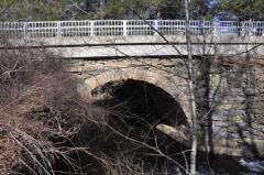 Packerville Bridgelisted 1992 · 0.2 miles away
Topographic sheets covering this place
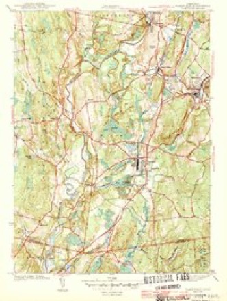
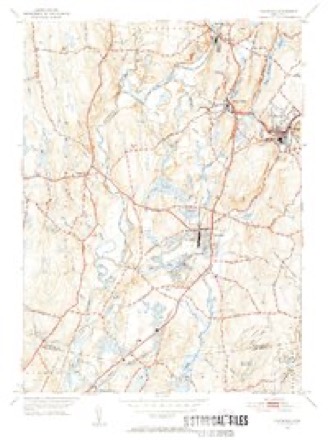
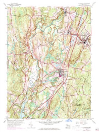
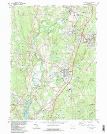
14 surveys from 32 printed sheetsMatched by testing this settlement's coordinate against the published boundary of every sheet in the United States Geological Survey's historical collection. Each opens the scanned sheet at the Survey.
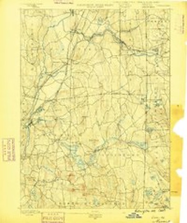
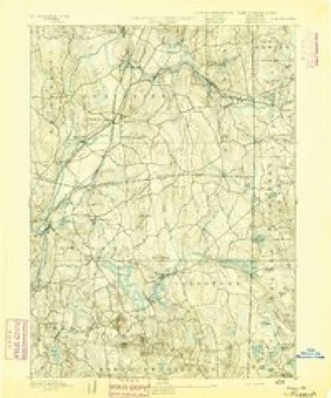
- 1889 USGS Moosup quadrangle1:62500
- 1893 USGS Moosup quadrangle1:62500, 7 printings
- 1920 USGS Moosup quadrangle1:62500
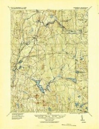
- 1943 USGS Plainfield quadrangle1:31680, 3 printings
- 1943 USGS Putnam quadrangle1:125000
- 1947 USGS Providence quadrangle1:250000, 5 printings
- 1948 USGS Providence quadrangle1:250000
- 1953 USGS Plainfield quadrangle1:31680, 2 printings
- 1953 USGS Plainfield quadrangle1:24000, 4 printings
- 1957 USGS Providence quadrangle1:250000
- 1958 USGS Providence quadrangle1:250000
- 1963 USGS Providence quadrangle1:250000
- 1983 USGS Plainfield quadrangle1:24000, 3 printings
- 1984 USGS Providence quadrangle1:100000







In the county-history sources
23,574 words on this townshipHistory of Windham County, Connecticut .., published 1889 names this settlement in its chapter on Canterbury Town. These are the passages that mention it, exactly as the scans read.
As soon as practicable the Canterbury people established religious services and employed a minister, and began to arrange for the erection of a meeting house. In 1705 Robert Green made over to the town for thirty shillings three and a half acres on a hill hear his house, for public purposes. This plot has ever since been so held and is still known as Canterbury Green.
Passage source: History of Windham County, Connecticut .., published 1889.
The building of the first meeting house was perhaps the most absorbing enterprise with the early settlers of these towns, after they had provided some sort of comfortable habitations for their individual needs. Canterbury plead such weakness that the assembly remitted the usual " country rate " in 1708, on condition that it be used in the construction of the meeting house. This public edifice and a house for the minister were provided by 1711, and in that year the town received from the assembly permission " to gather a church and call a minister to office amongst them, according to the rules of the gospel and the order of discipline established by this government." The church was organized under this privilege, June 13th, 1711, and at the same time Reverend Samuel Estabrook, who had for several years been preaching here, was installed as their pastor. The constituent members of the church were Samuel Estabrook, Eleazer Brown, Elisha Paine, Samuel Cleveland, John Woodward, Richard Woodward and Stephen Frost. Others who joined the church during the next two years were Timothy Backus, James Hyde, Josiah Cleveland, Richard Adams, Jr., Samuel Butts, Thomas Brown and their wives, and Mrs. Samuel Adams and one or two others, bringing the membership of the church up to twentyfive.
Passage source: History of Windham County, Connecticut .., published 1889.
Episcopal service was frequently performed by Reverend George S. White after his removal to Canterbury, and in 1827 " St. Thomas Parish " gained a name, but scarcely a " local habitation." Its existence was, however, recognized for several years, but has long since become a thing known only to history.
Passage source: History of Windham County, Connecticut .., published 1889.
Machine-read from a century-old scan, so expect the errors a machine makes: misspelled names, dropped words, stray characters.
Read the whole chapter on Canterbury Town - it names this place 7 more 7 times.
Fires near this place
181 since 1992Regional context, not property-specific evidence. The federal wildfire occurrence database lists 181 fires within 5 miles of Packer between 1992 and 2020, burning about 182 acres in total. 1 started naturally. 10 were recorded as arson. Distance is straight-line from the map coordinates, so a fire counted here may appear on a neighbouring settlement's page as well.
| Reported cause | Fires |
|---|---|
| Missing data/not specified/undetermined | 111 |
| Debris and open burning | 25 |
| Recreation and ceremony | 12 |
| Arson/incendiarism | 10 |
| Smoking | 8 |
| Misuse of fire by a minor | 7 |
| Equipment and vehicle use | 4 |
| Railroad operations and maintenance | 2 |
| Natural | 1 |
| Power generation/transmission/distribution | 1 |
The most recent of them, most recent first, with the day each was reported and the service that recorded it.
| Date | Cause | Size | Reported by | Name on the report |
|---|---|---|---|---|
| 5 September 2016 | Missing data/not specified/undetermined | under an acre | Connecticut Division of Forestry | 257 WATER ST, CANTERBURY CT |
| 28 September 2011 | Missing data/not specified/undetermined | under an acre | Connecticut Division of Forestry | PLAINFIELD |
| 23 September 2020 | Missing data/not specified/undetermined | under an acre | Connecticut Division of Forestry | I395 NB |
| 22 September 2020 | Missing data/not specified/undetermined | 1.0 acres | Connecticut Division of Forestry | 333 EDMOND ROAD |
| 13 September 2020 | Missing data/not specified/undetermined | under an acre | Connecticut Division of Forestry | 270 N BURNAHM HIGHWAY |
| 8 August 2016 | Missing data/not specified/undetermined | under an acre | Connecticut Division of Forestry | 229 S CANTERBURY RD, CANTERBURY CT |
| 10 August 2020 | Debris and open burning | under an acre | Connecticut Division of Forestry | 6 FINN ROAD |
| 4 July 1997 | Equipment and vehicle use | 2.0 acres | Connecticut Division of Forestry | not named |
Settlements close enough to share some of these fires:
Mines and quarries near this place
8 within 5 milesRegional context, not property-specific evidence. The federal mineral resources record lists 8 workings within 5 miles of Packer: 6 past producers, 2 producers. 2 still produce. What was taken out: Sand and Gravel, Construction. Distance is straight-line from the map coordinates, so a quarry counted here may appear on a neighbouring settlement's page as well.
| Where | Site | Commodity | Status | Recorded |
|---|---|---|---|---|
| Arpin Pit | Sand and Gravel, Construction | Past Producer | Sedimentary | |
| Arpin Pit | Sand and Gravel, Construction | Producer | ||
| Canterbury Pit | Sand and Gravel, Construction | Past Producer | Sedimentary | |
| Canterbury Pit | Sand and Gravel, Construction | Past Producer | ||
| Miller Pit | Sand and Gravel, Construction | Past Producer | Sedimentary | |
| Miller Pit | Sand and Gravel, Construction | Past Producer | ||
| Waskiewicz Pit | Sand and Gravel, Construction | Past Producer | Sedimentary | |
| Waskiewicz Pit | Sand and Gravel, Construction | Producer |
Nearest settlements
The eight closest, with where each one stands in the county. Distances are straight-line, computed from the Geographic Names Information System coordinates.
| Map | Place | Distance | Sheets |
|---|---|---|---|
| Plainfield | 2.1 miles | 32 | |
| Canterbury | 2.4 miles | 32 | |
| Central Village | 4.6 miles | 32 | |
| Westminster | 4.6 miles | 28 | |
| Moosup | 5.0 miles | 32 | |
| Ekonk | 5.7 miles | 28 | |
| Almyville | 5.8 miles | 28 | |
| Wauregan | 5.8 miles | 32 |
Provenance
This settlement is recorded in the Geographic Names Information System as feature 212537. The sheet list is computed by point-in-boundary test against the United States Geological Survey's historical topographic inventory. Both are works of the United States government and carry no copyright under 17 U.S.C. 105.
Wildfire. Short, Karen C. 2022. Spatial wildfire occurrence data for the United States, 1992-2020 [FPA_FOD_20221014]. 6th Edition. Fort Collins, CO: Forest Service Research Data Archive. https://doi.org/10.2737/RDS-2013-0009.6 Collected with United States Government funding and usable without additional permissions or fees.
Mines and quarries. USGS Mineral Resources Data System (MRDS) https://mrdata.usgs.gov/mrds/ A work of the United States government, no copyright under 17 U.S.C. 105.