 Block
Westminster, Connecticut
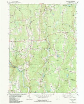
28 topographic sheets cover this place, the earliest surveyed in 1892 and the latest in 1994. It stands in Canterbury town. It lies in ZIP code area 06331. It stands on Westminster Hill. The Survey maps it on the Scotland quadrangle.
On record in Westminster
Buildings and businesses the archive holds for this place. Each opens its own page, with the source record it came from.
On the National Register within a mile 1 record
The National Register names another town for these. They stand within one mile of this settlement's coordinate.
- March Route of Rochambeau's Army: Manship Road-Barstow Roadlisted 2003 · 0.9 miles away
Topographic sheets covering this place
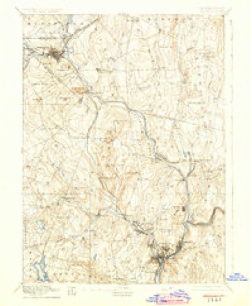
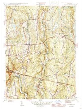
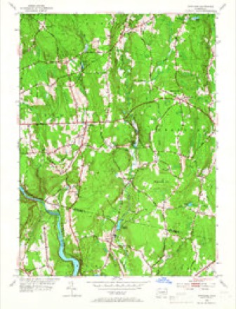
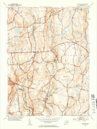
12 surveys from 28 printed sheetsMatched by testing this settlement's coordinate against the published boundary of every sheet in the United States Geological Survey's historical collection. Each opens the scanned sheet at the Survey.
- 1892 USGS Norwich quadrangle1:62500, 8 printings
- 1946 USGS Scotland quadrangle1:31680
- 1947 USGS Hartford quadrangle1:250000, 2 printings
- 1948 USGS Hartford quadrangle1:250000, 2 printings
- 1953 USGS Scotland quadrangle1:24000, 3 printings
- 1953 USGS Scotland quadrangle1:31680, 2 printings
- 1961 USGS Hartford quadrangle1:250000
- 1962 USGS Hartford quadrangle1:250000, 3 printings
- 1965 USGS Hartford quadrangle1:250000, 2 printings
- 1983 USGS Scotland quadrangle1:24000
- 1986 USGS Hartford quadrangle1:100000
- 1994 USGS Hartford quadrangle1:100000, 2 printings







In the county-history sources
23,574 words on this townshipHistory of Windham County, Connecticut .., published 1889 names this settlement in its chapter on Canterbury Town. These are the passages that mention it, exactly as the scans read.
The young town had considerable trouble to maintain its rights against the town of Plainfield, which obtained a patent covering all the land up to the Quinebaug, and though the patent was declared by the assembly to be void, yet the latter town, for a time at least, seemed to exercise jurisdiction under it. Thus the dividing line between the two towns was for many years a source of trouble, and an almost constant dispute was kept up on the subject, the particulars of which are too lengthy to be inserted here. Though Canterbury, when in October, 1703, it was endowed with town privileges, had but few inhabitants, their character and circumstances made amends for the smallness of their number. Most of them were men of means and position, accustomed to the management of public affairs and well fitted to initiate and carry on the settlement of the new township. Most, if not all, of the residences were in the eastern part of the town, overlooking the Quinebaug valley. The priv- ilege of Rowland's brook, a short distance northwest from Peagscomsuck, was granted to Samuel Adams, in 1703, for building and maintaining a corn mill. The same year Obadiah Johnson was allowed to keep a house of entertainment for the public, " provided he keeps good order," and here town meetings were held and public business transacted.
Passage source: History of Windham County, Connecticut .., published 1889.
No record can now be found of the first organization of the town government. The first town clerk was probably Elisha Paine, and the first selectmen William Johnson, Samuel Adams and Eleazer Brown. This absence of early records makes it difficult to trace the progress of the town at that period, but it was probably very slow for several years. The tenure of land was prejudicial to its growth and best interests. Mr. Samuel Adams at that time declared - " Before we were a town, Major Fitch, Richard Bushnell and the Tracys had swept up all tlie good land upon the Quinebaug with all the other good land, wheresoever it lay, and all for a song or a trifle, so that there was nothing left but poor rocky hills and hungry land such as no wise man under Heaven would have ventured to settle upon." Land titles were obscure and conflicting, and some tracts had been sold and resold by Owaneco till it was impossible to tell who was the rightful owner, and after subduing and cultivating such rough lands as were left them the settlers had often to pay off successive claimants or be sued from court to court to their cost and damage. With these difficulties in the way it is not surprising that Canterbury at first made but slow progress in settlement. Eleazer Brown, of Chelmsford, bought land at Wanungatuck of the Tracys in 1704. Jonathan Ashley, Benjamin Baldwin and Henry Smith appear among the inhabitants in 1705. Samuel Butts, of Dorchester, settled near Wanungatuck in 1706, and John Pelton and Jeremiah Plympton, Charles and Paul Davenport, of Dorchester, boHght land in the south of Canterbury, "with buildings and fences," of Jeremiah Fitch the same year.
Passage source: History of Windham County, Connecticut .., published 1889.
After the withdrawal of the revivalists and the ordination of Mr. Cogswell, the standing church (as it was called) increased in numbers and enjoyed a fair degree of prosperity for many years. Mr. Cogswell, though so obnoxious to the Separatists, was very acceptable to that part of the church and society which had put themselves under his care, and was greatly respected abroad for prudence, piety and learning. In -1746 Stephen Frost was made deacon in place of Timothy Backus, who had gone out with the Separatists. A partial recognition of each other was affected between the two bodies, by which the Separatists kept the records of the original church, and the communion service was divided between the two bodies. Further particulars in regard to the course of the Separatist church will be given in another paragraph. Let us now notice the course of the body which succeeded to the name of the Church of Canterbury.
Passage source: History of Windham County, Connecticut .., published 1889.
Machine-read from a century-old scan, so expect the errors a machine makes: misspelled names, dropped words, stray characters.
Read the whole chapter on Canterbury Town - it names this place 19 more 19 times.
Fires near this place
59 since 1993Regional context, not property-specific evidence. The federal wildfire occurrence database lists 59 fires within 5 miles of Westminster between 1993 and 2020, burning about 91 acres in total. None started naturally. 4 were recorded as arson. Distance is straight-line from the map coordinates, so a fire counted here may appear on a neighbouring settlement's page as well.
| Reported cause | Fires |
|---|---|
| Missing data/not specified/undetermined | 43 |
| Debris and open burning | 4 |
| Arson/incendiarism | 4 |
| Recreation and ceremony | 3 |
| Misuse of fire by a minor | 2 |
| Equipment and vehicle use | 2 |
| Smoking | 1 |
The most recent of them, most recent first, with the day each was reported and the service that recorded it.
| Date | Cause | Size | Reported by | Name on the report |
|---|---|---|---|---|
| 5 September 2016 | Missing data/not specified/undetermined | under an acre | Connecticut Division of Forestry | 257 WATER ST, CANTERBURY CT |
| 9 August 1998 | Recreation and ceremony | 1.0 acres | Connecticut Division of Forestry | not named |
| 8 August 2016 | Missing data/not specified/undetermined | under an acre | Connecticut Division of Forestry | 229 S CANTERBURY RD, CANTERBURY CT |
| 10 August 2020 | Debris and open burning | under an acre | Connecticut Division of Forestry | 6 FINN ROAD |
| 4 July 2017 | Missing data/not specified/undetermined | under an acre | Connecticut Division of Forestry | 75 MURPHY HILL RD |
| 4 July 1997 | Equipment and vehicle use | 2.0 acres | Connecticut Division of Forestry | not named |
| 8 May 2007 | Missing data/not specified/undetermined | under an acre | Connecticut Division of Forestry | not named |
| 5 May 2020 | Missing data/not specified/undetermined | 4.5 acres | Connecticut Division of Forestry | 20 BALDWIN ROAD/LISBON ROAD |
Settlements close enough to share some of these fires:
Mines and quarries near this place
3 within 5 milesRegional context, not property-specific evidence. The federal mineral resources record lists 3 workings within 5 miles of Westminster: 2 past producers, 1 producer. 1 still produces. What was taken out: Sand and Gravel, Construction, Stone. Distance is straight-line from the map coordinates, so a quarry counted here may appear on a neighbouring settlement's page as well.
| Where | Site | Commodity | Status | Recorded |
|---|---|---|---|---|
| Granitic Gneiss Rock Quarry No. Aj-013 | Stone | Past Producer | Gneiss | |
| Waskiewicz Pit | Sand and Gravel, Construction | Past Producer | Sedimentary | |
| Waskiewicz Pit | Sand and Gravel, Construction | Producer |
Nearest settlements
The eight closest, with where each one stands in the county. Distances are straight-line, computed from the Geographic Names Information System coordinates.
| Map | Place | Distance | Sheets |
|---|---|---|---|
| Canterbury | 2.6 miles | 32 | |
| Scotland | 3.4 miles | 28 | |
| Packer | 4.6 miles | 32 | |
| Stetson Corner | 5.3 miles | 28 | |
| Hampton | 5.5 miles | 28 | |
| Clarks Corner | 5.7 miles | 28 | |
| Plainfield | 5.9 miles | 32 | |
| Central Village | 6.0 miles | 32 |
Provenance
This settlement is recorded in the Geographic Names Information System as feature 212021. The sheet list is computed by point-in-boundary test against the United States Geological Survey's historical topographic inventory. Both are works of the United States government and carry no copyright under 17 U.S.C. 105.
Wildfire. Short, Karen C. 2022. Spatial wildfire occurrence data for the United States, 1992-2020 [FPA_FOD_20221014]. 6th Edition. Fort Collins, CO: Forest Service Research Data Archive. https://doi.org/10.2737/RDS-2013-0009.6 Collected with United States Government funding and usable without additional permissions or fees.
Mines and quarries. USGS Mineral Resources Data System (MRDS) https://mrdata.usgs.gov/mrds/ A work of the United States government, no copyright under 17 U.S.C. 105.