Block
From the record
27 National Register listings published here.
Sources: the county history on the Internet Archive · the National Register database, National Park Service
33 topographic sheets and 11 fire insurance atlases across 2 places.
27 National Register listings published here.
Sources: the county history on the Internet Archive · the National Register database, National Park Service
Taken for the Office of War Information and the Farm Security Administration, who photographed the country between 1935 and 1944. Works of United States government photographers, with no known restriction on use. Each opens its catalogue record.



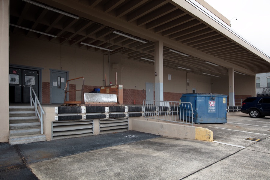
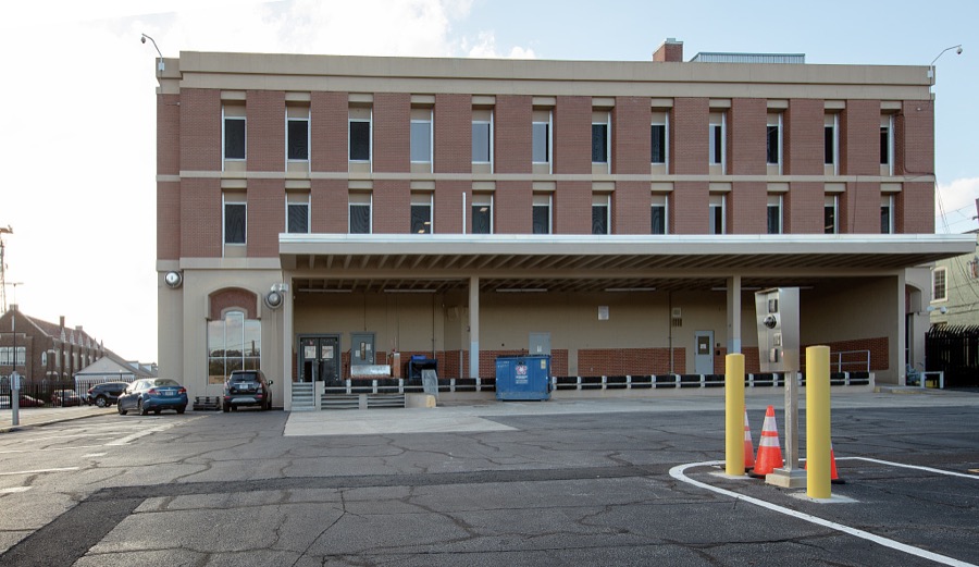











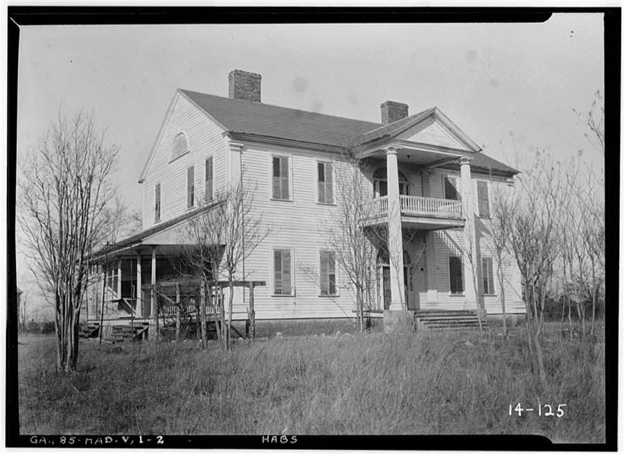
Every property in this county listed on the National Register of Historic Places, with the year it was listed and the federal nomination document.
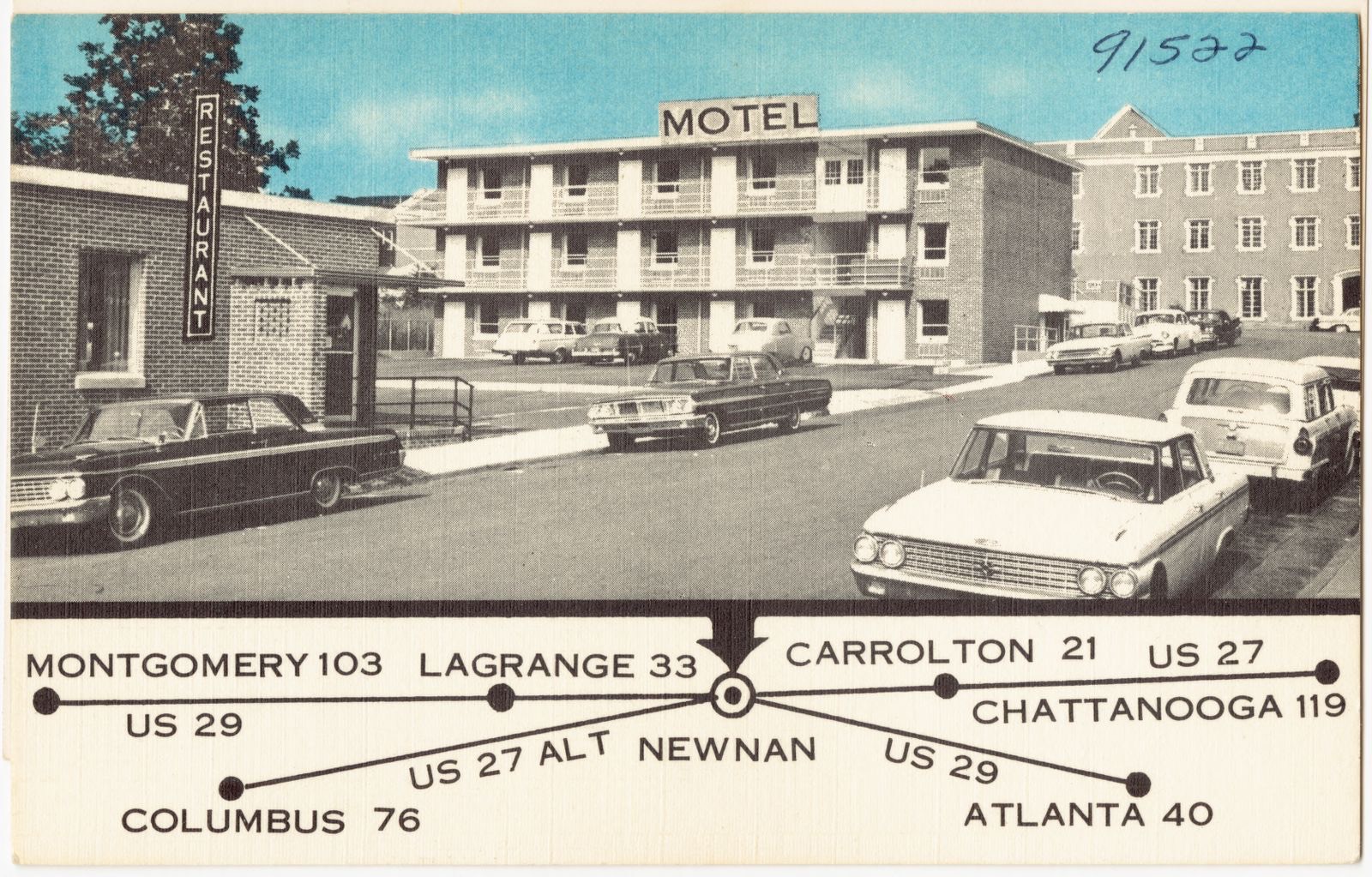
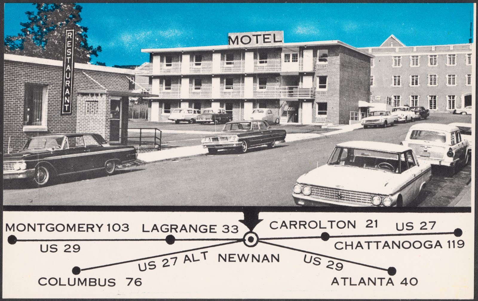
Selected from the Digital Public Library of America's 4 image records catalogued for this county. Every one shown here carries a public-domain status or a licence that permits reuse on a site that carries advertising; non-commercial, share-alike and restricted images are excluded. The selection is spread across the county's towns (at most eight per town), so no single institution's bulk upload crowds out the rest. Each opens the holding library's record, and the complete set at the Digital Public Library of America is one click away.
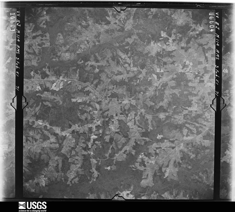
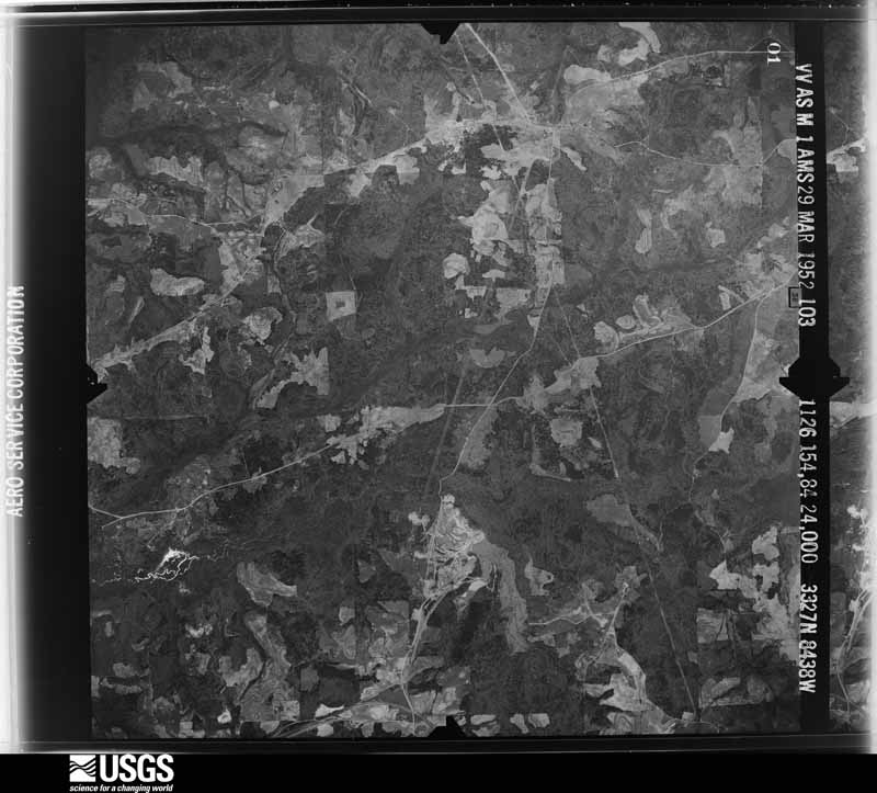
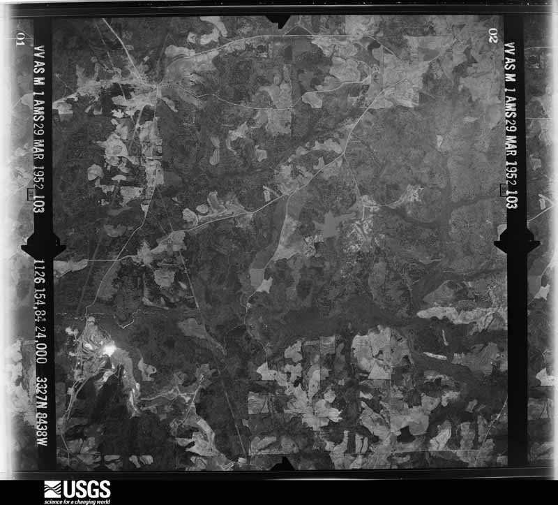
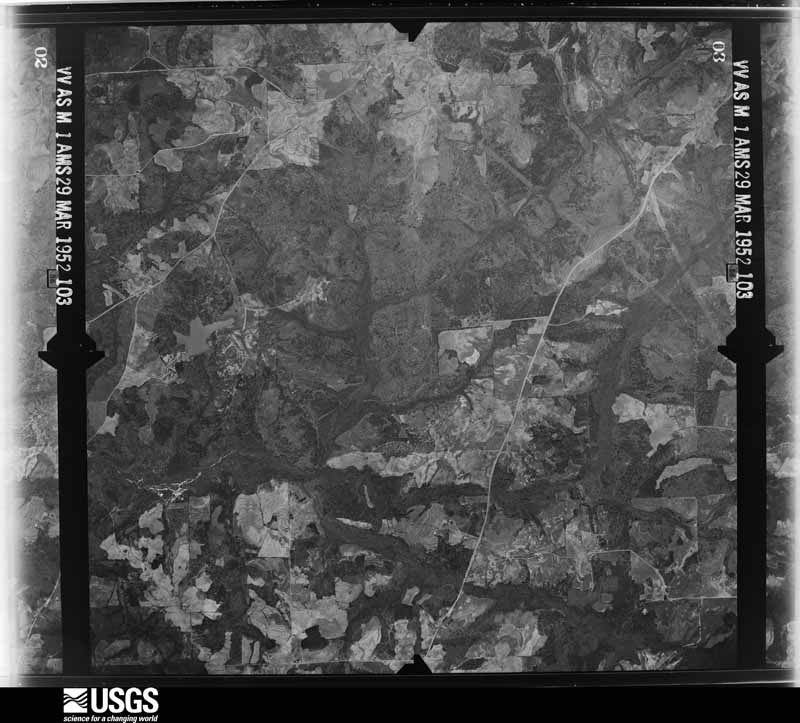
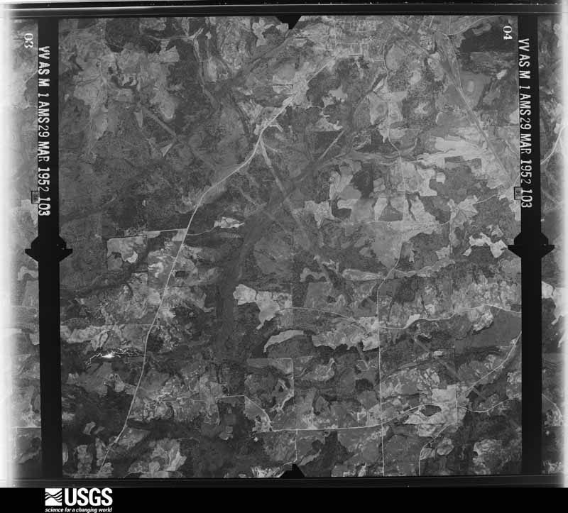
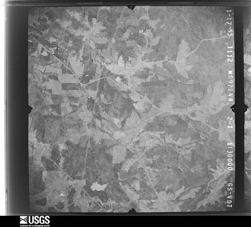
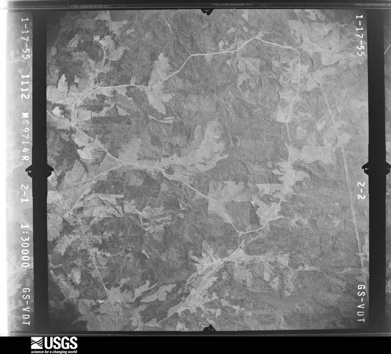
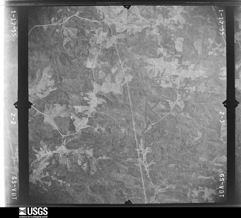
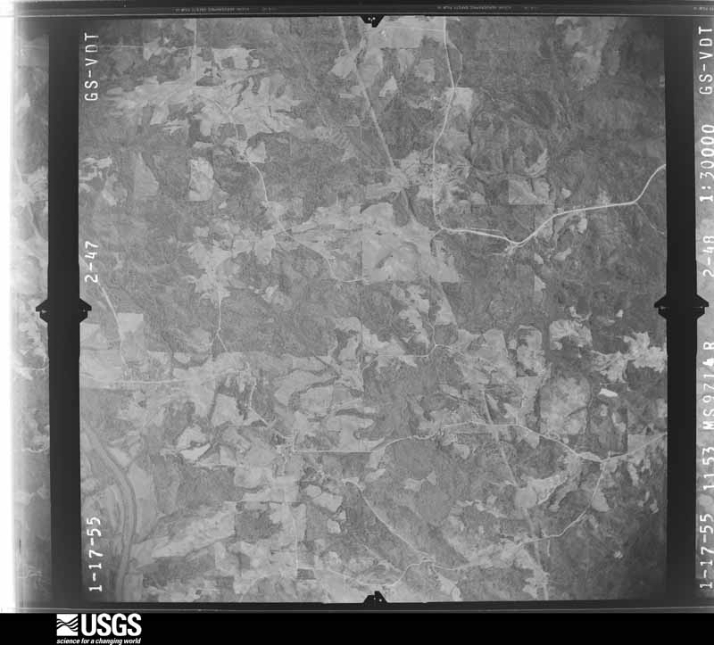
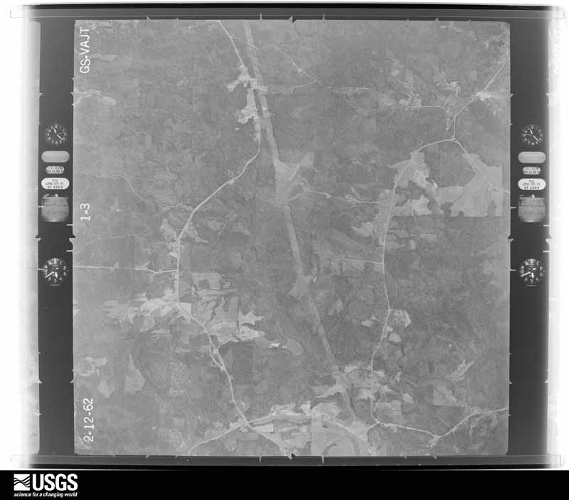
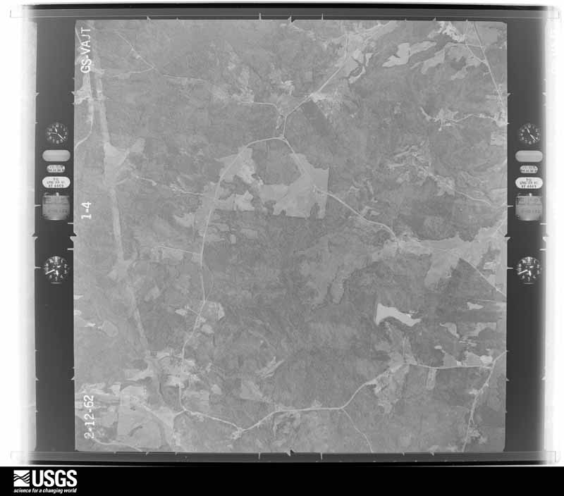
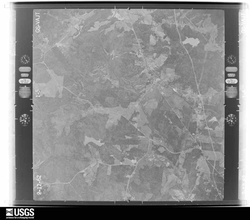
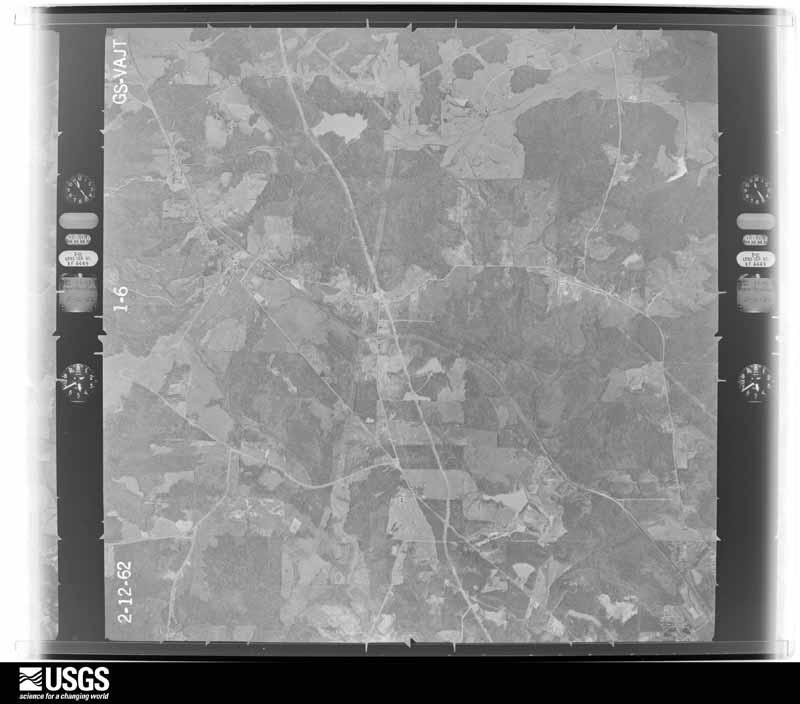
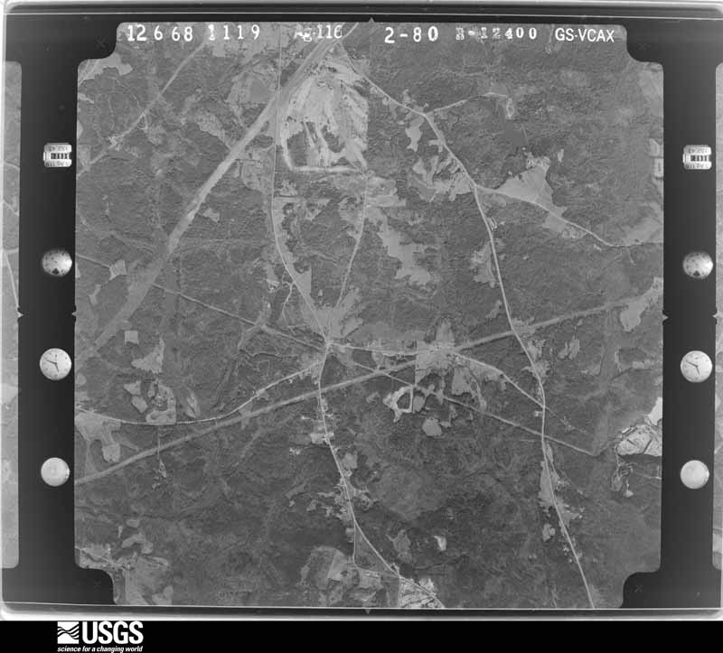
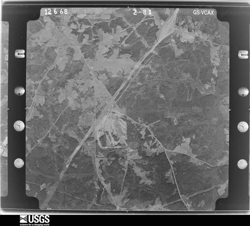
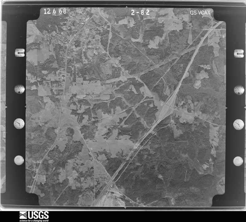
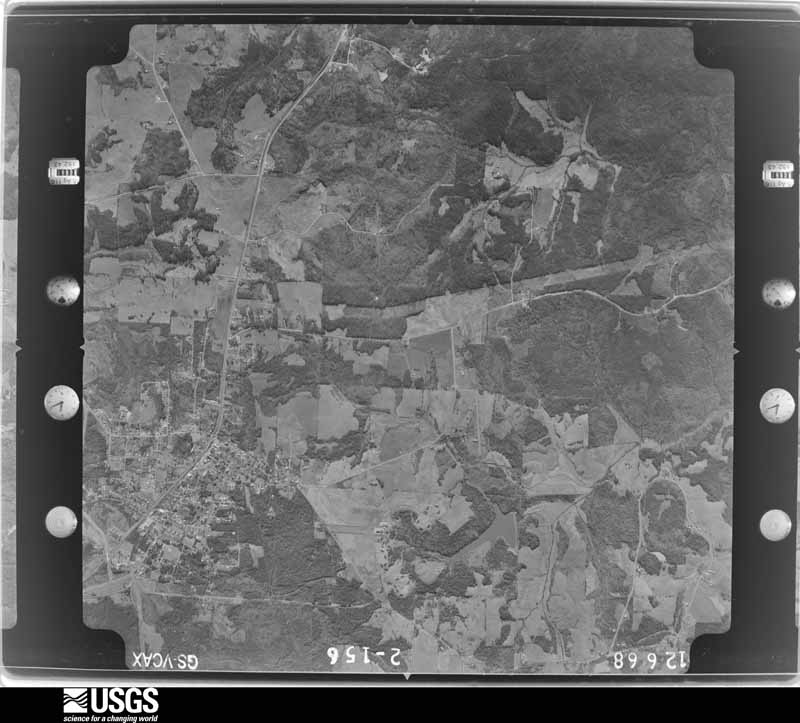
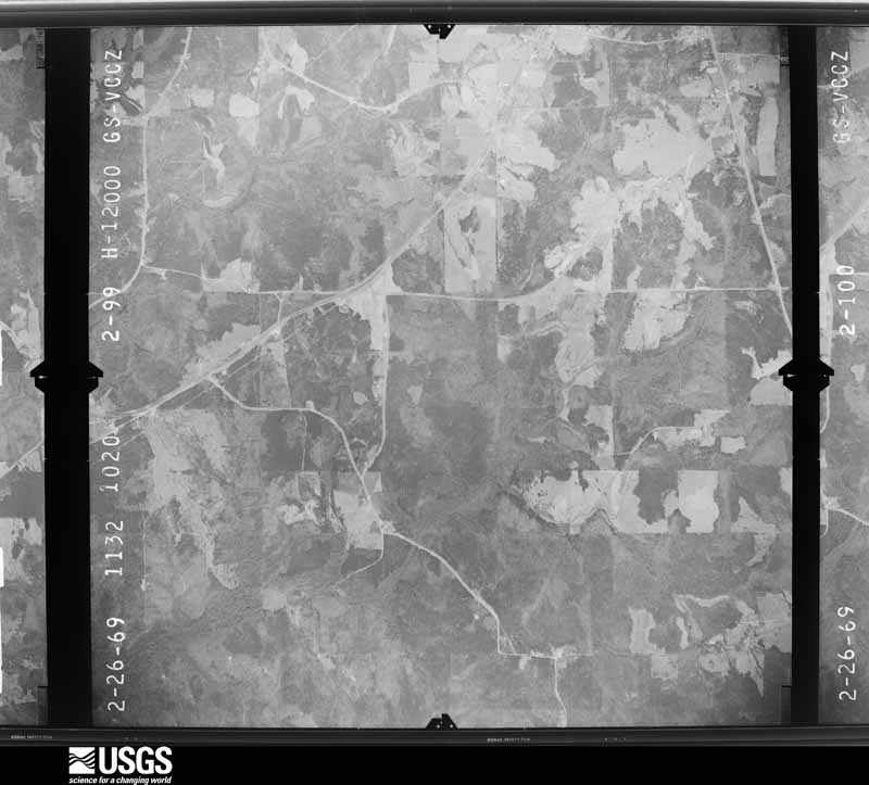
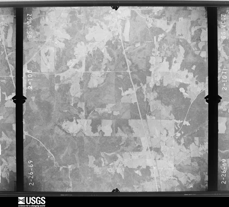
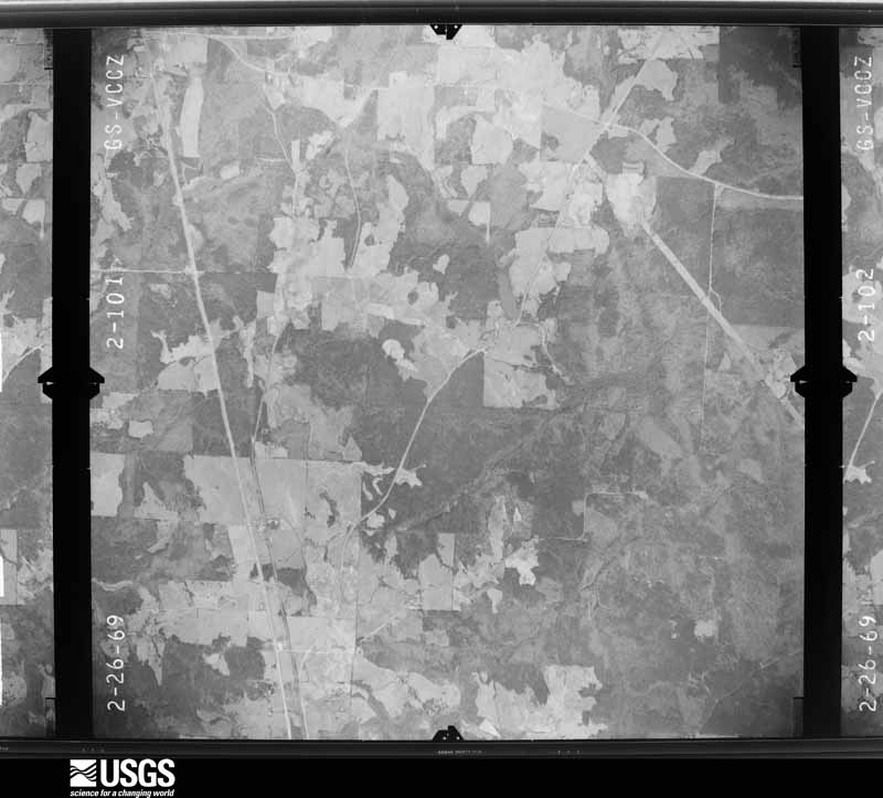
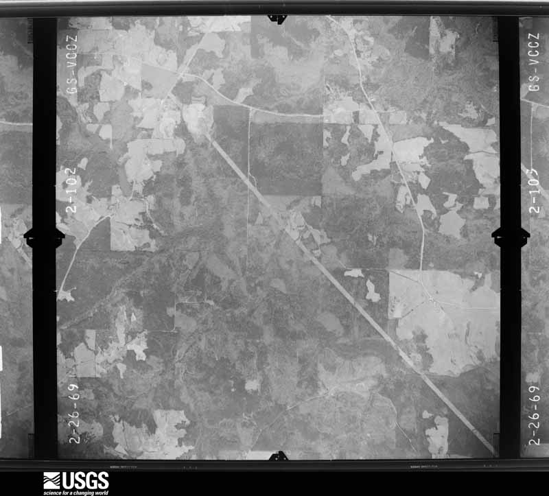
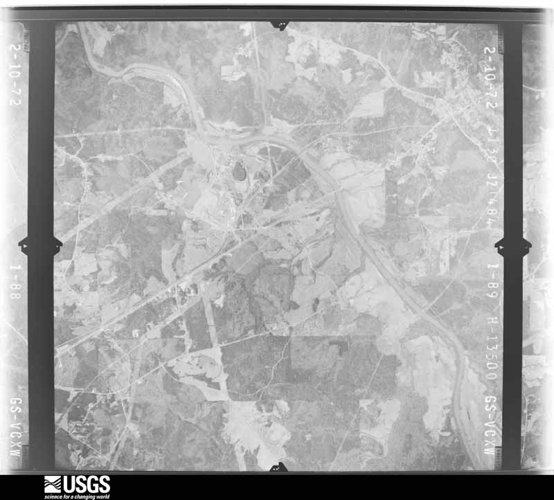
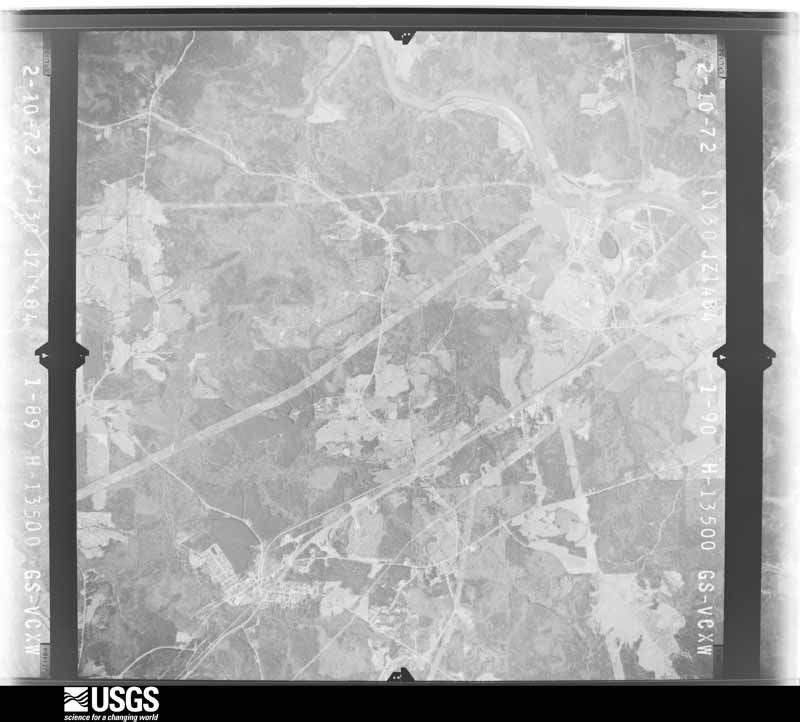
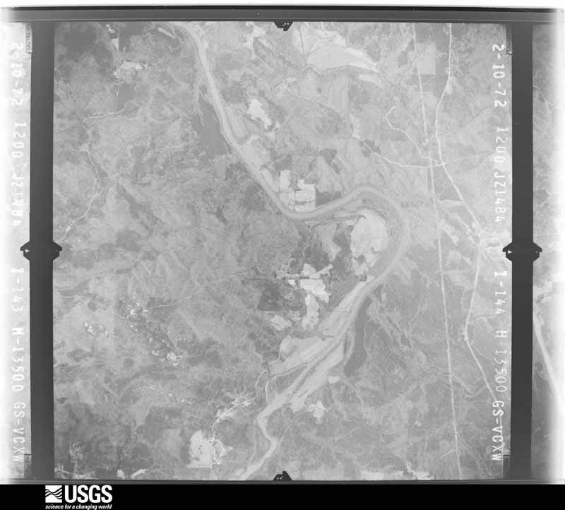
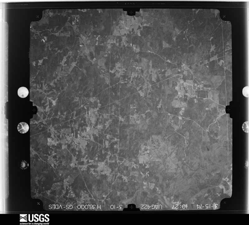
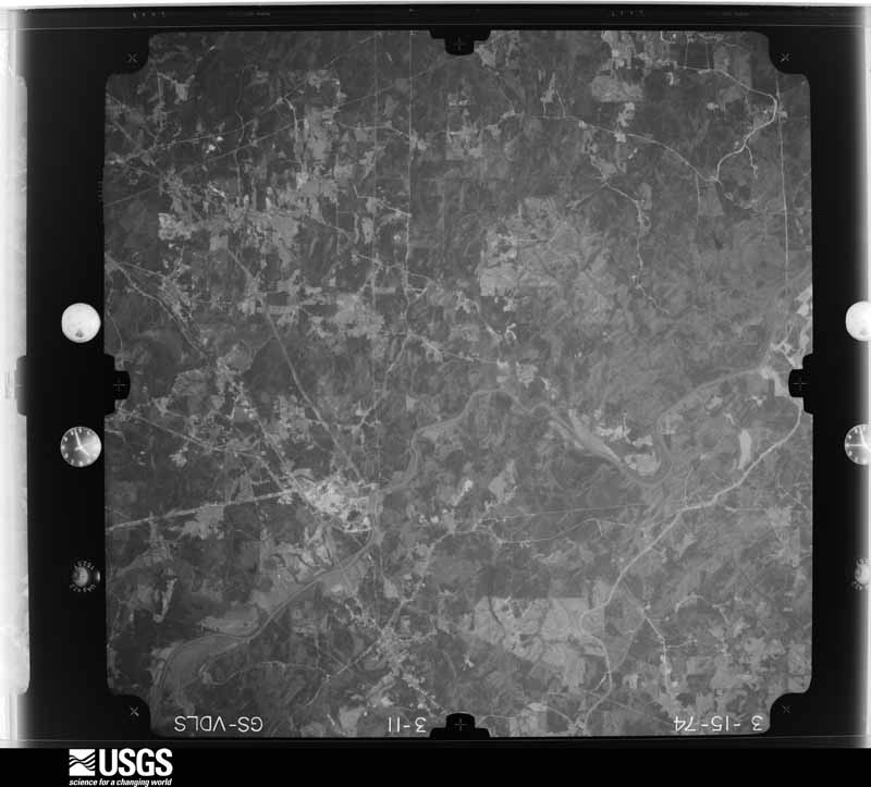
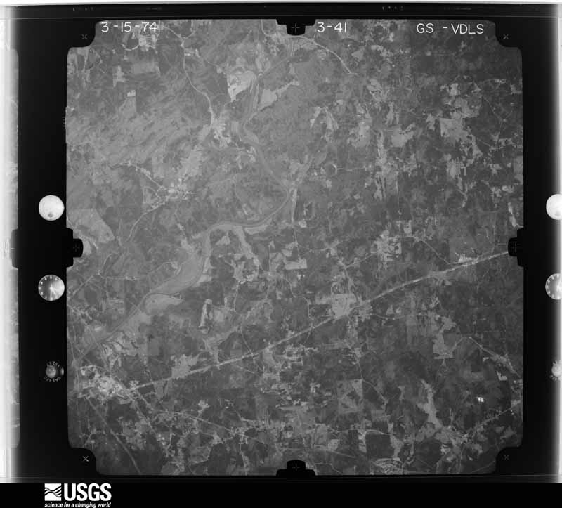
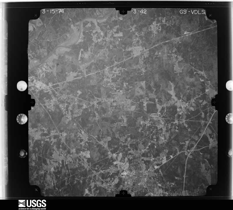
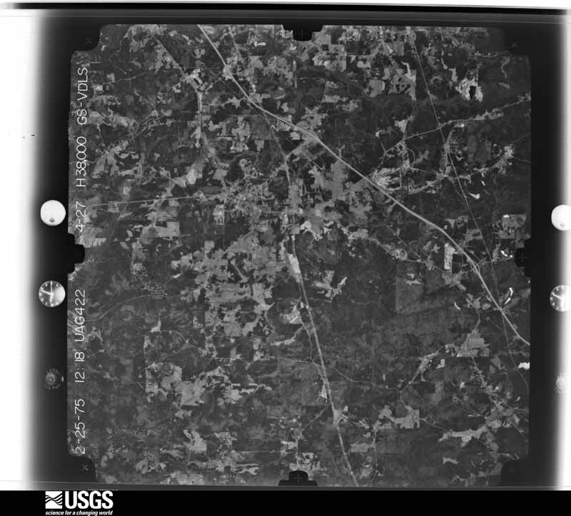
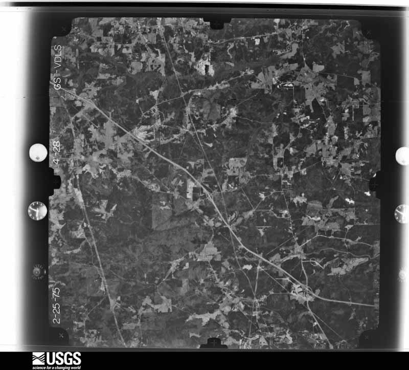
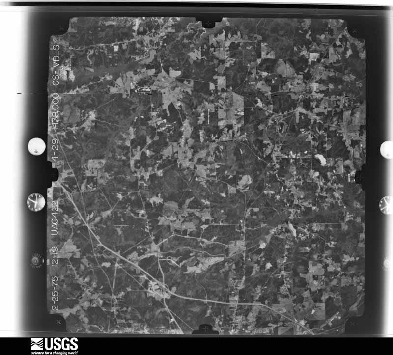
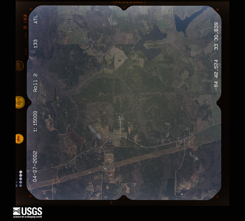
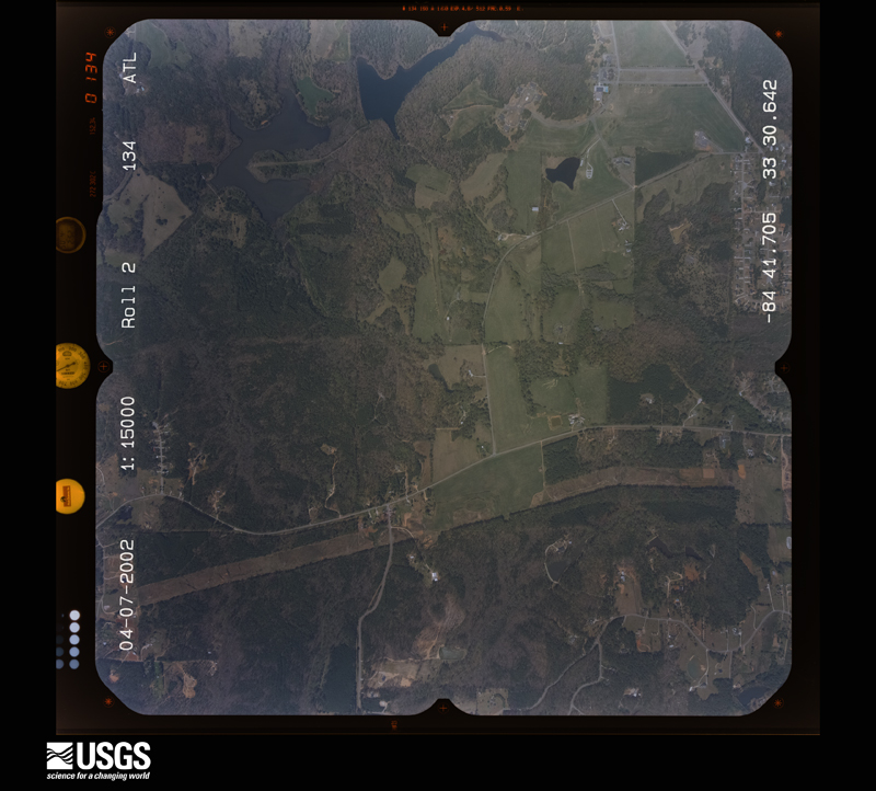
Flown by the U.S. Geological Survey between 1937 and 1989, the Aerial Photo Single Frames collection is the definitive mid-century view of the land: fields, roads and rivers as the camera saw them. The Survey holds 1,222 frames inside the rectangle that bounds this county; the 48 frames below were taken over the county itself, chosen across the decades of flights (at most four a year from that rectangle), so one flight cannot crowd out the rest. The full set is free to browse and download at EarthExplorer under the dataset Aerial Photo Single Frames.















The thermometers that kept this county's weather, and the gages that measured the flow of its streams, as the federal records hold them. The extremes below are measured values from those records, not estimates.
Who lived here in 1950, one enumeration district at a time, as the Census Bureau described each district. Each row opens its official National Archives result, with Population Schedules and ED Maps available there.
Every wildfire the federal occurrence database records inside this county: 1,504 of them, burning about 4,905 acres. 49 started naturally and 172 were recorded as arson. Each settlement page carries the fires within five miles of it.
| Reported cause | Fires |
|---|---|
| Debris and open burning | 914 |
| Arson/incendiarism | 172 |
| Missing data/not specified/undetermined | 99 |
| Misuse of fire by a minor | 79 |
| Equipment and vehicle use | 72 |
| Recreation and ceremony | 51 |
| Natural | 49 |
| Smoking | 44 |
| Railroad operations and maintenance | 24 |
The five largest, by the area the report gives. One of them was set deliberately.
| Date | Cause | Size | Reported by | Name on the report |
|---|---|---|---|---|
| 23 February 2000 | Misuse of fire by a minor | 305 acres | Georgia Forestry Commission | FY2000-COWETA-037 |
| 16 February 2015 | Arson/incendiarism | 158 acres | Georgia Forestry Commission | FY2015-COWETA-012 |
| 27 January 2006 | Debris and open burning | 97 acres | Georgia Forestry Commission | not named |
| 28 March 2001 | Debris and open burning | 75 acres | Georgia Forestry Commission | FY2001-COWETA-045 |
| 4 April 1999 | Equipment and vehicle use | 70 acres | Georgia Forestry Commission | not named |
| 24 February 2011 | Debris and open burning | 62 acres | Georgia Forestry Commission | FY2011-COWETA-028 |
| 13 March 2003 | Debris and open burning | 61 acres | Georgia Forestry Commission | not named |
| 3 January 2000 | Debris and open burning | 59 acres | Georgia Forestry Commission | FY2000-COWETA-025 |
Every settlement page carries the fires within five miles of it - see the settlement index below.
The NOAA Storm Events Database holds 662 reports for this county, causing 1 death, 65 injuries and about $79,024,600 in recorded property damage. Each settlement page carries the reports that name it.
| Kind of event | Reports |
|---|---|
| Thunderstorm Wind | 383 |
| Hail | 161 |
| Lightning | 52 |
| Tornado | 33 |
| Flash Flood | 21 |
| Heavy Rain | 6 |
| Flood | 4 |
| Funnel Cloud | 2 |
The most serious of them, by death, then injury, then recorded damage. The accounts are quoted exactly as the forecast office filed them.
| When | Event | Place named | Harm | What the report says |
|---|---|---|---|---|
| July 2016 | Thunderstorm Wind | Sargent | 1 killed, 1 hurt, $25,000 | The Coweta County Emergency Manager reported that a large oak tree fell on Sargent Main Street striking a van. The 47 year old driver of the van was killed and his teenaged passenger was injured. |
| March 1989 | Tornado (F3) | not stated | 23 hurt, $25,000,000 | no account filed |
| February 1990 | Thunderstorm Wind | not stated | 10 hurt | no account filed |
| November 1989 | Tornado (F2) | not stated | 7 hurt, $2,500,000 | no account filed |
| March 1989 | Tornado (F2) | not stated | 6 hurt, $2,500,000 | no account filed |
| May 1995 | Thunderstorm Wind | Newnan | 5 hurt, $150,000 | A National Weather Service employee reported a one-quarter-mile pile of trees were snapped in half, trees were one to two feet in diameter. Winds were estimated at 70 mph. Elsewhere in the county two workers were injured when the house they were constructing was knocked over by thunderstorm winds. Three people were also injured by a large tree limb which fell onto their car. One home in the Thomas Overby subdivision suffered slight damage and a car parked nearby was destroyed when a tree fell on them. |
| April 2016 | Thunderstorm Wind | Bexton | 5 hurt | The Coweta County 911 center reported multiple trees blown down around the intersection of Moore Road and Gordon Road. |
| February 1990 | Thunderstorm Wind | not stated | 3 hurt | no account filed |
| April 1985 | Thunderstorm Wind | not stated | 2 hurt | no account filed |
| June 1999 | Thunderstorm Wind | Dresden | 1 hurt, $25,000 | A gust front associated with a severe thunderstorm knocked trees and power lines down across Coweta county. At least 3 homes were damaged by falling limbs or trees. One had considerable damage, according to a newspaper report. One tree also fell on a vehicle, with 1 injury reported by the Coweta county EMA. |
| June 2010 | Lightning | Welcome | 1 hurt | The Times Herald of Newnan reported that lightning struck a home on Murphy Road in the Welcome community of western Coweta county. Damages to the home were apparently minor. However, a 27-year old female inside the home was apparently injured by the lightning as she was having difficulty breathing following the incident and was transported to an Atlanta hospital. |
| June 2005 | Lightning | Sharpsburg | 1 hurt | The Times/Herald of Newnan reported that a woman was injured when lightning struck an umbrella that she was holding. She was taken to the hospital and treated and released with minor injuries. |
| March 2021 | Tornado (EF4) | Handy | $20,000,000 | A National Weather Service survey determined that an EF4 tornado with maximum wind speeds 170 MPH and a maximum path width of 1850 yards occurred in Coweta County. The Heard County tornado crossed into Coweta County along Bob Wilson Road and gained strength as it moved east-northeast crossing JD Walton Road and travelled up Smokey Road with trees falling on some homes. Wind speeds quickly increased to over 150 MPH, EF3 intensity, near Timberland Trail on the southwest side of Newnan. Many homes had major damage and one home had all but the back wall collapse. The family survived with no injuries by taking shelter in their bathtub. The tornado continued east-northeast crossing Smokey Road and Belk Road where it reached its maximum intensity of 170 MPH, EF4 intensity, as it entered the western city limits of Newnan. One home at the end of Fairview Drive had all exterior and interior walls removed. Four homes along Arlington Court north of Lagrange St were destroyed with one having all exterior and interior walls removed, but leaving a vehicle nearly untouched in what was the garage. |As the tornado moved east of Boone Drive, it directly struck Newnan High School and the surrounding athletics fields causing broken windows and doors and extensive roof and structural damage. A portion of the second-story brick wall near the front of the main campus building collapsed. One man died after he suffered a heart attack while trying to reach his daughter's home in a heavily damaged neighborhood after the storm had passed and first responders were unable to reach him due to the large amounts of debris in the area. The tornado weaken from this point onward continuing into the southern part of downtown Newnan, passing directly over the county Justice Center and adjacent administrative building which houses the 911 facility. Extensive roof and window damage along with some interior wind and water damage occurred at the facility. Numerous homes continued to receive damage from winds and falling trees as the tornado moved east-northeast crossing E Broad Street and Greison Trail with 120 to 135 MPH wind speeds. The tornado weakened further as it crossed I-85, causing only minor damage to trees and businesses on the southern end of the Ashley Park shopping center and a hospital. The tornado did re-intensify near the Windsong and White Oak neighborhoods around Shenandoah Boulevard and White Oak Drive east of the Newnan city limits, with max winds of 120 MPH. The tornado continued east-northeast weakening again but still producing damage to trees and power lines, some falling on homes as it crossed Sullivan Road and Lora Smith Road before passing over the Thomas Crossroads area. In neighborhoods south of Andrew Baily Road and north of Highway 34, several homes received damage from falling trees. The tornado continued weakening with more sporadic damage to several trees as it continued east-northeast crossing Fisher Road and Minix Road and moving into Fayette County. [3/25/21: Tornado #2, County #2/3, EF-4, Heard, Coweta, Fayette, 2021:007]. |
| March 2011 | Hail | Grantville | $6,530,000 | Literally dozens of reports of large damaging hail were received from the public across southern Coweta county from Grantville, Moreland, eastward to Senoia. Most of the hail was the size of golf balls, but hail the size of baseballs, tennis balls, and even isolated reports of grapefruit-sized hail were received from the Grantville area eastward to just south of Moreland. Hail decreased in size to half-dollars by the time it reached areas just south of Senoia. Significant accumulations of hail were noted on the ground in the area and much of the region was blanketed with a hail cover for an hour or more. Extensive damage was observed to vehicles and roofs of homes in the area. |
| February 2009 | Hail | Madras | $4,000,000 | Very large hail was observed in far northeast Coweta county. Numerous reports of large hail were also received from northeast Coweta county. The hail fell from a supercell that tracked across the northeast part of the county from just south of Palmetto, along the Fulton-Coweta county line to just east of Cannongate along the Fayette county line. The large hail storm continued into northern Fayette county as well. The Coweta County Emergency Management County Director reported 4.25 inch diameter hail approximately four miles northeast of Madras near the Fulton county line. Several reports of golf ball-sized hail were received from the public in the Cannongate area. Extensive damage to roofs and windows of homes was reported from the area. |
| November 1989 | Tornado (F2) | not stated | $2,500,000 | no account filed |
| July 2013 | Hail | Mc Collum | $1,120,000 | The public reported quarter to golf ball sized hail south of Palmetto. |
| March 2013 | Hail | Grantville | $1,100,000 | The Coweta County Emergency Manager reported golfball sized hail in Grantville. |
| April 2011 | Hail | Sargent | $1,080,000 | The public observed golf ball-sized hail approximately five miles southwest of Palmetto near Cannongate near the intersection of Georgia Highway 54 and U.S. Highway 29. |
| June 2015 | Hail | Mc Bride | $1,000,000 | A report of dime to golf ball sized hail at I-85 and Bullsboro drive in Newnan was received on social media. |
| February 2009 | Hail | Newnan | $700,000 | The public observed golf ball-sized hail in the Newnan area and nickel-sized hail south of Sharpsburg. Nickel-sized hail was observed around Turin. |
| April 2008 | Hail | Sargent | $700,000 | The public observed golf ball-sized hail in northern Coweta county, just southwest of Roscoe and half-dollar-sized hail about five miles north of Newnan. A storm spotter observed nickel-sized hail in the Sargent area. |
| June 2006 | Hail | Newnan | $540,000 | Several reports of hail, ranging in size from pennies to even one golf ball size, were received from the Newnan area. The public reported penny-sized hail at one location in the city, with golf ball-sized hail reported from the public at another location. The Newnan Times-Herald reported half-dollar-sized hail, and the Emergency Management Director reported quarter-sized hail. Much of the hail fell within the town square of the city. The largest hail fell mostly in the time frame of 310 pm EDT to 315 pm EDT, with mainly penny-sized hail reported after 315 pm EDT. |
| February 2009 | Tornado (EF2) | St Charles | $500,000 | A damage survey conducted by the National Weather Service Forecast Office in Peachtree City, Georgia confirmed that the EF2 tornado that touched down at 923 Bradberry Road, just inside the Meriwether county line, quickly crossed into Coweta county and continued on an east-northeastward track across far southern Coweta county, crossing into Spalding county approximately four miles east-northeast of Haralson. Within Coweta county the tornado caused minor to moderate damage to several homes. One home completely lost its roof. A horse was killed from flying debris near U.S. Highway 27A. Hundreds of trees were also blown down along the path of the tornado. The tornado tracked almost 16 miles within Coweta county. The maximum path width was estimated to be one mile with maximum winds of 120 mph. |
| June 2008 | Hail | Newnan | $500,000 | The public observed penny to golf ball-sized hail on the west side of Newnan along Welcome Road and penny-sized hail was reported just east of downtown Newnan at the intersection of Georgia Highway 34, Bullsboro Road, and Interstate-85. |
| July 2007 | Lightning | Thomas Xrds | $500,000 | The Coweta County 911 Center and the Newnan Times Herald reported that lightning struck six structures within the county. A home was struck on Mike Powers Road, causing moderate damage to the bedrooms, and Pegasus Trace in Thomas Crossroads, causing just minor damage. A barn on Roy Road off Georgia Highway 16 in the Raymond community was destroyed as a result of a lightning-related fire. |
| May 2003 | Thunderstorm Wind | Newnan | $500,000 | An aerial storm survey, conducted by an employee of the National Weather Service Office in Peachtree City, Georgia, along with numerous reports from the public, amateur radio operators, and a plethora of articles and pictures from the Newnan Times-Herald newspaper, indicated that strong thunderstorm winds caused extensive damage to trees in the Summer Grove Subdivison southeast of Newnan, east of Interstate-85 and south of Lower Fayetteville Road. The Coweta county Emergency Management Director estimated that several hundred trees were blown down, along with a number of telephone poles and associated power lines and telephone wires. The majority of the damage in the subdivision occurred near Chandler Lake. Literally hundreds of trees in the subdivision were blown down. Damage to homes in this area was minor, although there were a couple of instances where trees fell on homes, one falling through the roof of a home. Extensive and even more significant damage to trees and homes was observed east of the Summer Grove subdivision to Georgia Highway 154 and Fisher Road in the Sharpsburg area. In the Heritage Trace subdivision, a tree fell on two homes and trapped the occupants. Another home had a part of its siding blown off. Numerous large trees were reported down by the public in the White Oak Subdivision off Georgia Highway 34 east of Newnan. White Oak Drive and Mary Freeman Road were both closed because of downed trees and power lines. One tree even fell into a resident's swimming pool. Another tree fell on and crushed a brand new minivan. The chimney cover at Links Court on the Greens at White Oak was blown off. Damage to homes in the area was largely in the form of peeled shingles and other light to moderate roof damage, although there were a couple of homes that received damage from fallen trees. Damage was also reported to a taxi service on Greenville Street where the awning was blown off. |
| February 2019 | Tornado (EF1) | Bexton | $400,000 | A National Weather Service survey team found that an EF1 tornado with maximum winds of 90 mph and a maximum path width of 150 yards struck a portion of southwest Coweta County during the early morning hours. The tornado touched down near the intersection of Martin Mill Road and Tabby Linch Road. The tornado travelled east-northeast along Taby Linch Road snapping or uprooting hundreds of pine, oak and pecan trees. A portion of one of the trees fell onto a home along Tabby Linch Road causing minor roof damage and a tin roof was peeled off of a barn as well. The tornado continued east-northeast into the Gordon Oaks subdivision along Gordon Oaks Way where numerous large trees were snapped or blown down. One large oak tree fell onto a two story home, crashing through the roof into the master bedroom. The residents had received the tornado warning and were able to leave their bedroom and take shelter on the lower level of the home, no injuries were reported. The tornado continued across Gordon Road downing more trees and power lines before lifting near the 1300 block of Moore Road. [02/24/19: Tornado #1, County #1/1, EF-1, Coweta, 2019:005]. |
| January 2007 | Tornado (F2) | Newnan | $350,000 | A damage survey conducted by the National Weather Service office in Peachtree City, GA confirmed that an F2 tornado had touched down approximately 8 miles southwest of Newnan near the intersection of Bohannon Road and New Corinth Road near Blalock Lake. The tornado then traveled northeast between Old Corinth Road and New Corinth Road traveling approximately 4 miles to the northeast along Earl North Road before lifting. As the tornado crossed Walker Brooks Road and Joe Brown Road just northeast of its touchdown point, a home was destroyed. The winds in the tornado at this point were estimated to range between 125 and 135 mph. As the tornado continued northeast along Earl North Road, several homes sustained minor to moderate damage. A number of trees and at least two power lines were also downed along the path of the tornado. Damage was also reported to a convenience store awning and several storage sheds were destroyed. Portions of Earl North Road were blocked from downed trees and telephone poles. While several residents, including a 14-year old boy were trapped in homes from debris and downed trees, no injuries were reported and all were rescued safely. The tornado path length was approximately four miles long with a maximum path width of 200 yards. |
| May 2003 | Thunderstorm Wind | Countywide | $300,000 | The Newnan Times-Herald reported that several homes in the county suffered minor to moderate damage as the result of downed trees from thunderstorm winds. A large, old oak tree crashed through the roof of a home on Corinth road in the southwest part of the county. The 100-year old farmhouse shifted, trapping the residents inside as none of the doors would open. The home was declared a total loss. Another house in Newnan on Turkey Creek Road sustained damage from a downed tree. Substantial wind damage was also reported in Grantville. On Griffin Street, winds estimated at 80 mph tore off the roof of a service station and at least three homes suffered significant damage as a result of fallen trees on the structures. A number of vehicles were severely damaged as the result of fallen trees. In Senoia, the public reported that several trees and power lines were down. |
| March 2020 | Thunderstorm Wind | Handy | $250,000 | The Coweta County Emergency Manager and several National Weather Service employees reported hundreds of trees and numerous power lines blown down across the county. Dozens of vehicles, homes and other structures were damaged. Over 20,000 customers were without electricity for much of the day with many not seeing power restored until late in the evening or early the next morning. |
| July 2007 | Lightning | Newnan | $250,000 | The Times Herald of Newnan reported that lightning struck a tree approximately 50 feet from a home on Tabby Lynch Road. The lightning travelled underground on a gas line and ignited the home on fire. The home was declared a total loss. It took a crew of 12 firefighters 1 1/2 hours to put out the fire. No one was home at the time of the incident. |
| January 2007 | Tornado (F1) | Sargent | $250,000 | A storm survey conducted by the National Weather Service, Peachtree City, Georgia, concluded that an F1 tornado had touched down approximately five miles south-southwest of Sargent, between mile marker 6 and 7 on Georgia Highway 34. In this area, the roof of a barn was damaged, a small greenhouse was destroyed, and several large trees were downed. The tornado then travelled northeast causing minor damage to homes and uprooting large trees on Dixon Road just north of Georgia Highway 34. Further northeast along Aspen Lake Drive, F1 damage occurred as homes suffered minor damage to roofs. Eaves and gutters were stripped off a few homes in this area. Several outbuildings were damaged, overturned, or destroyed. A number of large trees were snapped off or uprooted, several of which fell on homes in the area causing significant damage. Along Thigpen Road and further northeast along Welcome-Arnco Road, several more homes received minor damage from downed trees. The tornado track became more intermittent as it traveled northeast from this point, with spotty minor damage to trees and a few homes in the community of Arnco Mills. The final area where damage was observed was approximately two miles east-southeast of Sargent on Witcher Road, where several large trees were snapped or uprooted causing minor damage to a few homes. At least 30 homes sustained minor to moderate damage along the path of this tornado. The tornado was rated an F1 in maximum intensity with a maximum path width of 200 yards. The path length was nearly six miles. |
| August 2004 | Lightning | Senoia | $250,000 | The Times Herald of Newnan reported that lightning struck and set on fire a home on Rockhouse Road. While at first it was believed to be only a minor fire, the lightning apparently ignited a natural gas line in the home. Consequently, the home was a total loss. |
| August 2000 | Thunderstorm Wind | Countywide | $250,000 | A variety of sources, including the Coweta county 911 center, the Newnan Times Herald, the Coweta county Department of Highways, and the public, reported that thunderstorm winds downed numerous trees throughout the county. One tree fell through the roof of a house in Newnan causing significant structural damage. Some of the worst damage was reported on Franklin Highway, where three power poles were cracked and brought down a main feeder line. This was believed to be caused when a large tree fell on the line. Trees were reported to be down on power lines throughout the county resulting in power outages across the county. Strong winds brought power lines down on Peachtree Lane, igniting a woods fire that required the assistance of the Georgia Forestry Commission to extinguish. In addition, a retaining wall was blown down in Newnan at the Gentry Auto facility. |
| May 2003 | Lightning | Newnan | $200,000 | The Newnan Times-Herald reported that lightning struck a home on Vineyard Drive setting the attic on fire. The resulting fire was confined to the attic and adjacent garage. However, the living room and the kitchen suffered water damage. Two vehicles parked in the garage also suffered significant damage, including a classic 1975 Ford Mustang. |
| July 1998 | Lightning | Newnan | $200,000 | Fires started by lightning damaged residences in Olympia Park subdivision, on Summers-McKoy Road, and on Westside School Road. Also a mobile home on highway 29 was slightly damaged. A shop building and a utility building also suffered damage. |
| December 2011 | Tornado (EF1) | St Charles | $150,000 | A damage survey conducted by the National Weather Service Forecast Office in Peachtree City, Georgia confirmed that a brief EF1 tornado affected south central Coweta county. While damage was initially determined to be caused by strong straight line winds responsible for isolated tree and power line damage just north of Grantville, a brief EF1 tornado subsequently touched down as the storm progressed further northeast. The tornado touched down approximately two miles southwest of Moreland and tracked on the ground for just slightly over one mile, lifting approximately 1.2 miles southwest of Moreland. The tornado was determined to have a maximum path width of 100 yards with maximum winds of 90 mph. EF1 tornado damage began immediately upon touchdown along Polk Road where dozens of trees were snapped. Tree damage continued to the northeast along Dingler Road. One home on Polk Road sustained substantial damage to its roof. Several trees were also uprooted or snapped on this property as well.||[12/22/11: Tornado #4, County #1-1, EF1, Coweta, 2011:030]. |
| September 2011 | Lightning | Thomas Xrds | $150,000 | The Coweta County Emergency Management Director reported that a home in Thomas Crossroads on Sandra Lane in the Legacy Estates Subdivision just south of Georgia Highway 34 was struck by lightning and set on fire. The attic of the home suffered considerable fire damage before the fire was brought under control. The home was rendered uninhabitable as a result of the fire. |
| September 2011 | Lightning | Welcome | $150,000 | The Coweta County Emergency Management Director reported that lightning struck yet a third home, this time in western Coweta county. The home suffered extensive fire and smoke damage as a result of the lightning strike, rendering the home uninhabitable. |
| May 2010 | Lightning | Arnco Mills | $150,000 | The Times Herald of Newnan reported that lightning struck the electrical line of a home in the Arnco community causing a fire. Two rooms of the wood home suffered extensive damage from the fire. The remainder of the home suffered smoke damage. |
| February 2007 | Lightning | Newnan | $150,000 | The Newnan Times-Herald reported that lightning struck an outbuilding on 140 Bill Hart Road. The building housed a cabinet shop. |
| March 2005 | Lightning | Thomas Xrds | $150,000 | The Times Herald of Newnan reported that lightning struck the new gymnasium at the Northgate High School on Fisher Road near the commuity of Major in north Coweta county. The school's alarm system was seriously damaged. A nearby bank Automated Teller Machine was also damaged by the lightning strike. |
| July 2005 | Flash Flood | East Portion | $150,000 | A National Weather Service river gage on Line Creek along the eastern border of the county with Fayette county reported that the creek had risen above its flood stage of 9.0 feet at 625 am EDT and crested later in the evening at 9 pm EDT near record flood stage of 16.8 feet. This crest was only surpassed by the all time record stage of 23.6 feet recorded during Tropical Storm Alberto on July 5, 1994. Several mobile homes at the South Oaks Community near Interstate-85 had to be evacuated from flood waters, some by boat. A dam also broke on Merimac Lake on Pylant Street in Senoia, washing out a road. Several paved roads in the southeast section of the county and one in the northeast section, namely Palmetto-Tyrone Road were flooded with culvert and bridge damage. Several home basements were also flooded, mainly in the eastern portion of the county. |
| May 2003 | Lightning | Newnan | $150,000 | The Times Herald of Newnan reported that lightning struck a home on Jeb Stuart Road setting the attic and roof on fire, both of which suffered major damage. The master bedroom and bath also suffered minor damage. |
| July 1999 | Lightning | Newnan | $150,000 | Fires started by lightning damaged homes on Pintail Drive, Mallard Drive and Alder Drive. All 3 were in the Newnan area. |
| October 2020 | Tornado (EF0) | Newnan | $100,000 | A National Weather Service survey team found that an EF0 tornado with maximum wind speeds of 79 mph and a maximum path width of 90 yards travelled 0.37 miles across the southwest side of Newnan. The tornado touched down on the north side of Newnan High School and moved north, ending just south of Westview Cemetery causing tree and structural damage. The most extensive damage occurred at Newnan High School where a portion of the roof was blown off. No injuries were reported. [10/10/20: Tornado #2, County #1/1, EF-0, Coweta, 2020:029]. |
| June 2018 | Heavy Rain | Madras | $100,000 | The Coweta County 911 center reported that very heavy rain caused a portion of the roof to collapse at the Junction Lanes Bowling Center. No injuries were reported, however extensive damage occurred to a portion of the roof over an indoor miniature golf area with extensive water damage to a large portion of the facility. |
| May 2009 | Thunderstorm Wind | Handy | $100,000 | The Coweta County Emergency Management Director reported that more than 100 trees were down across the county. More than a dozen power lines were also down. The majority of the damage was observed across the western and northern part of the county from Handy to north of Madras to near Palmetto, along the Fulton county line. One resident reported that a downburst had occurred in the Handy area where several dozen trees were down at a private residence. Trees down included large pine and oak trees. Some trees were also down in the eastern and southern parts of the county near Newnan, Sharpsburg, and Senoia. No structural damage was reported. Approximately 3000 residents of the county were left without power for a few hours following the storms. |
| April 2006 | Hail | Handy | $100,000 | A large hail storm traveled along the Heard-County line affecting much of far western Coweta county. A storm spotter and the public reported baseball-sized hail in the Powers Crossroads area of southwest Coweta county. Another storm spotter reported quarter-sized hail in Handy north of Powers Crossroads. |
| February 2005 | Hail | Newnan | $100,000 | The public reported golf ball-sized hail in Senoia, half-dollar-sized hail just east of Newnan, and nickel-sized hail in Sharpsburg. |
| June 2005 | Lightning | Senoia | $100,000 | The Times/Herald of Newnan reported that lightning struck and set on fire a one month old home in the Elders Mills Estates subdivision of Senoia. The home sustained major damage as a result of the fire. |
| August 2005 | Lightning | Newnan | $100,000 | Fox 5 News of Atlanta reported that lightning struck a home southwest of Newnan. The home was set on fire resulting in moderate damage to the structure. No one was home at the time of the incident. |
| August 2024 | Thunderstorm Wind | Welcome | $80,000 | Numerous trees down along a near continuous path extending from near Handy Rd and Keith Rd west of Newnan to near the Senoia Raceway northwest of Senoia. A few trees fell on homes and cars causing significant damage. Other damage of note included snapped power poles on the southside of Newnan. |
| August 1998 | Lightning | Newnan | $80,000 | Lightning started a fire at a house on Evergreen causing extensive damage. Two other homes in the Newnan area were struck by lightning also, but no serious damage occurred. |
| March 1996 | Thunderstorm Wind | Newnan | $80,000 | no account filed |
| May 2010 | Lightning | Newnan | $75,000 | The Times Herald of Newnan reported that a 7000 square foot home was struck by lightning. The lightning ran through the electrical lines of the home and ignited some cardboard boxes stored near an electrical outlet. The fire was confined to one room. |
| May 2003 | Lightning | Newnan | $75,000 | The Times-Herald of Newnan reported that lightning struck the power lines adjacent to a home on Howard Road. A fire erupted in the basement causing moderate damage to the basement and light to moderate damage to the main floor of the home. |
| June 2013 | Thunderstorm Wind | Dresden | $60,000 | The Coweta County Emergency Manager reported that around a dozen trees were down across the county. This included Highway 29 North, Payton Road, Griffin Street, Greison Trail, Highway 34 West, Bridgewater Place, Swint Place, Highway 29 South, and Donald Lamb Road. One tree was also reported on a house on Johnson Avenue. |
| April 2013 | Tornado (EF0) | Moreland | $60,000 | A National Weather Service and Emergency Management survey team determined an EF-0 tornado with maximum winds of 85 MPH briefly touched down just east of Moreland near Martin Mill Road and Windom Drive where a 35X35 ft outbuilding used as a workshop was destroyed. A 20 ft pontoon boat and 30 ft camper trailer were thrown about 50 yards and destroyed. The adjacent home sustained minor damage to its patio and roof. Light debris was thrown up to 150 yards. Six medium sized trees were damaged, snapped or uprooted, some of which showed signs of rot.|[04/28/13: Tornado #1, County #1-1, EF0, Coweta, 2013:009]. |
The Survey's mineral resources record lists 9 workings inside this county. 1 still produces and 8 are closed or unrecorded. Each settlement page carries the workings within five miles of it.
| Commodity | Workings |
|---|---|
| Granite | 5 |
| Gold | 3 |
| Sand and Gravel, Construction | 1 |
The least common of them first, because a county's hundredth gravel pit says nothing its first ten did not.
| Where | Site | Commodity | Status | Recorded |
|---|---|---|---|---|
| Madras Quarry | Sand and Gravel, Construction | Producer | ||
| Bingham Property | Gold | Past Producer | Stream Placer | |
| Clark and Hill Properties | Gold | Past Producer | Vein | |
| Hardagree Property | Gold | Past Producer | Stream Placer | |
| B D Cole Quarry | Granite | Past Producer | ||
| J H Neely Place | Granite | Occurrence | ||
| Lyndon Hill Quarry | Granite | Past Producer | ||
| Mrs J D Moreland's Property | Granite | Prospect | ||
| Sam Hill Quarry | Granite | Past Producer |
One book written about this county, cut here where the book itself is cut, at its printed chapters: 1 chapter in all. Every chapter is public domain, machine-read from the scan and reproduced complete. A chapter already given under one of the county's towns is not repeated in this list.
| Chapter | Length |
|---|---|
| The whole text | 26,409 words in 2 parts |
Named settlements recorded in the Geographic Names Information System, each with the topographic sheets covering it. Villages, hamlets and abandoned places alike. Each is shown with the nearest named watercourse or landform and the survey quadrangle it falls on. The 2 places that were also surveyed for fire insurance come first, with the number of atlases and photographs held for them.
Grantville census division · 30220 · Grantville quadrangle
10 sheets, 1953 to 1979
Fire insurance: 3 atlases
Newnan census division · 30263 · Newnan North quadrangle
10 sheets, 1953 to 1979
Fire insurance: 8 atlases
Newnan census division · 30263 · On Little Wahoo Creek · Newnan North quadrangle
10 sheets, 1953 to 1979
Senoia census division · 30276 · On Pete Branch · Sharpsburg quadrangle
9 sheets, 1953 to 1979
Grantville census division · 30220 · On Messiers Creek · Newnan South quadrangle
10 sheets, 1953 to 1979
Grantville census division · 30263 · Newnan South quadrangle
10 sheets, 1953 to 1979
No longer a settlement
Newnan census division · 30263 · On Hood Branch · Newnan North quadrangle
10 sheets, 1953 to 1979
Senoia census division · 30276 · On Silver Run Branch · Sharpsburg quadrangle
9 sheets, 1953 to 1979
Senoia census division · 30276 · Haralson quadrangle
9 sheets, 1953 to 1979
No longer a settlement
Senoia census division · 30277 · On Rock Branch · Tyrone quadrangle
9 sheets, 1953 to 1979
Newnan census division · 30277 · On Peeks Branch Shoal Creek · Madras quadrangle
11 sheets, 1953 to 1979
Senoia census division · 30276 · On Pete Branch · Sharpsburg quadrangle
9 sheets, 1953 to 1979
Newnan census division · 30265 · On Chandlers Creek · Sharpsburg quadrangle
9 sheets, 1953 to 1979
Senoia census division · 30277 · On Rock Branch · Madras quadrangle
11 sheets, 1953 to 1979
Newnan census division · 30263 · On Hood Branch · Newnan North quadrangle
10 sheets, 1953 to 1979
Newnan census division · 30277 · On Rock Branch · Madras quadrangle
11 sheets, 1953 to 1979
Grantville census division · 30263 · Newnan South quadrangle
10 sheets, 1953 to 1979
Newnan census division · 30263 · On Little Wahoo Creek · Newnan North quadrangle
10 sheets, 1953 to 1979
Senoia census division · 30277 · On Rock Branch · Madras quadrangle
11 sheets, 1953 to 1979
The vanished settlements of Coweta County: the places named above that are no longer on the map.
10 topographic sheets and 8 fire insurance atlases, 1885 to 1947
10 topographic sheets and 3 fire insurance atlases, 1921 to 1940
The complete index, with nothing left out. Each of these is a separate record with its own page: a federal survey report, or the case file that argued a property on to the National Register. Both are public domain and reproduced word for word.
The vanished settlements of Coweta County, the places these records name that are no longer on the map.