 Block
Eliza, Illinois
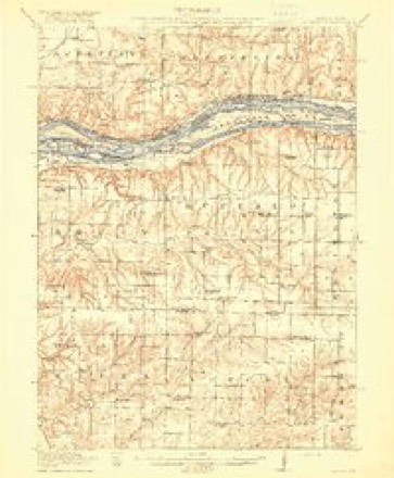
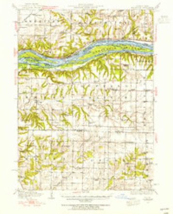
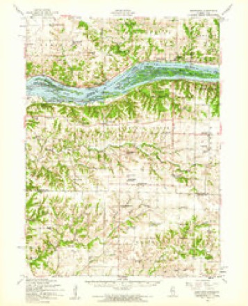
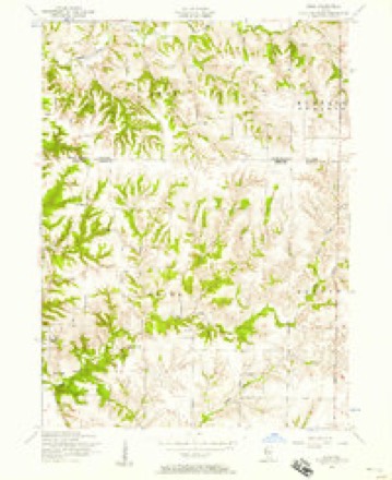
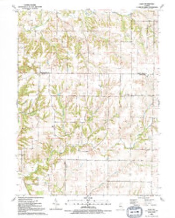
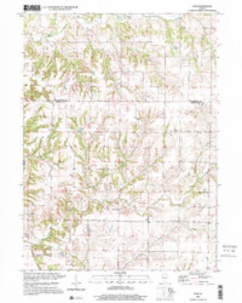
15 topographic sheets cover this place, the earliest surveyed in 1916 and the latest in 2000. It stands in Eliza Township. It lies in ZIP code area 61272. It stands on Irwin Branch. The Survey maps it on the Eliza quadrangle. 25 people lived here at the 2020 count. It stands 696 feet above sea level.
Topographic sheets covering this place
11 surveys from 15 printed sheetsMatched by testing this settlement's coordinate against the published boundary of every sheet in the United States Geological Survey's historical collection. Each opens the scanned sheet at the Survey.
- 1916 USGS Edgington quadrangle1:62500, 3 printings
- 1938 USGS Edgington quadrangle1:62500
- 1953 USGS Edgington quadrangle1:62500
- 1953 USGS Eliza quadrangle1:24000, 2 printings
- 1958 USGS Davenport quadrangle1:250000, 2 printings
- 1961 USGS Davenport quadrangle1:250000
- 1962 USGS Davenport quadrangle1:250000
- 1984 USGS Aledo quadrangle1:100000
- 1989 USGS Aledo quadrangle1:100000
- 1991 USGS Eliza quadrangle1:24000
- 2000 USGS Eliza quadrangle1:24000





In the county-history sources
15,071 words on this townshipHistory of Mercer County : Together with Biographical Matter, Statistics, Etc., Gathered from Mattter Furnished by the Mercer County Historical Society, Interviews with Old Settlers, County, Township and Other Records, and Extracts from Files of Papers, Pamphlets, and Such Other Sources As Have Been Available : Containing Also a Short History of Henderson County, published 1882 names this settlement in its chapter on Eliza Township. These are the passages that mention it, exactly as the scans read.
The soil of Eliza township is admirably adapted to agricultural purposes. The land lying on the southeast side of Eliza creek is mostly prairie, and is composed of rich black loam, with yellow and brown clay subsoil in places, which produces heavy crops of corn and other agricultural staples. The land lying north of the creek is undulating, and, near the bluft', quite hilly ; is mostly covered with timber, and is used for pasture, for which it supplies a fine growth of blue grass.
All that portion of land extending westward and nearest the river is of the finest quality, but owing to tlie exjiosure to ovei'ilow and the damp nature of the soil in seasons for y)lanting, is not farmed. It is covered with a heavy growth of tall coarse grass which makes line l>asture for cattle, hundreds of which are grazed upon it annuall}' and hundreds of tons of hay are made and stacked for winter use. The land nearer the bluff is of the finest grade, the soil being from five to ten feet deep, and susceptible of the highest state of cultivation, and in favorable seasons unaccom])anied by overfiow, has produced more corn })er acre than any other land in the country; but in seasons of extreme rtiiny weather in the northern states, it is subject to ovei-fiow, as was too truly the experience in that locality in the sj^ring and fall of 1881. After the farmers had planted their corn and it had grown a foot or more the land began to overfiow, and in the course of a few days crops were completely submerged in a vast sea of water extending from the blufi' to the Mississippi. Crops of all kinds were completely destroyed. Many cattle, horses and hogs were drowned and those only were saved that could be brought out on fiat-boats. The sudden and unexpected appearance of this fiood was without a parallel Xo the oldest inhabitants. The water reached a height equal to that of 1851, soon subsided and disappeared. The inhabitants were at first discouraged at the pros})ect for a crop that season, but they went to work re})laiiting their corn hoping to be favored by a long season to mature the second crop ; the second planting germinated and grew and so<jn looked better than the first. The season of 1881 being unfavorable for corn throughout the state, proved the best in this locality on account of the peculiar adaptability of the soil. The crop raised that season was the best in the county, but when harvest time came and the farmers were about to realize the results of their labor, with corn at sixty cents i)er bushel, a repetition of what had taken i)lace in the spring ensued ruining the crops and swee})ing away horses, cattle, hay and fences. No portion of land could be seen anywhere. Unlike the previous overfiow in the spring, the water was slow to pass ofi'and covered the land for two months, during which time, drawn there by the excellent feeding, the wild ducks swarmed in by the thousands, completely stripj)ing the corn that was standing out in the water. Sj)ortsmen came from all })arts of the state, the reports of whose guns sounded to the old soldier like a distant skirmish line. It has been estimated that during that season forty thousand ducks were killed and shi])ped from tluit ])lace to the large cities.
The lirst early settlers of Eliza, with but few exceptions, came from Indiana and, in most instances, brought their families with them, making the journey through the open prairie and enduring all the hardships incident to the times. There being at that time a few trading places at New Boston, that point was mostly aimed for on account of the freight and commercial advantages it then afforded. Another attraction was the timber along the bluff. The majority of these people having been raised in and adjacent to timber in the Ibrmer state, looked npon farming without the use of timber as impracticable, and without which they were unable to constrnct their rude log cabins and fence their farms.
Machine-read from a century-old scan, so expect the errors a machine makes: misspelled names, dropped words, stray characters.
Read the whole chapter on Eliza Township - it names this place 29 more 29 times.
Storms near this place
11 since 2004Regional context, not property-specific evidence. The National Weather Service names Eliza in 11 storm reports between 2004 and 2020: 7 flood, 2 flash flood, 1 tornado, 1 thunderstorm wind. No death or injury is recorded in these reports. Each account below is quoted exactly as the forecast office filed it, from the NOAA Storm Events Database, and each date opens the federal record of that event.
| When | Event | Place named | Harm | What the report says |
|---|---|---|---|---|
| May 2010 | Flash Flood | Eliza | $5,000,000 | Heavy rains resulted in widespread flash flooding of roads and highways across all of Mercer County, especially the eastern half during the morning of May 13. |
| April 2011 | Flood | Eliza | $250,000 | no account filed |
| July 2010 | Flood | Eliza | $125,000 | no account filed |
| April 2006 | Tornado (F1) | Eliza | $15,000 | Entered from Rock Island County |
| May 2004 | Flash Flood | Eliza | $3,000 | 1665 45th Street; water deep and moving fast across the road. |
| August 2020 | Thunderstorm Wind | Eliza | - | Widespread straight-line winds that produced extensive damage were reported throughout Mercer County, associated with a derecho. These winds lasted around an hour in total, even though the initial line of storms moved out fast. Damaging straight-line winds continued and were associated with the rear inflow jet. Maximum wind speeds were reported up to 80 mph These estimates were determined based off damage surveys and photos submitted through social media. These strong winds damaged many trees, crops, and a few structures in their path. |
| April 2019 | Flood | Eliza | - | The Mississippi River at Muscatine remained above its flood stage of 20.0 feet from late March and fell back below major flood stage on late in the evening of April 20th. The river crested at 21.9 feet on April 10th. |
| October 2018 | Flood | Eliza | - | Major flooding on the Mississippi River at the New Boston LD17 gage began at 11 AM, October 8th, when it exceeded 18.5 feet. It crested at 21.3 feet, 430 PM, October 13th, before falling below 18.5 feet, which is major flood stage, at 9 PM, October 22nd. ||In addition, just downstream, Major flooding on the Mississippi River at the Keithsburg, IL gage began at 6 AM, October 8th, when it exceeded 17 feet. It crested at 19.8 feet, 230 AM, October 14th, before falling below 17 feet, which is major flood stage, at 10 PM, October 23rd. |
| June 2014 | Flood | Eliza | - | Heavy rains during the second half of June resulted in the Mississippi River at New Boston, IL and Keithsburg, IL going above their respective major flood stage levels on the afternoon and evening of June 28. They crested about 5.5 to 6 feet above their major flooding levels on July 5. They fell below their major flood stage levels on July 14.||New Boston rose above its major flood stage level of 18.5 feet on June 28 around 10 pm CDT. It crested around 24.52 feet around 2 am CDT July 5. It fell below the major flood stage level around 2 am CDT July 14.||Keithsburg rose above its major flood stage level of 17 feet on June 28 around 1 pm CDT. It crested around 22.63 feet around 645 pm CDT July 5. It fell below the major flood stage level around 230 pm CDT July 14. |
| June 2008 | Flood | Eliza | - | The record crest on the Mississippi River at Keithsburg occurred on June 17, 2008 at 24.49 feet. Flood stage is 14 feet. |
| April 2013 | Flood | Eliza | - | no account filed |
Nearest settlements
The eight closest, with where each one stands in the county. Distances are straight-line, computed from the Geographic Names Information System coordinates.
| Map | Place | Distance | Sheets |
|---|---|---|---|
| Petersville | 1.9 miles | 15 | |
| Mannon | 4.5 miles | 15 | |
| Arpee | 7.9 miles | 15 | |
| Joy | 8.3 miles | 15 | |
| Millersburg | 8.8 miles | 15 | |
| New Boston | 8.8 miles | 15 | |
| Marston | 8.8 miles | 14 | |
| Hamlet | 12.4 miles | 18 |
Elsewhere
Matched on this settlement's Geographic Names Information System number rather than its name, so it cannot be a different place of the same name in another state.
| Wikipedia article on Eliza | An encyclopaedic summary. Its text is share-alike, so it is linked here rather than copied. |
| Wikidata item Q5362076 | The structured record the population and elevation above come from. Public domain (CC0). |
Provenance
This settlement is recorded in the Geographic Names Information System as feature 407865. The sheet list is computed by point-in-boundary test against the United States Geological Survey's historical topographic inventory. Both are works of the United States government and carry no copyright under 17 U.S.C. 105.
Storms. NOAA National Centers for Environmental Information, Storm Events Database https://www.ncei.noaa.gov/stormevents/ A work of the United States government, no copyright under 17 U.S.C. 105. Narratives are quoted verbatim from the National Weather Service report and are not edited or summarised.