 Block
Joy, Illinois
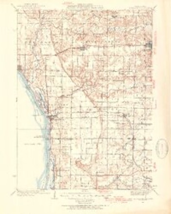
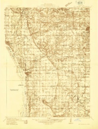
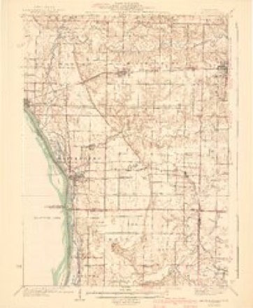
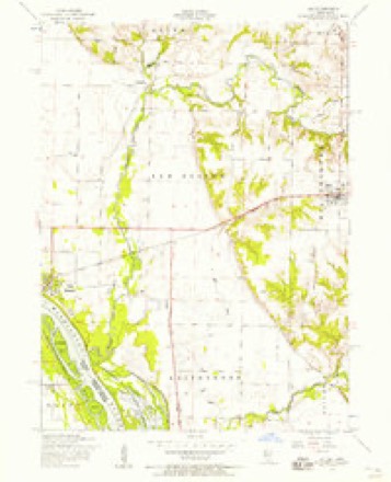
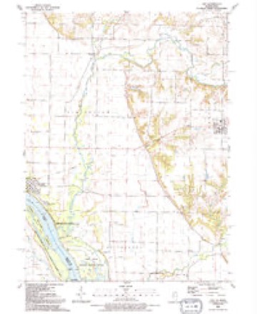
15 topographic sheets cover this place, the earliest surveyed in 1935 and the latest in 1991. It stands in Millersburg Township. It lies in ZIP code area 61260. The Survey maps it on the Joy quadrangle. 372 people lived here at the 2020 count. It stands 686 feet above sea level.
Population over time
2 figuresJoy fell from 417 to 372 between 2010 and 2020. These are the recorded population figures Wikidata holds for this place, reached through the Geographic Names Information System number this page is keyed on rather than by name, so they belong to this place and not to another of the same name. Most are census counts, but not all are: an early figure may be a founding or settlement estimate, and an estimate published within five years of a census is left out. The change column is computed, and is left blank where more than 20 years separate a figure from the one before it, because a gap that long is not a change between two counts.
| Year | People | Change |
|---|---|---|
| 2010 | 417 | |
| 2020 | 372 | -45 (-11%) |
Topographic sheets covering this place
10 surveys from 15 printed sheetsMatched by testing this settlement's coordinate against the published boundary of every sheet in the United States Geological Survey's historical collection. Each opens the scanned sheet at the Survey.
- 1935 USGS Keithsburg quadrangle1:62500, 3 printings
- 1935 USGS Keithsburg quadrangle1:48000
- 1941 USGS Keithsburg quadrangle1:62500, 2 printings
- 1953 USGS Joy quadrangle1:24000, 2 printings
- 1958 USGS Davenport quadrangle1:250000, 2 printings
- 1961 USGS Davenport quadrangle1:250000
- 1962 USGS Davenport quadrangle1:250000
- 1984 USGS Aledo quadrangle1:100000
- 1989 USGS Aledo quadrangle1:100000
- 1991 USGS Joy quadrangle1:24000





In the county-history sources
3,896 words on this townshipPast and Present of Mercer County, Illinois, published 1914 names this settlement in its chapter on Millersburg Township. These are the passages that mention it, exactly as the scans read.
John Farran. At an early date Hiram W. Thornton purchased nearly all the lots in Millersburg and later had part of them vacated and merged into his farm. After 1848 Mr. Thornton quit practicing law and at first became a merchant. He became a member of the Legislature, county recorder, had a large library and was prominent, able and influential. He became connected with the Warsaw & Rockford Railroad, which was projected across the county from Millersburg to Keithsburg. In the end he became president of the road and about 1854-5 'le bought the Beason Farm about one mile east of the present site of Joy and laid out the village which he called Monroe. It was located at the proposed junction of this road and the present C. B. & Q. Line. The former road not being built, Joy was established a short distance to the eastward and has become a promising little city. Thornton in the end lost the Beason property. His family were useful and prominent. His daughter during the war probably did more to aid the soldiers in the hospitals than any other lady in the county. Early in the '50s a strong temperance movement took root at Millersburg and was largely sustained by the Thorntons. Several lodges were established there and elsewhere in the township with a large membership. At Millersburg the educational reform movement in 1857-8 was conducted with vigor and great success. The churches were excellent in early times and the workers were active in visiting homes and inducing the parents to become members. Charity movements were instituted in the churches of Millersburg as earlv as 1840.
Passage source: Past and Present of Mercer County, Illinois, published 1914.
In 1894 Millersburg boasted of its fine schoolhouse with two teachers, its three large, commodious and well attended churches, several prosperous merchants, one harness maker and its clubs, societies and leagues. The Children's Epworth League was a prominent organization at this date. A little later the Home Forum Association had great influence in this community. Its president was J. T. Gilmore. It met in Van Tuyle's Hall. By 1895 the Mercer County Creamery at Millersburg was an important industry. It was one of the first, if not the first, to run all the year round. Mr. Henry was manager. In 1894 they shipped 1,100 tubs of butter, having a total weight of 66,000 pounds; 250 cases of eggs, the receipts being about $14,000. In July, 1896, Col. Hiram W. Thornton died at his home here. All things considered, he was unquestionably one of the most prominent and useful citizens of the county. In recent years the Harvest Home Association has become prominent with its social work and its picnics. In August, 1899, 1,500 people assembled and enjoyed an instructive and delightful program. Present were the Joy Band and the Millersburg Glee Club. The orators were Reverend Kile, Rev. J. O. Slyter, Reverend Fleming and Rev. J. A. Alford. On this occasion the ladies served thirty-five gallons of free coffee, and conducted two stands of refreshments.
Passage source: Past and Present of Mercer County, Illinois, published 1914.
On May 11, 1908, Millersburg came near being entirely swept out of existence by a tornado. The whole south part of the village was wrecked and destroyed. The path of the storm was from two hundred feet to two hundred yards wide and everything therein was torn to pieces. In all twenty-one houses were either blown away or damaged. Sixteen barns were damaged or torn to pieces. Among the damages were the following: Presbyterian Church blown away, $7,000; Presbyterian parsonage wrecked, $1,500; Reverend Wyllie's household goods ruined, $500; L. B. Turner's house and barn damaged, $400; Thomas McAfee's house and two barns destroyed, $4,000; H. Felton's house damaged, $1,000; J. T. Gilmore's house damaged, $500; John Cady's house blown away and other damages, $400; N. W. Thornton damage to property, $200; Will Wakeland's house blown away, $300; Sarah Thornton's house damaged, $300. On all of the above there was no insurance. But there was insurance in part on the following losses: L. R. Hyatt, two houses and three barns damaged, $3,000; George Bristlime's house damaged, $800; J. U. Roberts' store wrecked, $300; G. S. Thornton's house and barn damaged, $3,600; T. M. Duncan's house and barn damaged, $1,700; Mrs. J. N. Close's house destroyed, $700; E. R. Gilmore's house and barn damaged, $1,100; W. A. Vetter's house damaged, $700; W. W. Wakeland's house and shop damaged, $ 1 ,000 ; R. A. Turner's store damaged, $2,800; M. D. Murdock's house blown away, $1,500; Steve Miller's damage to restaurant, $500. Not a life was lost, singular as it may seem. Articles of various kinds were carried in many instances many miles. There were many narrow escapes. The same storm passed directly over Joy but was too high to do damage. The country districts in the path of the storm were devastated and many houses and barns were wrecked.
Passage source: Past and Present of Mercer County, Illinois, published 1914.
Machine-read from a century-old scan, so expect the errors a machine makes: misspelled names, dropped words, stray characters.
Read the whole chapter on Millersburg Township - it names this place 5 more 5 times.
Storms near this place
10 since 1997Regional context, not property-specific evidence. The National Weather Service names Joy in 10 storm reports between 1997 and 2020: 5 thunderstorm wind, 3 hail, 1 heavy rain, 1 tornado. No death or injury is recorded in these reports. Each account below is quoted exactly as the forecast office filed it, from the NOAA Storm Events Database, and each date opens the federal record of that event.
| When | Event | Place named | Harm | What the report says |
|---|---|---|---|---|
| April 2003 | Hail | Joy | $350,000 | no account filed |
| April 2006 | Thunderstorm Wind | Joy | $250,000 | Numerous trees and power lines were downed in Joy. Westmer High School had considerable roof damage done to the gymnasium. The outer roof of the Frontier Communications Building was peeled off. A mobile home just north of Joy was destroyed. |
| July 2020 | Thunderstorm Wind | Joy | - | Social media report of flattened corn. |
| November 2020 | Tornado (EF1) | Joy | - | A tornado touched down southwest of Joy, destroying an outbuilding. This tornado followed an intermittent path about 14 miles through Mercer County, exiting the county about 3 miles west of Reynolds. The tornado was rated EF-1 in Mercer County, with maximum winds around 100 mph. Occasional tree damage was observed between Joy and Hamlet. |
| November 2020 | Thunderstorm Wind | Joy | - | Power poles snapped off along highway 17, east of Joy. Large trees with limbs torn off, along with fences blown down in the town of Joy. Also, reports of buildings destroyed south of Joy. Time of the event was estimated by radar. |
| March 2006 | Hail | Joy | - | nickel to quarter sized hail |
| May 2004 | Heavy Rain | Joy | - | Water ponded at junction of IL 17 and 100th Street |
| June 1999 | Thunderstorm Wind | Joy | - | Power poles and numerous tree limbs were downed. |
| July 2013 | Hail | Joy | - | no account filed |
| April 1997 | Thunderstorm Wind | Joy | - | no account filed |
Nearest settlements
The eight closest, with where each one stands in the county. Distances are straight-line, computed from the Geographic Names Information System coordinates.
| Map | Place | Distance | Sheets |
|---|---|---|---|
| Arpee | 3.7 miles | 15 | |
| Millersburg | 4.5 miles | 15 | |
| Mannon | 4.7 miles | 15 | |
| Ogle | 6.2 miles | 13 | |
| New Boston | 6.4 miles | 15 | |
| Petersville | 6.5 miles | 15 | |
| Aledo | 7.0 miles | 12 | |
| Keithsburg | 7.5 miles | 13 |
Elsewhere
Matched on this settlement's Geographic Names Information System number rather than its name, so it cannot be a different place of the same name in another state.
| Wikipedia article on Joy | An encyclopaedic summary. Its text is share-alike, so it is linked here rather than copied. |
| Wikidata item Q2672207 | The structured record the population and elevation above come from. Public domain (CC0). |
Provenance
This settlement is recorded in the Geographic Names Information System as feature 411264. The sheet list is computed by point-in-boundary test against the United States Geological Survey's historical topographic inventory. Both are works of the United States government and carry no copyright under 17 U.S.C. 105.
Storms. NOAA National Centers for Environmental Information, Storm Events Database https://www.ncei.noaa.gov/stormevents/ A work of the United States government, no copyright under 17 U.S.C. 105. Narratives are quoted verbatim from the National Weather Service report and are not edited or summarised.