 Block
Petersville, Illinois
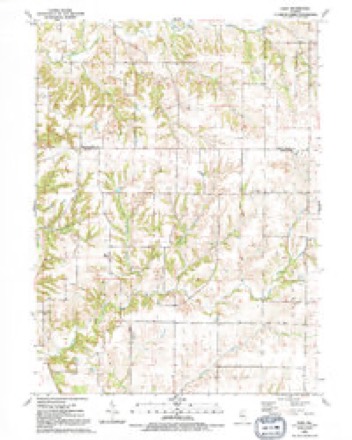
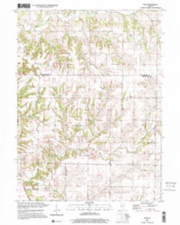
15 topographic sheets cover this place, the earliest surveyed in 1916 and the latest in 2000. It stands in Eliza Township. It lies in ZIP code area 61260. It stands on Yankee Branch. The Survey maps it on the Eliza quadrangle. It stands 669 feet above sea level.
Topographic sheets covering this place
11 surveys from 15 printed sheetsMatched by testing this settlement's coordinate against the published boundary of every sheet in the United States Geological Survey's historical collection. Each opens the scanned sheet at the Survey.
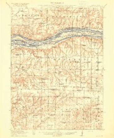
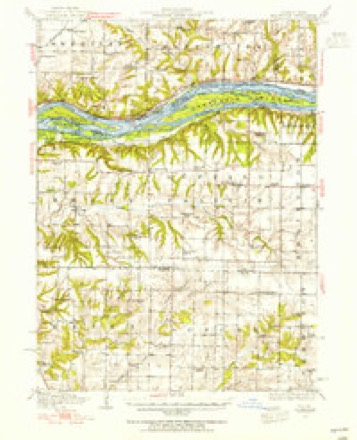
- 1916 USGS Edgington quadrangle1:62500, 3 printings
- 1938 USGS Edgington quadrangle1:62500
- 1953 USGS Edgington quadrangle1:62500
- 1953 USGS Eliza quadrangle1:24000, 2 printings
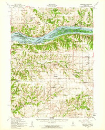
- 1958 USGS Davenport quadrangle1:250000, 2 printings
- 1961 USGS Davenport quadrangle1:250000
- 1962 USGS Davenport quadrangle1:250000
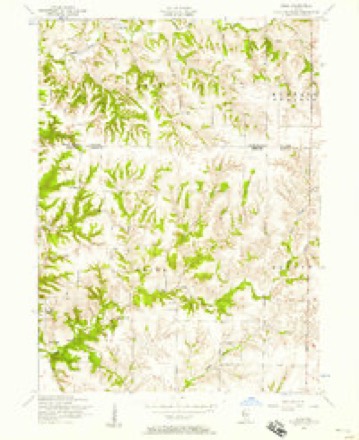
- 1984 USGS Aledo quadrangle1:100000
- 1989 USGS Aledo quadrangle1:100000
- 1991 USGS Eliza quadrangle1:24000
- 2000 USGS Eliza quadrangle1:24000





In the county-history sources
15,071 words on this townshipHistory of Mercer County : Together with Biographical Matter, Statistics, Etc., Gathered from Mattter Furnished by the Mercer County Historical Society, Interviews with Old Settlers, County, Township and Other Records, and Extracts from Files of Papers, Pamphlets, and Such Other Sources As Have Been Available : Containing Also a Short History of Henderson County, published 1882 names this settlement in its chapter on Eliza Township. These are the passages that mention it, exactly as the scans read.
The first mill built in the township was by Rezin Pratt and John IL Mannon, about 1837. It was situated just above Daniel Noble's, and was built about 184-1-, or 1845. This was a grist mill, and disai)peared years ago. No other mill has since taken its jjlace, owing to an insufficient body of water of late years to run one. A saw mill, built by Rezin Pratt and E. Esley, stood on the same stream, a little below ^Ir. Koble's, and was built somewhat later; no remains of it can be seen there now. The mill was a large one and was well patronizetl at tlie time. For a long time after this mill ceased running there was no other mill in the township, until about 1864, when a steam saw mill was erected by Jesse Bogart. which, for the want of jtatronage, did not do much business. A steam grist mill for grinding feed was started on section IT. bv J. C Achisoii. Before the establishment of the first mill in the township, the inhabitants, having then to go as far as J^ortli Henderson and Monmouth, one man would generally do the business for several of his neighbors ; he was usually detained fi'oni six to ten days, according to the stage of water and the number of jjersons ahead awaiting their turn. They usually started with a supply of rations and feed for an emergency. The teams quartered about these mills gave the place the appearance of a camp-meeting ground.
Machine-read from a century-old scan, so expect the errors a machine makes: misspelled names, dropped words, stray characters.
Nearest settlements
The eight closest, with where each one stands in the county. Distances are straight-line, computed from the Geographic Names Information System coordinates.
| Map | Place | Distance | Sheets |
|---|---|---|---|
| Eliza | 1.9 miles | 15 | |
| Mannon | 3.5 miles | 15 | |
| Joy | 6.5 miles | 15 | |
| Arpee | 6.7 miles | 15 | |
| Millersburg | 6.9 miles | 15 | |
| Marston | 7.5 miles | 14 | |
| New Boston | 8.1 miles | 15 | |
| Gingle Corners | 10.8 miles | 18 |
Elsewhere
Matched on this settlement's Geographic Names Information System number rather than its name, so it cannot be a different place of the same name in another state.
| Wikipedia article on Petersville | An encyclopaedic summary. Its text is share-alike, so it is linked here rather than copied. |
| Wikidata item Q7178282 | The structured record the population and elevation above come from. Public domain (CC0). |
Provenance
This settlement is recorded in the Geographic Names Information System as feature 423065. The sheet list is computed by point-in-boundary test against the United States Geological Survey's historical topographic inventory. Both are works of the United States government and carry no copyright under 17 U.S.C. 105.