 Block
Mannon, Illinois
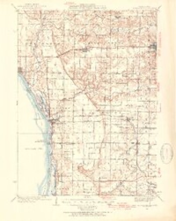
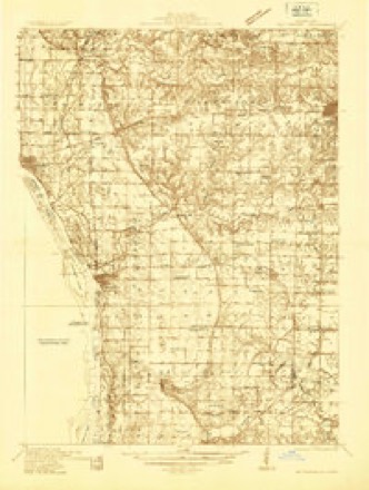
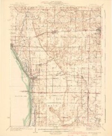
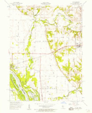
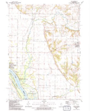
15 topographic sheets cover this place, the earliest surveyed in 1935 and the latest in 1991. It stands in New Boston Township. It lies in ZIP code area 61272. It stands on Winters Creek. The Survey maps it on the Joy quadrangle. It stands 577 feet above sea level.
Topographic sheets covering this place
10 surveys from 15 printed sheetsMatched by testing this settlement's coordinate against the published boundary of every sheet in the United States Geological Survey's historical collection. Each opens the scanned sheet at the Survey.
- 1935 USGS Keithsburg quadrangle1:62500, 3 printings
- 1935 USGS Keithsburg quadrangle1:48000
- 1941 USGS Keithsburg quadrangle1:62500, 2 printings
- 1953 USGS Joy quadrangle1:24000, 2 printings
- 1958 USGS Davenport quadrangle1:250000, 2 printings
- 1961 USGS Davenport quadrangle1:250000
- 1962 USGS Davenport quadrangle1:250000
- 1984 USGS Aledo quadrangle1:100000
- 1989 USGS Aledo quadrangle1:100000
- 1991 USGS Joy quadrangle1:24000





What happened here
An account from the chapter on New Boston township. The inset identifies its exact source book and publication year.
Iay Island Lilie
In 1 88 1 during the flood Bay Island was seriously damaged. William Drury of this township owned a large park, in which he kept elk, deer and buffalo. On one occasion an elk killed one of his valuable colts, estimated to be worth about five hundred dollars. Ballard's Hall was finished and ready for use in December, 1 88 1 .
In the county-history sources
85,538 words on this townshipHistory of Mercer County : Together with Biographical Matter, Statistics, Etc., Gathered from Mattter Furnished by the Mercer County Historical Society, Interviews with Old Settlers, County, Township and Other Records, and Extracts from Files of Papers, Pamphlets, and Such Other Sources As Have Been Available : Containing Also a Short History of Henderson County, published 1882 names this settlement in its chapter on New Boston Township. These are the passages that mention it, exactly as the scans read.
Tlie township of New Boston embraces congressional to-^aiship 14 north, and ranges 5 and 6 west, extending to the Mississippi river. The eastern part is undulating and contains a depth and richness of soil unexcelled in the county. The westeiTi part of the township is level, containing a narrow strip of sandy soil, in some places almost destitute of vegetation ; between this strip and the undulating region of the east the bottom land is extremely fertile and })roduces heavy crops.
To Mr. William Denison and his son John W. belong the honor of planting the first settlement in the township, as well as in the county. They were Pennsylvanians, and came directly fi-om Wa}Tie county, Indiana, ha%nng previously lived for a short time in Ohio. They settled near the site of the present town of New Boston in ] 827, and there lived in close and friendly relations with the Indians who at that time frequented the place. The \'icinity offered many attractions to the Indians in the shape of hunting and fishing ; and, indeed, at the present time it has more than a local celebrity in this respect.
Let the reader pause here a moment and call to aid his imagination in picturing a settlement of this kind. On the one hand a boundless waste of prairie, covered with tall waving grass, which sinks and rises with a billow}- motion, as far as the eye can reach. On the other lumd the great Father of "Waters, spread out in silent majesty, or lashed to fiiry by the untrammeled winds which sometimes sweep over the ])lains from the west. Here was to be found the savage in his native wildness. Here he smoked his pipe of peace or hallooed his wnld war-dance. And here was started the first settlement of what was to be, at a tuture time, one of the myriads of fair towns that dot the broad State of Blinois.
Machine-read from a century-old scan, so expect the errors a machine makes: misspelled names, dropped words, stray characters.
Read the whole chapter on New Boston Township - it names this place 7 more 7 times.
Storms near this place
5 since 2006Regional context, not property-specific evidence. The National Weather Service names Mannon in 5 storm reports between 2006 and 2025: 4 tornado, 1 hail. No death or injury is recorded in these reports. Each account below is quoted exactly as the forecast office filed it, from the NOAA Storm Events Database, and each date opens the federal record of that event.
| When | Event | Place named | Harm | What the report says |
|---|---|---|---|---|
| April 2006 | Tornado (F1) | Mannon | $50,000 | Rated F1 |
| May 2015 | Tornado (EF2) | Mannon | $30,000 | Official NWS storm survey team found that the tornado moved northeast with peak winds around 115 mph. It damaged mainly trees and outbuildings along its path. The worst damage was near the beginning of the path, where a large machine shed was completely destroyed, 2 garages were destroyed, and a house partially un-roofed. Witnesses described a blinding rain accompanied the tornado. |
| March 2006 | Hail | Mannon | $5,000 | Nickel to quarter sized hail. |
| June 2025 | Tornado (EF1) | Mannon | - | This long-lived EF1 tornado began west of the town of Joy and tracked through Millersburg and ended about a mile and a half west of Illinois 94. Significant damage to numerous trees as well as utility poles, along with minor outbuilding damage. |
| August 2022 | Tornado (EFU) | Mannon | - | A chaser reported that a funnel cloud lasted 2 minutes at this location and eventually touched down briefly. There is photo and eyewitness evidence of the brief ground based rotation. The tornado is rated an EF-U. |
Nearest settlements
The eight closest, with where each one stands in the county. Distances are straight-line, computed from the Geographic Names Information System coordinates.
| Map | Place | Distance | Sheets |
|---|---|---|---|
| Arpee | 3.4 miles | 15 | |
| Petersville | 3.5 miles | 15 | |
| Eliza | 4.5 miles | 15 | |
| Joy | 4.7 miles | 15 | |
| New Boston | 4.7 miles | 15 | |
| Millersburg | 7.4 miles | 15 | |
| Keithsburg | 9.1 miles | 13 | |
| Ogle | 9.4 miles | 13 |
Elsewhere
Matched on this settlement's Geographic Names Information System number rather than its name, so it cannot be a different place of the same name in another state.
| Wikipedia article on Mannon | An encyclopaedic summary. Its text is share-alike, so it is linked here rather than copied. |
| Wikidata item Q6750931 | The structured record the population and elevation above come from. Public domain (CC0). |
Provenance
This settlement is recorded in the Geographic Names Information System as feature 422933. The sheet list is computed by point-in-boundary test against the United States Geological Survey's historical topographic inventory. Both are works of the United States government and carry no copyright under 17 U.S.C. 105.
Storms. NOAA National Centers for Environmental Information, Storm Events Database https://www.ncei.noaa.gov/stormevents/ A work of the United States government, no copyright under 17 U.S.C. 105. Narratives are quoted verbatim from the National Weather Service report and are not edited or summarised.