 Block
Somonauk, Illinois
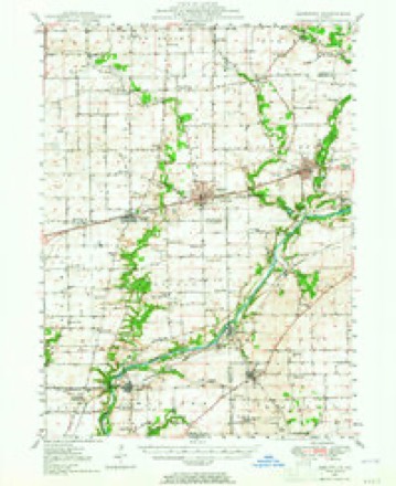
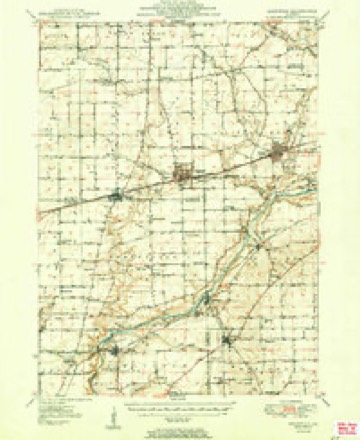
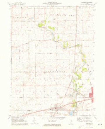
9 topographic sheets cover this place, the earliest surveyed in 1948 and the latest in 1985. It stands in Somonauk Township. It lies in ZIP code area 60552. The Survey maps it on the Somonauk quadrangle.
Topographic sheets covering this place
6 surveys from 9 printed sheetsMatched by testing this settlement's coordinate against the published boundary of every sheet in the United States Geological Survey's historical collection. Each opens the scanned sheet at the Survey.
- 1948 USGS Sandwich quadrangle1:62500
- 1950 USGS Sandwich quadrangle1:62500, 2 printings
- 1958 USGS Aurora quadrangle1:250000, 3 printings
- 1961 USGS Aurora quadrangle1:250000
- 1971 USGS Somonauk quadrangle1:24000
- 1985 USGS Aurora quadrangle1:100000



In the county-history sources
3,260 words on this townshipPortrait and Biographical Album of DeKalb County, Illinois : Containing Full-page Portraits and Biographical Sketches of Prominent and Representative Citizens of the County : Together with Portraits and Biographies of All the Governors of Illinois, and of the Presidents of the United States : Also Containing a History of the County, from Its Earliest Settlement to the Present Time, published 1885 names this settlement in its chapter on Somonauk Township. These are the passages that mention it, exactly as the scans read.
HIS township lies in"the southeast corner of the county, with Kendall County on the east, La Salle on the south, Squaw Grove Township on the north, and Victor on the west. It has a good supply of timber along the banks of Somanauk Creek, with which it is well watered. The Chicago, Burlington & Quincy Railroad passes through the southern portion of the township, through the city of Sandwich and village of Somonauk.
The first permanent settler of the township was Reuben Root, who first located on section 35, the place now owned by David V. Kinney. He sold this claim to Mr. Davis in the summer of 1835, and moved a little farther north, occupying a house which some years after became the property of Mr. Beveridge, and which it is said was erected some time in 1834, and occupied in the winter of 1834-5, by a Mr. Robinson. The exact date of Mr. Root's settlement is not known, but supposed to be in February, 1835. He was living on the Davis place when William Poplin arrived in March, 1835. Reuben Root was a native of New York. For some years he kept a tavern and was the first postmaster of Somonauk. Selling his claim here, he moved west and has since died.
Willliam Poplin was doubtless the second to locate on Somonauk Creek, in this township. He arrived here, as stated, in March, 1835, made a claim, erected his cabin, and made other improvements the same year. His selection was a wise one, and with his " good wife " he yet resides upon the old homestead, where they have spent a full 50 years.
Machine-read from a century-old scan, so expect the errors a machine makes: misspelled names, dropped words, stray characters.
Read the whole chapter on Somonauk Township - it names this place 13 more 13 times.
Storms near this place
17 since 1995Regional context, not property-specific evidence. The National Weather Service names Somonauk in 17 storm reports between 1995 and 2026: 9 thunderstorm wind, 5 hail, 1 flood, 1 heavy rain. No death or injury is recorded in these reports. Each account below is quoted exactly as the forecast office filed it, from the NOAA Storm Events Database, and each date opens the federal record of that event.
| When | Event | Place named | Harm | What the report says |
|---|---|---|---|---|
| February 2024 | Hail | Somonauk | - | Public reported 1 hail near the intersection of Council Rd and Suydam Rd northwest of Somonauk. |
| February 2024 | Hail | Somonauk | - | A report of 1.25 hail was relayed via mPING. |
| August 2021 | Thunderstorm Wind | Somonauk | - | Part of a large tree was snapped off. |
| August 2020 | Thunderstorm Wind | Somonauk | - | Several trees were blown down, a grain bin was damaged and the roof of a shed was blown off. |
| August 2020 | Thunderstorm Wind | Somonauk | - | Widespread tree damage occurred in Somonauk with a few trees snapped very near their base and minor damage to houses, consisting mainly of a few shingles blown off. |
| November 2020 | Tornado (EF0) | Somonauk | - | A tornado with peak winds of 80 mph touched down near Route 23 northwest of the town of Somonauk and traveled northeast mainly through farm fields. A grain silo was damaged near the intersection of Somonauk and Bastian Roads, and damage to trees and powerlines was observed along the path of the tornado. The tornado appeared to end near Route 30 just southeast of Hinckley. The path of this tornado was determined based on input from spotters, emergency management and using radar data. |
| June 2020 | Thunderstorm Wind | Somonauk | - | Wind gusts to at least 60 mph were reported just north of Somonauk. |
| June 2020 | Thunderstorm Wind | Somonauk | - | A one to two foot diameter tree was blown down blocking a road. |
| September 2018 | Heavy Rain | Somonauk | - | Rainfall of 1.00 inches was measured in nine minutes. |
| October 2017 | Flood | Somonauk | - | Two feet of water was reported on Route 34. |
| May 2016 | Thunderstorm Wind | Somonauk | - | Around two dozen trees blown over or split. One tree was 5 feet in diameter. One tree down on house and cars. Time of occurrence was estimated from radar. |
| March 2026 | Hail | Somonauk | - | no account filed |
| July 2023 | Thunderstorm Wind | Somonauk | - | no account filed |
| March 2017 | Thunderstorm Wind | Somonauk | - | no account filed |
| May 2003 | Thunderstorm Wind | Somonauk | - | no account filed |
| May 1995 | Hail | Somonauk | - | no account filed |
| May 1995 | Hail | Somonauk | - | no account filed |
Nearest settlements
The eight closest, with where each one stands in the county. Distances are straight-line, computed from the Geographic Names Information System coordinates.
Provenance
This settlement is recorded in the Geographic Names Information System as feature 422083. The sheet list is computed by point-in-boundary test against the United States Geological Survey's historical topographic inventory. Both are works of the United States government and carry no copyright under 17 U.S.C. 105.
Storms. NOAA National Centers for Environmental Information, Storm Events Database https://www.ncei.noaa.gov/stormevents/ A work of the United States government, no copyright under 17 U.S.C. 105. Narratives are quoted verbatim from the National Weather Service report and are not edited or summarised.