 Block
Middleboro, Indiana
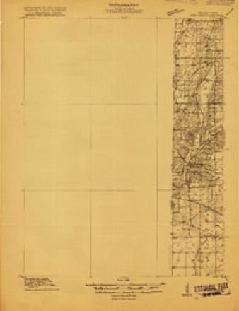
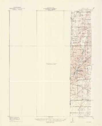
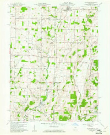
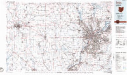
11 topographic sheets cover this place, the earliest surveyed in 1915 and the latest in 1986. It stands in Wayne Township. It lies in ZIP code area 47374. It stands on Boro Brook. The Survey maps it on the Whitewater quadrangle. It stands 1,033 feet above sea level.
Topographic sheets covering this place
6 surveys from 11 printed sheetsMatched by testing this settlement's coordinate against the published boundary of every sheet in the United States Geological Survey's historical collection. Each opens the scanned sheet at the Survey.
- 1915 USGS New Paris quadrangle1:48000
- 1918 USGS New Paris quadrangle1:62500
- 1953 USGS Cincinnati quadrangle1:250000, 3 printings
- 1957 USGS Cincinnati quadrangle1:250000
- 1960 USGS Whitewater quadrangle1:24000, 3 printings
- 1986 USGS Dayton quadrangle1:100000, 2 printings


In the county-history sources
58,967 words on this townshipHistory of Wayne County, Indiana, from Its First Settlement to the Present Time : with Numerous Biographical and Family Sketches, published 1872 names this settlement in its chapter on Wayne Township. These are the passages that mention it, exactly as the scans read.
Nathaniel McClure, Sen., settled early on land now owned by his heirs and Judge Holland. jSTathaniel McClure, Jun., on the south line; land now owned by his heirs. James East and Widow Davidson bought the quarter now owned by George Grimes' heirs. John Dugan, Sen., the quarter, a part of which is owned by Charles Paully, the other part occupied by Joseph Brown. Mark Kirby, from Del., settled, in 1829, 3 miles south-east from Richmond, where the widow of bis son Edward lives. Samuel Holmes settled on the land now owned by Walker Holmes, 2| miles south-east from Richmond. E"athan Small settled where S. Kirby lives. Wra. Edwards and Benj. Small on the land now owned by C. Hageman, 4 miles south-east from Richmond. James Brown and John Walker settled on the lands now owned by Ira Moore and his son Benjamin, on the east line of the township.
Passage source: History of Wayne County, Indiana, from Its First Settlement to the Present Time : with Numerous Biographical and Family Sketches, published 1872.
Seth Cook, from Carolina, settled 2 miles south from Middleboro', near where his son Elijah Cook and R. Commons reside. Harvey Cook, son of Amos Cook, next nortli of Elijah Cook. Amos is a brother of Elias. AVm. Bond settled on and near the lands, a mile below Middleboro", now owned by James F. Iverlin, Hugh Moffitt, and E. Jeifeis. AVm. Brown, where Joel Railsback resides, 2h miles north of Richmond. Abner Clawson, where Elihu Williams lives. Josiah Clawson, on land now owned l)y Hugh Moffitt and M. ^Vessels, 2h miles north-east from Richmond.
Passage source: History of Wayne County, Indiana, from Its First Settlement to the Present Time : with Numerous Biographical and Family Sketches, published 1872.
Grave Families. - Four brothers Grave, from Delaware, in 1816, settled in the north-east part of Wayne township. 1. Jonathan settled on land formerly owned by Tabitha AVhite, adjoining Middleborough, west side, and died about 1824. He had five sons and two daughters. Of these, Allen lives in Minnesota ; David T. died in Richmond, 1869 ; "Warner resides on the homestead. Howell, who was engaged at farming in New Garden many j^ears, has been for ten years, and is now, an iron merchant in Richmond. 2. Enos settled about 2 miles south of Jonathan, where Rollin T. Reed now resides ; taught school at times, and held the office of county commissioner. He had four sons and two daughters. Kersey Grave, probably the only survivor, resides at the old home of his father. 3. Jacob settled two miles south-east from Jonathan. John Clawson now lives in the old house. Sons of Jacob Grave were, Milton, residence unknown ; Curtis, lately hardware merchant in Richmond, and Levi, live in Randolph Co. ; Joseph C.,at Whitewater. Martha, a daugliter, wife of Elihu Cox, and had several daughters. 4. Nathan settled about 2^ miles nearly south of Middleboro', where his son Wm. resides. He had, by his first wife, three sons, and one by his second; namely, Stephen, a farmer in Montgomery Co. ; John L., who died in California; Pasey, now a judge in Kansas, formerly a clerk of the courts ; William, \vho resides on the old homestead.
Passage source: History of Wayne County, Indiana, from Its First Settlement to the Present Time : with Numerous Biographical and Family Sketches, published 1872.
Machine-read from a century-old scan, so expect the errors a machine makes: misspelled names, dropped words, stray characters.
Read the whole chapter on Wayne Township - it names this place 5 more 5 times.
Mines and quarries near this place
5 within 5 milesRegional context, not property-specific evidence. The federal mineral resources record lists 5 workings within 5 miles of Middleboro: 3 producers, 2 past producers. 3 still produce. What was taken out: Sand and Gravel, Construction, Stone, Crushed/Broken. Distance is straight-line from the map coordinates, so a quarry counted here may appear on a neighbouring settlement's page as well.
| Where | Site | Commodity | Status | Recorded |
|---|---|---|---|---|
| Middleboro Stone Quarry | Stone, Crushed/Broken | Producer | ||
| Springfield Limestone Quarry #223 | Stone, Crushed/Broken | Producer | ||
| Middleboro Pit and Mill | Sand and Gravel, Construction | Producer | ||
| New Paris Pit | Sand and Gravel, Construction | Past Producer | ||
| Richmond - #418 | Sand and Gravel, Construction | Past Producer |
Nearest settlements
The eight closest, with where each one stands in the county. Distances are straight-line, computed from the Geographic Names Information System coordinates.
| Map | Place | Distance | Sheets |
|---|---|---|---|
| Chester | 3.0 miles | 9 | |
| Whitewater | 3.5 miles | 11 | |
| Spring Grove | 4.6 miles | 10 | |
| Spring Grove Heights | 4.7 miles | 10 | |
| Wayne | 5.0 miles | 9 | |
| Richmond | 5.4 miles | 10 | |
| Webster | 6.0 miles | 9 | |
| Fountain City | 6.2 miles | 9 |
Elsewhere
Matched on this settlement's Geographic Names Information System number rather than its name, so it cannot be a different place of the same name in another state.
| Wikipedia article on Middleboro | An encyclopaedic summary. Its text is share-alike, so it is linked here rather than copied. |
| Wikidata item Q10977793 | The structured record the population and elevation above come from. Public domain (CC0). |
Provenance
This settlement is recorded in the Geographic Names Information System as feature 439111. The sheet list is computed by point-in-boundary test against the United States Geological Survey's historical topographic inventory. Both are works of the United States government and carry no copyright under 17 U.S.C. 105.
Mines and quarries. USGS Mineral Resources Data System (MRDS) https://mrdata.usgs.gov/mrds/ A work of the United States government, no copyright under 17 U.S.C. 105.