 Block
Walters, Minnesota
8 topographic sheets cover this place, the earliest surveyed in 1954 and the latest in 1985. It stands in Foster Township. It lies in ZIP code area 56097. The Survey maps it on the Kiester quadrangle. 69 people lived here at the 2020 count. It stands 1,260 feet above sea level.
On record in Walters
Buildings and businesses the archive holds for this place. Each opens its own page, with the source record it came from.
On the National Register 1 record
- Walters Jaillisted 1980
Population over time
2 figuresWalters fell from 73 to 69 between 2010 and 2020. These are the recorded population figures Wikidata holds for this place, reached through the Geographic Names Information System number this page is keyed on rather than by name, so they belong to this place and not to another of the same name. Most are census counts, but not all are: an early figure may be a founding or settlement estimate, and an estimate published within five years of a census is left out. The change column is computed, and is left blank where more than 20 years separate a figure from the one before it, because a gap that long is not a change between two counts.
| Year | People | Change |
|---|---|---|
| 2010 | 73 | |
| 2020 | 69 | -4 (-5%) |
Topographic sheets covering this place
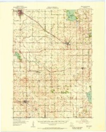
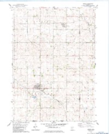
6 surveys from 8 printed sheetsMatched by testing this settlement's coordinate against the published boundary of every sheet in the United States Geological Survey's historical collection. Each opens the scanned sheet at the Survey.
- 1954 USGS Mason City quadrangle1:250000, 2 printings
- 1955 USGS Wells quadrangle1:62500
- 1957 USGS Mason City quadrangle1:250000
- 1958 USGS Mason City quadrangle1:250000
- 1982 USGS Kiester quadrangle1:24000
- 1985 USGS Albert Lea quadrangle1:100000, 2 printings




In the county-history sources
1,434 words on this townshipThe History of Faribault County, Minnesota : from Its First Settlement to the Close of the Year 1879 : the Story of the Pioneers, published 1896 has no passage naming this settlement, which was common for smaller places. Its township is covered in full.
The chapter on Foster Township covers the township.
Read the chapter on Foster Township - 1,434 words.
Mines and quarries near this place
1 within 5 milesRegional context, not property-specific evidence. The federal mineral resources record lists 1 working within 5 miles of Walters: 1 producer. All of them still produce. What was taken out: Sand and Gravel, Construction. Distance is straight-line from the map coordinates, so a quarry counted here may appear on a neighbouring settlement's page as well.
| Where | Site | Commodity | Status | Recorded |
|---|---|---|---|---|
| Kluender Pit & Mill | Sand and Gravel, Construction | Producer |
Storms near this place
16 since 1997Regional context, not property-specific evidence. The National Weather Service names Walters in 16 storm reports between 1997 and 2025: 5 tornado, 5 hail, 3 funnel cloud, 3 thunderstorm wind. No death or injury is recorded in these reports. Each account below is quoted exactly as the forecast office filed it, from the NOAA Storm Events Database, and each date opens the federal record of that event.
| When | Event | Place named | Harm | What the report says |
|---|---|---|---|---|
| June 2009 | Tornado (EF0) | Walters | $1,000 | Tornado moved through a corn field, occasionally touching down, then blew the lids off the top of two grain bins, crossed Highway 22, and dissipated in a corn field. |
| June 2025 | Tornado (EF0) | Walters | - | A tornado was caught on video in Faribault County, just north of Interstate 90. It moved across fields before moving into Freeborn County, where it hit some trees. Satellite imagery confirmed the tornado path. Based on the tree damage, the maximum wind speed was estimated at 80 mph. |
| June 2024 | Thunderstorm Wind | Walters | - | Several trees were knocked down or broken. |
| July 2012 | Hail | Walters | - | Some crop damage was reported with this hail storm. |
| June 2010 | Tornado (EF0) | Walters | - | A brief tornado moved across open fields and into Freeborn County. Tornado was recorded on video. |
| June 2009 | Funnel Cloud | Walters | - | Funnel was filmed by two storm chasers. |
| June 2009 | Tornado (EF0) | Walters | - | Brief touchdown in open field for less than one minute. Photo and multiple eyewitnesses. |
| May 1999 | Thunderstorm Wind | Walters | - | Roof torn off shed. Estimated wind speed. |
| August 1999 | Tornado (F0) | Walters | - | Touchdown in open field near I-90 and County Road 31. |
| June 1998 | Thunderstorm Wind | Walters | - | City garage blown down. Trees and power lines down. Also reported in Kiester. Estimated windspeed. |
| May 2022 | Funnel Cloud | Walters | - | no account filed |
| July 2012 | Hail | Walters | - | no account filed |
| June 2005 | Hail | Walters | - | no account filed |
| June 2001 | Hail | Walters | - | no account filed |
| May 2000 | Hail | Walters | - | no account filed |
| July 1997 | Funnel Cloud | Walters | - | no account filed |
Nearest settlements
The eight closest, with where each one stands in the county. Distances are straight-line, computed from the Geographic Names Information System coordinates.
Elsewhere
Matched on this settlement's Geographic Names Information System number rather than its name, so it cannot be a different place of the same name in another state.
| Wikipedia article on Walters | An encyclopaedic summary. Its text is share-alike, so it is linked here rather than copied. |
| Wikidata item Q2227029 | The structured record the population and elevation above come from. Public domain (CC0). |
Provenance
This settlement is recorded in the Geographic Names Information System as feature 653749. The sheet list is computed by point-in-boundary test against the United States Geological Survey's historical topographic inventory. Both are works of the United States government and carry no copyright under 17 U.S.C. 105.
Mines and quarries. USGS Mineral Resources Data System (MRDS) https://mrdata.usgs.gov/mrds/ A work of the United States government, no copyright under 17 U.S.C. 105.
Storms. NOAA National Centers for Environmental Information, Storm Events Database https://www.ncei.noaa.gov/stormevents/ A work of the United States government, no copyright under 17 U.S.C. 105. Narratives are quoted verbatim from the National Weather Service report and are not edited or summarised.