 Block
Block
Circleville, Ohio
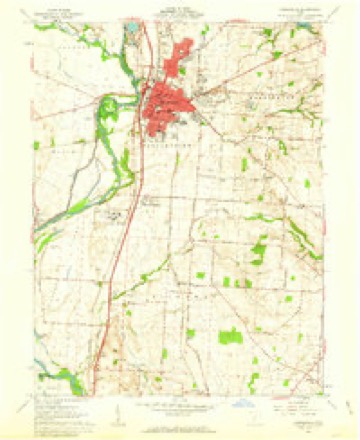
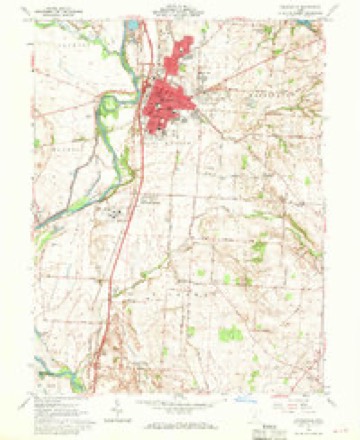
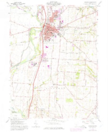
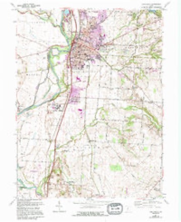
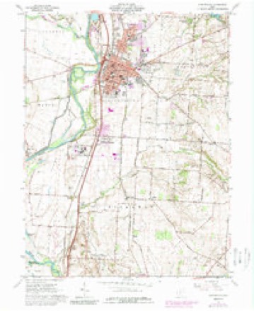
13 topographic sheets cover this place, the earliest surveyed in 1914 and the latest in 1984. It stands in Circleville City. It lies in ZIP code area 43113. It stands on Hargus Creek. The Survey maps it on the Circleville quadrangle. 13,927 people lived here at the 2020 count. It stands 696 feet above sea level.
Research this city
This curated hub for Pickaway County, Ohio brings together the page's documented record links, visible map or image evidence where published, and routes to related local records.
What is documented here?
Use the page's provenance and linked records to distinguish the source material from the site's navigation and summaries.
How should I cite it?
Open the original record, preserve its repository and identifier, then use the citation tool for this page as a path back to the source.
Where should I go next?
Follow the county or state hub for related places and records, then use the guide for a source-aware research sequence.
Population over time
2 figuresCircleville grew from 13,314 to 13,927 between 2010 and 2020. These are the recorded population figures Wikidata holds for this place, reached through the Geographic Names Information System number this page is keyed on rather than by name, so they belong to this place and not to another of the same name. Most are census counts, but not all are: an early figure may be a founding or settlement estimate. The change column is computed, and is left blank where more than 20 years separate a figure from the one before it, because a gap that long is not a change between two counts.
| Year | People | Change |
|---|---|---|
| 2010 | 13,314 | |
| 2020 | 13,927 | +613 (+5%) |
Then and now
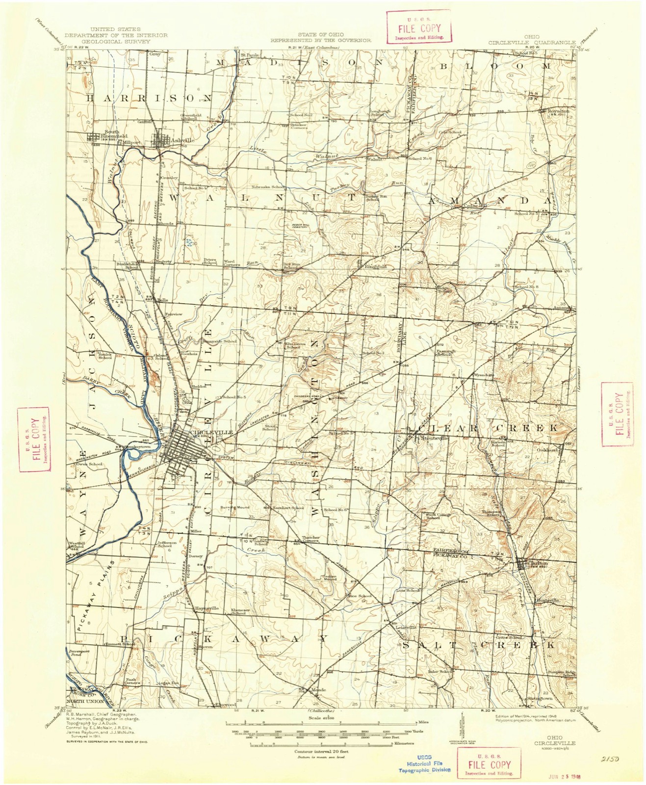
1914 to 1984The same ground, surveyed 70 years apart. Drag the handle to wipe between them. Both sheets are United States Geological Survey originals; neither has been altered.
Topographic sheets covering this place
13 sheetsMatched by testing this settlement's coordinate against the published boundary of every sheet in the United States Geological Survey's historical collection. Each opens the scanned sheet at the Survey.
- 1914 USGS Circleville quadrangle1:62500
- 1943 USGS Circleville quadrangle1:62500
- 1947 USGS Columbus quadrangle1:250000
- 1961 USGS Circleville quadrangle1:24000
- 1961 USGS Circleville quadrangle1:24000
- 1961 USGS Circleville quadrangle1:24000
- 1961 USGS Circleville quadrangle1:24000
- 1961 USGS Circleville quadrangle1:24000
- 1961 USGS Columbus quadrangle1:250000
- 1962 USGS Columbus quadrangle1:250000
- 1967 USGS Columbus quadrangle1:250000
- 1967 USGS Columbus quadrangle1:250000
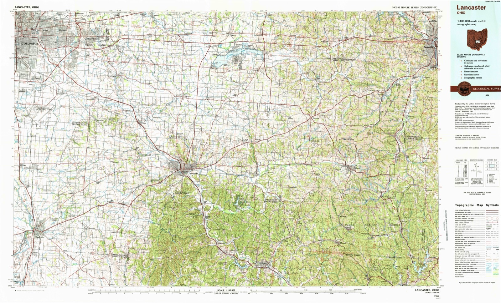
- 1984 USGS Lancaster quadrangle1:100000






Specimens collected nearby
12 of 2,727 shownMuseums hold 2,727 specimens collected within 10 miles of Circleville between 1829 and 1975: 2,632 Animalia, 78 Plantae, 15 Fungi, 1 Protozoa, 1 Unrecorded. 12 distinct Species records are shown. Collected by A. Spreitzer, A. White, M. Trautman, T. Cavender, Acker, G. & Class and others. Each is a physical object with a catalogue number, and each entry opens the museum's record. This is what was collected and kept, not a survey of what lives here - nothing can be concluded from a species being absent.
| Image | Species | Year | Collected by | Where, as recorded |
|---|---|---|---|---|
 | Phyllactinia corylea (Pers.) P.Karst. | 1892 | W.A. Kellerman | |
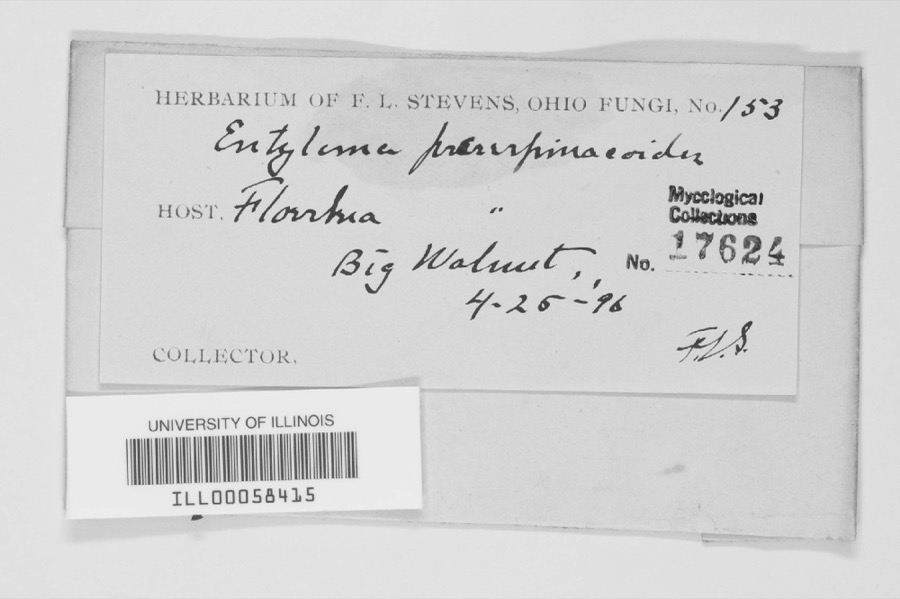 | unnamed | 1896 | F. L. Stevens | Big Walnut. |
 | Rallus elegans elegans Audubon, 1834 | 1829 | Florence, A. (Arledge) | Col Anderson farm 6 1/2 mi west of Circleville, Pickaway, Ohio, USA |
 | Caprimulgus vociferus vociferus A.Wilson, 1812 | 1876 | Jones, H. (Howard) | Darby Creek, Circleville, Pickaway, Ohio, USA |
 | Lanius ludovicianus migrans W.Palmer, 1898 | 1877 | Jones, H. (Howard) | Goose Pond, near Circleville, Pickaway, Ohio, USA |
 | Hirundo rustica erythrogaster Boddaert, 1783 | 1879 | Jones, H. (Howard) | near Circleville, Pickaway, Ohio, USA |
 | Bartramia longicauda (Bechstein, 1812) | 1880 | Jones, H. (Howard) | near Circleville, Pickaway, Ohio, USA |
 | Cardinalis cardinalis (Linnaeus, 1758) | 1880 | Mearns, E.A. | Circleville near Scioto River. |
 | Empidonax virescens (Vieillot, 1818) | 1880 | Jones, H. (Howard) | Niles Woods, near Circleville, Pickaway Co., Ohio |
 | Setophaga ruticilla (Linnaeus, 1758) | 1880 | Jones, H. (Howard) | near Circleville, Pickaway, Ohio, USA |
 | Accipiter striatus Vieillot, 1808 | 1881 | Jones, H. (Howard) | Scioto River bottoms near Circleville, Pickaway, Ohio, USA |
 | Petrochelidon pyrrhonota (Vieillot, 1817) | 1881 | Jones, H. (Howard) | near Circleville, Pickaway, Ohio, USA |
All 2,727 specimens within 10 miles, at the Global Biodiversity Information Facility.
Mines and quarries nearby
5 within 5 milesThe federal mineral resources record lists 5 workings within 5 miles of Circleville: 4 past producers, 1 producer. 1 still produces. What was taken out: Sand and Gravel, Construction. Distance is straight-line from the map coordinates, so a quarry counted here may appear on a neighbouring settlement's page as well.
| Where | Site | Commodity | Status | Recorded |
|---|---|---|---|---|
| Raleigh Spradlin Sand & Gravel Pit | Sand and Gravel, Construction | Past Producer | Sedimentary | |
| Raleigh Spradlin Sand & Gravel Pit | Sand and Gravel, Construction | Past Producer | ||
| Sturm & Dillard Pit | Sand and Gravel, Construction | Producer | ||
| Sturm and Dillard Sand & Gravel Pit | Sand and Gravel, Construction | Past Producer | Sedimentary | |
| Sturm and Dillard Sand & Gravel Pit | Sand and Gravel, Construction | Past Producer |
Storms nearby
60 of 75 shownThe National Weather Service names Circleville in 75 storm reports between 1994 and 2026: 29 thunderstorm wind, 21 hail, 14 flood, 7 flash flood. The reports record 7 injuries. Each account below is quoted exactly as the forecast office filed it, from the NOAA Storm Events Database, and each date opens the federal record of that event.
| When | Event | Place named | Harm | What the report says |
|---|---|---|---|---|
| October 1999 | Tornado (F3) | Circleville | 6 hurt, $4,000,000 | A tornado touched down west of Circleville, pulling a small shed off of its foundation and destroying a section of a construction building. after this, the tornado lifted and then touched down in a more developed area in town. It destroyed a building housing two businesses and ripped the roof off of a section of a strip mall, ejecting furniture from inside the structure. A large sign weighing several hundred pounds was ripped from its foundation and blown twenty feet away. A tractor trailer with a load of 18 to 19 tons was blown over and dragged ten feet away from where it landed. The tornado then proceeded to a housing development where several homes were destroyed, several roofs ripped off, and garages either destroyed or moved from their foundations. Trees were twisted and broken off at their bases and carports were also torn from nearby houses. |
| August 2019 | Thunderstorm Wind | Circleville | 1 hurt, $9,000 | A tree fell onto a vehicle along Northridge Road near Nicholas Road. One serious injury was reported. |
| August 2006 | Tornado (F0) | Circleville | $250,000 | A tornado touched down along State Route 361, causing damage to three buildings at the Pickaway Machine and Fabricating Company. Portions of the aluminum roofing and insulation were removed from these three buildings, and deposited throughout the complex and in a cornfield across Route 361. Corn stalks at six to eight feet in height were knocked over in a 150 foot wide swath across this cornfield, extending for a mile to the northeast to Boggs Road. Across Boggs Road, minor tree and limb damage occurred, with part of an open air aluminum shed being blown into a nearby tree line. |
| October 2010 | Thunderstorm Wind | Circleville | $75,000 | A building collapsed and trees were reported down due to damaging thunderstorm winds. |
| June 2001 | Tornado (F0) | Circleville | $50,000 | A small tornado moved across the south side of Circleville producing minor structural and roof damage to a few buildings, and some damage to nine cars at a dealership. Numerous trees and power lines were also knocked down. |
| May 2001 | Lightning | Circleville | $50,000 | Significant damage to a house caused by a lightning strike. |
| April 2011 | Thunderstorm Wind | Circleville | $20,000 | Trees were uprooted, a barn was moved off its foundation, and power lines were reported down due to damaging thunderstorm winds. |
| June 2025 | Flash Flood | Circleville | $15,000 | Water was rushing over Pontious Lane. Several vehicles were inundated by the water. |
| June 2008 | Hail | Circleville | $15,000 | no account filed |
| June 2025 | Flash Flood | Circleville | $10,000 | Water was rushing over the 2000 block of North Court Street and a portion of the road was washed away. |
| September 2019 | Thunderstorm Wind | Circleville | $10,000 | A few trees were downed onto some houses and a few power lines were also downed. |
| August 2018 | Thunderstorm Wind | Circleville | $10,000 | Multiple trees were knocked down over a road. In addition, a tree fell onto a house. |
| July 1998 | Thunderstorm Wind | Circleville | $10,000 | Trees downed. |
| June 2008 | Hail | Circleville | $8,000 | no account filed |
| June 2011 | Thunderstorm Wind | Circleville | $6,000 | A shed was blown over and several large limbs were down due to damaging thunderstorm winds. |
| November 2020 | Thunderstorm Wind | Circleville | $5,000 | Several trees were downed throughout Washington Township east of Circleville. |
| January 2000 | Flash Flood | Circleville | $5,000 | Heavy rainfall caused some streets to be flooded in Circleville. |
| September 2000 | Thunderstorm Wind | Circleville | $5,000 | Trees knocked down by thunderstorm winds. |
| July 1994 | Thunderstorm Wind | Circleville | $5,000 | Trees were downed. Four head of cattle were killed at the Oscar Waller Farm from being struck by lightning as they took shelter under a tree. |
| May 2022 | Thunderstorm Wind | Circleville | $4,000 | A few large trees were downed on Nicholas Drive. |
| June 2011 | Thunderstorm Wind | Circleville | $4,000 | Trees and power lines were reported down due to damaging thunderstorm winds. |
| August 2021 | Thunderstorm Wind | Circleville | $3,000 | A few trees were downed. |
| May 2015 | Thunderstorm Wind | Circleville | $3,000 | Several trees were downed across the Circleville area. |
| June 2012 | Thunderstorm Wind | Circleville | $3,000 | A large tree was downed on a house on Half Avenue due to damaging thunderstorm winds. |
| August 2007 | Thunderstorm Wind | Circleville | $3,000 | Trees were knocked down. |
| April 2003 | Thunderstorm Wind | Circleville | $3,000 | A few trees and limbs were downed in town. |
| April 2003 | Thunderstorm Wind | Circleville | $3,000 | Trees and large limbs were downed in town. |
| June 2003 | Thunderstorm Wind | Circleville | $3,000 | Trees and large limbs were downed. |
| July 2001 | Thunderstorm Wind | Circleville | $3,000 | Trees were knocked down on the west and east side of Circleville. |
| March 2026 | Thunderstorm Wind | Circleville | $2,000 | A barn and a home both sustained minor siding damage. |
| June 2012 | Thunderstorm Wind | Circleville | $2,000 | Multiple large tree limbs were reported down due to damaging thunderstorm winds. |
| August 2010 | Thunderstorm Wind | Circleville | $2,000 | Several trees were reported down across the county. |
| June 2004 | Thunderstorm Wind | Circleville | $2,000 | One tree and several large limbs were downed. |
| May 2002 | Thunderstorm Wind | Circleville | $2,000 | Two trees were knocked down near town. |
| June 2000 | Thunderstorm Wind | Circleville | $2,000 | A tree and several large limbs were blown down on Island Road. |
| November 2007 | Hail | Circleville | $2,000 | no account filed |
| April 1996 | Thunderstorm Wind | Circleville | $2,000 | no account filed |
| May 2022 | Thunderstorm Wind | Circleville | $1,000 | A tree was downed along Oakland Terrace. |
| July 2007 | Hail | Circleville | $1,000 | no account filed |
| August 2019 | Thunderstorm Wind | Circleville | $250 | A small limb was knocked down in Circleville. |
| June 2025 | Flood | Circleville | - | High water was reported on several roads in Circleville. |
| July 2025 | Flash Flood | Circleville | - | Watt Street was reported to have water flowing across it. |
| July 2025 | Flood | Circleville | - | Island Road was closed due to high standing water. |
| July 2025 | Flood | Circleville | - | High water was reported over Edwards Road. |
| July 2025 | Flood | Circleville | - | A portion of the Kroger Parking lot flooded along Hargus Creek. |
| February 2022 | Flood | Circleville | - | Island Road was closed due to high water. |
| May 2020 | Flood | Circleville | - | Water rising out of Hominy Creek limited access to a few homes off of East Main Street in Circleville. |
| February 2019 | Flood | Circleville | - | Several roads were closed due to flooding. |
| February 2019 | Flood | Circleville | - | Several roads remained closed due to flooding. |
| June 2019 | Flood | Circleville | - | A portion of North Court Street was closed due to high water. |
| June 2019 | Flood | Circleville | - | Numerous roads were closed due to flooding. |
| April 2018 | Flood | Circleville | - | High water was reported at multiple locations throughout Pickaway County. |
| August 2018 | Flood | Circleville | - | High water was reported on State Routes 138 and 104. |
| June 2018 | Flood | Circleville | - | Water was reported over two roads. |
| June 2018 | Flood | Circleville | - | A few inches of standing water was reported on Island Road. |
| June 2009 | Hail | Circleville | - | Hail from three quarters of an inch to an inch in diameter was reported. Several trees were also downed and shingles were torn off of a roof. |
| July 2006 | Flash Flood | Circleville | - | Island Road was flooded and closed. |
| May 2004 | Flash Flood | Circleville | - | Numerous roads were flooded. |
| July 2002 | Flash Flood | Circleville | - | Morris Road was closed for a period of time due to high water. |
| April 2024 | Hail | Circleville | - | no account filed |
Nearest settlements
The eight closest, with where each one stands in the county. Distances are straight-line, computed from the Geographic Names Information System coordinates.
| Map | Place | Distance | Sheets |
|---|---|---|---|
| Brookside Park | 0.5 miles | 13 | |
| Spunkeytown (historical) | 1.4 miles | 13 | |
| Sheldon (historical) | 1.5 miles | 13 | |
| Graystone Villas | 1.6 miles | 13 | |
| Northwood Park | 1.8 miles | 13 | |
| Heathergreen | 2.1 miles | 13 | |
| Logan Elm Village | 2.2 miles | 13 | |
| Jefferson Estates | 2.4 miles | 13 |
Elsewhere
Matched on this settlement's Geographic Names Information System number rather than its name, so it cannot be a different place of the same name in another state.
| Wikipedia article on Circleville | An encyclopaedic summary. Its text is share-alike, so it is linked here rather than copied. |
| Wikidata item Q1007037 | The structured record the population and elevation above come from. Public domain (CC0). |
Provenance
This settlement is recorded in the Geographic Names Information System as feature 1056803. The sheet list is computed by point-in-boundary test against the United States Geological Survey's historical topographic inventory. Both are works of the United States government and carry no copyright under 17 U.S.C. 105.
Specimens. Global Biodiversity Information Facility (GBIF), https://www.gbif.org/. Only records licensed CC0 or CC BY are used. Records licensed CC BY-NC are excluded because this site carries advertising. Images are checked individually and any whose licence is non-commercial, no-derivatives or unreadable is refused.
Mines and quarries. USGS Mineral Resources Data System (MRDS) https://mrdata.usgs.gov/mrds/ A work of the United States government, no copyright under 17 U.S.C. 105.
Storms. NOAA National Centers for Environmental Information, Storm Events Database https://www.ncei.noaa.gov/stormevents/ A work of the United States government, no copyright under 17 U.S.C. 105. Narratives are quoted verbatim from the National Weather Service report and are not edited or summarised.