 Block
Block
Lincoln, Massachusetts
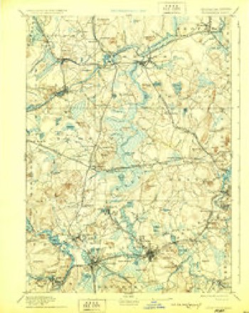
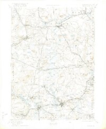
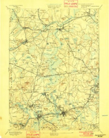
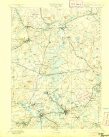
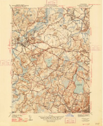
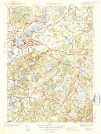
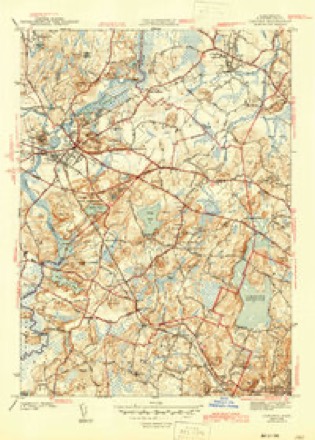
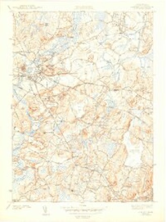
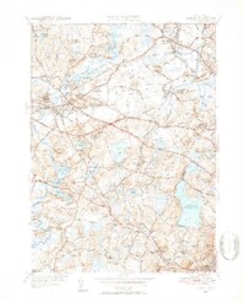
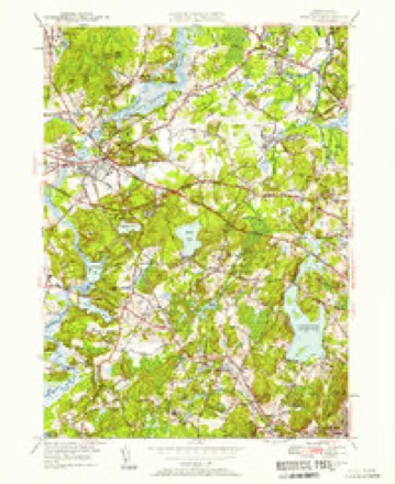
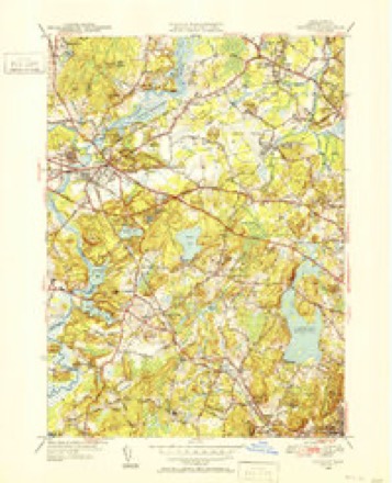
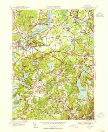
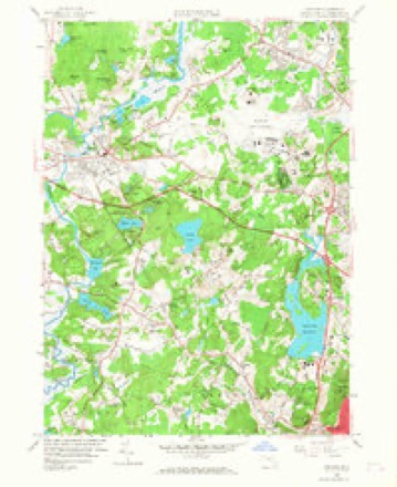
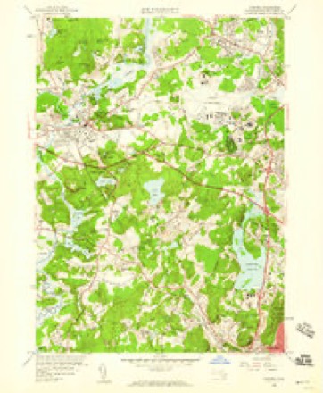
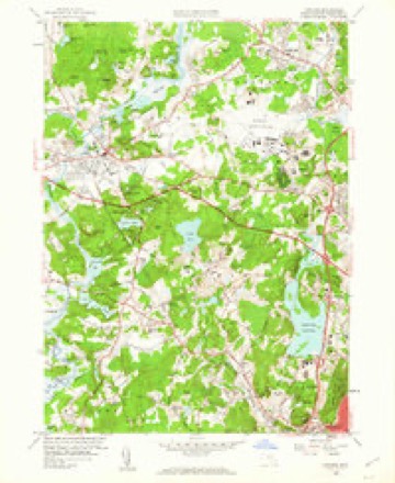
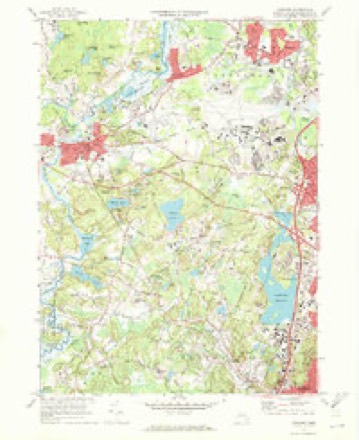
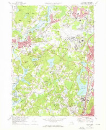
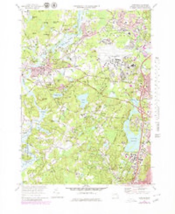
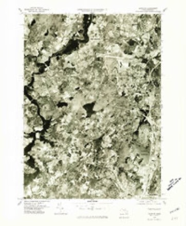
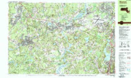
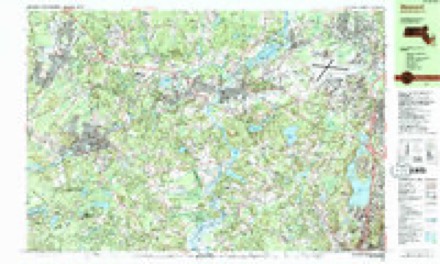
48 topographic sheets cover this place, the earliest surveyed in 1886 and the latest in 1989. It stands in Lincoln town. It lies in ZIP code area 01773. It stands on Iron Mine Brook. The Survey maps it on the Concord quadrangle.
Then and now
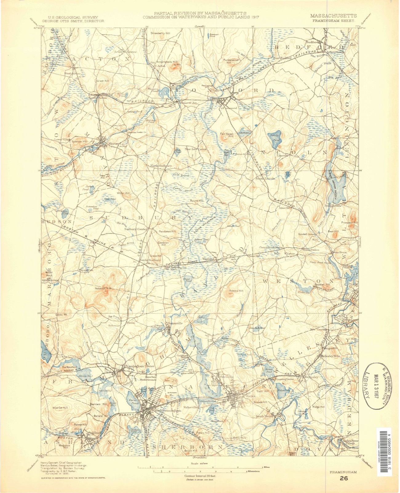
1886 to 1989The same ground, surveyed 103 years apart. Drag the handle to wipe between them. Both sheets are United States Geological Survey originals; neither has been altered.

Topographic sheets covering this place
48 sheetsMatched by testing this settlement's coordinate against the published boundary of every sheet in the United States Geological Survey's historical collection. Each opens the scanned sheet at the Survey.
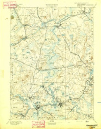
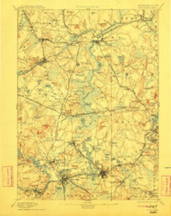
- 1886 USGS Framingham quadrangle1:62500
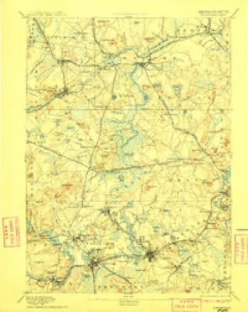
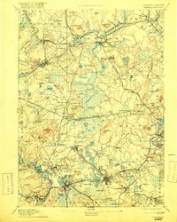
- 1889 USGS Framingham quadrangle1:62500
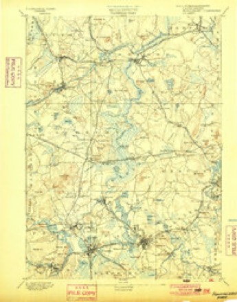
- 1894 USGS Framingham quadrangle1:62500
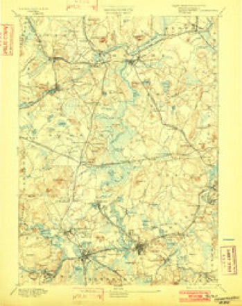
- 1894 USGS Framingham quadrangle1:62500
- 1894 USGS Framingham quadrangle1:62500
- 1894 USGS Framingham quadrangle1:62500
- 1894 USGS Framingham quadrangle1:62500
- 1894 USGS Framingham quadrangle1:62500
- 1894 USGS Framingham quadrangle1:62500
- 1894 USGS Framingham quadrangle1:62500
- 1894 USGS Framingham quadrangle1:62500
- 1894 USGS Framingham quadrangle1:62500
- 1894 USGS Framingham quadrangle1:62500
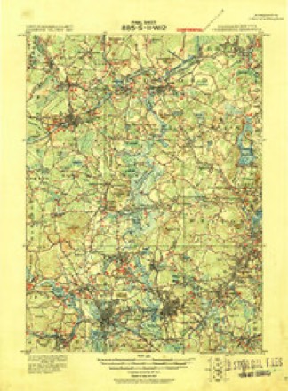
- 1918 USGS Framingham quadrangle1:62500
- 1918 USGS Framingham quadrangle1:62500
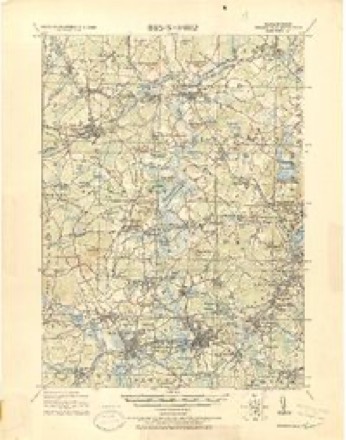
- 1943 USGS Boston quadrangle1:125000
- 1943 USGS Concord quadrangle1:31680
- 1943 USGS Concord quadrangle1:31680
- 1943 USGS Concord quadrangle1:31680
- 1943 USGS Concord quadrangle1:31680
- 1948 USGS Boston quadrangle1:250000
- 1948 USGS Boston quadrangle1:250000
- 1950 USGS Concord quadrangle1:31680
- 1950 USGS Concord quadrangle1:24000
- 1950 USGS Concord quadrangle1:31680
- 1950 USGS Concord quadrangle1:31680
- 1956 USGS Boston quadrangle1:250000
- 1956 USGS Boston quadrangle1:250000
- 1956 USGS Boston quadrangle1:250000
- 1956 USGS Boston quadrangle1:250000
- 1956 USGS Boston quadrangle1:250000
- 1956 USGS Boston quadrangle1:250000
- 1958 USGS Boston quadrangle1:250000
- 1958 USGS Boston quadrangle1:250000
- 1958 USGS Concord quadrangle1:24000
- 1958 USGS Concord quadrangle1:24000
- 1958 USGS Concord quadrangle1:24000
- 1961 USGS Boston quadrangle1:250000
- 1961 USGS Boston quadrangle1:250000
- 1970 USGS Concord quadrangle1:24000
- 1970 USGS Concord quadrangle1:24000
- 1970 USGS Concord quadrangle1:24000
- 1977 USGS Concord quadrangle1:24000
- 1985 USGS Boston quadrangle1:100000
- 1987 USGS Maynard quadrangle1:25000
- 1987 USGS Maynard quadrangle1:25000
- 1989 USGS Boston quadrangle1:100000
- 1989 USGS Boston quadrangle1:100000
















In the county-history sources
13,190 words on this townshipHistory of Middlesex County, Massachusetts : Containing Carefully Prepared Histories of Every City and Town in the County, published 1880 names this settlement in its chapter on Lincoln Town. These are the passages that mention it, exactly as the scans read.
HE town of Lincoln is a collection of hills in the heart of Middlesex County. Its centre is about thirteen and one half miles west-northwest from the state house, and its territory is bounded nortli by Bedford, easterly by Lexington and Waltham, southerly by Weston and Wayland, and northwesterly by Concord. Its greatest length is upwards of five, and its greatest breadth about three and one half, miles, and it embraces about eight thousand five hundred acres. The hill on which the meetinghouse stands is four hundred and seventy feet above high-water mark at Boston, and though there are other hills of greater altitude, it is believed to be the highest land in the county whereon men have built themselves habitations. From the summit of this hill, in fine weather, the prospect extends from the seminary buildings in Andover to the churches in Hopkinton, and from Bunker Hill Monument to the New Hampshire hills.
Passage source: History of Middlesex County, Massachusetts : Containing Carefully Prepared Histories of Every City and Town in the County, published 1880.
Sandy Pond, a beautiful sheet of water, lies on the western side of the town, and a fine tract of arable land extends from the centre of Lincoln to the borders of Wayland, the quality of which was well known to the Indians, and they repeatedly petitioned to have a town on the easterly shore of Sandy Pond, or the westerly side of Beaver Swamp. The southwestern border of the town is washed for more than a mile by the sluggish waters of Concord River. Brooks which are tributaries to the Concord, Charles, and Shawshiiic rise and flow out, but not a tubful of water comes into the town from any source except the rains and dews of heaven. Two of these brooks acquire sufficient force and volume before leaving the town to furnish water-power for saw and grist mills, and a small mill for sawing marble taken from a quarry near by existed here many years ago ; but the business was not remunerative. Tlie inhabitants of Lmcoln are occupied witli
Passage source: History of Middlesex County, Massachusetts : Containing Carefully Prepared Histories of Every City and Town in the County, published 1880.
Tiie town of Lincoln was incorporated April 19, 1754, and went into the contest for freedom and independence on the day it became of age. Although the history of a town may properly be said to commence with the date of its incorporation, it seems as properly to include some account of its parentage. Portions of the present town of Lincoln were, at difi'erent periods of colonial history, parts of the towns of Watertown, Cambridge, Concord, Weston, and Lexington. The grant of the General Court of April, 1635, to Watertown of a tract of land extending eight miles from Fresh Pond west-northwest into the country, and the grant to Concord of September 3, of the same year, of " six myles square of land," overlapped each other about two miles, and included about two thirds of the present town of Lincoln. This gave rise to a controversy between Watertown and Concord, and on the 8th of June, 1638, the General Court ordered, " for the final end of difl"erence between Watertown and Concord, that Watertown eight miles shall extend upon the line between Watertown and Cambridge as far as Concord bounds give leave." This decision gave the principal part of the territory of Lincoln to Concord. Bond, in his history of Watertown, says that " as the land was first surveyed and settled by Concord people, they were allowed to retain it, notwithstanding the prior title of Watertown," but it is not probable there were any settlements here as early as 1638. It is not easy to determine when or by whom the first settlement was made or house built. Natlianiel Billings was probably the earliest settler. Thomas Brooks moved from Watertown to Concord about 1638. His son Joshua jirobably learned his trade of tanner from Captain Hugh Mason of Watertown, whose daughter he married, and moved to tiie easterly part of Concord, between 1650 and 1660.
Passage source: History of Middlesex County, Massachusetts : Containing Carefully Prepared Histories of Every City and Town in the County, published 1880.
Machine-read from a century-old scan, so expect the errors a machine makes: misspelled names, dropped words, stray characters.
Read the whole chapter on Lincoln Town - it names this place 15 more 15 times.
Fires near this place
48 since 1992Regional context, not property-specific evidence. The federal wildfire occurrence database lists 48 fires within 5 miles of Lincoln between 1992 and 2020, burning about 34 acres in total. 1 started naturally. 3 were recorded as arson. Distance is straight-line from the map coordinates, so a fire counted here may appear on a neighbouring settlement's page as well.
| Reported cause | Fires |
|---|---|
| Debris and open burning | 20 |
| Missing data/not specified/undetermined | 15 |
| Railroad operations and maintenance | 4 |
| Arson/incendiarism | 3 |
| Power generation/transmission/distribution | 3 |
| Equipment and vehicle use | 1 |
| Other causes | 1 |
| Natural | 1 |
The most recent of them, most recent first, with the day each was reported and the service that recorded it.
| Date | Cause | Size | Reported by | Name on the report |
|---|---|---|---|---|
| 5 September 2020 | Power generation/transmission/distribution | under an acre | Massachusetts Bureau of Forest Fire Control | not named |
| 5 September 2020 | Debris and open burning | under an acre | Massachusetts Bureau of Forest Fire Control | not named |
| 3 September 2018 | Debris and open burning | under an acre | Massachusetts Bureau of Forest Fire Control | not named |
| 16 September 2020 | Debris and open burning | under an acre | Massachusetts Bureau of Forest Fire Control | not named |
| 1 September 2001 | Natural | under an acre | Minute Man National Historical Park | FISKEHILL |
| 26 August 2020 | Missing data/not specified/undetermined | under an acre | Massachusetts Bureau of Forest Fire Control | not named |
| 4 July 2018 | Missing data/not specified/undetermined | under an acre | Massachusetts Bureau of Forest Fire Control | not named |
| 19 July 2020 | Railroad operations and maintenance | under an acre | Massachusetts Bureau of Forest Fire Control | not named |
Settlements close enough to share some of these fires:
Specimens collected near this place
12 of 1,348 shownRegional context, not property-specific evidence. Museums hold 1,348 specimens collected within 10 miles of Lincoln between 1898 and 1975: 590 Animalia, 391 Plantae, 339 Fungi, 9 Chromista, 8 Protozoa, 7 Unrecorded, 4 Bacteria. 12 distinct Species records are shown. Collected by ?, A. B. Seymour, A. B. Seymour & M. D. Feigley and others. Each is a physical object with a catalogue number, and each entry opens the museum's record. This is what was collected and kept, not a survey of what lives here - nothing can be concluded from a species being absent.
| Image | Species | Year | Collected by | Where, as recorded |
|---|---|---|---|---|
 | Corvus brachyrhynchos brachyrhynchos C.L.Brehm, 1822 | 1900 | not recorded | Wayland |
 | Trientalis borealis Raf. | 1900 | A. P. Chute | |
| Aglaospora profusa (Fr.) De Not. | 1898 | Collector unspecified | ||
 | Antennaria howellii subsp. canadensis (Greene) R.J.Bayer | 1898 | Williams, E.F. | |
 | Antennaria parlinii subsp. fallax (Greene) R.J.Bayer & Stebbins | 1898 | not recorded | |
 | Antennaria plantaginifolia (L.) Hook. | 1898 | not recorded | |
 | Boletus griseus Frost | 1898 | H. Webster | |
 | Agaricus brunnescens Peck | 1900 | Morris, G. E. | Waltham |
| Araiospora pulchra Thaxt. | 1900 | Thaxter, Roland | Stony Brook, Mass. [Massachusetts] | |
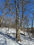 | Betula alleghaniensis Britton | 1900 | E. F. Williams | |
 | Boletus auriporus Peck | 1900 | G. E. Morris | |
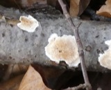 | Boletus badius (Fr.) Fr. | 1900 | G. E. Morris |
All 1,348 specimens within 10 miles, at the Global Biodiversity Information Facility.
Mines and quarries near this place
4 within 5 milesRegional context, not property-specific evidence. The federal mineral resources record lists 4 workings within 5 miles of Lincoln: 3 past producers, 1 producer. 1 still produces. What was taken out: Stone, Crushed/Broken, Sand and Gravel, Construction. Distance is straight-line from the map coordinates, so a quarry counted here may appear on a neighbouring settlement's page as well.
| Where | Site | Commodity | Status | Recorded |
|---|---|---|---|---|
| Burton Pit | Sand and Gravel, Construction | Past Producer | ||
| Massachusetts Broken Stone Co | Stone, Crushed/Broken | Past Producer | ||
| Pepperell Pit | Sand and Gravel, Construction | Past Producer | ||
| Weston Mine | Stone, Crushed/Broken | Producer |
Storms near this place
6 since 2000Regional context, not property-specific evidence. The National Weather Service names Lincoln in 6 storm reports between 2000 and 2022: 4 thunderstorm wind, 2 lightning. No death or injury is recorded in these reports. Each account below is quoted exactly as the forecast office filed it, from the NOAA Storm Events Database, and each date opens the federal record of that event.
| When | Event | Place named | Harm | What the report says |
|---|---|---|---|---|
| May 2008 | Lightning | South Lincoln | $15,000 | Lightning struck DeCordova Museum. Unspecified damage was reported. |
| August 2003 | Thunderstorm Wind | Lincoln | $10,000 | no account filed |
| August 2022 | Thunderstorm Wind | South Lincoln | $3,300 | In Lincoln, two large trees were down with wires down on Old Concord Road. A tree was down on Route 126. A tree was down on wires at the intersection of Huntley Lane and Farrar Road. A large branch was down on the 1400 block of Concord Road. |
| July 2020 | Thunderstorm Wind | Lincoln | $1,300 | In Lincoln, a large tree and wires were down on Bedford Road. |
| May 2010 | Lightning | Lincoln | $100 | A tool shed was struck by lightning and caught fire. |
| June 2000 | Thunderstorm Wind | Lincoln | - | no account filed |
Nearest settlements
The eight closest, with where each one stands in the county. Distances are straight-line, computed from the Geographic Names Information System coordinates.
| Map | Place | Distance | Sheets |
|---|---|---|---|
| South Lincoln | 1.4 miles | 48 | |
| Baker Bridge | 1.7 miles | 48 | |
| Silver Hill | 2.1 miles | 48 | |
| Meriams Corner | 2.6 miles | 48 | |
| Hastings | 2.8 miles | 48 | |
| Idylwide | 2.8 miles | 48 | |
| Prospectville | 3.0 miles | 48 | |
| Kingston | 3.2 miles | 46 |
Provenance
This settlement is recorded in the Geographic Names Information System as feature 611825. The sheet list is computed by point-in-boundary test against the United States Geological Survey's historical topographic inventory. Both are works of the United States government and carry no copyright under 17 U.S.C. 105.
Wildfire. Short, Karen C. 2022. Spatial wildfire occurrence data for the United States, 1992-2020 [FPA_FOD_20221014]. 6th Edition. Fort Collins, CO: Forest Service Research Data Archive. https://doi.org/10.2737/RDS-2013-0009.6 Collected with United States Government funding and usable without additional permissions or fees.
Specimens. Global Biodiversity Information Facility (GBIF), https://www.gbif.org/. Only records licensed CC0 or CC BY are used. Records licensed CC BY-NC are excluded because this site carries advertising. Images are checked individually and any whose licence is non-commercial, no-derivatives or unreadable is refused.
Mines and quarries. USGS Mineral Resources Data System (MRDS) https://mrdata.usgs.gov/mrds/ A work of the United States government, no copyright under 17 U.S.C. 105.
Storms. NOAA National Centers for Environmental Information, Storm Events Database https://www.ncei.noaa.gov/stormevents/ A work of the United States government, no copyright under 17 U.S.C. 105. Narratives are quoted verbatim from the National Weather Service report and are not edited or summarised.