 Block
Block
Pittsfield, Massachusetts
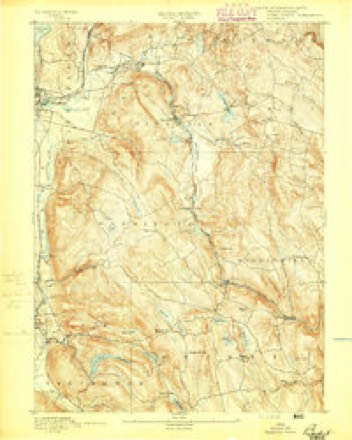
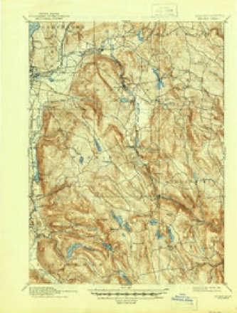
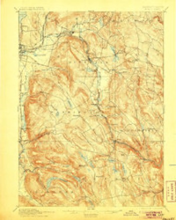
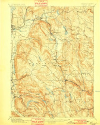
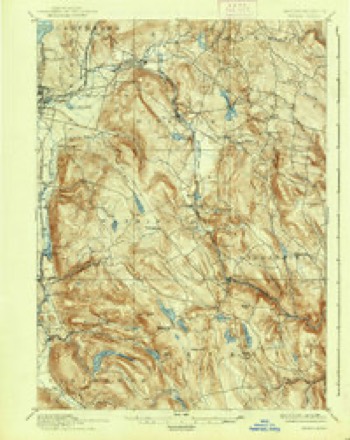
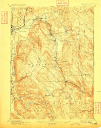
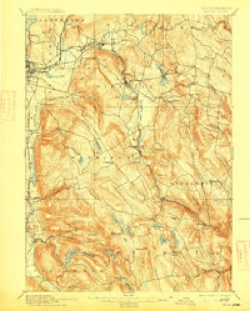
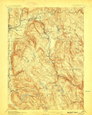
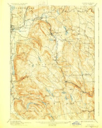
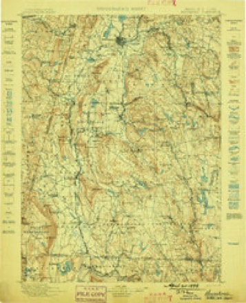
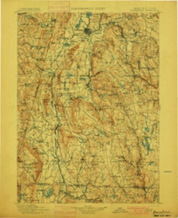
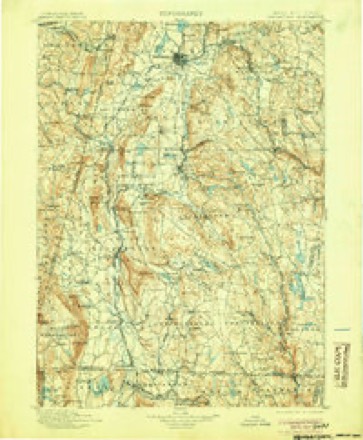
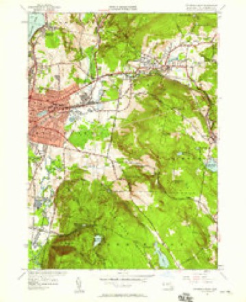
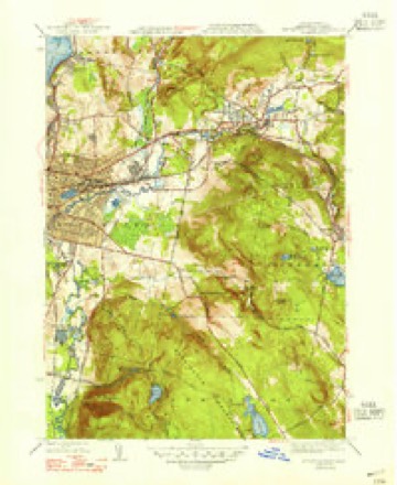
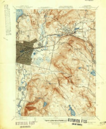
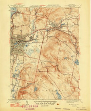
37 topographic sheets cover this place, the earliest surveyed in 1886 and the latest in 1997. It stands in Pittsfield City. It lies in ZIP code area 01201. It stands on Onota Brook. The Survey maps it on the Pittsfield East quadrangle. 43,927 people lived here at the 2020 count. It stands 1,040 feet above sea level.
Research this city
This curated hub for Berkshire County, Massachusetts brings together the page's documented record links, visible map or image evidence where published, and routes to related local records.
What is documented here?
Use the page's provenance and linked records to distinguish the source material from the site's navigation and summaries.
How should I cite it?
Open the original record, preserve its repository and identifier, then use the citation tool for this page as a path back to the source.
Where should I go next?
Follow the county or state hub for related places and records, then use the guide for a source-aware research sequence.
Population over time
3 figuresPittsfield grew from 1,992 to 43,927 between 1790 and 2020. These are the recorded population figures Wikidata holds for this place, reached through the Geographic Names Information System number this page is keyed on rather than by name, so they belong to this place and not to another of the same name. Most are census counts, but not all are: an early figure may be a founding or settlement estimate. The change column is computed, and is left blank where more than 20 years separate a figure from the one before it, because a gap that long is not a change between two counts.
| Year | People | Change |
|---|---|---|
| 1790 | 1,992 | |
| 2010 | 44,737 | |
| 2020 | 43,927 | -810 (-2%) |
Then and now
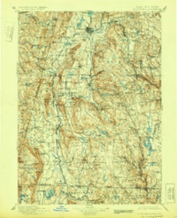
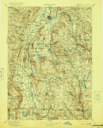
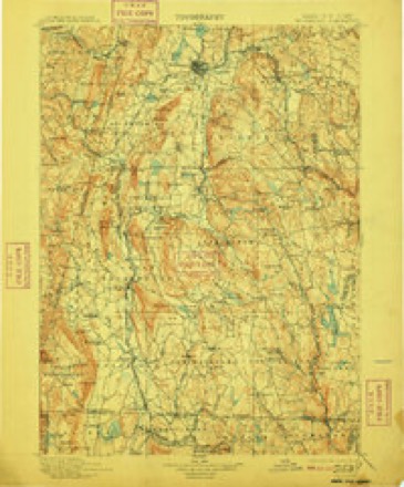
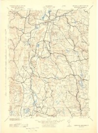
1886 to 1997The same ground, surveyed 111 years apart. Drag the handle to wipe between them. Both sheets are United States Geological Survey originals; neither has been altered.
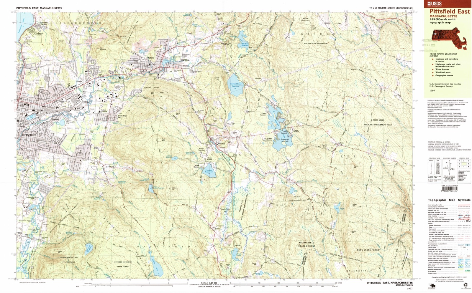
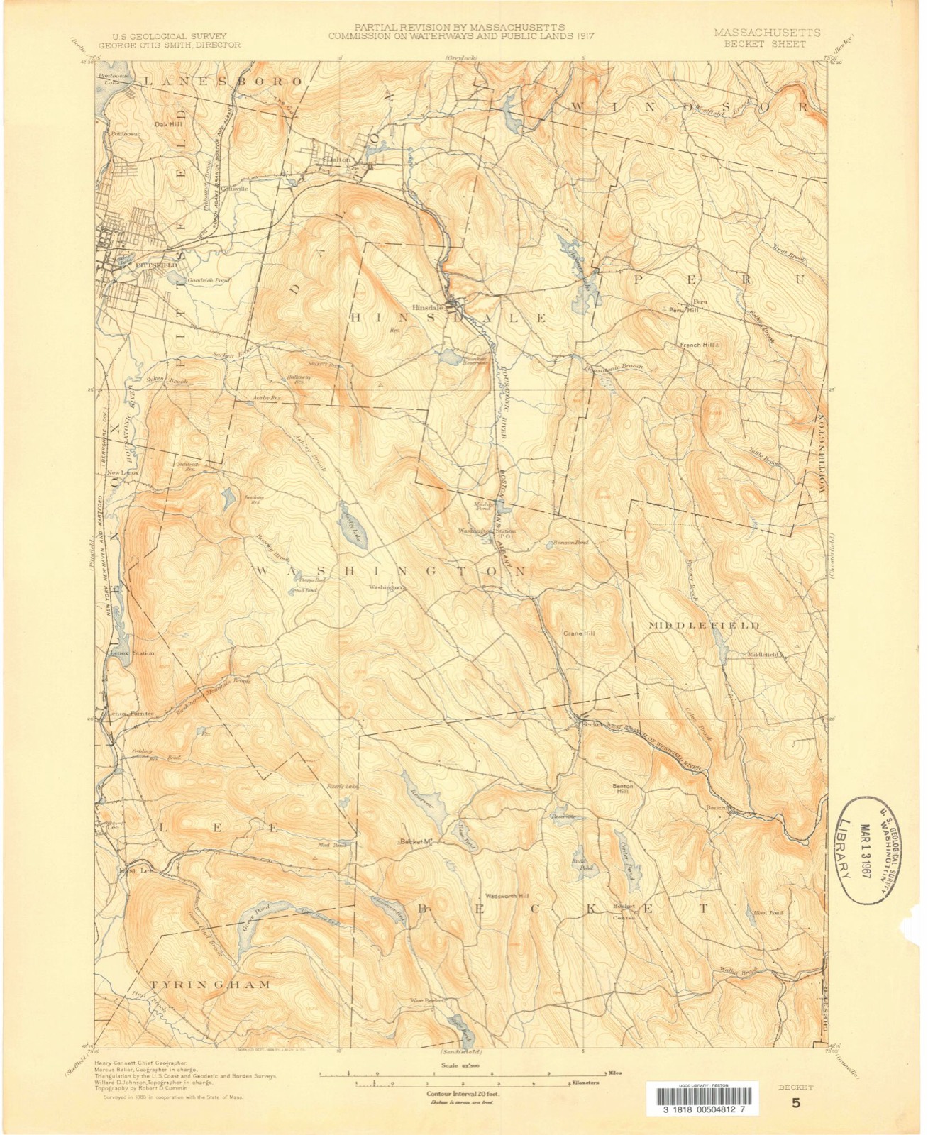
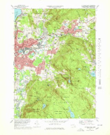
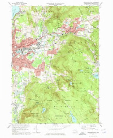
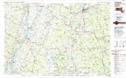
Topographic sheets covering this place
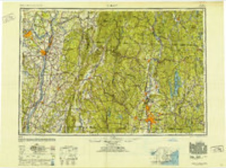
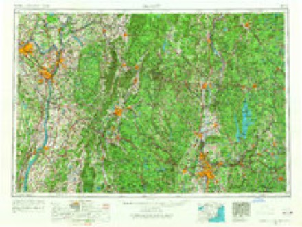
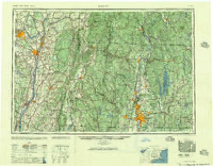
37 sheetsMatched by testing this settlement's coordinate against the published boundary of every sheet in the United States Geological Survey's historical collection. Each opens the scanned sheet at the Survey.
- 1886 USGS Becket quadrangle1:62500
- 1888 USGS Becket quadrangle1:62500
- 1893 USGS Becket quadrangle1:62500
- 1897 USGS Becket quadrangle1:62500
- 1897 USGS Becket quadrangle1:62500
- 1897 USGS Becket quadrangle1:62500
- 1897 USGS Becket quadrangle1:62500
- 1897 USGS Becket quadrangle1:62500
- 1897 USGS Becket quadrangle1:62500
- 1897 USGS Becket quadrangle1:62500
- 1897 USGS Becket quadrangle1:62500
- 1899 USGS Housatonic quadrangle1:125000
- 1900 USGS Housatonic quadrangle1:125000
- 1900 USGS Housatonic quadrangle1:125000
- 1900 USGS Housatonic quadrangle1:125000
- 1900 USGS Housatonic quadrangle1:125000
- 1900 USGS Housatonic quadrangle1:125000
- 1943 USGS Housatonic quadrangle1:125000
- 1944 USGS Pittsfield East quadrangle1:24000
- 1947 USGS Pittsfield East quadrangle1:31680
- 1947 USGS Pittsfield East quadrangle1:31680
- 1947 USGS Pittsfield East quadrangle1:31680
- 1948 USGS Albany quadrangle1:250000
- 1956 USGS Albany quadrangle1:250000
- 1956 USGS Albany quadrangle1:250000
- 1957 USGS Albany quadrangle1:250000
- 1959 USGS Albany quadrangle1:250000
- 1959 USGS Pittsfield East quadrangle1:24000
- 1959 USGS Pittsfield East quadrangle1:24000
- 1962 USGS Albany quadrangle1:250000
- 1973 USGS Pittsfield East quadrangle1:25000
- 1973 USGS Pittsfield East quadrangle1:24000
- 1975 USGS Pittsfield East quadrangle1:25000
- 1986 USGS Pittsfield quadrangle1:100000
- 1986 USGS Pittsfield quadrangle1:100000
- 1988 USGS Pittsfield East quadrangle1:25000
- 1997 USGS Pittsfield East quadrangle1:25000
Photographs
3 photographs, 1937Taken for the Office of War Information and the Farm Security Administration, who photographed the country between 1935 and 1944. Works of United States government photographers, with no known restriction on use. Each opens its catalogue record.
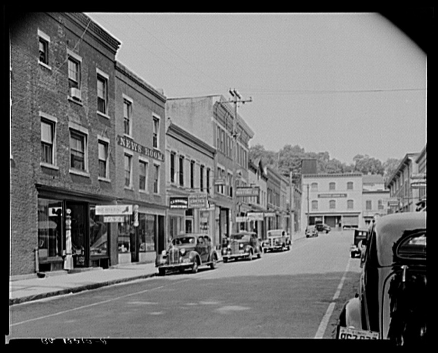
Locke, Edwin, photographer, 1937. Library of Congress
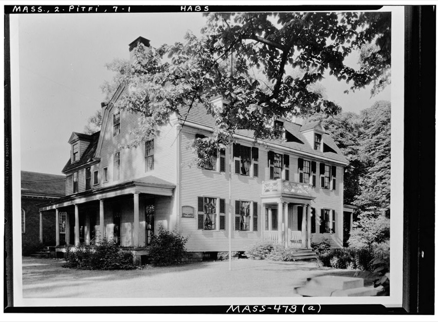
Unattributed, . Library of Congress
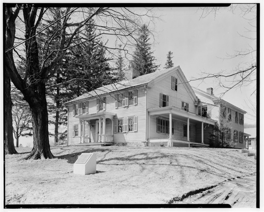
Unattributed, . Library of Congress
Fires nearby
118 since 2002The federal wildfire occurrence database lists 118 fires within 5 miles of Pittsfield between 2002 and 2020, burning about 82 acres in total. 1 started naturally. 2 were recorded as arson. Distance is straight-line from the map coordinates, so a fire counted here may appear on a neighbouring settlement's page as well.
| Reported cause | Fires |
|---|---|
| Debris and open burning | 67 |
| Recreation and ceremony | 17 |
| Smoking | 7 |
| Railroad operations and maintenance | 7 |
| Missing data/not specified/undetermined | 6 |
| Equipment and vehicle use | 4 |
| Misuse of fire by a minor | 4 |
| Arson/incendiarism | 2 |
| Power generation/transmission/distribution | 1 |
| Natural | 1 |
| Other causes | 1 |
| Fireworks | 1 |
The most recent of them, most recent first, with the day each was reported and the service that recorded it.
| Date | Cause | Size | Reported by | Name on the report |
|---|---|---|---|---|
| 7 September 2016 | Recreation and ceremony | under an acre | Massachusetts Bureau of Forest Fire Control | not named |
| 1 September 2016 | Other causes | under an acre | Massachusetts Bureau of Forest Fire Control | not named |
| 29 August 2017 | Equipment and vehicle use | under an acre | Massachusetts Bureau of Forest Fire Control | not named |
| 21 August 2002 | Smoking | under an acre | Massachussetts State Fire Marshal's Office | not named |
| 4 July 2018 | Recreation and ceremony | under an acre | Massachusetts Bureau of Forest Fire Control | not named |
| 4 July 2018 | Fireworks | under an acre | Massachusetts Bureau of Forest Fire Control | not named |
| 29 July 2015 | Debris and open burning | under an acre | Massachusetts Bureau of Forest Fire Control | not named |
| 20 July 2016 | Debris and open burning | under an acre | Massachusetts Bureau of Forest Fire Control | not named |
Settlements close enough to share some of these fires:
Specimens collected nearby
12 of 983 shownMuseums hold 983 specimens collected within 10 miles of Pittsfield between 1835 and 1975: 463 Plantae, 327 Animalia, 189 Fungi, 4 Unrecorded. 12 distinct Species records are shown. Collected by A. H. Mead, A. K. Harrison, A. K. Harrison, Florence and others. Each is a physical object with a catalogue number, and each entry opens the museum's record. This is what was collected and kept, not a survey of what lives here - nothing can be concluded from a species being absent.
| Image | Species | Year | Collected by | Where, as recorded |
|---|---|---|---|---|
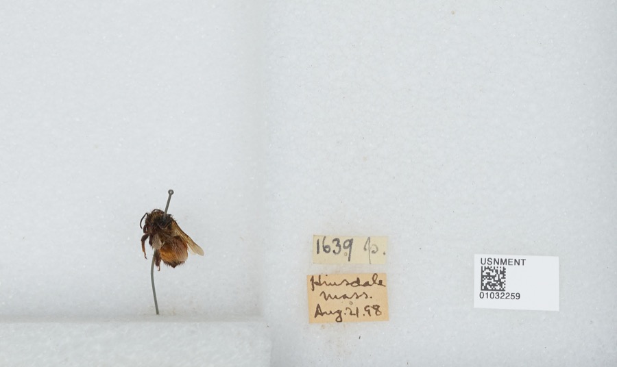 | Bombus ternarius Say, 1837 | 1898 | [Not Stated] | Hinsdale |
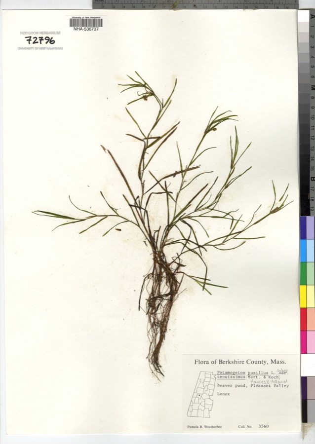 | Potamogeton pusillus subsp. tenuissimus (Mert. & W.D.J.Koch) K.Richt. | 1900 | P. B. Weatherbee | |
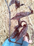 | Persicaria amphibia (L.) Delarbre | 1835 | C. A. Shurtleff | Pittsfield |
 | Solidago patula Muhl. ex Willd. | 1858 | Brewer; Chickering | |
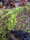 | Hypnum pallescens (Hedw.) P.Beauv. | 1866 | not recorded | Mts. of [New] Lebanon |
 | Platyhypnidium riparioides (Hedw.) Dixon | 1866 | not recorded | Mts. of New Lebanon |
 | Homalia jamesii Schimp. | 1867 | unknown | Waconah Falls State Park |
 | Homalia trichomanoides (Hedw.) Schimp. | 1867 | E. C. Howe | |
 | Potentilla fruticosa L. | 1868 | Redfield, J.H. | Pittsfield |
 | Asplenium rhizophyllum L. | 1871 | Faxon, W. | Lenox |
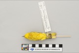 | Dendroica petechia aestiva (J.F.Gmelin, 1789) | 1896 | Benjamin Hoag | Stephentown, Garfield |
 | Archilochus colubris (Linnaeus, 1758) | 1897 | Hoag, B | Stephentown |
All 983 specimens within 10 miles, at the Global Biodiversity Information Facility.
Mines and quarries nearby
10 of 13 shownThe federal mineral resources record lists 13 workings within 5 miles of Pittsfield: 7 past producers, 4 producers, 1 unknown, 1 occurrence. 4 still produce. What was taken out: Sand and Gravel, Construction, Iron. Distance is straight-line from the map coordinates, so a quarry counted here may appear on a neighbouring settlement's page as well.
| Where | Site | Commodity | Status | Recorded |
|---|---|---|---|---|
| Colby Mine | Iron | Past Producer | Residual | |
| Colby Mine | Iron | Producer | 1856 | |
| Colby Mine | Iron | Occurrence | ||
| Shaker Mine | Iron | Past Producer | Limonite | |
| Shaker Mine | Iron | Past Producer | Residual | |
| Shaker Mine | Iron | Past Producer | ||
| Berkshire Pit | Sand and Gravel, Construction | Producer | ||
| Dalton Pit /Genrl Sand & Stone | Sand and Gravel, Construction | Producer | ||
| Dalton Plant | Sand and Gravel, Construction | Unknown | ||
| General Sand and Stone Pit | Sand and Gravel, Construction | Past Producer |
Storms nearby
60 of 98 shownThe National Weather Service names Pittsfield in 98 storm reports between 1994 and 2025: 64 thunderstorm wind, 17 hail, 13 flash flood, 3 flood. The reports record 1 injury. Each account below is quoted exactly as the forecast office filed it, from the NOAA Storm Events Database, and each date opens the federal record of that event.
| When | Event | Place named | Harm | What the report says |
|---|---|---|---|---|
| July 1995 | Thunderstorm Wind | Pittsfield | 1 hurt | no account filed |
| May 2000 | Thunderstorm Wind | Pittsfield | $101,000 | no account filed |
| July 2001 | Thunderstorm Wind | Pittsfield | $31,000 | no account filed |
| June 2000 | Thunderstorm Wind | Pittsfield | $31,000 | no account filed |
| August 2004 | Tornado (F0) | Pittsfield | $25,000 | Survey team observed several structures with shingle damage to roofs. Many limbs and several trees were knocked down. Upon observation these trees were determined to be shallow rooted. Roofs dislodged from clubhouse and dugout of Waconah Park baseball stadium. Eyewitnesses with various vantage points reported observing rotating debris consistent with a tornado. Additional reports indicate a portion of the fencing at Waconah Park was also knocked down, and bleachers along the left field were pushed backward. In addition, trees and wires were downed on Tyler Street and Woodlawn Avenue, and two moored motor boats at Burbank Park were flipped over and partially submerged. There was also a report of a tree falling on a house on Charles Street. Top winds estimated at 70 mph. |
| December 2000 | Thunderstorm Wind | Pittsfield | $25,000 | no account filed |
| December 2000 | Thunderstorm Wind | Pittsfield | $15,000 | no account filed |
| May 1999 | Thunderstorm Wind | Pittsfield | $12,000 | A line of thunderstorms, that developed over eastern New York, moved into southern Berkshire county shortly after noon on May 25. This line of storms continued to produce strong gusty winds that brought numerous large trees and power lines down throughout the city of Pittsfield. |
| June 2001 | Thunderstorm Wind | Pittsfield | $12,000 | no account filed |
| July 2003 | Thunderstorm Wind | Pittsfield | $10,000 | no account filed |
| May 1998 | Thunderstorm Wind | Pittsfield | $10,000 | no account filed |
| May 1998 | Hail | Pittsfield | $8,000 | no account filed |
| July 1998 | Thunderstorm Wind | Pittsfield | $5,000 | A cold front moving east into Berkshire County triggered widely scattered severe thunderstorms. The storms brought down large limbs and power lines in the town of Pittsfield. |
| July 1998 | Thunderstorm Wind | Pittsfield | $5,000 | no account filed |
| June 2000 | Flash Flood | Pittsfield | $3,000 | no account filed |
| June 1996 | Hail | Pittsfield | $3,000 | no account filed |
| July 1997 | Thunderstorm Wind | Pittsfield | $2,000 | no account filed |
| May 1997 | Hail | Pittsfield | $2,000 | no account filed |
| August 1996 | Hail | Pittsfield | $2,000 | no account filed |
| August 2017 | Flash Flood | Pittsfield | $1,000 | The eastbound side of East Housatonic Street was closed to traffic. A sewer cover was popped off. |
| August 2017 | Flash Flood | Pittsfield | $1,000 | North Street was flooded with cars stuck in the water. |
| August 2017 | Flash Flood | Pittsfield | $1,000 | Fourth Street near Silver Lake was flooded with a possible washout. |
| August 2004 | Thunderstorm Wind | Pittsfield | $1,000 | Large trees uprooted. Car windshield shattered, and large sign torn off parking garage at the Berkshire Medical Center Campus. |
| June 1996 | Thunderstorm Wind | Pittsfield | $1,000 | no account filed |
| May 2025 | Thunderstorm Wind | Pittsfield | - | An amateur radio operator reported several trees down along May Terrace in Pittsfield. |
| May 2025 | Thunderstorm Wind | Pittsfield | - | An amateur radio operator reported a tree down on a wire along Putnam Avenue in Pittsfield. |
| July 2024 | Thunderstorm Wind | Pittsfield | - | An amateur radio operator reported several trees down in the town of Pittsfield. |
| July 2024 | Thunderstorm Wind | Pittsfield | - | An amateur radio operator reported two trees, 30 inches in diameter, down on Springdale Avenue near Dartmouth Street. |
| July 2024 | Thunderstorm Wind | Pittsfield | - | An amateur radio operator reported a tree down on a car on Second Street in Pittsfield. |
| September 2023 | Thunderstorm Wind | Pittsfield | - | A tree and phone pole were down on Berkshire Avenue. |
| September 2023 | Thunderstorm Wind | Pittsfield | - | A tree and wires were down on Alcove Street. |
| September 2023 | Thunderstorm Wind | Pittsfield | - | A tree and wires were down on Stoddard Avenue. |
| September 2023 | Thunderstorm Wind | Pittsfield | - | A tree was down on Pecks Road. |
| September 2023 | Thunderstorm Wind | Pittsfield | - | A tree was down on a house on Benedict Road. |
| July 2023 | Flash Flood | Pittsfield | - | Bradford Street, Center Street, and Union Street were all closed due to flooding. |
| July 2023 | Thunderstorm Wind | Pittsfield | - | Trees were reported down in and around Pittsfield, Massachusetts. |
| March 2022 | Thunderstorm Wind | Pittsfield | - | A tree was reported down on Richard Dr. |
| July 2021 | Flash Flood | Pittsfield | - | North Street was closed between Burke Avenue and New Road in Pittsfield due to flooding. |
| July 2021 | Flood | Pittsfield | - | Minor street flooding as well as some flooding in yards in the City of Pittsfield. |
| July 2021 | Thunderstorm Wind | Pittsfield | - | A tree was downed on Circular Avenue in the City of Pittsfield. |
| September 2021 | Thunderstorm Wind | Pittsfield | - | Wires were reported down on Wahconah Street. |
| May 2020 | Thunderstorm Wind | Pittsfield | - | A tree was downed into a house on Pecks Road. |
| May 2020 | Thunderstorm Wind | Pittsfield | - | Wires were downed on Holmes Road. |
| July 2020 | Thunderstorm Wind | Pittsfield | - | A large tree was snapped. |
| August 2019 | Thunderstorm Wind | Pittsfield | - | Multiple reports of trees downed in and near the town of Pittsfield. |
| May 2018 | Thunderstorm Wind | Pittsfield | - | A tree was downed on McArthur Street. |
| August 2018 | Thunderstorm Wind | Pittsfield | - | A large tree was down blocking one lane. |
| June 2017 | Thunderstorm Wind | Pittsfield | - | A tree was down blocking the road at the intersection of Cherry Street and Willow Street in Pittsfield due to thunderstorm winds. |
| August 2017 | Thunderstorm Wind | Pittsfield | - | A large tree and wires were down on a residence. |
| August 2016 | Thunderstorm Wind | Pittsfield | - | Trees were reported down in Pittsfield due to thunderstorm winds. |
| August 2016 | Thunderstorm Wind | Pittsfield | - | Wires were reported down on Pecks Road in Pittsfield due to thunderstorm winds. |
| May 2016 | Thunderstorm Wind | Pittsfield | - | Trees were reported down on Elm Street and Dorchester Avenue in Pittsfield due to thunderstorm winds. |
| August 2015 | Hail | Pittsfield | - | Quarter size hail was reported during a thunderstorm at the intersection of Dalton Avenue and Westminster Avenue in Pittsfield. |
| May 2015 | Thunderstorm Wind | Pittsfield | - | Trees were reported down in Pittsfield due to thunderstorm winds. |
| July 2014 | Flash Flood | Pittsfield | - | Heavy rainfall from thunderstorms led to flash flooding in Pittsfield. Travel was impeded across the city due to high water on city roadways. |
| July 2014 | Thunderstorm Wind | Pittsfield | - | Trees were reported to be down and on cars in Pittsfield as a result of thunderstorm winds. |
| July 2014 | Flash Flood | Pittsfield | - | Over 6 inches of water was flowing across King Street in Pittsfield due to heavy rainfall from thunderstorms. |
| July 2014 | Flash Flood | Pittsfield | - | Several roads in Pittsfield were closed due to flash flooding from thunderstorm heavy rainfall, including East Street and Merrill Road. |
| June 2013 | Hail | Pittsfield | - | A user on Facebook reported nickel to quarter size hail during a thunderstorm in Pittsfield. |
| September 2012 | Thunderstorm Wind | Pittsfield | - | Two trees were reported down due to thunderstorm winds in Pittsfield. |
Nearest settlements
The eight closest, with where each one stands in the county. Distances are straight-line, computed from the Geographic Names Information System coordinates.
| Map | Place | Distance | Sheets |
|---|---|---|---|
| Lakewood | 1.0 miles | 37 | |
| Victory Hill | 1.5 miles | 37 | |
| Pontoosuc | 2.0 miles | 37 | |
| Adams Junction | 2.1 miles | 37 | |
| Yankee Orchards | 2.5 miles | 37 | |
| Coltsville | 2.5 miles | 37 | |
| Camp Sumner | 2.6 miles | 37 | |
| Camp Stevenson | 2.6 miles | 44 |
Elsewhere
Matched on this settlement's Geographic Names Information System number rather than its name, so it cannot be a different place of the same name in another state.
| Wikipedia article on Pittsfield | An encyclopaedic summary. Its text is share-alike, so it is linked here rather than copied. |
| Wikidata item Q49184 | The structured record the population and elevation above come from. Public domain (CC0). |
Provenance
This settlement is recorded in the Geographic Names Information System as feature 607643. The sheet list is computed by point-in-boundary test against the United States Geological Survey's historical topographic inventory. Both are works of the United States government and carry no copyright under 17 U.S.C. 105.
Wildfire. Short, Karen C. 2022. Spatial wildfire occurrence data for the United States, 1992-2020 [FPA_FOD_20221014]. 6th Edition. Fort Collins, CO: Forest Service Research Data Archive. https://doi.org/10.2737/RDS-2013-0009.6 Collected with United States Government funding and usable without additional permissions or fees.
Specimens. Global Biodiversity Information Facility (GBIF), https://www.gbif.org/. Only records licensed CC0 or CC BY are used. Records licensed CC BY-NC are excluded because this site carries advertising. Images are checked individually and any whose licence is non-commercial, no-derivatives or unreadable is refused.
Mines and quarries. USGS Mineral Resources Data System (MRDS) https://mrdata.usgs.gov/mrds/ A work of the United States government, no copyright under 17 U.S.C. 105.
Storms. NOAA National Centers for Environmental Information, Storm Events Database https://www.ncei.noaa.gov/stormevents/ A work of the United States government, no copyright under 17 U.S.C. 105. Narratives are quoted verbatim from the National Weather Service report and are not edited or summarised.