 Block
Block
Ware, Massachusetts
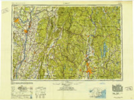
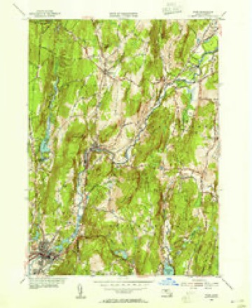
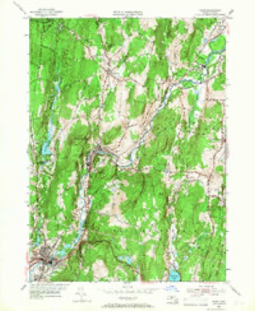
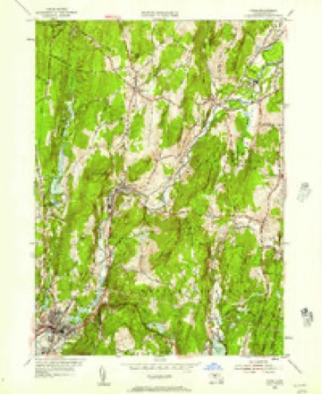
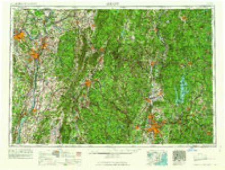
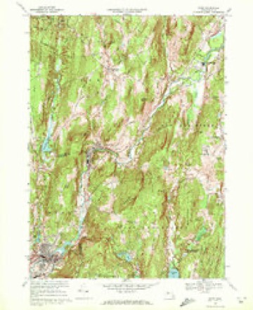
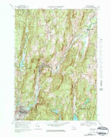
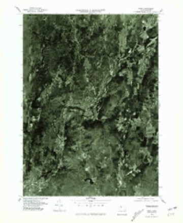
30 topographic sheets cover this place, the earliest surveyed in 1887 and the latest in 1985. It stands in Ware town. It lies in ZIP code area 01082. The Survey maps it on the Ware quadrangle. 6,266 people lived here at the 2020 count. It stands 423 feet above sea level.
Population over time
3 figuresWare grew from 6,174 to 6,266 between 2000 and 2020. These are the recorded population figures Wikidata holds for this place, reached through the Geographic Names Information System number this page is keyed on rather than by name, so they belong to this place and not to another of the same name. Most are census counts, but not all are: an early figure may be a founding or settlement estimate. The change column is computed, and is left blank where more than 20 years separate a figure from the one before it, because a gap that long is not a change between two counts.
| Year | People | Change |
|---|---|---|
| 2000 | 6,174 | |
| 2010 | 6,170 | -4 (-0%) |
| 2020 | 6,266 | +96 (+2%) |
Then and now
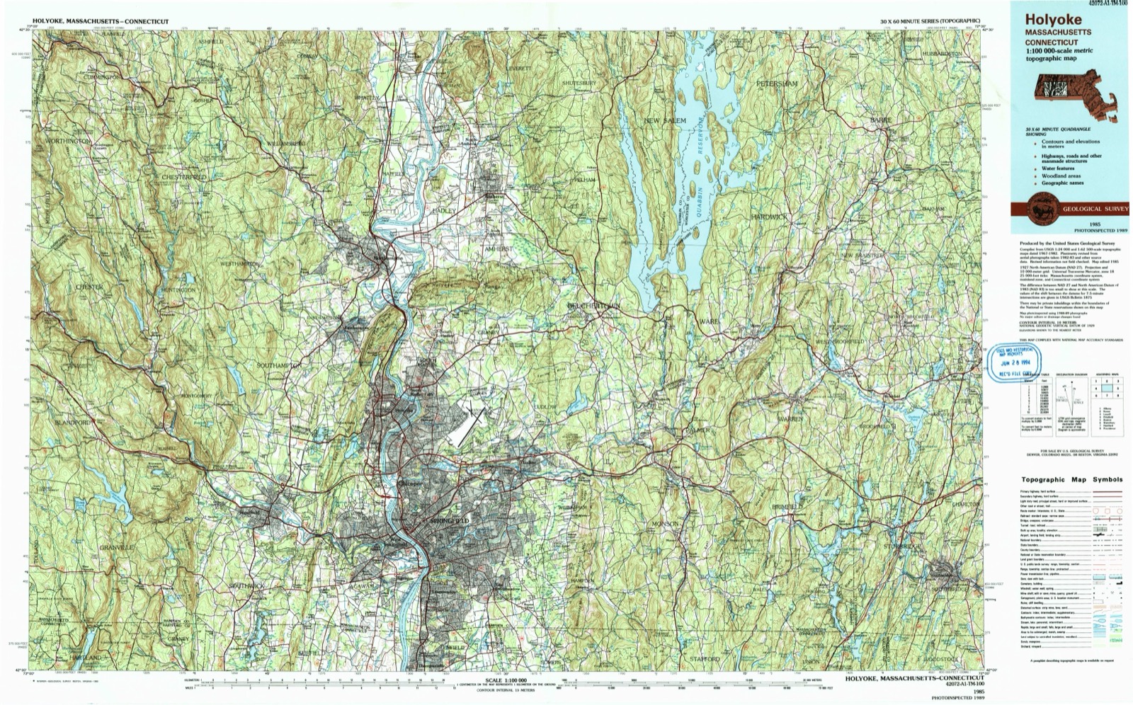
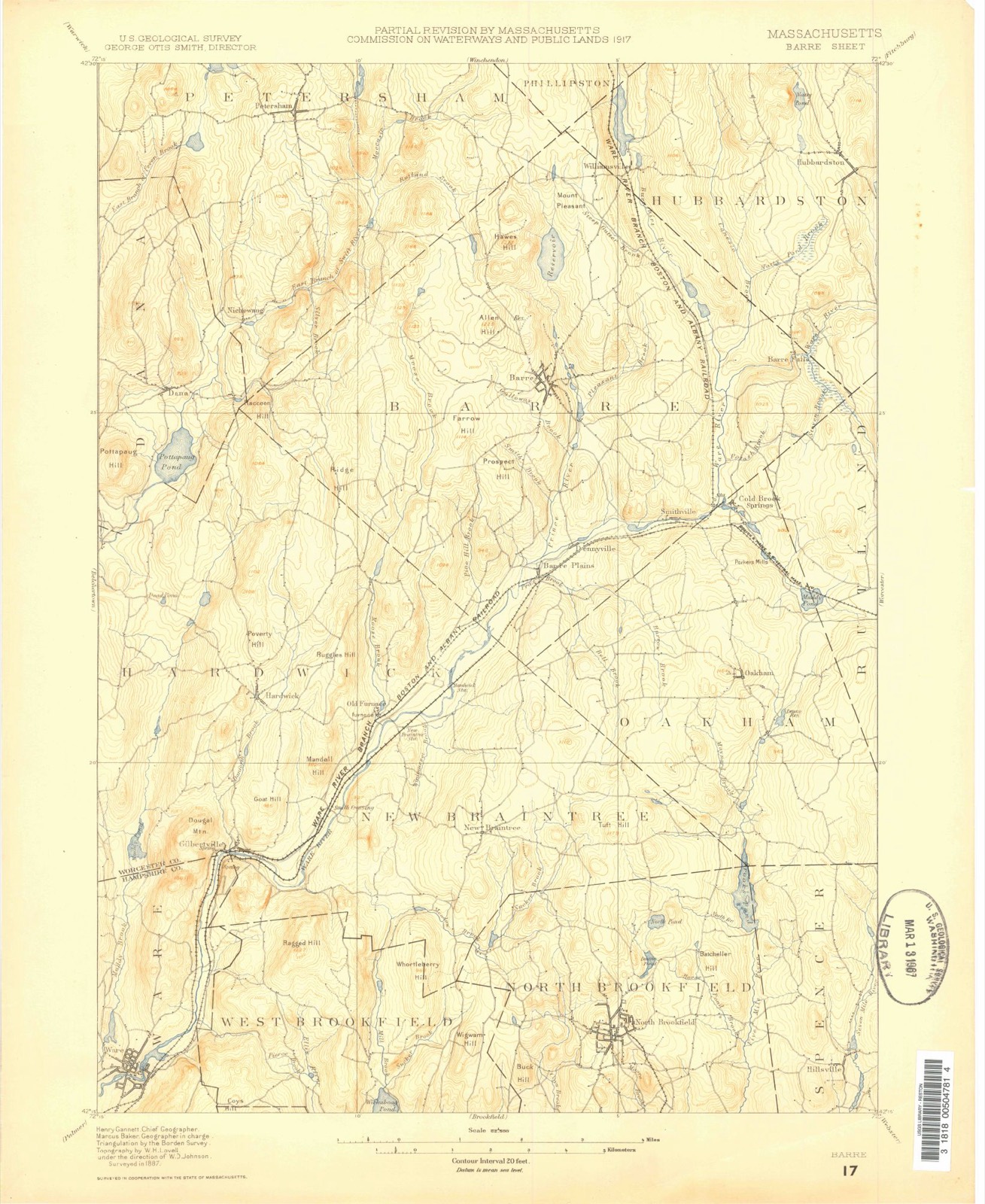
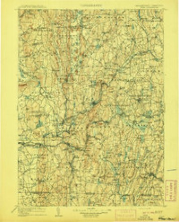
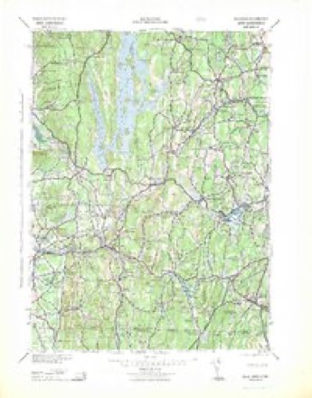
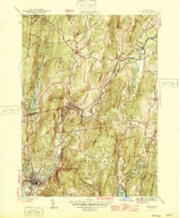
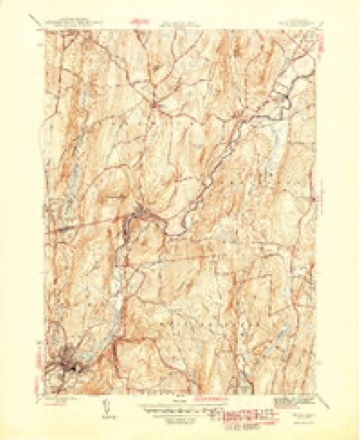
1887 to 1985The same ground, surveyed 98 years apart. Drag the handle to wipe between them. Both sheets are United States Geological Survey originals; neither has been altered.
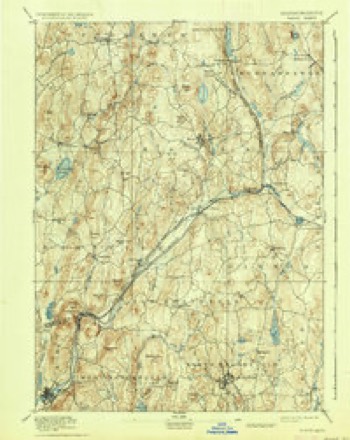
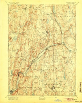
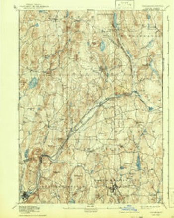
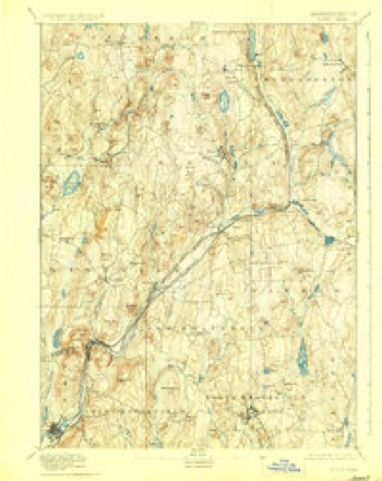
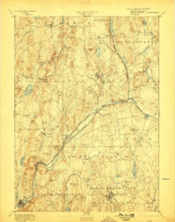
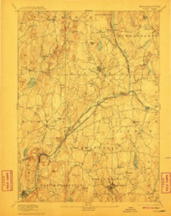
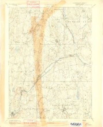
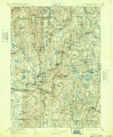
Topographic sheets covering this place
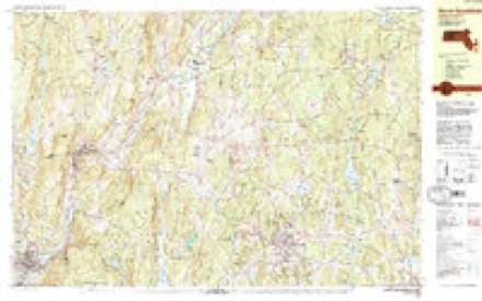
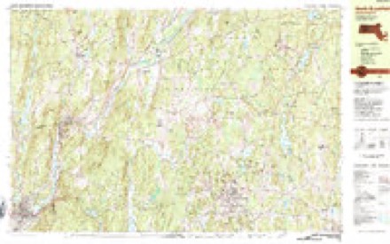
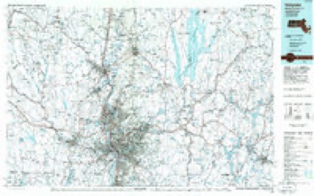
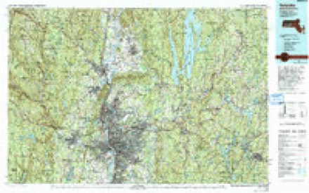
30 sheetsMatched by testing this settlement's coordinate against the published boundary of every sheet in the United States Geological Survey's historical collection. Each opens the scanned sheet at the Survey.
- 1887 USGS Barre quadrangle1:62500
- 1889 USGS Barre quadrangle1:62500
- 1894 USGS Barre quadrangle1:62500
- 1894 USGS Barre quadrangle1:62500
- 1894 USGS Barre quadrangle1:62500
- 1894 USGS Barre quadrangle1:62500
- 1894 USGS Barre quadrangle1:62500
- 1894 USGS Barre quadrangle1:62500
- 1894 USGS Barre quadrangle1:62500
- 1908 USGS Ware quadrangle1:125000
- 1908 USGS Ware quadrangle1:125000
- 1942 USGS Ware quadrangle1:125000
- 1946 USGS Ware quadrangle1:31680
- 1946 USGS Ware quadrangle1:31680
- 1948 USGS Albany quadrangle1:250000
- 1954 USGS Ware quadrangle1:31680
- 1954 USGS Ware quadrangle1:24000
- 1954 USGS Ware quadrangle1:24000
- 1956 USGS Albany quadrangle1:250000
- 1956 USGS Albany quadrangle1:250000
- 1957 USGS Albany quadrangle1:250000
- 1959 USGS Albany quadrangle1:250000
- 1962 USGS Albany quadrangle1:250000
- 1969 USGS Ware quadrangle1:24000
- 1969 USGS Ware quadrangle1:25000
- 1975 USGS Ware quadrangle1:25000
- 1982 USGS North Brookfield quadrangle1:25000
- 1982 USGS North Brookfield quadrangle1:25000
- 1985 USGS Holyoke quadrangle1:100000
- 1985 USGS Holyoke quadrangle1:100000
In the county-history sources
6,162 words on this townshipGeology of Old Hampshire County, Massachusetts : Comprising Franklin, Hampshire, and Hampden Counties, published 1898 names this settlement in its chapter on Ware Town. These are the passages that mention it, exactly as the scans read.
The eastern band of schists leaves the county at the south line of Orange, and, traversing Worcester County for a long distance, reenters the area of the map in Ware and crosses Palmer and Monson. The fourfold division of the schists, which has been persistent over so large an area, and which seems to be somewhat less distinct at the beginning of this band in Orange, here fails entirely. It is reduced to a twofold division of amphibolites below, resting directly upon the Monson gneiss, and a great volume of fibrolitic mica-schists, the lower portion of which may represent the whetstone-schist, but in which no persistent lithological distinctions can be established.
Passage source: Geology of Old Hampshire County, Massachusetts : Comprising Franklin, Hampshire, and Hampden Counties, published 1898.
Mica-schist from Ware. In the bluff near the contact of mica-schist on hornblende-schist, 175 rods southwest of B. Bond's house, is seen a black, fine-grained schist with wavy, shining lamination surface, which may almost be called an argillite, with rarely deep-red garnets and large porphyi-itic spots of white feldspar.
Passage source: Geology of Old Hampshire County, Massachusetts : Comprising Franklin, Hampshire, and Hampden Counties, published 1898.
Across this town the western band of amphibolite is broad and well marked; it commences where the town line runs north nearly to the Ware River, and continues south to Fentonville, being well exposed west of E. Shorley's in the middle of its length. The eastern band is wanting.
Passage source: Geology of Old Hampshire County, Massachusetts : Comprising Franklin, Hampshire, and Hampden Counties, published 1898.
Machine-read from a century-old scan, so expect the errors a machine makes: misspelled names, dropped words, stray characters.
Read the whole chapter on Ware Town - it names this place 5 more 5 times.
Fires near this place
34 since 2015Regional context, not property-specific evidence. The federal wildfire occurrence database lists 34 fires within 5 miles of Ware between 2015 and 2020, burning about 17 acres in total. 7 started naturally. None was recorded as arson. Distance is straight-line from the map coordinates, so a fire counted here may appear on a neighbouring settlement's page as well.
| Reported cause | Fires |
|---|---|
| Equipment and vehicle use | 10 |
| Missing data/not specified/undetermined | 9 |
| Natural | 7 |
| Recreation and ceremony | 4 |
| Debris and open burning | 3 |
| Smoking | 1 |
The most recent of them, most recent first, with the day each was reported and the service that recorded it.
| Date | Cause | Size | Reported by | Name on the report |
|---|---|---|---|---|
| 10 September 2016 | Equipment and vehicle use | under an acre | Massachusetts Bureau of Forest Fire Control | not named |
| 9 July 2020 | Debris and open burning | under an acre | Massachusetts Bureau of Forest Fire Control | not named |
| 5 June 2015 | Natural | under an acre | Massachusetts Bureau of Forest Fire Control | not named |
| 27 June 2020 | Debris and open burning | under an acre | Massachusetts Bureau of Forest Fire Control | not named |
| 9 May 2015 | Equipment and vehicle use | under an acre | Massachusetts Bureau of Forest Fire Control | not named |
| 4 May 2015 | Equipment and vehicle use | 2.0 acres | Massachusetts Bureau of Forest Fire Control | not named |
| 31 May 2020 | Recreation and ceremony | under an acre | Massachusetts Bureau of Forest Fire Control | not named |
| 27 May 2015 | Recreation and ceremony | under an acre | Massachusetts Bureau of Forest Fire Control | not named |
Settlements close enough to share some of these fires:
Specimens collected near this place
12 of 419 shownRegional context, not property-specific evidence. Museums hold 419 specimens collected within 10 miles of Ware between 1857 and 1975: 225 Animalia, 123 Plantae, 70 Fungi, 1 Chromista. 12 distinct Species records are shown. Collected by A. C. Gibson, A. Lavallee, A. P. Chute and others. Each is a physical object with a catalogue number, and each entry opens the museum's record. This is what was collected and kept, not a survey of what lives here - nothing can be concluded from a species being absent.
| Image | Species | Year | Collected by | Where, as recorded |
|---|---|---|---|---|
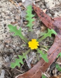 | Krigia virginica (L.) Willd. | 1857 | not recorded | |
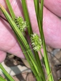 | Carex cephalophora Muhl. ex Willd. | 1858 | J. Blake | |
 | Carex vestita Willd. | 1858 | J. Blake | Ware |
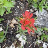 | Castilleja coccinea (L.) Spreng. | 1858 | A. P. Chute | |
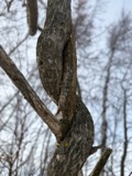 | Celastrus scandens L. | 1858 | s.coll. | |
 | Ranunculus flabellaris Raf. | 1858 | A. P. Chute | |
| Trifolium agrarium L. | 1858 | not recorded | ||
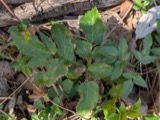 | Zizia aurea (L.) W.D.J.Koch | 1859 | A. P. Chute | |
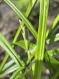 | Carex tribuloides Wahlenb. | 1870 | H. G. Jesup | Belchertown |
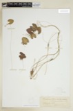 | Nymphoides lacunosa (Vent.) Kuntze | 1870 | H. G. Jesup | Belchertown |
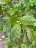 | Ilex laevigata (Pursh) A.Gray | 1872 | H. G. Jesup | |
 | Menyanthes trifoliata L. | 1872 | H. G. Jesup |
All 419 specimens within 10 miles, at the Global Biodiversity Information Facility.
Mines and quarries near this place
6 within 5 milesRegional context, not property-specific evidence. The federal mineral resources record lists 6 workings within 5 miles of Ware: 4 past producers, 1 producer, 1 plant. 2 still produce. What was taken out: Sand and Gravel, Construction. Distance is straight-line from the map coordinates, so a quarry counted here may appear on a neighbouring settlement's page as well.
| Where | Site | Commodity | Status | Recorded |
|---|---|---|---|---|
| A Giard and Sons | Sand and Gravel, Construction | Past Producer | Sedimentary | |
| B and C Gravel Company | Sand and Gravel, Construction | Past Producer | ||
| Cemetery Road Pit | Sand and Gravel, Construction | Past Producer | ||
| Tobias Pit | Sand and Gravel, Construction | Producer | ||
| Ware Pit | Sand and Gravel, Construction | Past Producer | ||
| Ware Pit & Plant | Sand and Gravel, Construction | Plant |
Storms near this place
28 since 1995Regional context, not property-specific evidence. The National Weather Service names Ware in 28 storm reports between 1995 and 2025: 18 thunderstorm wind, 4 flood, 3 hail, 2 lightning. The reports record 3 injuries. Each account below is quoted exactly as the forecast office filed it, from the NOAA Storm Events Database, and each date opens the federal record of that event.
| When | Event | Place named | Harm | What the report says |
|---|---|---|---|---|
| August 2013 | Lightning | Ware | 3 hurt, $1,000 | Lightning struck the medical office building on the campus of Baystate Mary Lane Hospital in Ware, blowing out the building's electrical panel. In addition, three people who were on the telephone at the time of the strike reported feeling numbness and a tingling in their arms. All three walked over to the hospital to be checked out and were fine. |
| July 2008 | Flash Flood | Ware | $210,000 | In Amherst, a newly paved driveway washed out onto Bay Road. There was substantial damage on the University of Massachusetts-Amherst campus. In the Morrill Science Center IV, a transformer blew up when one foot of water flooded the room where it is housed. Two to six feet of water flooded portions of the Murray D. Lincoln campus center damaging meeting rooms, offices, and one escalator. Finally, in the Boyden Gymnasium, floodwaters caused a concrete gym floor to heave. In Ware, Anderson Road was flooded out, closing the road. |
| July 2010 | Lightning | Ware | $100,000 | A lightning strike ignited an attic and chimney fire at a house on Pinecrest Circle in Ware. |
| May 2010 | Thunderstorm Wind | Ware | $25,000 | Numerous trees and wires were downed in Ware, including along Gilbertville and Campbell Roads. Six other roads were also closed due to the downed trees and wires. |
| May 2025 | Thunderstorm Wind | West Ware | $10,000 | In Ware, power lines was down on cars. |
| July 2008 | Thunderstorm Wind | Ware | $8,000 | Trees and wires on Route 9 and North and Prospect Streets were downed by thunderstorm winds. A telephone pole also was downed by these winds. |
| August 2009 | Thunderstorm Wind | Ware | $7,500 | A utility pole on Brimfield Road was downed by thunderstorm winds. |
| May 2025 | Thunderstorm Wind | Ware | $5,000 | In Ware, a roof collapsed on Cherry St. |
| August 2016 | Flood | Ware | $5,000 | A car was stuck in floodwaters on Pleasant Street. |
| May 2015 | Thunderstorm Wind | Ware | $5,000 | A large tree on Ware Brook Drive was downed by thunderstorm winds. |
| July 2012 | Thunderstorm Wind | Ware | $5,000 | A tree on Route 32 was downed by thunderstorm winds. |
| July 2006 | Thunderstorm Wind | Ware | $5,000 | no account filed |
| July 2024 | Thunderstorm Wind | Ware | $2,000 | In Ware, trees and wires were down on West Warren Rd, Maple St, and South St. |
| August 2020 | Thunderstorm Wind | West Ware | $1,800 | In Ware, trees and wires were down on Belchertown Rd and a tree was down on Beaver Rd. |
| July 2020 | Thunderstorm Wind | Ware | $500 | In Ware, several large tree branches were downed. |
| July 2019 | Flood | Ware | - | Flooding was reported on Spring Street in Ware. |
| January 2018 | Flood | Ware | - | At 1018 AM EST, an amateur radio operator reported flooding related to an ice jam on the Ware River in Ware. The Ware Airport was flooded, and a portion of Church Street was closed. |
| February 2016 | Thunderstorm Wind | Ware | - | An amateur radio operator recorded a wind gust of 65 mph on their home weather station in Ware. No damage was reported. |
| July 2013 | Thunderstorm Wind | Ware | - | An aluminum dock on Beaver Lake was overturned by thunderstorm winds. |
| September 2011 | Flood | West Ware | - | One lane of Route 9, starting at the Belchertown line, was closed due to flooding. In addition, several small streams and rivers went into flood during this time. No damage was reported with this flooding. These rivers included: the West branch of the Westfield River at Huntington, the Mill River, and the Connecticut River at Northampton. |
| June 2007 | Thunderstorm Wind | Ware | - | Trees and wires down on Cottage Street, Palmer Road, High Street, and Bridge Street. |
| June 2007 | Thunderstorm Wind | Ware | - | Large trees down on Shoreline Drive. |
| July 2007 | Thunderstorm Wind | Ware | - | Trees and wires downed. |
| August 2008 | Hail | Ware | - | no account filed |
| July 2001 | Hail | Ware | - | no account filed |
| July 1997 | Thunderstorm Wind | Ware | - | no account filed |
| August 1995 | Hail | Ware | - | no account filed |
| August 1995 | Thunderstorm Wind | Ware | - | no account filed |
Nearest settlements
The eight closest, with where each one stands in the county. Distances are straight-line, computed from the Geographic Names Information System coordinates.
| Map | Place | Distance | Sheets |
|---|---|---|---|
| Ware Center | 1.8 miles | 32 | |
| Gibbs Crossing | 3.0 miles | 35 | |
| West Ware | 4.9 miles | 32 | |
| Cold Spring | 6.2 miles | 35 | |
| Enfield (historical) | 6.3 miles | 32 | |
| Bardwell | 7.4 miles | 35 | |
| South Quabbin Villa | 7.4 miles | 32 | |
| Belchertown | 8.6 miles | 32 |
Elsewhere
Matched on this settlement's Geographic Names Information System number rather than its name, so it cannot be a different place of the same name in another state.
| Wikipedia article on Ware | An encyclopaedic summary. Its text is share-alike, so it is linked here rather than copied. |
| Wikidata item Q7969240 | The structured record the population and elevation above come from. Public domain (CC0). |
Provenance
This settlement is recorded in the Geographic Names Information System as feature 609762. The sheet list is computed by point-in-boundary test against the United States Geological Survey's historical topographic inventory. Both are works of the United States government and carry no copyright under 17 U.S.C. 105.
Wildfire. Short, Karen C. 2022. Spatial wildfire occurrence data for the United States, 1992-2020 [FPA_FOD_20221014]. 6th Edition. Fort Collins, CO: Forest Service Research Data Archive. https://doi.org/10.2737/RDS-2013-0009.6 Collected with United States Government funding and usable without additional permissions or fees.
Specimens. Global Biodiversity Information Facility (GBIF), https://www.gbif.org/. Only records licensed CC0 or CC BY are used. Records licensed CC BY-NC are excluded because this site carries advertising. Images are checked individually and any whose licence is non-commercial, no-derivatives or unreadable is refused.
Mines and quarries. USGS Mineral Resources Data System (MRDS) https://mrdata.usgs.gov/mrds/ A work of the United States government, no copyright under 17 U.S.C. 105.
Storms. NOAA National Centers for Environmental Information, Storm Events Database https://www.ncei.noaa.gov/stormevents/ A work of the United States government, no copyright under 17 U.S.C. 105. Narratives are quoted verbatim from the National Weather Service report and are not edited or summarised.