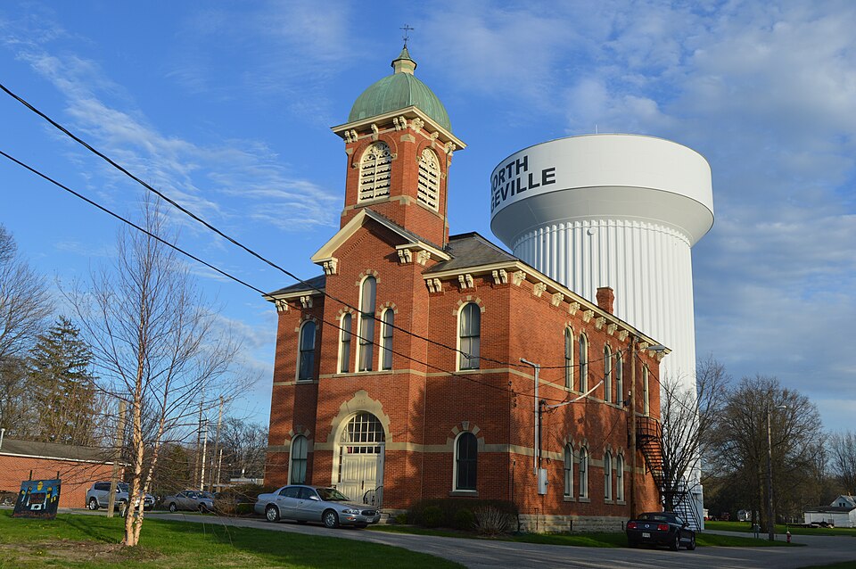
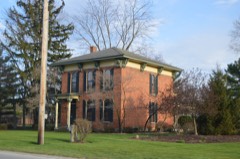
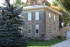
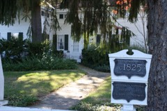
Listed on the National Register of Historic Places in
1974. A historic map-sheet match is not published yet. The record needs a coordinate-quality review before it can be joined to a sheet boundary.
From the record
one of 113 National Register listings in Lorain County · listed in 1974 · category: Building · one of 2 National Historic Landmarks in Lorain County.
National Register reference number.74001553- the number the National Park Service assigned this property when it was listed, and the key its nomination file is catalogued under at the National Archives.
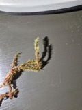
Specimens collected near this property
12 of 1,464 shown
Regional context, not property-specific
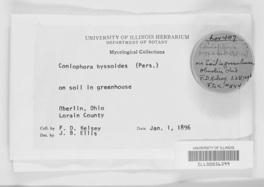
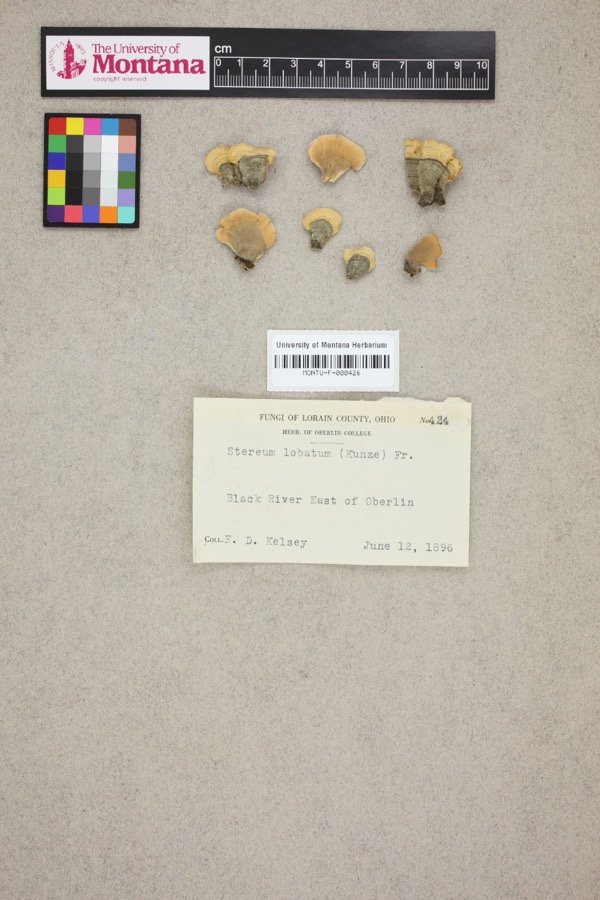
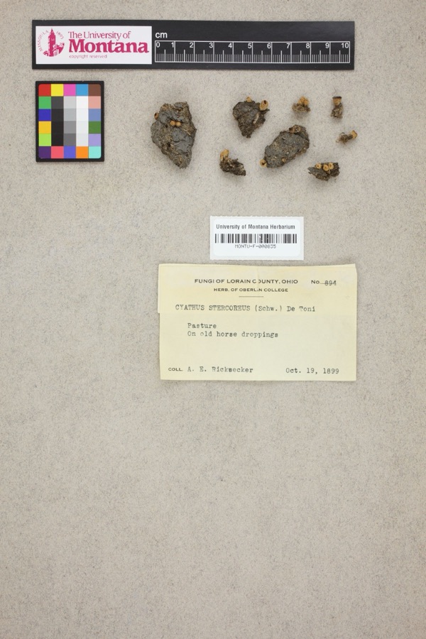
evidence. Museums hold 1,464 specimens
collected within 10 miles of North Ridgeville City Hall between 1853 and
1975: 1,124 Animalia, 270 Fungi, 58 Plantae, 8 Protozoa, 4 Unrecorded. 12 distinct Species records are shown.
Collected by ?, A. A. Wright, A. E. Ricksecker and others. Each is a
physical object with a catalogue
number, and each entry opens the museum's record. This is what was
collected and kept, not a survey of what lives here - nothing can be
concluded from a species being absent.
Regional context, not property-specific
evidence. The National Weather Service names
North Ridgeville, the town this property stands in, in 27 storm reports between 1995 and 2026: 16 thunderstorm wind, 9 hail, 1 flash flood, 1 flood.
No death or injury is recorded in these reports. Each account below is quoted exactly as the forecast office
filed it, from the NOAA Storm Events Database, and each date
opens the federal record of that event.
Thunderstorm winds downed several trees and large limbs in North Ridgeville knocking out power to as many as 2,000 customers. Limbs fell on a car on Harrison Street briefly trapping the driver. There were no injuries.
Lear Nagle north of Chestnut Ridge. Rd. closed due to creek flooding. On Mill Creek Lane two vehicles became submerged in several feet of water with rescues needed. The observed 48 hr rainfall totals were 3.21 in Elyria.
Flooding caused havoc on several roads in North Ridgeville. Lear Nagle Road was closed north of Chestnut Ridge Road because of creeks overflowing their banks. Bainbridge Rd. was closed between Root and SR 83.
No historic map-sheet match is published
for this property yet. That does not mean no map exists. This record needs
a coordinate-quality review before it can be joined to a sheet boundary.
Browse the county's mapped places while that work is
pending.
From the nomination file
1,479 words on record
When this property was proposed for the
National Register, someone wrote the case for it: what the building is,
and why it matters. That document is a federal record in the public domain.
It is quoted below word for word, never summarised. The text was read off the scanned case file by machine, so the
occasional stray character is the recogniser's and the 1970s
typewriter's.
Description of the property
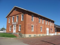
it is not part of a historic district. soirs are of stone and inscribed with the date 1882".Above the PERIOD (Check One or More as Appropriate) - Pre-Columbian: X 19th Century SPECIFIC DATE(S) (If Applicable and Known) - Urban Planning - Prehistoric - Other (Specify) - Science STATEMENT OF
Statement of significance
sandstone quarrying, cheese factories, and a chair factory township business, with a second floor auditorium for social 1882 events. Conservation Transportation SIGNIFICANCE Military Commerce losophy Engineering Architecture Communications Aboriginal Art Theater itarian Literature Agriculture chief nineteenth century industries in Ridgeville were saw mills, Music Industry Landscape special geographical interest. Political This town hall is primarily significant as an excellent Invention Township do not follow the usual grid pattern of many other Sculpture Education which was productive and successful in the last quarter of the Western Reserve townships.This is because they run along its stylistic features, it represents a cultural lag compared built twenty years earlier.
example of a small public building in a conservative Italianate The first settlers from Waterbury, Connecticut, arrived in tower, and the alternating stone voussoirs of the arches. Other- Wellington, for example. Virtually the only concessions to the Social/Human- oldest in the county.It was originally called Rootstown after The Town Hall was built in 1882 as a place to conduct Ephraim Root, Connecticut Land Company surveyor. The wise the building differsin no essential respects from others 1809-1810,and the township was organized in 1813,the second Religion/Phi- taste of its actual date are the domical mansard roof of the It can be seen on the map that the roads of Ridgeville Because of the building's late date in relation to above the level of the lake.
idiom for its date, but it is also the seat of a township of a series of ridges, from southwest to northeast, formed by successive levels of the receding glacial lake which is now Lake Erie.The Town Hall stands on Center Ridge,150 feet to the Moorish Victorian fantasy which was being built in nearby The pattern of settlement of the township was not unusual.
Quoted from the National Register nomination
for reference 74001553, 9 pages, held by the National Archives in Record
Group 79. See the
catalogue record.
Listed places nearby
6 within 8 miles
Other National Register properties close
enough to walk or drive between, ordered by distance from this one. Both
positions come from the same geocoding pass that matched these properties
to their map sheets.
Listing record. National Park Service National Register of Historic Places, listed-properties dataset, current to 2026-05-22.
Map join. Address geocoded through the United States Census geocoder, then tested against the published boundary of every sheet in the USGS Historical Topographic Map Collection.
How this page is made. Listing fields come from federal records; map-sheet coverage is a labelled coordinate-to-boundary calculation, not a source-field claim.
Specimens. Global Biodiversity Information Facility (GBIF), https://www.gbif.org/. Only records licensed CC0 or CC BY are used. Records licensed CC BY-NC are excluded because this site carries advertising. Images are checked individually and any whose licence is non-commercial, no-derivatives or unreadable is refused.
Storms. NOAA National Centers for Environmental Information, Storm Events Database https://www.ncei.noaa.gov/stormevents/ A work of the United States government, no copyright under 17 U.S.C. 105. Narratives are quoted verbatim from the National Weather Service report and are not edited or summarised.
 Block
Block