Listed on the National Register of Historic Places in
1976. A historic map-sheet match is not published yet. The record needs a coordinate-quality review before it can be joined to a sheet boundary.
From the record
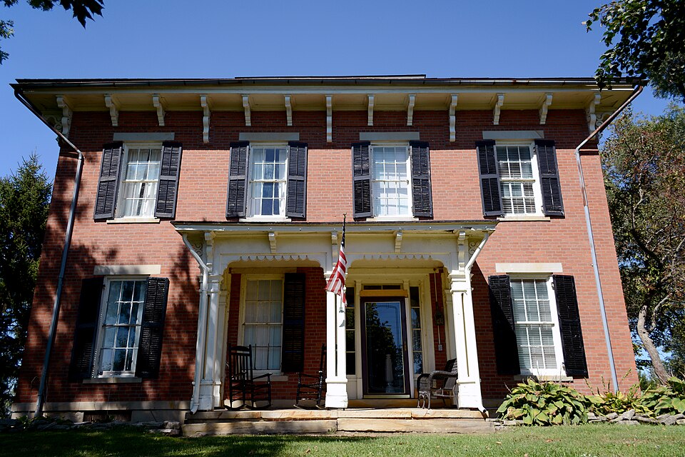
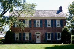
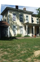
“Lyman Allen House and Barn is a registered historic building near Amanda, Ohio, listed in the National Register on 1976-11-18.”
Wikipedia article Lyman Allen House and Barn, CC BY-SA 4.0.
one of 29 National Register listings in Fairfield County · listed in 1976 · category: Building · one of 1 National Historic Landmarks in Fairfield County.
National Register reference number.76001420- the number the National Park Service assigned this property when it was listed, and the key its nomination file is catalogued under at the National Archives.
Amanda lies immediately north of Clear Creek. It is commonly understood that the name was given by William Hamilton, who was the first County Surveyor of Fairfield. It contains the villages of Amanda and Royalton. Amanda is eight miles west of Lancaster, on the Cincinnati Railroad. Its first proprietor was Samuel Kester, and its beginning was about 1830. Royalton is six or seven miles north of Amanda. It is a small village, and was known as Toby Town at the beginning of the settlements.
Frederick Leathers is spoken of as the first settler. He kept a tavern on the old Chillicothe road. Isaac Griffith succeeded him as landlord, and remained there until 1834, soon after which the house was burned. Other early settlers were : Disinger, William Ward, Mr. Norris, Mr. Denison, William Hamilton, Thomas Barr, John Christy and Mr. Morris, who acquired notoriety as a ring-fighter at public gatherings. A school-teacher, by the name of Solomon Grover, is spoken of ag having school in the upper story of his house, in 1817. A Presbyterian Church was organized in the village, in 1838, by Rev. Dr. Hogue, of Columbus. The first minister was William Jones. The first Sabbath-School in Amanda was inaugurated in 1860, by the Rev. Thorn.
Regional context, not property-specific
evidence. The
federal wildfire occurrence database
lists 3 fires within 5 miles of Allen, Lyman, House And Barn between
2019 and 2019, burning about 10 acres in total. None started naturally. None was recorded as arson.
Distance is straight-line from the map coordinates, so a fire counted
here may appear on a neighbouring settlement's page as well.
Reported cause
Fires
Debris and open burning
3
The most recent of
them, most recent first, with the day each was reported and the service
that recorded it.
Regional context, not property-specific
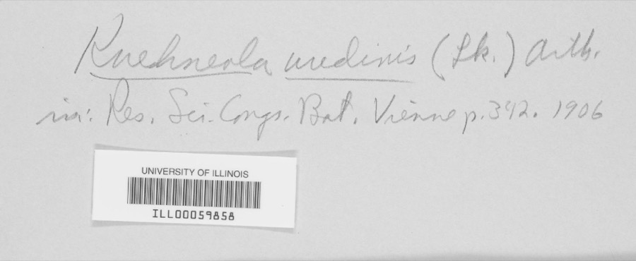
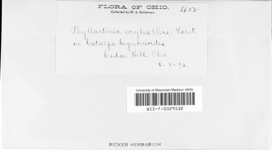
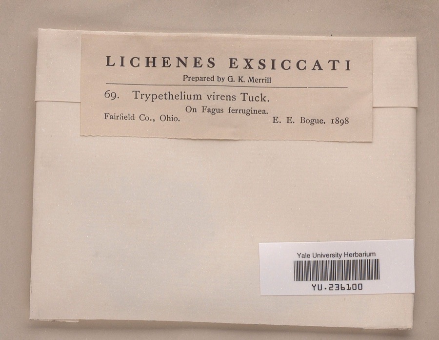
evidence. Museums hold 1,947 specimens
collected within 10 miles of Allen, Lyman, House And Barn between 1843 and
1975: 1,680 Animalia, 199 Fungi, 64 Plantae, 3 Protozoa, 1 Unrecorded. 12 distinct Species records are shown.
Collected by Asa Gray; W. S. Sullivant, Bales, B. R., Birch, W. and others. Each is a
physical object with a catalogue
number, and each entry opens the museum's record. This is what was
collected and kept, not a survey of what lives here - nothing can be
concluded from a species being absent.
Regional context, not property-specific
evidence. The National Weather Service names
Amanda, the town this property stands in, in 16 storm reports between 1994 and 2025: 9 thunderstorm wind, 3 hail, 2 flash flood, 2 flood.
No death or injury is recorded in these reports. Each account below is quoted exactly as the forecast office
filed it, from the NOAA Storm Events Database, and each date
opens the federal record of that event.
Large limbs were knocked down by thunderstorm winds across the county, downing power lines in spots. A large storefront window was shattered in Amanda. Several of the trees in Lancaster fell on cars causing damage.
No historic map-sheet match is published
for this property yet. That does not mean no map exists. This record needs
a coordinate-quality review before it can be joined to a sheet boundary.
Browse the county's mapped places while that work is
pending.
From the nomination file
1,561 words on record
When this property was proposed for the
National Register, someone wrote the case for it: what the building is,
and why it matters. That document is a federal record in the public domain.
It is quoted below word for word, never summarised. The text was read off the scanned case file by machine, so the
occasional stray character is the recogniser's and the 1970s
typewriter's.
Description of the property
the right of center and has a simple paneled door, narrow transom and sidelights, and plain stone lintels. All windows are double hung, 6/6 pane, with stone lintels and sills and wooden shutters. There is a one-story, two-bay, flat-roofed just right of center, across the third bay. Across the rear of the house is a one-story, shed-roofed screen porch of a later connected to the wing by a short breezeway. the belvedere are intact. There are seven fireplaces. CONDITION belvedere. UNALTERED GOOD CHECK ONE front and pilasters against the house.A wide cornice has decorative scalloping one-story, gable-roofed wing which contains a summer kitchen and smokehouse.
The west elevation has an entrance in the left-end bay with a single-bay porch, The interior of the house has undergone few changes except for modern plumbing and lighting.The original walnut paneling and woodwork and spiral staircase to beneath the cornice.Every third bracket extends down onto the face of the cornice.Chimneys are centrally placed to the east and west sides of the XORIGINAL SITE wing is a two-story, rectangular, gable roofed carriage house which has been windows on each side.The belvedere is also hip roofed and has a bracketed The east side is quite similar to the west but here the single bay porch is placed and carved brackets.At the roofline there is a wide frieze and carved brackets hewn beams joined with pegs.
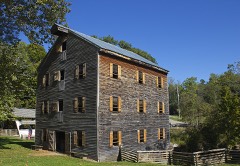
Northeast of the house isa large bank barn on a stone foundation.It has hand- -UNEXPOSED -RUINS County, Ohio. The main portion of the house is 40 feet square, four bays on each The foundation is stone. The facade faces south, and the entrance is to This very fine two-story brick house is an impressive structure in rural Fairfield it on the east side. Screen porch roofs are standing-seam metal.
The house, carriage house, and bank barn are excellent examples of Lyman Allen, born in 1813, was the grandson of Silas Allen of Norwich, Conn. married Eliza, daughter of another prominent settler, Valentine Reber in 1836. COMMERCE ART SIGNIFICANCE EDUCATION INVENTION PERIOD THEATER RELIGION SCIENCE BUILDER/ARCHITECT SCULPTURE XARCHITECTURE TRANSPORTATION AGRICULTURE LAW MILITARY X1800-1899 MUSIC LITERATURE _POLITICS/GOVERNMENT _CONSERVATION - EXPLORATION/SETTLEMENT _COMMUNICATIONS Lyman was a prominent landowner and lived his entire life in this township. wealthy and prominent family and the fine detailing is evidence of this.
Silas was a doctor during the Revolutionary War and was a descendent of one of early Fairfield County farm architecture.The complex was built for a _1500-1599 -1600-1699 Silas (born 1754) came with 40 others from Connecticut to explore the West.The _PHILOSOPHY _1700-1799 but the fine detailing indicate that it was built in the mid 1850's. -ENGINEERING and is very well preserved. -_1400-1499 -_1900- _COMMUNITY PLANNING SPECIFIC DATES ca. 1855 the earliest families to settle in this country, that of Ethan Allen. In 1800 Lyman ARCHEOLOGY-PREHISTORIC party arrived in Fairfield County, Ohio and settled along Toby Creek. The property was owned by the original owners until late in the 1890's - INDUSTRY
Quoted from the National Register nomination
for reference 76001420, 15 pages, held by the National Archives in Record
Group 79. See the
catalogue record.
Listed places nearby
6 within 8 miles
Other National Register properties close
enough to walk or drive between, ordered by distance from this one. Both
positions come from the same geocoding pass that matched these properties
to their map sheets.
Listing record. National Park Service National Register of Historic Places, listed-properties dataset, current to 2026-05-22.
Map join. Address geocoded through the United States Census geocoder, then tested against the published boundary of every sheet in the USGS Historical Topographic Map Collection.
How this page is made. Listing fields come from federal records; map-sheet coverage is a labelled coordinate-to-boundary calculation, not a source-field claim.
Wildfire. Short, Karen C. 2022. Spatial wildfire occurrence data for the United States, 1992-2020 [FPA_FOD_20221014]. 6th Edition. Fort Collins, CO: Forest Service Research Data Archive. https://doi.org/10.2737/RDS-2013-0009.6 Collected with United States Government funding and usable without additional permissions or fees.
Specimens. Global Biodiversity Information Facility (GBIF), https://www.gbif.org/. Only records licensed CC0 or CC BY are used. Records licensed CC BY-NC are excluded because this site carries advertising. Images are checked individually and any whose licence is non-commercial, no-derivatives or unreadable is refused.
Storms. NOAA National Centers for Environmental Information, Storm Events Database https://www.ncei.noaa.gov/stormevents/ A work of the United States government, no copyright under 17 U.S.C. 105. Narratives are quoted verbatim from the National Weather Service report and are not edited or summarised.
 Block
Block