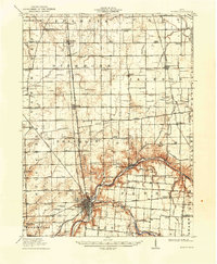
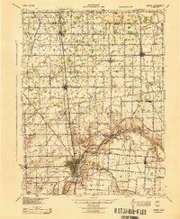
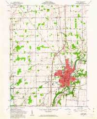
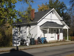
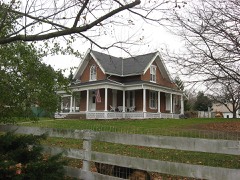
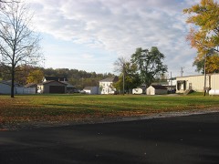
Listed on the National Register of Historic Places in 1983. 6 historic topographic surveys show this location, the earliest from 1913.
From the record
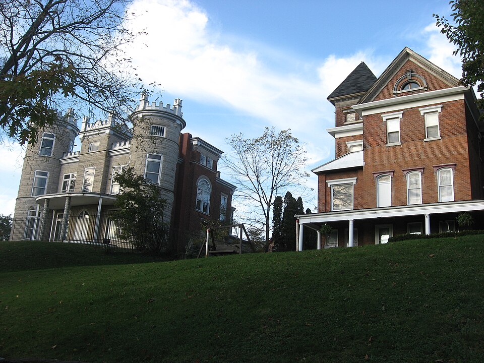
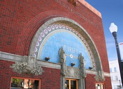
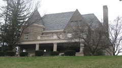
“The Sidney Walnut Avenue Historic District is a neighborhood and historic district on the western side of the city of Sidney, Ohio, United States. Located a short distance northwest of the city's downtown, the Walnut Avenue District has been Sidney's premier residential neighborhood since its creation in the late nineteenth century.”
Wikipedia article Sidney Walnut Avenue Historic District, CC BY-SA 4.0.
One of 20 National Register listings published here for Shelby County · listed in 1983 · category: District.
National Register reference number.83004338- the number the National Park Service assigned this property when it was listed, and the key its nomination file is catalogued under at the National Archives.
Clinton township is drained by the Great Miami river, which enters at the northeast corner and flows south by west, and then, running southwest, becomes for a distance of about two miles the boundary line between Clinton and Orange township. Side by side with the river flows the Miami feeder with its water supply, which it carries to the canal at Lockington. Tawawa creek enters the Miami opposite Sidney, coming from the east, while another small tributary, flowing in the same direction, joins the large stream about a mile south of the mouth of the Tawawa. Three small streams enter the Miami from the west within the bounds of the township.
Ordered, that it (the township) be divided into three districts (road); Sidney, No. 1 ; Plum Creek, No. 2 ; and Mile Creek, No. 3. No. 1 to work the road from the ford below Ruckman's mill to the public square in Sidney, the road leading to Hardin, and the one from Dingmansburg to Sidney. No. 2 to work the road from the public spuare on the road that leads up the river past Wm. Johnston's and Talbert's to the township line, and the Plum Creek road to the township line. No. 3 to work the road that leads from Sidney past Rufus Carey's to the township line, and the road from where it intersects the aforesaid road leading past Mr. Levalley's as far as the township line. John Blake supervisor district No. 1, N. Coleman of district No. 2, and a supervisor to be elected in No. 3.
Regional context, not property-specific
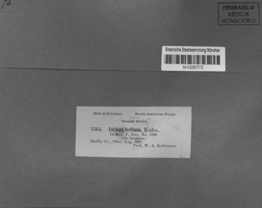
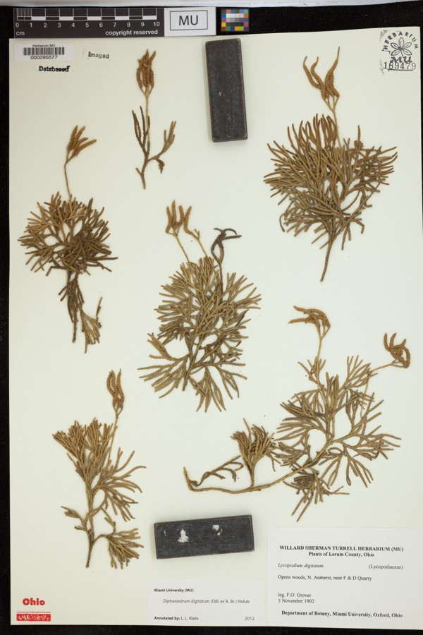
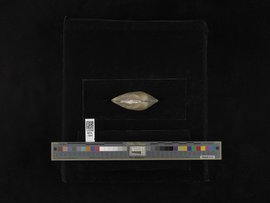
evidence. Museums hold 226 specimens
collected within 10 miles of Sidney Walnut Avenue Historic District between 1897 and 1967: 186 Animalia, 21 Fungi, 18 Plantae, 1 Unrecorded.
12 distinct Species records are shown.
Collected by A. R. Gaufin, A.R. Gaufin, A.R. Gaufin, H.H. Ross and others. Each is a
physical object with a catalogue
number, and each entry opens the museum's record. This is what was
collected and kept, not a survey of what lives here - nothing can be
concluded from a species being absent.
Regional context, not property-specific
evidence. The federal mineral resources record lists
9 workings within 5 miles of Sidney Walnut Avenue Historic District: 4 past producers, 3 producers, 1 plant, 1 unknown.
4 still produce. What was taken out: Sand and Gravel, Construction, Stone, Crushed/Broken, Limestone, General. Distance is straight-line from the
map coordinates, so a quarry counted here may appear on a neighbouring
settlement's page as well.
Regional context, not property-specific
evidence. The National Weather Service names
Sidney, the town this property stands in, in 111 storm reports between 1994 and 2025: 66 thunderstorm wind, 22 hail, 15 flood, 4 flash flood.
The reports record 1 death. Each account below is quoted exactly as the forecast office
filed it, from the NOAA Storm Events Database, and each date
opens the federal record of that event.
Two barns had their tin roofs removed and a wooden fence was downed around a pool along Hardin-Wapakoneta Road. Several trees and power poles were also knocked down in this vicinity.
Numerous trees and large limbs were downed across the northern half of the county. One tree fell on a vehicle and another on a house in Sidney, causing minor damage to both.
Several homes were damaged by falling trees. Numerous trees and limbs were knocked down, and a few road signs were blown over. A 63 mph gust was measured in Anna.
Roads were closed across the area due to heavy rainfall and previous snow melt. Flooding began around 0754 EST on February 28th and ended around 0900 on March 2nd. Damage estimates for February were around five-thousand dollars.
Roads were closed across the area due to heavy rainfall and previous snow melt. Flooding began around 0754 EST on February 28th and ended around 0900 EST on March 2nd. Damage estimates for March were around five-thousand dollars.
United States Geological Survey topographic
sheets whose coverage includes this point. Matched by taking the coordinate the National Park Service records for this property, then
testing that coordinate against the published boundary of every sheet.
When this property was proposed for the
National Register, someone wrote the case for it: what the building is,
and why it matters. That document is a federal record in the public domain.
It is quoted below word for word, never summarised. The text was read off the scanned case file by machine, so the
occasional stray character is the recogniser's and the 1970s
typewriter's.
Description of the property
district consists of structures along both sides of Walnut Avenue from Poplar Street dormer with a Palladian window transformed the house into lavish Queen Anne. A flat- An elegant Queen Anne of two and one-half story brick, this 1898 house has a modified Palladian window on three sides in the attic peaks. Located on North Street, the cross- the Walnut Street entrance is now located within a central tower that is faced with stone in the district. Outstanding is the two-tiered veranda porch to the east. It has a The Sidney Walnut Avenue Historic District is composed of fifteen houses on a small hill rear of the property along Walnut Street. (Photographs A,B,C) characteristic of its style.
(Photographs D, G,H,I,J) date ruins northwest of the downtown commercial area.The north boundary is Michigan Street and the south boundary is the railroad tracks of the Conrail spur.The alleys behind the houses are a multi-gable roof.A one-story flat-roofed open porch shelters the off-center entrance #2 This modified Queen Anne house is along North Street.It is a two-story red brick with central tri-part window with an elliptical light above.The addition of a second floor #1This two-story ornate brick mansion from 1884 was originally Italianate in design.The residential section in Starrett's Addition.Itis just northwest of the original plat of NPS Form 10-900-a OMB No.1024-0018 Exp.
10-31-84 United States Department of the Interior National Park Service Continuation sheet #1 Item number 7 Page 2 by the square dimensions, buff-colored brick, and modified classical features that include sits near the alley. (Photographs R, S, T, U, V) pilasters, like sentinels under the portico, are affixed to the exterior brick wall.
(in one paragraph) shows the transformation of the hilltop of Walnut Avenue into the elite street of the town. At that time, Sidney changed from a rural county seat and market center for agriculturally based Shelby County into a leading banking, commercial and industrial city. The bankers, businessmen and manufacturers located on the hill, primarily between 1880 and 1910. style with a two-tiered veranda porch. Three other houses (#5, 10, 12) date from the Civil War period but now have turn of the century facades. Greek Revival (#12), now modified by an 1895 one-bay colossal porch, was the home of Cephas beth, New Jersey in 1810. A one-story brick house (#5) received a second story in 1890.
Ayers, a lumber dealer, owned the second one (#3), and the corner house (#4) was the home of Wilson Carothers, the owner of the Buckeye Churn Company. E.E. Nutt, owner of a grain mill, built the three-story brick (#13) that was used as the Terrace Hotel in the 1920s, and two a state senator from 1906 to 1909. He served on the board of the bank and People's Savings 1700-1799 transportation communications time. theater engineering Period humanitarian literature district. law nineteenth century residential styles.The district is historically significant because it Specific dates 1847-1913 Builder/Architect N/A The Sidney Walnut Avenue Historic District is both architecturally and historically significant built in 1913.
It is architecturally important because the district contains an excellent collection of late Kentucky, he arrived in Shelby County in 1825. His house is an outstanding Southern Colonial - other(specify) Three elaborate Queen Annes on North were homes of prominent businessmen.
Quoted from the National Register nomination
for reference 83004338, 64 pages, held by the National Archives in Record
Group 79. See the
catalogue record.
Listed places nearby
6 within 8 miles
Other National Register properties close
enough to walk or drive between, ordered by distance from this one. Both
positions come from the same geocoding pass that matched these properties
to their map sheets.
Listing record. National Park Service National Register of Historic Places, listed-properties dataset, current to 2026-05-22.
Map join. Address geocoded through the United States Census geocoder, then tested against the published boundary of every sheet in the USGS Historical Topographic Map Collection.
How this page is made. Listing fields come from federal records; map-sheet coverage is a labelled coordinate-to-boundary calculation, not a source-field claim.
Specimens. Global Biodiversity Information Facility (GBIF), https://www.gbif.org/. Only records licensed CC0 or CC BY are used. Records licensed CC BY-NC are excluded because this site carries advertising. Images are checked individually and any whose licence is non-commercial, no-derivatives or unreadable is refused.
Mines and quarries. USGS Mineral Resources Data System (MRDS) https://mrdata.usgs.gov/mrds/ A work of the United States government, no copyright under 17 U.S.C. 105.
Storms. NOAA National Centers for Environmental Information, Storm Events Database https://www.ncei.noaa.gov/stormevents/ A work of the United States government, no copyright under 17 U.S.C. 105. Narratives are quoted verbatim from the National Weather Service report and are not edited or summarised.
 Block