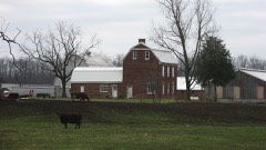
Listed on the National Register of Historic Places in
1978. A historic map-sheet match is not published yet. The record needs a coordinate-quality review before it can be joined to a sheet boundary.
From the record
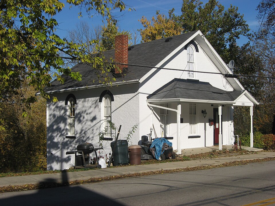
“The Sidney Waterworks and Electric Light Building is a historic structure on the east side of Sidney, Ohio, United States. Erected in 1873, the building is a former waterworks and power plant for the city.”
Wikipedia article Sidney Waterworks and Electric Light Building, CC BY-SA 4.0.
one of 19 National Register listings in Shelby County · listed in 1978 · category: Building · one of 1 National Historic Landmarks in Shelby County.
National Register reference number.78002190- the number the National Park Service assigned this property when it was listed, and the key its nomination file is catalogued under at the National Archives.
What happened here
An account from the chapter on Clinton township, The inset identifies its exact
source book and publication year.
Less than nine centuries since, the historic period of the Western Continent - the new world - was ushered in. Let us pause a moment and recall the achievements of the actors in the great drama of discover}', settlement, colonization, and nationality. With our own territory extending from the Atlantic to the Pacific, and from the great cool lakes to the broad warm gulf, it also embraces a separate territory bordering the Frozen Ocean and clasping hands with the great Asiatic Continent, almost linking that continent with British North America.
The chapter on Clinton Township in History of Shelby County, Ohio, published 1883 names Sidney. This is what it says, exactly as the scans read.
This county is situated in the second tier of counties from the boundary line between Indiana and Ohio, and about half-way of the State from north to south. It is bounded on the north by Auglaize County', on the east by Logan and Champaign, on the south by Miami, and on the west by Darke and Auglaize. The county seat is Sidney. The water-shed between the Maumee and Miami River systems is partly in the northern part of this county. The road known ns the Kettler turnpike, in a general way, may be regarded ns marking the line of the water shed, at least for some miles of its course, nearest the Loramie Reservoir. The watershed bears to the northeast, after leaving this county, into Hardin and Wyandot counties.
At Cincinnati, low water in the Ohio River is four hundred and thirtytwo feet above tide-water, and the water in the Sidney feeder is five hundred and twelve feet above low water in the Ohio, or nine hundred and forty-four feet above tide-water. The greatest elevation yet measured in the county is one hundred and thirty-four feet, on the Tawawa turnpike, east of the Miami River. The line between this county and Champaign, on this turnpike, is one hundred and twenty-one feet above the water in the feeder. The greatest elevation on the line of the Stewart turnpike is one hundred and twenty-one feet, and on the line between Shelby and Logan counties one hundred and eleven feet above the water in the canal. On the Infirmary turnpike the greatest elevation is eightv-seven feet, and at the end of this road, on the line between this county ami Miami, it is forty feet below the level of the canal. On the St. Marys turnpike, about two miles from Sidney, the highest point is reached at one hundred and twelve feet above the water in the canal. The bottom of the reservoir is about eight feet above the water in the canal. The main canal extends entirely across the county, running in a northwesterly direction from a point on the southern boundary line about midway of the county, from east to west. The Sidney feeder is twelve miles in length, and extends from Port Jefferson to Lockington, and is the channel through which the water from the great reservoir at Lewistown reaches the summit level of the canal. The Sidney feeder and the main canal above Lockington are on the same level, and the, water from the Lewistown reservoir flows indifferently north or south. The summitlevel of the Miami and Erie Canal is, therefore, the same as that of the Sidney feeder - nine hundred and forty-four feet above the level of the sea. The highest land in the county (so far as any measurements have extended) is one thousand anil seventy-eight feet above tide-water, and six hundred and forty-six feet above low water in the Ohio River at Cincinnati. To aid in the comparison of the elevations in this county with other portions of the State, I will here give a few measurements taken from Prof. Orton's Report of the Geology of Highland County, in the volume for 1870, p. 258. At the head-waters of the Scioto and Miami rivers, in Logan County, an elevation is given, on the authority of Col. C. Whittlesey* of one thousand three hundred and forty-four feet, which is two hundred and sixty-six feet greater than any in Shelby County. A measurement still greater is given of a summit in Richland County, one thousand three hundred and eighty-nine feet above the level of the sea. The highest land in the Stale, so far as known, is a point. about three miles northeast of Bellefontaine. Its elevation above the sea, as determined by Prof. F. C. Hill, for the Geological Survey, is fifteen hundred and forty-four feet. The summit-level of the canal in this county is four hundred feet lower than the water-shed between the Miami and Scioto rivers in Logan County. This statement will show the resources of the canal for water supply in this direction. The surface drainage and spring-water of a surface of about nine hundred square miles, must be available at the head-waters of the Miami as a supply for the canal above the summit-level - one-half of which, with other resources, would float a tonnage greater than was ever floated in the canal.
Regional context, not property-specific
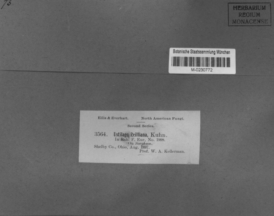
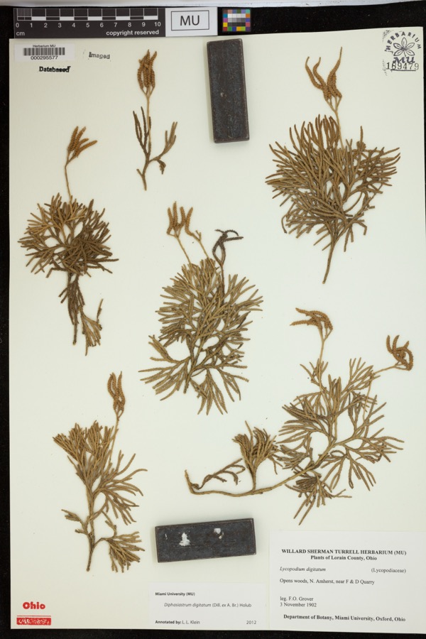
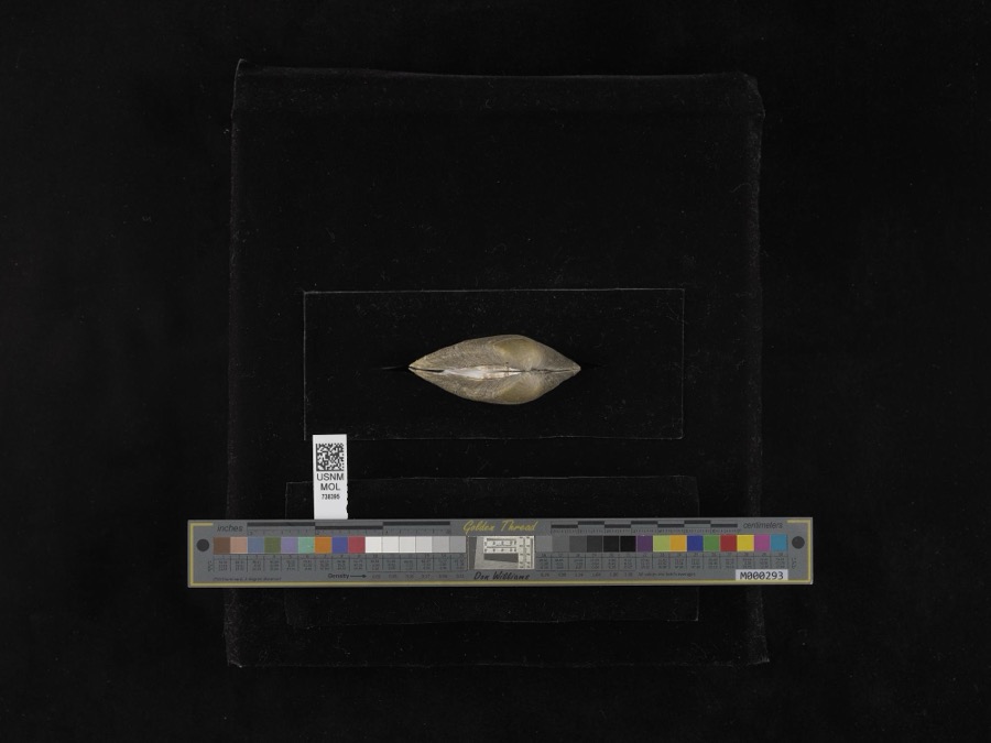
evidence. Museums hold 225 specimens
collected within 10 miles of Sidney Waterworks And Electric Light Building between 1897 and
1967: 185 Animalia, 21 Fungi, 18 Plantae, 1 Unrecorded. 12 distinct Species records are shown.
Collected by A. R. Gaufin, A.R. Gaufin, A.R. Gaufin, H.H. Ross and others. Each is a
physical object with a catalogue
number, and each entry opens the museum's record. This is what was
collected and kept, not a survey of what lives here - nothing can be
concluded from a species being absent.
Regional context, not property-specific
evidence. The federal mineral resources record lists
6 workings within 5 miles of Sidney Waterworks And Electric Light Building: 2 past producers, 2 producers, 1 plant, 1 unknown.
3 still produce. What was taken out: Sand and Gravel, Construction, Limestone, General, Stone, Crushed/Broken. Distance is straight-line from the
map coordinates, so a quarry counted here may appear on a neighbouring
settlement's page as well.
Regional context, not property-specific
evidence. The National Weather Service names
Sidney, the town this property stands in, in 111 storm reports between 1994 and 2025: 66 thunderstorm wind, 22 hail, 15 flood, 4 flash flood.
The reports record 1 death. Each account below is quoted exactly as the forecast office
filed it, from the NOAA Storm Events Database, and each date
opens the federal record of that event.
Two barns had their tin roofs removed and a wooden fence was downed around a pool along Hardin-Wapakoneta Road. Several trees and power poles were also knocked down in this vicinity.
Numerous trees and large limbs were downed across the northern half of the county. One tree fell on a vehicle and another on a house in Sidney, causing minor damage to both.
Several homes were damaged by falling trees. Numerous trees and limbs were knocked down, and a few road signs were blown over. A 63 mph gust was measured in Anna.
Roads were closed across the area due to heavy rainfall and previous snow melt. Flooding began around 0754 EST on February 28th and ended around 0900 on March 2nd. Damage estimates for February were around five-thousand dollars.
Roads were closed across the area due to heavy rainfall and previous snow melt. Flooding began around 0754 EST on February 28th and ended around 0900 EST on March 2nd. Damage estimates for March were around five-thousand dollars.
No historic map-sheet match is published
for this property yet. That does not mean no map exists. This record needs
a coordinate-quality review before it can be joined to a sheet boundary.
Browse the county's mapped places while that work is
pending.
From the nomination file
4,993 words on record
When this property was proposed for the
National Register, someone wrote the case for it: what the building is,
and why it matters. That document is a federal record in the public domain.
It is quoted below word for word, never summarised. The text was read off the scanned case file by machine, so the
occasional stray character is the recogniser's and the 1970s
typewriter's.
Description of the property
On the south side, a flight of stairs from the top level to the second level partially The lot itself is noteworthy. As indicated in the accompanying map, the tree- CONDITION UNEXPOSED RUINS EXCELLENT UNALTERED that drops three stories from the road level now has more slope than when the building DESCRIPTION CHECK ONE The Miami River facade is the most interesting.Three round arched 4/4 windows the second level which was living quarters with plastered walls and moulded woodwork. of the waterworks plant for possible riverside park and recreational uses. west of the building. and engine room which is the upper basement level houses the Trump Water Wheel.
It race has been filled in although a depression is still noticeable in the grass to the GOOD one story frame porch has been added and reaches almost to the sidewalk.The house foundation of Maxwell's Mill.Plans are being discussed to purchase land on both sides _DETERIORATED was constructed.At the base of this stairs is a cement platform that allows access to bond brick walls are said to be 7 layers thick. braces are still found) opened into a race which once flowed to the Miami River. The XFAIR looks like a 1 story building.from the street side.
DATE XALTERED are symmetrically arranged on the two upper floors.A miniature matching window is a round arched entrance with transom.A window has been filled in.A small shed-roofed where the Holly Water Works System was possibly located (notches in beams and supporting centered in the attic gable under a wide wooden frieze and deep overhang.The common covered acreage extends quite a distance behind the house to the bank of the Miami River.
Canal, Sidney became an industrial and business oriented community after the Civil War. communities in Southwest Ohio, Cincinnati in 1821 and Dayton in 1869, had water plants its population of approximately 5600 people. According to Doug Brookhart, Director of such as a riverside location, access to Mosquito Creek and the suitability of the people, the Holly, Manufacturing Co., Lockport, N. Y., prepared the plans and specifica- In 1888, the lease with Benjamin Maxwell, who also owned the adjacent mill, expired. _to produce the electricity. Steam turbine power came to Sidney in 1914.
1400-1499 1700-1799 EDUCATION THEATER ARCHEOLOGY-HISTORIC PERIOD RELIGION BUILDER/ARCHITECT PHILOSOPHY AGRICULTURE POLITICS/GOVERNMENT EXPLORATION/SETTLEMENT SCIENCE ART INDUSTRY LITERATURE 1900- MILITARY SIGNIFICANCE SOCIAL/HUMANITARIAN of machinery in its original setting. _COMMUNICATIONS Water and Sewer for the city of Sidney, the water wheel may be the only existing type two days at 120 pounds when the system was put into effect on September 9,1873. The Miami River facade of the building is architecturally significant.Although _CONSERVATION Engineers came to Sidney in 1872 to explain the operation of a waterworks plant to building was converted into a hydro electric generating plant.Only two other a twenty-inch James Leffel wheel and a ten-inch Thomas Leffel wheel, was installed.
customers until the property was deeded to the Sidney Electric Light Co.in 1899.It the lowest level which was dug out for the race has been filled in, three levels remain X.ENGINEERING the laying of three railroad carloads of 92 tons of water pipes was done by hand by a A need for public utilities resulted in the construction of a four level brick Near the source of the Miami River and connected by a.feeder to the Miami-Erie The Holly machinery has not been relocated.
Quoted from the National Register nomination
for reference 78002190, 21 pages, held by the National Archives in Record
Group 79. See the
catalogue record.
Listed places nearby
6 within 8 miles
Other National Register properties close
enough to walk or drive between, ordered by distance from this one. Both
positions come from the same geocoding pass that matched these properties
to their map sheets.
Listing record. National Park Service National Register of Historic Places, listed-properties dataset, current to 2026-05-22.
Map join. Address geocoded through the United States Census geocoder, then tested against the published boundary of every sheet in the USGS Historical Topographic Map Collection.
How this page is made. Listing fields come from federal records; map-sheet coverage is a labelled coordinate-to-boundary calculation, not a source-field claim.
Specimens. Global Biodiversity Information Facility (GBIF), https://www.gbif.org/. Only records licensed CC0 or CC BY are used. Records licensed CC BY-NC are excluded because this site carries advertising. Images are checked individually and any whose licence is non-commercial, no-derivatives or unreadable is refused.
Mines and quarries. USGS Mineral Resources Data System (MRDS) https://mrdata.usgs.gov/mrds/ A work of the United States government, no copyright under 17 U.S.C. 105.
Storms. NOAA National Centers for Environmental Information, Storm Events Database https://www.ncei.noaa.gov/stormevents/ A work of the United States government, no copyright under 17 U.S.C. 105. Narratives are quoted verbatim from the National Weather Service report and are not edited or summarised.
 Block
Block