Listed on the National Register of Historic Places in
1980. A historic map-sheet match is not published yet. The record needs a coordinate-quality review before it can be joined to a sheet boundary.
From the record
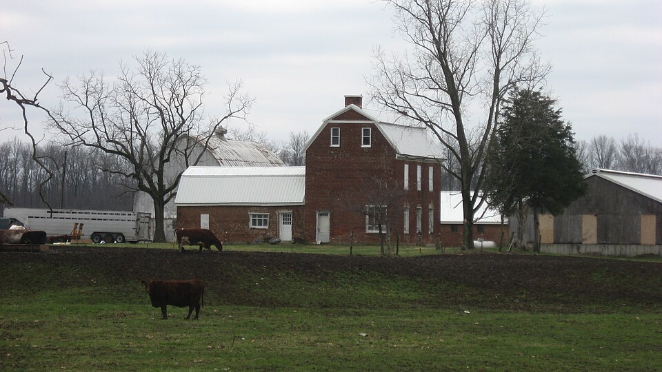
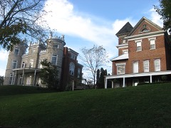
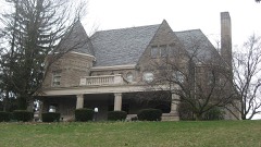
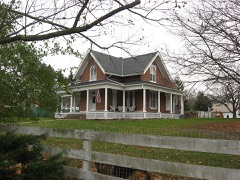
“The Wilson-Lenox House, also known as the "Marvin Ditmer House", is a historic house west of Sidney in Washington Township, Shelby County, Ohio, United States. Built in the Dutch Colonial style, the house was built in the 1810s; it was the first brick house in Shelby County.”
Wikipedia article Wilson-Lenox House, CC BY-SA 4.0.
one of 19 National Register listings in Shelby County · listed in 1980 · category: Building · one of 1 National Historic Landmarks in Shelby County.
National Register reference number.80003233- the number the National Park Service assigned this property when it was listed, and the key its nomination file is catalogued under at the National Archives.
Regional context, not property-specific
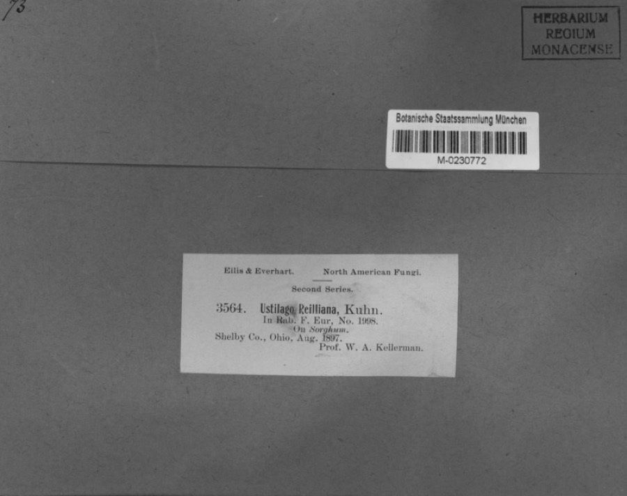
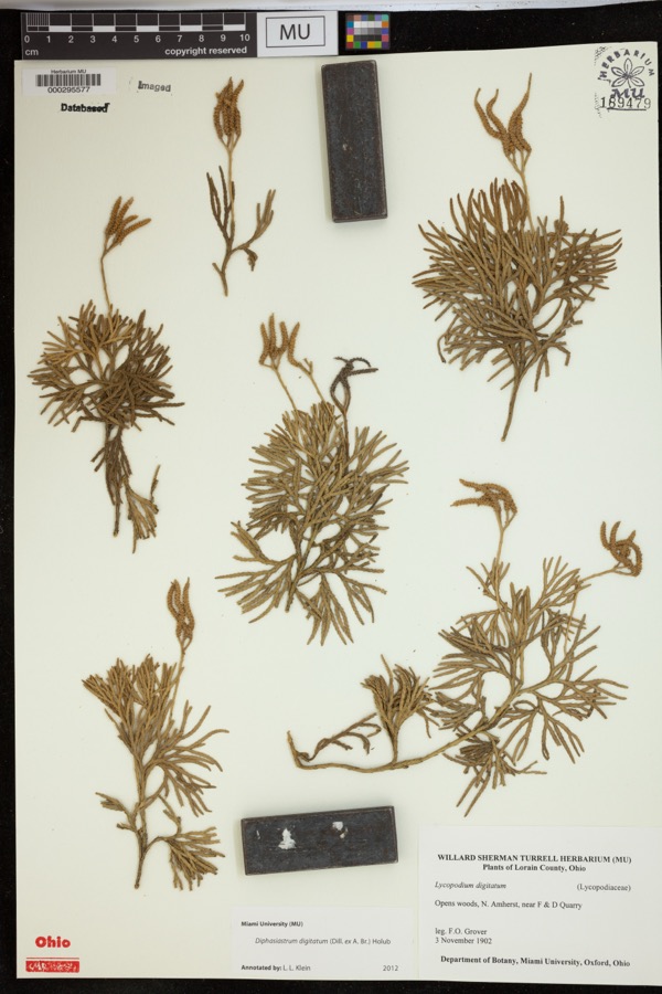
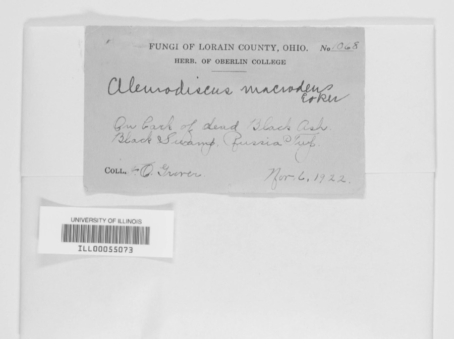
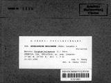
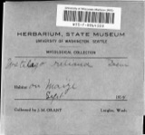
evidence. Museums hold 295 specimens
collected within 10 miles of Wilson-Lenox House between 1897 and
1967: 228 Animalia, 40 Fungi, 26 Plantae, 1 Unrecorded. 12 distinct Species records are shown.
Collected by A. R. Gaufin, A.R. Gaufin, A.R. Gaufin, H.H. Ross and others. Each is a
physical object with a catalogue
number, and each entry opens the museum's record. This is what was
collected and kept, not a survey of what lives here - nothing can be
concluded from a species being absent.
Regional context, not property-specific
evidence. The federal mineral resources record lists
16 workings within 5 miles of Wilson-Lenox House: 8 past producers, 6 producers, 2 plants.
8 still produce. What was taken out: Sand and Gravel, Construction, Stone, Crushed/Broken, Limestone, General. Distance is straight-line from the
map coordinates, so a quarry counted here may appear on a neighbouring
settlement's page as well.
Regional context, not property-specific
evidence. The National Weather Service names
Sidney, the town this property stands in, in 111 storm reports between 1994 and 2025: 66 thunderstorm wind, 22 hail, 15 flood, 4 flash flood.
The reports record 1 death. Each account below is quoted exactly as the forecast office
filed it, from the NOAA Storm Events Database, and each date
opens the federal record of that event.
Two barns had their tin roofs removed and a wooden fence was downed around a pool along Hardin-Wapakoneta Road. Several trees and power poles were also knocked down in this vicinity.
Numerous trees and large limbs were downed across the northern half of the county. One tree fell on a vehicle and another on a house in Sidney, causing minor damage to both.
Several homes were damaged by falling trees. Numerous trees and limbs were knocked down, and a few road signs were blown over. A 63 mph gust was measured in Anna.
Roads were closed across the area due to heavy rainfall and previous snow melt. Flooding began around 0754 EST on February 28th and ended around 0900 on March 2nd. Damage estimates for February were around five-thousand dollars.
Roads were closed across the area due to heavy rainfall and previous snow melt. Flooding began around 0754 EST on February 28th and ended around 0900 EST on March 2nd. Damage estimates for March were around five-thousand dollars.
No historic map-sheet match is published
for this property yet. That does not mean no map exists. This record needs
a coordinate-quality review before it can be joined to a sheet boundary.
Browse the county's mapped places while that work is
pending.
From the nomination file
1,489 words on record
When this property was proposed for the
National Register, someone wrote the case for it: what the building is,
and why it matters. That document is a federal record in the public domain.
It is quoted below word for word, never summarised. The text was read off the scanned case file by machine, so the
occasional stray character is the recogniser's and the 1970s
typewriter's.
Description of the property
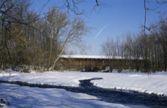
culverts, already on the National Register, are located within sight of the house, a half mile to the south. 1ight the eaves on this gambrel roofed home with interior end brick chimneys. owner believes that the trusses were cut, fitted at ground level, numbered, then CONDITION UNEXPOSED EXCELLENT XALTERED FAIR places have unornamented Federal mantels.Woodwork in the southwest room could three original mantels remain in the south rooms of the first floor.Both have only known structure in Region 3-HA constructed in Flemish bond.A limestone remains in the northwest corner.
be the original blue-gray paint.A ceiling to floor paneled walnut cupboard ornamentation, with those on the first level having greater detail.Two of the ing in woodwork and five fireplaces make this house outstanding.All five fire- ally there was no interior passage connecting the main house with this addition. Although the exterior has been altered,the interior with its Federal detail- had no openings except for the gable end windows. A one story frame addition is tucked in the southeast rear angle. carved oval medallions common to the Adam style.The southeast room's mantel looking the site of a road which once passed before it.The Turtle Creek twin step indicates that a central doorway on the facade has been changed to a window.
Four steps leading to the attic are located in the northeast corner. There are two additions to the rear.A gambrel roofed 1870 handmade brick All windows have been altered, but second level windows have original gauged brick re-assembled on the roof.The attic walls are exposed brick. - UNALTERED CHECK ONE -GOOD tion common to this area. Local tradition suggests that the brick, of higher quality than that produced locally, was imported from England.
the Shelby County Historical Society indicates, it is the first brick house erected to Warren County, Ohio, in 1801, remaining there until March 1807, when they located to 1822--one being the southeast quarter of section six, the other, the northeast 1400-1499 1700-1799 ART 1500-1599 1816 ARCHEOLOGY-HISTORIC INVENTION LAW SCIENCE PERIOD BUILDER/ARCHITECT THEATER SIGNIFICANCE RELIGION SCULPTURE LITERATURE AGRICULTURE MILITARY XEXPLORATION/SETTLEMENT _TRANSPORTATION It is architecturally outstanding because it is the only example of Dutch _PREHISTORIC _POLITICS/GOVERNMENT _PHILOSOPHY and the township.The house was built by one of the first settlers in the county _COMMERCE /the house has been altered, changes do not permanently compromise the structure's Colonial Style in Region 3-HA.It is similiar in feeling and design to the John Wilson had acquired sufficient property to give a quarter section of land to each and the second floor interior remains virtually intact.
The home remained in the Wilson family until 1897.James Lenox, a son-in-law, Lenox purchased the homestead from his father's estate in 1868. _1600-1699 purchased the property from Mrs.Wilson in 1845.Lenox had come to the county in and is the earliest brick house found in west central Ohio. - CONSERVATION ENGINEERING The house was constructed by John Wilson in 18l6.Born in Grayson County, _INDUSTRY ters, serving on the Board of Commissioners for the county at its inception in l8l9. The house was vacated as a residence in l967. _EDUCATION _ECONOMICS -1900- MUSIC The John Wilson - James Lenox House is historically significant because, as character.
In addition, the interior retains Federal detailing rare to this area in Shelby County.Its construction pre-dates the organization of both the county Johnston House at the Piqua Historical Area three miles to the south.Even though quarter of section seven where the house is situated.By the time he died in l84l,
Quoted from the National Register nomination
for reference 80003233, 14 pages, held by the National Archives in Record
Group 79. See the
catalogue record.
Listed places nearby
6 within 8 miles
Other National Register properties close
enough to walk or drive between, ordered by distance from this one. Both
positions come from the same geocoding pass that matched these properties
to their map sheets.
Listing record. National Park Service National Register of Historic Places, listed-properties dataset, current to 2026-05-22.
Map join. Address geocoded through the United States Census geocoder, then tested against the published boundary of every sheet in the USGS Historical Topographic Map Collection.
How this page is made. Listing fields come from federal records; map-sheet coverage is a labelled coordinate-to-boundary calculation, not a source-field claim.
Specimens. Global Biodiversity Information Facility (GBIF), https://www.gbif.org/. Only records licensed CC0 or CC BY are used. Records licensed CC BY-NC are excluded because this site carries advertising. Images are checked individually and any whose licence is non-commercial, no-derivatives or unreadable is refused.
Mines and quarries. USGS Mineral Resources Data System (MRDS) https://mrdata.usgs.gov/mrds/ A work of the United States government, no copyright under 17 U.S.C. 105.
Storms. NOAA National Centers for Environmental Information, Storm Events Database https://www.ncei.noaa.gov/stormevents/ A work of the United States government, no copyright under 17 U.S.C. 105. Narratives are quoted verbatim from the National Weather Service report and are not edited or summarised.
 Block
Block