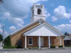
Listed on the National Register of Historic Places in
1976. A historic map-sheet match is not published yet. The record needs a coordinate-quality review before it can be joined to a sheet boundary.
From the record
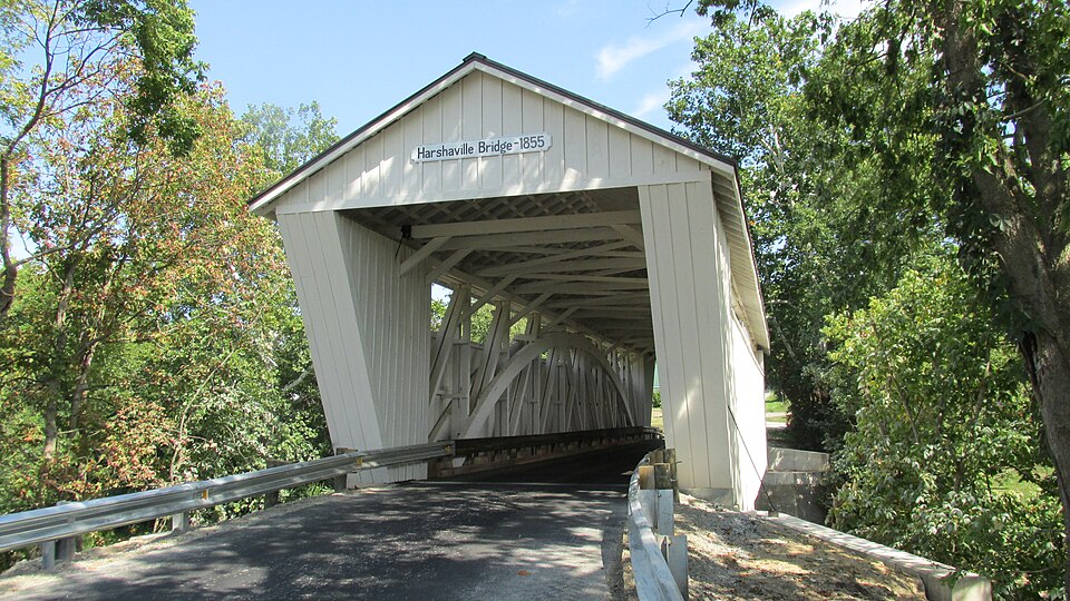
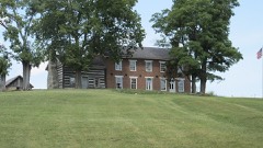
“The Harshaville Covered Bridge is a historic covered bridge spanning the Cherry Fork Creek at Harshaville, Adams County, Ohio, United States. Built in 1855, it is a Burr truss bridge with a 110-foot span.”
Wikipedia article Harshaville Covered Bridge, CC BY-SA 4.0.
one of 12 National Register listings in Adams County · listed in 1976 · category: Structure.
National Register reference number.76001357- the number the National Park Service assigned this property when it was listed, and the key its nomination file is catalogued under at the National Archives.
The ground it stands on
6,490 words
The chapter on Oliver Township in History of Adams County, Ohio, published 1900 names Harshaville. This is what it says, exactly as the scans read.
John Clark, who settled on the old Clark farm west of the present village of Harshaville in 1805, ^s said to be one of the first settlers of the township. Samuel Wright settled in 1806 where Harshaville now stands, and Robert Finley located on the Nathaniel Patton farm in the same year. James Hemphill settled near the mouth of George's Creek about the same date and operated a small mill and a still-house where a good quality of whiskey was made. The celebrated "Whiskey road'' was cut from New Market to Hemphill's, as is told in the chapter on Roads and Highways in this volume.
The fact of the sale of Senter's farm and chattels to Milligan soon became noised over the neighborhood, and George A. Patton, then a merchant in Harshaville, whom Senter owed a sum of money, upon inquiry was told by Senter that the report of the sale was correct, and that on the first of December he would settle his account with him when he received the cash for his farm.
Regional context, not property-specific
evidence. The
federal wildfire occurrence database
lists 35 fires within 5 miles of Harshaville Covered Bridge between
2004 and 2020, burning about 73 acres in total. None started naturally. 4 were recorded as arson.
Distance is straight-line from the map coordinates, so a fire counted
here may appear on a neighbouring settlement's page as well.
Reported cause
Fires
Debris and open burning
16
Missing data/not specified/undetermined
12
Arson/incendiarism
4
Equipment and vehicle use
3
The most recent of
them, most recent first, with the day each was reported and the service
that recorded it.
Regional context, not property-specific
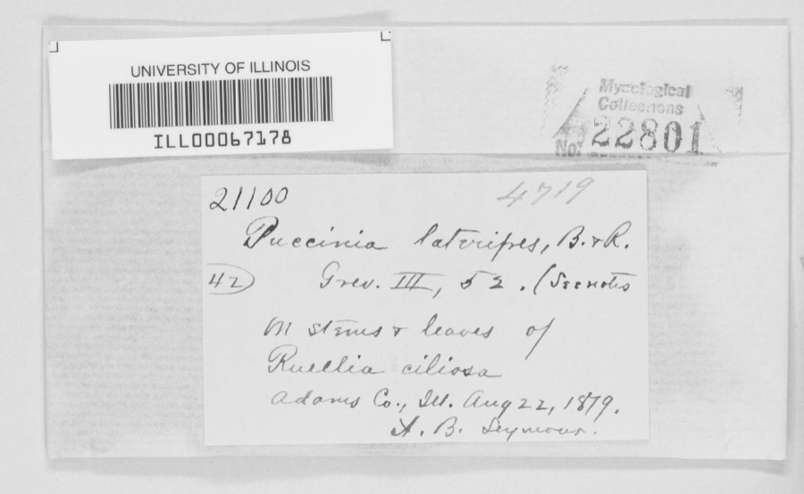
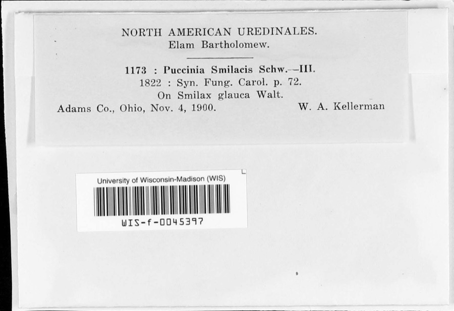
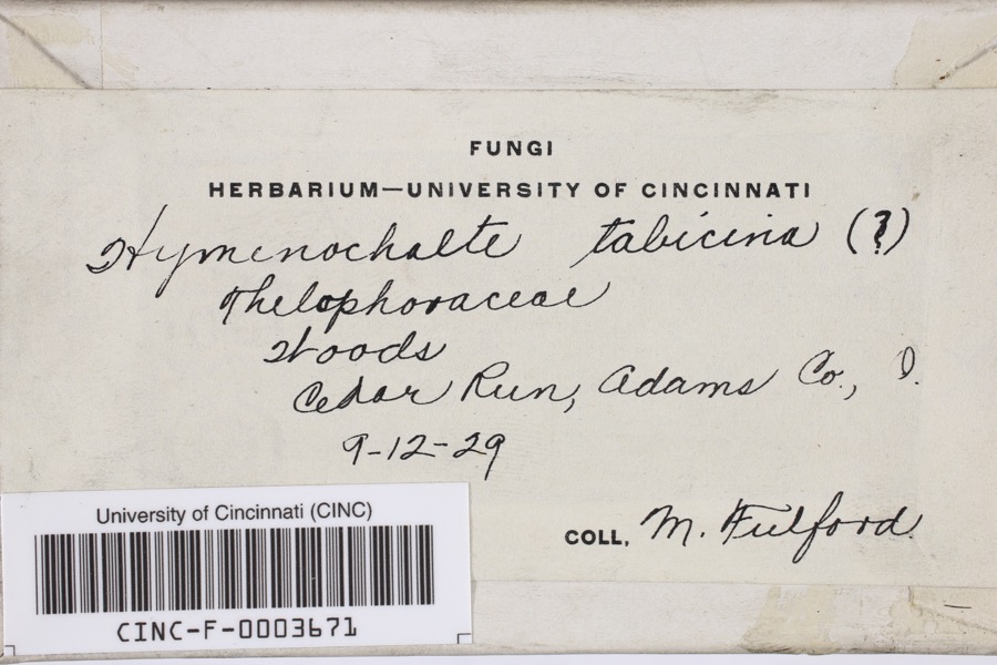
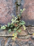
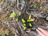
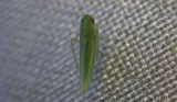
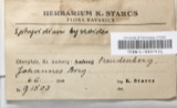
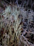
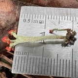
evidence. Museums hold 721 specimens
collected within 10 miles of Harshaville Covered Bridge between 1866 and
1975: 391 Animalia, 238 Fungi, 74 Plantae, 18 Protozoa. 12 distinct Species records are shown.
Collected by A. B. Seymour, A. Cronquist, A. J. Sharp and others. Each is a
physical object with a catalogue
number, and each entry opens the museum's record. This is what was
collected and kept, not a survey of what lives here - nothing can be
concluded from a species being absent.
No historic map-sheet match is published
for this property yet. That does not mean no map exists. This record needs
a coordinate-quality review before it can be joined to a sheet boundary.
Browse the county's mapped places while that work is
pending.
From the nomination file
1,670 words on record
When this property was proposed for the
National Register, someone wrote the case for it: what the building is,
and why it matters. That document is a federal record in the public domain.
It is quoted below word for word, never summarised. The text was read off the scanned case file by machine, so the
occasional stray character is the recogniser's and the 1970s
typewriter's.
Description of the property
a metal roof, stone abutments reinforced with concrete, and 2 sets of 1s stil1 the original dry-laid stone, but the west abutment has been Intended it to last for many years. he sheet metal siding shows traces CONDITION DETERIORATED EXCELLENT UNALTERED CHECK ONE shows the sheet metal siding and roof, but no piers or abutment rein- extra brace and counterbrace in the center panel forming an x.The This is a very sturdy and heavily-built bridge, whose builder obviously covered with concrete. The structure under consideration is a one- span wooden truss cbvered photo (from the record books of the Southern Ohio Covered Bridge Assoc.) bridge, but two sets of concrete piers have been added. An old 1933 there are 10-ply laminated arches built on either side of the double -UNEXPOSED concrete piers.
-FAIR X_GOOD the floor length is 88 and the overall length is 116'. to a stiverly gray. the overall condition of this bridge 1s good. forcements. The east abutment XALTERED DESCRIPTION bridge spanning Cherry Fork at Harshaville in Oliver Township on county multiple kingpost braces and counterbraces.In the Harshaville Bridge, This was originally a one-span Burr truss features arches made rigid and sturdy by the addition of The one-layer floor is laid crosswise. The roadway The over- The truss uprights are 5"x 6" timbers and arches in this bridge.Ail truss members are double, and there is an width is l7' and the overall width of the structure 1s 21'.The over- head clearance is 12'. huge arches are 16x 5"each; the height of the trusses is l5'4"; AREAS OF
Statement of significance
1ts name to both community and covered bridge. -he town of Harsha once had a dry goods store, & blacksmith shop, and a shoe shop in addition 1700-1799 1400-1499 1600-1699 INVENTION ART ARCHEOLOGY-HISTORIC EDUCATION BUILDER/ARCHITECT POLITICS/GOVERNMENT PERIOD ENGINEERING SIGNIFICANCE ECONOMICS _COMMUNICATIONS AGRICULTURE INDUSTRY ARCHITECTURE LAW THEATER LITERATURE XTRANSPORTATION MILITARY 1900- _EXPLORATION/SETTLEMENT Historic _PHILOSOPHY _COMMERCE Harsha had excellent mills here.This prominent Harsha Family has given SOCIAL/HUMANITARIAN however, that the Harshaville Covered Bridge is an outstanding example General John Morgan and his Raiders as they passed through Adams County According to Congressman William H.
Harsha of the Ohio 6th District, to the Harsha Mills.Little of this activity remains in the area today. The old covered bridge is indicated in a sketch in the 1880 atlas. This area was first settled in l8o6 and the first mill was built here on _CONSERVATION of the Burr truss and that is it now well into its second century of -1800-1899 Cherry Fork in 18l7 by a General Sam Wright who sold it in l846 to Paul _SCULPTURE service to the people of the Harshaville area. -RELIGION in 1863. Unfortunately, no records exist today as to the builder of this fine old structure or the exact date it was built. Harsha.Caldwell's 188o Atlas of Adams County mentions that a W.B. this covered bridge was built prior to the Civil War and was used by We do know, 9
Quoted from the National Register nomination
for reference 76001357, 12 pages, held by the National Archives in Record
Group 79. See the
catalogue record.
Listed places nearby
6 within 8 miles
Other National Register properties close
enough to walk or drive between, ordered by distance from this one. Both
positions come from the same geocoding pass that matched these properties
to their map sheets.
Listing record. National Park Service National Register of Historic Places, listed-properties dataset, current to 2026-05-22.
Map join. Address geocoded through the United States Census geocoder, then tested against the published boundary of every sheet in the USGS Historical Topographic Map Collection.
How this page is made. Listing fields come from federal records; map-sheet coverage is a labelled coordinate-to-boundary calculation, not a source-field claim.
Wildfire. Short, Karen C. 2022. Spatial wildfire occurrence data for the United States, 1992-2020 [FPA_FOD_20221014]. 6th Edition. Fort Collins, CO: Forest Service Research Data Archive. https://doi.org/10.2737/RDS-2013-0009.6 Collected with United States Government funding and usable without additional permissions or fees.
Specimens. Global Biodiversity Information Facility (GBIF), https://www.gbif.org/. Only records licensed CC0 or CC BY are used. Records licensed CC BY-NC are excluded because this site carries advertising. Images are checked individually and any whose licence is non-commercial, no-derivatives or unreadable is refused.
 Block
Block