Listed on the National Register of Historic Places in
1976. A historic map-sheet match is not published yet. The record needs a coordinate-quality review before it can be joined to a sheet boundary.
From the record
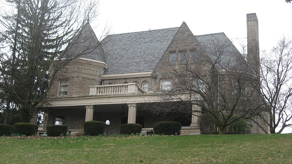
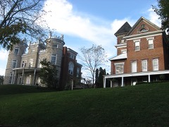
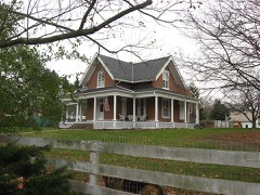
“The Whitby Mansion is a historic mansion in Sidney, Ohio, United States. Built in 1890, it was originally the home of W.H.C.”
Wikipedia article Whitby Mansion, CC BY-SA 4.0.
one of 19 National Register listings in Shelby County · listed in 1976 · category: Building · one of 1 National Historic Landmarks in Shelby County.
National Register reference number.76001526- the number the National Park Service assigned this property when it was listed, and the key its nomination file is catalogued under at the National Archives.
What happened here
An account from the chapter on Clinton township, The inset identifies its exact
source book and publication year.
Less than nine centuries since, the historic period of the Western Continent - the new world - was ushered in. Let us pause a moment and recall the achievements of the actors in the great drama of discover}', settlement, colonization, and nationality. With our own territory extending from the Atlantic to the Pacific, and from the great cool lakes to the broad warm gulf, it also embraces a separate territory bordering the Frozen Ocean and clasping hands with the great Asiatic Continent, almost linking that continent with British North America.
The chapter on Clinton Township in History of Shelby County, Ohio, published 1883 names Sidney. This is what it says, exactly as the scans read.
This county is situated in the second tier of counties from the boundary line between Indiana and Ohio, and about half-way of the State from north to south. It is bounded on the north by Auglaize County', on the east by Logan and Champaign, on the south by Miami, and on the west by Darke and Auglaize. The county seat is Sidney. The water-shed between the Maumee and Miami River systems is partly in the northern part of this county. The road known ns the Kettler turnpike, in a general way, may be regarded ns marking the line of the water shed, at least for some miles of its course, nearest the Loramie Reservoir. The watershed bears to the northeast, after leaving this county, into Hardin and Wyandot counties.
At Cincinnati, low water in the Ohio River is four hundred and thirtytwo feet above tide-water, and the water in the Sidney feeder is five hundred and twelve feet above low water in the Ohio, or nine hundred and forty-four feet above tide-water. The greatest elevation yet measured in the county is one hundred and thirty-four feet, on the Tawawa turnpike, east of the Miami River. The line between this county and Champaign, on this turnpike, is one hundred and twenty-one feet above the water in the feeder. The greatest elevation on the line of the Stewart turnpike is one hundred and twenty-one feet, and on the line between Shelby and Logan counties one hundred and eleven feet above the water in the canal. On the Infirmary turnpike the greatest elevation is eightv-seven feet, and at the end of this road, on the line between this county ami Miami, it is forty feet below the level of the canal. On the St. Marys turnpike, about two miles from Sidney, the highest point is reached at one hundred and twelve feet above the water in the canal. The bottom of the reservoir is about eight feet above the water in the canal. The main canal extends entirely across the county, running in a northwesterly direction from a point on the southern boundary line about midway of the county, from east to west. The Sidney feeder is twelve miles in length, and extends from Port Jefferson to Lockington, and is the channel through which the water from the great reservoir at Lewistown reaches the summit level of the canal. The Sidney feeder and the main canal above Lockington are on the same level, and the, water from the Lewistown reservoir flows indifferently north or south. The summitlevel of the Miami and Erie Canal is, therefore, the same as that of the Sidney feeder - nine hundred and forty-four feet above the level of the sea. The highest land in the county (so far as any measurements have extended) is one thousand anil seventy-eight feet above tide-water, and six hundred and forty-six feet above low water in the Ohio River at Cincinnati. To aid in the comparison of the elevations in this county with other portions of the State, I will here give a few measurements taken from Prof. Orton's Report of the Geology of Highland County, in the volume for 1870, p. 258. At the head-waters of the Scioto and Miami rivers, in Logan County, an elevation is given, on the authority of Col. C. Whittlesey* of one thousand three hundred and forty-four feet, which is two hundred and sixty-six feet greater than any in Shelby County. A measurement still greater is given of a summit in Richland County, one thousand three hundred and eighty-nine feet above the level of the sea. The highest land in the Stale, so far as known, is a point. about three miles northeast of Bellefontaine. Its elevation above the sea, as determined by Prof. F. C. Hill, for the Geological Survey, is fifteen hundred and forty-four feet. The summit-level of the canal in this county is four hundred feet lower than the water-shed between the Miami and Scioto rivers in Logan County. This statement will show the resources of the canal for water supply in this direction. The surface drainage and spring-water of a surface of about nine hundred square miles, must be available at the head-waters of the Miami as a supply for the canal above the summit-level - one-half of which, with other resources, would float a tonnage greater than was ever floated in the canal.
Regional context, not property-specific
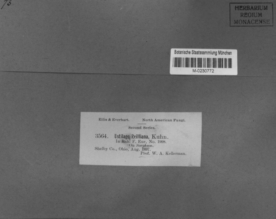
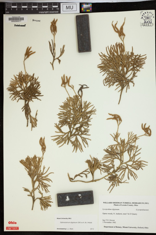
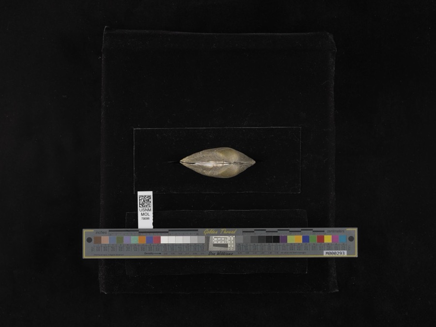
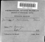
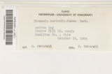
evidence. Museums hold 226 specimens
collected within 10 miles of Whitby Mansion between 1897 and
1967: 186 Animalia, 21 Fungi, 18 Plantae, 1 Unrecorded. 12 distinct Species records are shown.
Collected by A. R. Gaufin, A.R. Gaufin, A.R. Gaufin, H.H. Ross and others. Each is a
physical object with a catalogue
number, and each entry opens the museum's record. This is what was
collected and kept, not a survey of what lives here - nothing can be
concluded from a species being absent.
Regional context, not property-specific
evidence. The federal mineral resources record lists
8 workings within 5 miles of Whitby Mansion: 3 past producers, 3 producers, 1 plant, 1 unknown.
4 still produce. What was taken out: Sand and Gravel, Construction, Limestone, General, Stone, Crushed/Broken. Distance is straight-line from the
map coordinates, so a quarry counted here may appear on a neighbouring
settlement's page as well.
Regional context, not property-specific
evidence. The National Weather Service names
Sidney, the town this property stands in, in 111 storm reports between 1994 and 2025: 66 thunderstorm wind, 22 hail, 15 flood, 4 flash flood.
The reports record 1 death. Each account below is quoted exactly as the forecast office
filed it, from the NOAA Storm Events Database, and each date
opens the federal record of that event.
Two barns had their tin roofs removed and a wooden fence was downed around a pool along Hardin-Wapakoneta Road. Several trees and power poles were also knocked down in this vicinity.
Numerous trees and large limbs were downed across the northern half of the county. One tree fell on a vehicle and another on a house in Sidney, causing minor damage to both.
Several homes were damaged by falling trees. Numerous trees and limbs were knocked down, and a few road signs were blown over. A 63 mph gust was measured in Anna.
Roads were closed across the area due to heavy rainfall and previous snow melt. Flooding began around 0754 EST on February 28th and ended around 0900 on March 2nd. Damage estimates for February were around five-thousand dollars.
Roads were closed across the area due to heavy rainfall and previous snow melt. Flooding began around 0754 EST on February 28th and ended around 0900 EST on March 2nd. Damage estimates for March were around five-thousand dollars.
No historic map-sheet match is published
for this property yet. That does not mean no map exists. This record needs
a coordinate-quality review before it can be joined to a sheet boundary.
Browse the county's mapped places while that work is
pending.
From the nomination file
1,640 words on record
When this property was proposed for the
National Register, someone wrote the case for it: what the building is,
and why it matters. That document is a federal record in the public domain.
It is quoted below word for word, never summarised. The text was read off the scanned case file by machine, so the
occasional stray character is the recogniser's and the 1970s
typewriter's.
Description of the property
Built ca. 1890, the three-story Whitby Mansion is asymmetrical in plan, built of random ashlar stone blocks. The structure was originally four stories, but truncated just below the fourth level. In so doing several dormers were eliminated and the towers and turrets shortened. dormer on the right. To the right, in the lower portion of the wall dormer is a enclosure. The wood roof is flat and the center, above the entry, is enclosed with a balustrade of wood. tower employs a wide belt course between the floors, marked also with a band of roof. Between the towers on the north elevation is a one-story, rectangular turret is found at the SE corner. Here the conical roof is not free, but truncated. Dormers, gables, and towers are covered with slate tiles.
Several tall, multi-flue chimneys appear at every angle of view. CONDITION UNEXPOSED EXCELLENT DETERIORATED RUINS FAIR CHECK ONE The east elevation echoes the west without the porte cochere. Another round The structure borrows elements of both the Jacobethan revival and Chateauesque received more modern sash. dormer.At the NW corner is a round tower with conical roof.Various sized, window bay and semi-enclosed porch.
Virginia, an ancester of one of the first settlers of Jamestown, Va. In 1805 Dr. Goode came to Clinton County, Ohio with his brother and remained daughter, Miss Francis Goode, lived there until her death when the Way partners. ARCHEOLOGY-HISTORIC RELIGION ECONOMICS ENGINEERING INVENTION PERIOD SIGNIFICANCE ART BUILDER/ARCHITECT CONSERVATION EXPLORATION/SETTLEMENT LAW EDUCATION AGRICULTURE THEATER PHILOSOPHY INDUSTRY MILITARY LITERATURE X1800-1899 ARCHEOLOGY-PREHISTORIC Historical Center.
_COMMUNICATIONS _POLITICS/GOVERNMENT _PREHISTORIC XARCHITECTURE _TRANSPORTATION is complete as well as serving as the Way International Fine Arts and Whitby Mansion was built for one of the wealthiest men of Shelby County and -1500-1599 was the youngest of ten children and graduated from Ohio Wesleyan W.H.C.Goode was the youngest son of Dr.H.J. Goode.Dr. Goode was born in being restored and will be open to the public as a house museum when it -1600-1699 SCIENCE -COMMERCE -1400-1499 the 1890's. excellent and the products of the company were sold all over the world.
is an outstanding local example of the architectural tastes of the rich in -1700-1799 in Dakota.By the mid 1880's he was one of the wealthiest men in the begun late in the 1880's at the height of Goodes success.W.H.C.'s -MUSIC -_1900- there until 1849 when he bought a farm near Sidney, Ohio. W.H.C. Goode American Steel Scraper Company was the first steel scraper company in the interest in American Steel Scraper Company and by 1877 had bought out his It was founded by B. Slusser, inventor of the scraper. Sales were Goode invested some of his money in growing wheat on a 2,000 acre farm father. International Ministry purchased the mansion.The building is presently
Quoted from the National Register nomination
for reference 76001526, 12 pages, held by the National Archives in Record
Group 79. See the
catalogue record.
Listed places nearby
6 within 8 miles
Other National Register properties close
enough to walk or drive between, ordered by distance from this one. Both
positions come from the same geocoding pass that matched these properties
to their map sheets.
Listing record. National Park Service National Register of Historic Places, listed-properties dataset, current to 2026-05-22.
Map join. Address geocoded through the United States Census geocoder, then tested against the published boundary of every sheet in the USGS Historical Topographic Map Collection.
How this page is made. Listing fields come from federal records; map-sheet coverage is a labelled coordinate-to-boundary calculation, not a source-field claim.
Specimens. Global Biodiversity Information Facility (GBIF), https://www.gbif.org/. Only records licensed CC0 or CC BY are used. Records licensed CC BY-NC are excluded because this site carries advertising. Images are checked individually and any whose licence is non-commercial, no-derivatives or unreadable is refused.
Mines and quarries. USGS Mineral Resources Data System (MRDS) https://mrdata.usgs.gov/mrds/ A work of the United States government, no copyright under 17 U.S.C. 105.
Storms. NOAA National Centers for Environmental Information, Storm Events Database https://www.ncei.noaa.gov/stormevents/ A work of the United States government, no copyright under 17 U.S.C. 105. Narratives are quoted verbatim from the National Weather Service report and are not edited or summarised.
 Block
Block