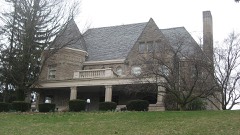
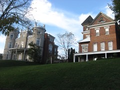
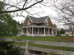
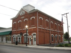
Listed on the National Register of Historic Places in
1982. A historic map-sheet match is not published yet. The record needs a coordinate-quality review before it can be joined to a sheet boundary.
From the record
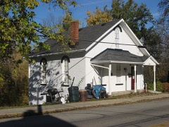
“The Port Jefferson School was a historic school in the village of Port Jefferson, Ohio, United States. Built in 1877, this two-story structure was once the most distinctive Gothic Revival school in rural western Ohio.”
Wikipedia article Port Jefferson School, CC BY-SA 4.0.
one of 19 National Register listings in Shelby County · listed in 1982 · category: Building · one of 1 National Historic Landmarks in Shelby County.
National Register reference number.82003641- the number the National Park Service assigned this property when it was listed, and the key its nomination file is catalogued under at the National Archives.
The ground it stands on
18,336 words
The chapter on Salem Township in History of Shelby County, Ohio, published 1883 names Port Jefferson. This is what it says, exactly as the scans read.
The town was named by Col. Jonathan Counts. There being another post-office in the State by the name of Port Jefferson, the P. O. at this place was named Pratt, after Dr. Pratt of Sidney. The first P. M. was Alex. Jackson. The mail was carried on horseback from Sidney to Marysville, Union County.
Port Jefferson was organized as a Special School District in the year 1858, since which time the Board of Education has consisted of six members instead of three, as before. The schools were held in a one-story brick house, which shortly afterward gave place to a two-story brick with two rooms. Prior to the organization of the special school district, the schools were only partly supported by public tax. After the public money was expended, the balance of the tuition was collected from the parents of the children in attendance. The duty of collecting this fund fell upon the teacher, which he had to do or not get pay for his labor. The usual wages were from thirteen to sixteen dollars per month of twenty-six days, and eight hours per day. To show the difference between teaching school in those days and the present, we will insert a resolution found on the school record dated Feb. 2, 1843:- - part in furnishing the wood for the school, and if you cannot, with the help of the large scholars, cut it up or induce the householders so to do, by sending them word by the scholars, we shall disband the school. We have done what we think is our duty to induce them so to do ; further, we want you to be more exact to your appointed hours, as complaints are entered against you in this particular.
Regional context, not property-specific
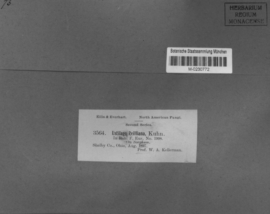
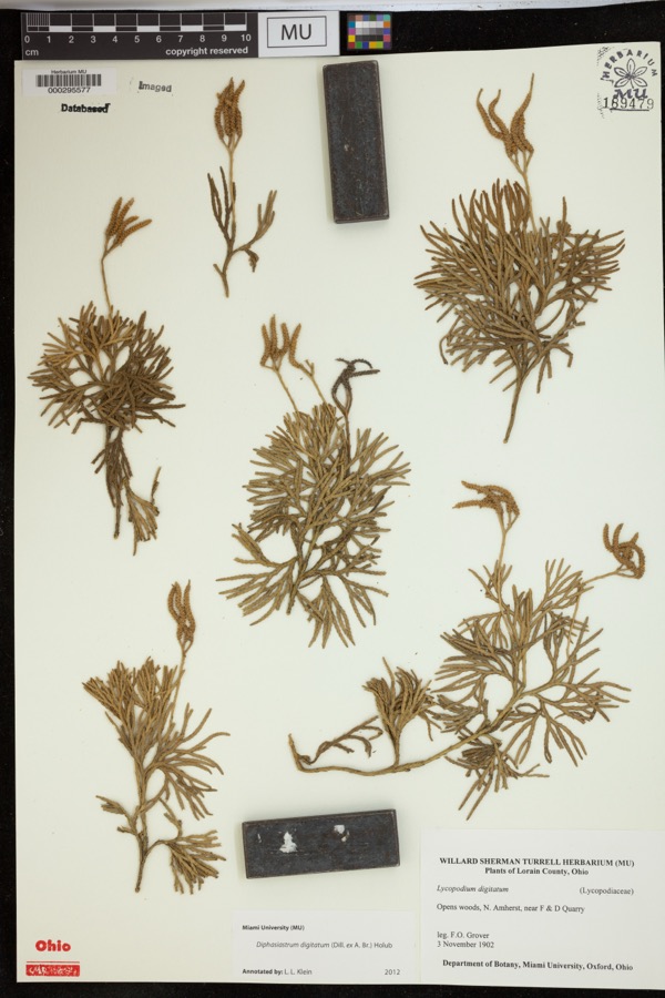
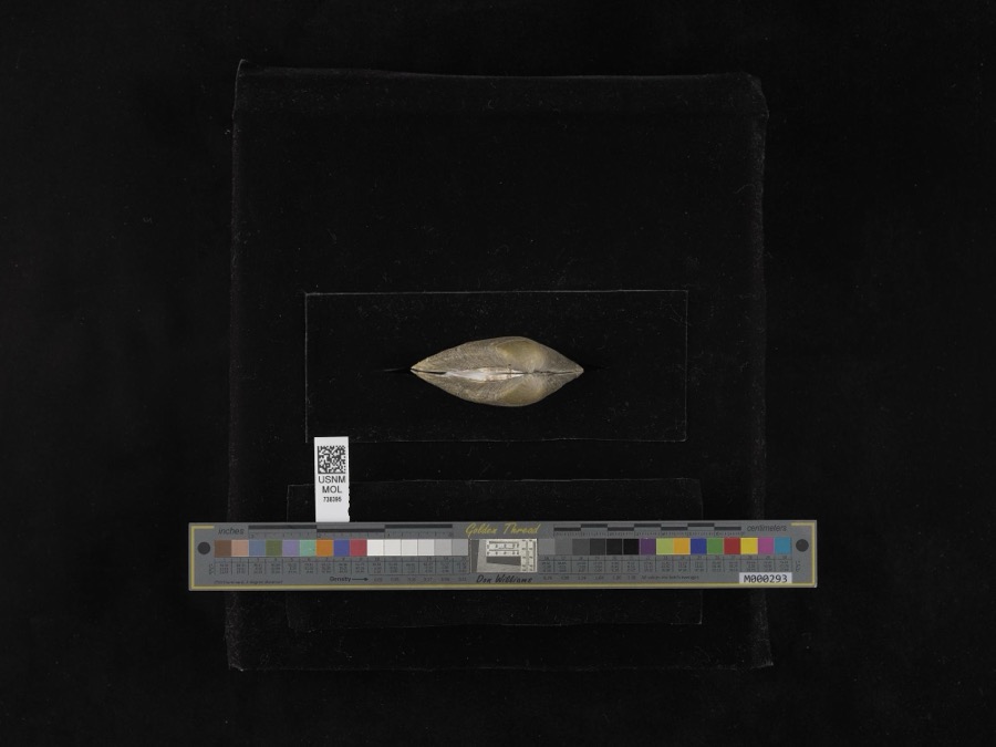
evidence. Museums hold 204 specimens
collected within 10 miles of Port Jefferson School between 1897 and
1967: 165 Animalia, 21 Fungi, 17 Plantae, 1 Unrecorded. 12 distinct Species records are shown.
Collected by A. R. Gaufin, A.R. Gaufin, A.R. Gaufin, H.H. Ross and others. Each is a
physical object with a catalogue
number, and each entry opens the museum's record. This is what was
collected and kept, not a survey of what lives here - nothing can be
concluded from a species being absent.
Regional context, not property-specific
evidence. The federal mineral resources record lists
2 workings within 5 miles of Port Jefferson School: 1 unknown, 1 producer.
1 still produces. What was taken out: Sand and Gravel, Construction. Distance is straight-line from the
map coordinates, so a quarry counted here may appear on a neighbouring
settlement's page as well.
Regional context, not property-specific
evidence. The National Weather Service names
Port Jefferson, the town this property stands in, in 20 storm reports between 1994 and 2025: 14 thunderstorm wind, 3 hail, 2 flood, 1 tornado.
No death or injury is recorded in these reports. Each account below is quoted exactly as the forecast office
filed it, from the NOAA Storm Events Database, and each date
opens the federal record of that event.
A strong microburst caused damage to homes across the eastern part of the county. One house was blown off of its foundation, and several others sustained major damage. Numerous trees were downed across the area. Maximum wind speeds were estimated between 100 and 120 mph.
No historic map-sheet match is published
for this property yet. That does not mean no map exists. This record needs
a coordinate-quality review before it can be joined to a sheet boundary.
Browse the county's mapped places while that work is
pending.
From the nomination file
2,927 words on record
When this property was proposed for the
National Register, someone wrote the case for it: what the building is,
and why it matters. That document is a federal record in the public domain.
It is quoted below word for word, never summarised. The text was read off the scanned case file by machine, so the
occasional stray character is the recogniser's and the 1970s
typewriter's.
Description of the property
down for another few feet until it forms small shelves at the ends of the arch on each site one large classroom on either side both upstairs and downstairs. being an intrusive element for this building, it allows more serviceability for unaltered reuse by the village. ruins On either side of the entrance and set back both on the front and at the sides are The entrance opens into a central hall that divides the building so that there now is blackboaris built ata height for older students,but easily adapted for elementary unexposed keystone that has an inscription date of 1877 at the highest part of the trree tiered the nortn and the south.
Xaltered _X original site moved date stone capping spreads down a few feet on either side to create smaller peaks that have mock bell towens with treatment at pairs of windows on each floor and each side so that a door and open metal fire escape could be added. Originally, there nay have bes. According to Sutton's county history, the structure measured 60' x [4' with a total Check or surrounds, keystones and adjoining drop labels and silis. The belltower once had an ope: that is to the back. On the second floor, the last of the four windows has been altered identical.
supported by pairs of flat pilasters.The outer pilasters are buttressei with heavy are reserved for the staircase in the southeast corner and offices with frosted glass to e This two story brick school has a projecting frontispiece with a Victorian Gothic Rather than stone,Acentre pointed arched glass transom with tracery over a recessed single door to the rear that attached a multi-purpose and recreational room from l956. maintained through the years with great respect to the integrity both inside and outside.
(in one paragraph) example of a sonool built in the Victorian Gothic style in this part of western Ohio. Builder/Architect Ur kniwn agriculiture and 'incorporated in 1842. It is situated along the Miami River just four miles Recently a task industry archeology-historic 2877 deeded to the village of Port Jefferson.Since the structure is in good conditior ar. cominunity planning the village council.The l956 addition in the rear will be available for public in this part of the state and stands as a signal for an era in rural communities var that was being cuilt in Sidney at the same time and designed by Samuel Lane of Cleeiai -1599 transco and more recent-y as an elementary school until the spring of l98. The building served the community as a school for lo4 years,first as a higt.
sohc: socia Verbal boundary description and justification Jean Easton and Mary Ann Brown 419-586-2365, Exxt 53 street & number 7600 State Route 703 city or town county Easting Celina date Northing Ohio Zone 7/81 national code coce List all states and counties for properties overlapping state or county boundaries telephone UMT References
Quoted from the National Register nomination
for reference 82003641, 23 pages, held by the National Archives in Record
Group 79. See the
catalogue record.
Listed places nearby
6 within 8 miles
Other National Register properties close
enough to walk or drive between, ordered by distance from this one. Both
positions come from the same geocoding pass that matched these properties
to their map sheets.
Listing record. National Park Service National Register of Historic Places, listed-properties dataset, current to 2026-05-22.
Map join. Address geocoded through the United States Census geocoder, then tested against the published boundary of every sheet in the USGS Historical Topographic Map Collection.
How this page is made. Listing fields come from federal records; map-sheet coverage is a labelled coordinate-to-boundary calculation, not a source-field claim.
Specimens. Global Biodiversity Information Facility (GBIF), https://www.gbif.org/. Only records licensed CC0 or CC BY are used. Records licensed CC BY-NC are excluded because this site carries advertising. Images are checked individually and any whose licence is non-commercial, no-derivatives or unreadable is refused.
Mines and quarries. USGS Mineral Resources Data System (MRDS) https://mrdata.usgs.gov/mrds/ A work of the United States government, no copyright under 17 U.S.C. 105.
Storms. NOAA National Centers for Environmental Information, Storm Events Database https://www.ncei.noaa.gov/stormevents/ A work of the United States government, no copyright under 17 U.S.C. 105. Narratives are quoted verbatim from the National Weather Service report and are not edited or summarised.
 Block
Block