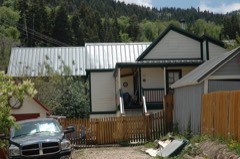
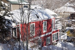
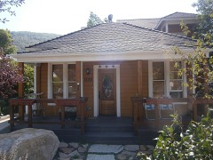
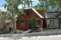
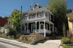
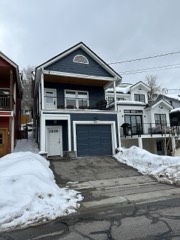
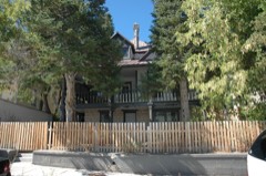
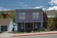
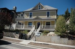
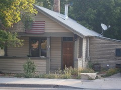
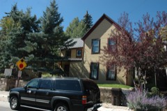
Block
From the record
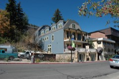
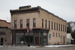
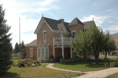
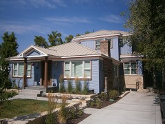
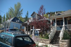
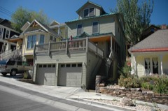
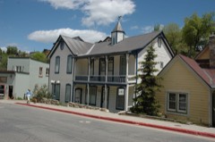
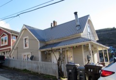
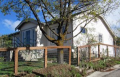
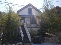
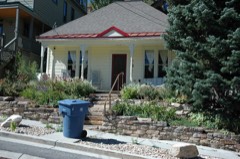
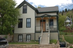
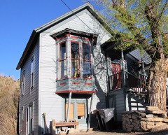
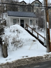
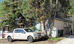
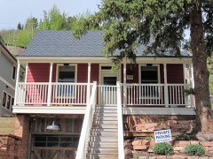
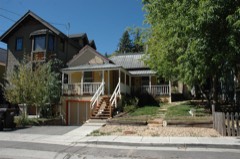
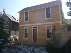
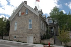
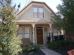
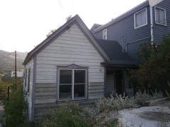
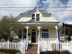
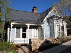
111 National Register listings published here.
Sources: the National Register database, National Park Service
98 topographic sheets and 6 fire insurance atlases across 2 places.
111 National Register listings published here.
Sources: the National Register database, National Park Service
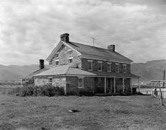
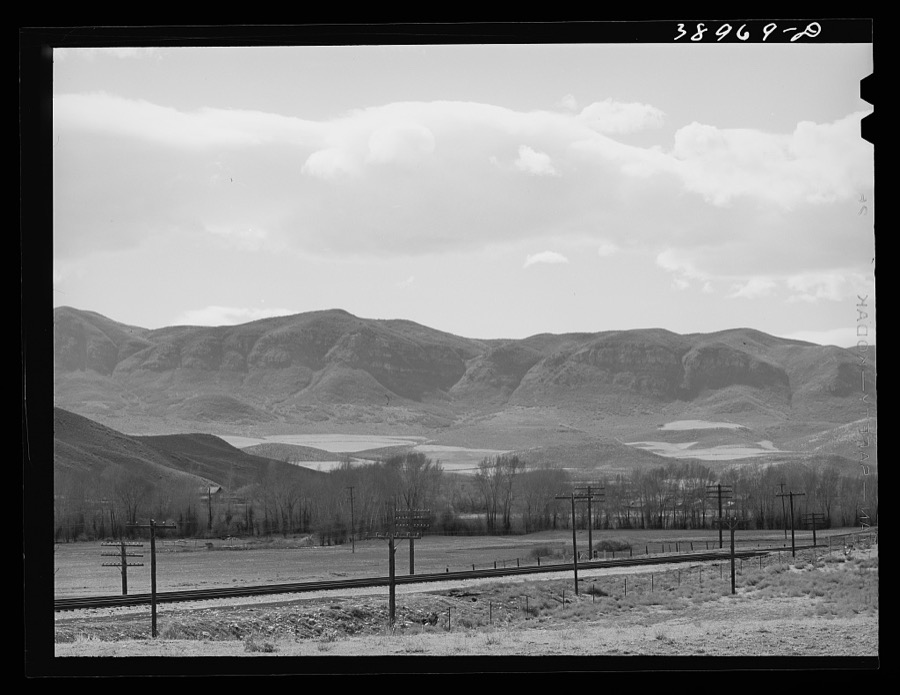
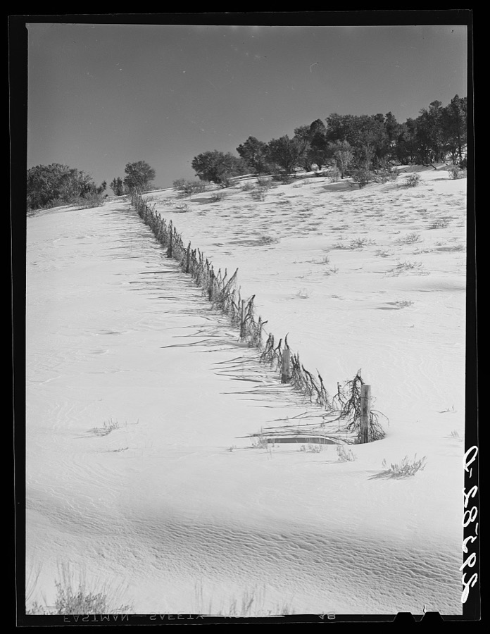
Taken for the Office of War Information and the Farm Security Administration, who photographed the country between 1935 and 1944. Works of United States government photographers, with no known restriction on use. Each opens its catalogue record.
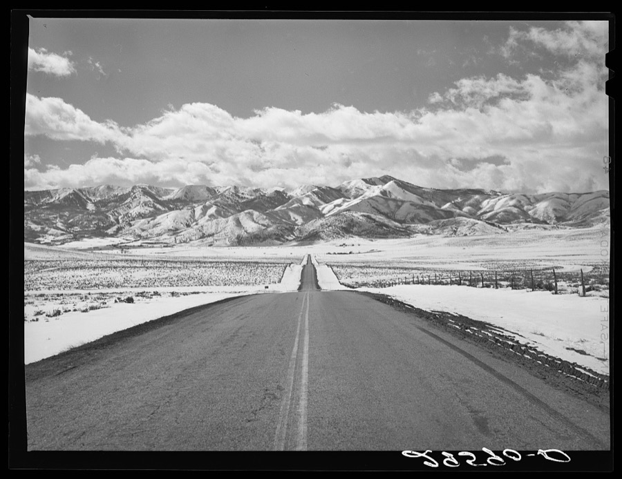
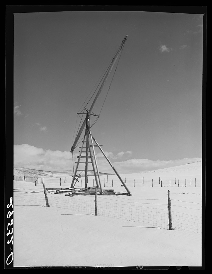
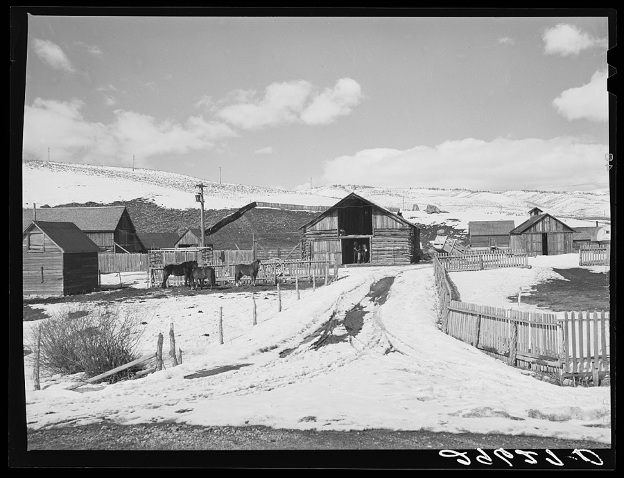
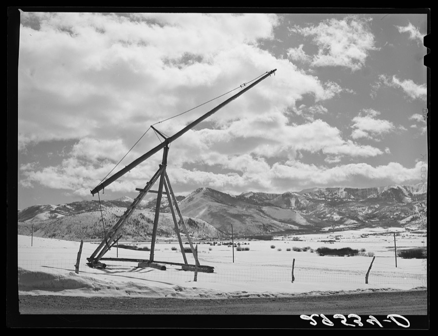
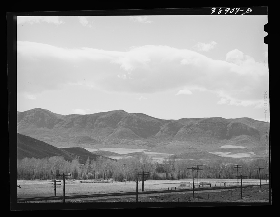
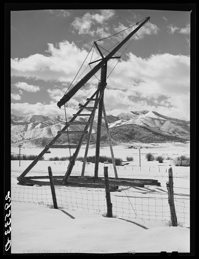
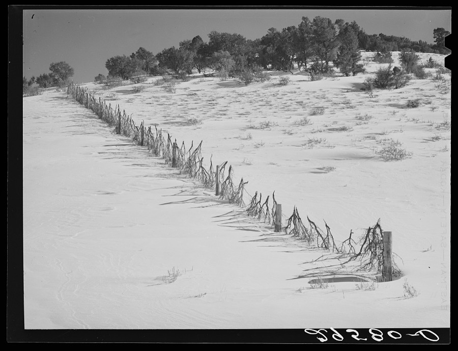
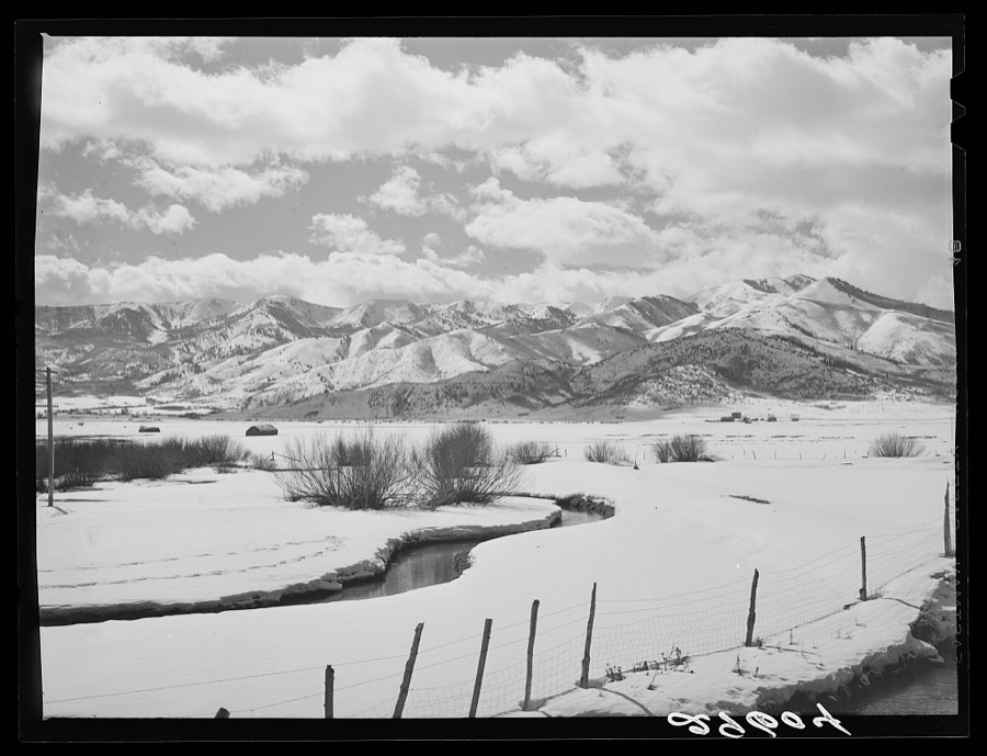
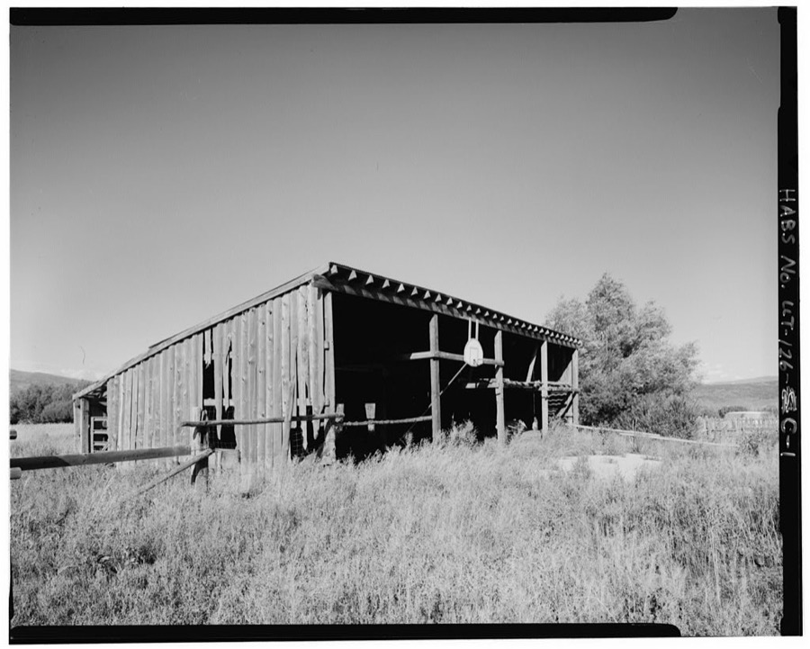
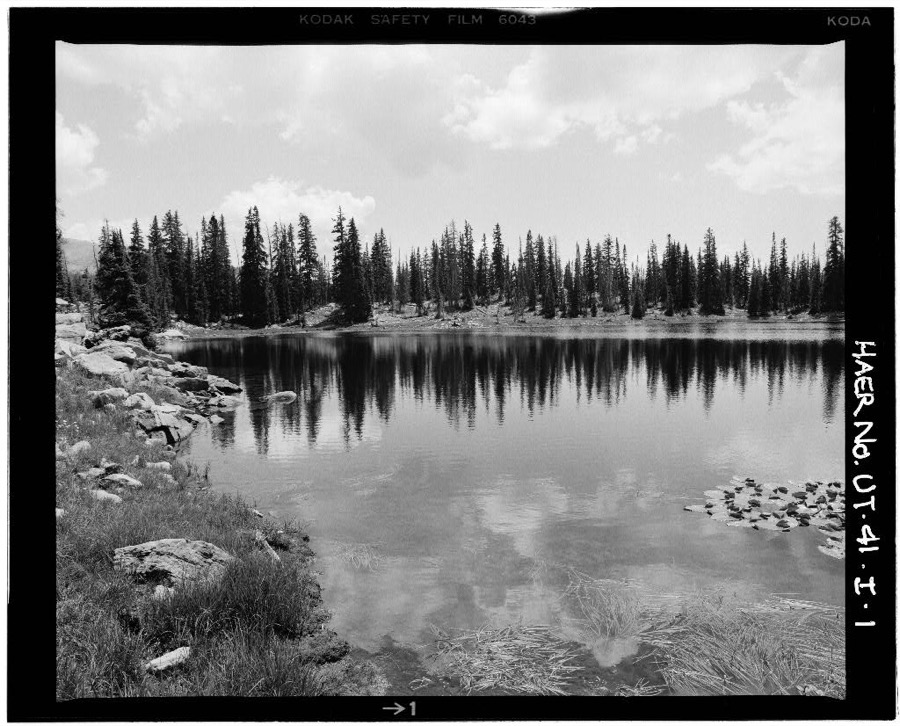
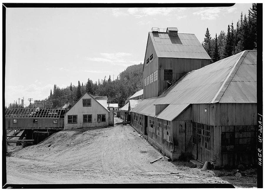
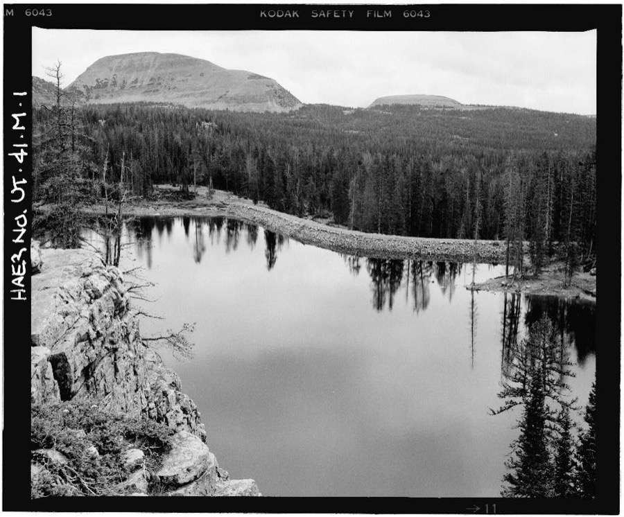
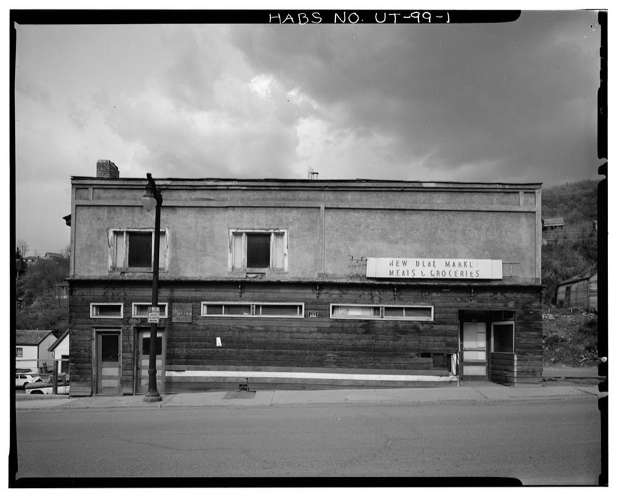
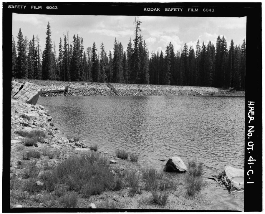
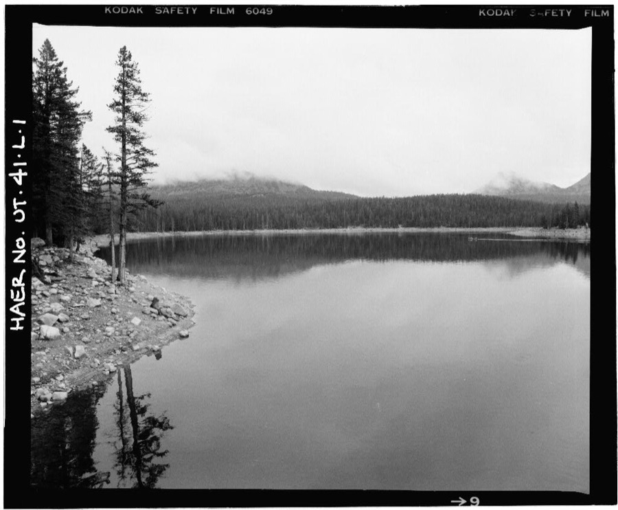
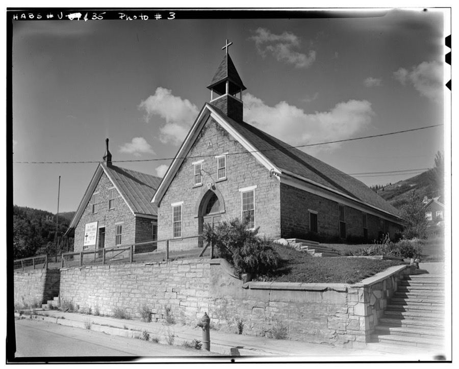
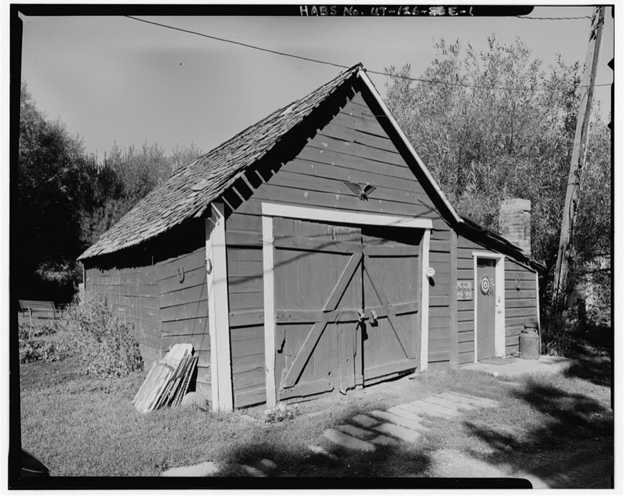
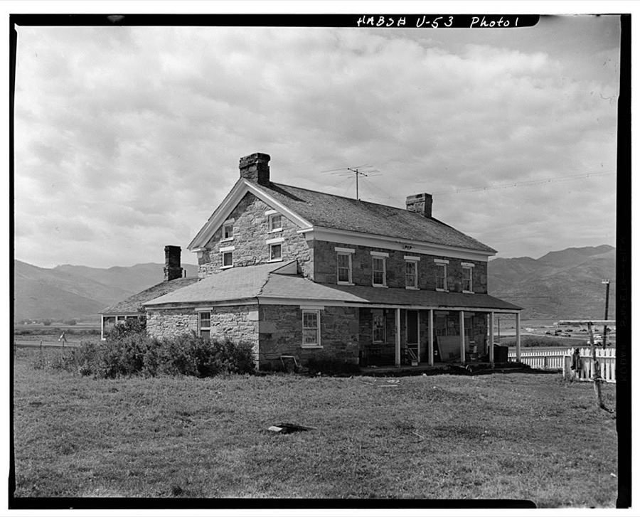
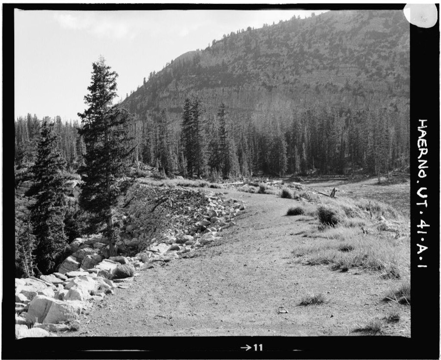
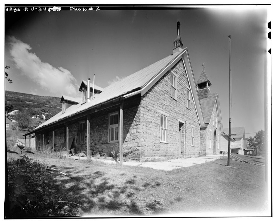
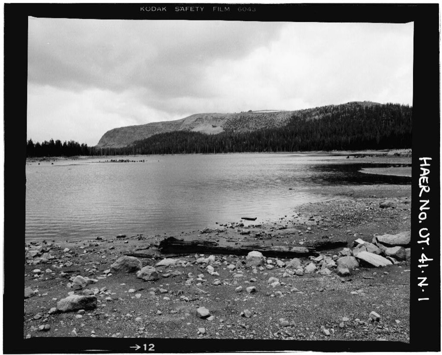
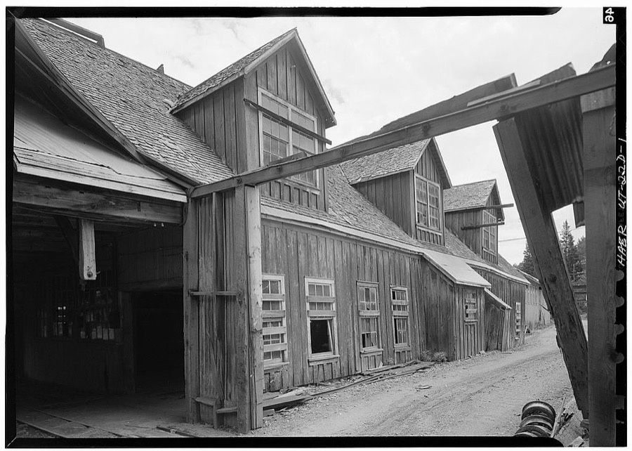
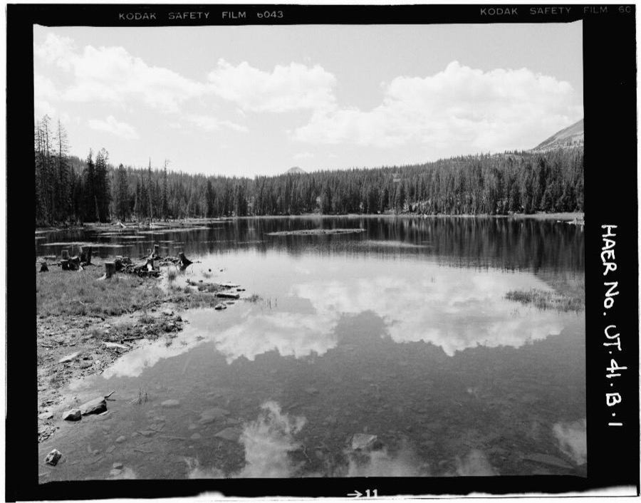
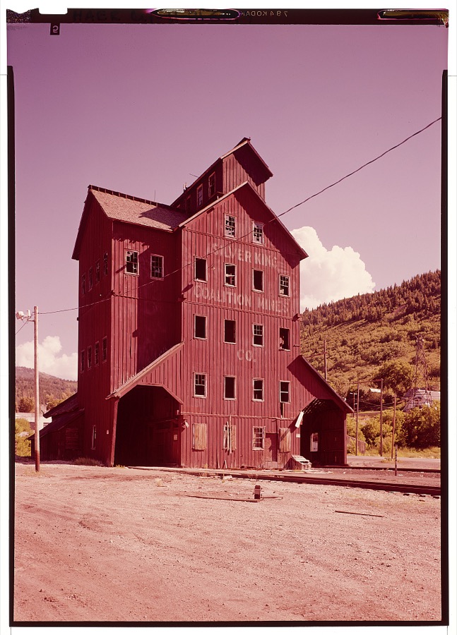
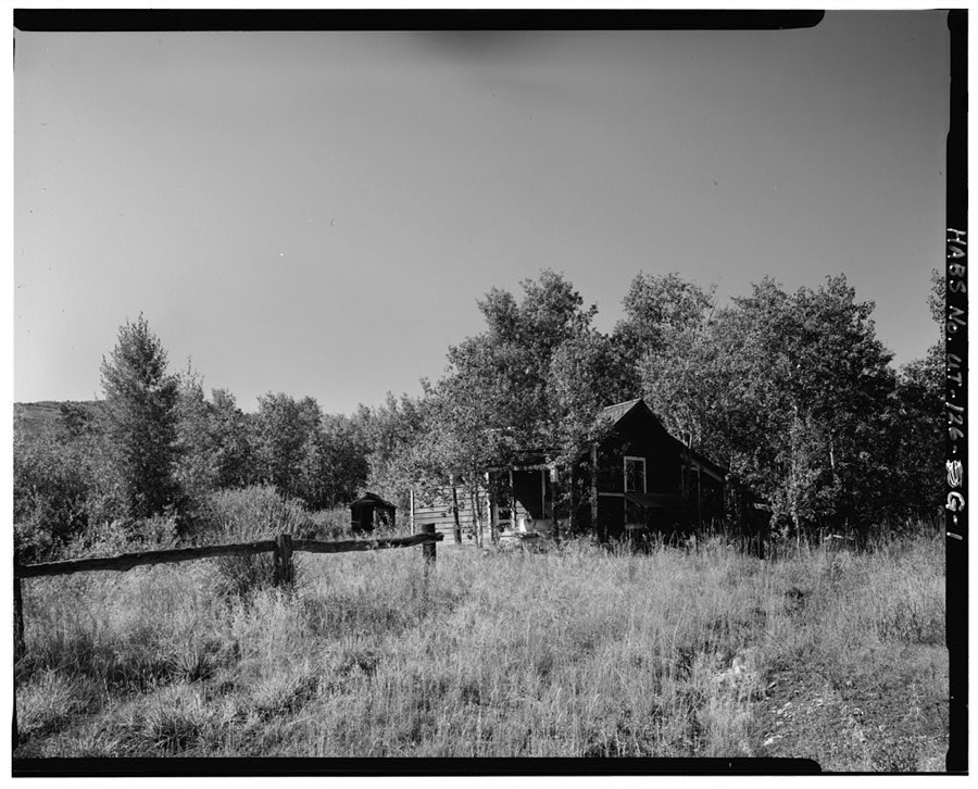
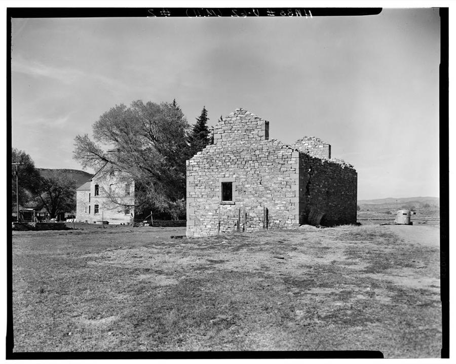
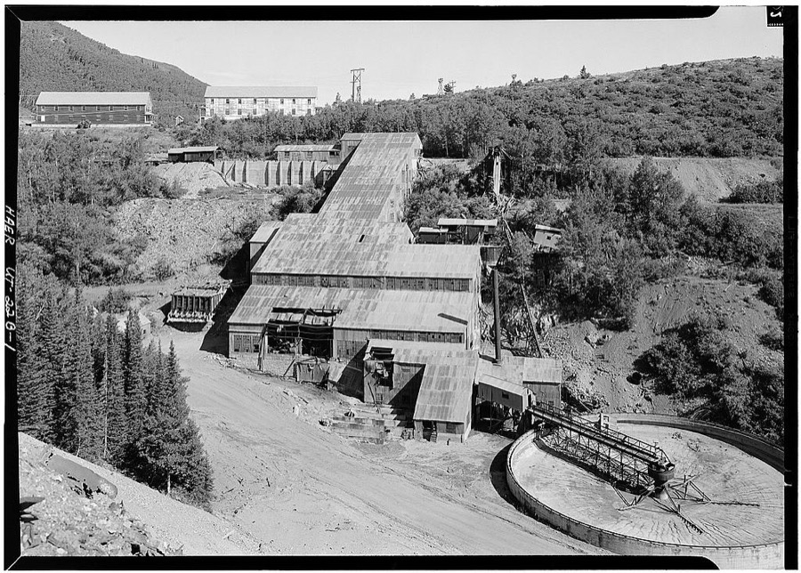
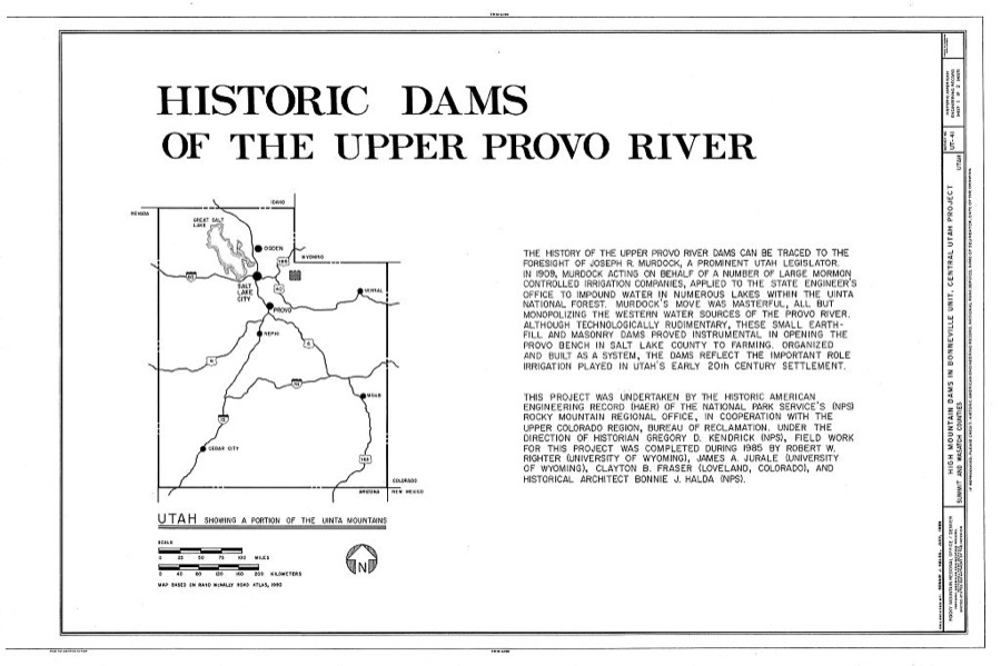
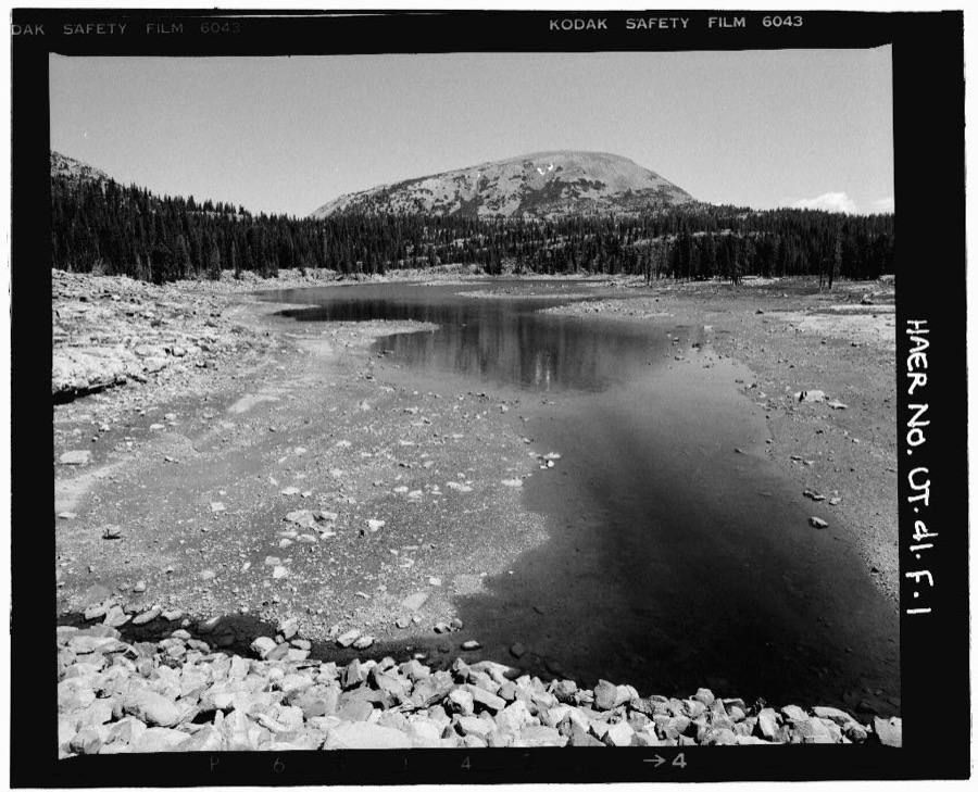
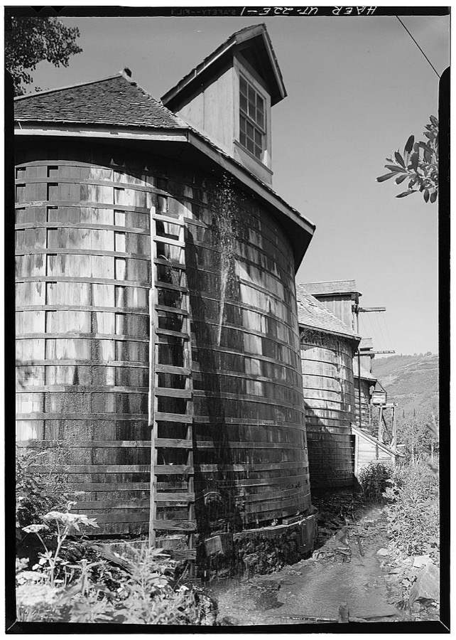
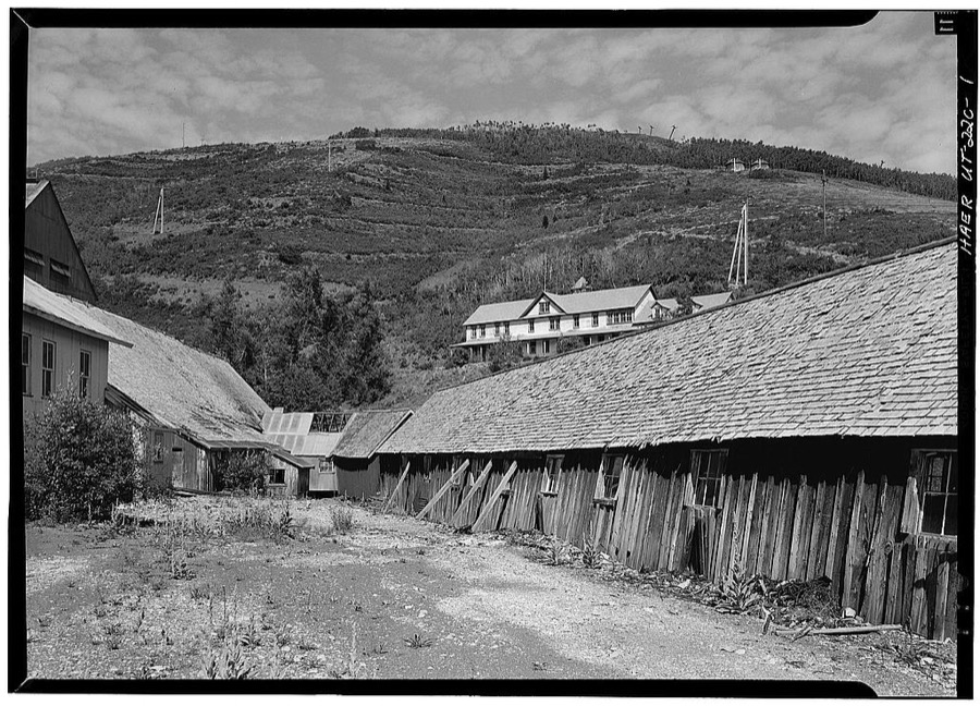
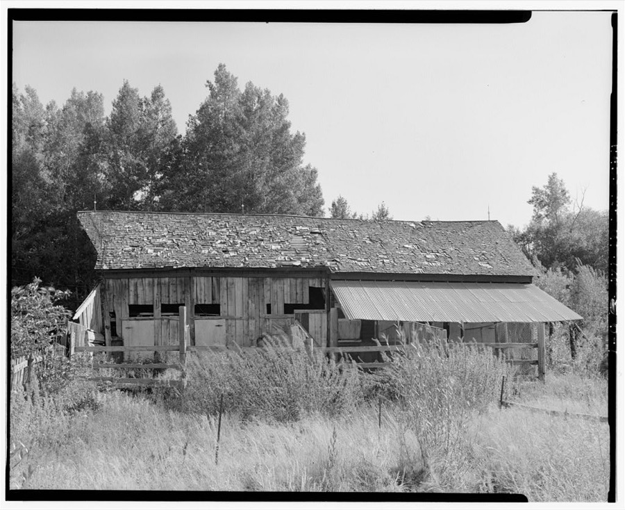
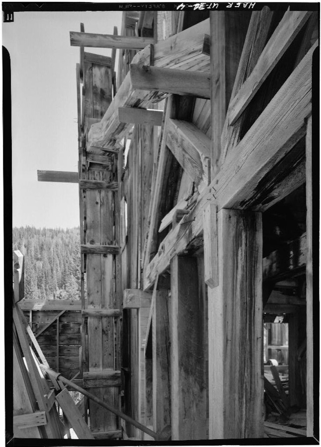
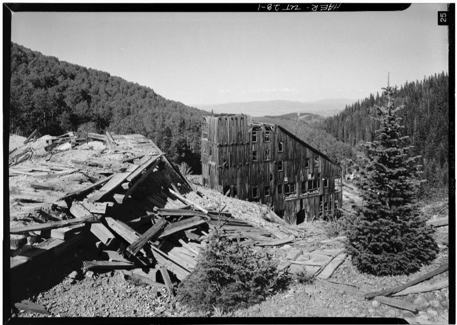
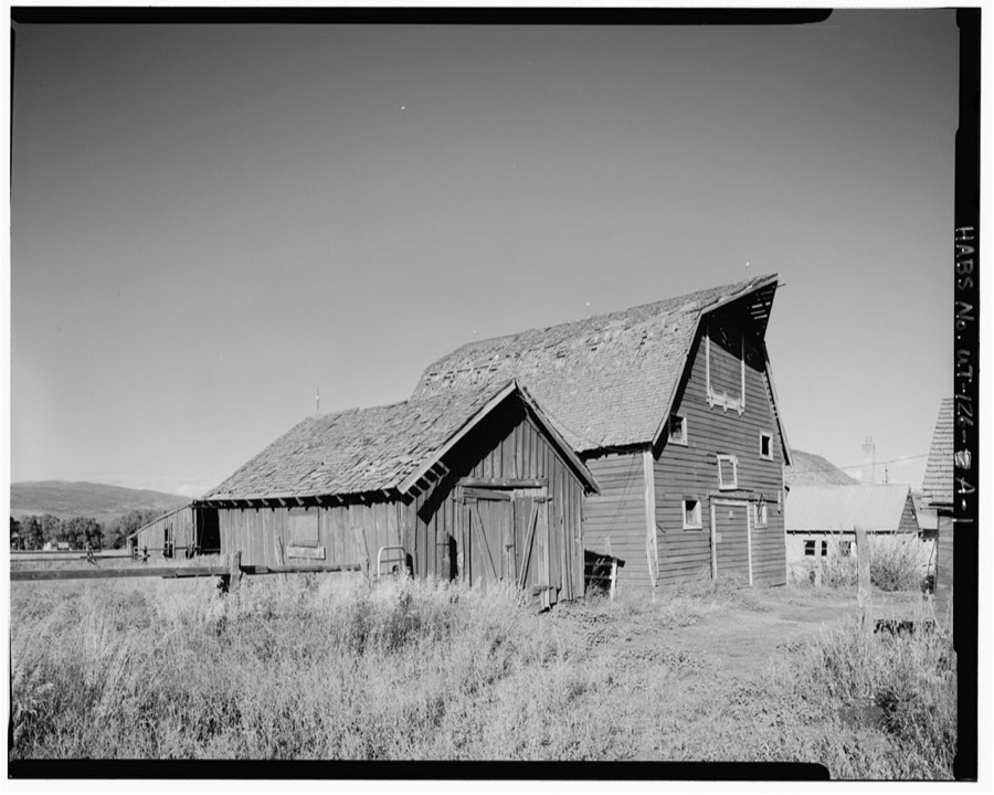
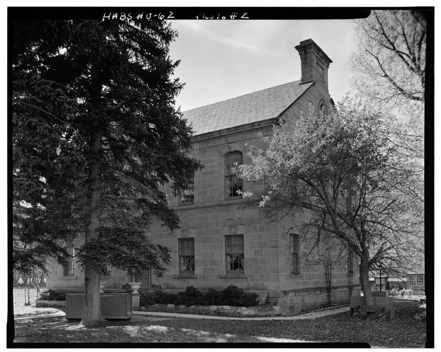
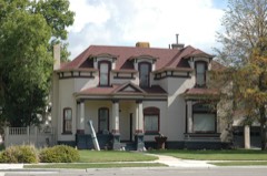
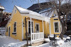
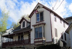
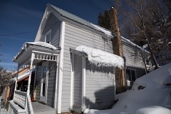
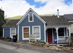
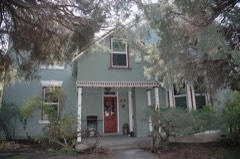
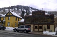
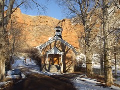
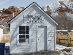
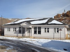
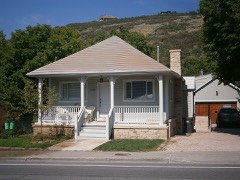
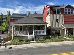
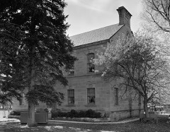
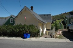
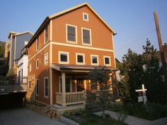
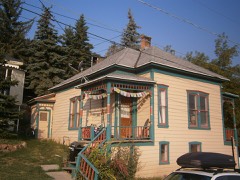
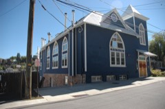
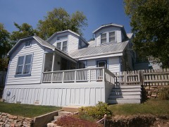
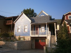
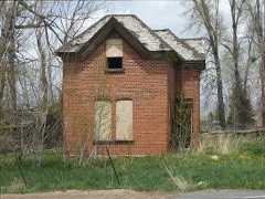
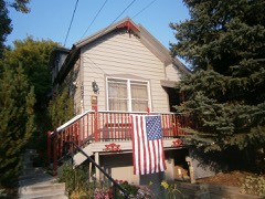
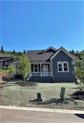
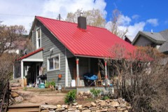
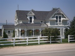
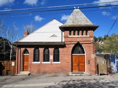
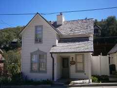
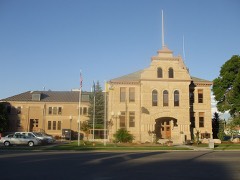
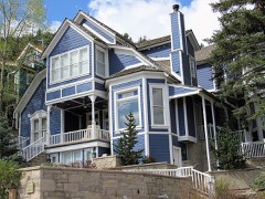
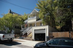
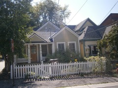
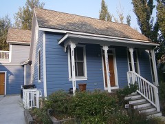
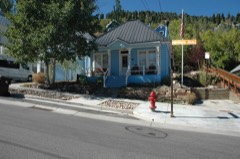
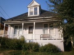
Every property in this county listed on the National Register of Historic Places, with the year it was listed and the federal nomination document.
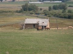
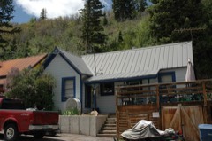
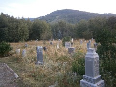
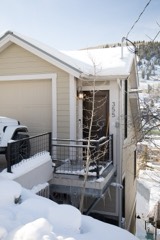
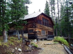
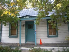
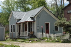
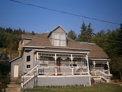
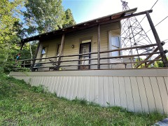
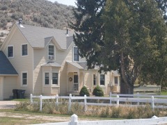
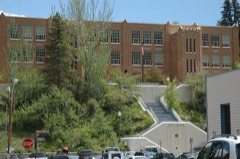
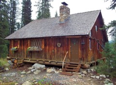
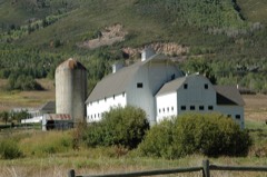
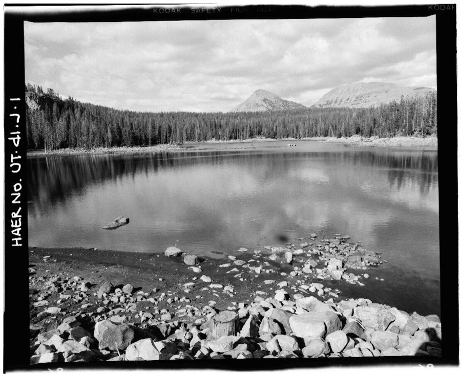
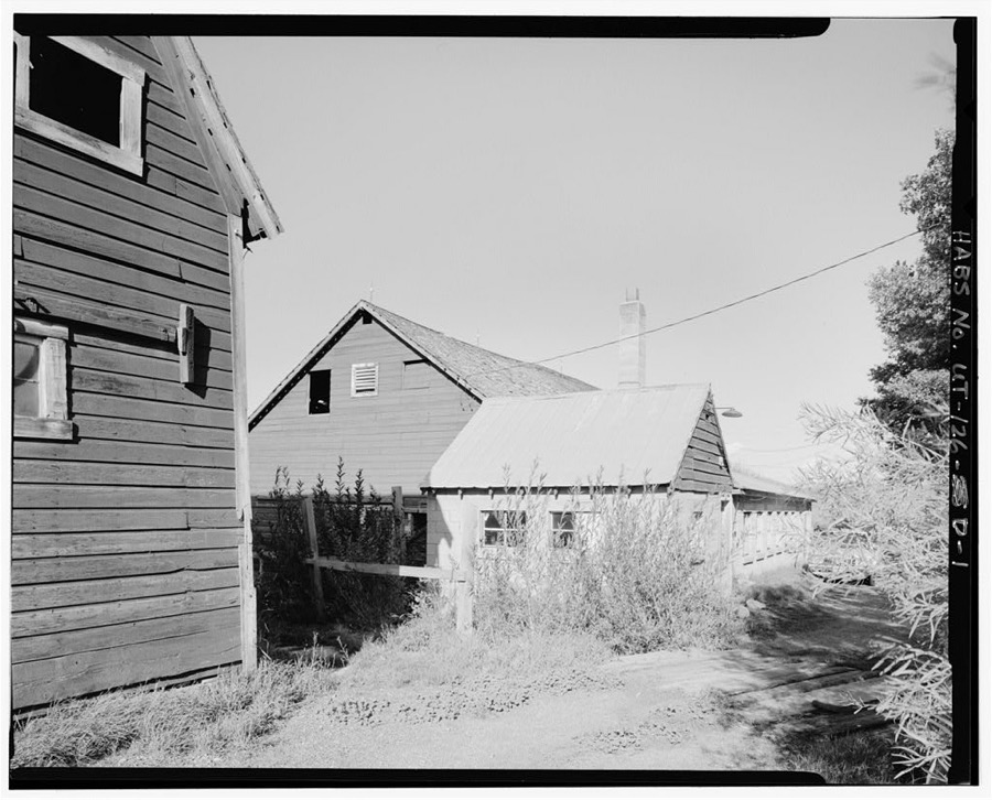
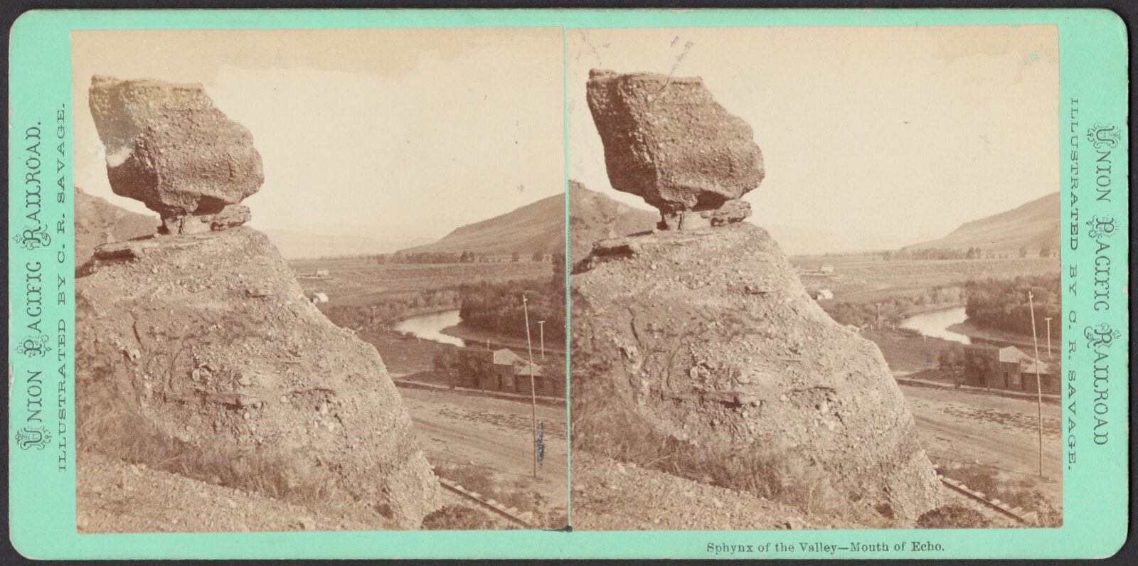
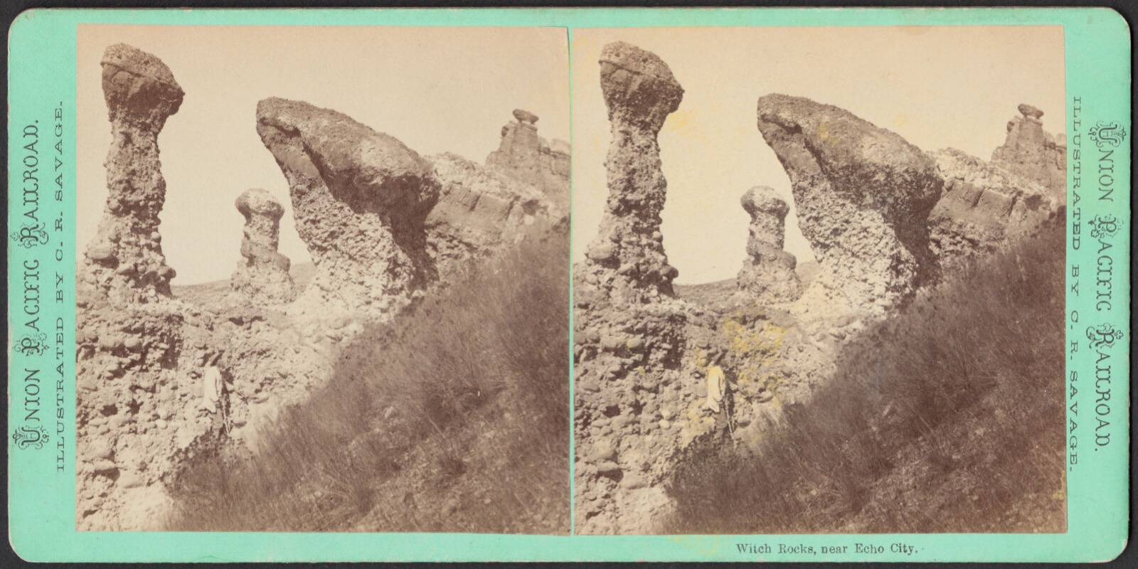
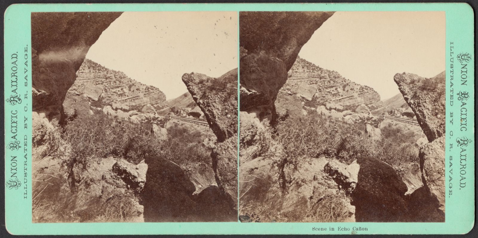
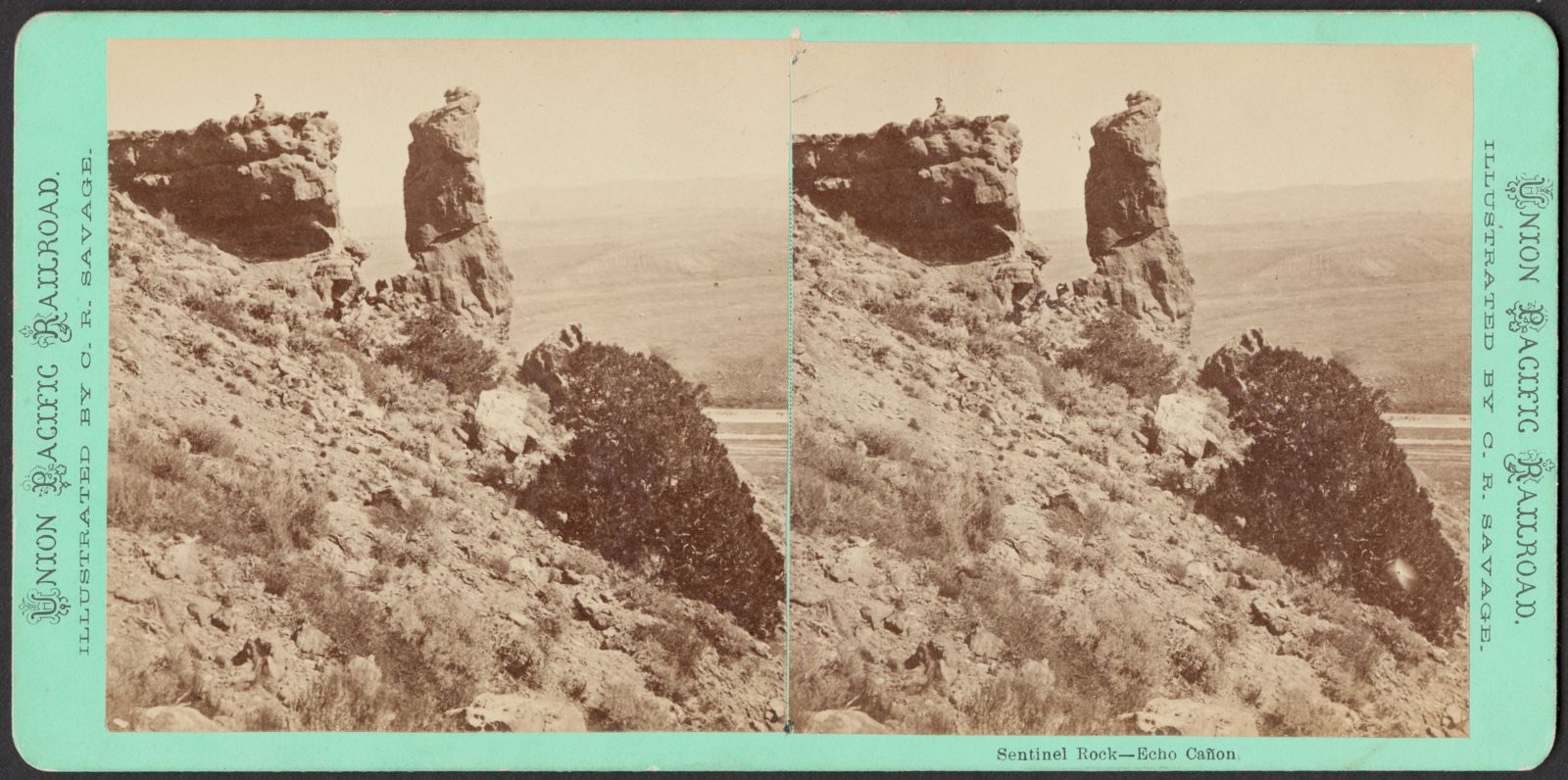
Selected from the Digital Public Library of America's 10 image records catalogued for this county. Every one shown here carries a public-domain status or a licence that permits reuse on a site that carries advertising; non-commercial, share-alike and restricted images are excluded. The selection is spread across the county's towns (at most eight per town), so no single institution's bulk upload crowds out the rest. Each opens the holding library's record, and the complete set at the Digital Public Library of America is one click away.
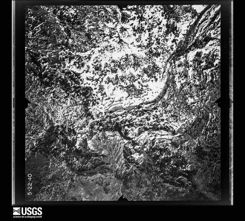
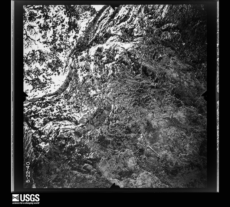
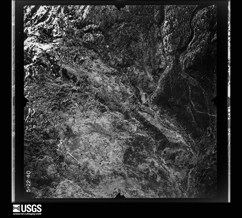
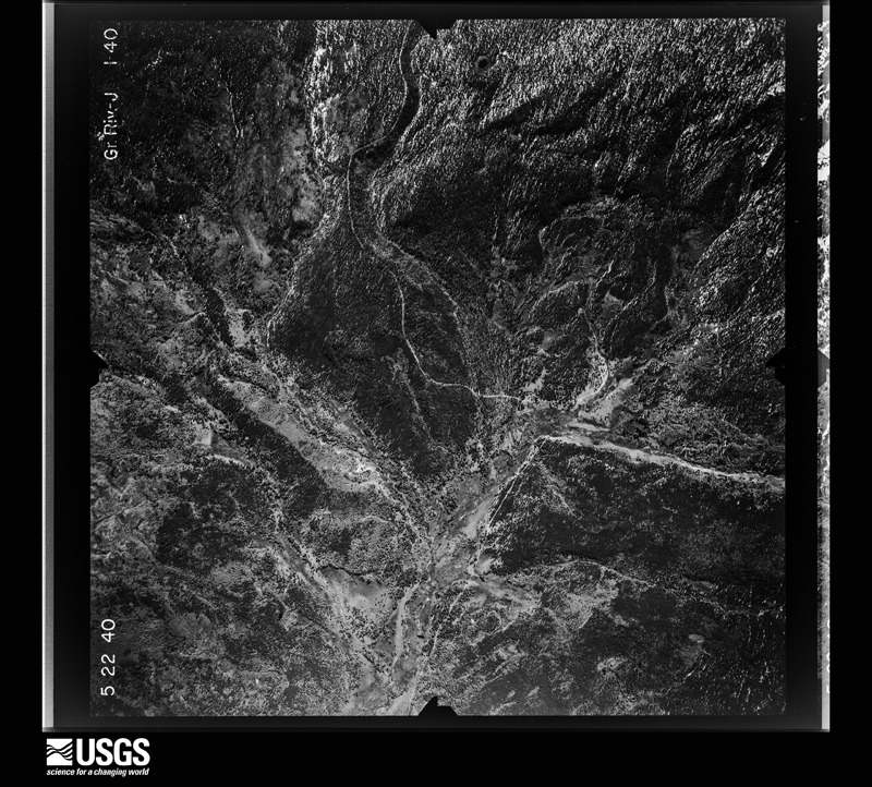
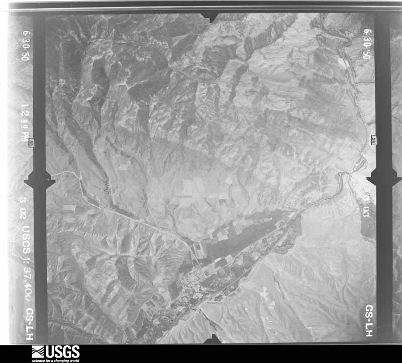
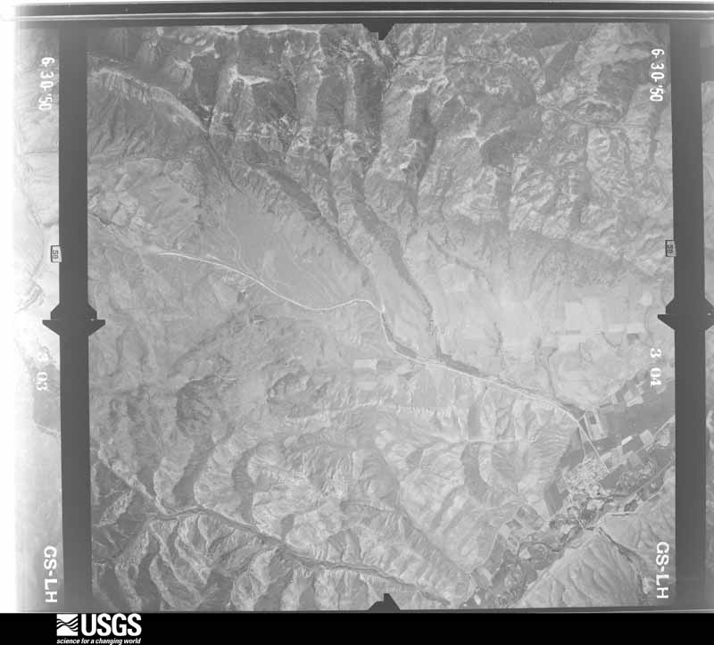
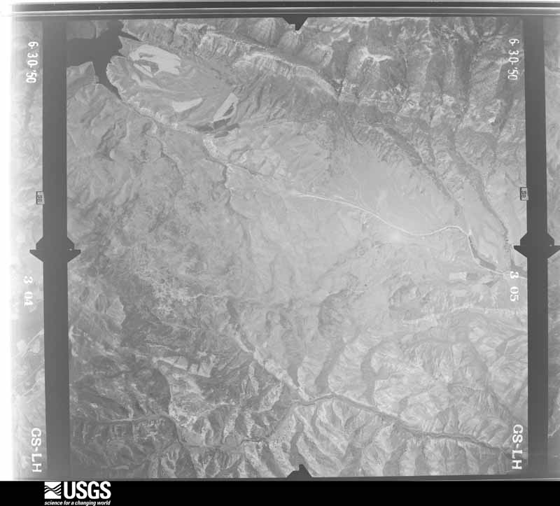
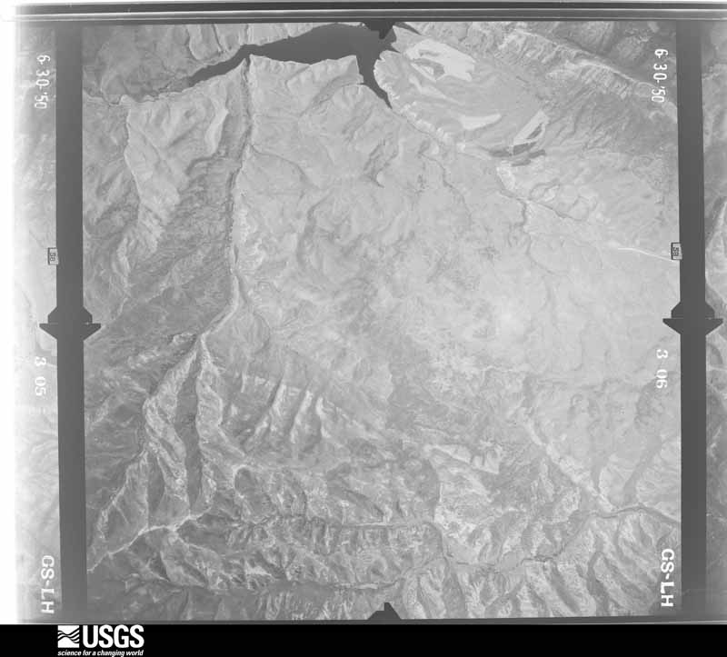
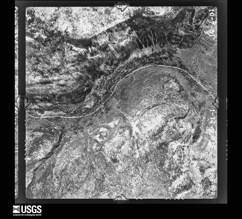
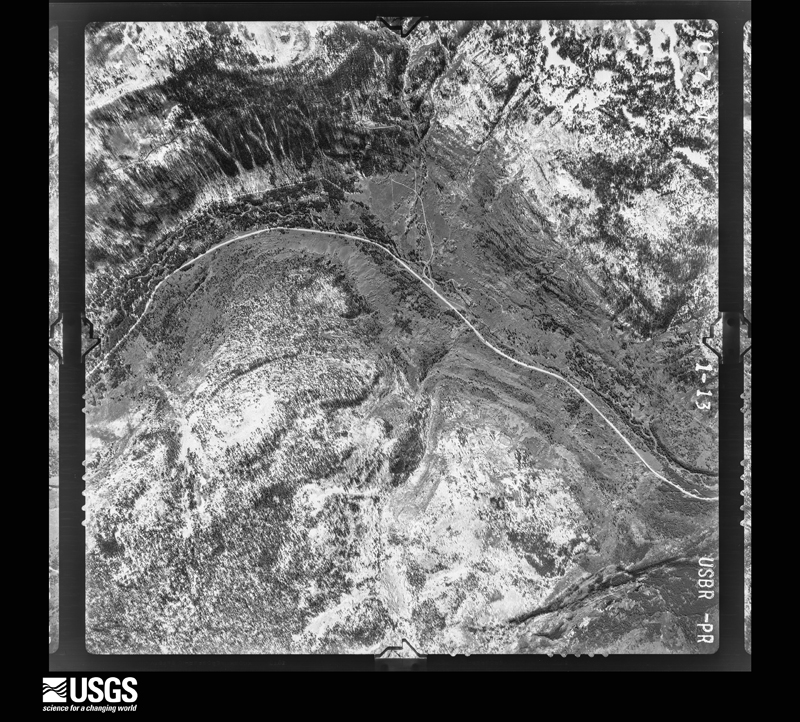
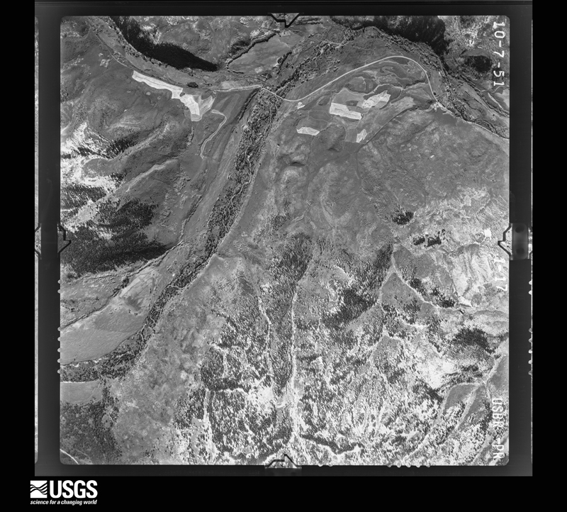
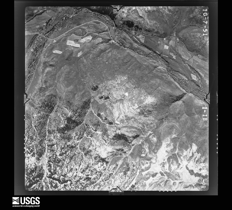
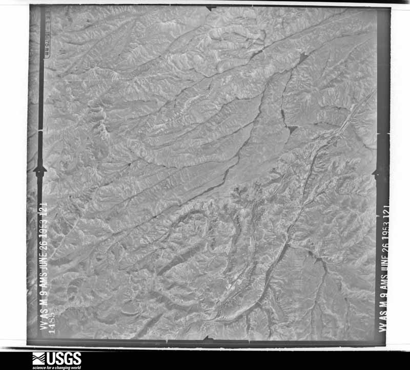
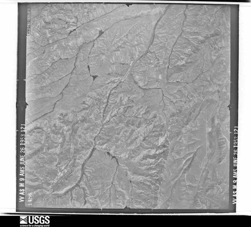
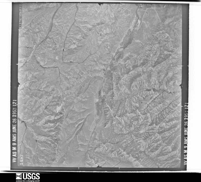
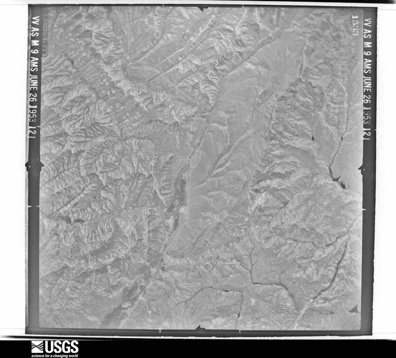
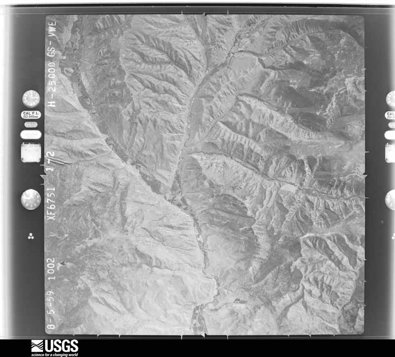
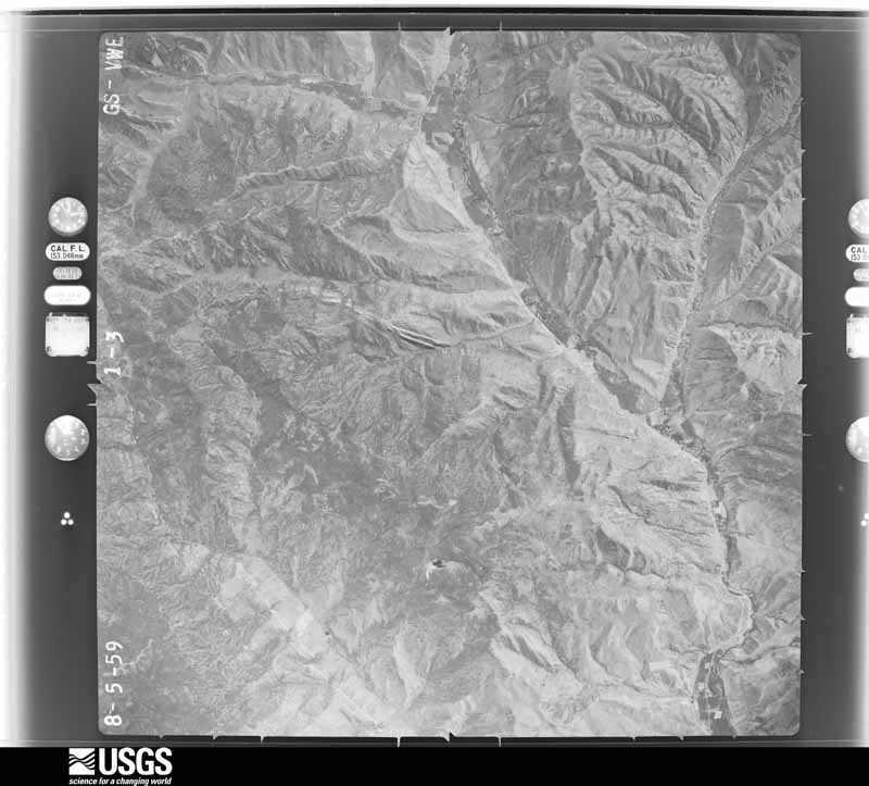
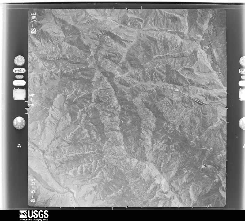
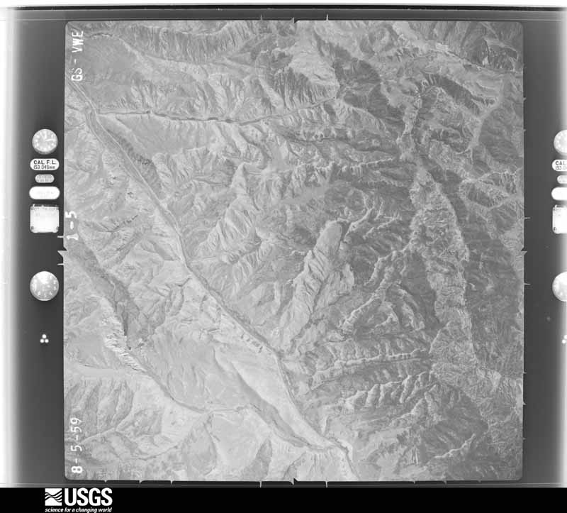
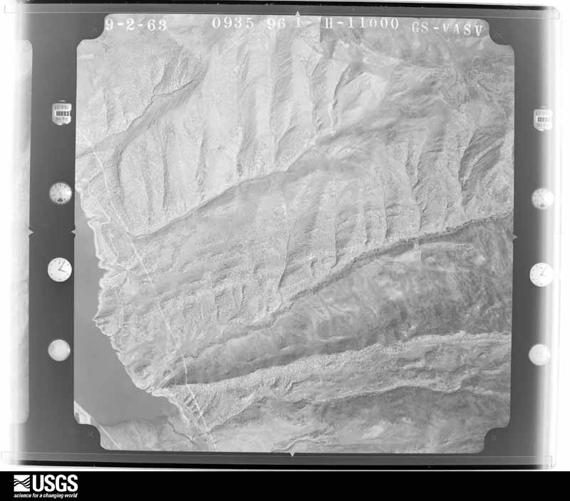
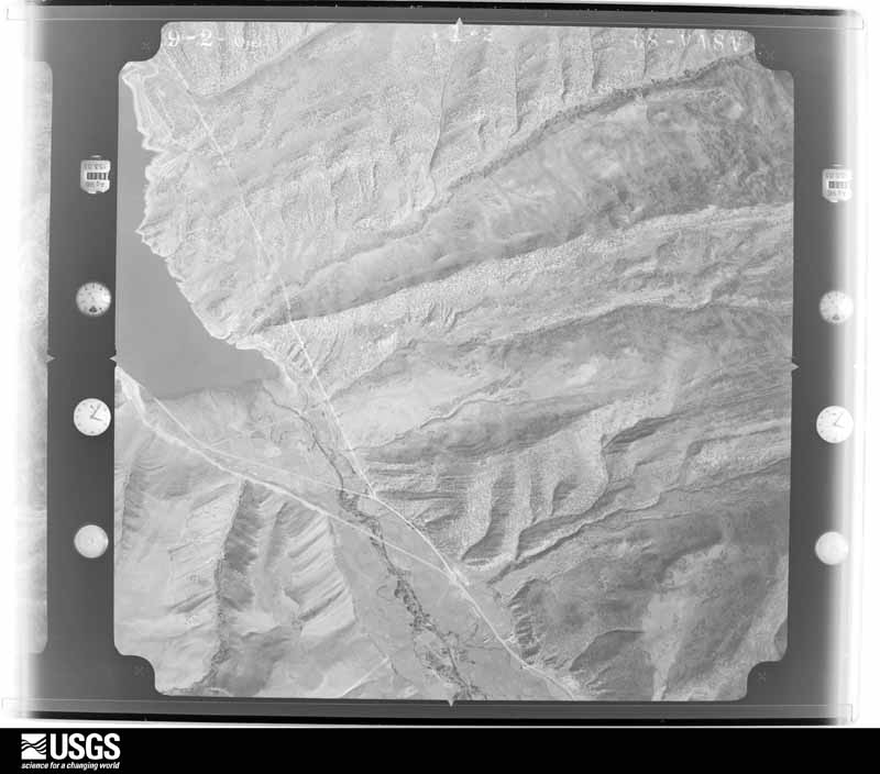
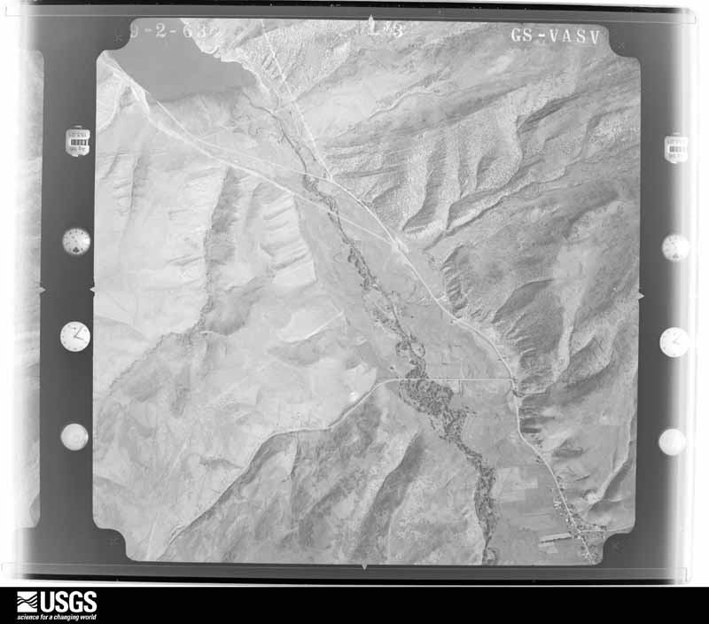
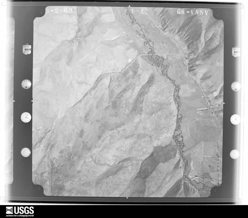
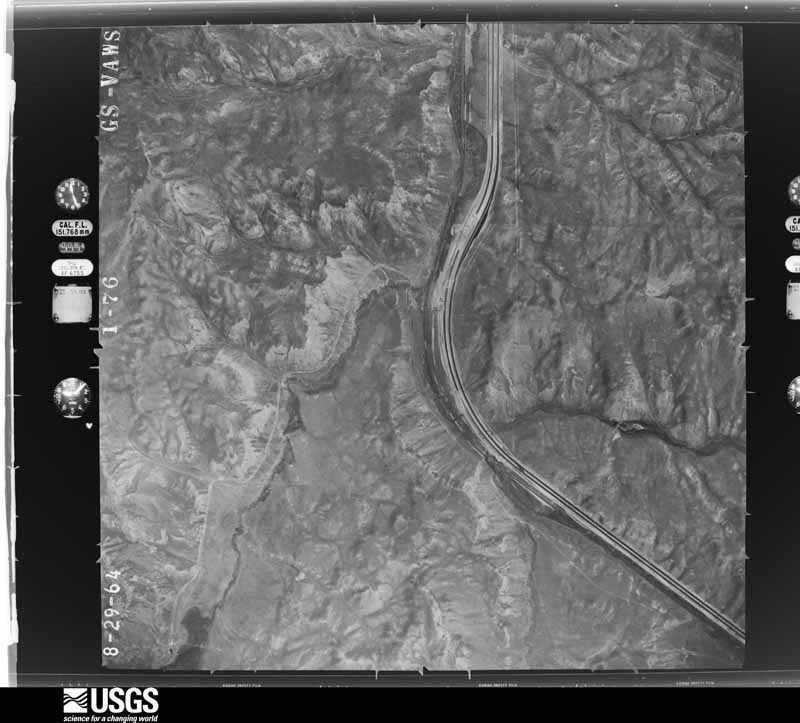
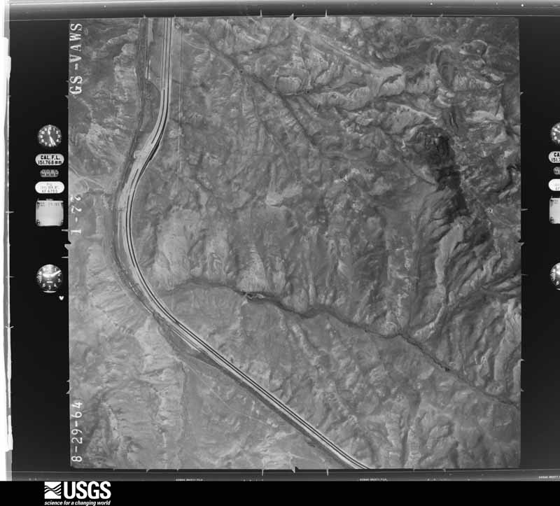
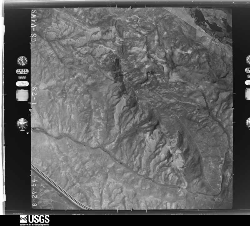
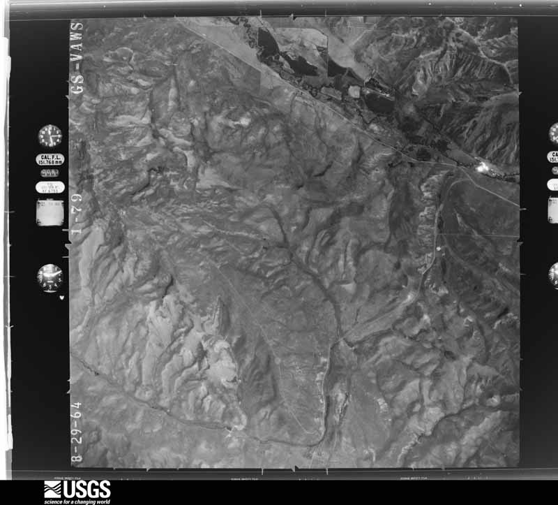
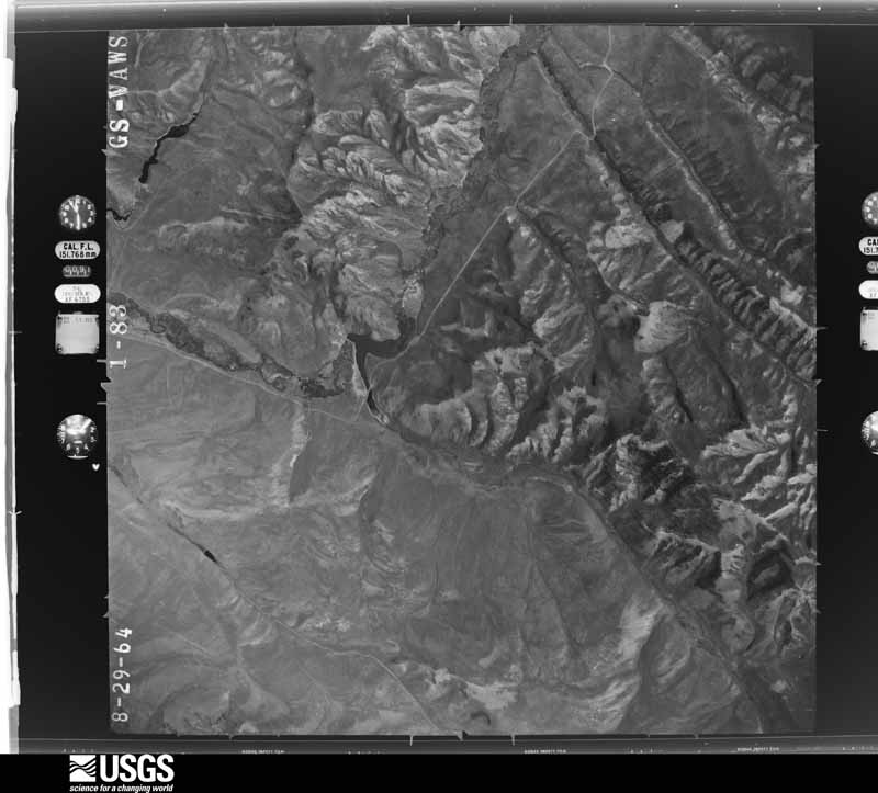
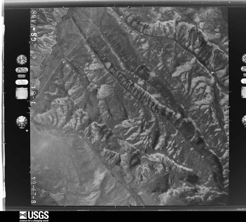
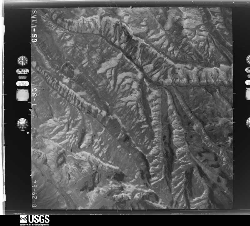
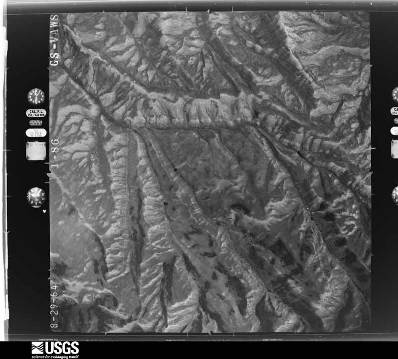
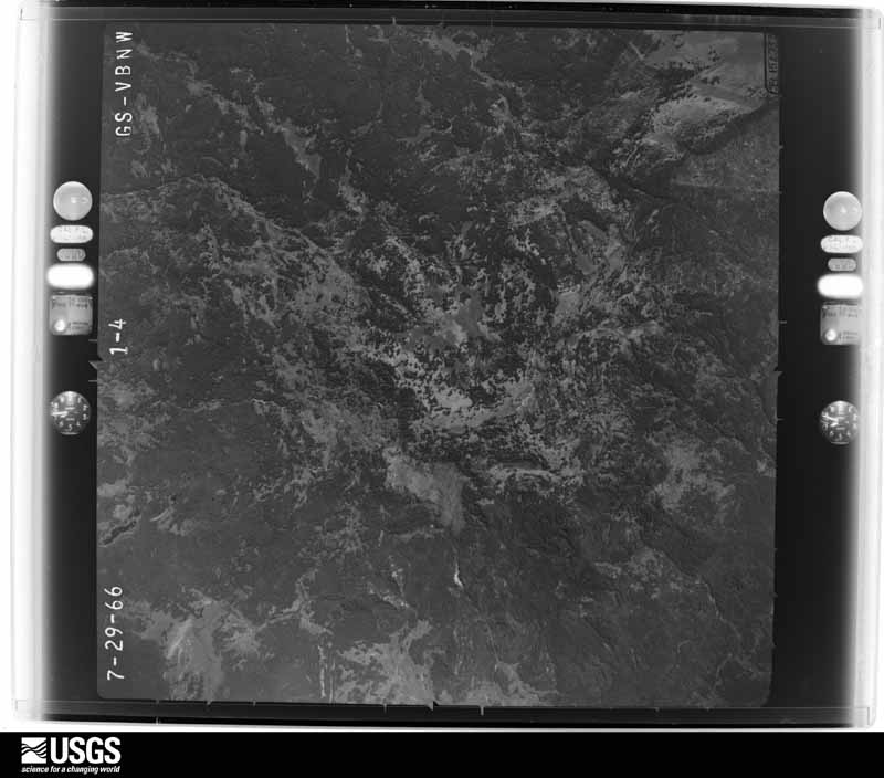
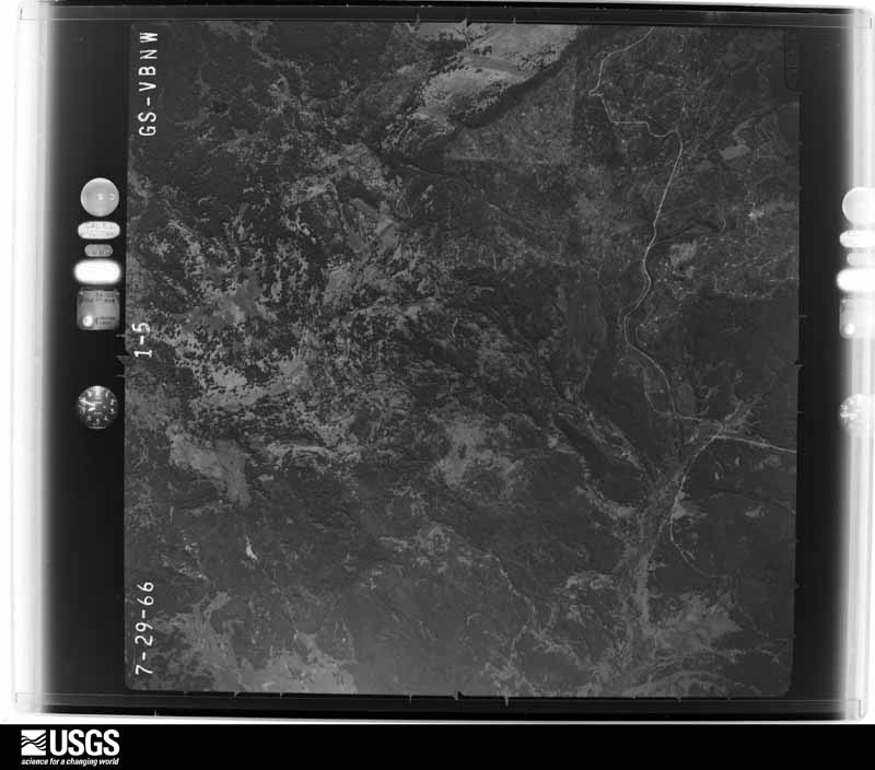
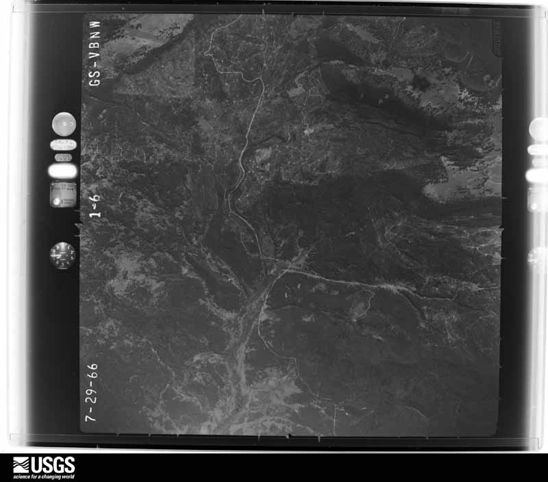
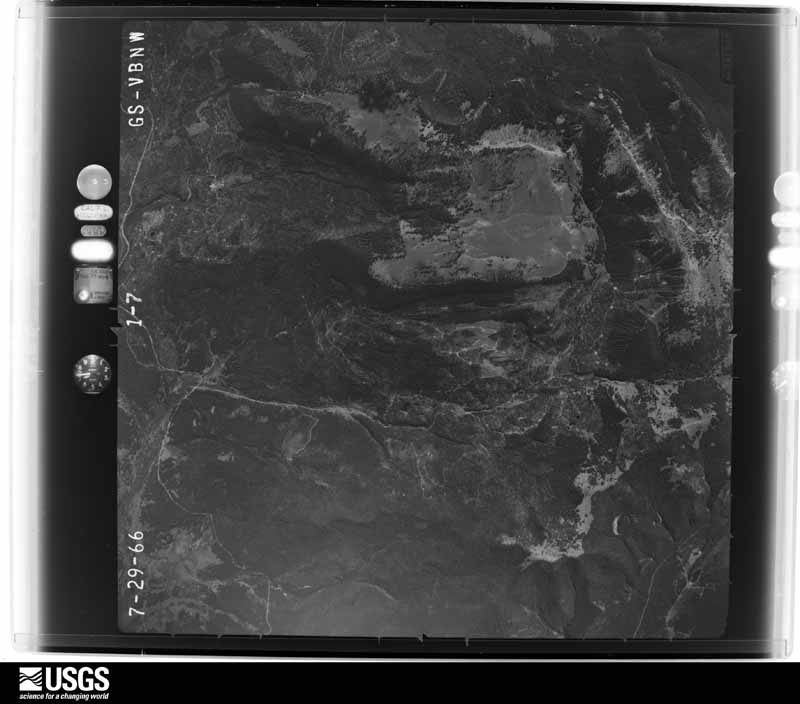
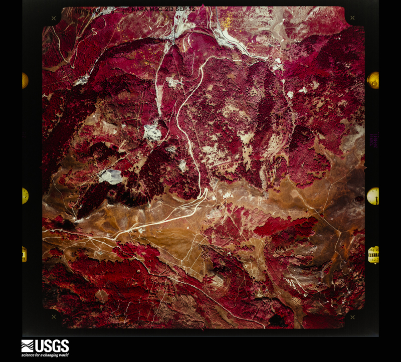
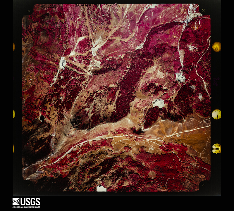
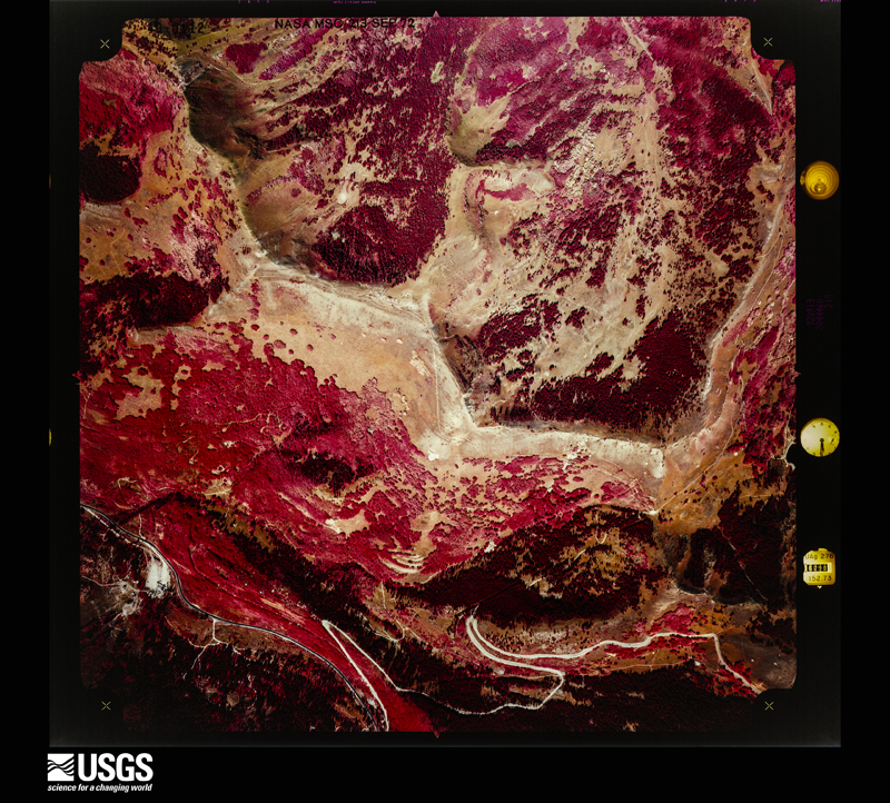
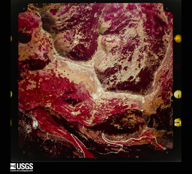
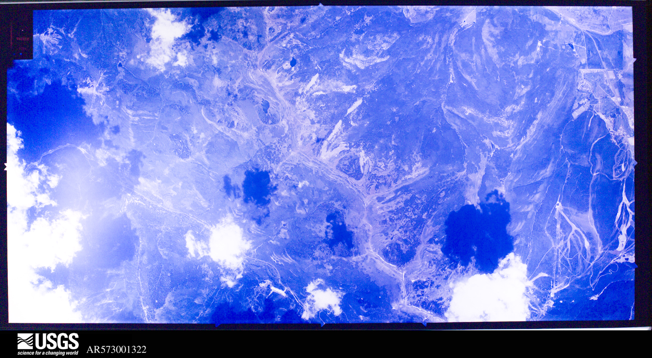
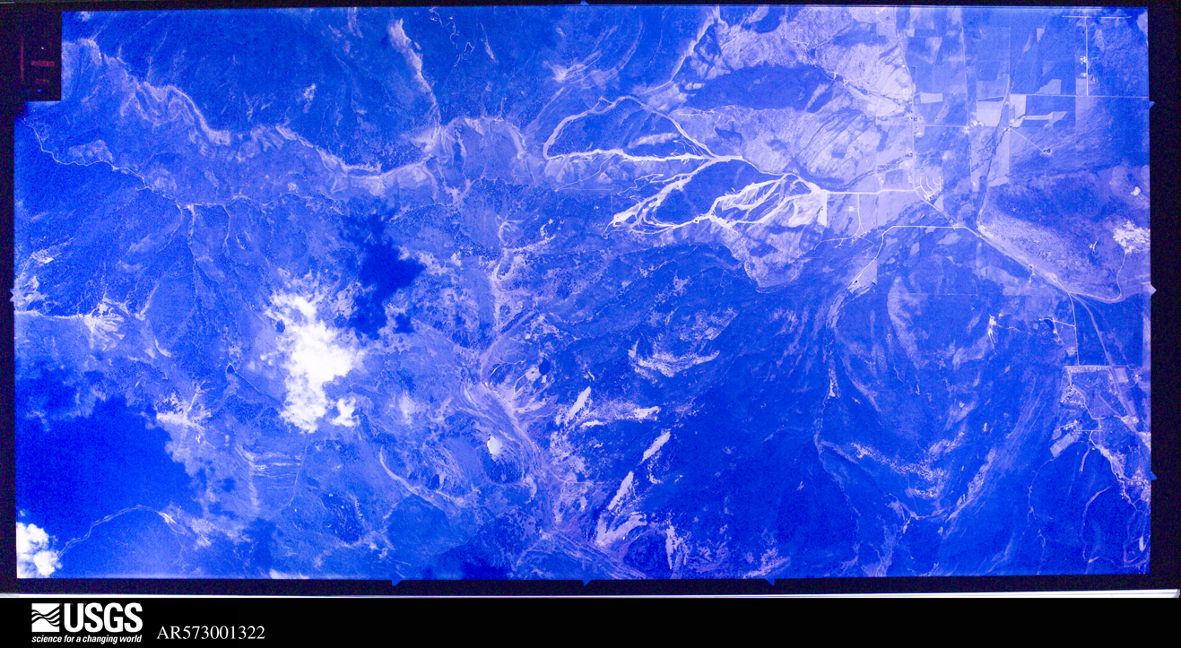
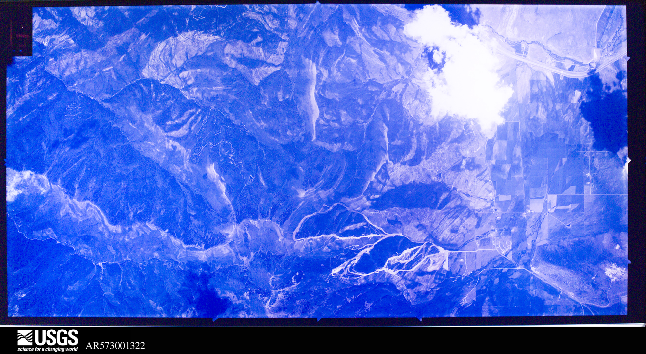
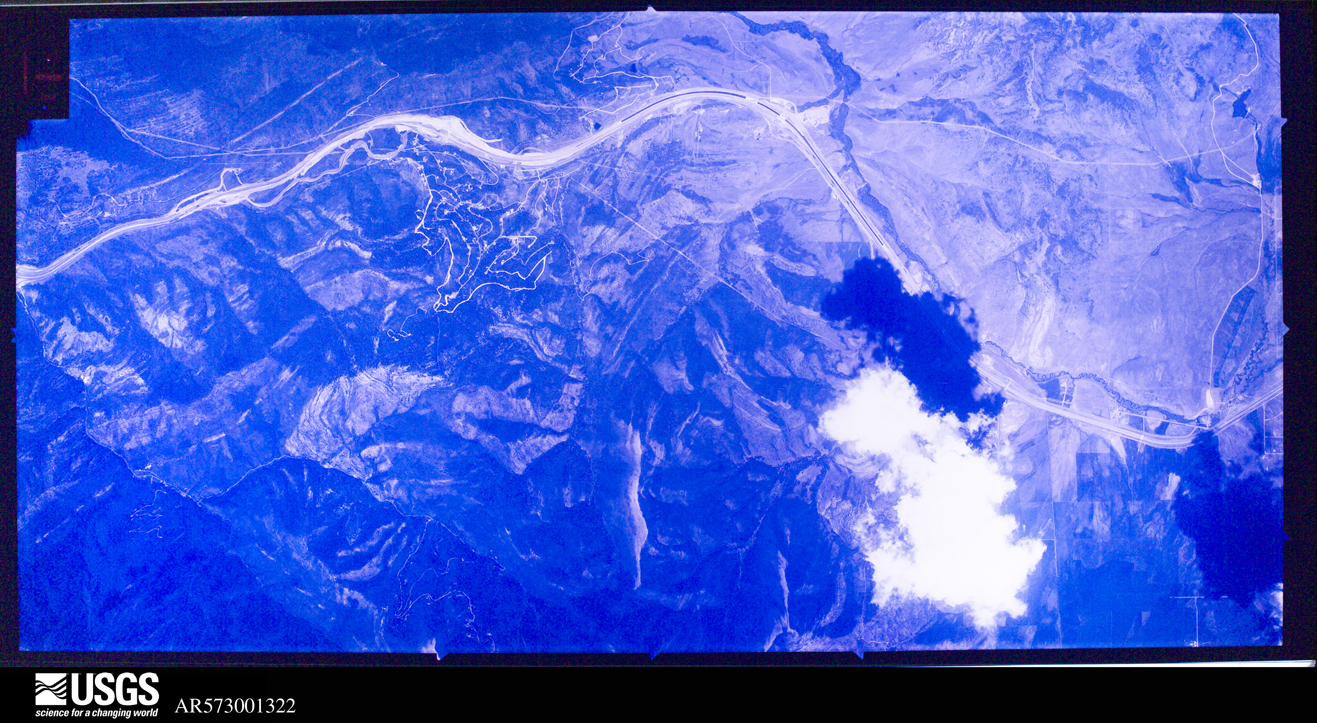
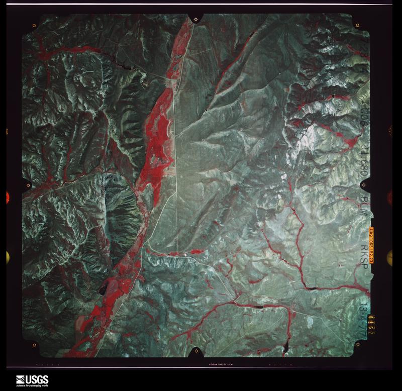
Flown by the U.S. Geological Survey between 1937 and 1989, the Aerial Photo Single Frames collection is the definitive mid-century view of the land: fields, roads and rivers as the camera saw them. The Survey holds 4,873 frames inside the rectangle that bounds this county; the 48 frames below were taken over the county itself, chosen across the decades of flights (at most four a year from that rectangle), so one flight cannot crowd out the rest. The full set is free to browse and download at EarthExplorer under the dataset Aerial Photo Single Frames.
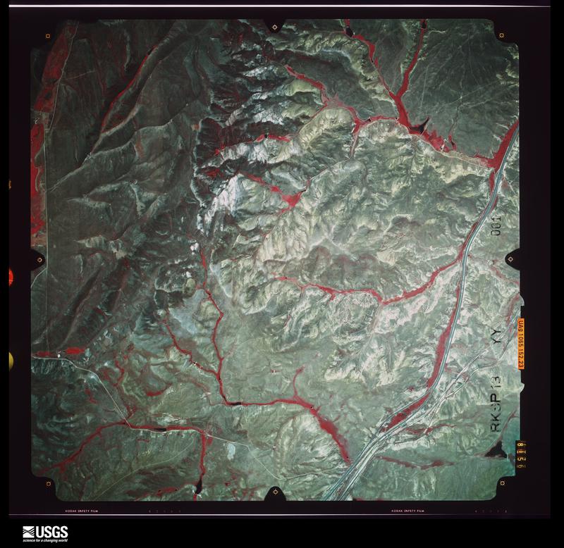
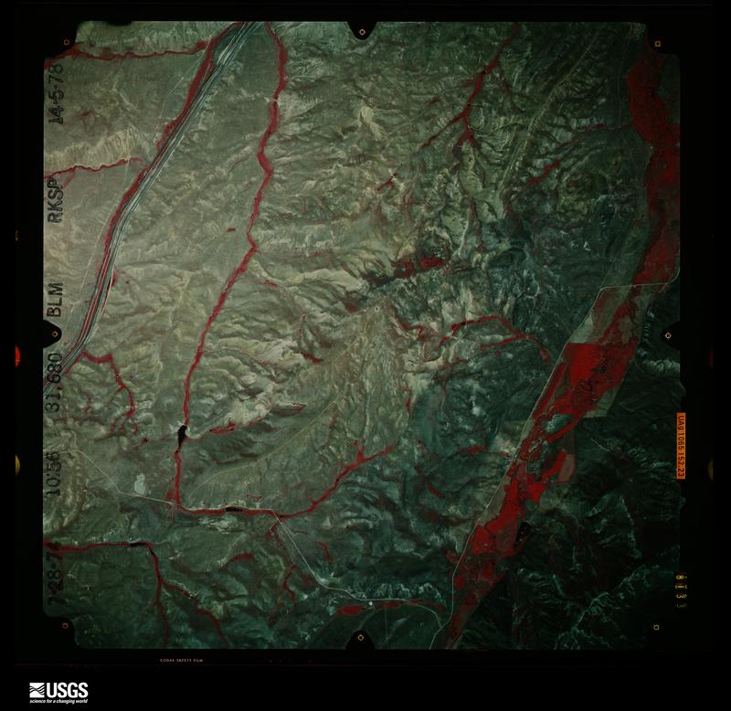
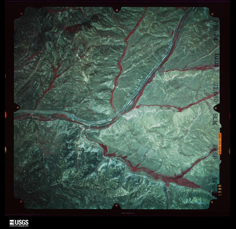
The thermometers that kept this county's weather, and the gages that measured the flow of its streams, as the federal records hold them. The extremes below are measured values from those records, not estimates.
Who lived here in 1950, one enumeration district at a time, as the Census Bureau described each district. Each row opens its official National Archives result, with Population Schedules and ED Maps available there.
Every wildfire the federal occurrence database records inside this county: 1,329 of them, burning about 41,085 acres. 289 started naturally and 18 were recorded as arson. Each settlement page carries the fires within five miles of it.
| Reported cause | Fires |
|---|---|
| Natural | 289 |
| Missing data/not specified/undetermined | 259 |
| Debris and open burning | 251 |
| Recreation and ceremony | 202 |
| Equipment and vehicle use | 168 |
| Railroad operations and maintenance | 48 |
| Fireworks | 31 |
| Power generation/transmission/distribution | 25 |
| Arson/incendiarism | 18 |
| Other causes | 16 |
| Misuse of fire by a minor | 11 |
| Smoking | 11 |
The five largest, by the area the report gives. None of them was recorded as arson.
| Date | Cause | Size | Reported by | Name on the report |
|---|---|---|---|---|
| 28 June 2002 | Recreation and ceremony | 14,208 acres | Uinta-Wasatch-Cache National Forest | EAST FORK |
| 28 July 2016 | Recreation and ceremony | 4,724 acres | Uinta-Wasatch-Cache National Forest | BOX CANYON |
| 24 July 1999 | Missing data/not specified/undetermined | 3,744 acres | Northwest Area | EAGLE CANYON |
| 10 September 1994 | Missing data/not specified/undetermined | 2,400 acres | Utah Division Forestry Fire State Lands | HEINER |
| 15 August 2002 | Equipment and vehicle use | 2,001 acres | Uinta-Wasatch-Cache National Forest | HUFF |
| 13 August 2013 | Natural | 1,920 acres | Salt Lake Field Office | ROCKPORT |
| 17 October 2020 | Missing data/not specified/undetermined | 1,671 acres | Utah Division Forestry Fire State Lands | FIRE CANYON |
| 10 September 1994 | Missing data/not specified/undetermined | 1,350 acres | Utah Division Forestry Fire State Lands | ECHO CREEK |
Every settlement page carries the fires within five miles of it - see the settlement index below.
The NOAA Storm Events Database holds 51 reports for this county, causing 6 deaths, 8 injuries and about $5,296,000 in recorded property damage. Each settlement page carries the reports that name it.
| Kind of event | Reports |
|---|---|
| Thunderstorm Wind | 27 |
| Hail | 12 |
| Flood | 5 |
| Lightning | 4 |
| Heavy Rain | 2 |
| Flash Flood | 1 |
The most serious of them, by death, then injury, then recorded damage. The accounts are quoted exactly as the forecast office filed them.
| When | Event | Place named | Harm | What the report says |
|---|---|---|---|---|
| July 2003 | Lightning | Central Portion | 2 killed, 3 hurt | A mother and father were killed and their 3 children injured after being hit by lightning near Crystal Lake in the Uinta Mountains. The family had taken shelter from the thunderstorm under a tree when the lightning struck the tree. |
| October 2007 | Lightning | Pineview | 1 killed, 2 hurt | A 60-year-old male was struck and killed by lightning while camping near Poison Mountain in the Uinta Mountain range. The man, along with his son and brother, sought shelter in a tent. All three people were injured, but only the one died. |
| August 2003 | Lightning | Central Portion | 1 killed, 2 hurt | A 20-year-old woman was killed and her grandparents injured when they were struck by lightning while hiking to the Deadhorse lake area in the high Uintas. |
| July 2015 | Thunderstorm Wind | Wanship | 1 killed | A 21-year-old male was riding a paddle board on the reservoir at Rockport State Park when a strong wind gust caused by a thunderstorm moved through the area. The victim was separated from his group of friends and drowned in the reservoir. His body was recovered the next day. The strongest wind gusts recorded from nearby sensors included 52 mph at the Interstate 80 at Silver Creek Junction sensor and 45 mph at the Interstate 80 at Wanship sensor. |
| August 1997 | Thunderstorm Wind | Kamas | 1 killed | no account filed |
| July 2012 | Lightning | Pineview | 1 hurt | A hiker was struck by lightning near Amethyst Lake, which is located in the Uinta Mountains. He was transported to a hospital in critical condition, but recovered from the injuries and survived. |
| June 2010 | Flood | Peoa | $5,000,000 | Flooding was reported along the Weber River from Oakley to Hoytsville. The gauge on the Weber River near Oakley exceeded the flood stage of 4.5 feet on June 6th, with flooding continuing into June 10th. The gauge reached a peak of 3179 cfs on the evening of June 8th. ||Damage was reported in the communities of Oakley and Peoa, with water going over the top of some bridges and ending up in homes. Many homes and summer cabins were damaged, especially in basements and yards. Much of the damage occurred to structures at the mouth of the upper Weber River, and in homes along State Route 21 in Oakley. Residents used sandbags in several areas to try to control some of the flooding. Flood waters also ran over a portion of State Route 32, causing the road to close. |
| July 1998 | Heavy Rain | Kimball Jct | $100,000 | no account filed |
| June 2016 | Thunderstorm Wind | Francis | $75,000 | Strong straight-line thunderstorm winds produced significant damage in Samak, Utah, primarily along Samak Park Loop. The winds snapped 10 aspen trees, uprooted a cottonwood tree, lifted and displaced a garage approximately 20 feet, and produced considerable roof damage to multiple other structures. |
| July 2011 | Flood | Peoa | $50,000 | Flooding continued on the Upper Weber River in early July, with the Weber at Oakley gauge peaking at 3390 cfs on July 1st. Much of this flooding up to Rockport Reservoir was mitigated, but once the Rockport Reservoir was filled, it increased the challenge for people trying to manage the flood threat downstream. At the Camper World downstream in Coalville, many of the 158 RV pads in the park were covered with water, as water flowed from canals in adjoining fields and through broken areas of a berm around the park. The park was evacuated except for employees. Other areas downstream of Rockport Reservoir also experienced minor flooding. Note that this event began in June. |
| February 2014 | Flood | Coalville | $40,000 | Much of the precipitation remained as rain in Coalville, and two straight days of rain proved to be too much for one of the open culverts in the town. When that drainage system failed to handle the volume of water, four homes were flooded along 150 South in Coalville, with two of those homes experiencing extensive flooding. One of the significantly damaged homes was flooded with a couple feet of water, and the other had 6 inches of water. |
| June 2011 | Flood | Peoa | $20,000 | Flooding occurred on the Upper Weber River in late June due to the accelerated snowmelt, with the Weber at Oakley gauge peaking at 3133 cfs on June 30th. Much of this flooding was mitigated, but the high water did impact some buildings close to the river. Note that this event continued into July. |
| August 2015 | Thunderstorm Wind | Henefer | $10,000 | Several large trees were knocked down by thunderstorm winds near Henefer. |
| August 2022 | Flash Flood | Upton | $1,000 | A Summit County official reported a foot of water and some gravel spilled out onto Chalk Creek Road. |
| August 2024 | Thunderstorm Wind | Hoytsville | - | A wind gust of 59 mph was recorded at the Wanship mesonet site. |
| August 2024 | Thunderstorm Wind | Pineview | - | A wind gust of 64 mph was recorded at the Windy Peak mesonet site. |
| August 2024 | Thunderstorm Wind | Kimball Jct | - | A wind gust of 59 mph was recorded at the I-80 @ Silver Ck Jct mesonet site. |
| September 2024 | Thunderstorm Wind | Upton | - | The Clarks Canyon mesonet station recorded a wind gust of 60 mph as a result of outflow winds associated with a nearby cluster of showers and thunderstorms moving through the area. |
| September 2023 | Thunderstorm Wind | Kimball Jct | - | The I-80 @ Silver Ck Jct mesonet station recorded a wind gust of 60 mph as a result of outflow winds associated with a nearby cluster of showers moving through the area. |
| July 2023 | Thunderstorm Wind | Keetley Jct | - | The Brown's Canyon mesonet station recorded a wind gust of 58 mph as a result of outflow winds associated with a line of showers and thunderstorms moving through the area. |
| July 2023 | Thunderstorm Wind | Kimball Jct | - | The I-80 at Silver Ck Jct mesonet station recorded a wind gust of 66 mph as a result of outflow winds associated with a line of showers and thunderstorms moving through the area. |
| July 2022 | Thunderstorm Wind | Park City | - | The PacifiCorp Aerie mesonet station near Park City measured an initial wind gust of 60 mph at 3:00 pm MST, followed by a peak wind gust of 65 mph at 3:10 pm MST, as a result of strong outflow from nearby convection. |
| June 2022 | Thunderstorm Wind | Pineview | - | A thunderstorm and associated outflow resulted in a wind gust of 62 mph being measured by the Lofty Lake Peak mesonet station. |
| May 2021 | Hail | Park City | - | Penny-sized hail fell in Park City. |
| July 2021 | Heavy Rain | Kimball Jct | - | Summit Park received 0.60 inches of rain in 10 minutes. |
| June 2020 | Thunderstorm Wind | Pineview | - | The Windy Peak Avalanche sensor recorded a peak wind gust of 63 mph. |
| June 2019 | Thunderstorm Wind | Pineview | - | The Lofty Peak sensor recorded a peak gust of 60 mph. |
| June 2019 | Thunderstorm Wind | Pineview | - | The Windy Peak sensor recorded a peak gust of 63 mph. |
| July 2017 | Thunderstorm Wind | Kimball Jct | - | The UDOT sensor at Kimball Junction and I-80 recorded a maximum wind gust of 59 mph. |
| August 2016 | Hail | Kamas | - | Quarter-sized hail was reported in Kamas. |
| July 2015 | Hail | Pineview | - | Nickel-size hail was reported near Meeks Cabin Reservoir, along the Utah/Wyoming border. |
| June 2014 | Thunderstorm Wind | Kimball Jct | - | The Interstate 80 at Silver Creek Junction sensor recorded a peak wind gust of 73 mph. |
| June 2014 | Thunderstorm Wind | Kimball Jct | - | The I-80 at Silver Creek Junction sensor recorded a peak wind gust of 65 mph. |
| April 2011 | Flood | Coalville | - | Chalk Creek near Coalville rose as high as 1496 cfs, up from a mere 60 cfs from three days prior, and above the flood stage of 1341 cfs. These flood waters approached homes upstream from Coalville, and threatened bridges along the creek, including water flowing over the bridge at Border Station Road. |
| August 2010 | Thunderstorm Wind | Castle Rock | - | A 59 mph wind gust was measured at the Wasatch Hills sensor. |
| August 2009 | Thunderstorm Wind | Castle Rock | - | The Wasatch Hills sensor recorded a maximum wind gust of 60 mph. |
| August 2009 | Thunderstorm Wind | Park City | - | The Mount Baldy sensor at Deer Valley recorded a wind gust of 59 mph. |
| September 2007 | Hail | Henefer | - | One inch diameter hail was reported by a television station in Henefer; the time provided was estimated. |
| September 2007 | Hail | Coalville | - | Hail with 0.75 inch diameter was reported in Coalville; the time was estimated from television reports. |
| July 2007 | Hail | Marion | - | One inch hail was reported 10 miles east of Park City. |
| August 2006 | Hail | Oakley | - | NIckle with some quarter size stones |
| June 2005 | Thunderstorm Wind | Kamas | - | Powerlines and poles blown down by wind |
| July 2005 | Thunderstorm Wind | Park City | - | Dry Microburst |
| July 1995 | Thunderstorm Wind | Coalville | - | Thunderstorm outflow produced a measured gust at 66 mph. |
| May 1998 | Hail | Coalville | - | no account filed |
| June 1996 | Hail | Coalville | - | no account filed |
| September 1990 | Hail | not stated | - | no account filed |
| July 1987 | Hail | not stated | - | no account filed |
| July 1987 | Hail | not stated | - | no account filed |
| July 1985 | Thunderstorm Wind | not stated | - | no account filed |
| August 1973 | Thunderstorm Wind | not stated | - | no account filed |
The Survey's mineral resources record lists 240 workings inside this county. 35 still produce and 205 are closed or unrecorded. Each settlement page carries the workings within five miles of it.
| Commodity | Workings |
|---|---|
| Sand and Gravel, Construction | 58 |
| Stone, Dimension | 23 |
| Gold, Copper | 20 |
| Lead, Silver | 19 |
| Silver, Lead, Zinc | 18 |
| Gold | 18 |
| Copper | 15 |
| Stone, Crushed/Broken | 10 |
| Silver | 10 |
| Phosphorus-Phosphates | 9 |
| Lead | 8 |
| Copper, Gold | 7 |
| Silver, Lead | 7 |
| Lead, Zinc, Silver | 6 |
The least common of them first, because a county's hundredth gravel pit says nothing its first ten did not.
| Where | Site | Commodity | Status | Recorded |
|---|---|---|---|---|
| American Flag Shaft | Silver, Lead, Gold, Copper, Manganese, Iron | Past Producer | Galena, Tetrahedrite | |
| American Flag Shaft | Gold, Silver, Manganese, Lead, Copper, Iron | Past Producer | ||
| American Flag Shaft No. 2 | Silver, Lead, Gold, Iron, Manganese, Copper | Past Producer | Galena, Tetrahedrite | |
| Anchor Tunnel Protal | Gold, Copper, Silver, Zinc, Lead | Past Producer | ||
| Balmount Atlanta Tunnel | Silver, Zinc, Lead, Gold, Copper | Past Producer | 1875 | |
| Balmount Shaft | Zinc, Lead, Silver, Gold, Copper | Past Producer | 1907, 1925, 1952 | |
| Big K | Uranium | Occurrence | ||
| California Mine | Lead, Zinc, Silver, Copper, Antimony, Sulfur | Past Producer | ||
| Chuck Nos. 1 - 6 , 8 - 15 | Gold, Silver, Iron, Manganese | Occurrence | Jasper | |
| Comstock Mine | Lead, Copper, Iron, Zinc, Silver | Past Producer | ||
| Constellation Shaft | Gold, Zinc, Lead, Copper, Silver | Past Producer | ||
| Daly Mine | Lead, Zinc, Silver, Copper, Gold | Past Producer | Cerargyrite, Galena | |
| Daly Shaft No. 1 | Silver, Lead, Gold, Zinc, Copper | Past Producer | 1885, 1886, 1955 | |
| Daly Shaft No. 2 | Silver, Lead, Zinc, Gold, Copper | Past Producer | 1885, 1886, 1955 | |
| Daly Shafts No 1 and 2 | Lead, Copper, Silver, Zinc | Past Producer | ||
| Daly West | Lead, Zinc, Gold, Silver | Producer | Galena, Sphalerite, Tetrahedrite | |
| Daly West Mine | Gold, Copper, Zinc, Silver, Lead | Past Producer | 1891, 1899 | |
| Exploration Investment Quarry | Gemstone | Past Producer | Surface | |
| Garey Shaft and Prospects | Silver, Gold, Lead, Copper, Zinc | Past Producer | ||
| Gold Bullion Nos. 1 - 5 | Manganese, Gold, Silver, Iron | Occurrence | Jasper | |
| Hanauer Tunnel | Lead, Silver, Gold, Copper, Zinc | Past Producer | 1869 | |
| Kearns-Keith Mine | Zinc, Lead, Gold, Silver, Copper | Past Producer | Chalcopyrite, Galena | |
| Keystone Mine | Lead, Zinc, Silver, Copper, Gold | Producer | Vein | |
| Little Bell Shaft | Silver, Zinc, Manganese, Lead, Copper | Past Producer | ||
| Lucky Strike Nos. 1 - 4 , 6 | Iron, Silver, Gold, Manganese | Occurrence | Jasper | |
| Nail Driver Shaft | Lead, Zinc, Silver, Manganese, Iron | Past Producer | ||
| New York Shaft | Lead, Gold, Copper, Silver | Past Producer | ||
| Ontario Mine | Lead, Zinc, Silver, Cadmium, Antimony, Copper | Producer | 1868, 1895 | |
| Ontario No 2 Shaft | Silver, Zinc, Lead, Copper, Gold, Antimony, Stone, Crushed/Broken | Producer | ||
| Ontario No 3 Shaft | Silver, Gold, Zinc, Lead, Copper, Antimony, Stone, Crushed/Broken | Past Producer | ||
| Quincy Shaft | Copper, Zinc, Silver, Manganese, Lead | Past Producer | ||
| Round Valley South Prospect | Manganese, Iron | Occurrence | Hematite, Limonite, Pyrolusite | |
| Scrip Shaft | Gold, Silver, Lead | Occurrence | Vein | |
| Silver King | Gold, Silver, Lead, Copper, Zinc | Occurrence | ||
| Silver King Consolidated Mine | Lead, Silver, Copper, Tungsten | Past Producer | 1893 | |
| Silver King Extension Mine | Gold, Lead, Silver, Zinc, Copper | Past Producer | ||
| Silver King Mine | Silver, Lead, Zinc, Gold, Copper, Iron, Manganese | Past Producer | 1889, 1893 | |
| Silver King Mine | Fluorine-Fluorite, Lead, Silver | Past Producer | 1889 | |
| Silver King Mine | Copper, Gold, Lead, Silver, Zinc | Past Producer | 1889, 1892 | |
| Sulphur Prospect | Sulfur | Occurrence | Sulfur | |
| Unknown Shaft | Silver, Lead, Zinc, Copper, Gold, Iron | Producer | 1872, 1875 | |
| Utah Silver Nos. 1 , 2 , 5 , 7 , 8 , 23 , 24 | Silver, Gold, Iron, Manganese | Occurrence | ||
| Wabash Property | Silver, Copper, Lead | Past Producer | ||
| Wabash Shaft | Copper, Iron, Lead, Manganese, Silver | Producer | ||
| Western Monitor Shaft | Gold, Copper, Lead, Zinc, Silver | Past Producer | ||
| Woodside Mine | Lead, Silver, Copper, Fluorine-Fluorite, Gold | Past Producer | 1873 | |
| Woodside Mine | Lead, Copper, Iron, Silver | Past Producer | ||
| Alliance Tunnel | Silver, Lead, Copper, Zinc, Gold | Past Producer | 1889, 1893 | |
| Anchor Shaft | Silver, Zinc, Lead, Gold, Copper | Past Producer | ||
| Crescent Mine | Lead, Silver, Gold, Zinc, Copper | Past Producer | 1869, 1882, 1893 | |
| Daly-Judge Mine | Zinc, Silver, Lead, Gold, Copper, Iron | Past Producer | 1877, 1890, 1955 | |
| Kearns-Keith Mine | Lead, Silver, Gold, Zinc, Copper | Past Producer | 1869, 1903 | |
| Keystone Mine | Lead, Copper | Past Producer | Replacement | |
| Little Bell Mine | Lead, Copper | Occurrence | Anglesite, Chrysocolla, Cuprite, Galena | |
| Little Bell Shaft | Silver, Lead, Copper, Zinc, Gold | Past Producer | 1880, 1906 | |
| Ontario Mine | Zinc, Lead, Silver | Producer | 1872, 1873 | |
| Ontario No 1 Drain Tunnel Portal | Silver, Zinc, Lead, Gold, Copper | Past Producer | ||
| Unknown Shaft | Silver, Lead, Zinc, Gold, Copper, Iron | Producer | 1872, 1875 | |
| Unknown Tunnels and Prospects | Lead, Silver, Gold, Zinc, Copper | Past Producer | ||
| Utah Silver Group | Lead, Silver, Gold | Producer | ||
| Chuck No. 1 Thru 15 | Gold, Silver | Producer | ||
| Daly West Mine | Lead, Silver, Copper, Zinc, Gold | Past Producer | 1885, 1891, 1965 | |
| Dority Spring Prospects | Iron, Manganese | Occurrence | Pyrolusite | |
| Dority Spring Prospects | Iron, Manganese | Past Producer | ||
| Gold Bullion No. 1 Thru 5 | Gold, Silver | Producer | ||
| Lucky Strike Nos. 1 Thru 6. | Gold, Silver | Producer | ||
| Mazepah Shaft | Lead, Silver, Copper, Zinc, Gold | Past Producer | 1885, 1886 | |
| Quincy Shaft | Silver, Lead, Copper, Zinc, Gold | Past Producer | 1880, 1901, 1965 | |
| Round Valley South Prospect | Iron, Manganese | Past Producer | ||
| Silver King Coalition Group Prospects | Zinc, Silver, Lead, Gold, Copper | Past Producer | VEIN AND REPLACEMENT | |
| Silver King Extension Mine and Prospects | Zinc, Silver, Lead, Gold, Copper | Past Producer | ||
| Spiro Tunnel | Gold, Copper, Lead, Silver, Zinc | Past Producer | ||
| Three Kings Shaft | Gold, Copper, Lead, Silver, Zinc | Past Producer | ||
| Walker and Webster Mine | Gold, Copper, Lead, Silver, Zinc | Past Producer | ||
| Anderton Clay Pits | Clay | Producer | 1913 | |
| Anderton Mine | Clay | Producer | ||
| Beaver Creek Lead Zinc Mine | Lead, Zinc | Occurrence | Galena, Pyrite | |
| Comstock Mine | Lead, Zinc, Copper | Past Producer | Anglesite, Galena, Malachite, Sphalerite | |
| Keetley Unit | Lead, Zinc | Producer | Galena, Sphalerite | |
| Summit Extension | Copper, Gold, Iron | Producer | 1875 | |
| Wanship Dam Clay Locality | Clay | Occurrence | ||
| Wanship Dam Clay Locality | Clay | Past Producer | ||
| Apex Mine | Lead, Silver, Zinc, Copper, Gold | Past Producer | 1883, 1892 | |
| California Mine | Lead, Silver, Zinc, Copper | Past Producer | Jamesonite, Sphalerite | |
| Clegg Adit | Silver, Gold, Lead | Occurrence | Vein | |
| Columbia Raise | Lead, Silver, Zinc, Copper, Gold | Past Producer | 1875 | |
| Comstock Mine | Lead, Silver, Zinc, Copper, Gold | Past Producer | 1882, 1885, 1925 | |
| Emily Prospect | Silver, Gold, Lead | Occurrence | Vein | |
| Lucky Bill Shaft | Lead, Silver, Zinc, Copper, Gold | Past Producer | 1875, 1885, 1895 | |
| Naildriver Mine | Lead, Silver, Zinc, Copper | Past Producer | Vein | |
| Naildriver Mine | Silver, Lead, Zinc, Copper | Past Producer | Anglesite, Galena, Malachite | |
| Quarry Near Woodland Cemetery | Stone | Past Producer | ||
| Queen Ester Tunnel | Silver, Gold, Lead, Zinc, Copper | Past Producer | ||
| Round Valley Ne Quarries | Stone, Dimension, Stone | Producer | ||
| Surprise Group | Silver, Gold, Lead | Occurrence | Vein | |
| Thaynes Shaft | Lead, Silver, Zinc, Copper, Gold | Past Producer | 1875 | |
| The Narrows Quarry | Stone | Past Producer | ||
| Unknown Prospects | Stone | Past Producer | ||
| Unknown Quarries | Stone | Past Producer | ||
| Anchor Tunnel Portal | Lead, Zinc, Silver, Copper, Gold | Past Producer | Anglesite, Galena, Malachite, Pyrite, Sphalerite, Tetrahedrite | |
| Apex Mine | Gold, Zinc, Silver, Lead, Copper | Past Producer | ||
| California Mine Main Tunnel | Lead, Silver, Zinc, Copper | Past Producer | 1881, 1885, 1925 | |
| California Mine Shop Tunnel | Lead, Silver, Zinc, Copper | Past Producer | 1881, 1885, 1925 | |
| Constellation Shaft and Prospects | Lead, Silver, Zinc, Gold, Copper | Past Producer | ||
| Crescent Tunnel | Gold, Zinc, Silver, Lead, Copper | Past Producer | ||
| Judge Tunnel | Gold, Zinc, Silver, Lead, Copper | Occurrence | ||
| Keystone Shaft | Lead, Silver, Zinc, Gold, Copper | Past Producer | 1875, 1923, 1926 | |
| Keystone Tunnels | Lead, Silver, Zinc, Gold, Copper | Past Producer | 1875, 1923, 1926 | |
| Lucky Bill Shaft | Gold, Zinc, Silver, Lead, Copper | Past Producer | ||
| Nail Driver Mine | Lead, Zinc, Silver | Producer | Vein | |
| New Quincy | Lead, Zinc, Silver | Producer | Galena, Sphalerite, Tetrahedrite | |
| Ontario No. 1 Drain Tunnel Portal | Lead, Zinc, Silver, Gold, Copper | Producer | ||
| Park City Consolidated Mine | Gold, Zinc, Silver, Lead, Copper | Past Producer | ||
| Queen Ester Shaft | Gold, Zinc, Silver, Lead, Copper | Past Producer | ||
| Spiro Tunnel | Lead, Silver, Zinc, Gold, Copper | Past Producer | 1889 | |
| Western Monitor Tunnel | Lead, Zinc, Silver, Gold, Copper | Occurrence | Vein | |
| Creole Tunnel | Silver, Lead | Past Producer | 1880 | |
| Daly West & Daly Judge Area | Silver, Lead, Zinc, Copper, Gold | Past Producer | Replacement | |
| Iron Canyon Shaft | Silver, Lead, Zinc, Copper, Gold | Occurrence | ||
| New York Mine | Lead, Silver, Copper, Gold | Past Producer | Galena | |
| New York Mine | Lead, Silver, Copper, Gold | Past Producer | Galena, Tetrahedrite | |
| Ontario Mine | Silver, Lead, Zinc, Copper, Gold | Past Producer | 1872, 1873 | |
| Wabash Property | Silver, Lead, Copper | Occurrence | Vein | |
| West Ontario Shaft | Silver, Lead | Occurrence | 1885 | |
| Creole Tunnel | Lead, Silver | Past Producer | ||
| Jupiter Mine | Lead, Copper | Past Producer | ||
| Elizabeth Mt. Section, Park City Formation | Phosphorus-Phosphates | Occurrence | CHEMICAL SEDIMENT | |
| Hidden Lake Phosphate Deposit | Phosphorus-Phosphates | Occurrence | CHEMICAL SEDIMENT | |
| Hidden Lake Phosphate Deposits | Phosphorus-Phosphates | Past Producer | ||
| Red Knob Section of Park City Fm. | Phosphorus-Phosphates | Occurrence | Collophane | |
| Slader Basin Quad Phosphate | Phosphorus-Phosphates | Past Producer | ||
| Slader Basin Quad. Phosphate | Phosphorus-Phosphates | Occurrence | CHEMICAL SEDIMENT | |
| South Fork Weber River Section | Phosphorus-Phosphates | Occurrence | ||
| South Fork Weber River Section | Phosphorus-Phosphates | Past Producer | ||
| Weber River Section, Park City Formation | Phosphorus-Phosphates | Occurrence | CHEMICAL SEDIMENTARY | |
| Park City Cemetery Prospects | Stone, Crushed/Broken | Past Producer | ||
| Round Valley Ne Quarries | Stone, Crushed/Broken, Stone, Dimension | Producer | ||
| Shale Pit In Sec. 1 | Stone, Crushed/Broken | Past Producer | Surface | |
| Shale Pit In Sec. 6 | Stone, Crushed/Broken | Past Producer | Surface | |
| The Narrows | Stone, Crushed/Broken | Past Producer | Unconsolidated Sediments | |
| Ut Dept of Hwys Gravel Pit 22072 | Stone, Crushed/Broken | Past Producer | Surface | |
| Utelite Clay Pit and Plant | Stone, Crushed/Broken | Producer | Sedimentary | |
| Utelite Clay Pit and Plant | Stone, Crushed/Broken | Producer | ||
| Willow Park Quarry | Stone, Crushed/Broken | Past Producer | Unconsolidated Sediments | |
| Woodland Quarry | Stone, Crushed/Broken | Past Producer | Quartzite, Sandstone | |
| Jupiter Mine | Lead, Silver, Copper | Past Producer | 1877, 1882, 1975 | |
| Jupiter Mine | Lead, Silver, Copper | Past Producer | ||
| Crescent Tunnel | Silver, Lead, Zinc, Gold, Copper | Past Producer | 1889 | |
| John O. Donovan Claim | Silver, Lead, Zinc | Occurrence | Vein | |
| Judge Tunnel | Silver, Lead, Zinc, Gold, Copper | Past Producer | ||
| Monarch Claim | Silver, Lead, Zinc, Gold, Copper | Occurrence | ||
| Park City Consolidated Mine | Silver, Lead, Zinc, Gold, Copper | Past Producer | ||
| Queen Ester Shaft and Prospects | Silver, Lead, Zinc, Gold, Copper | Past Producer | ||
| Silver Creek Prospect | Silver, Lead, Zinc, Gold, Copper | Occurrence | Vein | |
| Summit Extension Property | Gold | Occurrence | Gold | |
| Three Kings Shaft | Silver, Lead, Zinc, Gold, Copper | Past Producer | 1889, 1893 | |
| Unknown Tunnel | Silver, Lead, Zinc, Gold, Copper | Occurrence | ||
| Velvet Group | Silver, Lead, Zinc, Gold, Copper | Occurrence | ||
| Western Moniter Prospects | Silver, Lead, Zinc, Gold, Copper | Occurrence | Vein | |
| Western Monitor Shaft | Silver, Lead, Zinc, Gold, Copper | Occurrence | ||
| White Pine Mine | Lead, Silver | Past Producer | 1877, 1881 | |
| Brown's Canyon Quarries | Stone, Dimension | Past Producer | ||
| Browns Canyon Quarries | Stone, Dimension | Past Producer | ||
| Kimball Creek Quarries | Stone, Dimension | Past Producer | ||
| Kimball Creek Quarries | Stone, Dimension | Past Producer | ||
| Mountain Meadows Quarries | Stone, Dimension | Past Producer | ||
| Mountain Meadows Quarries | Stone, Dimension | Past Producer | ||
| North Iron Mt. Quarries | Stone, Dimension | Past Producer | Quartz | |
| North Snyderville Quarry No. 1 | Stone, Dimension | Past Producer | Quartz | |
| North Snyderville Quarry No. 2 | Stone, Dimension | Past Producer | ||
| Quarry Mt East Quarries | Stone, Dimension | Past Producer | ||
| Quarry Mt. East Quarries | Stone, Dimension | Past Producer | ||
| Quarry Mtn West Quarries | Stone, Dimension | Past Producer | ||
| Quarry Mtn. West Quarries | Stone, Dimension | Past Producer | ||
| Round Valley Nw Quarries | Stone, Dimension | Past Producer | ||
| Round Valley Nw Quarries | Stone, Dimension | Past Producer | ||
| Shale Pit In Sec 1 | Stone, Dimension | Past Producer | ||
| Shale Pit In Sec 6 | Stone, Dimension | Past Producer | ||
| Unknown Prospects | Stone, Dimension | Occurrence | ||
| Unknown Quarries | Stone, Dimension | Past Producer | Surface | |
| Ut Dept of Hwys Gravel Pit 22072 | Stone, Dimension | Past Producer | ||
| Willow Park Quarry | Stone, Dimension | Past Producer | ||
| Bald Range Gravel Pit | Sand and Gravel, Construction | Past Producer | Unconsolidated Sediments | |
| Bald Range Gravel Pit | Sand and Gravel, Construction | Past Producer | ||
| Elizabeth Pass Gravel Pit | Sand and Gravel, Construction | Producer | Surface | |
| Gravel Pit In Sec 20 | Sand and Gravel, Construction | Past Producer | ||
| Gravel Pit In Sec. 20 | Sand and Gravel, Construction | Past Producer | Unconsolidated Sediments | |
| Gravel Pit In Twn 2s Rng 3e Sec 13 | Sand and Gravel, Construction | Past Producer | ||
| Guard Station Gravel Pit | Sand and Gravel, Construction | Past Producer | Unconsolidated Sediments | |
| Guard Station Gravel Pit | Sand and Gravel, Construction | Past Producer | ||
| Highway Dept Pit No 15042 | Sand and Gravel, Construction | Past Producer | ||
| Hovarka Pit | Sand and Gravel, Construction | Producer | Unconsolidated Sediments | |
| Hovarka Pit | Sand and Gravel, Construction | Producer | ||
| Iron Canyon Prospect | Sand and Gravel, Construction | Occurrence | ||
| Kimball Junction Pit | Sand and Gravel, Construction | Past Producer | Surface | |
| Lone Mountain | Sand and Gravel, Construction | Past Producer | Unconsolidated Sediments | |
| Lone Mountain Pit | Sand and Gravel, Construction | Past Producer | ||
| Marion Cemetery Borrow Pit | Sand and Gravel, Construction | Past Producer | Unconsolidated Sediments | |
| Marion Cemetery Borrow Pit | Sand and Gravel, Construction | Past Producer | ||
| Pine Cliff Camp Gravel Pit | Sand and Gravel, Construction | Producer | Surface | |
| Pine Cliff Camp Gravel Pit | Sand and Gravel, Construction | Producer | ||
| South Echo Utah Gravel Pit | Sand and Gravel, Construction | Past Producer | Unconsolidated Sediments | |
| South Echo Utah Gravel Pit | Sand and Gravel, Construction | Past Producer | ||
| South Francis Gravel Pit. | Sand and Gravel, Construction | Producer | Unconsolidated Sediments | |
| Stillwater | Sand and Gravel, Construction | Past Producer | Unconsolidated Sediments | |
| Stillwater Pit | Sand and Gravel, Construction | Past Producer | ||
| Ut Dep of Hwys Pit No 22033 | Sand and Gravel, Construction | Past Producer | ||
| Ut Dept Hwys Gravel Pit 22060 | Sand and Gravel, Construction | Past Producer | ||
| Ut Dept of Highways No 22036 | Sand and Gravel, Construction | Past Producer | ||
| Ut Dept of Highways No 22058 | Sand and Gravel, Construction | Past Producer | ||
| Ut Dept of Highways Pit No. 22070 | Sand and Gravel, Construction | Past Producer | Unconsolidated Sediments | |
| Ut Dept of Hwys No 22006 | Sand and Gravel, Construction | Producer | ||
| Ut Dept of Hwys No 22039 | Sand and Gravel, Construction | Past Producer | ||
| Ut Dept of Hwys Pit No 22007 | Sand and Gravel, Construction | Past Producer | ||
| Ut Dept of Hwys Pit No 22071 | Sand and Gravel, Construction | Past Producer | Unconsolidated Sediments | |
| Ut Dept of Hwys Pit No 22071 | Sand and Gravel, Construction | Past Producer | ||
| Ut State Dept Hwys Gravel Pit 22013 | Sand and Gravel, Construction | Past Producer | ||
| Ut State Dept Hwys Gravel Pit 22016 | Sand and Gravel, Construction | Producer | ||
| Ut State Dept Hwys Gravel Pit 22055 | Sand and Gravel, Construction | Past Producer | ||
| Ut. Dep. of Hwys Pit No 22007 | Sand and Gravel, Construction | Past Producer | Unconsolidated Sediments | |
| Ut. Dep. of Hwys. No 22039 | Sand and Gravel, Construction | Past Producer | Unconsolidated Sediments | |
| Ut. Dep. of Hwys. No. 22006 | Sand and Gravel, Construction | Producer | 1977 | |
| Ut. Dep. of Hwys. Pit No. 22033 | Sand and Gravel, Construction | Past Producer | Surface | |
| Ut. Dept of Hwy Gravel Pit 22060 | Sand and Gravel, Construction | Past Producer | Unconsolidated Sediments | |
| Ut. Dept of Hwys Pit #15041 | Sand and Gravel, Construction | Past Producer | Unconsolidated Sediments | |
| Ut. Dept of Hwys Pit No 22008 | Sand and Gravel, Construction | Past Producer | Surface | |
| Ut. Dept of Hwys Pit No 22055 | Sand and Gravel, Construction | Past Producer | Unconsolidated Sediments | |
| Ut. Dept. of Hwys Pit 22062 | Sand and Gravel, Construction | Past Producer | Unconsolidated Sediments | |
| Ut. Dept. of Hwys Pit No 22013 | Sand and Gravel, Construction | Past Producer | Unconsolidated Sediments | |
| Ut. Dept. of Hwys Pit No 22015 | Sand and Gravel, Construction | Producer | Unconsolidated Sediments | |
| Ut. Dept. of Hwys Pit No 22016 | Sand and Gravel, Construction | Producer | Unconsolidated Sediments | |
| Ut. Dept. of Hwys, Pit No. 15042 | Sand and Gravel, Construction | Past Producer | Surface | |
| Utah Dept of Highways Pit 22062 | Sand and Gravel, Construction | Past Producer | ||
| Utah Dept of Highways Pit No 22057 | Sand and Gravel, Construction | Producer | ||
| Utah Dept. of Highways Gravel Pit No. 22011 | Sand and Gravel, Construction | Past Producer | Unconsolidated Sediments | |
| Utah Dept. of Highways Pit No. 22036 | Sand and Gravel, Construction | Past Producer | Unconsolidated Sediments | |
| Utah Dept. of Highways Pit No. 22057 | Sand and Gravel, Construction | Past Producer | Unconsolidated Sediments | |
| Utah Highway Dept 22003 | Sand and Gravel, Construction | Past Producer | ||
| Utah Highway Dept. 22003 | Sand and Gravel, Construction | Past Producer | Surface | |
| Utah Highway Pit No 22008 | Sand and Gravel, Construction | Past Producer |
Named settlements recorded in the Geographic Names Information System, each with the topographic sheets covering it. Villages, hamlets and abandoned places alike. Each is shown with the nearest named watercourse or landform and the survey quadrangle it falls on. The 2 places that were also surveyed for fire insurance come first, with the number of atlases and photographs held for them.
Coalville census division · 84017 · On Chalk Creek · Coalville quadrangle
22 sheets, 1885 to 1997
Fire insurance: 2 atlases
Park City census division · 84060 · Near Ontario Canyon · Park City East quadrangle
26 sheets, 1885 to 1999
Fire insurance: 4 atlases
Coalville census division · 84017 · On Tristram Creek · Castle Rock quadrangle
10 sheets, 1954 to 1991
Kamas census division · 82930 · Near Christmas Meadows · Christmas Meadows quadrangle
25 sheets, 1885 to 1998
Coalville census division · 84098 · Near Round Valley · Park City East quadrangle
26 sheets, 1885 to 1999
Coalville census division · 84024 · On Echo Creek · Coalville quadrangle
22 sheets, 1885 to 1997
Coalville census division · 84017 · Near Grass Valley Canyon · Coalville quadrangle
22 sheets, 1885 to 1997
Coalville census division · 84017 · Near Lard Canyon · Heiners Creek quadrangle
10 sheets, 1954 to 1997
Park City census division · 84098 · Near Toll Canyon · Big Dutch Hollow quadrangle
23 sheets, 1885 to 1998
Coalville census division · 84033 · Near Owens Canyon · Henefer quadrangle
10 sheets, 1954 to 1997
Coalville census division · 84017 · Near Cottonwood Canyon · Wanship quadrangle
24 sheets, 1885 to 1997
Park City census division · 84098 · Near Toll Canyon · Big Dutch Hollow quadrangle
23 sheets, 1885 to 1998
Park City census division · 84060 · Near Richardson Flat · Park City East quadrangle
26 sheets, 1885 to 1999
Park City census division · 84098 · On Kimball Creek · Park City West quadrangle
26 sheets, 1885 to 1998
Kamas census division · 84036 · Near Red Pine Canyon · Woodland quadrangle
24 sheets, 1885 to 1998
Park City census division · 84098 · Park City East quadrangle
26 sheets, 1885 to 1999
Park City census division · 84098 · Near Willow Draw · Park City West quadrangle
26 sheets, 1885 to 1998
Park City census division · 84098 · Near Willow Draw · Park City West quadrangle
26 sheets, 1885 to 1998
Coalville census division · 84017 · On Silver Creek · Wanship quadrangle
24 sheets, 1885 to 1997
Kamas census division · 84036 · Near Svedes Canyon · Woodland quadrangle
24 sheets, 1885 to 1998
26 topographic sheets and 4 fire insurance atlases, 1889 to 1940
22 topographic sheets and 2 fire insurance atlases, 1907 to 1929
The complete index, with nothing left out. Each of these is a separate record with its own page: a federal survey report, or the case file that argued a property on to the National Register. Both are public domain and reproduced word for word.