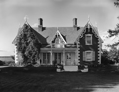
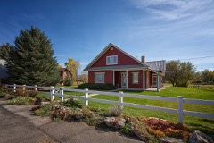
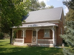
Block
From the record
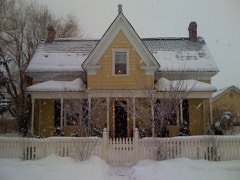
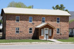
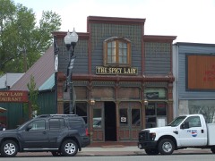
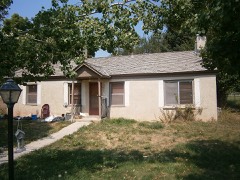
38 National Register listings published here.
Sources: the National Register database, National Park Service
88 topographic sheets and 2 fire insurance atlases across 1 place.
38 National Register listings published here.
Sources: the National Register database, National Park Service
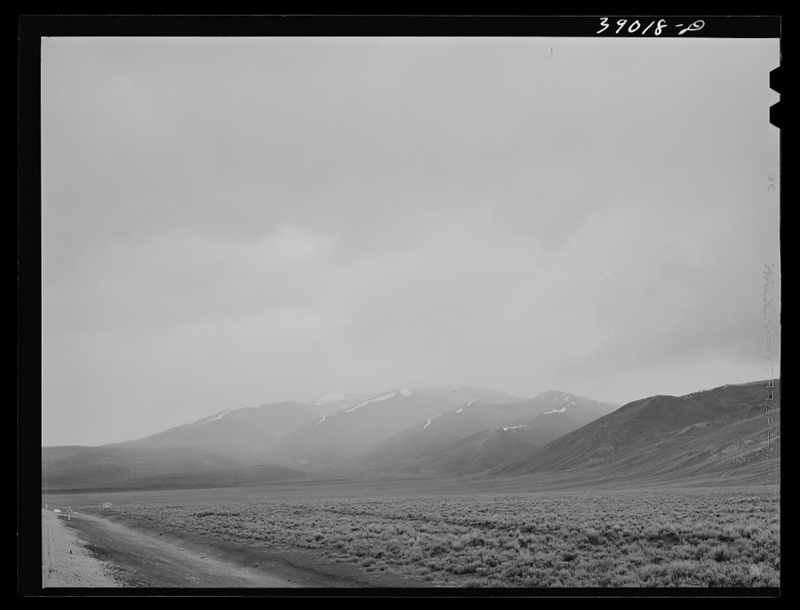
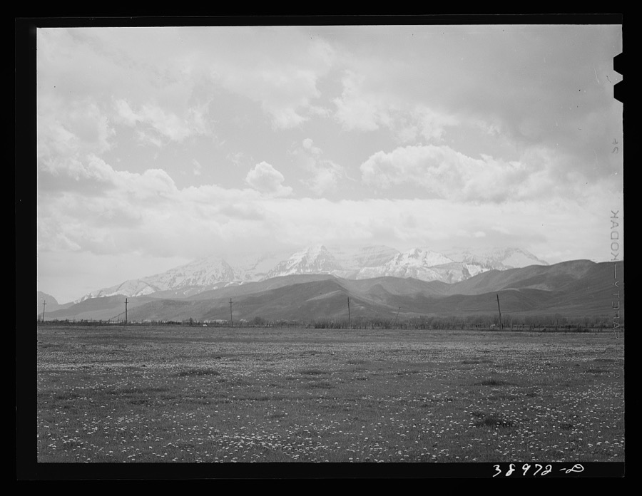
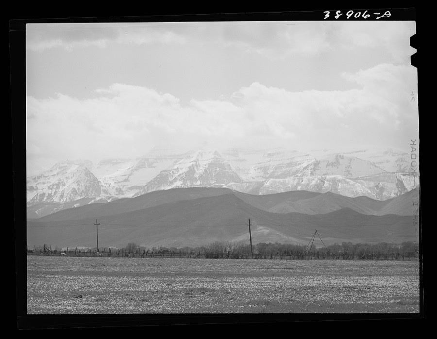
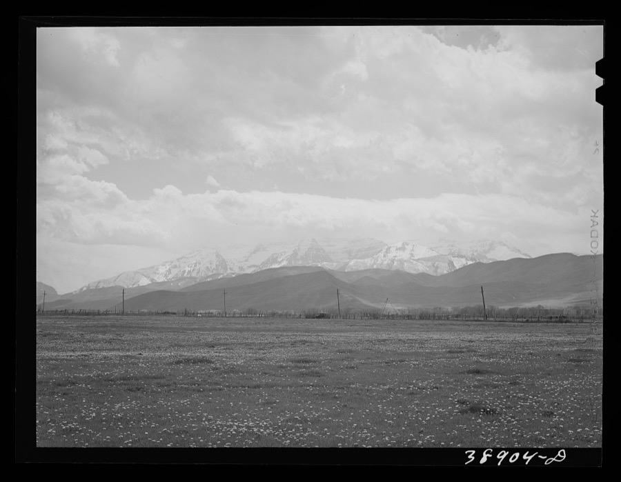
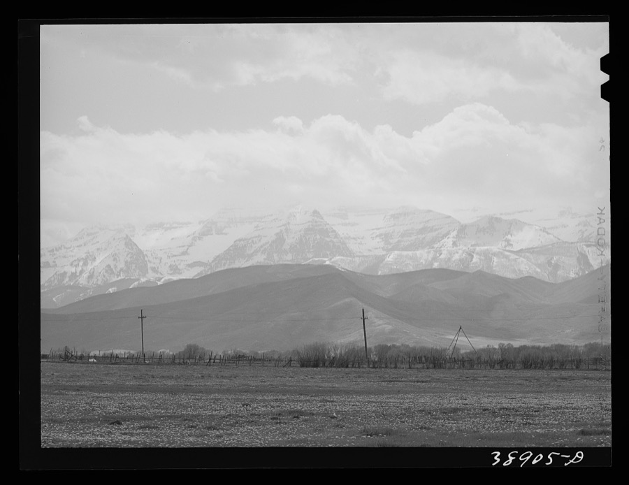
Taken for the Office of War Information and the Farm Security Administration, who photographed the country between 1935 and 1944. Works of United States government photographers, with no known restriction on use. Each opens its catalogue record.
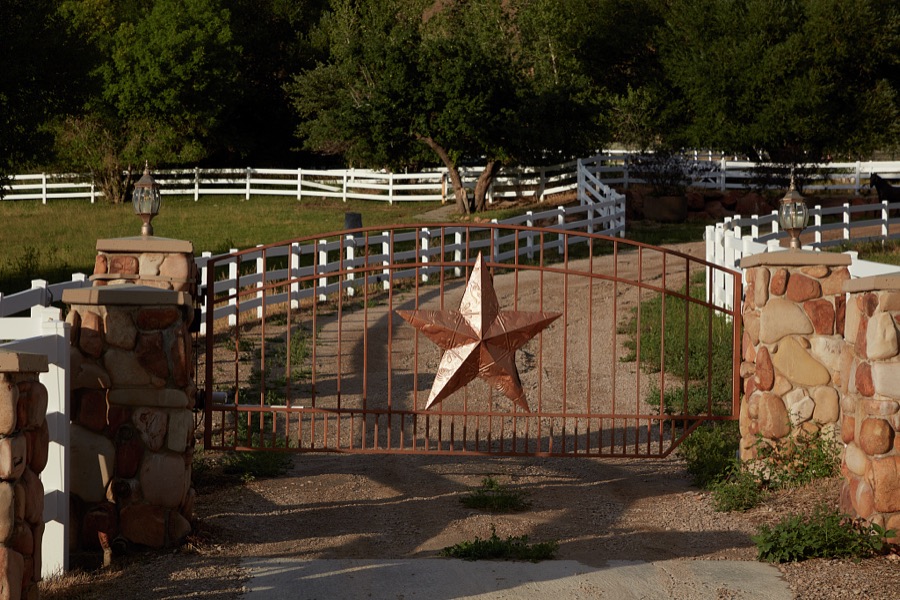
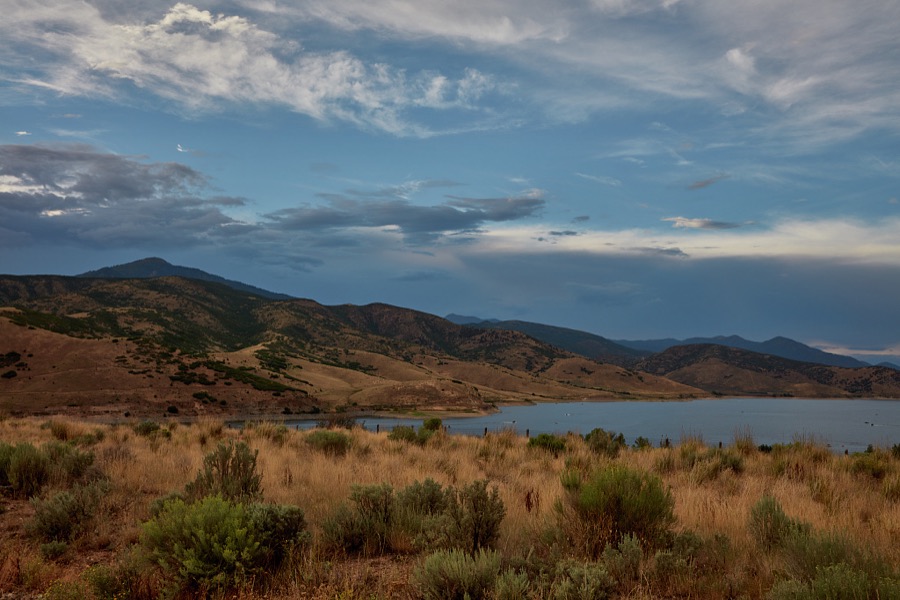
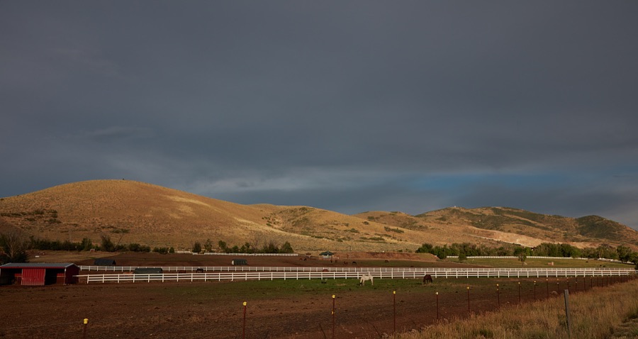
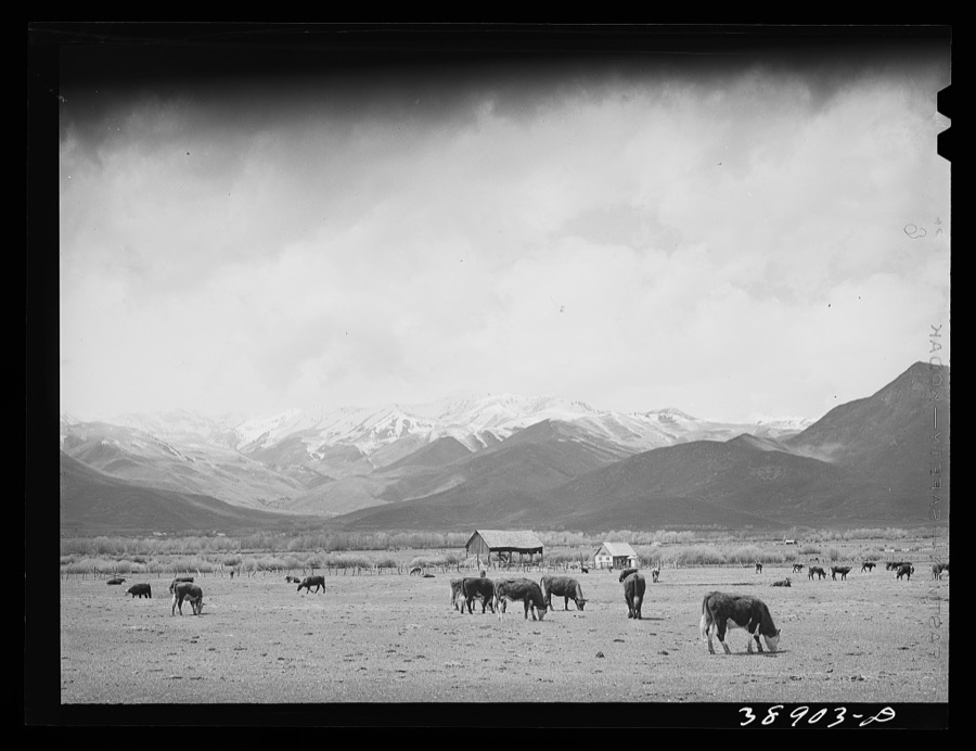
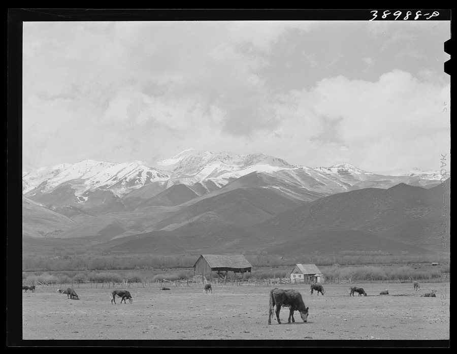
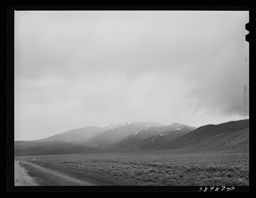
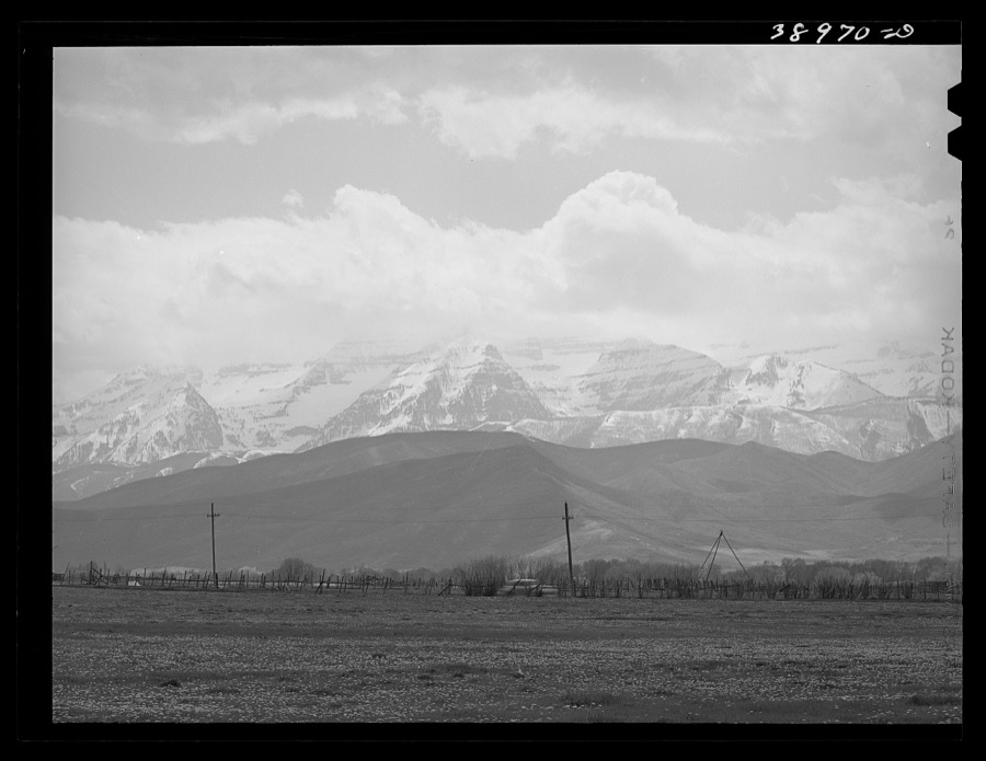
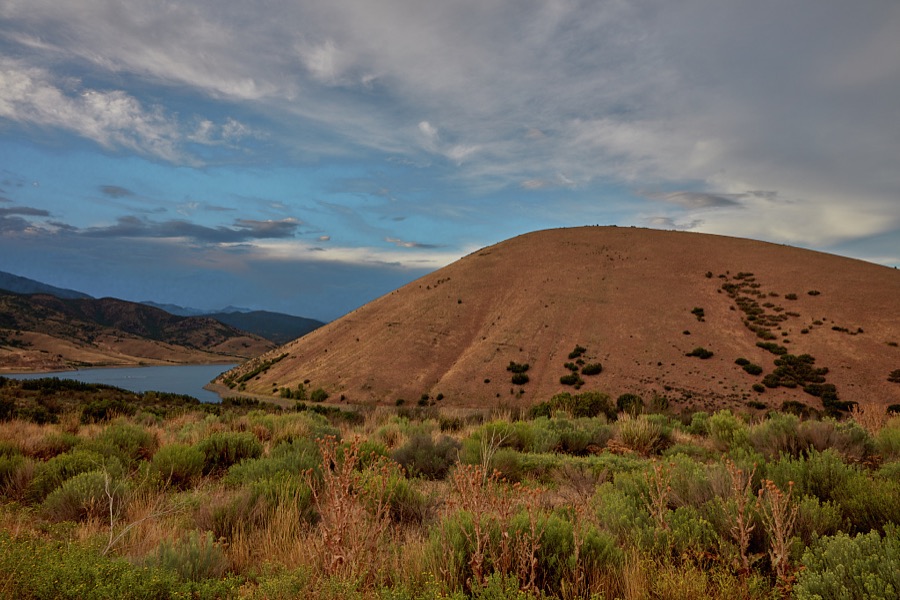
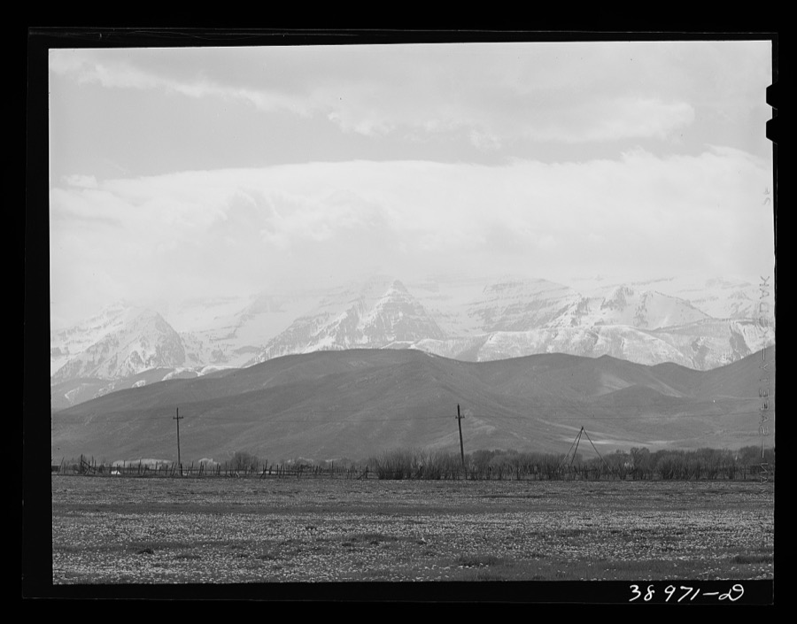
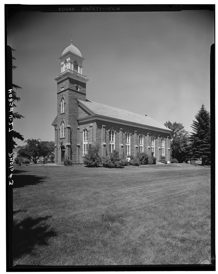
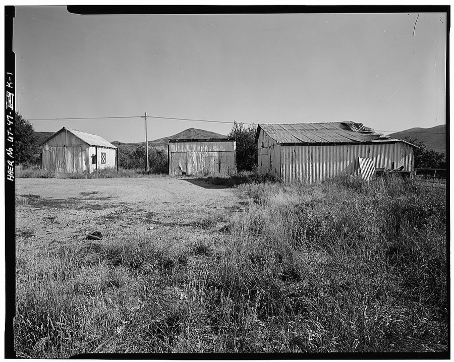
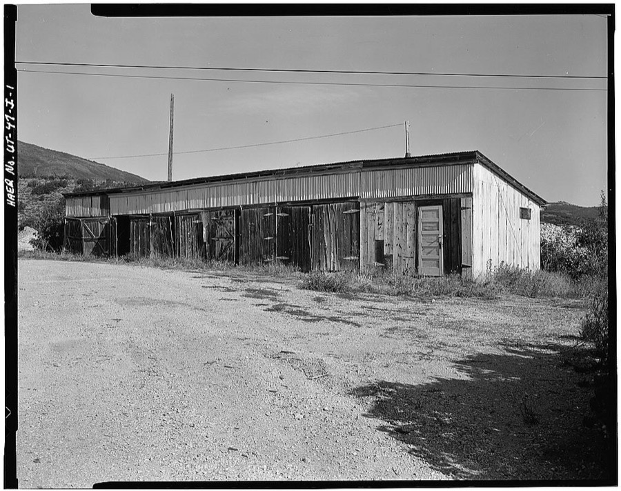
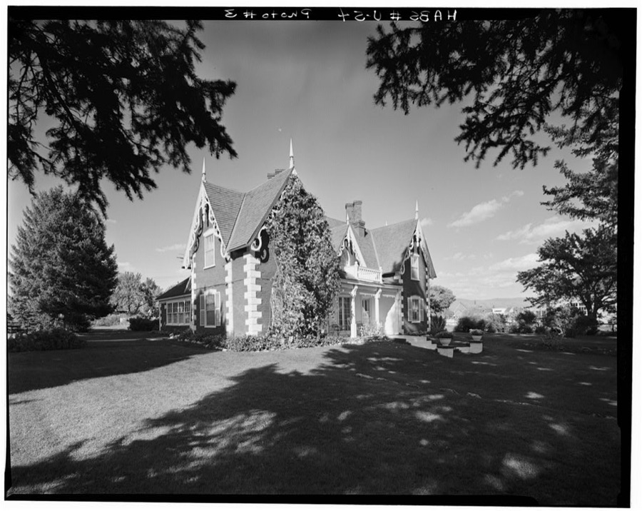
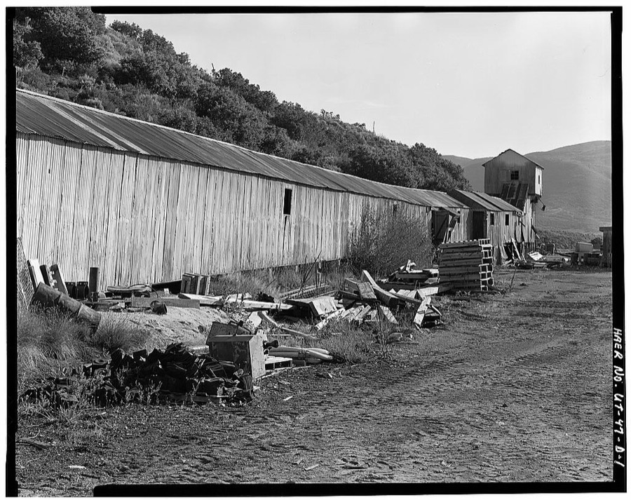
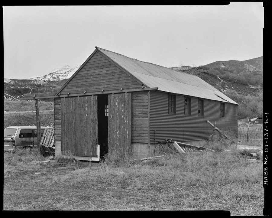
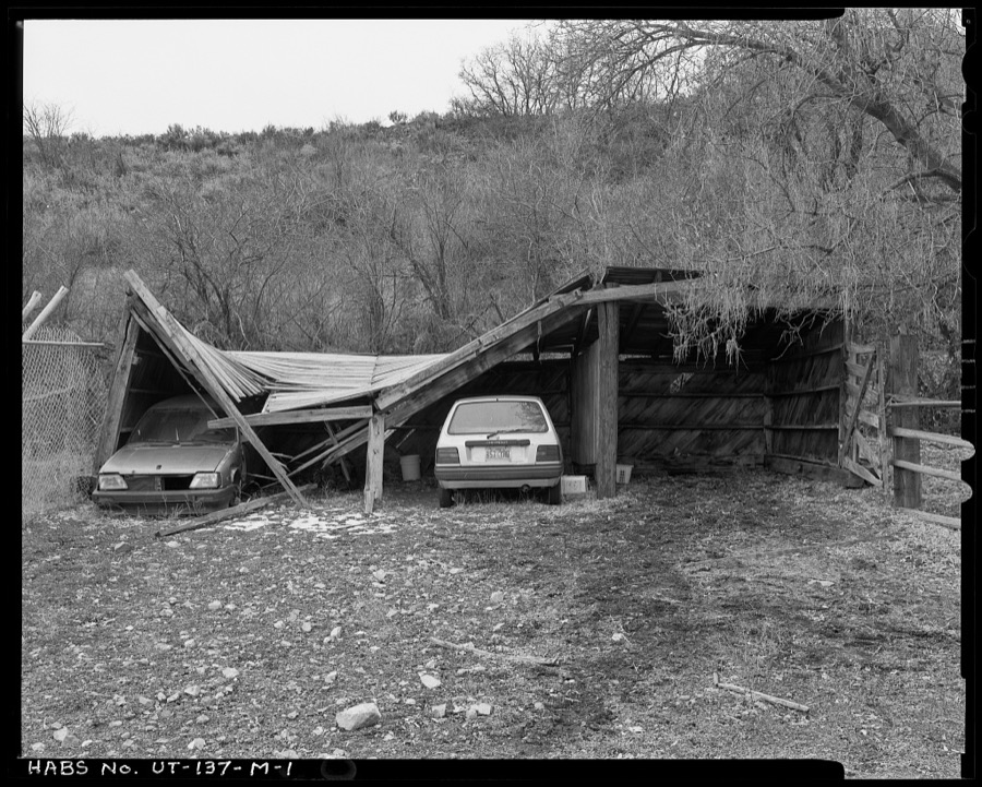
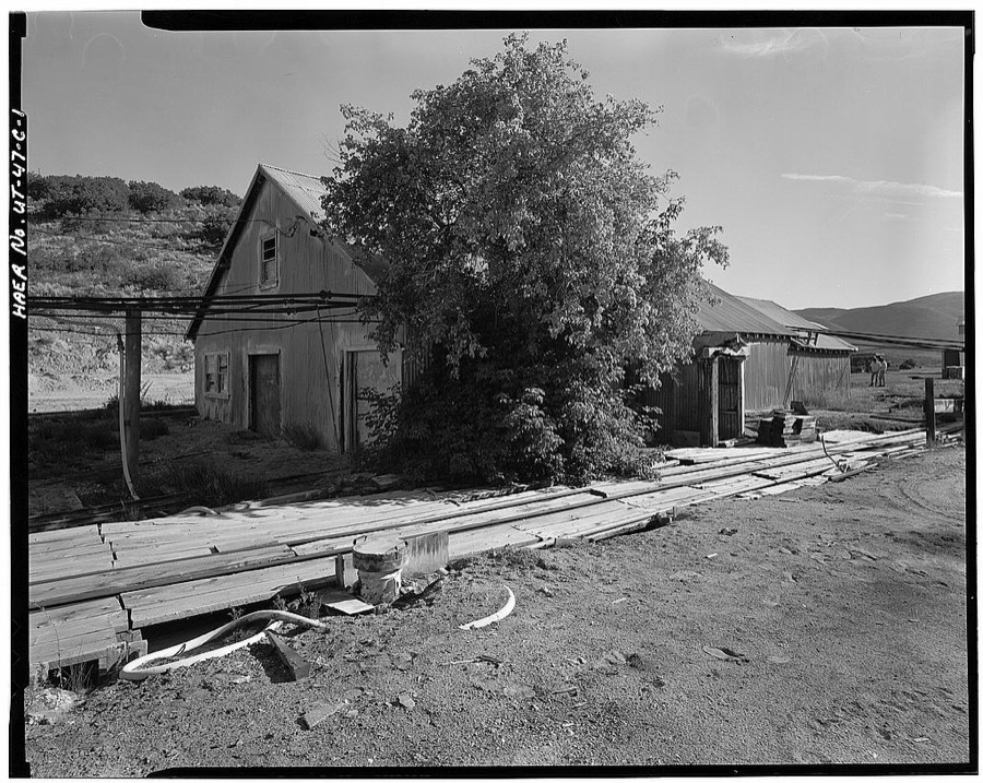
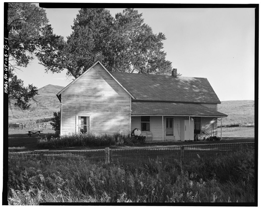
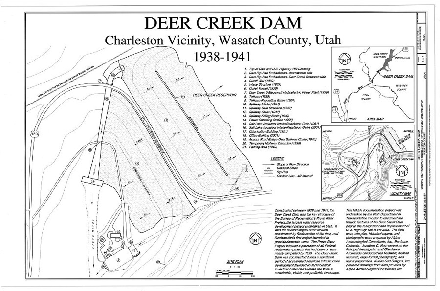
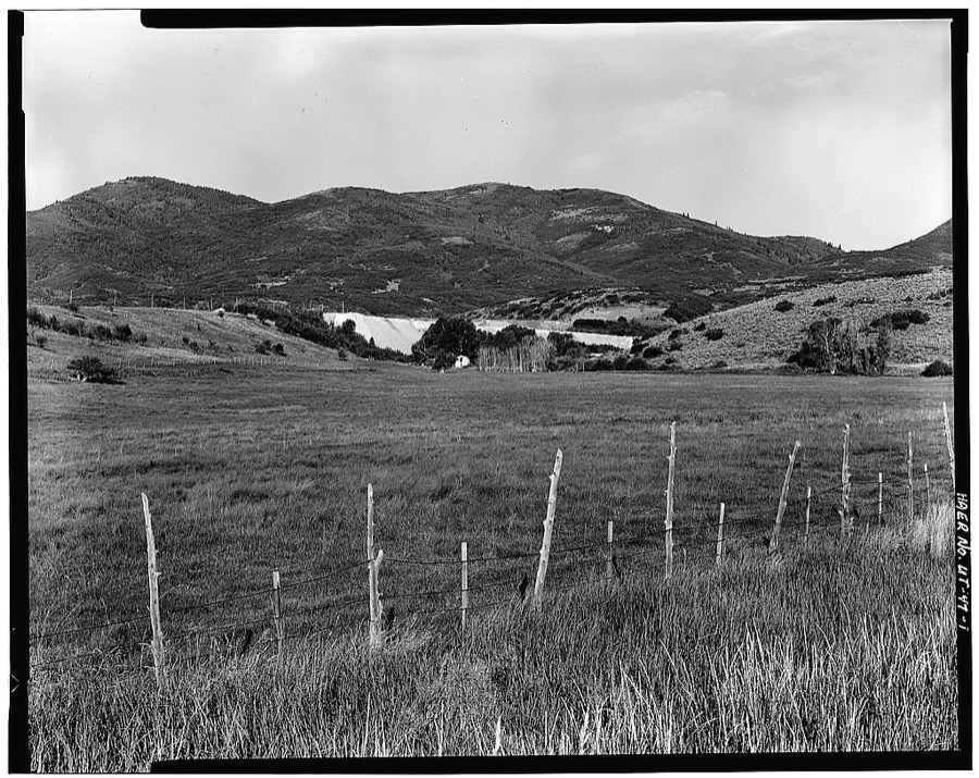
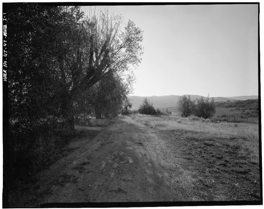
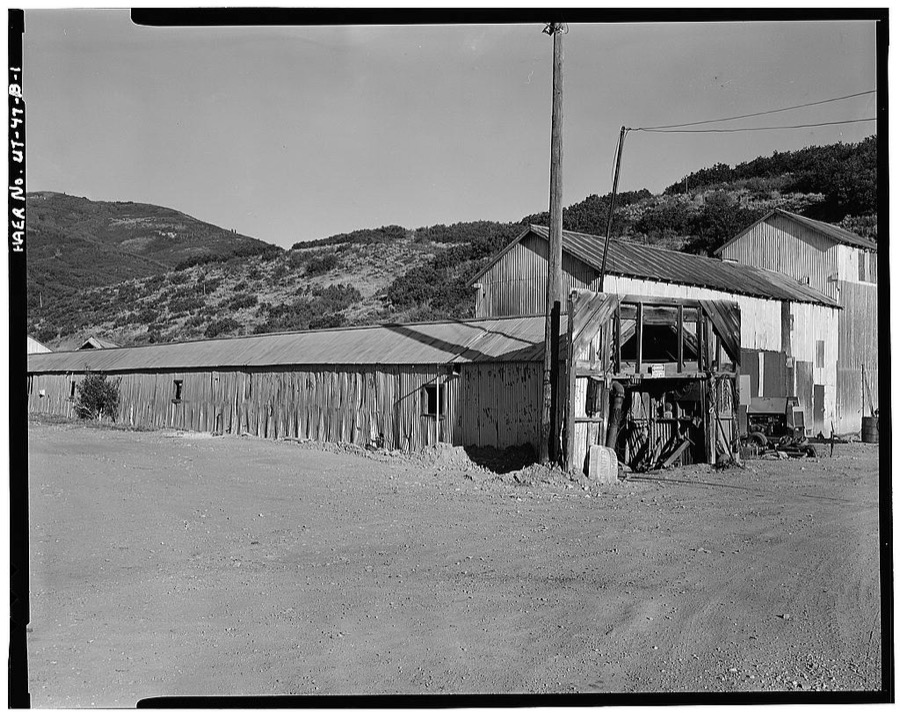
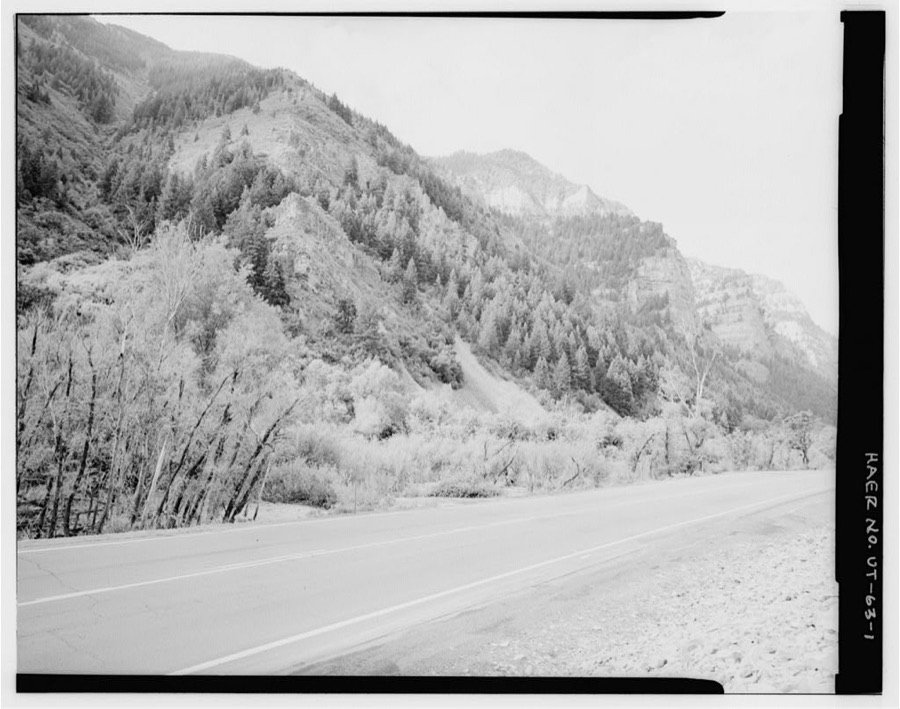
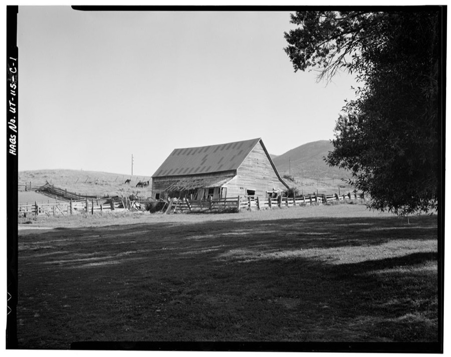
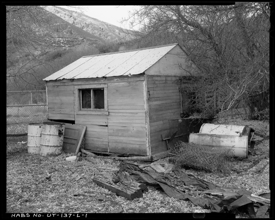
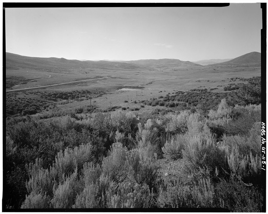
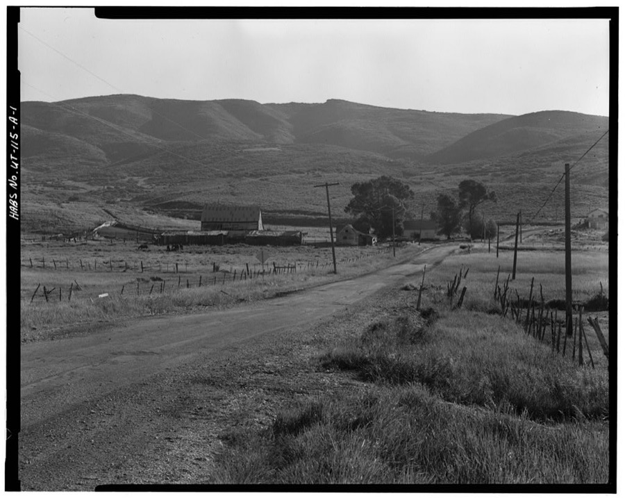
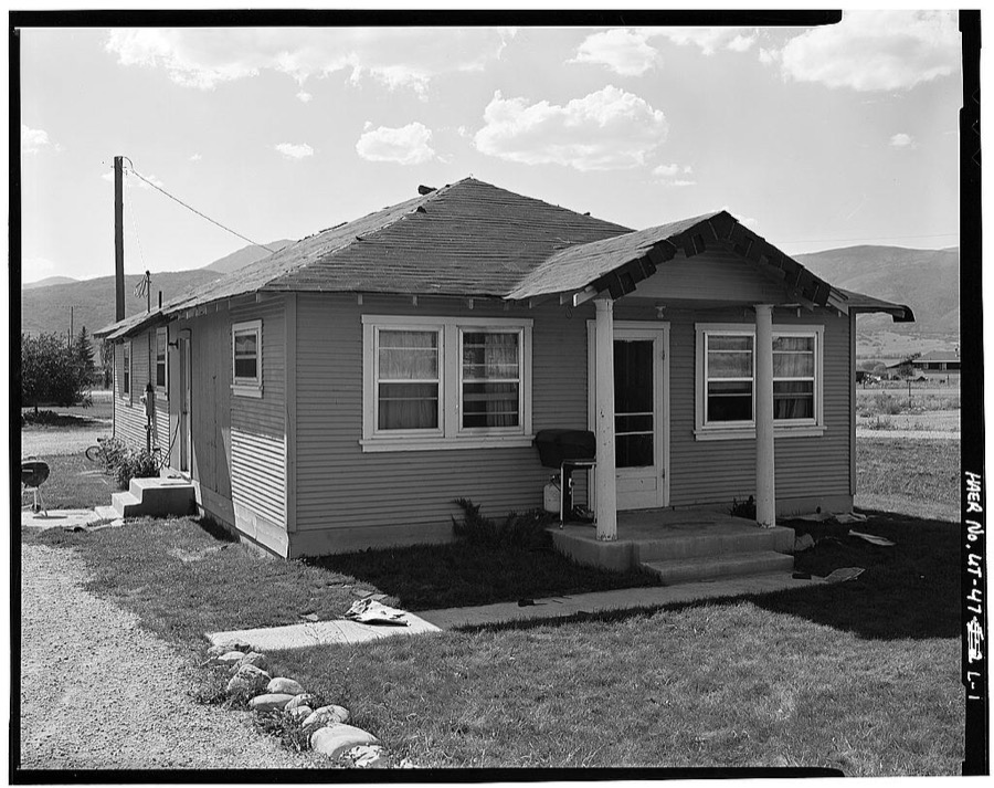
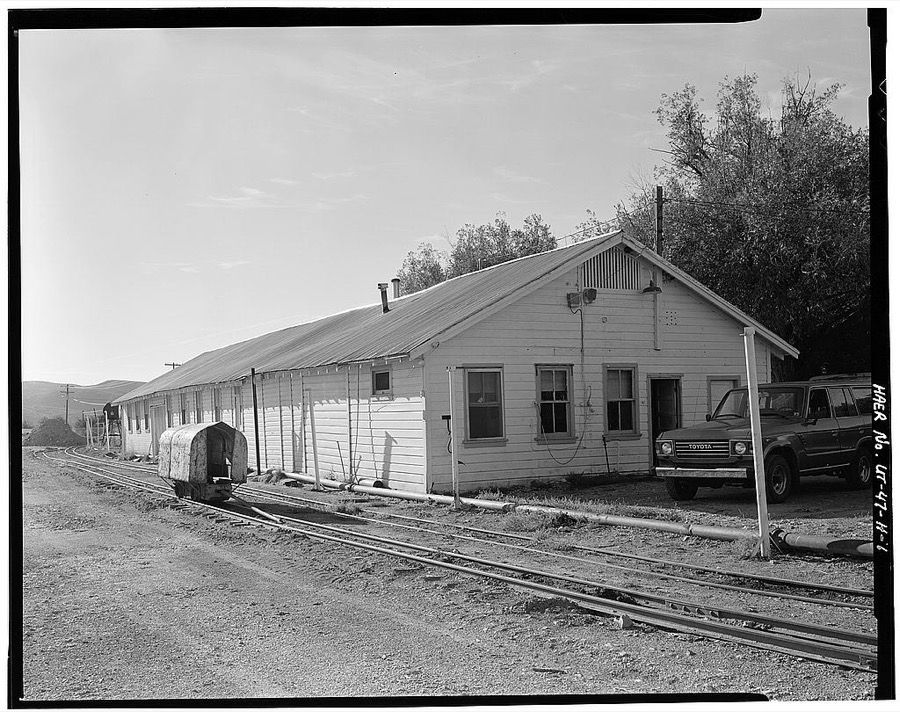
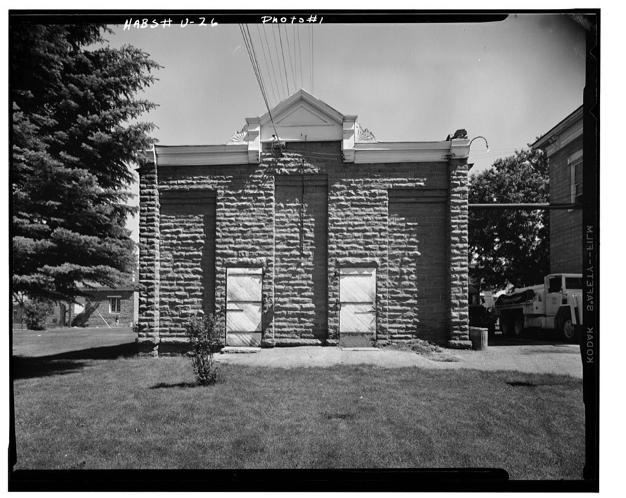
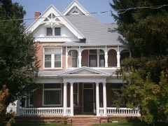
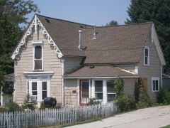
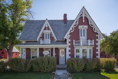
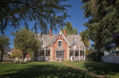
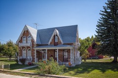
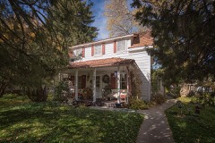
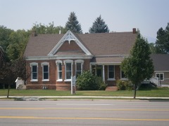
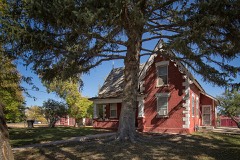
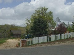
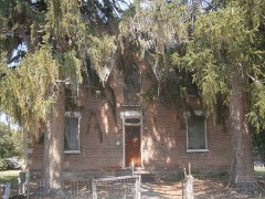
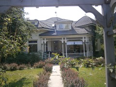
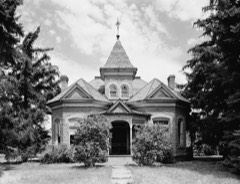
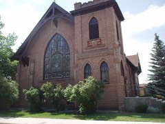
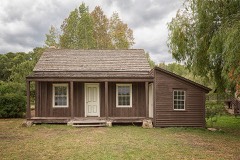
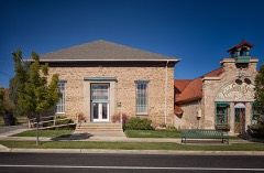
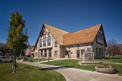
Every property in this county listed on the National Register of Historic Places, with the year it was listed and the federal nomination document.
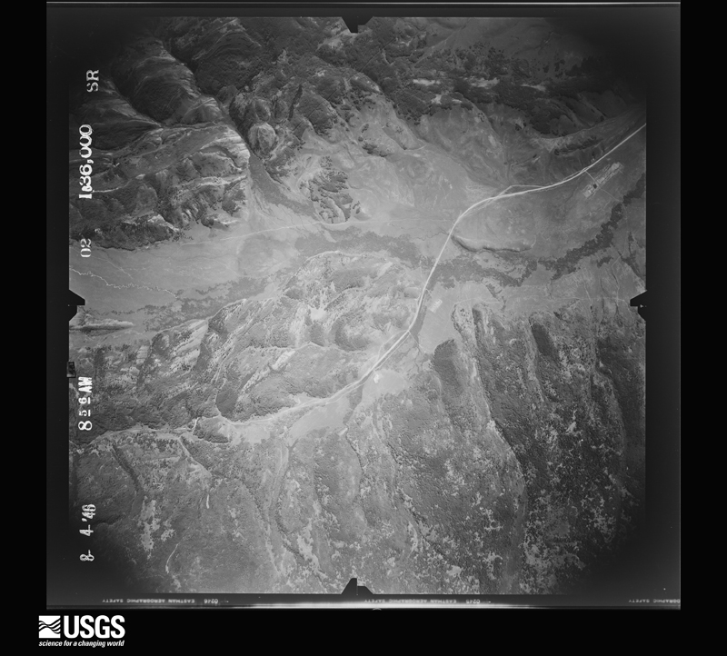
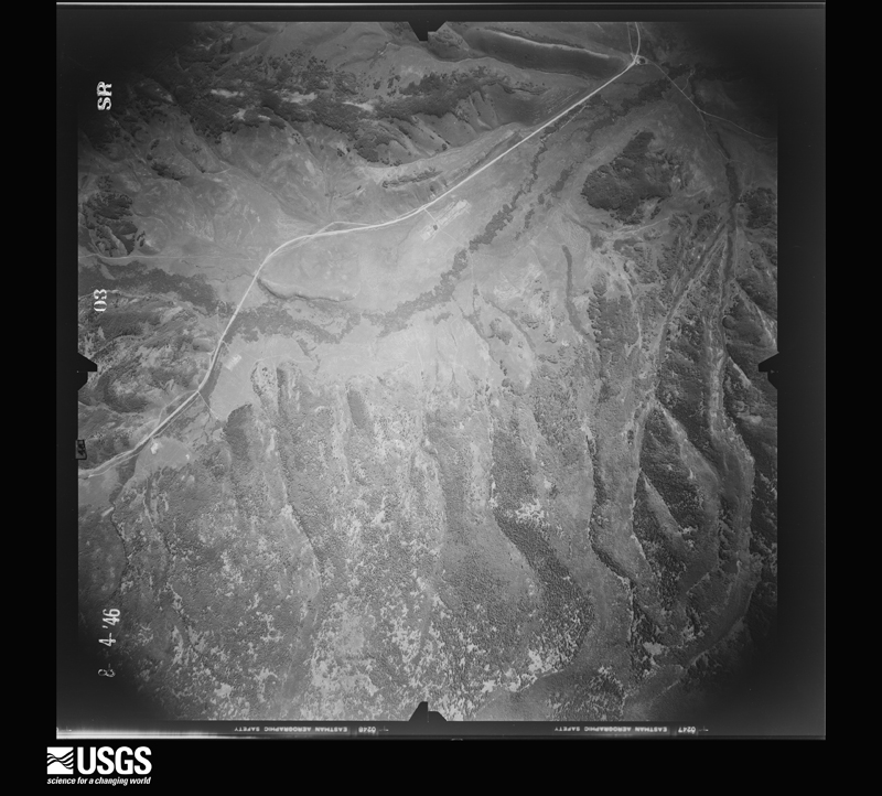
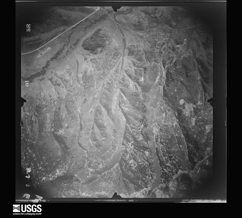
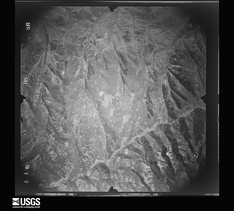
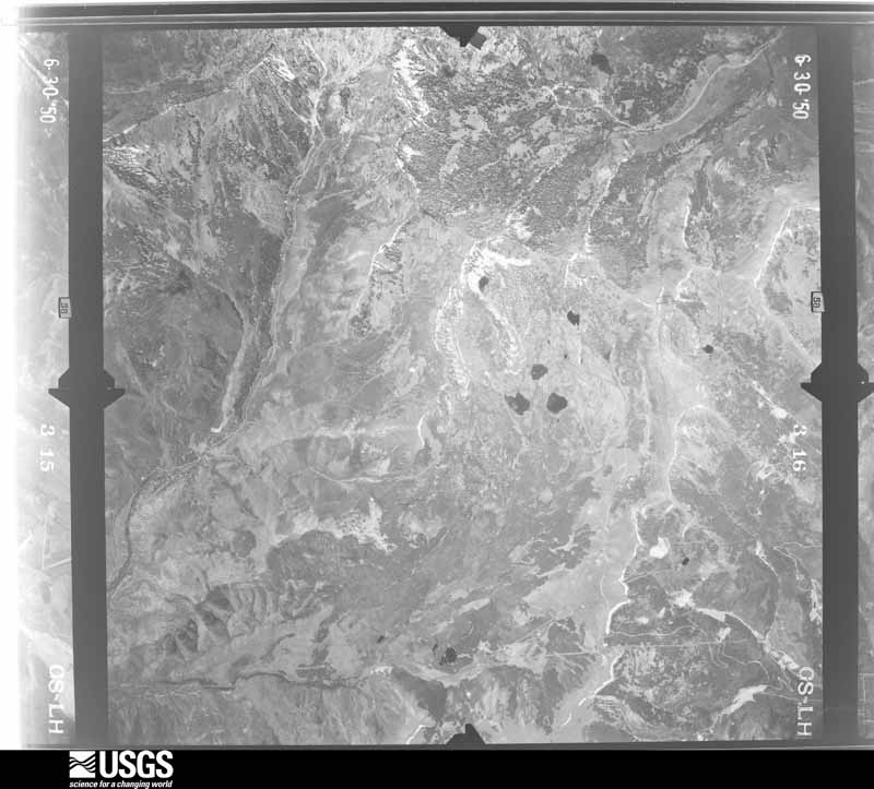
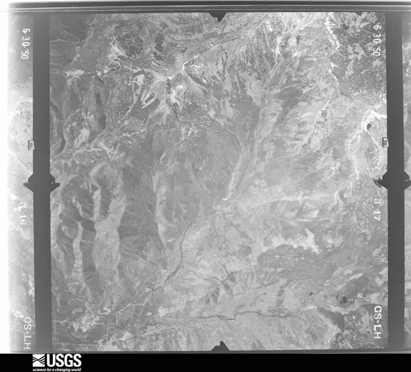
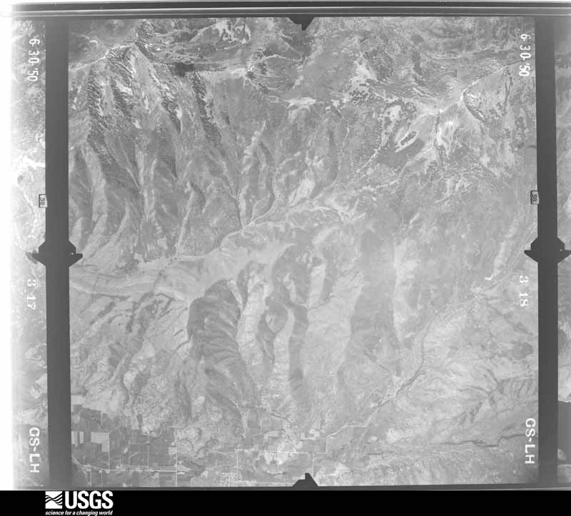
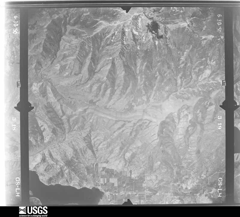
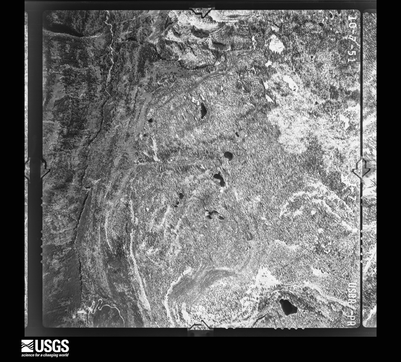
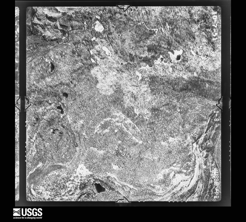
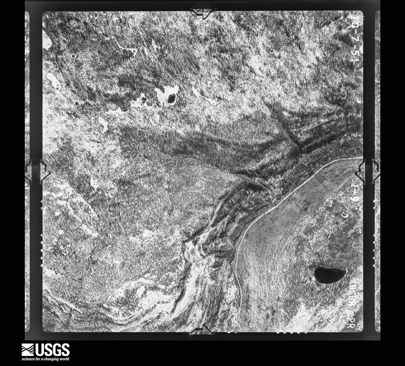
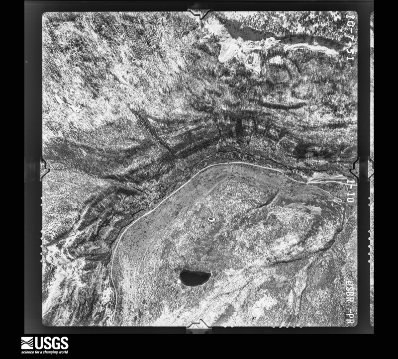
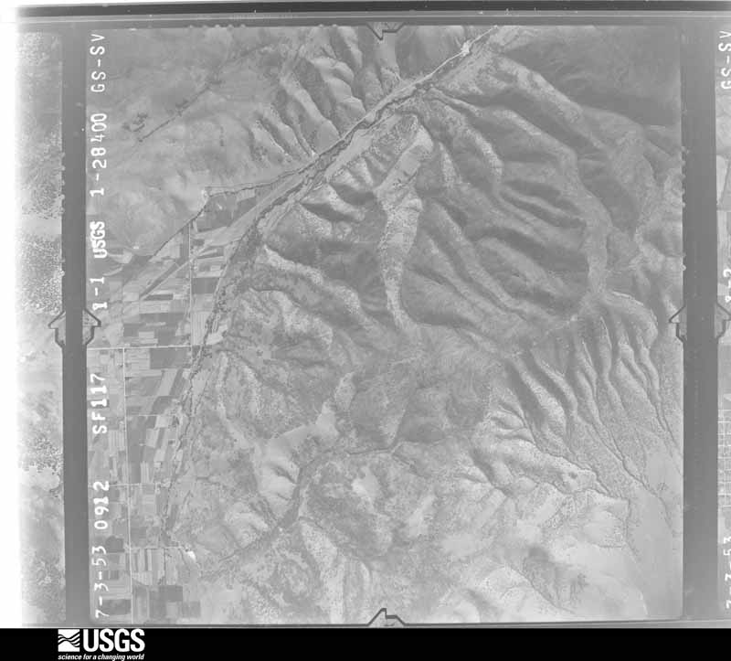
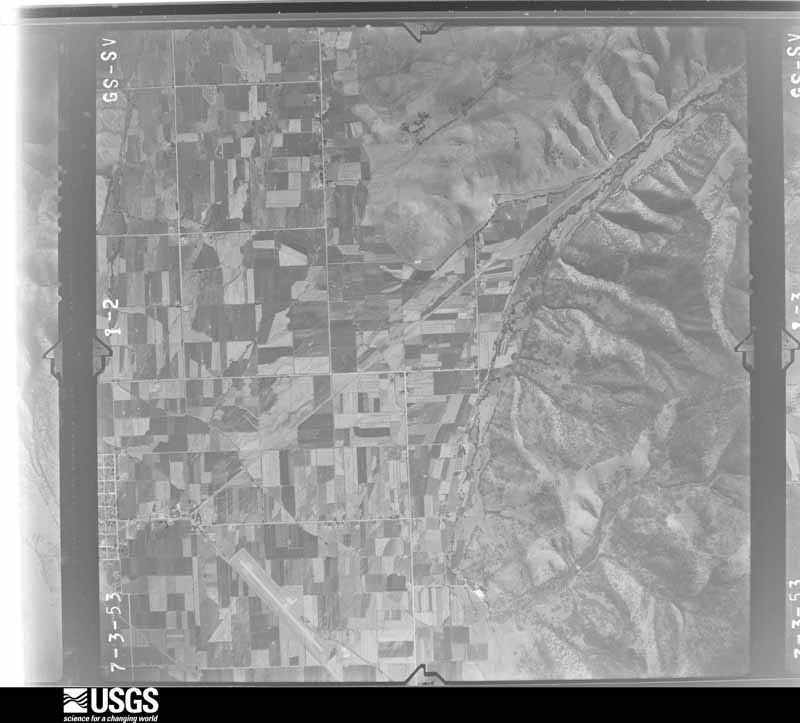
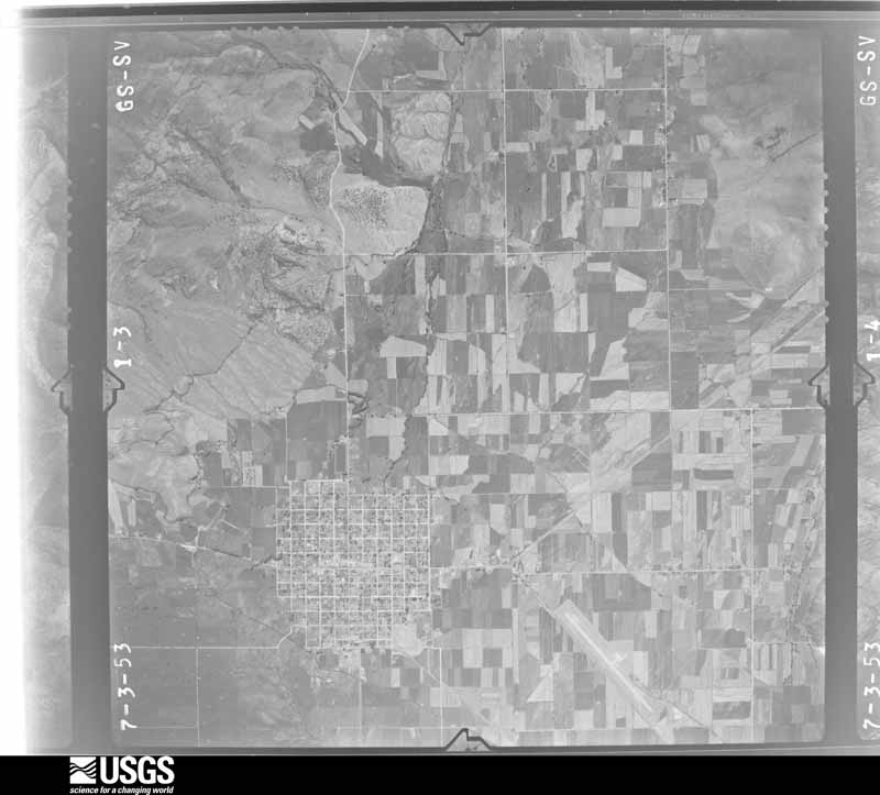
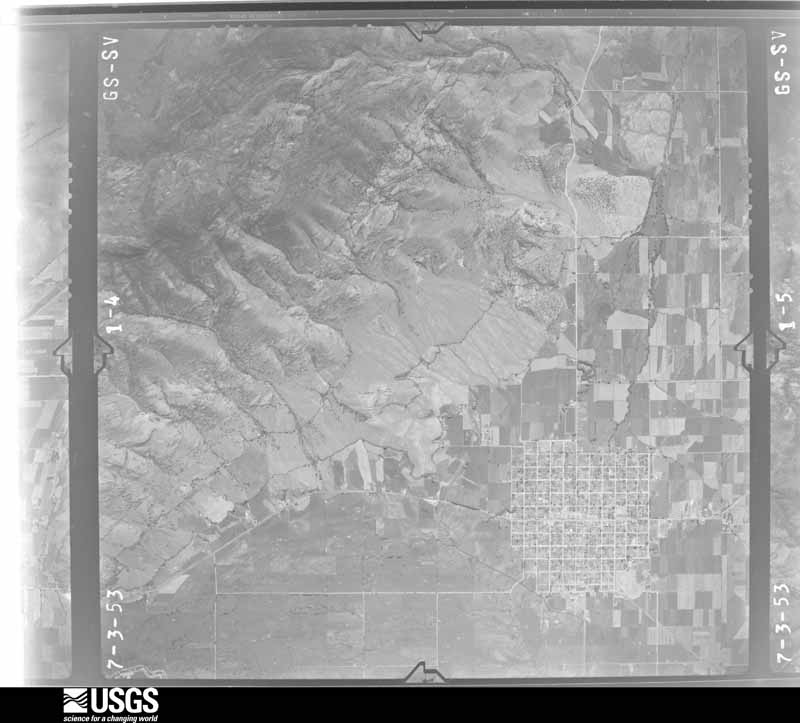
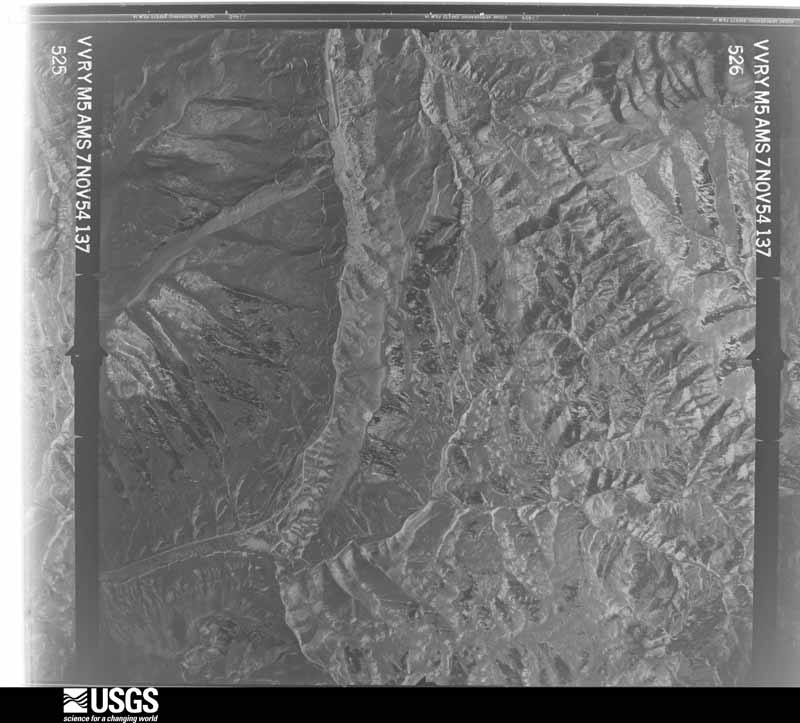
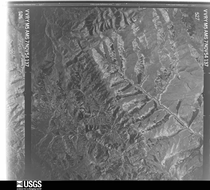
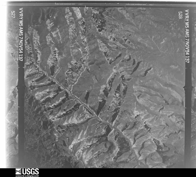
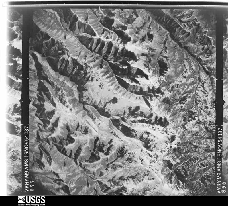
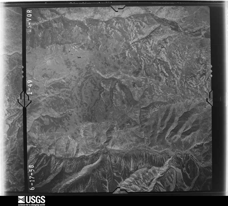
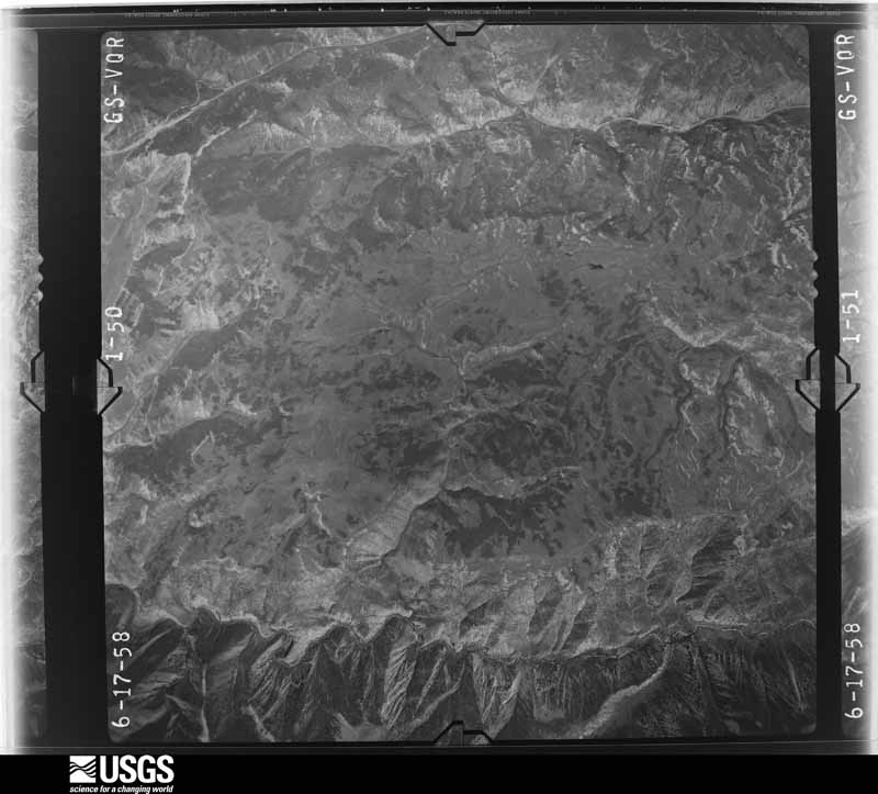
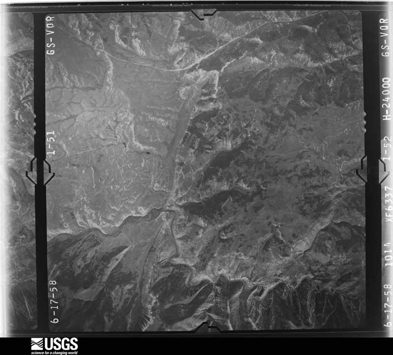
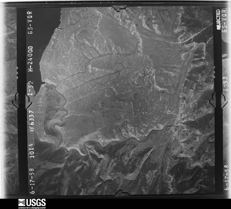
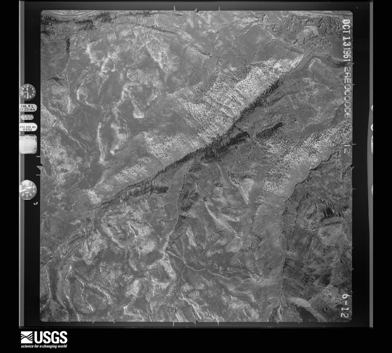
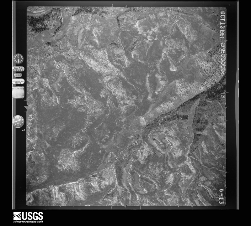
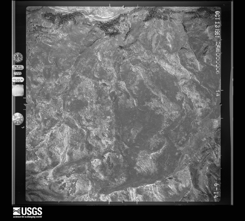
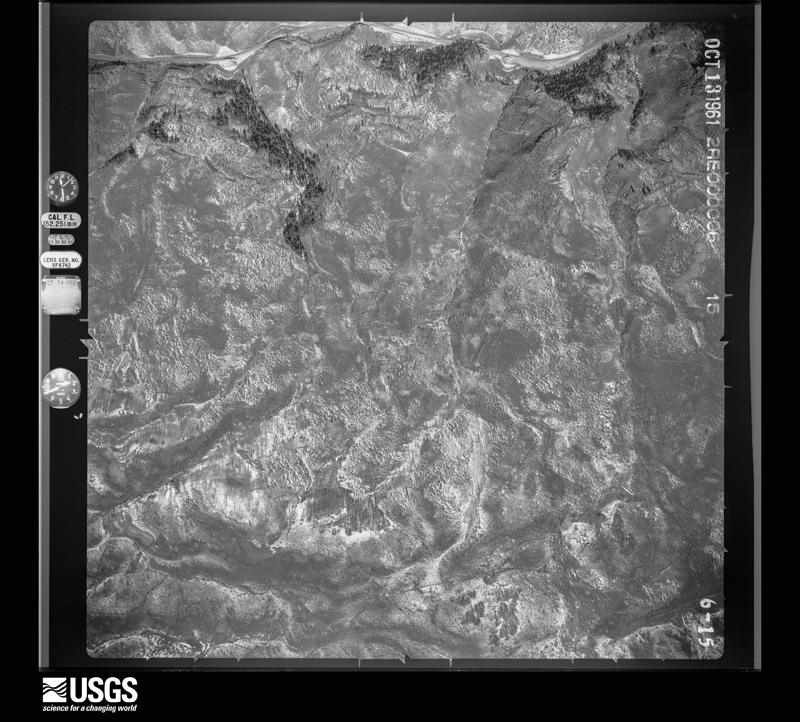
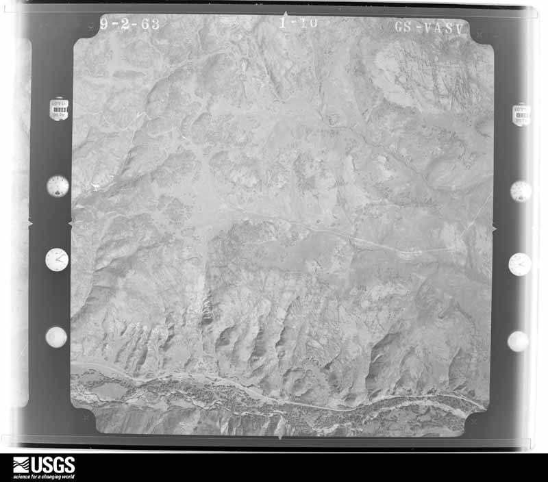
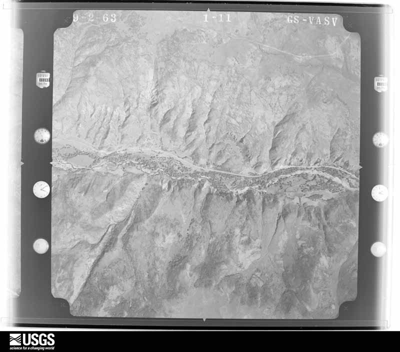
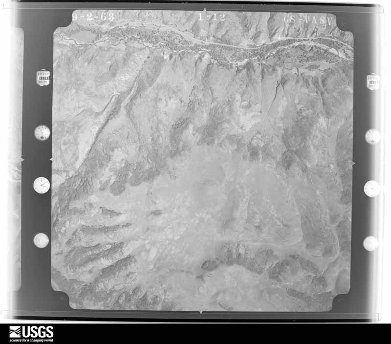
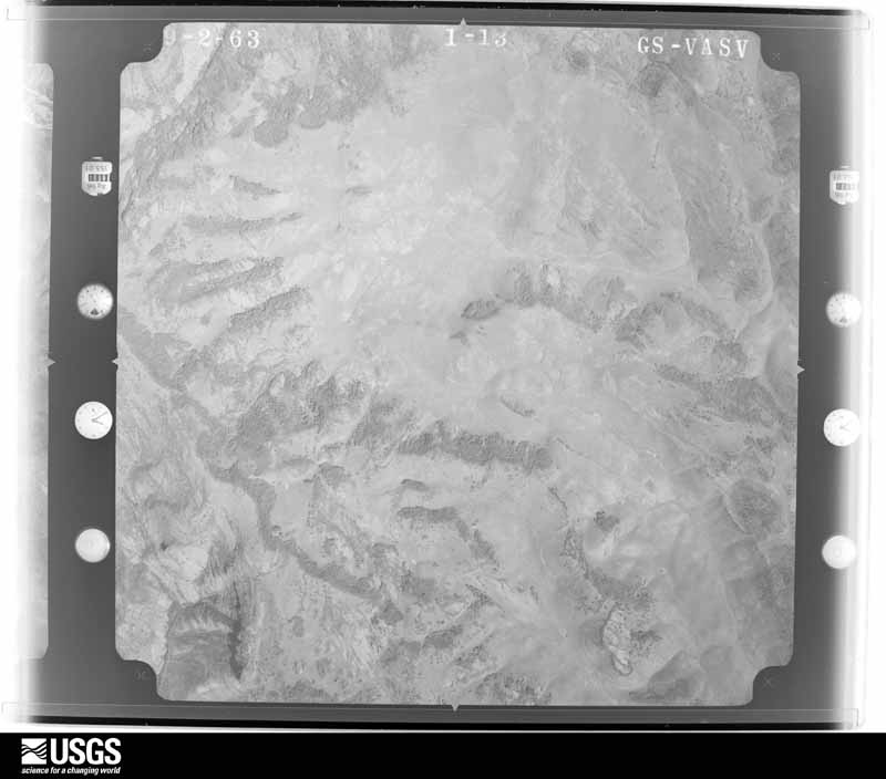
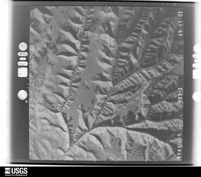
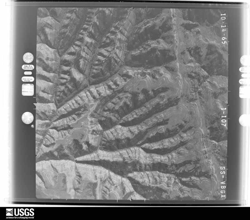
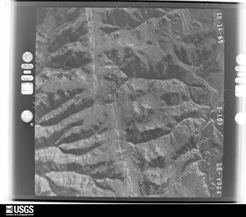
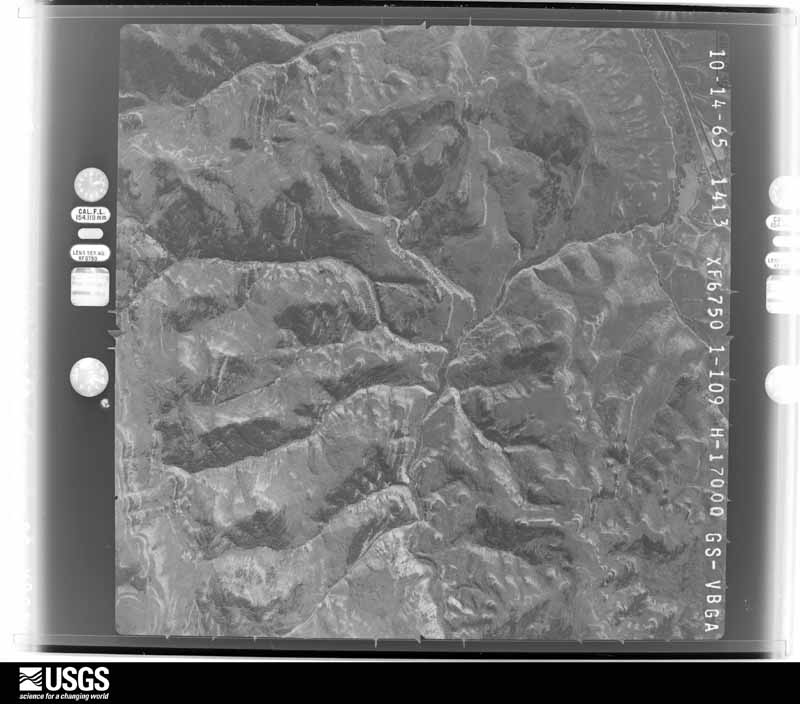
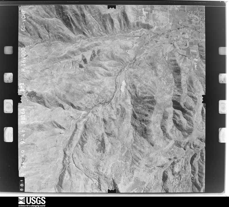
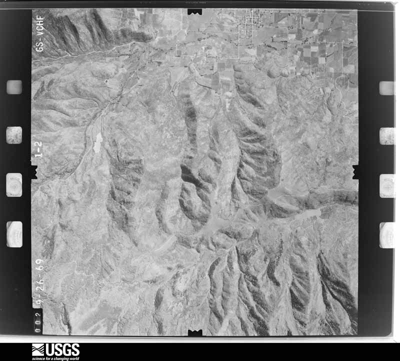
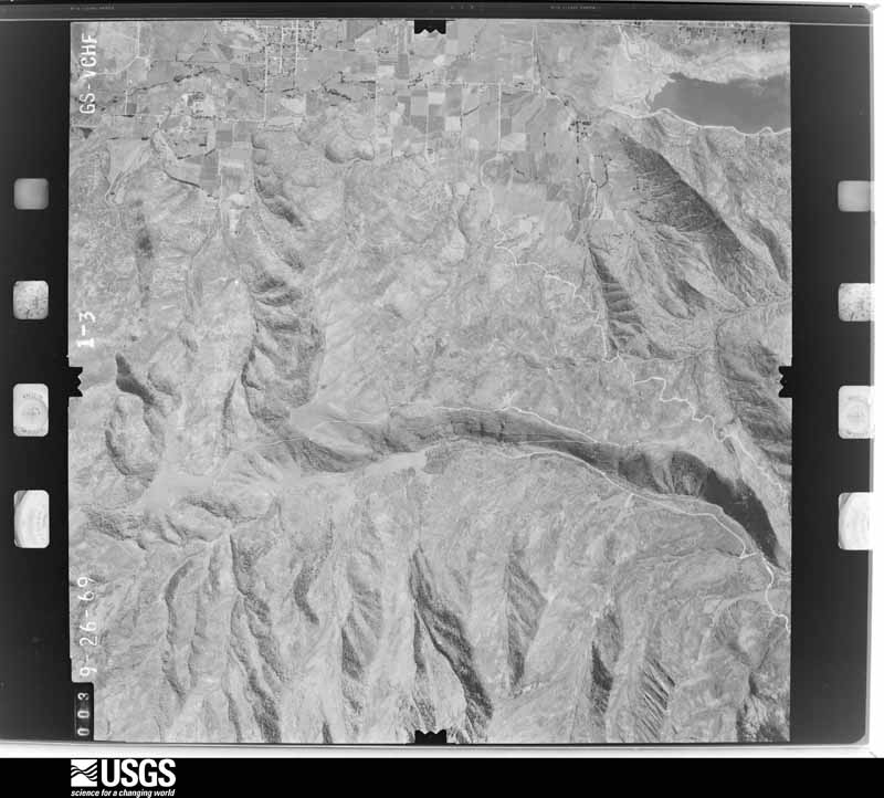
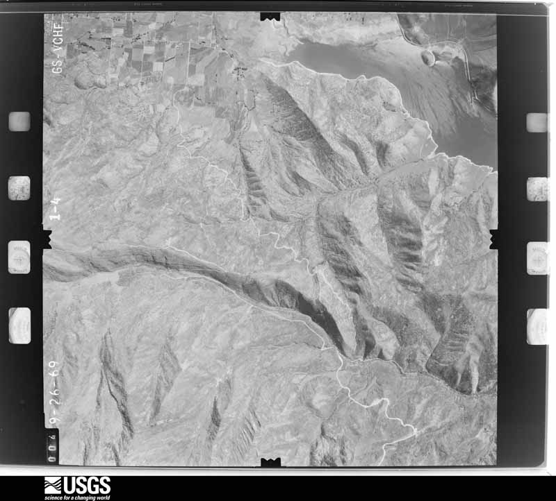
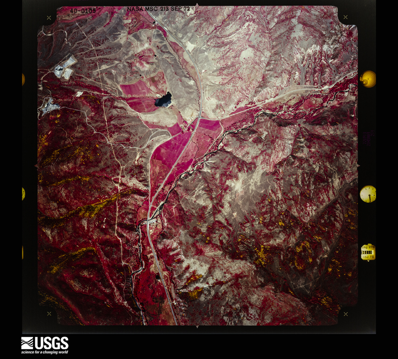
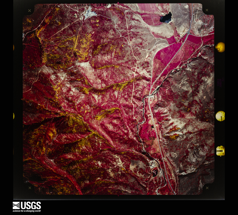
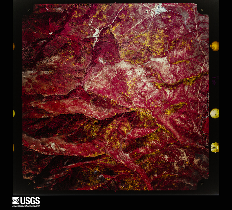
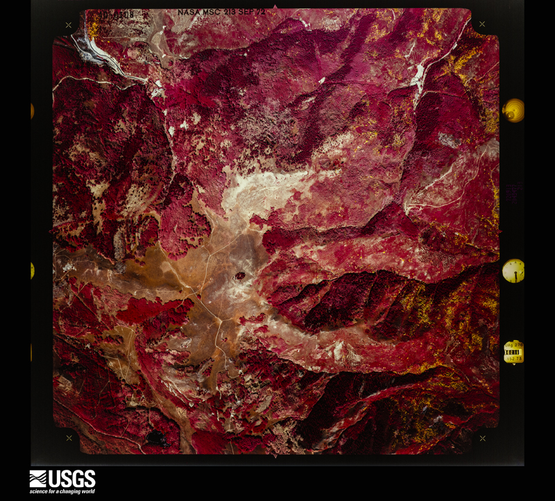
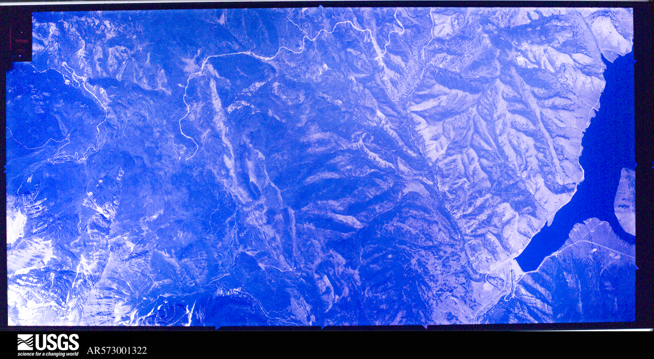
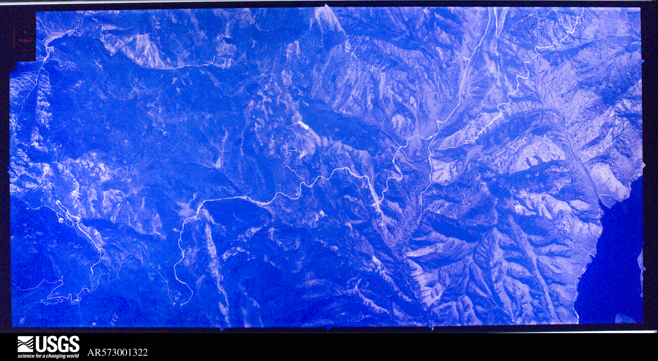
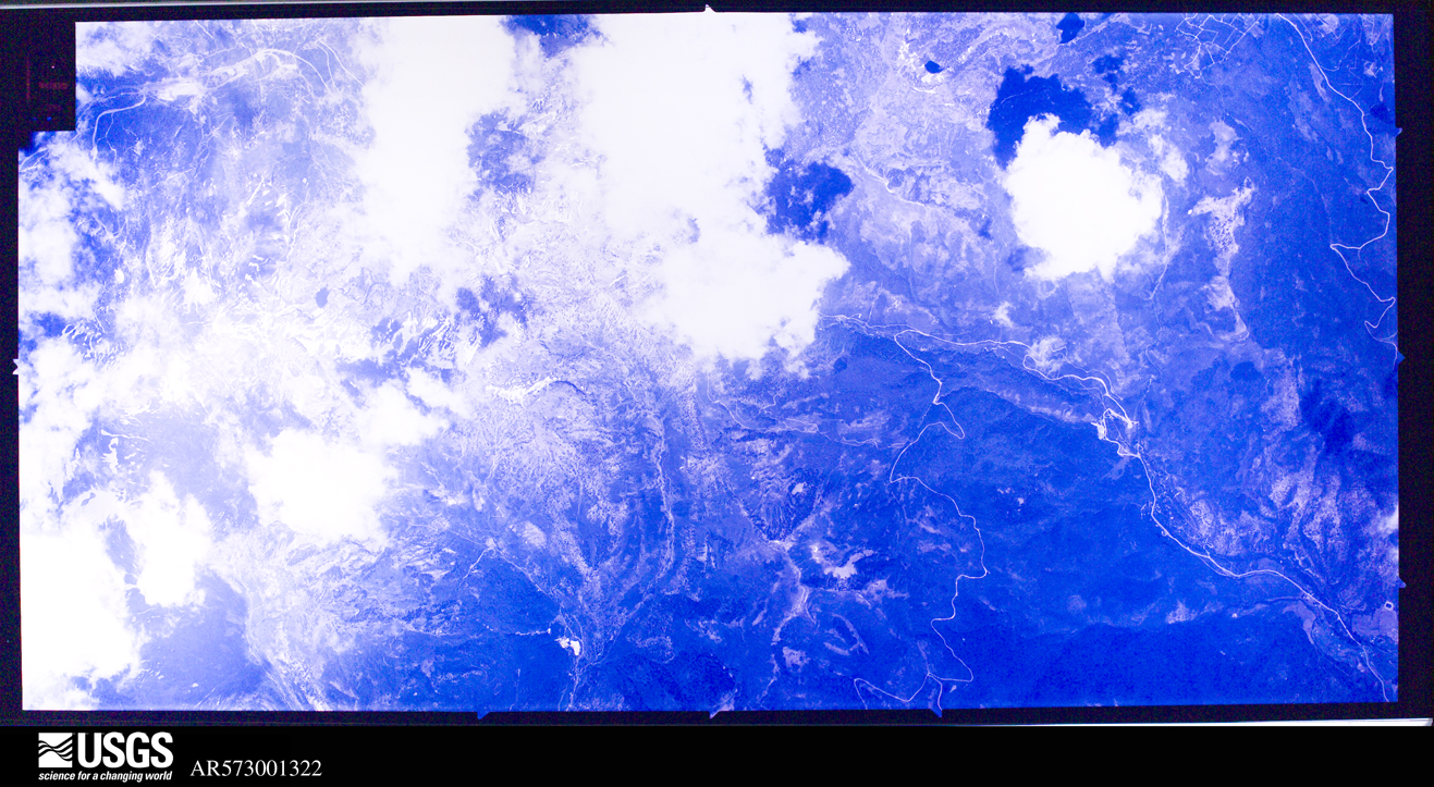
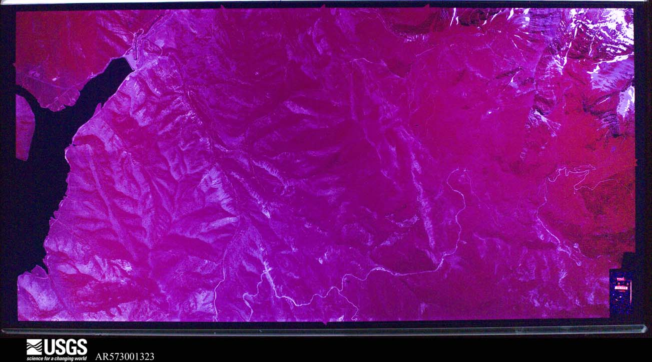
Flown by the U.S. Geological Survey between 1937 and 1989, the Aerial Photo Single Frames collection is the definitive mid-century view of the land: fields, roads and rivers as the camera saw them. The Survey holds 2,006 frames inside the rectangle that bounds this county; the 48 frames below were taken over the county itself, chosen across the decades of flights (at most four a year from that rectangle), so one flight cannot crowd out the rest. The full set is free to browse and download at EarthExplorer under the dataset Aerial Photo Single Frames.
The thermometers that kept this county's weather, and the gages that measured the flow of its streams, as the federal records hold them. The extremes below are measured values from those records, not estimates.
Who lived here in 1950, one enumeration district at a time, as the Census Bureau described each district. Each row opens its official National Archives result, with Population Schedules and ED Maps available there.
Every wildfire the federal occurrence database records inside this county: 897 of them, burning about 24,259 acres. 275 started naturally and 20 were recorded as arson. Each settlement page carries the fires within five miles of it.
| Reported cause | Fires |
|---|---|
| Natural | 275 |
| Missing data/not specified/undetermined | 186 |
| Recreation and ceremony | 176 |
| Debris and open burning | 95 |
| Equipment and vehicle use | 60 |
| Fireworks | 22 |
| Arson/incendiarism | 20 |
| Power generation/transmission/distribution | 17 |
| Railroad operations and maintenance | 17 |
| Smoking | 14 |
| Misuse of fire by a minor | 11 |
| Other causes | 4 |
The five largest, by the area the report gives. None of them was recorded as arson.
| Date | Cause | Size | Reported by | Name on the report |
|---|---|---|---|---|
| 23 September 2003 | Debris and open burning | 7,828 acres | Uinta-Wasatch-Cache National Forest | CASCADE 2 |
| 28 July 1994 | Missing data/not specified/undetermined | 3,200 acres | Utah Division Forestry Fire State Lands | CASTLE ROCK |
| 17 August 2001 | Recreation and ceremony | 1,800 acres | Uinta-Wasatch-Cache National Forest | SOUTH HOLLOW |
| 6 June 2018 | Natural | 1,311 acres | Uinta-Wasatch-Cache National Forest | WILLOW CREEK |
| 7 November 1995 | Missing data/not specified/undetermined | 793 acres | Utah Division Forestry Fire State Lands | COYOTE HOLLOW |
| 23 June 2008 | Natural | 720 acres | Ashley National Forest | MILL HOLLOW |
| 16 July 2010 | Equipment and vehicle use | 696 acres | Salt Lake Field Office | PENNEYS |
| 30 July 2011 | Natural | 695 acres | Ashley National Forest | SPRING |
Every settlement page carries the fires within five miles of it - see the settlement index below.
The NOAA Storm Events Database holds 51 reports for this county, causing 2 deaths, 1 injury and about $71,000 in recorded property damage. Each settlement page carries the reports that name it.
| Kind of event | Reports |
|---|---|
| Thunderstorm Wind | 33 |
| Hail | 11 |
| Lightning | 2 |
| Flash Flood | 2 |
| Funnel Cloud | 1 |
| Tornado | 1 |
| Flood | 1 |
The most serious of them, by death, then injury, then recorded damage. The accounts are quoted exactly as the forecast office filed them.
| When | Event | Place named | Harm | What the report says |
|---|---|---|---|---|
| March 2001 | Thunderstorm Wind | Heber City | 1 killed, 1 hurt, $1,000 | Two men were canoeing on Jordanelle Reservoir when thunderstorm outflow winds estimated at 45mph (39kts) capsized the canoe. The men were thrown into the 34 degree water about 25 feet from shore, but they were pushed out further by the wind as they hung onto the canoe. They both became hypothermic, and the 27-year-old man let go of the canoe and drowned. The other man was rescued and sent to the hospital, where he recovered. |
| October 2003 | Lightning | Central Portion | 1 killed | A 64-year-old man was struck and killed by lightning while attempting to load a boat out of Strawberry reservoir and onto a trailer. |
| July 2002 | Thunderstorm Wind | Heber City | $30,000 | Thunderstorm winds estimated at 60-70 mph (52-61 kts) blew through portions of Heber City, blowing down trees and power lines and taking shingles off roofs. |
| August 2024 | Flood | Daniel | $15,000 | Reports, videos, and webcams showed several flooded roads. |
| August 2004 | Lightning | Heber City | $15,000 | no account filed |
| July 2023 | Thunderstorm Wind | Midway | $5,000 | Multiple trees were downed in Midway. |
| May 2025 | Thunderstorm Wind | Center Creek | $1,000 | Public report of intense winds blowing trees, breaking tree parts, and damaging household parts outside. |
| August 2024 | Hail | Daniel | $1,000 | A CoCoRaHS observer reported 1 inch diameter hail. |
| July 2023 | Thunderstorm Wind | Midway | $1,000 | MPING relayed damage report of 1-inch tree limbs broken and shingles blown off in Midway. |
| July 2023 | Thunderstorm Wind | Daniel | $1,000 | A large and healthy tree was snapped off near its base at the Heber City police station. |
| June 2002 | Thunderstorm Wind | Heber City | $1,000 | no account filed |
| July 2024 | Thunderstorm Wind | Charleston | - | The US-189 at Deer Creek Dam mesonet station recorded a wind gust of 58 mph at 6:30 pm MST as a result of outflow winds associated with a nearby cluster of showers and thunderstorms moving through the area. A following peak wind gust of 60 mph was subsequently recorded at 6:40 pm MST. |
| August 2024 | Thunderstorm Wind | Center Creek | - | A wind gust of 75 mph was recorded at the Currant Creek Peak mesonet site. |
| August 2024 | Thunderstorm Wind | Center Creek | - | A wind gust of 63 mph was recorded at the Duchesne Ridge mesonet site. |
| May 2023 | Hail | Wallsburg | - | A public report of approximately 1 inch diameter hail at Strawberry Reservoir was received. |
| May 2023 | Thunderstorm Wind | Charleston | - | The US-189 at Deer Creek Dam mesonet station recorded a wind gust of 58 mph as a result of outflow winds associated with a nearby cluster of showers and thunderstorms moving through the area. |
| July 2023 | Thunderstorm Wind | Charleston | - | The US-189 at Deer Creek Dam mesonet station recorded a wind gust of 63 mph as a result of outflow winds associated with a nearby cluster of showers and thunderstorms moving through the area. |
| July 2023 | Thunderstorm Wind | Charleston | - | The US-189 at Deer Creek Dam mesonet station recorded a wind gust of 62 mph as a result of outflow winds associated with a nearby cluster of showers and thunderstorms moving through the area. |
| August 2023 | Thunderstorm Wind | Charleston | - | Mesonet station UTCHL at US-189 at Charleston recorded a wind gust of 61 mph. |
| July 2023 | Thunderstorm Wind | Keetley | - | The SR-248 mesonet station recorded a wind gust of 65 mph as a result of outflow winds associated with a line of showers and thunderstorms moving through the area. |
| July 2023 | Thunderstorm Wind | Charleston | - | The US-189 at Deer Creek Dam mesonet station recorded an initial peak gust of 74 mph at 6:10 pm MST, and an additional strong gust of 59 mph at 6:20 pm MST. These gusts were a result of outflow winds associated with a cluster of showers and thunderstorms moving through the area. |
| September 2023 | Thunderstorm Wind | Charleston | - | The US-189 at Deer Creek Dam mesonet station recorded a wind gust of 59 mph as a result of outflow winds associated with a nearby cluster of showers and thunderstorms moving through the area. |
| July 2023 | Thunderstorm Wind | Charleston | - | The US-189 at Deer Creek Dam mesonet station recorded a wind gust of 84 mph as a result of outflow winds associated with a line of showers and thunderstorms moving through the area. |
| June 2022 | Thunderstorm Wind | Charleston | - | A thunderstorm and associated outflow resulted in a wind gust of 71 mph being measured at the US-189 Deer Creek Dam mesonet station. |
| June 2022 | Thunderstorm Wind | Charleston | - | A thunderstorm and associated outflow resulted in a wind gust of 59 mph being measured by the US-189 Deer Creek Dam mesonet station. |
| June 2021 | Thunderstorm Wind | Charleston | - | A peak wind gust of 65 mph was recorded by the U.S. Highway 189 at Deer Creek Dam sensor. |
| August 2021 | Thunderstorm Wind | Charleston | - | The Deer Creek Dam automated weather station recorded a peak wind gust of 69 mph. |
| May 2020 | Thunderstorm Wind | Wallsburg | - | The US-40 at MP 55 Dollar Ridge Tripod mesonet station reported a peak wind gust of 67 mph. |
| June 2020 | Thunderstorm Wind | Center Creek | - | The Creek Peak Avalanche sensor recorded a peak wind gust of 62 mph. |
| May 2018 | Tornado (EF0) | Wallsburg | - | A brief, weak tornado touchdown was reported and photographed by multiple individuals at Strawberry Reservoir. No damage was observed. Time, exact location, and path width are all estimated. |
| August 2018 | Flash Flood | Wallsburg | - | Heavy rain caused a large debris flow over the Dollar Ridge Fire burn scar. The nearby Strawberry River saw a peak flow of 2000 cfs. |
| August 2018 | Flash Flood | Wallsburg | - | Heavy rain caused debris flows on the Coal Hollow Fire and Tank Hollow Fire burn scars. |
| June 2017 | Thunderstorm Wind | Charleston | - | The sensor at US-189 at Deer Creek Dam reported a peak wind gust of 64 mph. |
| September 2016 | Thunderstorm Wind | Keetley | - | The State Route 248 sensor recorded a peak wind gust of 61 mph. |
| December 2016 | Thunderstorm Wind | Charleston | - | The US-189 at Deer Creek sensor reported a 59 mph wind gust. |
| May 2014 | Thunderstorm Wind | Keetley | - | A wind gust of 60 mph was recorded at the Utah Department of Transportation State Route-248 sensor. |
| July 2013 | Hail | Center Creek | - | Hail approximately the size of a penny was reported near Heber City. |
| September 2013 | Funnel Cloud | Midway | - | A rope funnel cloud was spotted and photographed near Midway, Utah. The time listed is approximate. |
| May 2012 | Thunderstorm Wind | Keetley | - | The SR-248 sensor recorded a wind gust of 59 mph. |
| August 2006 | Hail | Heber City | - | Near Jordanelle Reservoir |
| August 2006 | Hail | Heber City | - | at Jordanelle Reservior |
| September 2005 | Hail | Heber City | - | Large hail at Strawberry reservoir |
| June 1996 | Hail | Heber City | - | no account filed |
| May 1994 | Thunderstorm Wind | Heber City | - | no account filed |
| August 1990 | Thunderstorm Wind | not stated | - | no account filed |
| July 1987 | Hail | not stated | - | no account filed |
| July 1985 | Thunderstorm Wind | not stated | - | no account filed |
| July 1985 | Hail | not stated | - | no account filed |
| July 1985 | Hail | not stated | - | no account filed |
| September 1983 | Hail | not stated | - | no account filed |
| September 1983 | Thunderstorm Wind | not stated | - | no account filed |
The Survey's mineral resources record lists 149 workings inside this county. 35 still produce and 114 are closed or unrecorded. Each settlement page carries the workings within five miles of it.
| Commodity | Workings |
|---|---|
| Sand and Gravel, Construction | 53 |
| Iron | 12 |
| Copper | 10 |
| Silver, Lead, Zinc | 7 |
| Gold, Copper | 7 |
| Stone, Crushed/Broken | 6 |
| Lead, Silver | 5 |
| Silver, Gold | 4 |
| Manganese | 4 |
| Phosphorus-Phosphates | 4 |
| Zinc, Silver, Lead, Gold, Copper | 4 |
| Copper, Zinc, Silver, Lead, Gold | 3 |
| Silver, Gold, Lead | 3 |
| Silver, Lead | 3 |
The least common of them first, because a county's hundredth gravel pit says nothing its first ten did not.
| Where | Site | Commodity | Status | Recorded |
|---|---|---|---|---|
| Blue Hill Prospect | Rhodium, Silver, Gold | Occurrence | Unknown | |
| East Utah | Lead, Zinc, Copper | Producer | Chalcopyrite, Galena, Sphalerite | |
| East Utah Shaft | Silver, Zinc, Lead, Gold, Copper | Occurrence | Vein | |
| Flagstaff Mine | Lead, Silver, Barium-Barite | Past Producer | 1871, 1881 | |
| Flagstaff Mine | Copper, Gold, Lead, Silver, Zinc | Past Producer | ||
| Grey Hawk Property | Manganese, Iron, Barium-Barite | Occurrence | ||
| Hawkeye-Mchenry Mine | Lead, Zinc, Copper, Antimony | Past Producer | Galena, Sphalerite | |
| High Bluff Gravel Pit | Sand and Gravel, Construction, Stone, Crushed/Broken | Past Producer | Andesite | |
| Jones-Bonanza Shaft | Silver, Lead, Gold, Zinc, Copper | Past Producer | 1882, 1885 | |
| Judge Unit | Silver, Lead, Copper, Zinc | Producer | Chalcopyrite, Galena, Sphalerite | |
| Limestone Borrow Pit. | Limestone, General | Past Producer | Limestone | |
| Little Cottonwood-Big Cottonwood | Zinc, Gold, Silver, Copper, Lead, Tungsten, Antimony | Occurrence | ||
| Mayflower | Lead, Zinc, Silver, Copper | Producer | Chalcopyrite, Galena, Sphalerite | |
| Mayflower Mine | Silver, Gold, Lead, Zinc, Copper, Geothermal, Manganese | Past Producer | 1873, 1972 | |
| Mayflower Mine | Zinc, Lead, Copper, Silver, Gold | Past Producer | 1873 | |
| Midway Tufa Quarries | Limestone, High Calcium | Past Producer | Calcite | |
| Ontario Drain Tunnel No 2 Portal | Gold, Copper, Zinc, Silver, Manganese, Lead, Iron | Occurrence | ||
| Ontario Drain Tunnel No. 2 Portal | Silver, Lead, Zinc, Copper, Gold, Iron, Manganese | Producer | ||
| Park Heber Tunnel | Lead, Zinc, Silver, Gold, Copper | Past Producer | ||
| Park-Utah No. 2 Shaft | Silver, Lead, Zinc, Gold, Copper, Iron | Past Producer | 1920 | |
| South Quincy Tunnels | Lead, Silver, Copper, Iron | Occurrence | Galena, Hematite, Limonite, Malachite | |
| Sphinx Prospect | Zinc, Copper, Gold, Lead, Silver | Past Producer | ||
| Star Tunnel | Zinc, Silver, Lead, Copper, Gold | Past Producer | ||
| Steamboat Tunnel | Iron, Copper | Past Producer | 1905, 1925 | |
| Uinta-Park City | Silver, Copper, Lead, Zinc, Gold | Occurrence | ||
| Unknown Tunnel | Silver, Lead, Zinc, Copper, Gold, Iron | Past Producer | 1920 | |
| Valeo Mine | Silver, Gold, Copper, Lead, Manganese | Past Producer | Vein | |
| Valeo Mine | Copper, Silver, Gold | Past Producer | ||
| Wasatch Mine | Gold, Copper, Zinc, Silver, Lead | Past Producer | ||
| Wasatch Tunnels Mine | Copper, Gold, Zinc, Silver, Lead | Past Producer | ||
| West Quincy Property | Copper, Antimony | Occurrence | Chalcopyrite, Tetrahedrite | |
| West Quincy Shaft | Copper, Silver | Occurrence | Chalcopyrite, Pyrite, Tetrahedrite | |
| Blue Ledge-Mayflower Mine | Copper, Silver | Occurrence | ||
| Cottonwood Canyon Stone Quarry | Stone, Dimension | Past Producer | Surface | |
| Crater Hot Springs | Geothermal | Unknown | ||
| East Utah Shaft | Zinc, Silver, Gold, Copper, Lead | Past Producer | ||
| Glencoe Mine | Lead, Silver, Zinc | Past Producer | Galena | |
| Hawkeye - Mc Henry Mine | Zinc, Silver, Lead, Copper, Gold, Antimony | Past Producer | 1870 | |
| Hawkeye-Mchenry Mine | Silver, Zinc, Lead, Gold, Copper | Past Producer | ||
| Heber City Mine | Lead, Zinc, Silver, Gold, Copper | Past Producer | ||
| Jones Shaft | Lead | Past Producer | Galena | |
| Jones Shaft Mine | Lead | Past Producer | ||
| Keeler Tunnel | Zinc, Silver, Gold, Copper, Lead | Past Producer | ||
| Mccune Tunnel | Zinc, Silver, Lead, Gold, Copper | Occurrence | ||
| Midway Hot Pot | Geothermal | Unknown | ||
| Park King Shaft | Silver, Zinc, Lead, Gold, Copper | Past Producer | ||
| Park-Utah Tunnel No. 1 and Prospects | Silver, Gold, Lead, Zinc, Copper | Past Producer | ||
| Superior Prospects | Zinc | Occurrence | ||
| Timber Lakes Quarries | Stone, Dimension | Producer | Sandstone | |
| Unknown Tunnel | Lead, Zinc, Silver, Gold, Copper | Occurrence | ||
| Valeo Mine | Copper, Silver, Gold | Past Producer | Replacement | |
| East Ontario Mine | Copper, Zinc, Silver, Lead, Gold | Past Producer | ||
| Glencoe Mine | Copper, Zinc, Silver, Lead, Gold | Past Producer | ||
| Mayflower Mine | Copper, Zinc, Silver, Lead, Gold | Producer | Chalcopyrite, Galena, Sphalerite | |
| Murdock Hollow Ne Adit | Silver, Gold, Lead | Occurrence | Vein | |
| Park Konold Mine | Silver, Lead, Zinc, Copper, Gold | Past Producer | ||
| South Quincy Tunnels | Lead, Silver, Copper, Gold | Occurrence | Galena, Malachite | |
| South Quincy Tunnels | Silver, Lead, Copper | Prospect | ||
| Wasatch Mine | Silver, Lead | Past Producer | Vein | |
| Webb Hollow Mine | Gold | Occurrence | ||
| West Quincy Property | Copper, Antimony | Prospect | ||
| Central Cottonwood Canyon Prospects | Phosphorus-Phosphates | Occurrence | Vein | |
| Cunningham Tunnel | Zinc, Silver, Lead, Gold, Copper | Past Producer | ||
| East Star No. 1 Property | Manganese | Occurrence | ||
| East Star No.1 | Manganese | Prospect | 1952 | |
| Green Monster Mine | Copper, Silver, Gold, Iron | Past Producer | Argentite, Bornite, Chalcopyrite, Gold, Magnetite | |
| Grey Hawk Property | Manganese | Prospect | 1952 | |
| Little Valley Phosphate | Phosphorus-Phosphates | Occurrence | ||
| Mccune Tunnel | Zinc, Silver, Lead, Gold, Copper | Past Producer | ||
| Park Konold Mine | Zinc, Silver, Lead, Gold, Copper | Past Producer | ||
| Park Premier Shaft | Zinc, Silver, Lead, Gold, Copper | Past Producer | ||
| Phosphate Hill Prospect | Phosphorus-Phosphates | Occurrence | Collophane | |
| Phoston Operation Mill | Phosphorus-Phosphates | Producer | ||
| West Park Mine | Copper, Silver, Gold, Iron | Past Producer | 1946 | |
| Lepord No. 1 | Lead, Silver | Occurrence | ||
| Old Utah Mine | Lead, Silver | Past Producer | 1880, 1881, 1883 | |
| Big Hollow Crushed Stone Quarry | Stone, Crushed/Broken | Producer | Quartzite | |
| Charleston Crushed Stone Quarry | Stone, Crushed/Broken | Producer | Limestone, Quartzite | |
| Deer Creek Reservoir Quarry | Stone, Crushed/Broken | Past Producer | Sedimentary | |
| High Bluff Quarry | Stone, Crushed/Broken | Past Producer | Surface | |
| Keetley Prospect | Stone, Crushed/Broken | Past Producer | ||
| Ross Todd Hollow Adit | Stone, Crushed/Broken | Past Producer | ||
| East Ontario Mine | Silver, Lead, Zinc, Gold, Copper | Past Producer | ||
| Park King Tunnel | Silver, Lead, Zinc, Gold, Copper | Past Producer | 1920 | |
| Unknown Tunnel | Silver, Lead, Zinc, Gold, Copper | Occurrence | ||
| Copper Queen Prospects | Copper, Iron | Occurrence | Goethite, Magnetite, Malachite | |
| Heber Lion & West Park | Copper | Occurrence | Bornite, Chalcocite, Chalcopyrite | |
| Snake Creek District | Copper | Past Producer | CONTACT METASOMATISM | |
| Bone Hollow Claims | Iron | Occurrence | Limonite | |
| Bone Hollow Claims | Iron | Past Producer | ||
| Ferry Iron Mine | Iron | Past Producer | 1879, 1880 | |
| Ferry Iron Mine | Iron | Past Producer | 1879 | |
| Ferry Iron Mine | Iron | Past Producer | ||
| King George | Iron | Occurrence | Hematite | |
| Murdock Hollow Prospects | Iron | Occurrence | Limonite | |
| Murdock Hollow Prospects | Iron | Past Producer | ||
| Center Creek Gravel Pit | Sand and Gravel, Construction | Past Producer | Unconsolidated Sediments | |
| Gravel Pit | Sand and Gravel, Construction | Past Producer | Unconsolidated Sediments | |
| Gravel Pit | Sand and Gravel, Construction | Past Producer | Unconsolidated Sediments | |
| Heber City Borrow Pit. #1 | Sand and Gravel, Construction | Past Producer | Unconsolidated Sediments | |
| Heber City Borrow Pit. #2 | Sand and Gravel, Construction | Past Producer | Unconsolidated Sediments | |
| Hobble Creek Gravel Pit | Sand and Gravel, Construction | Past Producer | Unconsolidated Sediments | |
| Point of the Pines Gravel Pit | Sand and Gravel, Construction | Past Producer | Unconsolidated Sediments | |
| Point of the Pines Gravel Pit | Sand and Gravel, Construction | Producer | ||
| Trout Creek Borrow Pit | Sand and Gravel, Construction | Past Producer | Unconsolidated Sediments | |
| Trout Creek Borrow Pit | Sand and Gravel, Construction | Past Producer | ||
| Unknown Borrow Pit | Sand and Gravel, Construction | Past Producer | Unconsolidated Sediments | |
| Unknown Borrow Pit | Sand and Gravel, Construction | Past Producer | ||
| Ut Dep of Hwys No 26002 | Sand and Gravel, Construction | Producer | ||
| Ut Dep of Hwys No 26028 | Sand and Gravel, Construction | Producer | ||
| Ut Dep of Hwys No 26032 | Sand and Gravel, Construction | Producer | ||
| Ut Dept of Hwys No 22053 | Sand and Gravel, Construction | Past Producer | ||
| Ut Dept of Hwys No 26003 | Sand and Gravel, Construction | Producer | ||
| Ut Dept of Hwys No 26004 | Sand and Gravel, Construction | Producer | ||
| Ut Dept of Hwys No 26005 | Sand and Gravel, Construction | Producer | ||
| Ut Dept of Hwys No 26007 | Sand and Gravel, Construction | Producer | ||
| Ut Dept of Hwys No 26008 | Sand and Gravel, Construction | Producer | ||
| Ut Dept of Hwys No 26009 | Sand and Gravel, Construction | Producer | ||
| Ut Dept of Hwys No 26010 | Sand and Gravel, Construction | Producer | ||
| Ut Dept of Hwys No 26012 | Sand and Gravel, Construction | Producer | ||
| Ut Dept of Hwys No 26015 | Sand and Gravel, Construction | Unknown | ||
| Ut Dept of Hwys No 26017 | Sand and Gravel, Construction | Producer | ||
| Ut Dept of Hwys No 26018 | Sand and Gravel, Construction | Producer | ||
| Ut Dept of Hwys No 26019 | Sand and Gravel, Construction | Producer | ||
| Ut Dept of Hwys No 26020 | Sand and Gravel, Construction | Producer | ||
| Ut Dept of Hwys No 26021 | Sand and Gravel, Construction | Producer | ||
| Ut Dept of Hwys No 26022 | Sand and Gravel, Construction | Producer | ||
| Ut Dept of Hwys No 26023 | Sand and Gravel, Construction | Producer | ||
| Ut Dept of Hwys No 26024 | Sand and Gravel, Construction | Producer | ||
| Ut Dept of Hwys No 26026 | Sand and Gravel, Construction | Producer | ||
| Ut Dept of Hwys No 26027 | Sand and Gravel, Construction | Producer | ||
| Ut Dept of Hwys Pit No 26006 | Sand and Gravel, Construction | Past Producer | ||
| Ut. Dept of Hwys. No. 26018, Gravel Pit | Sand and Gravel, Construction | Past Producer | Quartzite | |
| Ut. Dept. of Hwys. Gravel Pit No. 26028 | Sand and Gravel, Construction | Past Producer | Unconsolidated Sediments | |
| Ut. Dept. of Hwys. No. 22053 | Sand and Gravel, Construction | Past Producer | ||
| Utah Dept of Highways Gravel Pit No. 26005 | Sand and Gravel, Construction | Past Producer | Unconsolidated Sediments | |
| Utah Dept of Highways Pit No. 26020 | Sand and Gravel, Construction | Past Producer | Unconsolidated Sediments | |
| Utah Dept of Hwys No 26013 | Sand and Gravel, Construction | Producer | ||
| Utah Dept. of Highways Gravel Pit No. Z6027 | Sand and Gravel, Construction | Past Producer | Unconsolidated Sediments | |
| Utah Dept. of Highways Pit No. 22058 | Sand and Gravel, Construction | Occurrence | Unconsolidated Sediments | |
| Utah Dept. of Highways Pit No. 26019 | Sand and Gravel, Construction | Past Producer | Unconsolidated Sediments | |
| Utah Dept. of Highways Pit No. I6021 | Sand and Gravel, Construction | Past Producer | Unconsolidated Sediments | |
| Utah Dept. of Highways Pit. No. 26032 | Sand and Gravel, Construction | Past Producer | Quartzite | |
| Utah Dept. of Hwys. Gravel Pit No. 26022 | Sand and Gravel, Construction | Producer | Unconsolidated Sediments | |
| Utah Dept. of Hwys. Gravel Pit No. 26023 | Sand and Gravel, Construction | Past Producer | Unconsolidated Sediments | |
| Utah Dept. of Hwys. Gravel Pit No. 26024 | Sand and Gravel, Construction | Past Producer | Unconsolidated Sediments | |
| Utah Dept. of Hwys. Gravel Pit No. 26026 | Sand and Gravel, Construction | Past Producer | Unconsolidated Sediments | |
| Wasatch Sand and Gravel No. 1 | Sand and Gravel, Construction | Producer | Placer | |
| Wasatch Sand and Gravel No. 2 | Sand and Gravel, Construction | Producer | Placer |
Named settlements recorded in the Geographic Names Information System, each with the topographic sheets covering it. Villages, hamlets and abandoned places alike. Each is shown with the nearest named watercourse or landform and the survey quadrangle it falls on. The 1 place that was also surveyed for fire insurance comes first, with the number of atlases and photographs held for them.
Heber City East census division · 84032 · On Center Creek · Center Creek quadrangle
22 sheets, 1885 to 1998
Heber City West census division · 84032 · On Daniels Creek · Charleston quadrangle
21 sheets, 1885 to 1998
North Wasatch census division · 84060 · Near Big Dutch Pete Hollow · Heber City quadrangle
26 sheets, 1885 to 1999
Heber City South census division · 84032 · Near Big Hollow · Charleston quadrangle
21 sheets, 1885 to 1998
North Wasatch census division · 84032 · On Drain Tunnel Creek · Heber City quadrangle
26 sheets, 1885 to 1999
Heber City East census division · 84032 · On Lake Creek · Heber City quadrangle
26 sheets, 1885 to 1999
North Wasatch census division · 84032 · Near Dead Man Gulch · Park City East quadrangle
26 sheets, 1885 to 1999
Heber City East census division · 84082 · Near Foreman Hollow · Twin Peaks quadrangle
23 sheets, 1885 to 1998
Heber City West census division · 84049 · Near Donkey Ridge · Heber City quadrangle
26 sheets, 1885 to 1999
North Wasatch census division · 84032 · On Drain Tunnel Creek · Heber City quadrangle
26 sheets, 1885 to 1999
North Wasatch census division · 84032 · On Ross Creek · Park City East quadrangle
26 sheets, 1885 to 1999
Heber City West census division · 84049 · Near Memorial Hill · Heber City quadrangle
26 sheets, 1885 to 1999
Heber City West census division · 84049 · Near Homestead Crater Mineral Dome · Heber City quadrangle
26 sheets, 1885 to 1999
Heber City West census division · 84049 · Near Memorial Hill · Heber City quadrangle
26 sheets, 1885 to 1999
Heber City East census division · 84036 · On Soapstone Creek · Soapstone Basin quadrangle
23 sheets, 1885 to 1998
Soldier Summit census division · On Left Fork White River · Soldier Summit quadrangle
22 sheets, 1885 to 1998
Uintah and Ouray census division · Near Trail Ridge · Flat Ridge quadrangle
16 sheets, 1886 to 1996
Heber City East census division · 84032 · Heber Mountain quadrangle
22 sheets, 1885 to 1998
Heber City South census division · 84082 · On Little Hobble Creek · Charleston quadrangle
21 sheets, 1885 to 1998
The complete index, with nothing left out. Each of these is a separate record with its own page: a federal survey report, or the case file that argued a property on to the National Register. Both are public domain and reproduced word for word.