 Block
Brooklyn, Connecticut
30 topographic sheets cover this place, the earliest surveyed in 1889 and the latest in 1984. It stands in Brooklyn town. It lies in ZIP code area 06234. It lies near Gray Mare Hill. The Survey maps it on the Danielson quadrangle. 952 people lived here at the 2020 count. It stands 282 feet above sea level.
On record in Brooklyn
Buildings and businesses the archive holds for this place. Each opens its own page, with the source record it came from.
On the National Register 5 records
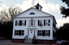 Brooklyn Green Historic Districtlisted 1982
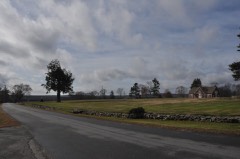 Bush Hill Historic Districtlisted 1987
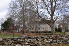 Putnam Farmlisted 1982
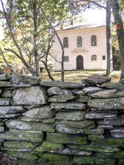 Trinity Churchlisted 1970
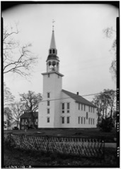 Unitarian Meetinghouselisted 1972
Population over time
2 figuresBrooklyn fell from 981 to 952 between 2010 and 2020. These are the recorded population figures Wikidata holds for this place, reached through the Geographic Names Information System number this page is keyed on rather than by name, so they belong to this place and not to another of the same name. Most are census counts, but not all are: an early figure may be a founding or settlement estimate, and an estimate published within five years of a census is left out. The change column is computed, and is left blank where more than 20 years separate a figure from the one before it, because a gap that long is not a change between two counts.
| Year | People | Change |
|---|---|---|
| 2010 | 981 | |
| 2020 | 952 | -29 (-3%) |
Topographic sheets covering this place
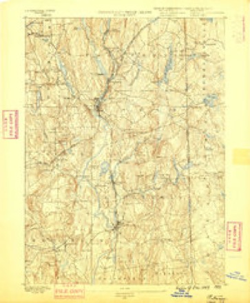
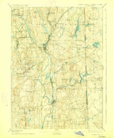
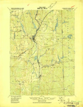
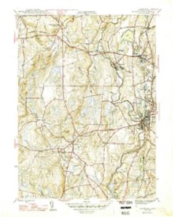
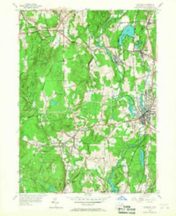
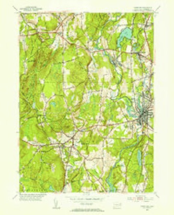
13 surveys from 30 printed sheetsMatched by testing this settlement's coordinate against the published boundary of every sheet in the United States Geological Survey's historical collection. Each opens the scanned sheet at the Survey.
- 1889 USGS Putnam quadrangle1:62500
- 1893 USGS Putnam quadrangle1:62500, 8 printings
- 1919 USGS Putnam quadrangle1:62500
- 1943 USGS Putnam quadrangle1:125000
- 1946 USGS Danielson quadrangle1:31680, 2 printings
- 1947 USGS Providence quadrangle1:250000, 5 printings
- 1948 USGS Providence quadrangle1:250000
- 1955 USGS Danielson quadrangle1:24000, 6 printings
- 1955 USGS Danielson quadrangle1:31680
- 1957 USGS Providence quadrangle1:250000
- 1958 USGS Providence quadrangle1:250000
- 1963 USGS Providence quadrangle1:250000
- 1984 USGS Providence quadrangle1:100000







In the county-history sources
29,833 words on this townshipHistory of Windham County, Connecticut .., published 1889 names this settlement in its chapter on Brooklyn Town. These are the passages that mention it, exactly as the scans read.
In 1703, Richard Adams, of Preston, obtained, for two hundred pounds, from Major Fitch, a deed of three thousand acres of wilderness land, south of Blackwell's tract. Its bound began at the junction of the Five-Mile and Quinebaug rivers, extending west on Blackwell's line to a pine tree marked B, by the side of Blackwell's brook, and beyond it ; thence south four hundred and eighty perches ; thence east to the Quinebaug, where Beaver brook empties into it. Richard Adams, Jr., appears to have made a settlement on this tract, even before the deed of conveyance was executed, and was the fi^st settler within the limits of the township granted to Blackwell, and the present, town of Brooklyn. His wife was a daughter of Daniel Cady, of Aspinock. Their homestead was in the depths of a dense wilderness, much infested with wild beasts and Indians, about a mile southeast of the site of the present Brooklyn Green. A colony of beavers held possession of the brook adjoining. Richard Adams was numbered with the inhabitants of Plainfield in 1701 ; in 1703 assisted in the organization of Canterbury, and was claimed for many years as an inhabitant of that township.
Passage source: History of Windham County, Connecticut .., published 1889.
A strip of land south of the Adams tract was purchased of Major Fitch by John Allen, of Aspinock, 1703, and conveyed by him, in 1705, to his son Isaac, who sobn took personal possession. John Woodward settled south of Allen and north of Canterbury line in 1706. In 1707 Edward Spalding, of Plainfield, bought land north of Canterbury bounds, at the foot of Tatnick hill, and there settled with his family. These four families were for several years the only white inhabitants within the limits of Blackwell's patent. Richard Adams and his neighbors were left unstated to any township for several years - a few isolated families remote from settlements and civilization. They paid rates to Canterbury and attended religious worship there when practicable. Communication with the outside world was difficult and sometimes dangerous. The road from Canterbury to Woodstock passed near Edward Spalding's house, which^ soon became a place of entertainment for travelers - his first barrel of rum coming up from Norwich on horseback, lashed between two poles and dragged behind the rider.
Passage source: History of Windham County, Connecticut .., published 1889.
The Adams tract was divided after a time into eight equal and parallel allotments, running from east to west, and made over to the seven children of Richard Adams, of Preston - Richard, Jr., receiving a deed of two lower allotments in 1712. Twentyfive hundred acres west of the Adams tract were secured by Captain John Chandler, 1707. TQhe several tracts held by Fitch, Blackwell, Stoddard and Chandler were left vacant and neglected till the death of Sir John Blackwell, when the Mortlake manor fell to his son, and was sold by him to Jonathan Belcher, of Boston, April 3d, 1713. A highway was laid out from north to south. Two noble farms or manors, called Kingswood and Wiltshire, were laid out for Mr. Belcher's own occupation. " For the promoting of public good and the better settling of the land," large tracts were sold - fourteen hundred acres on the Quinebaug to Governor Saltonstall, five hundred acres to Samuel Williams, of Roxbury, and three hundred to Mr. Belcher's brother-in-law, William Foye. A public training-field was reserved between one of Foye''s farms and Nantasket brook. About twelve hundred acres were left in forest and meadow for future disposal.
Passage source: History of Windham County, Connecticut .., published 1889.
Machine-read from a century-old scan, so expect the errors a machine makes: misspelled names, dropped words, stray characters.
Read the whole chapter on Brooklyn Town - it names this place 63 more 63 times.
Fires near this place
75 since 1993Regional context, not property-specific evidence. The federal wildfire occurrence database lists 75 fires within 5 miles of Brooklyn between 1993 and 2020, burning about 31 acres in total. None started naturally. 2 were recorded as arson. Distance is straight-line from the map coordinates, so a fire counted here may appear on a neighbouring settlement's page as well.
| Reported cause | Fires |
|---|---|
| Missing data/not specified/undetermined | 53 |
| Recreation and ceremony | 12 |
| Debris and open burning | 5 |
| Arson/incendiarism | 2 |
| Smoking | 2 |
| Power generation/transmission/distribution | 1 |
The most recent of them, most recent first, with the day each was reported and the service that recorded it.
| Date | Cause | Size | Reported by | Name on the report |
|---|---|---|---|---|
| 19 September 2020 | Missing data/not specified/undetermined | under an acre | Connecticut Division of Forestry | 1 CAPRON STREET |
| 16 September 2020 | Recreation and ceremony | under an acre | Connecticut Division of Forestry | ALAN HILL ROAD* |
| 16 September 2020 | Recreation and ceremony | under an acre | Connecticut Division of Forestry | 76 ROCK AVE |
| 15 September 2020 | Recreation and ceremony | under an acre | Connecticut Division of Forestry | ROCK AVE |
| 8 August 2016 | Missing data/not specified/undetermined | under an acre | Connecticut Division of Forestry | 1 TECHNOLOGY DR, KILLINGLY |
| 7 August 2010 | Missing data/not specified/undetermined | under an acre | Connecticut Division of Forestry | not named |
| 2 August 2020 | Missing data/not specified/undetermined | under an acre | Connecticut Division of Forestry | OLD FURNACE STATE PARK |
| 2 August 2020 | Missing data/not specified/undetermined | under an acre | Connecticut Division of Forestry | 81 ROSS ROAD |
Settlements close enough to share some of these fires:
Mines and quarries near this place
7 within 5 milesRegional context, not property-specific evidence. The federal mineral resources record lists 7 workings within 5 miles of Brooklyn: 3 producers, 3 past producers, 1 unknown. 3 still produce. What was taken out: Sand and Gravel, Construction, Stone, Crushed/Broken, Granite, Stone, Dimension. Distance is straight-line from the map coordinates, so a quarry counted here may appear on a neighbouring settlement's page as well.
| Where | Site | Commodity | Status | Recorded |
|---|---|---|---|---|
| Quarry | Stone, Dimension | Past Producer | ||
| Wauregan Quarry | Granite | Past Producer | Granite | |
| Connecticut Flat | Stone, Crushed/Broken | Past Producer | ||
| Wauregan Pit and Quarry | Stone, Crushed/Broken, Sand and Gravel, Construction | Producer | ||
| Danielson Mine | Sand and Gravel, Construction | Producer | ||
| Danielson Pit | Sand and Gravel, Construction | Unknown | ||
| Route 205 Pit | Sand and Gravel, Construction | Producer |
Storms near this place
7 since 2005Regional context, not property-specific evidence. The National Weather Service names Brooklyn in 7 storm reports between 2005 and 2025: 5 thunderstorm wind, 2 hail. No death or injury is recorded in these reports. Each account below is quoted exactly as the forecast office filed it, from the NOAA Storm Events Database, and each date opens the federal record of that event.
| When | Event | Place named | Harm | What the report says |
|---|---|---|---|---|
| July 2013 | Thunderstorm Wind | Brooklyn | $10,000 | Wires on South Street were downed by thunderstorm winds. |
| July 2006 | Thunderstorm Wind | Brooklyn | $5,000 | no account filed |
| August 2005 | Thunderstorm Wind | Brooklyn | $5,000 | no account filed |
| November 2021 | Thunderstorm Wind | Brooklyn | $1,300 | In Brooklyn, the Fire Department reported a tree and wires down on Tatnic Hill Road at Tripp Hollow Road. Also, there was a spotter report of a 10-inch diameter tree was snapped 10 to 15 feet up...but the street was unknown. |
| September 2023 | Thunderstorm Wind | East Brooklyn | $800 | In Danielson, trees and wires were downed on Wauregan Rd. |
| July 2025 | Hail | East Brooklyn | - | In Danielson, quarter sized hail fell. |
| May 2014 | Hail | Brooklyn | - | Penney to nickel size hail fell for 15 minutes. |
Nearest settlements
The eight closest, with where each one stands in the county. Distances are straight-line, computed from the Geographic Names Information System coordinates.
| Map | Place | Distance | Sheets |
|---|---|---|---|
| East Brooklyn | 2.8 miles | 30 | |
| Stetson Corner | 3.1 miles | 28 | |
| West Wauregan | 3.3 miles | 32 | |
| Quebec | 3.4 miles | 30 | |
| Danielson | 3.5 miles | 30 | |
| Wauregan | 3.7 miles | 32 | |
| Rogers | 4.3 miles | 30 | |
| Pomfret Landing | 4.3 miles | 30 |
Elsewhere
Matched on this settlement's Geographic Names Information System number rather than its name, so it cannot be a different place of the same name in another state.
| Wikipedia article on Brooklyn | An encyclopaedic summary. Its text is share-alike, so it is linked here rather than copied. |
| Wikidata item Q106538099 | The structured record the population and elevation above come from. Public domain (CC0). |
Provenance
This settlement is recorded in the Geographic Names Information System as feature 205750. The sheet list is computed by point-in-boundary test against the United States Geological Survey's historical topographic inventory. Both are works of the United States government and carry no copyright under 17 U.S.C. 105.
Wildfire. Short, Karen C. 2022. Spatial wildfire occurrence data for the United States, 1992-2020 [FPA_FOD_20221014]. 6th Edition. Fort Collins, CO: Forest Service Research Data Archive. https://doi.org/10.2737/RDS-2013-0009.6 Collected with United States Government funding and usable without additional permissions or fees.
Mines and quarries. USGS Mineral Resources Data System (MRDS) https://mrdata.usgs.gov/mrds/ A work of the United States government, no copyright under 17 U.S.C. 105.
Storms. NOAA National Centers for Environmental Information, Storm Events Database https://www.ncei.noaa.gov/stormevents/ A work of the United States government, no copyright under 17 U.S.C. 105. Narratives are quoted verbatim from the National Weather Service report and are not edited or summarised.