 Block
North Grosvenor Dale, Connecticut
29 topographic sheets cover this place, the earliest surveyed in 1889 and the latest in 1984. It stands in Thompson town. It lies in ZIP code area 06255. It stands on Backwater Brook. The Survey maps it on the Putnam quadrangle. 1,464 people lived here at the 2020 count. It stands 361 feet above sea level.
On record in North Grosvenor Dale
Buildings and businesses the archive holds for this place. Each opens its own page, with the source record it came from.
On the National Register within a mile 1 record
The National Register names another town for these. They stand within one mile of this settlement's coordinate.
 North Grosvenordale Mill Historic Disrictlisted 1993 · 0.1 miles away
Population over time
2 figuresNorth Grosvenor Dale fell from 1,530 to 1,464 between 2010 and 2020. These are the recorded population figures Wikidata holds for this place, reached through the Geographic Names Information System number this page is keyed on rather than by name, so they belong to this place and not to another of the same name. Most are census counts, but not all are: an early figure may be a founding or settlement estimate, and an estimate published within five years of a census is left out. The change column is computed, and is left blank where more than 20 years separate a figure from the one before it, because a gap that long is not a change between two counts.
| Year | People | Change |
|---|---|---|
| 2010 | 1,530 | |
| 2020 | 1,464 | -66 (-4%) |
Topographic sheets covering this place
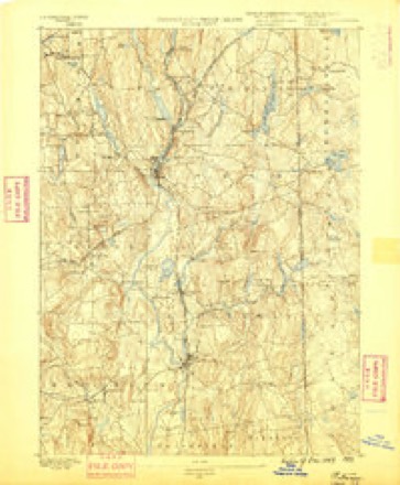
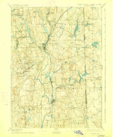
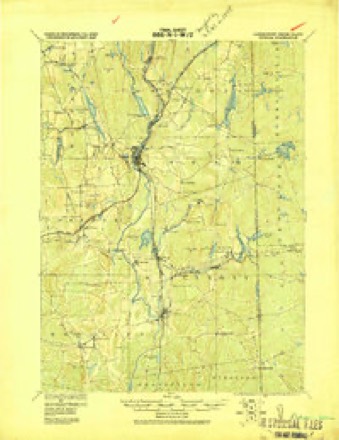
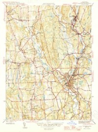
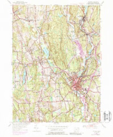
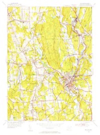
13 surveys from 29 printed sheetsMatched by testing this settlement's coordinate against the published boundary of every sheet in the United States Geological Survey's historical collection. Each opens the scanned sheet at the Survey.
- 1889 USGS Putnam quadrangle1:62500
- 1893 USGS Putnam quadrangle1:62500, 8 printings
- 1919 USGS Putnam quadrangle1:62500
- 1943 USGS Putnam quadrangle1:125000
- 1945 USGS Putnam quadrangle1:31680, 2 printings
- 1947 USGS Providence quadrangle1:250000, 5 printings
- 1948 USGS Providence quadrangle1:250000
- 1955 USGS Putnam quadrangle1:24000, 5 printings
- 1955 USGS Putnam quadrangle1:31680
- 1957 USGS Providence quadrangle1:250000
- 1958 USGS Providence quadrangle1:250000
- 1963 USGS Providence quadrangle1:250000
- 1984 USGS Providence quadrangle1:100000







In the county-history sources
62,001 words on this townshipHistory of Windham County, Connecticut .., published 1889 names this settlement in its chapter on Thompson Town. These are the passages that mention it, exactly as the scans read.
The East Thompson Methodist society, organized in a part of the town previously left out in the cold, had a hard struggle for existence in its early years. But the very difBculties in the way made its preservatien more important. With the opening of the New York and New England railroad, and its junction at East Thompson with the Southbridge Branch, population increased and the church felt a new impetus. For many years it has been a strong and active body, and enjoyed a succession of faithful and efiicient pastors. Its Sabbath school has been kept up with
Passage source: History of Windham County, Connecticut .., published 1889.
Mr. Fisher was one of the pioneer temperance workers in Connecticut, and before leaving Killingly had drawn up and circulated the first pledge taken in that town. A thriving temperance society was now established in Fisherville, and great efforts were made to bring in every person employed by the company, Mr. Fisher being able to boast on one occasion that every man hired for the year had pledged himself to temperance. Some friction was excited by Mr. Fisher's adherence to Masonry, but caused no serious inconvenience. Mr. William Fisher, Jr., and Mr. J. Ellis Fisher were able and efficient assistants in carrying forward the business - the former as superintendent, the latter in charge of the store. The oldest son. Doctor N. Augustus Fisher, left home at an early age to pursue his studies, and then engaged in the practice of dentistry in Providence. Foremost among the dentists of the day, his high character, pleasing manners, and the patience with which he bore long and wearisome infirmities, brought him even greater respect and honor.
Passage source: History of Windham County, Connecticut .., published 1889.
Mr. William Fisher, Jr., a man of great rectitude and solidity of character, died in 1843. The ill health of Mr. Ellis Fisher, following the loss of his brother, made the charge of the business too heavy for Mr. Fisher, Sr., and in 1855 he made over his interest in the whole establishment and went south for a season. The breaking out of the rebellion made this sojourn much longer than was intended, even until after the return of peace. The remainder of his life was mainly passed with his daughter, Mrs. Lowell Holbrook, at Thompson village, where he died in serene old age, with remarkable preservation of mind and faculties, in October, 1878. The family had long passed from the home they had created, but their impress and influence still survive in the pleasant valley.
Passage source: History of Windham County, Connecticut .., published 1889.
Machine-read from a century-old scan, so expect the errors a machine makes: misspelled names, dropped words, stray characters.
Read the whole chapter on Thompson Town - it names this place 7 more 7 times.
Fires near this place
172 since 1992Regional context, not property-specific evidence. The federal wildfire occurrence database lists 172 fires within 5 miles of North Grosvenor Dale between 1992 and 2020, burning about 356 acres in total. 2 started naturally. 8 were recorded as arson. Distance is straight-line from the map coordinates, so a fire counted here may appear on a neighbouring settlement's page as well.
| Reported cause | Fires |
|---|---|
| Missing data/not specified/undetermined | 108 |
| Debris and open burning | 19 |
| Recreation and ceremony | 16 |
| Misuse of fire by a minor | 11 |
| Arson/incendiarism | 8 |
| Smoking | 4 |
| Natural | 2 |
| Equipment and vehicle use | 2 |
| Railroad operations and maintenance | 1 |
| Power generation/transmission/distribution | 1 |
The most recent of them, most recent first, with the day each was reported and the service that recorded it.
| Date | Cause | Size | Reported by | Name on the report |
|---|---|---|---|---|
| 7 September 2020 | Arson/incendiarism | under an acre | Connecticut Division of Forestry | BAKER RD/QUADDICK TOWN FARM ROAD |
| 22 September 2020 | Missing data/not specified/undetermined | under an acre | Connecticut Division of Forestry | 11 HOLMES STREET |
| 20 September 2020 | Missing data/not specified/undetermined | 3.5 acres | Connecticut Division of Forestry | 78 ROCK AVE |
| 19 September 2020 | Missing data/not specified/undetermined | 2.0 acres | Connecticut Division of Forestry | 1017 RIVERSIDE DRIVE |
| 19 September 2020 | Missing data/not specified/undetermined | 1.0 acres | Connecticut Division of Forestry | 1175 RIVERSIDE DRIVE |
| 8 August 2015 | Recreation and ceremony | under an acre | Massachusetts Bureau of Forest Fire Control | not named |
| 6 August 2015 | Recreation and ceremony | under an acre | Massachusetts Bureau of Forest Fire Control | not named |
| 4 August 1993 | Equipment and vehicle use | 5.0 acres | Connecticut Division of Forestry | not named |
Settlements close enough to share some of these fires:
Mines and quarries near this place
10 of 13 shownRegional context, not property-specific evidence. The federal mineral resources record lists 13 workings within 5 miles of North Grosvenor Dale: 12 past producers, 1 producer. 1 still produces. What was taken out: Sand and Gravel, Construction, Stone, Crushed/Broken. Distance is straight-line from the map coordinates, so a quarry counted here may appear on a neighbouring settlement's page as well.
| Where | Site | Commodity | Status | Recorded |
|---|---|---|---|---|
| New Haven Traprock Co. Quarry | Stone, Crushed/Broken | Past Producer | ||
| Janeczek Pit | Sand and Gravel, Construction | Past Producer | Sedimentary | |
| Janeczek Pit | Sand and Gravel, Construction | Past Producer | ||
| Kappys Gravel Pit | Sand and Gravel, Construction | Past Producer | ||
| Kaprys Gravel Pit | Sand and Gravel, Construction | Past Producer | Sedimentary | |
| Leo Construction Co | Sand and Gravel, Construction | Past Producer | Sedimentary | |
| Minarik Pit | Sand and Gravel, Construction | Past Producer | Sedimentary | |
| Minarik Pit | Sand and Gravel, Construction | Past Producer | ||
| Sunny Shores, Inc. Pit | Sand and Gravel, Construction | Past Producer | ||
| Thompson Pit | Sand and Gravel, Construction | Past Producer | Sedimentary |
Storms near this place
4 since 2008Regional context, not property-specific evidence. The National Weather Service names North Grosvenor Dale in 4 storm reports between 2008 and 2021: 3 thunderstorm wind, 1 tornado. No death or injury is recorded in these reports. Each account below is quoted exactly as the forecast office filed it, from the NOAA Storm Events Database, and each date opens the federal record of that event.
| When | Event | Place named | Harm | What the report says |
|---|---|---|---|---|
| August 2021 | Tornado (EF0) | North Grosvenor Dale | $15,000 | A weak tornado touched town in the town of |Thompson in northern Windham County, Connecticut. A NWS |meteorologist conducted a storm survey following tips from amateur |radio operators and local broadcast meteorologists. The following |information summarizes all of the reports. ||The tornado touched down near a red barn near the intersection of |Quinebaug Road (Route 131) and Riverside Drive (Route 12). It was |reported to be about 50 yards wide and tracked northeastward in a |discontinuous path, impacting areas just south of Ryler Court at |Riverside Drive, Wilsonville Road, Wagher Road, and Denis Drive at |Labby Road. It then crossed the Massachusetts/Connecticut state |line and ended as a waterspout in Lake Chaubunagungamaug. Although |discontinuous, the total path length was 4.7 miles. The approximate |path width was 50 yards. Damage photos led to estimates of maximum |wind speeds of 80 to 85 mph, which puts this on the upper end of |the EF0 category of the Enhanced Fujita Scale. The time, based on |radar and eyewitness accounts, was from 1015 AM to 1024 AM EDT. ||More specifically, when the tornado touched down near Backwater |Brook, it snapped several trees in half in a convergent fashion. |It caused minor backyard damage at a nearby property before felling |numerous trees and power lines near the intersection of Riverside |Drive and Ryler Court. Tree damage was also reported at Wilsonville |Road and several trees were snapped in the backyard of a house near |Wagher Road and Forest Hill Drive. A tree was partially snapped near |Denis Drive at Labby Road before causing minor damage near Woods |Grove. Finally, multiple residents witnessed a waterspout over Lake |Chaubunagungamaug before dissipating near Killdeer Island. |
| July 2010 | Thunderstorm Wind | North Grosvenor Dale | $10,000 | Several trees were downed by thunderstorm winds, including one on Pompeo Road and another on Bully Hill Road. |
| July 2021 | Thunderstorm Wind | North Grosvenor Dale | $1,000 | In the North Grosvenor Dale section of Thompson, trees and wires were down on Riverside Drive. |
| April 2008 | Thunderstorm Wind | North Grosvenor Dale | - | An amateur radio operator recorded a wind gust of 59 mph on a home weather station. No damage was reported. |
Nearest settlements
The eight closest, with where each one stands in the county. Distances are straight-line, computed from the Geographic Names Information System coordinates.
| Map | Place | Distance | Sheets |
|---|---|---|---|
| Grosvenor Dale | 1.2 miles | 29 | |
| Wilsonville | 1.9 miles | 42 | |
| Thompson | 2.7 miles | 23 | |
| West Thompson | 2.9 miles | 29 | |
| Fabyan | 2.9 miles | 42 | |
| Mechanicsville | 3.2 miles | 29 | |
| Quinebaug | 3.8 miles | 42 | |
| Roseland Park | 3.9 miles | 29 |
Elsewhere
Matched on this settlement's Geographic Names Information System number rather than its name, so it cannot be a different place of the same name in another state.
| Wikipedia article on North Grosvenor Dale | An encyclopaedic summary. Its text is share-alike, so it is linked here rather than copied. |
| Wikidata item Q734055 | The structured record the population and elevation above come from. Public domain (CC0). |
Provenance
This settlement is recorded in the Geographic Names Information System as feature 209356. The sheet list is computed by point-in-boundary test against the United States Geological Survey's historical topographic inventory. Both are works of the United States government and carry no copyright under 17 U.S.C. 105.
Wildfire. Short, Karen C. 2022. Spatial wildfire occurrence data for the United States, 1992-2020 [FPA_FOD_20221014]. 6th Edition. Fort Collins, CO: Forest Service Research Data Archive. https://doi.org/10.2737/RDS-2013-0009.6 Collected with United States Government funding and usable without additional permissions or fees.
Mines and quarries. USGS Mineral Resources Data System (MRDS) https://mrdata.usgs.gov/mrds/ A work of the United States government, no copyright under 17 U.S.C. 105.
Storms. NOAA National Centers for Environmental Information, Storm Events Database https://www.ncei.noaa.gov/stormevents/ A work of the United States government, no copyright under 17 U.S.C. 105. Narratives are quoted verbatim from the National Weather Service report and are not edited or summarised.