 Block
Mechanicsville, Connecticut
29 topographic sheets cover this place, the earliest surveyed in 1889 and the latest in 1984. It stands in Thompson town. It lies in ZIP code area 06277. It stands on French River. The Survey maps it on the Putnam quadrangle. 540 people lived here at the 2020 count. It stands 338 feet above sea level.
On record in Mechanicsville
Buildings and businesses the archive holds for this place. Each opens its own page, with the source record it came from.
On the National Register within a mile 1 record
The National Register names another town for these. They stand within one mile of this settlement's coordinate.
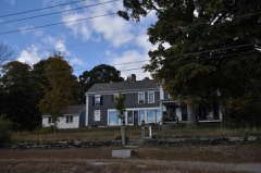 George Pickering Nichols Houselisted 1991 · 0.7 miles away
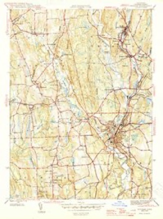
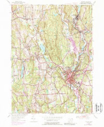
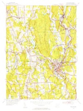
Topographic sheets covering this place
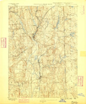
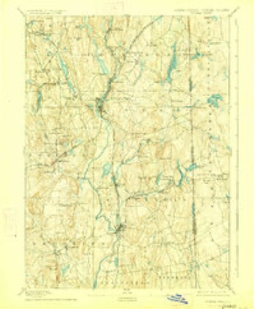
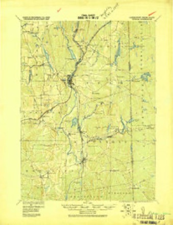
13 surveys from 29 printed sheetsMatched by testing this settlement's coordinate against the published boundary of every sheet in the United States Geological Survey's historical collection. Each opens the scanned sheet at the Survey.
- 1889 USGS Putnam quadrangle1:62500
- 1893 USGS Putnam quadrangle1:62500, 8 printings
- 1919 USGS Putnam quadrangle1:62500
- 1943 USGS Putnam quadrangle1:125000
- 1945 USGS Putnam quadrangle1:31680, 2 printings
- 1947 USGS Providence quadrangle1:250000, 5 printings
- 1948 USGS Providence quadrangle1:250000
- 1955 USGS Putnam quadrangle1:24000, 5 printings
- 1955 USGS Putnam quadrangle1:31680
- 1957 USGS Providence quadrangle1:250000
- 1958 USGS Providence quadrangle1:250000
- 1963 USGS Providence quadrangle1:250000
- 1984 USGS Providence quadrangle1:100000







In the county-history sources
62,001 words on this townshipHistory of Windham County, Connecticut .., published 1889 names this settlement in its chapter on Thompson Town. These are the passages that mention it, exactly as the scans read.
The first regular settler in the northwest of Thompson was a man of much character and influence, Samuel Morris, son of Edward Morris, of Woodstock, who purchased fifteen hundred acres of the Dudley land on the Quinebaug in 1714. The " old Connecticut Path," long the chief thoroughfare of travel between Boston and southern colonies, ran past his dwelling house and through a mile of his estate. One of his first achievements was to bridge the turbulent and troublesome Quinebaug, then greatly addicted to freshets. He also built two smaller bridges over tributaries, expended time and labor in clearing out the channel of the river, and greatly improved the road and kept it in order. His energy-and prowess gave him great influence over his Indian neighbors of Woodstock and the reservation northward, who honored him with the title of governor. Governor Morris was emphatically the great man of this section, and it was said that a blast from his conch-shell would bring a hundred Indians to his aid. Wild land south of the Morris farm, west of the Quinebaug, was owned and settled by Woodstock residents. The first to take possession were John Dwight, John Corbin and Penuel Child. Freak's farm, on Quinnatisset hill, passed on to Josiah Wolcott, of Salem, and his wife, Mary, niece of the original proprietor. In 1716 Wolcott, for ^200, conveyed four hundred acres on the summit of this hill to Captain John
Passage source: History of Windham County, Connecticut .., published 1889.
Thus organized and equipped,the North society began its career, and joyfully entered upon the task of collecting and preparing timber for the much-desired meeting house. Deprived for so many years of ordinary religious and civil privileges, this happy set- tlement and hopeful prospect was a matter of great rejoicing. In no other precinct or town within the county was this meeting house work carried on with such alacrity and harmony. " The people's hearts were stirred up and they willingly offered themselves." The little word " our " prefixed to all meeting house votes pleasantly indicates a personal sense of proprietorship. All over the large parish men and teams were busily at work. Giant oaks were levelled, hewn and hauled over the rough ways to the appointed site. So earnest and.vigorous were the workers, that by November 15th, the society was called "to consider how and in what method we shall proceed in order for making preparation for the raising our meeting house." The method adopted was, " That every man in said society shall have liberty to bring in provisions and drink what may be thought his proportion." John Dwight, Benjamin Bixby, Hezekiah Sabin, Edward Converse, Jonathan Clough and Sampson Howe were appointed a committee to take care to provide for the raising. Under such auspices the work was triumphantly accomplished - the first great gathering assembled on Thompson hill.
Passage source: History of Windham County, Connecticut .., published 1889.
Preparations were at once made for church organization and ordination. Platform, pulpit and deacon's seats were provided, neighboring ministers visited and consulted. January 28th, 1730 (O. S.), was kept as a day of fasting and prayer. Services were held morning and afternoon, conducted by Reverend John Fisk of Killingly, Reverend Ebenezer Williams of Pomfret, Reverend Amos Throop, Woodstock, and before the large assembly was dismissed, " We were incorporated and formed into a distinct church by having the church covenant read and owning our consent to it." The constituent members of the church in Thompson parish, known as the Second church of Killingly, were : Marston Cabot, pastor elect, Samuel Converse, James Wilson, John Wiley, Benjamin Bixby, Israel Joslin, Sampson Howe, John Russel, Jonathan Clough, Nathaniel Merrill, Hezekiah Sabin, Edward Converse, Nathaniel Johnson, Ivory Upham, Robert Plank, John Bowers, Ephraim Guile, Henry Green, Benjamin Pudney, Comfort Starr, John Barrett, Richard Bloss, Jonathan Eaton, David Shapley, Thomas Whittemore, Jr., Thomas Converse, Eleazer Green, Samuel Narramore. February 25th the same honored ministers, together with Reverend Messrs. Coit of Plainfield, and Hale of Ashford, assisted in the ordination of Mr. Cabot. Jonathan Eaton and Benjamin Bixby were soon after elected deacons.
Passage source: History of Windham County, Connecticut .., published 1889.
Machine-read from a century-old scan, so expect the errors a machine makes: misspelled names, dropped words, stray characters.
Read the whole chapter on Thompson Town - it names this place 11 more 11 times.
Fires near this place
172 since 1992Regional context, not property-specific evidence. The federal wildfire occurrence database lists 172 fires within 5 miles of Mechanicsville between 1992 and 2020, burning about 369 acres in total. 2 started naturally. 8 were recorded as arson. Distance is straight-line from the map coordinates, so a fire counted here may appear on a neighbouring settlement's page as well.
| Reported cause | Fires |
|---|---|
| Missing data/not specified/undetermined | 120 |
| Debris and open burning | 14 |
| Recreation and ceremony | 12 |
| Misuse of fire by a minor | 11 |
| Arson/incendiarism | 8 |
| Natural | 2 |
| Smoking | 2 |
| Equipment and vehicle use | 2 |
| Railroad operations and maintenance | 1 |
The most recent of them, most recent first, with the day each was reported and the service that recorded it.
| Date | Cause | Size | Reported by | Name on the report |
|---|---|---|---|---|
| 7 September 2020 | Arson/incendiarism | under an acre | Connecticut Division of Forestry | BAKER RD/QUADDICK TOWN FARM ROAD |
| 22 September 2020 | Missing data/not specified/undetermined | under an acre | Connecticut Division of Forestry | 11 HOLMES STREET |
| 20 September 2020 | Missing data/not specified/undetermined | 3.5 acres | Connecticut Division of Forestry | 78 ROCK AVE |
| 19 September 2020 | Missing data/not specified/undetermined | 2.0 acres | Connecticut Division of Forestry | 1017 RIVERSIDE DRIVE |
| 19 September 2020 | Missing data/not specified/undetermined | 1.0 acres | Connecticut Division of Forestry | 1175 RIVERSIDE DRIVE |
| 15 September 2020 | Missing data/not specified/undetermined | under an acre | Connecticut Division of Forestry | 15 RIDGE ROAD |
| 7 August 2020 | Missing data/not specified/undetermined | under an acre | Connecticut Division of Forestry | I395 S EX47 |
| 5 August 2020 | Missing data/not specified/undetermined | under an acre | Connecticut Division of Forestry | 631 POMFRET STREET |
Settlements close enough to share some of these fires:
Mines and quarries near this place
7 within 5 milesRegional context, not property-specific evidence. The federal mineral resources record lists 7 workings within 5 miles of Mechanicsville: 3 past producers, 3 producers, 1 unknown. 3 still produce. What was taken out: Sand and Gravel, Construction. Distance is straight-line from the map coordinates, so a quarry counted here may appear on a neighbouring settlement's page as well.
| Where | Site | Commodity | Status | Recorded |
|---|---|---|---|---|
| Garvey Pit | Sand and Gravel, Construction | Past Producer | Sedimentary | |
| Garvey Pit | Sand and Gravel, Construction | Producer | ||
| Kappys Gravel Pit | Sand and Gravel, Construction | Past Producer | ||
| Kaprys Gravel Pit | Sand and Gravel, Construction | Past Producer | Sedimentary | |
| Munyon Road Pit | Sand and Gravel, Construction | Producer | ||
| R.A. Rawson Sand & Gravel, Inc. | Sand and Gravel, Construction | Unknown | ||
| Townfarm Road Pit | Sand and Gravel, Construction | Producer |
Storms near this place
1 since 2019Regional context, not property-specific evidence. The National Weather Service names Mechanicsville in 1 storm report in 2019: 1 flood. No death or injury is recorded in these reports. Each account below is quoted exactly as the forecast office filed it, from the NOAA Storm Events Database, and each date opens the federal record of that event.
| When | Event | Place named | Harm | What the report says |
|---|---|---|---|---|
| July 2019 | Flood | Mechanicsville | - | In Putnam, the Walmart parking lot at School Street was flooded with 6 to 8 inches of water, as was Church Street, in front of the fire station (in scattered spots). |
Nearest settlements
The eight closest, with where each one stands in the county. Distances are straight-line, computed from the Geographic Names Information System coordinates.
| Map | Place | Distance | Sheets |
|---|---|---|---|
| West Thompson | 1.0 miles | 29 | |
| Putnam | 1.9 miles | 29 | |
| Grosvenor Dale | 2.0 miles | 29 | |
| Thompson | 2.1 miles | 23 | |
| Harrisville | 2.5 miles | 29 | |
| North Grosvenor Dale | 3.2 miles | 29 | |
| Roseland Park | 3.4 miles | 29 | |
| South Woodstock | 3.5 miles | 29 |
Elsewhere
Matched on this settlement's Geographic Names Information System number rather than its name, so it cannot be a different place of the same name in another state.
| Wikipedia article on Mechanicsville | An encyclopaedic summary. Its text is share-alike, so it is linked here rather than copied. |
| Wikidata item Q106538031 | The structured record the population and elevation above come from. Public domain (CC0). |
Provenance
This settlement is recorded in the Geographic Names Information System as feature 208811. The sheet list is computed by point-in-boundary test against the United States Geological Survey's historical topographic inventory. Both are works of the United States government and carry no copyright under 17 U.S.C. 105.
Wildfire. Short, Karen C. 2022. Spatial wildfire occurrence data for the United States, 1992-2020 [FPA_FOD_20221014]. 6th Edition. Fort Collins, CO: Forest Service Research Data Archive. https://doi.org/10.2737/RDS-2013-0009.6 Collected with United States Government funding and usable without additional permissions or fees.
Mines and quarries. USGS Mineral Resources Data System (MRDS) https://mrdata.usgs.gov/mrds/ A work of the United States government, no copyright under 17 U.S.C. 105.
Storms. NOAA National Centers for Environmental Information, Storm Events Database https://www.ncei.noaa.gov/stormevents/ A work of the United States government, no copyright under 17 U.S.C. 105. Narratives are quoted verbatim from the National Weather Service report and are not edited or summarised.