 Block
West Thompson, Connecticut
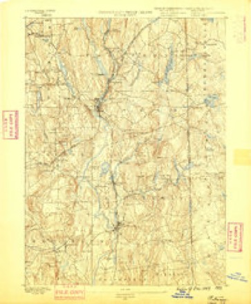
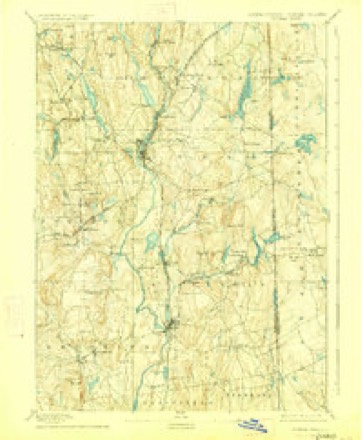
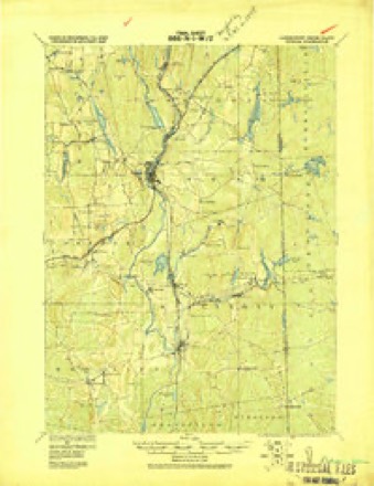
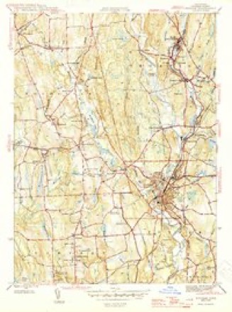
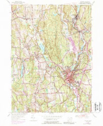
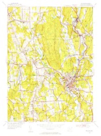
29 topographic sheets cover this place, the earliest surveyed in 1889 and the latest in 1984. It stands in Thompson town. It lies in ZIP code area 06277. It stands on French River. The Survey maps it on the Putnam quadrangle.
Topographic sheets covering this place
13 surveys from 29 printed sheetsMatched by testing this settlement's coordinate against the published boundary of every sheet in the United States Geological Survey's historical collection. Each opens the scanned sheet at the Survey.
- 1889 USGS Putnam quadrangle1:62500
- 1893 USGS Putnam quadrangle1:62500, 8 printings
- 1919 USGS Putnam quadrangle1:62500
- 1943 USGS Putnam quadrangle1:125000
- 1945 USGS Putnam quadrangle1:31680, 2 printings
- 1947 USGS Providence quadrangle1:250000, 5 printings
- 1948 USGS Providence quadrangle1:250000
- 1955 USGS Putnam quadrangle1:24000, 5 printings
- 1955 USGS Putnam quadrangle1:31680
- 1957 USGS Providence quadrangle1:250000
- 1958 USGS Providence quadrangle1:250000
- 1963 USGS Providence quadrangle1:250000
- 1984 USGS Providence quadrangle1:100000







In the county-history sources
62,001 words on this townshipHistory of Windham County, Connecticut .., published 1889 names this settlement in its chapter on Thompson Town. These are the passages that mention it, exactly as the scans read.
Indians. This land was immediately made over to the Massachusetts agents, Messrs Stoughton and Dudley, and soon after sold to non-resident English gentlemen. June 18th, 1683, two thousand acres of " forest land in the Nipmuck Country," including the present Thompson hill and surrounding land, was conveyed to Thomas Freak, Hamington, Wells county, England, and a two thousand acre tract, east of the above, was soon after sold to vSir Robert Thompson, North Newington, Middlesex, England - the initial bound between the tracts running through the cellar of the old fort. Another large slice of the Indian reservation, east of the Quinebaug or Myanexet, now occupied by New Boston village, was secured by Joseph Dudley, and smaller farms by other non-residents. These farms were all laid out in 1684, the earliest of any in Windham county, but owing to the uncertain tenure of the land, they were not improved for many years. The survey under which Massachusetts claimed Quinnatisset and the adjacent Senexet (now Woodstock) was clearly erroneous. Woodward and Saffery's line, dividing Massachusetts and Connecticut colonies, deflected southward six or eight miles, striking the Connecticut river at Windsor. The protracted boundary quarrel greatly discouraged settlement, and it was not till after 1713, when Massachusetts consented to rectify the line provided she could keep all the towns she had settled, that much progress was made. The township of Killingly had meanwhile been settled and organized, and as it was certain that Connecticut's claim would ultimately prevail, a few settlers had straggled in north of that town.
Passage source: History of Windham County, Connecticut .., published 1889.
The first known and datable settler within the limits of the present Thompson was Richard Dresser, of Rowley, Mass., who in 1707 purchased " the place called Nashaway," a beautiful farm west of the Quinebaug, at its junction with the French river, a little south of the present Mechanicsville. His son Jacob, born in 1710, was the first white boy born upon Thompson territory. Sampson Howe followed the next year, settling between the rivers. Farther north, between the rivers, land was taken up by Isaac Jewett and John Younglove, whose premises were so infested with bears, wolves and Indians, that a log fort or garrison was needed for protection. The first settler in the vicinity of Quinnatisset hill was Samuel Converse, of Woburn, who, with wife and four sons, in 1710 took possession of what was known as the Quinnatisset farm, about a mile south of the hill (now occupied by Mr. Stephen Ballard). Mr. Converse was a man of middle age and excellent position and character, and was long regarded as the father of the growing settlement. His residence was the first south of the great wilderness between the colonies, traversed yet only by blazed paths, and served as a welcome resting place to many a wearied traveler. On the doubtful border-land adjacent Killingly the first settler was Richard Evans, as early as in 1693. His establishment, with "tenement of houses, barn, orchard, tanning pits and fulling mill," was purchased by Simon Bryant, of Braintree, in 1713, the happy father of seven blooming and capable daughters, the future mothers of many a Thompson family. The oldest daughter, Hannah, married her neighbor, William Larned, another early settler in this vicinity. Thomas Whitmore, James Wilson, Joseph Cady, Samuel Lee, Jonathan Hughes, were among the early residents of this old "South Neighborhood " very prominent in Thompson affairs, although their various farms and homesteads are now within the limits of Putnam.
Passage source: History of Windham County, Connecticut .., published 1889.
Sabin, first settler of Pomfret, agreeing " to defend said Sabin in quiet and peaceable possession of the premises, so that he be not forcibly ejected." With this guaranty, Captain Sabin's son Hezekiah took possession of the present Thompson hill and soon put up a large frame house, known even within the present century as " the old Red Tavern." This tavern soon became a place of familiar resort, especially when a country road was laid over the hill, accommodating Plainfield and Killingly with more direct communication with Boston. Along the French or Little Quinebaug settlers had already gathered, viz., David Shapley, Samuel Davis, James Hosmer, Nathaniel Crosby, Henry Ellithorpe.
Passage source: History of Windham County, Connecticut .., published 1889.
Machine-read from a century-old scan, so expect the errors a machine makes: misspelled names, dropped words, stray characters.
Read the whole chapter on Thompson Town - it names this place 19 more 19 times.
Fires near this place
170 since 1992Regional context, not property-specific evidence. The federal wildfire occurrence database lists 170 fires within 5 miles of West Thompson between 1992 and 2020, burning about 367 acres in total. 2 started naturally. 8 were recorded as arson. Distance is straight-line from the map coordinates, so a fire counted here may appear on a neighbouring settlement's page as well.
| Reported cause | Fires |
|---|---|
| Missing data/not specified/undetermined | 118 |
| Debris and open burning | 14 |
| Recreation and ceremony | 12 |
| Misuse of fire by a minor | 11 |
| Arson/incendiarism | 8 |
| Natural | 2 |
| Smoking | 2 |
| Equipment and vehicle use | 2 |
| Railroad operations and maintenance | 1 |
The most recent of them, most recent first, with the day each was reported and the service that recorded it.
| Date | Cause | Size | Reported by | Name on the report |
|---|---|---|---|---|
| 7 September 2020 | Arson/incendiarism | under an acre | Connecticut Division of Forestry | BAKER RD/QUADDICK TOWN FARM ROAD |
| 22 September 2020 | Missing data/not specified/undetermined | under an acre | Connecticut Division of Forestry | 11 HOLMES STREET |
| 20 September 2020 | Missing data/not specified/undetermined | 3.5 acres | Connecticut Division of Forestry | 78 ROCK AVE |
| 19 September 2020 | Missing data/not specified/undetermined | 2.0 acres | Connecticut Division of Forestry | 1017 RIVERSIDE DRIVE |
| 19 September 2020 | Missing data/not specified/undetermined | 1.0 acres | Connecticut Division of Forestry | 1175 RIVERSIDE DRIVE |
| 15 September 2020 | Missing data/not specified/undetermined | under an acre | Connecticut Division of Forestry | 15 RIDGE ROAD |
| 7 August 2020 | Missing data/not specified/undetermined | under an acre | Connecticut Division of Forestry | I395 S EX47 |
| 5 August 2020 | Missing data/not specified/undetermined | under an acre | Connecticut Division of Forestry | 631 POMFRET STREET |
Settlements close enough to share some of these fires:
Mines and quarries near this place
7 within 5 milesRegional context, not property-specific evidence. The federal mineral resources record lists 7 workings within 5 miles of West Thompson: 4 past producers, 2 producers, 1 unknown. 2 still produce. What was taken out: Sand and Gravel, Construction. Distance is straight-line from the map coordinates, so a quarry counted here may appear on a neighbouring settlement's page as well.
| Where | Site | Commodity | Status | Recorded |
|---|---|---|---|---|
| Kappys Gravel Pit | Sand and Gravel, Construction | Past Producer | ||
| Kaprys Gravel Pit | Sand and Gravel, Construction | Past Producer | Sedimentary | |
| Munyon Road Pit | Sand and Gravel, Construction | Producer | ||
| R.A. Rawson Sand & Gravel, Inc. | Sand and Gravel, Construction | Unknown | ||
| Thompson Pit | Sand and Gravel, Construction | Past Producer | Sedimentary | |
| Thompson Pit | Sand and Gravel, Construction | Past Producer | ||
| Townfarm Road Pit | Sand and Gravel, Construction | Producer |
Storms near this place
1 since 2020Regional context, not property-specific evidence. The National Weather Service names West Thompson in 1 storm report in 2020: 1 thunderstorm wind. No death or injury is recorded in these reports. Each account below is quoted exactly as the forecast office filed it, from the NOAA Storm Events Database, and each date opens the federal record of that event.
| When | Event | Place named | Harm | What the report says |
|---|---|---|---|---|
| June 2020 | Thunderstorm Wind | West Thompson | $4,000 | In Putnam, a tree was down on a house on Viens Street. Also, wires were downed by wind on Grove Street. |
Nearest settlements
The eight closest, with where each one stands in the county. Distances are straight-line, computed from the Geographic Names Information System coordinates.
| Map | Place | Distance | Sheets |
|---|---|---|---|
| Mechanicsville | 1.0 miles | 29 | |
| Grosvenor Dale | 1.8 miles | 29 | |
| Harrisville | 1.9 miles | 29 | |
| Putnam | 2.1 miles | 29 | |
| Roseland Park | 2.4 miles | 29 | |
| South Woodstock | 2.6 miles | 29 | |
| Thompson | 2.7 miles | 23 | |
| North Grosvenor Dale | 2.9 miles | 29 |
Provenance
This settlement is recorded in the Geographic Names Information System as feature 212593. The sheet list is computed by point-in-boundary test against the United States Geological Survey's historical topographic inventory. Both are works of the United States government and carry no copyright under 17 U.S.C. 105.
Wildfire. Short, Karen C. 2022. Spatial wildfire occurrence data for the United States, 1992-2020 [FPA_FOD_20221014]. 6th Edition. Fort Collins, CO: Forest Service Research Data Archive. https://doi.org/10.2737/RDS-2013-0009.6 Collected with United States Government funding and usable without additional permissions or fees.
Mines and quarries. USGS Mineral Resources Data System (MRDS) https://mrdata.usgs.gov/mrds/ A work of the United States government, no copyright under 17 U.S.C. 105.
Storms. NOAA National Centers for Environmental Information, Storm Events Database https://www.ncei.noaa.gov/stormevents/ A work of the United States government, no copyright under 17 U.S.C. 105. Narratives are quoted verbatim from the National Weather Service report and are not edited or summarised.