 Block
Grosvenor Dale, Connecticut
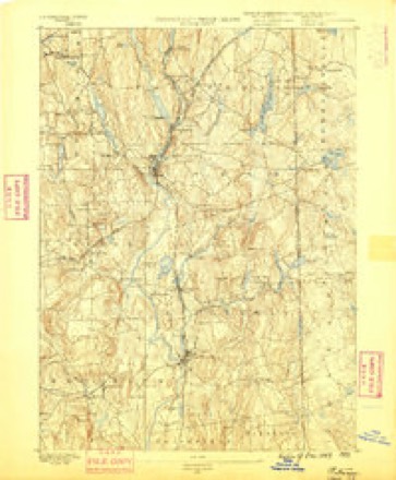
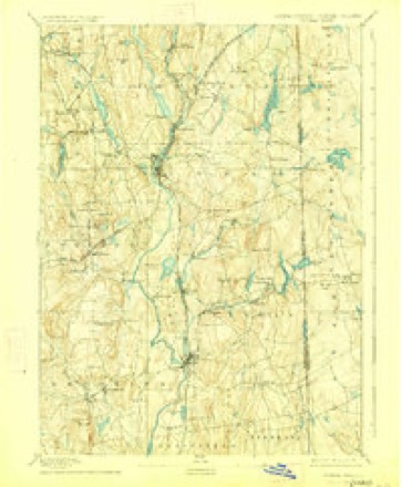
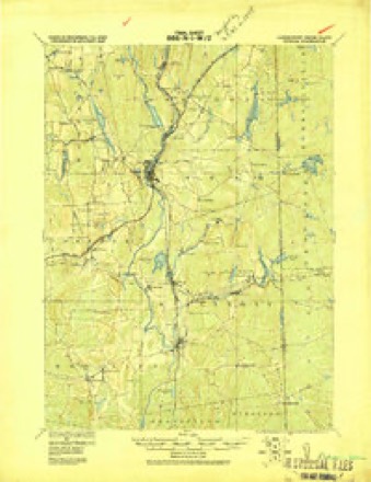
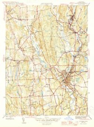
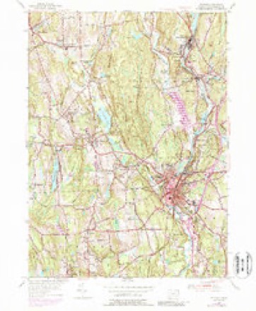
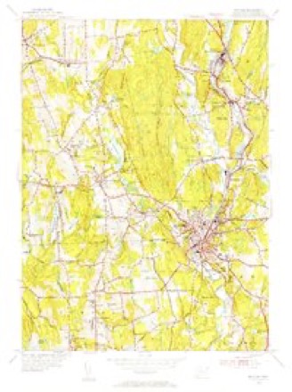
29 topographic sheets cover this place, the earliest surveyed in 1889 and the latest in 1984. It stands in Thompson town. It lies in ZIP code area 06255. It lies near Depot Hill. The Survey maps it on the Putnam quadrangle. It stands 374 feet above sea level.
Topographic sheets covering this place
13 surveys from 29 printed sheetsMatched by testing this settlement's coordinate against the published boundary of every sheet in the United States Geological Survey's historical collection. Each opens the scanned sheet at the Survey.
- 1889 USGS Putnam quadrangle1:62500
- 1893 USGS Putnam quadrangle1:62500, 8 printings
- 1919 USGS Putnam quadrangle1:62500
- 1943 USGS Putnam quadrangle1:125000
- 1945 USGS Putnam quadrangle1:31680, 2 printings
- 1947 USGS Providence quadrangle1:250000, 5 printings
- 1948 USGS Providence quadrangle1:250000
- 1955 USGS Putnam quadrangle1:24000, 5 printings
- 1955 USGS Putnam quadrangle1:31680
- 1957 USGS Providence quadrangle1:250000
- 1958 USGS Providence quadrangle1:250000
- 1963 USGS Providence quadrangle1:250000
- 1984 USGS Providence quadrangle1:100000







In the county-history sources
62,001 words on this townshipHistory of Windham County, Connecticut .., published 1889 names this settlement in its chapter on Thompson Town. These are the passages that mention it, exactly as the scans read.
Stock, below the site of the present New Boston. There was also the road from Plainfield, a wretched "old gangway," as it was sometimes called, very nearly corresponding with the present north and south road through the town. The entire lack of all other accommodations may be gathered from the universal cry that arose from all sections simultaneously, for " roads to Thompson meeting house " when that edifice was opened for public worship. They seemed demanded not merely as a matter of convenience, but out of respect to the day and occasion. Homemade, trodden-out paths might answer forgoing to mill and visiting neighbors, but a special "go-to-meeting" road seemed as indispensable as Sunday clothes. The only apparent use for a road was " to travel to Thompson meeting house " upon ; at least no other object was hinted at in the numerous petitions with which Killingly was deluged. The selectmen of this town, only too happy to exercise authority over this coveted section, appointed a committee in 1730 to go to the parish of Thompson and to take a view and see what ways they need to go to their meeting house, and lay out what they think best, modifying this order by the subsequent vote - " That for the future every person that shall move to this town to have any way altered or removed, it shall be done at the petitioner's cost and charge." So arduous was the task laid upon the committee, so large the number of roads demanded, and so difficult of manufacture, that it seemed quite unable to grapple with it, and in the great majority of cases simply confirmed the roads " as trod out," or made slight alterations and improvements. Among the roads thus altered was the one " beginning west side of Quinebaug River, near Mrs. Dresser's, and on between Captain Howe's house and barn to the French River . . . and so as the road is now trod to ye meeting house " - varying little from the present road to West Thompson.
Passage source: History of Windham County, Connecticut .., published 1889.
Thus happily settled, Thompson parish pursued its way peacefully and prosperously. Its parochial affairs were well administered, and it bore a fair part of town burdens. Simon Bryant, John Dwight, Hezekiah Sabin, Jonathan Clough, Joseph Cady, Jedidiah and Urian Hosmer and Penuel Child were sent successively as deputies to the general assembly. Jacob Dresser was elected town clerk of Killingly in 1744. William Larned managed so well as treasurer of the town that he was voted a special payment for his services. Samuel Morris, in consideration of his maintaining roads and bridges, was exempt for life from toAvn and country taxes. As the fathers passed away they were succeeded by their sons or competent new settlers. Sampson Howe died in 1736, and was succeeded as clerk and captain by Joseph Cady, the richest man in the vicinity. In 1742 Jacob Dresser was chosen society clerk, and John Dwight captain of the company. Jonathan Clough and William Larned succeeded in office Deacons Eaton and Bixby. Penuel Child was appointed in 1742 to serve in the new office of " querister." The Reverend Mr. Cabot, after a faithful and successful pastorate, died in charge in 17C6, stricken with apoplexy in his own pulpit while preaching.
Passage source: History of Windham County, Connecticut .., published 1889.
Business was made much more lively but town expenses proportionately increased. The proposal to lay out another turnpike from Rhode Island line to Dudley, east and west through the town, met with strong opposition from reluctant tax-payers. A committ^ee was appointed to lay out such road - Captain Jonathan Nichols, Simon Davis and Roger Elliott to wait upon them. The town rejected their report and refused liberty to begin the road. After some years' effort the town refrained from opposing petition. Elijah Crosby, Joseph Watson, Nathaniel Jacobs, Peleg Corbin, Thomas Chaffee, Noadiah Russel, John Nichols, and associates were thereupon incorporated as "The Thompson Turnpike Company," in 1803, and a second turnpike was soon opened, becoming a main thoroughfare of travel between Providence and Springfield, intersecting the Boston turnpike on Thompson hill. Stages were run daily over both lines, and a vast amount of travel and teaming passed over them. A third turnpike was at about the same date constructed in the south part of the town, known as the Woodstock and Thompson turnpike, furnishing another route to Providence, and connecting westward with Somers. These enterprises brought heavy bills of expense upon the town, increasing the annual outlay from seven or eight hundred dollars to over two thousand ; but by care and larger assessments all debts were paid, and in 1810 and 1811 expenses had dropped down to less than a thousand dollars, with a balance in the treasury. Nathaniel Mills succeeded as town clerk and treasurer in 1798, serving faithfully many years.
Passage source: History of Windham County, Connecticut .., published 1889.
Machine-read from a century-old scan, so expect the errors a machine makes: misspelled names, dropped words, stray characters.
Read the whole chapter on Thompson Town - it names this place 22 more 22 times.
Fires near this place
161 since 1992Regional context, not property-specific evidence. The federal wildfire occurrence database lists 161 fires within 5 miles of Grosvenor Dale between 1992 and 2020, burning about 356 acres in total. 2 started naturally. 9 were recorded as arson. Distance is straight-line from the map coordinates, so a fire counted here may appear on a neighbouring settlement's page as well.
| Reported cause | Fires |
|---|---|
| Missing data/not specified/undetermined | 111 |
| Debris and open burning | 12 |
| Misuse of fire by a minor | 11 |
| Recreation and ceremony | 10 |
| Arson/incendiarism | 9 |
| Natural | 2 |
| Smoking | 2 |
| Equipment and vehicle use | 2 |
| Railroad operations and maintenance | 1 |
| Power generation/transmission/distribution | 1 |
The most recent of them, most recent first, with the day each was reported and the service that recorded it.
| Date | Cause | Size | Reported by | Name on the report |
|---|---|---|---|---|
| 7 September 2020 | Arson/incendiarism | under an acre | Connecticut Division of Forestry | BAKER RD/QUADDICK TOWN FARM ROAD |
| 22 September 2020 | Missing data/not specified/undetermined | under an acre | Connecticut Division of Forestry | 11 HOLMES STREET |
| 20 September 2020 | Missing data/not specified/undetermined | 3.5 acres | Connecticut Division of Forestry | 78 ROCK AVE |
| 19 September 2020 | Missing data/not specified/undetermined | 2.0 acres | Connecticut Division of Forestry | 1017 RIVERSIDE DRIVE |
| 19 September 2020 | Missing data/not specified/undetermined | 1.0 acres | Connecticut Division of Forestry | 1175 RIVERSIDE DRIVE |
| 7 August 2020 | Missing data/not specified/undetermined | under an acre | Connecticut Division of Forestry | I395 S EX47 |
| 4 August 1993 | Equipment and vehicle use | 5.0 acres | Connecticut Division of Forestry | not named |
| 26 August 1995 | Arson/incendiarism | under an acre | Connecticut Division of Forestry | not named |
Settlements close enough to share some of these fires:
Mines and quarries near this place
10 of 12 shownRegional context, not property-specific evidence. The federal mineral resources record lists 12 workings within 5 miles of Grosvenor Dale: 9 past producers, 2 producers, 1 unknown. 2 still produce. What was taken out: Sand and Gravel, Construction, Stone, Crushed/Broken. Distance is straight-line from the map coordinates, so a quarry counted here may appear on a neighbouring settlement's page as well.
| Where | Site | Commodity | Status | Recorded |
|---|---|---|---|---|
| New Haven Traprock Co. Quarry | Stone, Crushed/Broken | Past Producer | ||
| Janeczek Pit | Sand and Gravel, Construction | Past Producer | Sedimentary | |
| Janeczek Pit | Sand and Gravel, Construction | Past Producer | ||
| Kappys Gravel Pit | Sand and Gravel, Construction | Past Producer | ||
| Kaprys Gravel Pit | Sand and Gravel, Construction | Past Producer | Sedimentary | |
| Minarik Pit | Sand and Gravel, Construction | Past Producer | Sedimentary | |
| Minarik Pit | Sand and Gravel, Construction | Past Producer | ||
| Munyon Road Pit | Sand and Gravel, Construction | Producer | ||
| R.A. Rawson Sand & Gravel, Inc. | Sand and Gravel, Construction | Unknown | ||
| Thompson Pit | Sand and Gravel, Construction | Past Producer | Sedimentary |
Storms near this place
4 since 2008Regional context, not property-specific evidence. The National Weather Service names Grosvenor Dale in 4 storm reports between 2008 and 2021: 3 thunderstorm wind, 1 tornado. No death or injury is recorded in these reports. Each account below is quoted exactly as the forecast office filed it, from the NOAA Storm Events Database, and each date opens the federal record of that event.
| When | Event | Place named | Harm | What the report says |
|---|---|---|---|---|
| August 2021 | Tornado (EF0) | North Grosvenor Dale | $15,000 | A weak tornado touched town in the town of |Thompson in northern Windham County, Connecticut. A NWS |meteorologist conducted a storm survey following tips from amateur |radio operators and local broadcast meteorologists. The following |information summarizes all of the reports. ||The tornado touched down near a red barn near the intersection of |Quinebaug Road (Route 131) and Riverside Drive (Route 12). It was |reported to be about 50 yards wide and tracked northeastward in a |discontinuous path, impacting areas just south of Ryler Court at |Riverside Drive, Wilsonville Road, Wagher Road, and Denis Drive at |Labby Road. It then crossed the Massachusetts/Connecticut state |line and ended as a waterspout in Lake Chaubunagungamaug. Although |discontinuous, the total path length was 4.7 miles. The approximate |path width was 50 yards. Damage photos led to estimates of maximum |wind speeds of 80 to 85 mph, which puts this on the upper end of |the EF0 category of the Enhanced Fujita Scale. The time, based on |radar and eyewitness accounts, was from 1015 AM to 1024 AM EDT. ||More specifically, when the tornado touched down near Backwater |Brook, it snapped several trees in half in a convergent fashion. |It caused minor backyard damage at a nearby property before felling |numerous trees and power lines near the intersection of Riverside |Drive and Ryler Court. Tree damage was also reported at Wilsonville |Road and several trees were snapped in the backyard of a house near |Wagher Road and Forest Hill Drive. A tree was partially snapped near |Denis Drive at Labby Road before causing minor damage near Woods |Grove. Finally, multiple residents witnessed a waterspout over Lake |Chaubunagungamaug before dissipating near Killdeer Island. |
| July 2010 | Thunderstorm Wind | North Grosvenor Dale | $10,000 | Several trees were downed by thunderstorm winds, including one on Pompeo Road and another on Bully Hill Road. |
| July 2021 | Thunderstorm Wind | North Grosvenor Dale | $1,000 | In the North Grosvenor Dale section of Thompson, trees and wires were down on Riverside Drive. |
| April 2008 | Thunderstorm Wind | North Grosvenor Dale | - | An amateur radio operator recorded a wind gust of 59 mph on a home weather station. No damage was reported. |
Nearest settlements
The eight closest, with where each one stands in the county. Distances are straight-line, computed from the Geographic Names Information System coordinates.
| Map | Place | Distance | Sheets |
|---|---|---|---|
| North Grosvenor Dale | 1.2 miles | 29 | |
| West Thompson | 1.8 miles | 29 | |
| Thompson | 1.8 miles | 23 | |
| Mechanicsville | 2.0 miles | 29 | |
| Wilsonville | 3.0 miles | 42 | |
| Roseland Park | 3.5 miles | 29 | |
| Harrisville | 3.7 miles | 29 | |
| Putnam | 3.8 miles | 29 |
Elsewhere
Matched on this settlement's Geographic Names Information System number rather than its name, so it cannot be a different place of the same name in another state.
| Wikidata item Q135817927 | The structured record the population and elevation above come from. Public domain (CC0). |
Provenance
This settlement is recorded in the Geographic Names Information System as feature 207530. The sheet list is computed by point-in-boundary test against the United States Geological Survey's historical topographic inventory. Both are works of the United States government and carry no copyright under 17 U.S.C. 105.
Wildfire. Short, Karen C. 2022. Spatial wildfire occurrence data for the United States, 1992-2020 [FPA_FOD_20221014]. 6th Edition. Fort Collins, CO: Forest Service Research Data Archive. https://doi.org/10.2737/RDS-2013-0009.6 Collected with United States Government funding and usable without additional permissions or fees.
Mines and quarries. USGS Mineral Resources Data System (MRDS) https://mrdata.usgs.gov/mrds/ A work of the United States government, no copyright under 17 U.S.C. 105.
Storms. NOAA National Centers for Environmental Information, Storm Events Database https://www.ncei.noaa.gov/stormevents/ A work of the United States government, no copyright under 17 U.S.C. 105. Narratives are quoted verbatim from the National Weather Service report and are not edited or summarised.