 Block
Harrisville, Connecticut
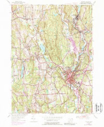
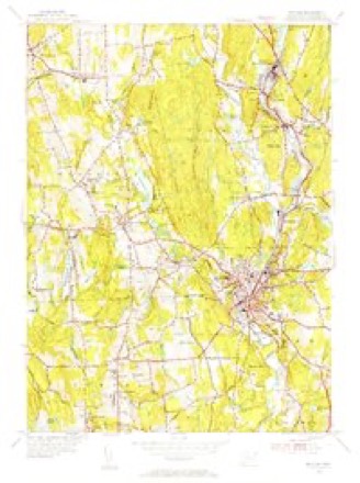
29 topographic sheets cover this place, the earliest surveyed in 1889 and the latest in 1984. It stands in Woodstock town. It lies in ZIP code area 06281. It lies near Bartholomew Hill. The Survey maps it on the Putnam quadrangle.
Topographic sheets covering this place
13 surveys from 29 printed sheetsMatched by testing this settlement's coordinate against the published boundary of every sheet in the United States Geological Survey's historical collection. Each opens the scanned sheet at the Survey.
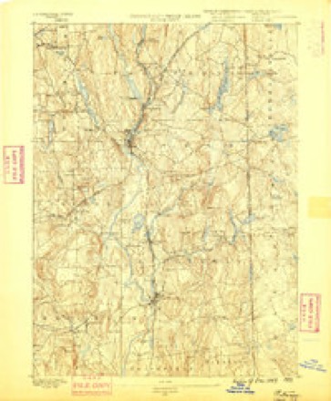
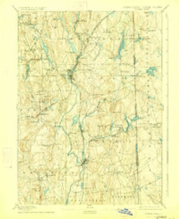
- 1889 USGS Putnam quadrangle1:62500
- 1893 USGS Putnam quadrangle1:62500, 8 printings
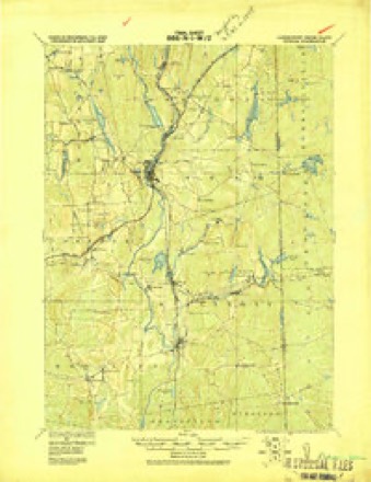
- 1919 USGS Putnam quadrangle1:62500
- 1943 USGS Putnam quadrangle1:125000
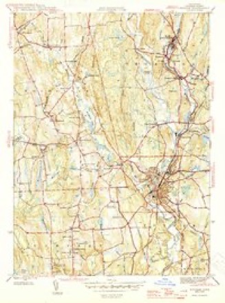
- 1945 USGS Putnam quadrangle1:31680, 2 printings
- 1947 USGS Providence quadrangle1:250000, 5 printings
- 1948 USGS Providence quadrangle1:250000
- 1955 USGS Putnam quadrangle1:24000, 5 printings
- 1955 USGS Putnam quadrangle1:31680
- 1957 USGS Providence quadrangle1:250000
- 1958 USGS Providence quadrangle1:250000
- 1963 USGS Providence quadrangle1:250000
- 1984 USGS Providence quadrangle1:100000







In the county-history sources
50,238 words on this townshipHistory of Windham County, Connecticut .., published 1889 names this settlement in its chapter on Woodstock Town. These are the passages that mention it, exactly as the scans read.
These northern settlers attended divine worship in the town meeting house and bore their share of minister's rate and other town expenses. The question of building a new meeting house excited much discussion and wrangling. In 1717, an experienced committee reported " that it would be most profitable as well as most accommodable to build a new house." The town accepted this opinion with thanks, but was slow in deciding upon the site. A letter was written to the residents of the north half relating to moving the meeting house more northerlj-, but no return was made to it. After long delay and many reversals of decision, Mr. Dwight was sent for " to pray with the town." All previous action was then annulled and the site referred to three men from out of town. Samuel Paine, Smith Johnson and Benjamin Griggs from South Woodstock, and William 'Lyon, James Corbin and Jonathan Payson from Plaine hill, were appointed, " to remonstrate to the committee from abroad the circumstances of the town, and the arguments they have to offer as to which place thej- think best, and to write to such committee, provide for and pay them."
Passage source: History of Windham County, Connecticut .., published 1889.
" II. That whoever shall neglect the payment of his rate two months after a rate is made and demanded, shall forfeit for every five shillings two acres of his home lot with all proportionable rights, and so, more or less, according to his failure ; always provided that they take not his house nor orchard
Passage source: History of Windham County, Connecticut .., published 1889.
Machine-read from a century-old scan, so expect the errors a machine makes: misspelled names, dropped words, stray characters.
Fires near this place
167 since 1992Regional context, not property-specific evidence. The federal wildfire occurrence database lists 167 fires within 5 miles of Harrisville between 1992 and 2020, burning about 310 acres in total. 1 started naturally. 6 were recorded as arson. Distance is straight-line from the map coordinates, so a fire counted here may appear on a neighbouring settlement's page as well.
| Reported cause | Fires |
|---|---|
| Missing data/not specified/undetermined | 111 |
| Recreation and ceremony | 18 |
| Debris and open burning | 14 |
| Misuse of fire by a minor | 11 |
| Arson/incendiarism | 6 |
| Smoking | 2 |
| Equipment and vehicle use | 2 |
| Natural | 1 |
| Railroad operations and maintenance | 1 |
| Power generation/transmission/distribution | 1 |
The most recent of them, most recent first, with the day each was reported and the service that recorded it.
| Date | Cause | Size | Reported by | Name on the report |
|---|---|---|---|---|
| 22 September 2020 | Missing data/not specified/undetermined | under an acre | Connecticut Division of Forestry | 11 HOLMES STREET |
| 20 September 2020 | Missing data/not specified/undetermined | 3.5 acres | Connecticut Division of Forestry | 78 ROCK AVE |
| 19 September 2020 | Missing data/not specified/undetermined | 2.0 acres | Connecticut Division of Forestry | 1017 RIVERSIDE DRIVE |
| 15 September 2020 | Missing data/not specified/undetermined | under an acre | Connecticut Division of Forestry | 15 RIDGE ROAD |
| 7 August 2020 | Missing data/not specified/undetermined | under an acre | Connecticut Division of Forestry | I395 S EX47 |
| 5 August 2020 | Missing data/not specified/undetermined | under an acre | Connecticut Division of Forestry | 631 POMFRET STREET |
| 4 August 1993 | Equipment and vehicle use | 5.0 acres | Connecticut Division of Forestry | not named |
| 27 August 2020 | Missing data/not specified/undetermined | under an acre | Connecticut Division of Forestry | 1 RIDGE ROAD |
Settlements close enough to share some of these fires:
Mines and quarries near this place
3 within 5 milesRegional context, not property-specific evidence. The federal mineral resources record lists 3 workings within 5 miles of Harrisville: 2 producers, 1 past producer. 2 still produce. What was taken out: Sand and Gravel, Construction. Distance is straight-line from the map coordinates, so a quarry counted here may appear on a neighbouring settlement's page as well.
| Where | Site | Commodity | Status | Recorded |
|---|---|---|---|---|
| Garvey Pit | Sand and Gravel, Construction | Past Producer | Sedimentary | |
| Garvey Pit | Sand and Gravel, Construction | Producer | ||
| Townfarm Road Pit | Sand and Gravel, Construction | Producer |
Nearest settlements
The eight closest, with where each one stands in the county. Distances are straight-line, computed from the Geographic Names Information System coordinates.
| Map | Place | Distance | Sheets |
|---|---|---|---|
| South Woodstock | 1.5 miles | 29 | |
| Putnam | 1.7 miles | 29 | |
| West Thompson | 1.9 miles | 29 | |
| Roseland Park | 2.0 miles | 29 | |
| Quasset Lake | 2.4 miles | 29 | |
| Massomuck (historical) | 2.4 miles | 29 | |
| Pomfret | 2.4 miles | 29 | |
| Mechanicsville | 2.5 miles | 29 |
Provenance
This settlement is recorded in the Geographic Names Information System as feature 207689. The sheet list is computed by point-in-boundary test against the United States Geological Survey's historical topographic inventory. Both are works of the United States government and carry no copyright under 17 U.S.C. 105.
Wildfire. Short, Karen C. 2022. Spatial wildfire occurrence data for the United States, 1992-2020 [FPA_FOD_20221014]. 6th Edition. Fort Collins, CO: Forest Service Research Data Archive. https://doi.org/10.2737/RDS-2013-0009.6 Collected with United States Government funding and usable without additional permissions or fees.
Mines and quarries. USGS Mineral Resources Data System (MRDS) https://mrdata.usgs.gov/mrds/ A work of the United States government, no copyright under 17 U.S.C. 105.