 Block
Putnam, Connecticut
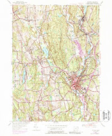
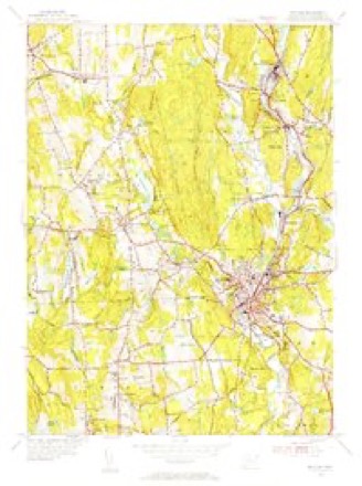
29 topographic sheets cover this place, the earliest surveyed in 1889 and the latest in 1984. It stands in Putnam town. It lies in ZIP code area 06260. It stands on Little River. The Survey maps it on the Putnam quadrangle.
On record in Putnam
Buildings and businesses the archive holds for this place. Each opens its own page, with the source record it came from.
On the National Register 5 records
 Cady-Copp Houselisted 2001
 Cargill Falls Mill (Wilkinson Mill)listed 2014
 Israel Putnam Schoollisted 1984
 Putnam High Schoollisted 1993
 Putnam Railroad Stationlisted 2007
Topographic sheets covering this place
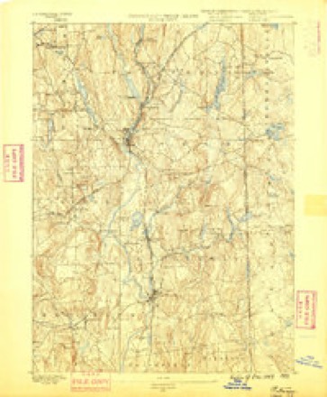
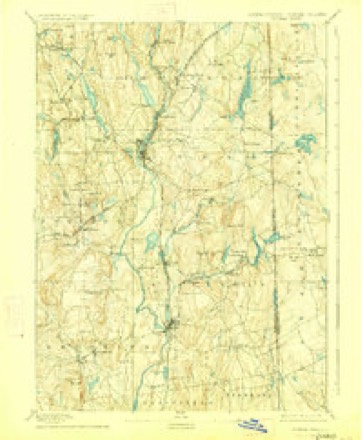
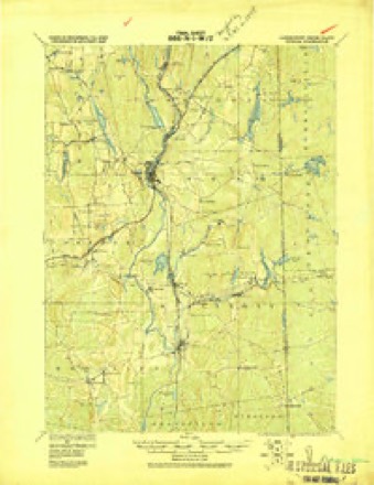
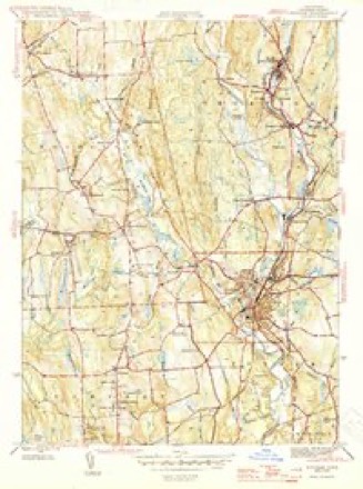
13 surveys from 29 printed sheetsMatched by testing this settlement's coordinate against the published boundary of every sheet in the United States Geological Survey's historical collection. Each opens the scanned sheet at the Survey.
- 1889 USGS Putnam quadrangle1:62500
- 1893 USGS Putnam quadrangle1:62500, 8 printings
- 1919 USGS Putnam quadrangle1:62500
- 1943 USGS Putnam quadrangle1:125000
- 1945 USGS Putnam quadrangle1:31680, 2 printings
- 1947 USGS Providence quadrangle1:250000, 5 printings
- 1948 USGS Providence quadrangle1:250000
- 1955 USGS Putnam quadrangle1:24000, 5 printings
- 1955 USGS Putnam quadrangle1:31680
- 1957 USGS Providence quadrangle1:250000
- 1958 USGS Providence quadrangle1:250000
- 1963 USGS Providence quadrangle1:250000
- 1984 USGS Providence quadrangle1:100000







In the county-history sources
43,471 words on this townshipHistory of Windham County, Connecticut, published 1880; History of Windham County, Connecticut .., published 1889 names this settlement in its chapter on Putnam Town. These are the passages that mention it, exactly as the scans read.
The general growth of Willimantio has kept pace with its business development, though its chaotic elements were somewhat slow in taking permanent form. Its moral and educational interests were much promoted through the agency of The WiUbnantiG Journal^ which under the charge of Mr. William L. Weaver, aHSume<l a high nioral and literary character. A native of Windham, and an early resident of Williniantic, he was deeply interested in its past and future development. A valuable series of papers published in The Journul preserve priceless data concerning the early settlers of old Windham and its vicinity, while his earnest efforts in behalf of temperance, education and all elevating influences, and his broad and enlightened patriotism, left their mark upon the present generation. ITis death, Decend>er 8, 18G6, was a great loss to Williniantic and Windham County, but the hibor performetl by him amid great bodily infirmity and obstacles, will give him lasting remembrance. J^Ir. Weaver had collected materials and made considerable progress in compiling a (genealogical History of Ancient Windham, comprising all the families embraced within its original limits. Through his elforts the dilapidated town records were collated, repaired and copied. lie served the town for many years as registrar and school visitor, and in 1856 was sent as its representative. 7'he Willimantic Journal under successive editorial administrations has continued to represent the interests of the village ; other newspaper enterprises have been called out by increased demands.
Passage source: History of Windham County, Connecticut, published 1880.
The pleasant village of North Windham with its convenient railroad accommodations is thriving and prosperous. The cotton factory built by Mr. Swifl, after twice burning and re-building, is now employed in thread manufacture. The felting works have been for some time discontinued. Mr. Ralph Lincoln maintained the ancient reputation of the family name by administering the post oflicc department till past his eightieth year. A Christ^ian church has long existed in this locality, dating back to the days of Joshua Abbe. The various industries of the several villages, and the great manufacturing interests of Willimantic, make Windham now the richest town in the County, and notwithstanding the loss of Scotland Parish, she is second if not fii*st in population. Iler central position on the great thoroughfares of travel, and distinguished manufacturing advantages, would seem to augur continued growth and prosperity, and despite her loss of
Passage source: History of Windham County, Connecticut, published 1880.
THE township of Putnam, incorporated in 1855, was made up from parts of Thompson, Killingly and Pomfret. The Quinebaug river, with its great falls in the heart of the village, is its most distinctive physical feature, its main source of life and business prosperity. Manufacturing enterprise, aided by railroads, built up a flourishing village. This village demanded expansion and the liberty to manage its own affairs, and after a desperate struggle obtained town privileges, taking in as much surrounding territory as was needful to give it corporate standing, and by running its south boundary line obliquely, cutting off barren land eastward. This funnel-like conformation of the projected town excited much ridicule during the contest, and it is said that its pictorial presentation before the legislature had much influence in procuring the rejection of the early petitions. But while the manufacturing interests of the town are strongly dominant, Putnam is by no means deficient in agricultural resources. With improved culture and immediate market, farming has made great advances. Dairying and market gardening are remunerative industries. There are many good farms in the vicinity of the valley and in the former South Neighborhood. The Assawaga or Five Mile river in the east of the town furnishes a number of mill privileges. The recent
Passage source: History of Windham County, Connecticut .., published 1889.
Machine-read from a century-old scan, so expect the errors a machine makes: misspelled names, dropped words, stray characters.
Read the whole chapter on Putnam Town - it names this place 131 more 131 times.
Fires near this place
158 since 1992Regional context, not property-specific evidence. The federal wildfire occurrence database lists 158 fires within 5 miles of Putnam between 1992 and 2020, burning about 302 acres in total. 1 started naturally. 6 were recorded as arson. Distance is straight-line from the map coordinates, so a fire counted here may appear on a neighbouring settlement's page as well.
| Reported cause | Fires |
|---|---|
| Missing data/not specified/undetermined | 111 |
| Recreation and ceremony | 12 |
| Debris and open burning | 12 |
| Misuse of fire by a minor | 11 |
| Arson/incendiarism | 6 |
| Smoking | 2 |
| Equipment and vehicle use | 2 |
| Natural | 1 |
| Railroad operations and maintenance | 1 |
The most recent of them, most recent first, with the day each was reported and the service that recorded it.
| Date | Cause | Size | Reported by | Name on the report |
|---|---|---|---|---|
| 22 September 2020 | Missing data/not specified/undetermined | under an acre | Connecticut Division of Forestry | 11 HOLMES STREET |
| 20 September 2020 | Missing data/not specified/undetermined | 3.5 acres | Connecticut Division of Forestry | 78 ROCK AVE |
| 15 September 2020 | Missing data/not specified/undetermined | under an acre | Connecticut Division of Forestry | 15 RIDGE ROAD |
| 7 August 2020 | Missing data/not specified/undetermined | under an acre | Connecticut Division of Forestry | I395 S EX47 |
| 5 August 2020 | Missing data/not specified/undetermined | under an acre | Connecticut Division of Forestry | 631 POMFRET STREET |
| 4 August 1993 | Equipment and vehicle use | 5.0 acres | Connecticut Division of Forestry | not named |
| 27 August 2020 | Missing data/not specified/undetermined | under an acre | Connecticut Division of Forestry | 1 RIDGE ROAD |
| 26 August 1995 | Arson/incendiarism | under an acre | Connecticut Division of Forestry | not named |
Settlements close enough to share some of these fires:
Mines and quarries near this place
7 within 5 milesRegional context, not property-specific evidence. The federal mineral resources record lists 7 workings within 5 miles of Putnam: 3 past producers, 3 producers, 1 unknown. 3 still produce. What was taken out: Sand and Gravel, Construction, Stone, Dimension, Stone, Crushed/Broken. Distance is straight-line from the map coordinates, so a quarry counted here may appear on a neighbouring settlement's page as well.
| Where | Site | Commodity | Status | Recorded |
|---|---|---|---|---|
| Hughes Stone Company | Stone, Crushed/Broken | Past Producer | ||
| Quarry | Stone, Dimension | Past Producer | ||
| Garvey Pit | Sand and Gravel, Construction | Past Producer | Sedimentary | |
| Garvey Pit | Sand and Gravel, Construction | Producer | ||
| Munyon Road Pit | Sand and Gravel, Construction | Producer | ||
| R.A. Rawson Sand & Gravel, Inc. | Sand and Gravel, Construction | Unknown | ||
| Townfarm Road Pit | Sand and Gravel, Construction | Producer |
Storms near this place
8 since 1993Regional context, not property-specific evidence. The National Weather Service names Putnam in 8 storm reports between 1993 and 2024: 3 thunderstorm wind, 3 hail, 1 flash flood, 1 lightning. No death or injury is recorded in these reports. Each account below is quoted exactly as the forecast office filed it, from the NOAA Storm Events Database, and each date opens the federal record of that event.
| When | Event | Place named | Harm | What the report says |
|---|---|---|---|---|
| August 2016 | Thunderstorm Wind | Putnam | $40,000 | Numerous trees and wires were downed throughout eastern Putnam by thunderstorm winds. |
| August 2016 | Lightning | Putnam | $15,000 | Lightning struck a house on Munyan Road, setting it on fire. |
| July 2018 | Thunderstorm Wind | Putnam | $2,000 | At 3:32 PM EST a thunderstorm moving over Putnam brought a three-foot diameter tree down on wires on Charles Street. |
| May 2024 | Hail | Putnam | - | In Putnam 1.75 inch hail was reported. |
| August 1993 | Thunderstorm Wind | Putnam | - | Large trees were downed in Putnam and a spotter's anemometer showed a gust to 60 mph in Scotland. |
| July 2012 | Hail | Putnam | - | no account filed |
| July 2003 | Hail | Putnam | - | no account filed |
| June 1998 | Flash Flood | Putnam | - | no account filed |
Nearest settlements
The eight closest, with where each one stands in the county. Distances are straight-line, computed from the Geographic Names Information System coordinates.
| Map | Place | Distance | Sheets |
|---|---|---|---|
| Harrisville | 1.7 miles | 29 | |
| Mechanicsville | 1.9 miles | 29 | |
| West Thompson | 2.1 miles | 29 | |
| Putnam Heights | 2.7 miles | 23 | |
| Massomuck (historical) | 3.1 miles | 29 | |
| Pomfret | 3.1 miles | 29 | |
| South Woodstock | 3.1 miles | 29 | |
| Pomfret Center | 3.4 miles | 29 |
Provenance
This settlement is recorded in the Geographic Names Information System as feature 210020. The sheet list is computed by point-in-boundary test against the United States Geological Survey's historical topographic inventory. Both are works of the United States government and carry no copyright under 17 U.S.C. 105.
Wildfire. Short, Karen C. 2022. Spatial wildfire occurrence data for the United States, 1992-2020 [FPA_FOD_20221014]. 6th Edition. Fort Collins, CO: Forest Service Research Data Archive. https://doi.org/10.2737/RDS-2013-0009.6 Collected with United States Government funding and usable without additional permissions or fees.
Mines and quarries. USGS Mineral Resources Data System (MRDS) https://mrdata.usgs.gov/mrds/ A work of the United States government, no copyright under 17 U.S.C. 105.
Storms. NOAA National Centers for Environmental Information, Storm Events Database https://www.ncei.noaa.gov/stormevents/ A work of the United States government, no copyright under 17 U.S.C. 105. Narratives are quoted verbatim from the National Weather Service report and are not edited or summarised.