 Block
Wilsonville, Connecticut
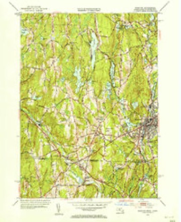
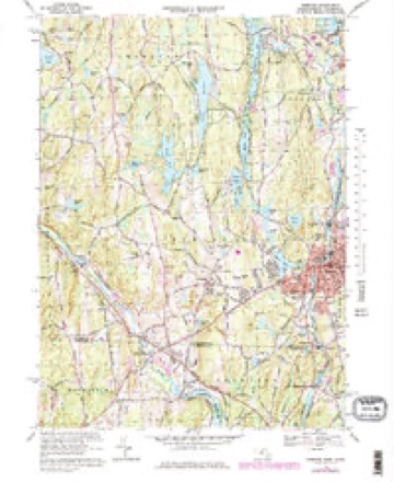
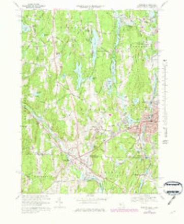
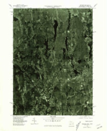
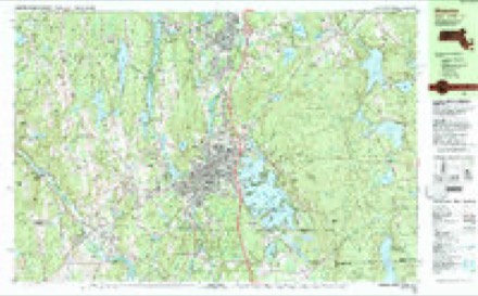
42 topographic sheets cover this place, the earliest surveyed in 1889 and the latest in 1989. It stands in Thompson town. It lies in ZIP code area 06255. It stands on Long Branch Brook. The Survey maps it on the Webster quadrangle.
Topographic sheets covering this place
18 surveys from 42 printed sheetsMatched by testing this settlement's coordinate against the published boundary of every sheet in the United States Geological Survey's historical collection. Each opens the scanned sheet at the Survey.
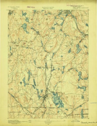
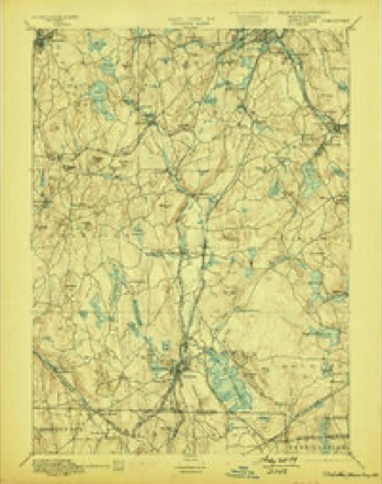
- 1889 USGS Webster quadrangle1:62500
- 1892 USGS Webster quadrangle1:62500, 9 printings
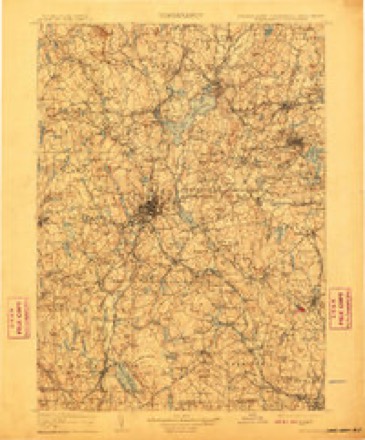
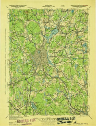
- 1908 USGS Quinsigamond quadrangle1:125000, 3 printings
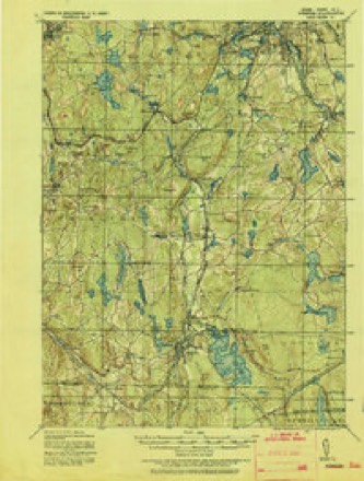
- 1921 USGS Webster quadrangle1:62500
- 1943 USGS Quinsigamond quadrangle1:125000
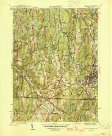
- 1945 USGS Webster quadrangle1:31680, 2 printings
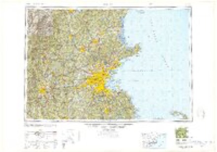
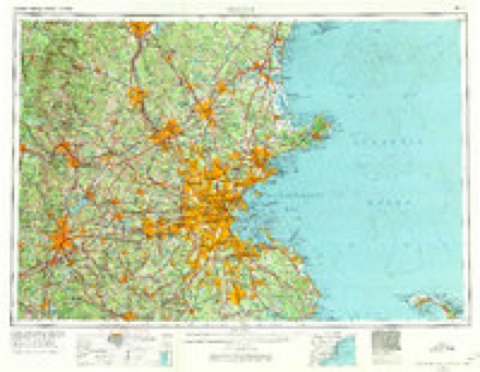
- 1948 USGS Boston quadrangle1:250000, 2 printings
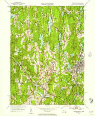
- 1953 USGS Webster quadrangle1:24000, 2 printings
- 1953 USGS Webster quadrangle1:31680
- 1956 USGS Boston quadrangle1:250000, 6 printings
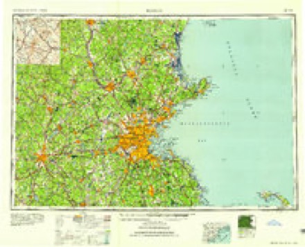
- 1958 USGS Boston quadrangle1:250000, 2 printings
- 1961 USGS Boston quadrangle1:250000, 2 printings
- 1969 USGS Webster quadrangle1:24000, 3 printings
- 1969 USGS Webster quadrangle1:25000
- 1975 USGS Webster quadrangle1:25000
- 1982 USGS Webster quadrangle1:25000, 2 printings
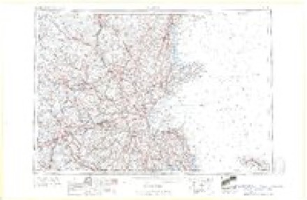
- 1985 USGS Boston quadrangle1:100000
- 1989 USGS Boston quadrangle1:100000, 2 printings
In the county-history sources
62,001 words on this townshipHistory of Windham County, Connecticut .., published 1889 names this settlement in its chapter on Thompson Town. These are the passages that mention it, exactly as the scans read.
Sabin, first settler of Pomfret, agreeing " to defend said Sabin in quiet and peaceable possession of the premises, so that he be not forcibly ejected." With this guaranty, Captain Sabin's son Hezekiah took possession of the present Thompson hill and soon put up a large frame house, known even within the present century as " the old Red Tavern." This tavern soon became a place of familiar resort, especially when a country road was laid over the hill, accommodating Plainfield and Killingly with more direct communication with Boston. Along the French or Little Quinebaug settlers had already gathered, viz., David Shapley, Samuel Davis, James Hosmer, Nathaniel Crosby, Henry Ellithorpe.
Passage source: History of Windham County, Connecticut .., published 1889.
Thus organized and equipped,the North society began its career, and joyfully entered upon the task of collecting and preparing timber for the much-desired meeting house. Deprived for so many years of ordinary religious and civil privileges, this happy set- tlement and hopeful prospect was a matter of great rejoicing. In no other precinct or town within the county was this meeting house work carried on with such alacrity and harmony. " The people's hearts were stirred up and they willingly offered themselves." The little word " our " prefixed to all meeting house votes pleasantly indicates a personal sense of proprietorship. All over the large parish men and teams were busily at work. Giant oaks were levelled, hewn and hauled over the rough ways to the appointed site. So earnest and.vigorous were the workers, that by November 15th, the society was called "to consider how and in what method we shall proceed in order for making preparation for the raising our meeting house." The method adopted was, " That every man in said society shall have liberty to bring in provisions and drink what may be thought his proportion." John Dwight, Benjamin Bixby, Hezekiah Sabin, Edward Converse, Jonathan Clough and Sampson Howe were appointed a committee to take care to provide for the raising. Under such auspices the work was triumphantly accomplished - the first great gathering assembled on Thompson hill.
Passage source: History of Windham County, Connecticut .., published 1889.
Thus happily settled, Thompson parish pursued its way peacefully and prosperously. Its parochial affairs were well administered, and it bore a fair part of town burdens. Simon Bryant, John Dwight, Hezekiah Sabin, Jonathan Clough, Joseph Cady, Jedidiah and Urian Hosmer and Penuel Child were sent successively as deputies to the general assembly. Jacob Dresser was elected town clerk of Killingly in 1744. William Larned managed so well as treasurer of the town that he was voted a special payment for his services. Samuel Morris, in consideration of his maintaining roads and bridges, was exempt for life from toAvn and country taxes. As the fathers passed away they were succeeded by their sons or competent new settlers. Sampson Howe died in 1736, and was succeeded as clerk and captain by Joseph Cady, the richest man in the vicinity. In 1742 Jacob Dresser was chosen society clerk, and John Dwight captain of the company. Jonathan Clough and William Larned succeeded in office Deacons Eaton and Bixby. Penuel Child was appointed in 1742 to serve in the new office of " querister." The Reverend Mr. Cabot, after a faithful and successful pastorate, died in charge in 17C6, stricken with apoplexy in his own pulpit while preaching.
Passage source: History of Windham County, Connecticut .., published 1889.
Machine-read from a century-old scan, so expect the errors a machine makes: misspelled names, dropped words, stray characters.
Read the whole chapter on Thompson Town - it names this place 7 more 7 times.
Fires near this place
117 since 1993Regional context, not property-specific evidence. The federal wildfire occurrence database lists 117 fires within 5 miles of Wilsonville between 1993 and 2020, burning about 272 acres in total. 1 started naturally. 6 were recorded as arson. Distance is straight-line from the map coordinates, so a fire counted here may appear on a neighbouring settlement's page as well.
| Reported cause | Fires |
|---|---|
| Missing data/not specified/undetermined | 62 |
| Debris and open burning | 20 |
| Recreation and ceremony | 11 |
| Misuse of fire by a minor | 9 |
| Arson/incendiarism | 6 |
| Smoking | 4 |
| Equipment and vehicle use | 3 |
| Natural | 1 |
| Power generation/transmission/distribution | 1 |
The most recent of them, most recent first, with the day each was reported and the service that recorded it.
| Date | Cause | Size | Reported by | Name on the report |
|---|---|---|---|---|
| 7 September 2020 | Arson/incendiarism | under an acre | Connecticut Division of Forestry | BAKER RD/QUADDICK TOWN FARM ROAD |
| 22 September 2020 | Missing data/not specified/undetermined | under an acre | Connecticut Division of Forestry | 11 HOLMES STREET |
| 19 September 2020 | Missing data/not specified/undetermined | 2.0 acres | Connecticut Division of Forestry | 1017 RIVERSIDE DRIVE |
| 19 September 2020 | Missing data/not specified/undetermined | 1.0 acres | Connecticut Division of Forestry | 1175 RIVERSIDE DRIVE |
| 8 August 2015 | Recreation and ceremony | under an acre | Massachusetts Bureau of Forest Fire Control | not named |
| 6 August 2015 | Recreation and ceremony | under an acre | Massachusetts Bureau of Forest Fire Control | not named |
| 4 August 1993 | Equipment and vehicle use | 5.0 acres | Connecticut Division of Forestry | not named |
| 22 August 2020 | Recreation and ceremony | under an acre | Massachusetts Bureau of Forest Fire Control | not named |
Settlements close enough to share some of these fires:
Mines and quarries near this place
10 of 14 shownRegional context, not property-specific evidence. The federal mineral resources record lists 14 workings within 5 miles of Wilsonville: 13 past producers, 1 producer. 1 still produces. What was taken out: Sand and Gravel, Construction, Stone, Crushed/Broken. Distance is straight-line from the map coordinates, so a quarry counted here may appear on a neighbouring settlement's page as well.
| Where | Site | Commodity | Status | Recorded |
|---|---|---|---|---|
| New Haven Traprock Co. Quarry | Stone, Crushed/Broken | Past Producer | ||
| Janeczek Pit | Sand and Gravel, Construction | Past Producer | Sedimentary | |
| Janeczek Pit | Sand and Gravel, Construction | Past Producer | ||
| Kappys Gravel Pit | Sand and Gravel, Construction | Past Producer | ||
| Kaprys Gravel Pit | Sand and Gravel, Construction | Past Producer | Sedimentary | |
| Leo Construction Co | Sand and Gravel, Construction | Past Producer | Sedimentary | |
| Minarik Pit | Sand and Gravel, Construction | Past Producer | Sedimentary | |
| Minarik Pit | Sand and Gravel, Construction | Past Producer | ||
| Sunny Shores, Inc. Pit | Sand and Gravel, Construction | Past Producer | ||
| Thompson Pit | Sand and Gravel, Construction | Past Producer | Sedimentary |
Nearest settlements
The eight closest, with where each one stands in the county. Distances are straight-line, computed from the Geographic Names Information System coordinates.
| Map | Place | Distance | Sheets |
|---|---|---|---|
| North Grosvenor Dale | 1.9 miles | 29 | |
| Fabyan | 2.6 miles | 42 | |
| Grosvenor Dale | 3.0 miles | 29 | |
| Quinebaug | 3.3 miles | 42 | |
| Thompson | 4.0 miles | 23 | |
| East Thompson | 4.3 miles | 43 | |
| West Thompson | 4.8 miles | 29 | |
| Mechanicsville | 5.0 miles | 29 |
Provenance
This settlement is recorded in the Geographic Names Information System as feature 212174. The sheet list is computed by point-in-boundary test against the United States Geological Survey's historical topographic inventory. Both are works of the United States government and carry no copyright under 17 U.S.C. 105.
Wildfire. Short, Karen C. 2022. Spatial wildfire occurrence data for the United States, 1992-2020 [FPA_FOD_20221014]. 6th Edition. Fort Collins, CO: Forest Service Research Data Archive. https://doi.org/10.2737/RDS-2013-0009.6 Collected with United States Government funding and usable without additional permissions or fees.
Mines and quarries. USGS Mineral Resources Data System (MRDS) https://mrdata.usgs.gov/mrds/ A work of the United States government, no copyright under 17 U.S.C. 105.