 Block
BlockFrom the record
12 National Register listings published here.
Sources: the National Register database, National Park Service
94 topographic sheets cover 62 settlements here, and 12 properties are on the National Register of Historic Places.
12 National Register listings published here.
Sources: the National Register database, National Park Service
Every property in this county listed on the National Register of Historic Places, with the year it was listed and the federal nomination document.
| Photograph | Property | Type | Listed | Reference |
|---|---|---|---|---|
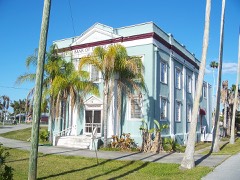 | Bank of Everglades Building | building | 1999 | 99000825 |
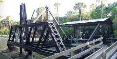 | Bay City Walking Dredge | structure | 2013 | 13000318 |
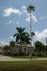 | Everglades Laundry | building | 2001 | 01001012 |
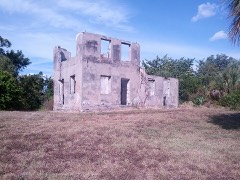 | Capt. John Foley Horr House | site | 1997 | 97001215 |
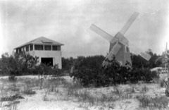 | Keewaydin Club | building | 1987 | 87001979 |
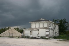 | Monroe Station | building | 2000 | 00000427 |
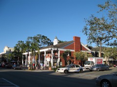 | Naples Historic District | district | 1987 | 87002179 |
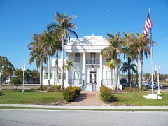 | Old Collier County Courthouse | building | 2013 | 13000875 |
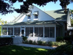 | Palm Cottage | building | 1982 | 82002371 |
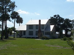 | Roberts Family Home/Main House | building | 2003 | 03000990 |
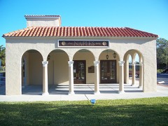 | Seaboard Coast Line Railroad Depot | building | 1974 | 74000613 |
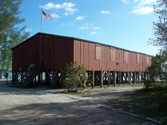 | Ted Smallwood Store | building | 1974 | 74000612 |
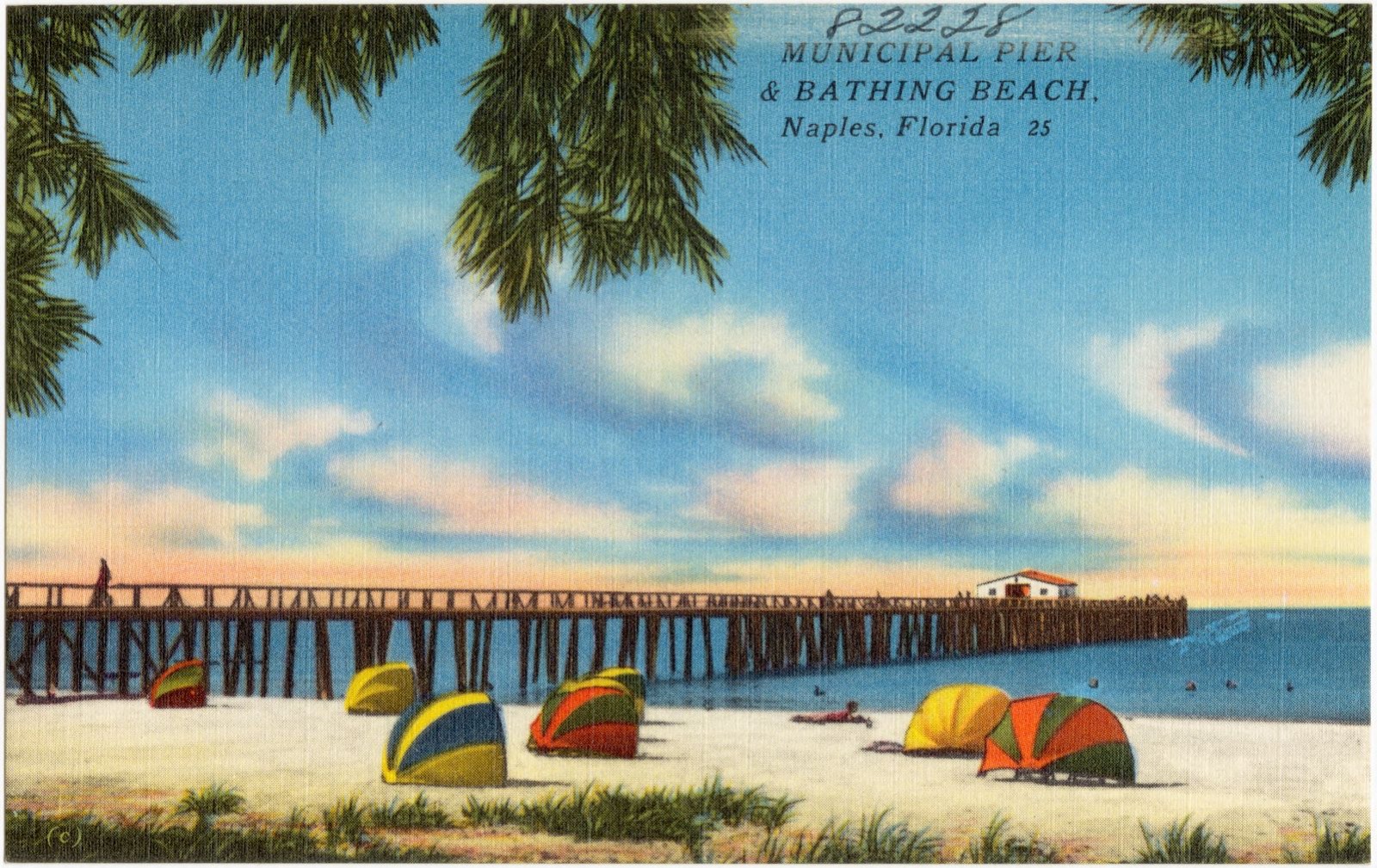
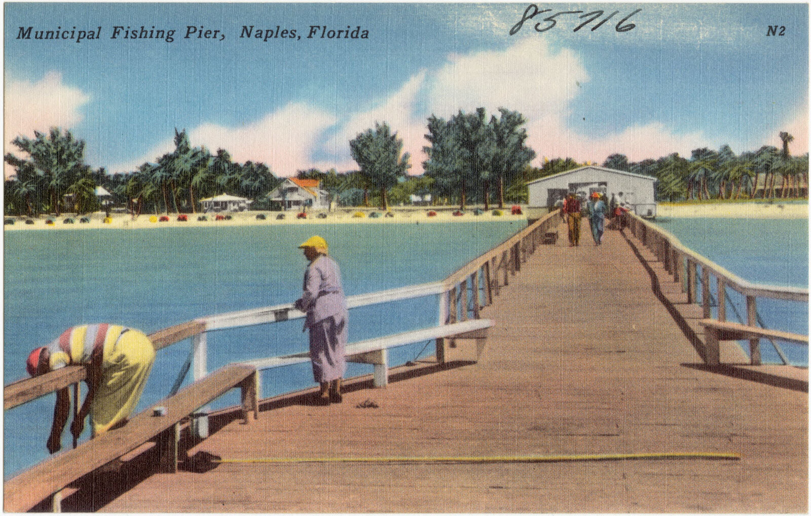
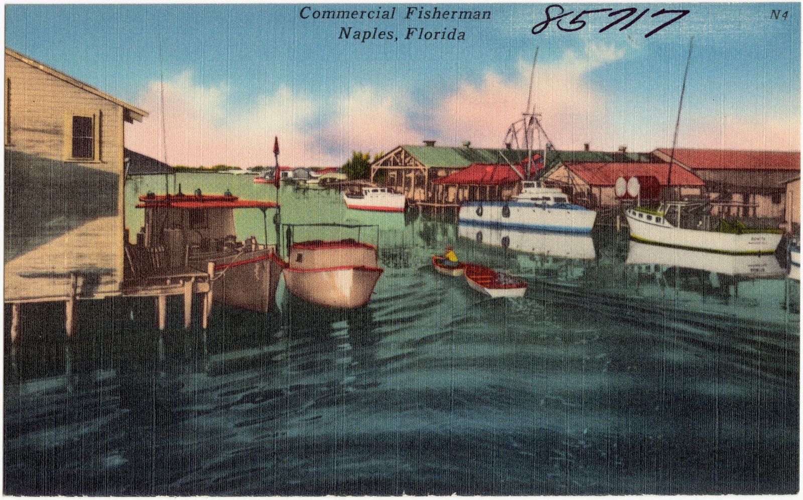
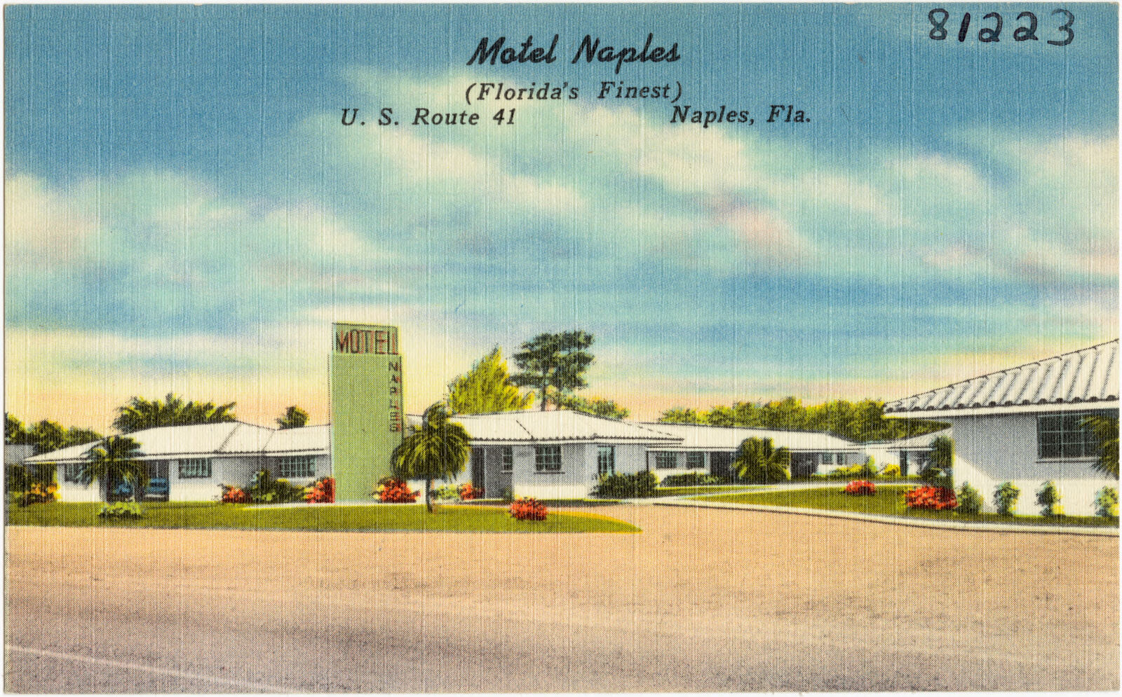
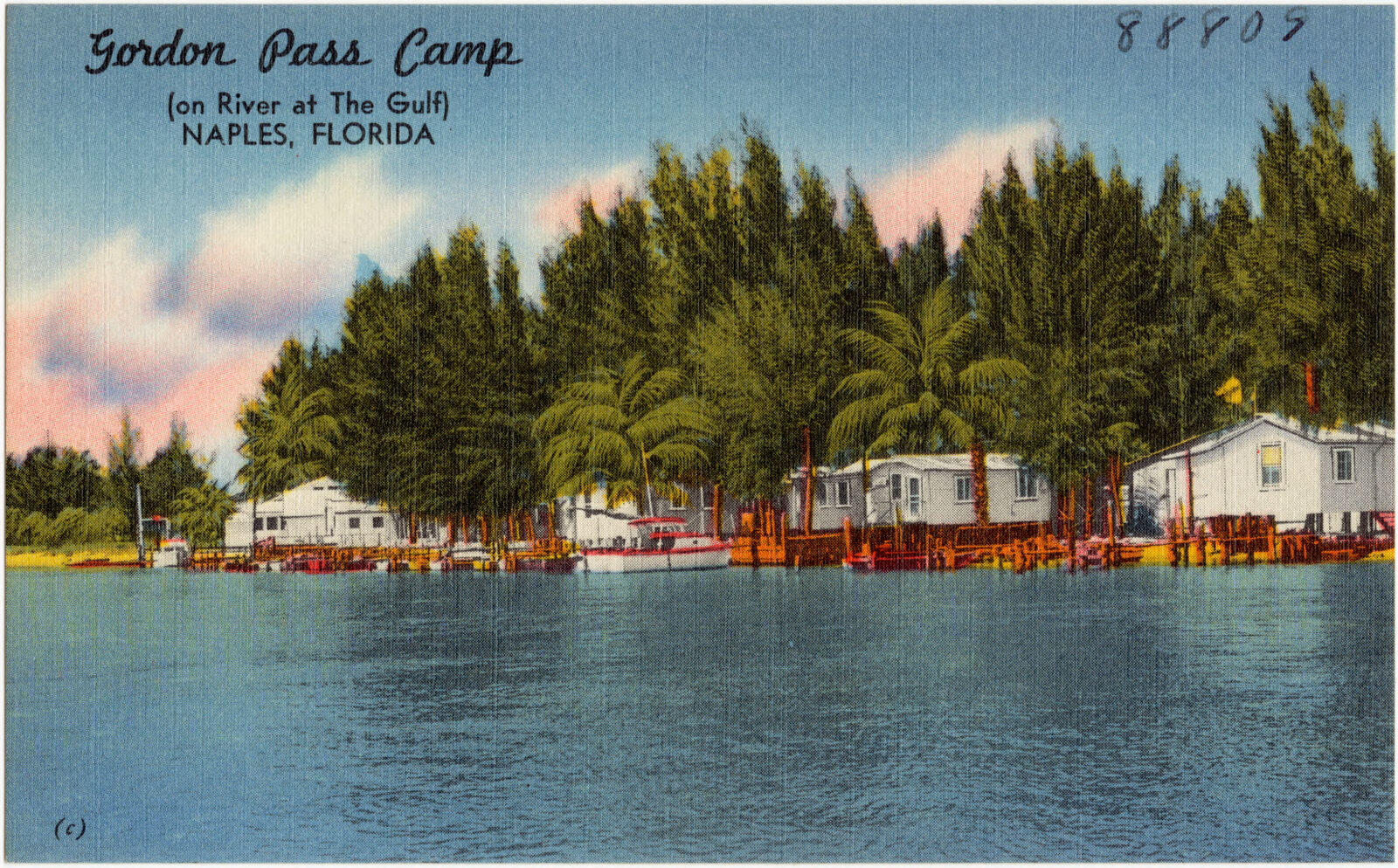
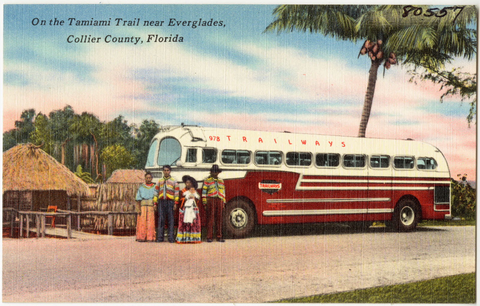
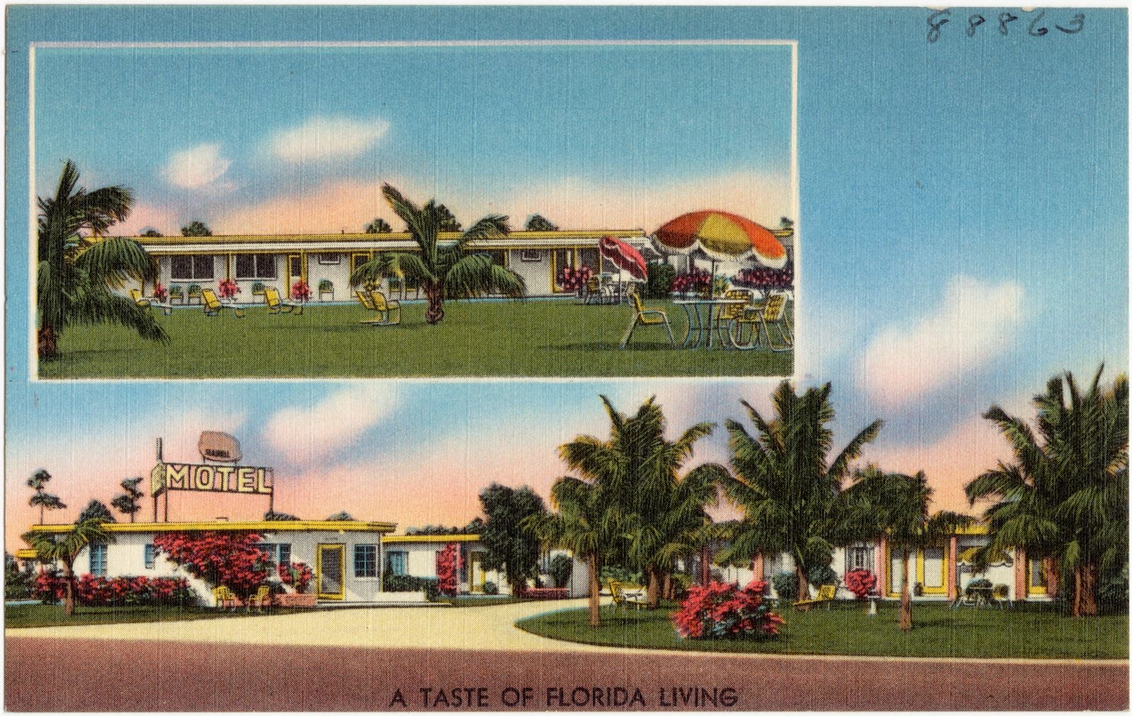
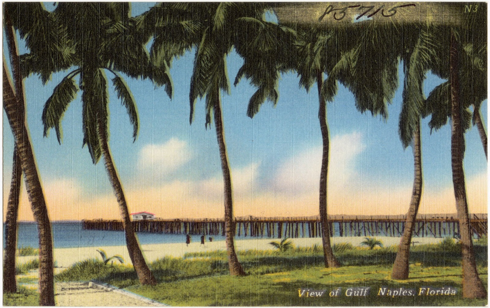
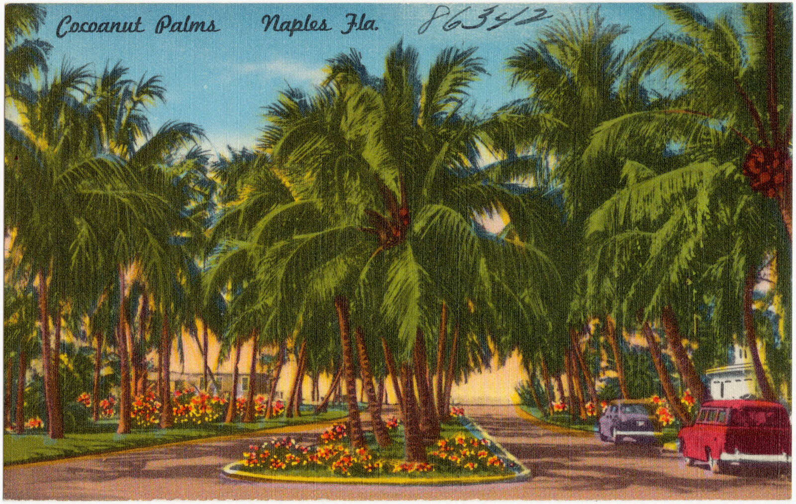
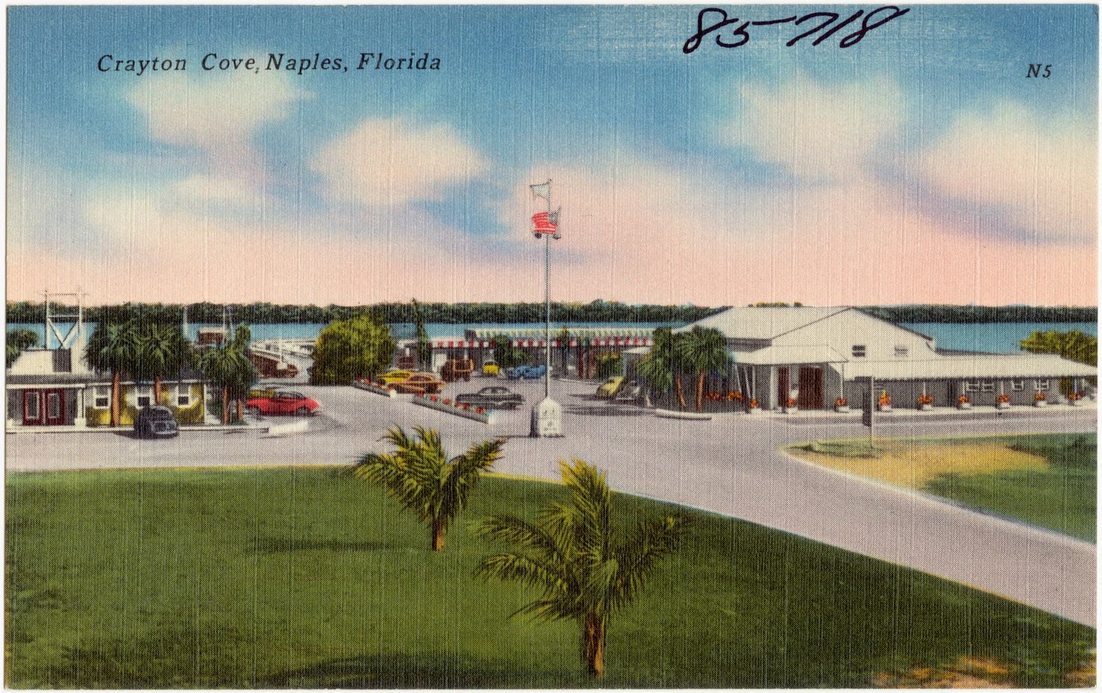
Selected from the Digital Public Library of America's 18 image records catalogued for this county. Every one shown here carries a public-domain status or a licence that permits reuse on a site that carries advertising; non-commercial, share-alike and restricted images are excluded. The selection is spread across the county's towns (at most eight per town), so no single institution's bulk upload crowds out the rest. Each opens the holding library's record, and the complete set at the Digital Public Library of America is one click away.

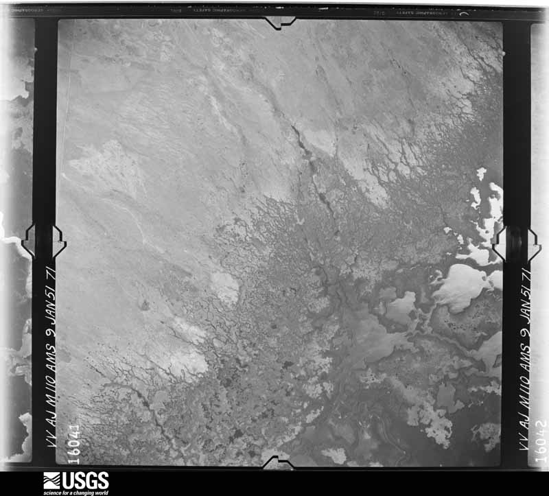
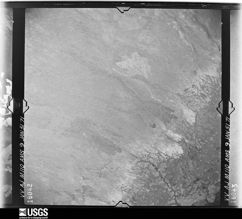
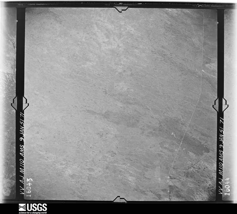
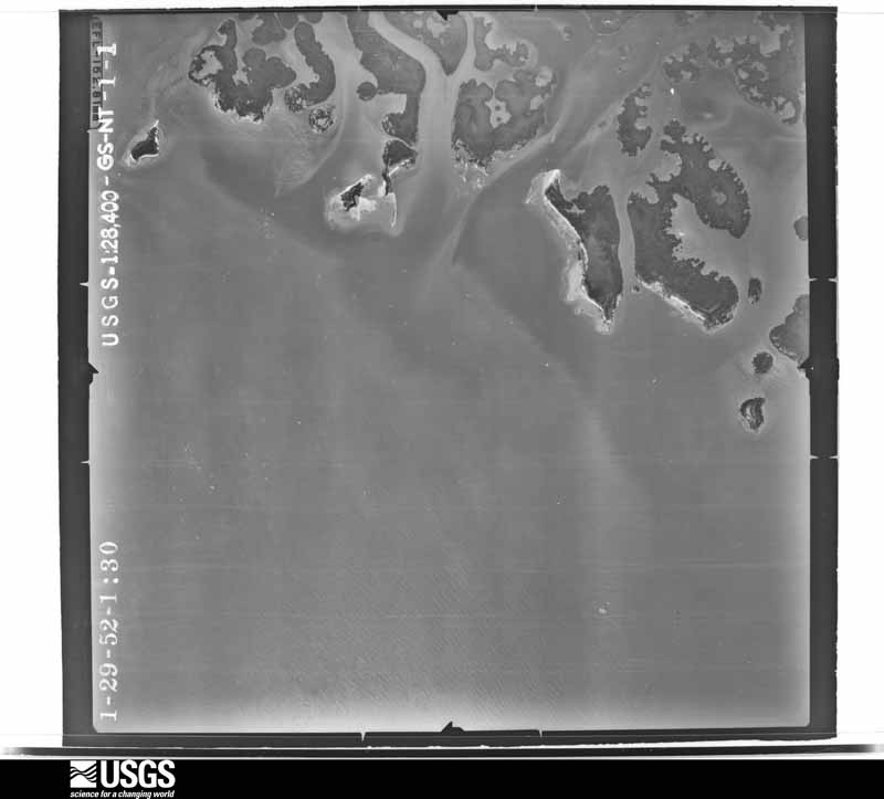
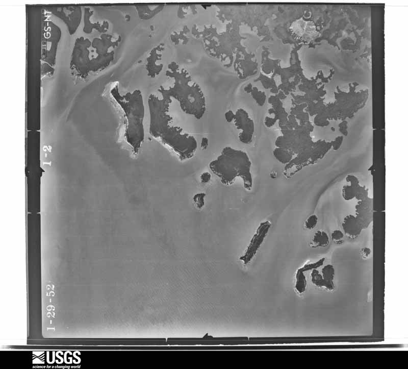
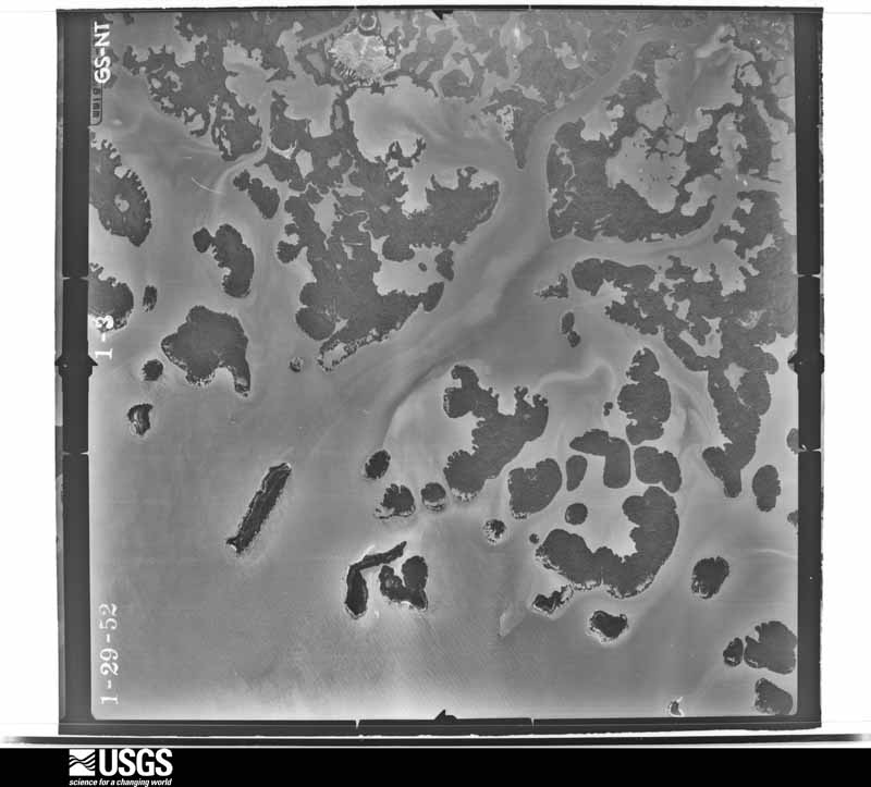
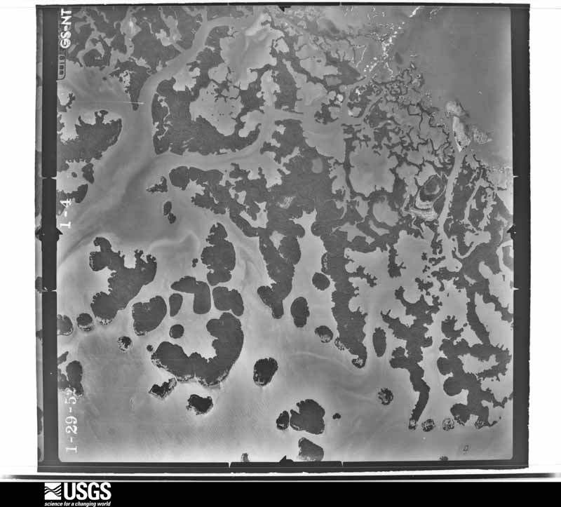
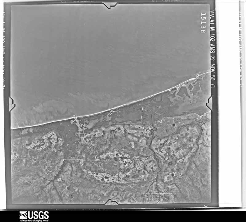
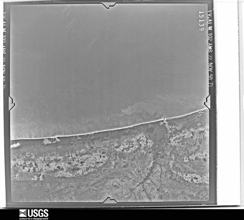
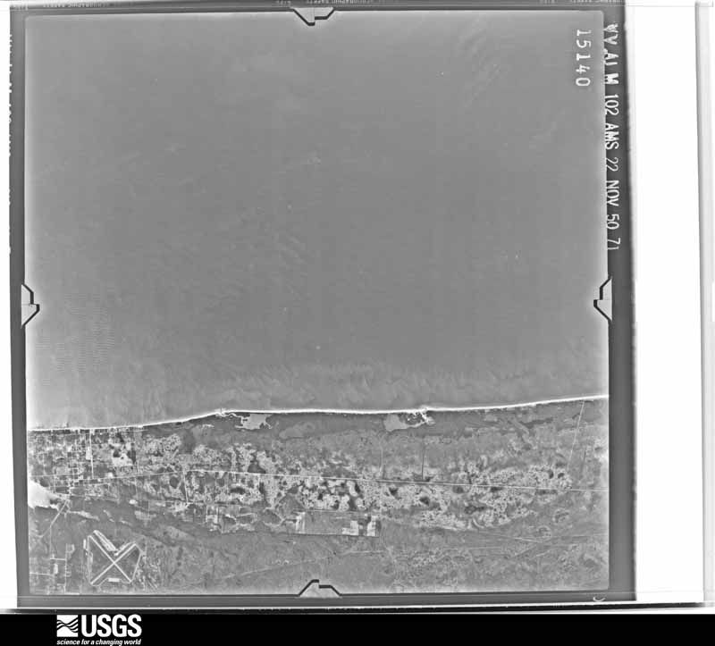
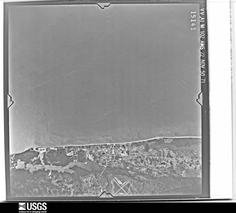
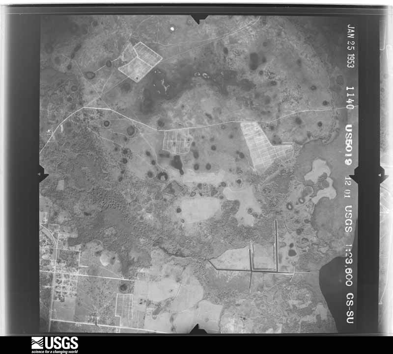
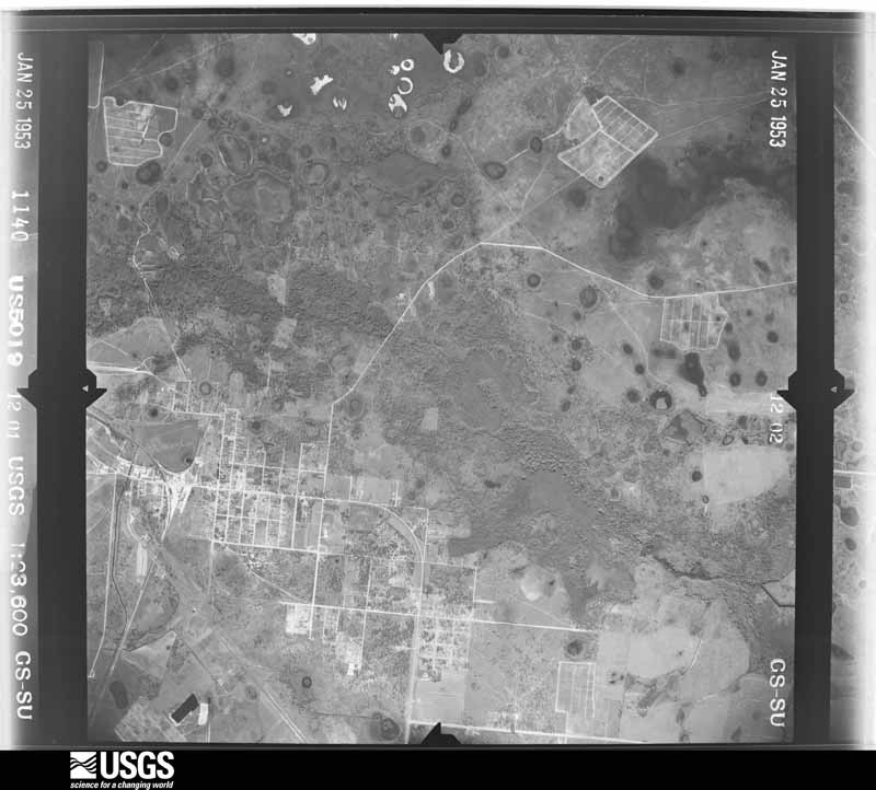
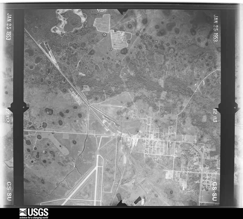
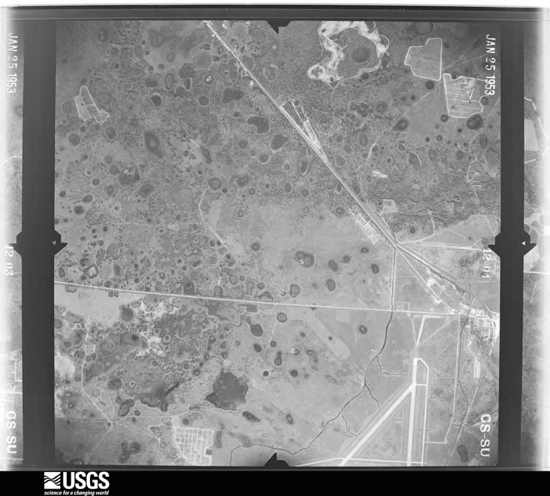
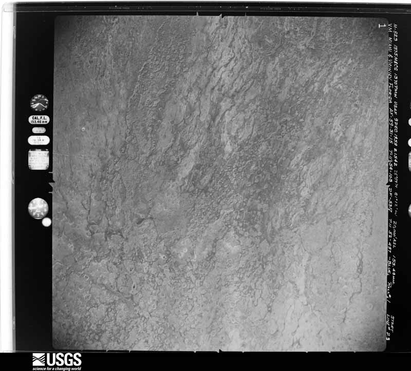
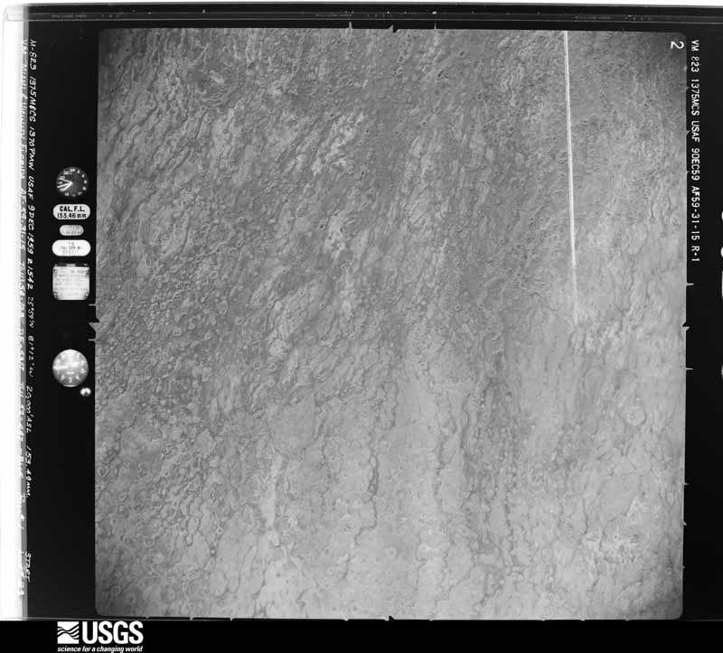
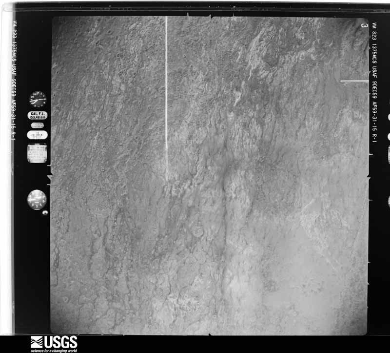
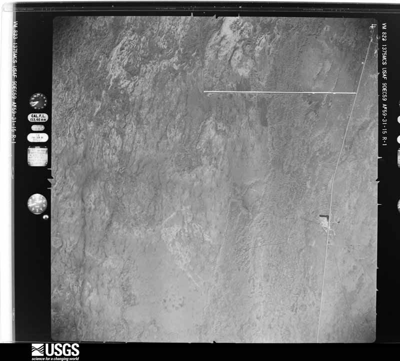
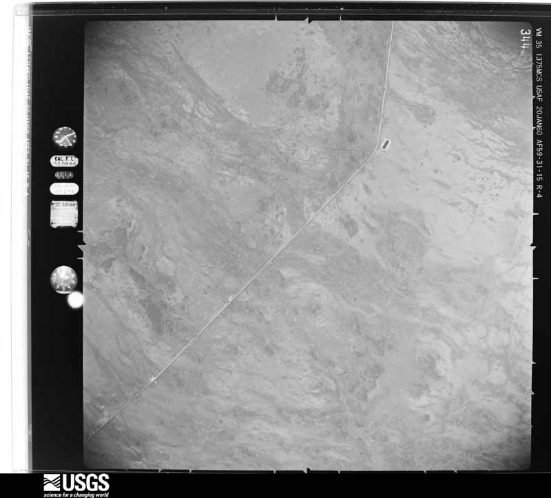
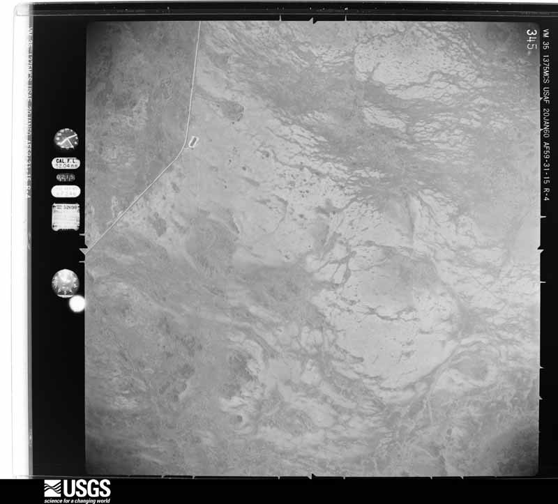
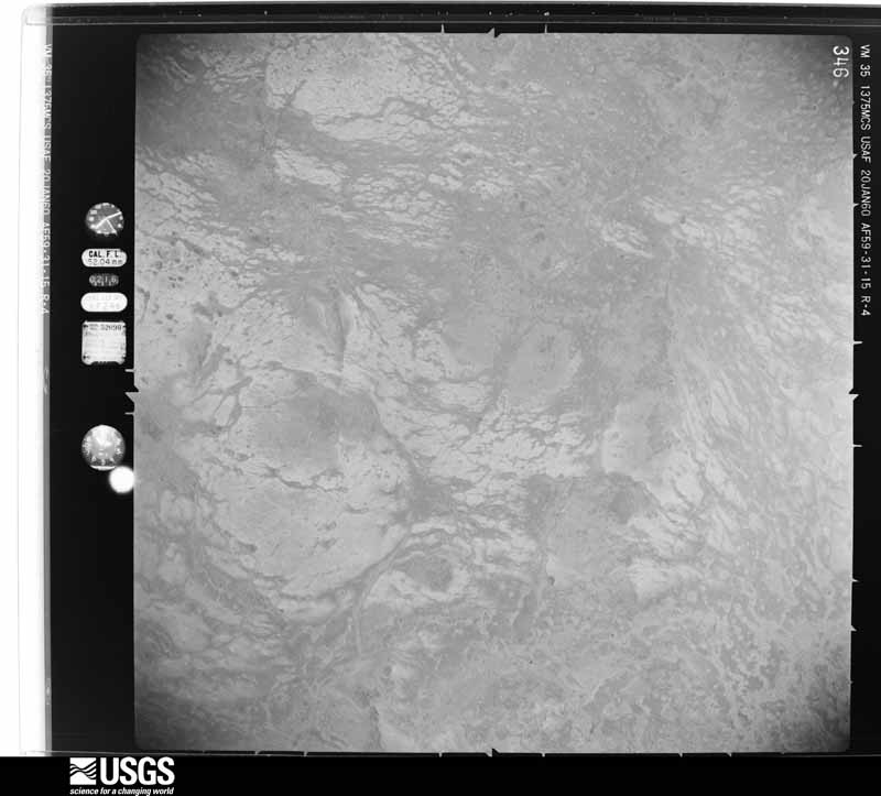
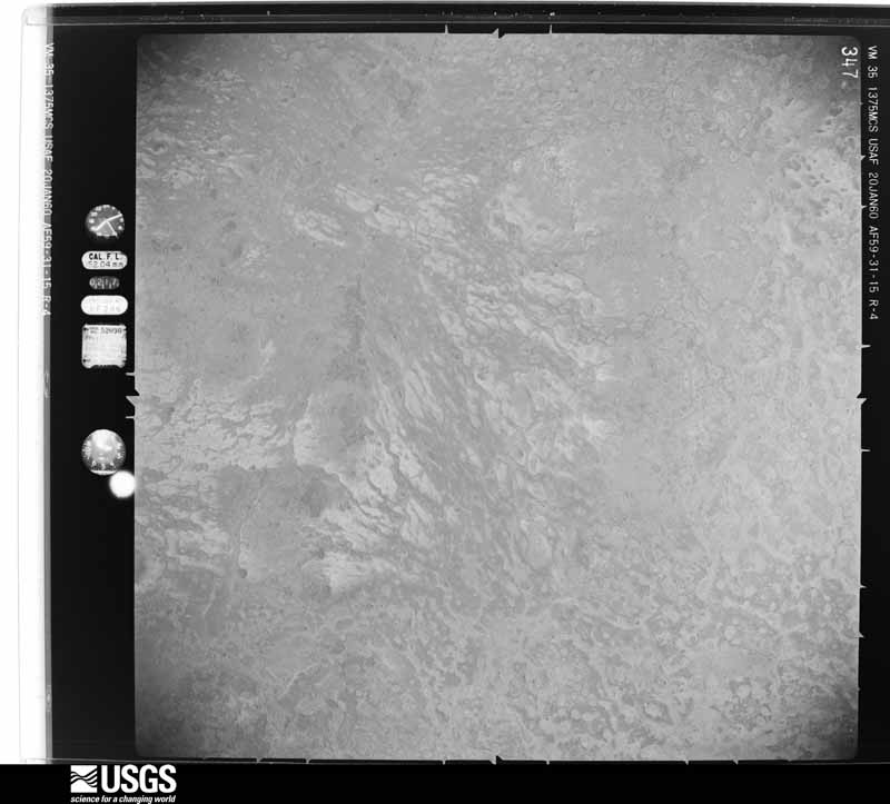
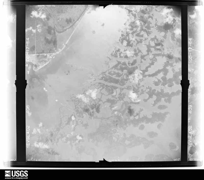
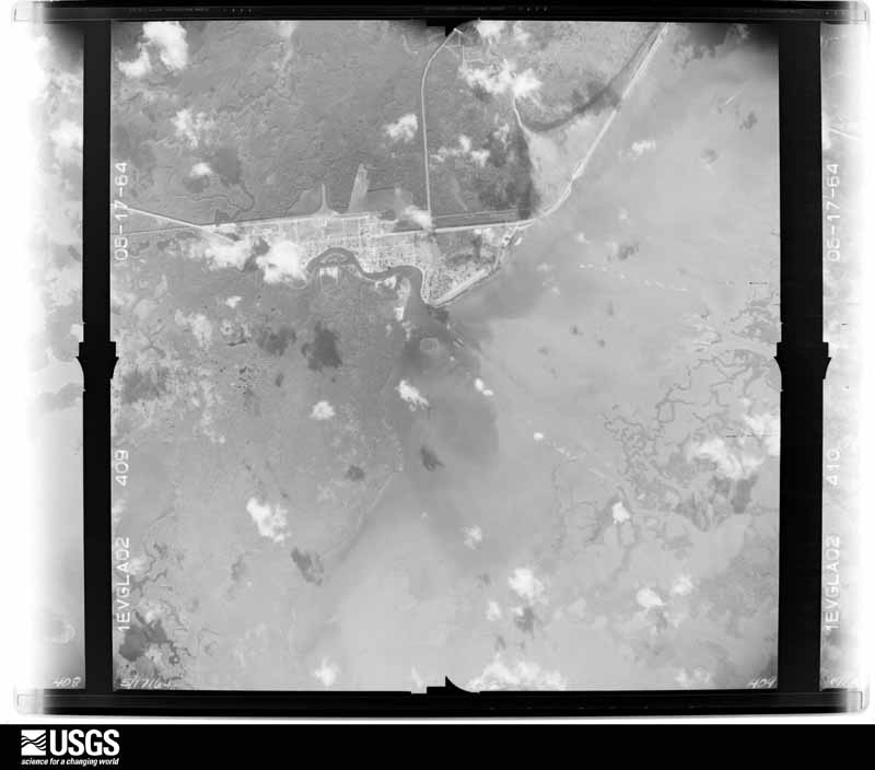
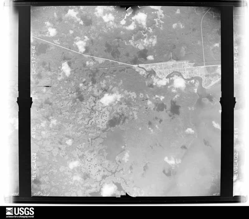
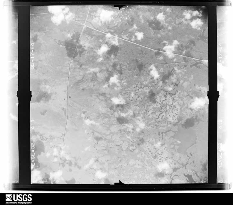
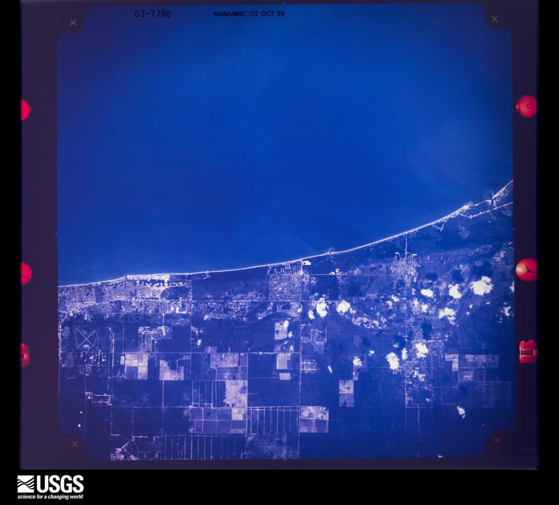
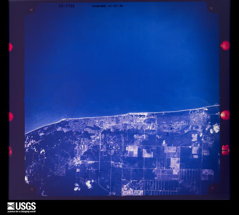
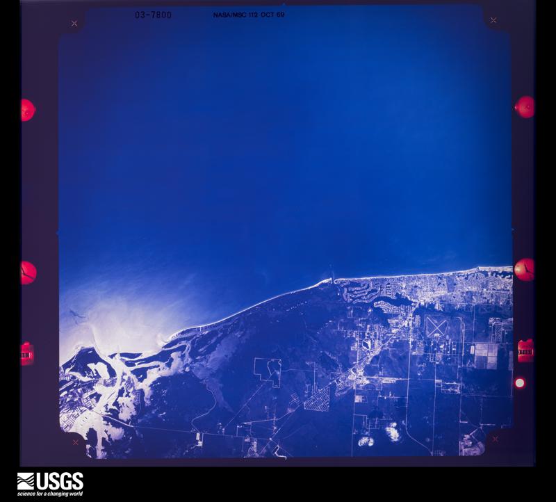
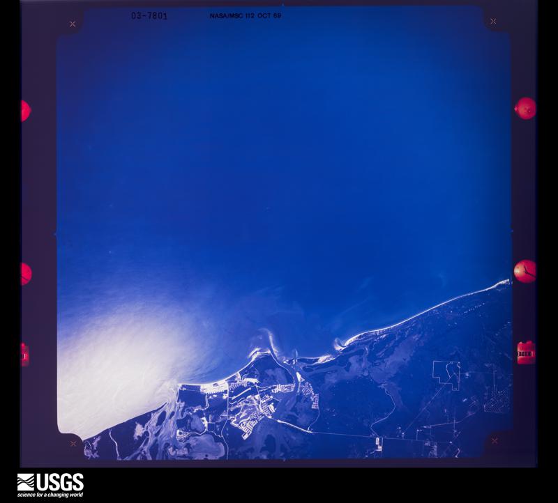
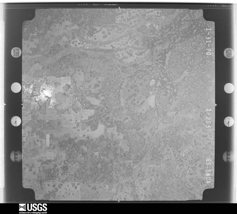
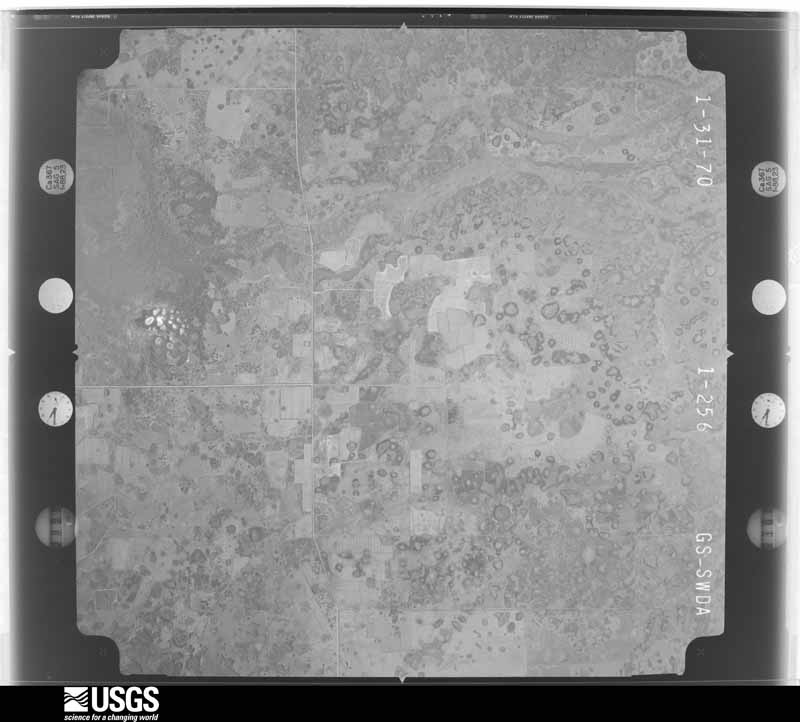
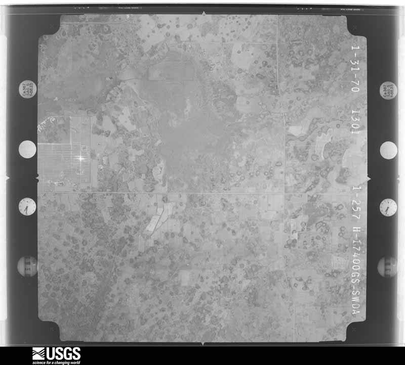
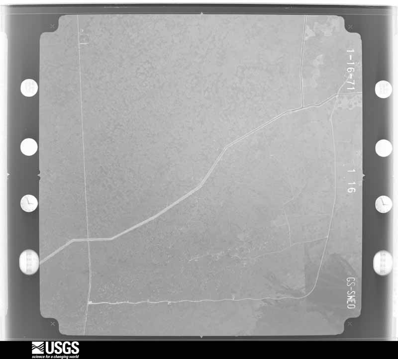
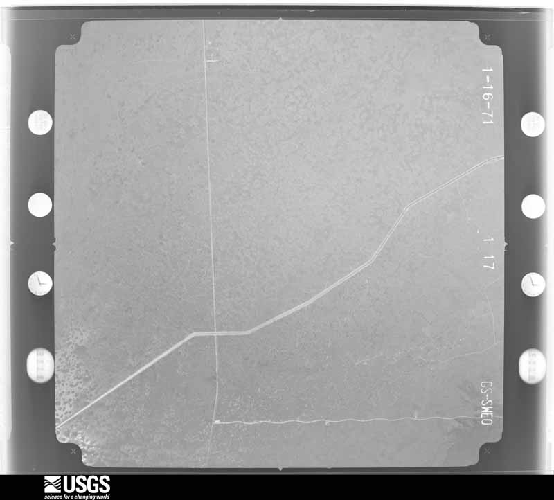
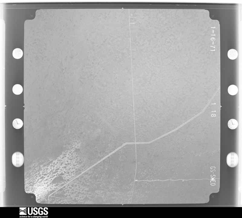
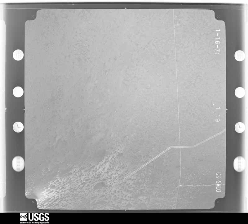
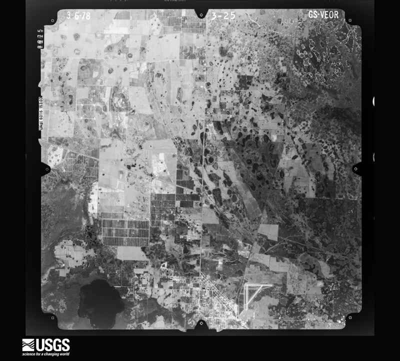
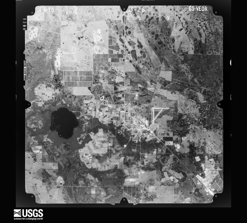
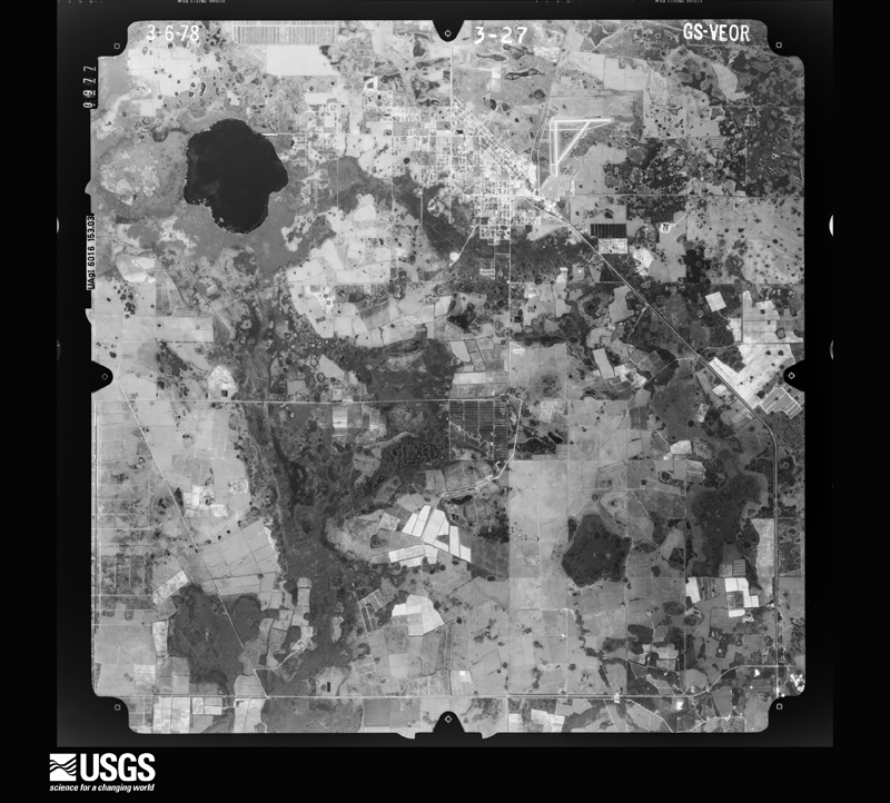
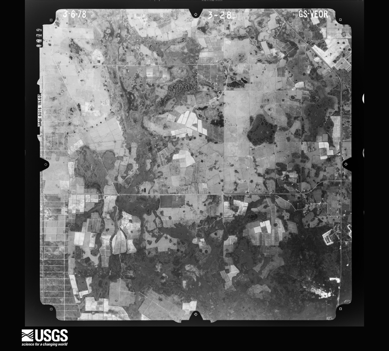
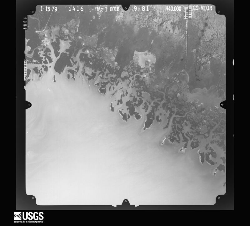
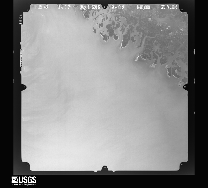
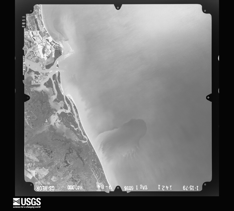
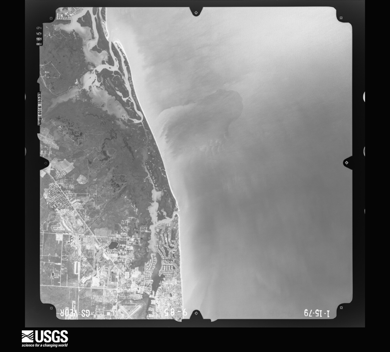
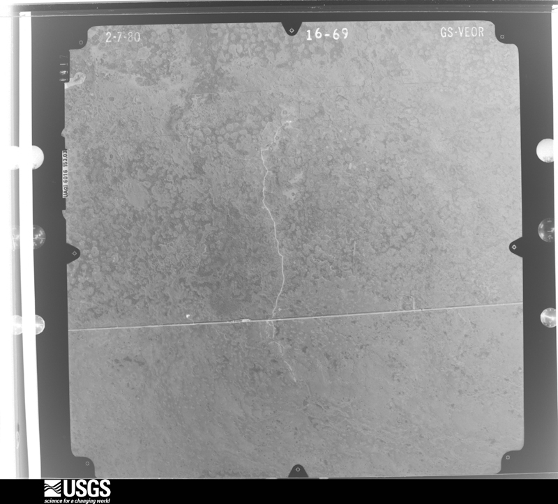
Flown by the U.S. Geological Survey between 1937 and 1989, the Aerial Photo Single Frames collection is the definitive mid-century view of the land: fields, roads and rivers as the camera saw them. The Survey holds 3,426 frames inside the rectangle that bounds this county; the 48 frames below were taken over the county itself, chosen across the decades of flights (at most four a year from that rectangle), so one flight cannot crowd out the rest. The full set is free to browse and download at EarthExplorer under the dataset Aerial Photo Single Frames.
The thermometers that kept this county's weather, and the gages that measured the flow of its streams, as the federal records hold them. The extremes below are measured values from those records, not estimates.
Who lived here in 1950, one enumeration district at a time, as the Census Bureau described each district. Each row opens its official National Archives result, with Population Schedules and ED Maps available there.
Every wildfire the federal occurrence database records inside this county: 3,930 of them, burning about 700,029 acres. 1,558 started naturally and 312 were recorded as arson. Each settlement page carries the fires within five miles of it.
| Reported cause | Fires |
|---|---|
| Natural | 1558 |
| Missing data/not specified/undetermined | 736 |
| Railroad operations and maintenance | 584 |
| Arson/incendiarism | 312 |
| Equipment and vehicle use | 305 |
| Debris and open burning | 170 |
| Misuse of fire by a minor | 122 |
| Recreation and ceremony | 61 |
| Power generation/transmission/distribution | 37 |
| Smoking | 30 |
| Fireworks | 8 |
| Other causes | 6 |
| Firearms and explosives use | 1 |
The five largest, by the area the report gives. None of them was recorded as arson.
| Date | Cause | Size | Reported by | Name on the report |
|---|---|---|---|---|
| 7 May 2007 | Natural | 63,599 acres | Big Cypress National Preserve | BICY COMPLEX |
| 10 April 2018 | Natural | 62,404 acres | Big Cypress National Preserve | BUZZARD |
| 26 April 2011 | Natural | 38,131 acres | Big Cypress National Preserve | JARHEAD |
| 22 April 2009 | Natural | 29,112 acres | Big Cypress National Preserve | DEEP FIRE |
| 18 March 2017 | Smoking | 26,371 acres | Big Cypress National Preserve | PARLIAMENT WF |
| 16 May 2001 | Recreation and ceremony | 24,315 acres | Big Cypress National Preserve | BEARISLAND |
| 8 May 2015 | Natural | 22,488 acres | Big Cypress National Preserve | ELLISON |
| 30 March 2017 | Natural | 21,963 acres | Big Cypress National Preserve | COWBELL |
Every settlement page carries the fires within five miles of it - see the settlement index below.
The NOAA Storm Events Database holds 418 reports for this county, causing 13 deaths, 60 injuries and about $13,254,470 in recorded property damage. Each settlement page carries the reports that name it.
| Kind of event | Reports |
|---|---|
| Thunderstorm Wind | 110 |
| Tornado | 71 |
| Hail | 56 |
| Funnel Cloud | 56 |
| Lightning | 41 |
| Waterspout | 30 |
| Flood | 28 |
| Flash Flood | 12 |
| Heavy Rain | 6 |
| Wildfire | 5 |
| Rip Current | 3 |
The most serious of them, by death, then injury, then recorded damage. The accounts are quoted exactly as the forecast office filed them.
| When | Event | Place named | Harm | What the report says |
|---|---|---|---|---|
| November 1968 | Tornado (F2) | not stated | 2 killed, 17 hurt, $25,000 | no account filed |
| August 1996 | Lightning | Naples Park | 2 killed, 6 hurt | no account filed |
| September 1997 | Rip Current | Marco | 2 killed | two women swam to sand dollar island...a narrow stretch of sand about 100 feet off tigertail beach. they were overcome by waves and currents. |
| April 2003 | Lightning | Immokalee | 1 killed, 2 hurt | A 52-year old Mexican national was killed while working near a ditch at a farm two miles from Oil Well Road. Two other men standing about 10 feet away were injured by the same lightning strike. It was raining heavily at the time. It was raining heavily at the time. |
| August 2024 | Lightning | Naples | 1 killed, 1 hurt | Local broadcast media reported two males sustaining injuries from a lightning strike in the water next to Naples Pier. Time is based on data from the National Lightning Detection Network. Two weeks later, local media reported that one of the men passed away after being in critical condition since the lightning strike. |
| May 1996 | Rip Current | Naples Muni Arpt | 1 killed, 1 hurt | no account filed |
| July 2021 | Lightning | Marco | 1 killed | Broadcast media relayed a report of a 17-year-old teenage boy from Georgia struck by lightning at Residents Beach on Marco Island due to a thunderstorm in the vicinity. Injuries were severe and the teen was airlifted to a hospital in Miami. Eleven (11) days later on July 28th, he unfortunately passed away due to his injuries. |
| May 2016 | Lightning | Golden Gate | 1 killed | OSHA reported a fatality due to a lightning strike to a construction worker who was struck while working on a roof. The date of death was reported to be the following day, May 29th, 2016. |
| June 2013 | Lightning | Corkscrew | 1 killed | Lightning fatally struck a 35 year old male construction worker who was working on the exterior of a single family home on scaffolding. |
| June 1998 | Rip Current | Marco | 1 killed | 34 year old male drowned at Tigertail Beach on Marco Island. His 3 year old son was rescued between Tigertail Beach and Sand Dolllar Beach. Actual time of event unknown. |
| July 1991 | Thunderstorm Wind | not stated | 4 hurt | no account filed |
| March 1999 | Wildfire | Golden Gate | 3 hurt, $350,000 | no account filed |
| November 1968 | Tornado (F2) | not stated | 3 hurt, $250,000 | no account filed |
| April 1999 | Thunderstorm Wind | Naples | 3 hurt, $25,000 | no account filed |
| June 2025 | Lightning | Marco | 3 hurt | Marco Island Police Department reported three minor injuries associated with lightning striking a tiki hut along Marco Island Beach. All three individuals were transported for further assessment. |
| August 2016 | Lightning | Marco | 3 hurt | A family visiting from out of town was leaving the south beach area of Marco Island as storms approached when lightning struck near their location. A 15 year old male, as well as his brother and another female fell into the sand. All three were able to recover, but the 15 year old male reported numbness in the chest, legs, and arms. All three victims and was taken to a local hospital and later released with minor injuries. |
| July 2021 | Lightning | North Naples | 2 hurt | Broadcast media relayed a report of two people, one adult and one child, struck by lightning on Clam Pass Beach in Naples. Injuries were minor to moderate and both persons were taken to a local hospital. |
| June 2009 | Lightning | Corkscrew | 2 hurt | Two truck drivers were shocked by a nearby lightning strike as they were loading a dump truck in the Golden Gate Estates area. Both men received minor burns on their thighs and complained that their feet were stinging and burning. The injuries were not believed to be serious. One of the men was 22 years old and the other's age was unclear. |
| July 1997 | Lightning | Naples | 2 hurt | a seventeen year old female and a 14 year old male (brother) were parasiling just offshore northwest naples. a lightning bolt struck the parasail cable. witness reported watching the two drop 150 feet to the water .both had second and third degree burns on twenty to thirty percent of their bodies. |
| March 1998 | Tornado (F1) | Naples | 1 hurt, $800,000 | At 310 est tornado touched down near gordon dr/21st ave and broke a half dozen trees in Port Royal. The tornado skipped across Naples Bay before destroying 10 pool cages in Royal Harbor. the tornado moved through Naples Land-Yacht Harbor destroying 6 and damaging another 30 mobile homes. A 17 foot fishing boat was tossed up on the dock. The tornado moved through the Palm Lake park on Becca ave blowing out three carports. the path continued northeast crossing Bayshore dr near U.S. 41 decimating one garage and 3 carports and damaging 9 mobile homes. |
| August 2006 | Lightning | Lelyland | 1 hurt, $500,000 | Lightning sparked a fire that damaged 12 units in a three-story condominium building in Lely. Several of the units were damaged enough so that families were displaced and it is estimated that it could take up to 12 months for the repairs to be completed. One person was taken to the hospital and treated for smoke inhalation.Damage to the complex was estimated at "at least $500,000" according to East Naples Fire Department officials. |
| January 2022 | Tornado (EF0) | Marco | 1 hurt, $20,000 | Video from the public at Isle of Capri shared via social media captured the tornado as a waterspout before it came ashore. Surveyed tornado damage was found in the Victoria Falls neighborhood west of Collier Blvd and south of Tamiami Trail. A total of 20 homes sustained at least minor damage. Several uprooted trees, broken large branches, and at least two homes with tarps on roofs indicative of roof damage were observed in this neighborhood. ||Tornado damage was also observed north of Tamiami Trail in Lely Resort. Here, the surveyed damage was mainly in the form of a few uprooted small trees, one uprooted palm tree, and broken large tree branches. The tops of a few palm trees were partially sheared off at the crown with only a few fronds remaining as well. A street sign was knocked over on Palmer Ct in Lely Resort. ||As the cell moved to the northeast, the tornado eventually crossed Interstate 75 near mile marker 96 where it blew over a semi-tractor trailer, injuring the driver, according to the Florida Highway Patrol. Estimated peak wind of 85 mph - high-end EF-0. |
| August 2003 | Lightning | Naples | 1 hurt, $5,000 | A man inside a pump house was injured by a lightning strike. The lightning entered the building through the electrical system and started a fire which damaged the inside of the structure. |
| August 2015 | Lightning | East Naples | 1 hurt | Tour boat captain was struck by lightning on deck of vessel while returning back from Gulf of Mexico through Gordon Pass during stormy weather. Boat captain sustained minor injuries and was held overnight at hospital for monitoring. |
| June 2012 | Tornado (EF0) | Naples Park | 1 hurt | A brief tornado touchdown occurred at the North Collier Hospital in North Naples on the corner of Immokalee and Goodlette-Frank Roads. Damage was reported to trees and light poles broken off, but no structural damage to the hospital. One person was struck by a downed tree limb and was treated on-site. The tornado was likely spawned by the same storm that produced the earlier tornado in East Naples. |
| August 2006 | Lightning | Golden Gate | 1 hurt | The school principal at Golden Gate Elementary School was struck by lightning as he was dismissing students at the school. He was treated at the scene and released. It was raining heavily and the principal was holding an umbrella when struck. |
| June 1997 | Lightning | Naples | 1 hurt | 30 yr old man inside garage with wrench in hand was thrown 10 feet away from back of truck on which he was working. unconcious about 10 minutes. held overnight for observation. location just north of alico road near u.s. 41. |
| March 1983 | Tornado (F2) | not stated | $2,500,000 | no account filed |
| June 2015 | Lightning | Naples | $2,000,000 | Lightning struck a house in the Aqualane Shores Neighborhood in Naples around 6 PM EDT. Fire-Rescue crews reported heavy smoke and fire coming out of the attic of the two-story house. It took crews close to three hours to extinguish the fire. The house sustained very heavy fire, smoke, heat and water damages with the losses estimated at close to $2 million dollars when factoring both structural and content losses. A firefighter was injured when a section of ceiling collapsed on the second floor, knocking him to the ground and causing shoulder and back injuries. He was transported to a local hospital. |
| September 2013 | Lightning | North Naples | $2,000,000 | Lightning struck the Greater Naples YMCA building on Pine Ridge Road and induced a fire reported by the Fire Marshall. Firefighters responded to the fire at 330 PM EDT to the fire already in progress. About 20,000 square feet of the building was completely burned, with the Gym sustaining most of the damage. Damage was estimated at 2 million dollars. |
| July 1994 | Tornado (F0) | Naples | $500,000 | A waterspout moved onshore from the Gulf of Mexcio ripping the atrium roof from one condominium, and damaging awnings and sliding glass doors in two others. Damage was estimated at $200,000. |
| February 2008 | Tornado (EF0) | Everglades City | $444,590 | An EF0 Tornado touched down at the Everglades City Airport, flipping two Cessna Aircrafts while moving northeast. The tornado then moved across western sections of Everglades City producing roof and minor structural damage to a condo, school, and storage building and also downing trees and power poles and damaging fences before dissipating on the north side of town. |
| February 1995 | Tornado | East Naples | $300,000 | A brief tornado touched down in the Hitching Post RV Travel resort in East Naples, heavily damaging eight mobile homes, motor homes, and recreational vehicles. |
| September 1998 | Tornado (F0) | East Naples | $250,000 | The f0 tornado touched down near Quail Hollow along Rattlesnake Hammock Road and moved to the west northwest to the Riviera Golf Course. Storefront glass was shattered. Signs...tree limbs and street lights were blown down. Roofs...carports and patios were destroyed at mobile home park. |
| March 1983 | Tornado (F1) | not stated | $250,000 | no account filed |
| September 1982 | Tornado (F1) | not stated | $250,000 | no account filed |
| April 2000 | Wildfire | Golden Gate | $200,000 | no account filed |
| September 1999 | Flash Flood | Naples | $200,000 | no account filed |
| April 1997 | Tornado (F0) | Pelican Marsh | $200,000 | no account filed |
| July 2001 | Flash Flood | Marco | $150,000 | At least four residences and 20 vehicles were damaged by flood waters on Marco Island and in East Naples. 48-hour rainfall amounts of 4 to 10 inches of rain were measured over southwest Florida as a trough of low pressure stalled in the eastern Gulf of Mexico. Radar estimated 8-12 inches of rain fell over a 96-hour period in Marco Island. Strong onshore winds caused some minor tidal flooding of streets. |
| August 2023 | Tornado (EF0) | (Apf)Naples Muni Arp | $100,000 | A brief tornado occurred during the early evening of Thursday August |24, 2023 in Naples. The tornado was believed to have touched down near |Roseate Dr and Robin Ave where multiple large tree branches were snapped off. |The tornado then traveled SW and did some roof damage to a home on Cardinal |St. Additional minor tree and aluminum damage was observed near the |Walker Technical College. The strongest wind damage was observed in the |vicinity of the college where 9 vehicles were damaged in the parking lot. Some |of the car damage was from a falling tree, and other damage was from cars being |moved into each other by the wind. The tornado then crossed Airport Rd south |of Estey Ave before lifting. Wind speeds were mostly estimated between 50-60 mph |however the strongest winds near the technical college were estimated to be |around 80 mph, for a rating of EF-0. |
| April 2004 | Tornado (F1) | Golden Gate | $100,000 | A tornado associated with a squall line touched down near I-75 and Santa Barbara Boulevard. and lifted near the Golden Gate Parkway. The tornado caused minor roof damage to houses, destroyed sheds and uprooted trees. Minor damage was also reported at Naples Municipal Airport. |
| March 1998 | Thunderstorm Wind | Immokalee | $100,000 | At Immokalee Regional Airport one aircraft destroyed and 3 aircraft damaged. A metal building was also damaged. One quarter mile away a feed and supply store reported roof damage. |
| February 1995 | Thunderstorm Wind | Naples | $100,000 | Seven light aircraft at Naples Municipal Airport were damaged by severe thunderstorm winds. Two Cessna 172 aircraft were flipped by the wind, one of which damaged a hangar. |
| September 2003 | Flash Flood | West Portion | $100,000 | no account filed |
| July 2019 | Lightning | Naples Park | $80,000 | Multiple Broadcast media reports of an apartment fire loacated at the Emerald Woods Apartment Complex in North Naples. The cause of the fire was determined to be from a lightning strike associated with a storm in the area. There was damage to two units with one having significant damage. |
| September 2008 | Lightning | Collier City | $75,000 | Lightning struck a 5 foot concrete wall in front of a Marco Island residence, blowing out 60 to 70 pound chunks of the wall. Some of the concrete traveled about 40 feet into the neighbors yard and also into the front of the house. Holes were gouged in the front door. Two gas lamps along the driveway also exploded leaving a hole about a foot in diameter. The bolt also caused damage to the homes electronics. Total estimated cost of the damage to the concrete wall, lamps, front door, garage, and electronics was around $75,000. |
| September 2004 | Tornado (F1) | East Naples | $75,000 | A tornado touched down in a vacant construction site just south of the Imperial Wilderness Mobile Home Park then moved northwest through the MHP. Damage was sustained to twenty homes with six suffering major damage. |
| February 2006 | Heavy Rain | Golden Gate | $60,000 | Heavy rains caused roofs to collapse on 2 homes in Golden Gate. No injuries were reported. |
| May 2020 | Lightning | North Naples | $50,000 | Broadcast media reported a house fire due to a lightning strike near the corner of Ridge Dr and East Ave near North Naples. The family had safely evacuated the home by the time crews arrived on scene. Naples Fire-Rescue Department confirms a lightning strike hit the roof of a home, causing the flames. Damage totals are estimated. |
| August 2006 | Thunderstorm Wind | East Naples | $50,000 | Four mobile homes suffered minor damage from strong downburst winds during a thunderstorm at Naples Mobile Home Estates in East Naples. Most of the damage was done to carports, windows and screens. Damage survey done by Collier County Emergency Management Agency officials determined the source of the winds to be from a downburst and not tornado-related. |
| March 2003 | Tornado (F1) | Naples Muni Arpt | $50,000 | A tornado touched down in the Poinciana Village Subdivision. Several house roofs sustained damage to shingles and wood. Trees were also blown down. |
| June 2001 | Thunderstorm Wind | Vanderbilt Beach | $50,000 | A severe thunderstorm moved from North Naples to Vanderbilt Beach blowing down several large trees. There was also damage to several vehicles and the window of a condominium was blown out. |
| February 1998 | Tornado (F0) | Marco | $50,000 | F0 touched down near 1165 Bald Eagle DR. Roof was torn off screen enclosure. Large festival tents were blown down and damaged. Several trees were downed. |
| April 1993 | Tornado (F0) | North Naples | $50,000 | Two mobile homes in Caribbean Mobile Home Park received minor damage from a small tornado. Screening around a pool was destroyed, a garage door buckled, and several trees were mangled or uprooted. Damage estimate was $25,000. |
| May 1993 | Thunderstorm Wind | Immokalee | $50,000 | Strong thunderstorm winds stripped insulation from the roof of a house and uprooted several trees, one of which fell on a car. |
| June 1999 | Lightning | Naples | $50,000 | no account filed |
| August 2014 | Flash Flood | Naples | $40,000 | Intense rainfall associated with several bands of thunderstorms developed across much of the Naples area during the early afternoon. The band moved little between 1230 EDT and 1500 EDT with the training of cells leading to copious rain amounts and severe street flooding in parts of Naples and Golden Gate. The first report of flooding was received from a trained spotter at 1405 EDT and stated that at least two feet of water was on roads near Airport Road and Mercantile Avenue with cars stalled out. The Collier County Sheriffs Office reported at around 1510 EDT that there was severe flooding and stalled vehicles from Collier Blvd. to Tamiami Trail with some roads closed. Rainfall totals included 7 inches at Naples Beach Hotel and Club with 6.73 inches at the Naples Municipal Airport. A trained spotter measured 4.21 inches in just under an hour in the area of Airport and Pine Ridge Roads.||A few businesses had water enter their structures, with one business estimating $12,000 in damage. Over 300 cars were towed from area streets due to stalling in deep water. Damage total indicated in this report is estimated and based on number of cars stalled as well as the damage to businesses from water intrusion. |
| July 2007 | Lightning | North Naples | $40,000 | Lightning struck a house in Naples at 5220 Seahorse Drive. The roof was badly damaged, as well as a room in the back of the house. |
| October 2005 | Tornado (F1) | Copeland | $40,000 | Tornado reported by Ochopee Fire Rescue near intersection of Tamiami Trail (US 41) and State Road 29, moving rapidly northwest. Tornado moved through Copeland, 3 miles north of the intersection, causing damage to power poles and transformers, slightly damaging structures, and uprooting large trees. The tornado was associated with an outer band of approaching Hurricane Wilma. |
The Survey's mineral resources record lists 23 workings inside this county. 15 still produce and 8 are closed or unrecorded. Each settlement page carries the workings within five miles of it.
| Commodity | Workings |
|---|---|
| Stone, Crushed/Broken | 10 |
| Limestone, General | 7 |
| Sand | 5 |
| Sand and Gravel, Construction | 1 |
The least common of them first, because a county's hundredth gravel pit says nothing its first ten did not.
| Where | Site | Commodity | Status | Recorded |
|---|---|---|---|---|
| Crapse Pit | Sand and Gravel, Construction | Past Producer | ||
| Collier County Board of Co Comm. - Sr 951 | Sand | Unknown | ||
| Dirt Movers of America - Dirt Movers Pit | Sand | Producer | ||
| Highway Pavers, Inc. - Shady Hollow Mine | Sand | Unknown | ||
| Orange Tree Associates - Orange Tree Mine | Sand | Producer | ||
| Wilson, Miller, Et. Al. - Southwood Mine | Sand | Unknown | ||
| Berkshire Lake | Limestone, General | Producer | Limestone | |
| Florida Rock Ind. - Naples Quarry | Limestone, General | Producer | Limestone | |
| Florida Rock Ind. - Sunniland Quarry | Limestone, General | Producer | Limestone | |
| Harmon Brothers - Copeland Quarry | Limestone, General | Producer | Limestone | |
| Harper Brothers - Berkshire Lk. Quarry | Limestone, General | Producer | Limestone | |
| Macasphalt - Golden Gate Quarry | Limestone, General | Producer | Limestone | |
| Southern Sand and Stone - Willow Run | Limestone, General | Producer | Limestone | |
| Golden Gate Quarry | Stone, Crushed/Broken | Past Producer | ||
| Golden Gate Quarry | Stone, Crushed/Broken | Producer | ||
| Golden Gate Quarry | Stone, Crushed/Broken | Producer | ||
| Maples Limerock South Quarry | Stone, Crushed/Broken | Past Producer | ||
| Mule Pen Rock Quarry | Stone, Crushed/Broken | Producer | ||
| Naples Limerock North Quarry | Stone, Crushed/Broken | Producer | ||
| North Quarry | Stone, Crushed/Broken | Producer | ||
| Ochopee Quarry | Stone, Crushed/Broken | Past Producer | ||
| Sunniland Quarry | Stone, Crushed/Broken | Producer | ||
| Virgil Marcom Pit | Stone, Crushed/Broken | Unknown |
Named settlements recorded in the Geographic Names Information System, each with the topographic sheets covering it. Villages, hamlets and abandoned places alike. Each is shown with the nearest named watercourse or landform and the survey quadrangle it falls on.
Marco Island census division · 34145 · Near Pass Key · Marco Island quadrangle
12 sheets, 1956 to 1995
Everglades census division · 34138 · On Chokoloskee Island · Chokoloskee quadrangle
11 sheets, 1956 to 1988
Everglades census division · 34141 · Near Hollywood Head · Deep Lake quadrangle
12 sheets, 1956 to 1987
Everglades census division · 34114 · Near Foster Key · Royal Palm Hammock quadrangle
9 sheets, 1956 to 1988
Naples census division · 34104 · On Rock Creek · Naples North quadrangle
15 sheets, 1956 to 1987
Everglades census division · 34141 · On Barron River · Everglades City quadrangle
10 sheets, 1956 to 1988
Everglades census division · Near Ten Thousand Islands · Everglades City quadrangle
10 sheets, 1956 to 1988
Naples census division · 34117 · Belle Meade NE quadrangle
13 sheets, 1956 to 1987
Marco Island census division · 34140 · Near Blue Hill · Marco Island quadrangle
12 sheets, 1956 to 1995
Everglades census division · 34114 · On West Palm Run · Royal Palm Hammock quadrangle
9 sheets, 1956 to 1988
Naples census division · 34110 · On Cocohatchee River · Bonita Springs quadrangle
14 sheets, 1956 to 1987
Immokalee census division · 34142 · Near Owl Hammock · Sunniland quadrangle
12 sheets, 1956 to 1987
Naples census division · 34113 · Near Johnson Island · Marco Island quadrangle
12 sheets, 1956 to 1995
Naples census division · 34113 · Near Rattlesnake Hammock · Belle Meade quadrangle
14 sheets, 1956 to 1987
Marco Island census division · 34145 · Near Stingaree Island · Marco Island quadrangle
12 sheets, 1956 to 1995
Everglades census division · 34141 · Near Model T Flat · Miles City quadrangle
13 sheets, 1956 to 1987
Naples census division · 34102 · On Rock Creek · Naples North quadrangle
15 sheets, 1956 to 1987
Everglades census division · 34114 · On West Palm Run · Royal Palm Hammock quadrangle
9 sheets, 1956 to 1988
Everglades census division · 34114 · Belle Meade quadrangle
14 sheets, 1956 to 1987
Naples census division · 34110 · Bonita Springs quadrangle
14 sheets, 1956 to 1987
Naples census division · 34110 · Bonita Springs quadrangle
14 sheets, 1956 to 1987
Everglades census division · 34114 · Belle Meade quadrangle
14 sheets, 1956 to 1987
Everglades census division · 34141 · On Halfway Creek · Chokoloskee quadrangle
11 sheets, 1956 to 1988
Naples census division · 34102 · On Haldeman Creek · Naples South quadrangle
14 sheets, 1956 to 1987
Everglades census division · 34141 · On Rock Island Prairie · Deep Lake quadrangle
12 sheets, 1956 to 1987
Naples census division · 34102 · On Haldeman Creek · Naples South quadrangle
14 sheets, 1956 to 1987
Everglades census division · 34114 · Royal Palm Hammock quadrangle
9 sheets, 1956 to 1988
Naples census division · 34113 · On Shell Island · Belle Meade quadrangle
14 sheets, 1956 to 1987
Everglades census division · 34141 · Thompson Pine Island quadrangle
11 sheets, 1956 to 1987
Naples census division · 34108 · Bonita Springs quadrangle
14 sheets, 1956 to 1987
Everglades census division · 34141 · Near Thompson Pine Island · Thompson Pine Island quadrangle
11 sheets, 1956 to 1987
Everglades census division · 34137 · Weavers Station quadrangle
11 sheets, 1956 to 1988