 Block
Block
Lawrence, Massachusetts
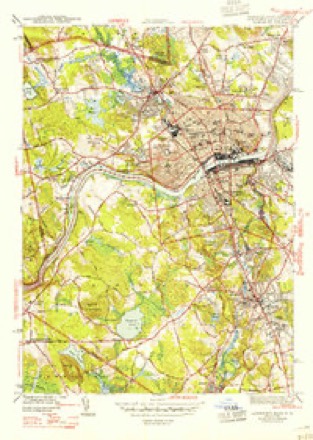
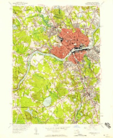
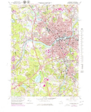
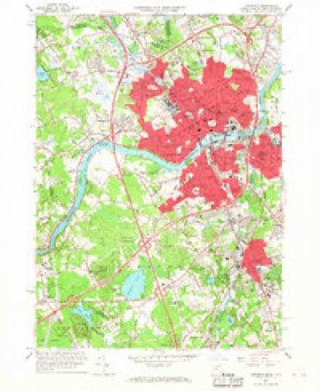
38 topographic sheets cover this place, the earliest surveyed in 1886 and the latest in 1988. It stands in Lawrence City. It lies in ZIP code area 01840. It stands on Bloody Brook. The Survey maps it on the Lawrence quadrangle. 89,143 people lived here at the 2020 count. It stands 36 feet above sea level.
Population over time
3 figuresLawrence grew from 76,377 to 89,143 between 2010 and 2020. These are the recorded population figures Wikidata holds for this place, reached through the Geographic Names Information System number this page is keyed on rather than by name, so they belong to this place and not to another of the same name. Most are census counts, but not all are: an early figure may be a founding or settlement estimate. The change column is computed, and is left blank where more than 20 years separate a figure from the one before it, because a gap that long is not a change between two counts.
| Year | People | Change |
|---|---|---|
| 2010 | 76,377 | |
| 2014 | 78,167 | +1,790 (+2%) |
| 2020 | 89,143 | +10,976 (+14%) |
Then and now
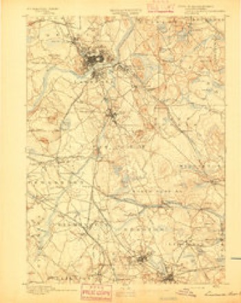
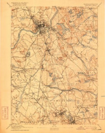
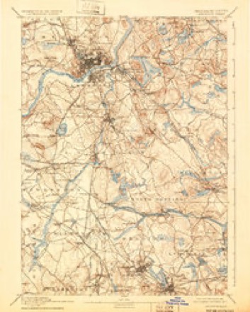
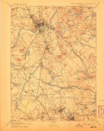
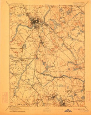
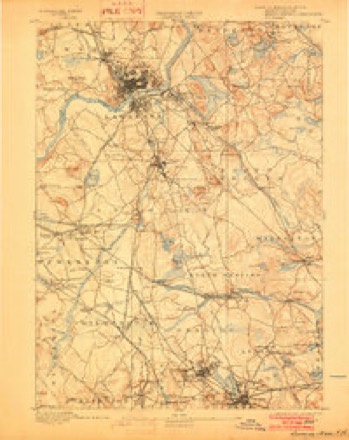
1886 to 1988The same ground, surveyed 102 years apart. Drag the handle to wipe between them. Both sheets are United States Geological Survey originals; neither has been altered.
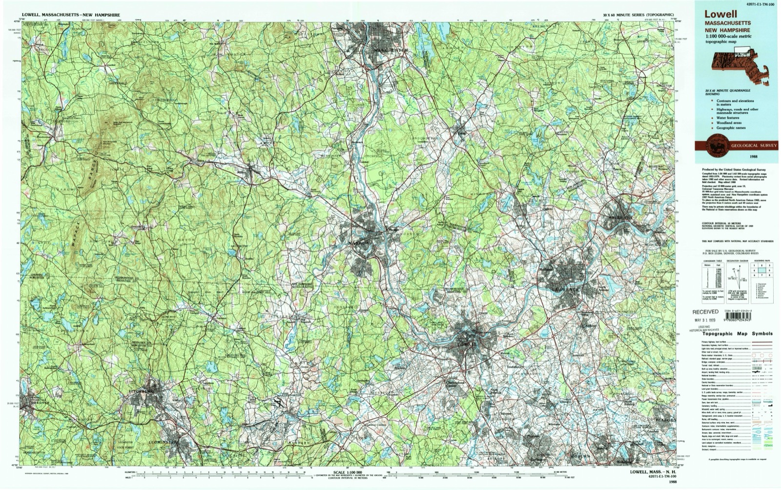
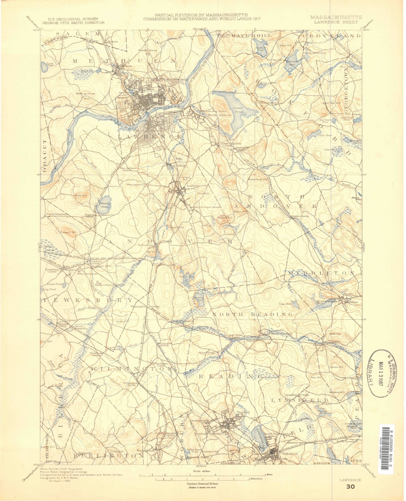
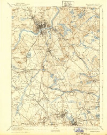
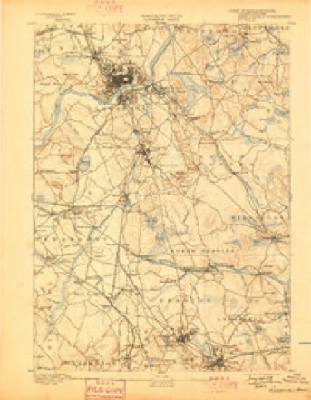
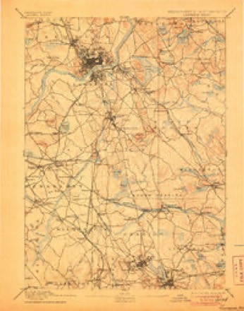
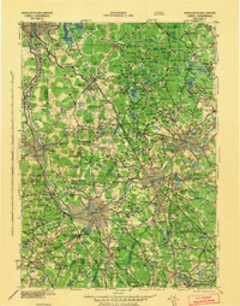
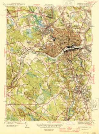
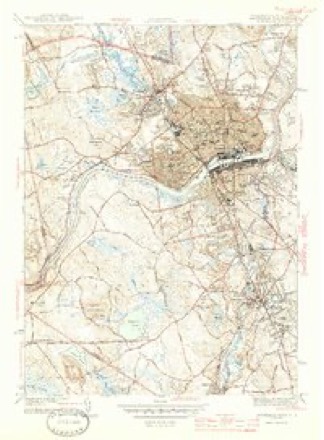
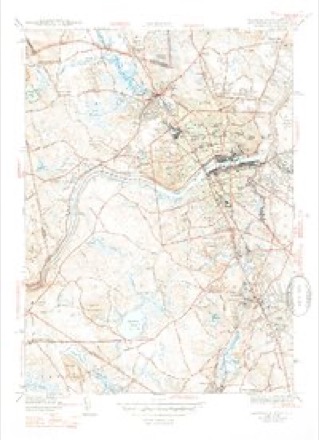
Topographic sheets covering this place
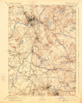
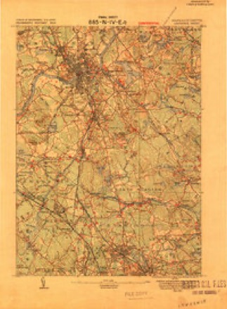
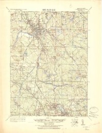
38 sheetsMatched by testing this settlement's coordinate against the published boundary of every sheet in the United States Geological Survey's historical collection. Each opens the scanned sheet at the Survey.
- 1886 USGS Lawrence quadrangle1:62500
- 1888 USGS Lawrence quadrangle1:62500
- 1893 USGS Lawrence quadrangle1:62500
- 1893 USGS Lawrence quadrangle1:62500
- 1893 USGS Lawrence quadrangle1:62500
- 1893 USGS Lawrence quadrangle1:62500
- 1893 USGS Lawrence quadrangle1:62500
- 1893 USGS Lawrence quadrangle1:62500
- 1893 USGS Lawrence quadrangle1:62500
- 1893 USGS Lawrence quadrangle1:62500
- 1893 USGS Lawrence quadrangle1:62500
- 1893 USGS Lawrence quadrangle1:62500
- 1918 USGS Lawrence quadrangle1:62500
- 1918 USGS Lawrence quadrangle1:62500
- 1943 USGS Lowell quadrangle1:125000
- 1944 USGS Lawrence quadrangle1:31680
- 1944 USGS Lawrence quadrangle1:31680
- 1944 USGS Lawrence quadrangle1:31680
- 1944 USGS Lawrence quadrangle1:31680
- 1948 USGS Boston quadrangle1:250000
- 1948 USGS Boston quadrangle1:250000
- 1955 USGS Lawrence quadrangle1:24000
- 1956 USGS Boston quadrangle1:250000
- 1956 USGS Boston quadrangle1:250000
- 1956 USGS Boston quadrangle1:250000
- 1956 USGS Boston quadrangle1:250000
- 1956 USGS Boston quadrangle1:250000
- 1956 USGS Boston quadrangle1:250000
- 1958 USGS Boston quadrangle1:250000
- 1958 USGS Boston quadrangle1:250000
- 1961 USGS Boston quadrangle1:250000
- 1961 USGS Boston quadrangle1:250000
- 1966 USGS Lawrence quadrangle1:25000
- 1966 USGS Lawrence quadrangle1:24000
- 1984 USGS Lowell quadrangle1:100000
- 1987 USGS Lawrence quadrangle1:25000
- 1988 USGS Lowell quadrangle1:100000
- 1988 USGS Lowell quadrangle1:100000












Photographs
6 photographs, 1941Taken for the Office of War Information and the Farm Security Administration, who photographed the country between 1935 and 1944. Works of United States government photographers, with no known restriction on use. Each opens its catalogue record.
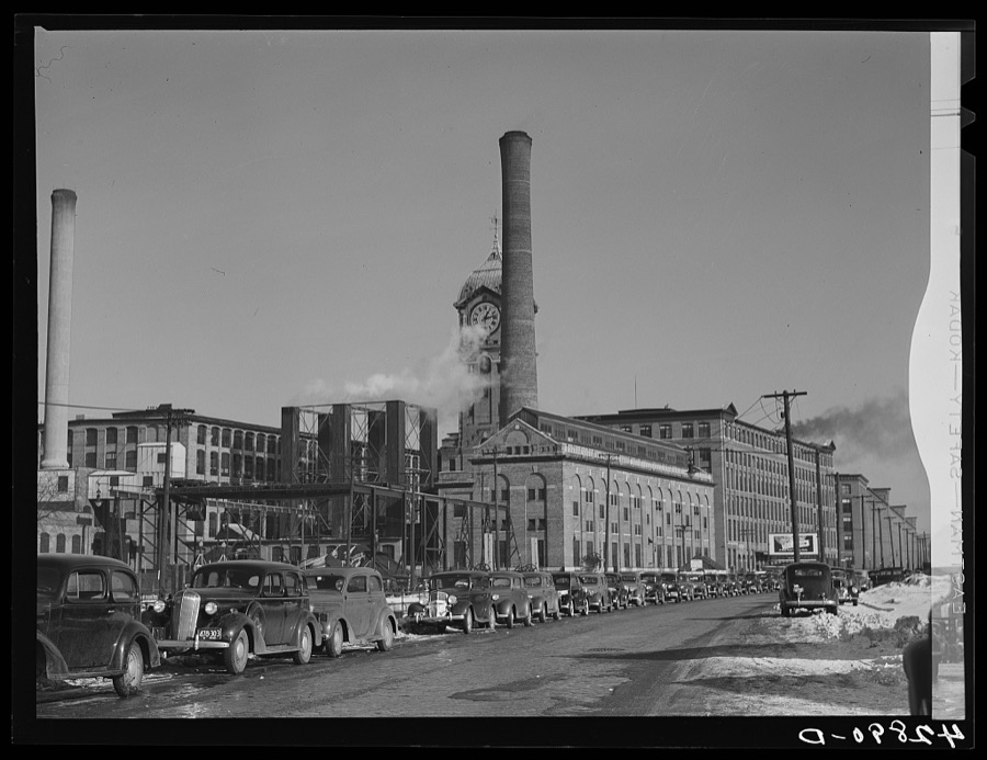
Delano, Jack, 1941. Library of Congress
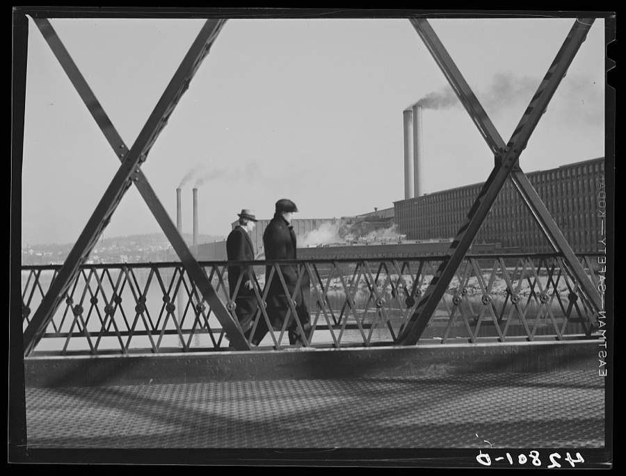
Delano, Jack, 1941. Library of Congress
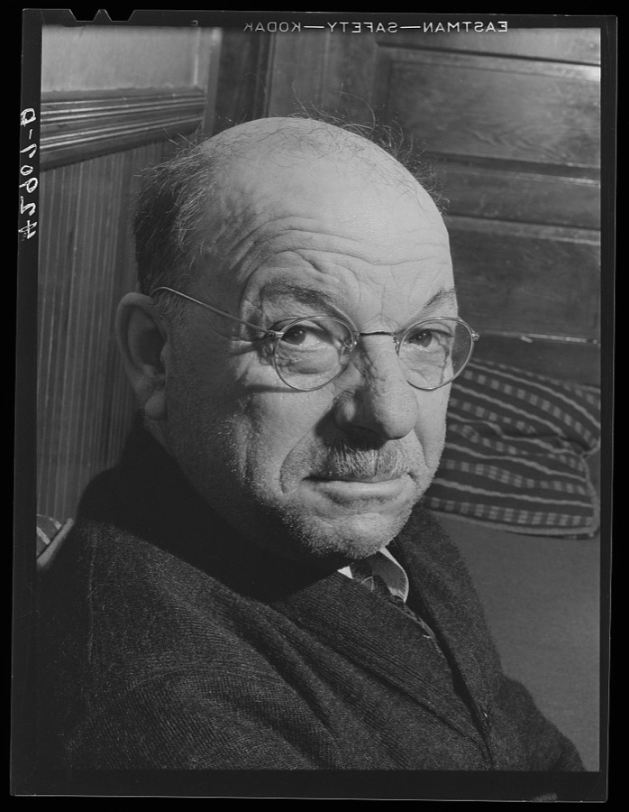
Delano, Jack, 1941. Library of Congress
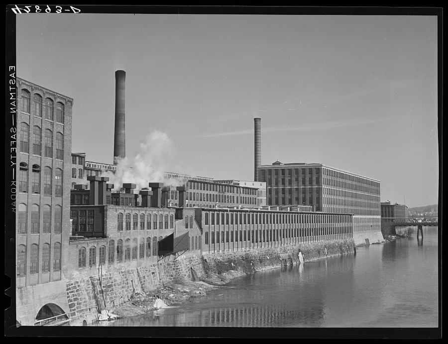
Delano, Jack, 1941. Library of Congress
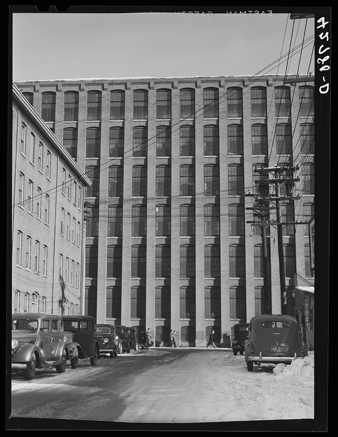
Delano, Jack, 1941. Library of Congress
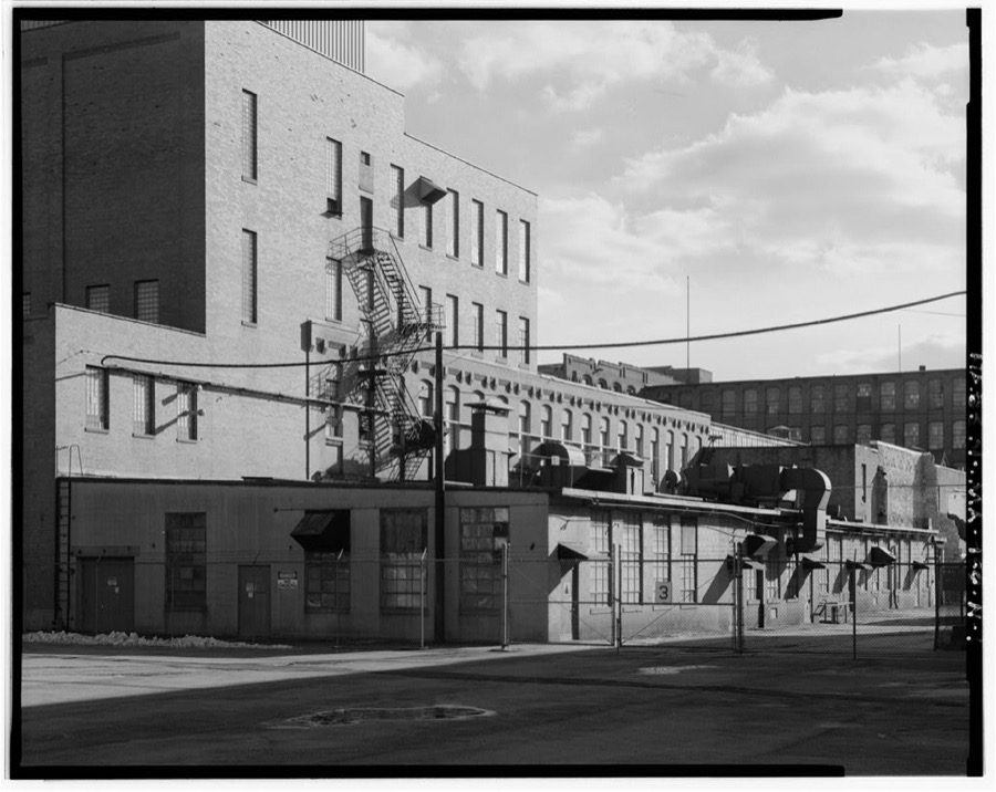
Unattributed, . Library of Congress
Fires nearby
83 since 2002The federal wildfire occurrence database lists 83 fires within 5 miles of Lawrence between 2002 and 2020, burning about 24 acres in total. 1 started naturally. 5 were recorded as arson. Distance is straight-line from the map coordinates, so a fire counted here may appear on a neighbouring settlement's page as well.
| Reported cause | Fires |
|---|---|
| Missing data/not specified/undetermined | 20 |
| Smoking | 19 |
| Debris and open burning | 9 |
| Misuse of fire by a minor | 8 |
| Recreation and ceremony | 7 |
| Equipment and vehicle use | 6 |
| Arson/incendiarism | 5 |
| Railroad operations and maintenance | 4 |
| Power generation/transmission/distribution | 4 |
| Natural | 1 |
The most recent of them, most recent first, with the day each was reported and the service that recorded it.
| Date | Cause | Size | Reported by | Name on the report |
|---|---|---|---|---|
| 24 September 2020 | Smoking | under an acre | Massachusetts Bureau of Forest Fire Control | not named |
| 21 September 2020 | Equipment and vehicle use | under an acre | Massachusetts Bureau of Forest Fire Control | not named |
| 14 September 2020 | Railroad operations and maintenance | under an acre | Massachusetts Bureau of Forest Fire Control | not named |
| 14 September 2016 | Smoking | under an acre | Massachusetts Bureau of Forest Fire Control | NORTH ANDOVER |
| 8 August 2016 | Smoking | under an acre | Massachusetts Bureau of Forest Fire Control | LAWERANCE |
| 8 August 2016 | Arson/incendiarism | under an acre | Massachusetts Bureau of Forest Fire Control | LAWERANCE |
| 8 August 2016 | Debris and open burning | under an acre | Massachusetts Bureau of Forest Fire Control | LAWERANCE |
| 5 August 2016 | Missing data/not specified/undetermined | under an acre | Massachusetts Bureau of Forest Fire Control | METHUEN |
Settlements close enough to share some of these fires:
Specimens collected nearby
12 of 1,242 shownMuseums hold 1,242 specimens collected within 10 miles of Lawrence between 1816 and 1975: 694 Plantae, 409 Animalia, 121 Fungi, 5 Protozoa, 5 Bacteria, 4 Unrecorded, 4 Chromista. 12 distinct Species records are shown. Collected by A Brown, A S Gaunt, A. C. Mathieson and others. Each is a physical object with a catalogue number, and each entry opens the museum's record. This is what was collected and kept, not a survey of what lives here - nothing can be concluded from a species being absent.
| Image | Species | Year | Collected by | Where, as recorded |
|---|---|---|---|---|
 | Lupinus L. | 1816 | Boott, F.M.B. | Mystic Pond, 6 miles from Boston. |
 | Viola labradorica Schrank | 1816 | not recorded | Andover Turnpike, 6 miles from Boston U.S.A. |
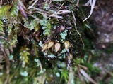 | Diphyscium foliosum (Hedw.) D.Mohr | 1822 | ALCOTT | |
 | Arcyria oerstedii Rostaf., 1875 | 1826 | F. A. Gilbert | |
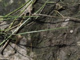 | Eleocharis robbinsii Oakes | 1829 | B. D. Greene | |
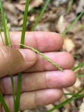 | Carex debilis var. rudgei L.H.Bailey | 1853 | Collector unknown | |
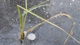 | Carex rostrata Stokes | 1853 | W. Boott | |
 | Cyathus striatus Willd. | 1853 | not recorded | Andover, Mass. [Massachusetts] |
 | Dichelyma capillaceum (Dicks.) Myrin | 1853 | T. P. James | |
 | Isopterygiopsis pulchella (Hedw.) Z.Iwats. | 1853 | T. P. James | |
 | Leskea polycarpa Hedw. | 1853 | T. P. James | |
| Vulpia octoflora var. glauca (Nutt.) Fernald | 1858 | J. Blake |
All 1,242 specimens within 10 miles, at the Global Biodiversity Information Facility.
Mines and quarries nearby
7 within 5 milesThe federal mineral resources record lists 7 workings within 5 miles of Lawrence: 4 past producers, 1 unknown, 1 producer, 1 plant. 2 still produce. What was taken out: Sand and Gravel, Construction, Nickel, Gold, Silver, Copper, Perlite. Distance is straight-line from the map coordinates, so a quarry counted here may appear on a neighbouring settlement's page as well.
| Where | Site | Commodity | Status | Recorded |
|---|---|---|---|---|
| Dracut Ni Mine/Nickel Mine Hill | Nickel, Gold, Silver, Copper | Past Producer | ||
| Wittemore Perlite Plant | Perlite | Plant | ||
| Rocco Zambino and Sons, Inc. Pit | Sand and Gravel, Construction | Producer | ||
| Sand & Gravel Operation | Sand and Gravel, Construction | Unknown | ||
| Sand and Gravel Pit | Sand and Gravel, Construction | Past Producer | ||
| Torromeo Trucking Co | Sand and Gravel, Construction | Past Producer | Sedimentary | |
| Torromeo Trucking Co., Inc. Pit | Sand and Gravel, Construction | Past Producer |
Storms nearby
26 since 1998The National Weather Service names Lawrence in 26 storm reports between 1998 and 2025: 7 flash flood, 7 thunderstorm wind, 7 flood, 3 hail. No death or injury is recorded in these reports. Each account below is quoted exactly as the forecast office filed it, from the NOAA Storm Events Database, and each date opens the federal record of that event.
| When | Event | Place named | Harm | What the report says |
|---|---|---|---|---|
| June 1998 | Flash Flood | Lawrence | $570,000 | Shawsheen River |
| July 2014 | Thunderstorm Wind | South Lawrence | $50,000 | In Lawrence, trees were downed on Winthrop Avenue, Essex Street, Everett Street, and Methuen Street. A tree fell onto a house on Furber Street and another on Melvin Street. In North Andover, a large tree was downed on Boston Road near Route 114 and on Main Street. Damage was a little more extensive in Andover, where many trees were downed on the south side of town including on Vine Street. Trees and wires were downed on Bridle Path Road. |
| July 2009 | Lightning | South Lawrence | $50,000 | Lightning struck a house on Fossen Way setting it on fire. |
| September 2014 | Thunderstorm Wind | Lawrence | $30,000 | Trees and wires on South Union, Kent, Baily, and Dorchester Streets were downed by thunderstorm winds. A tree on Dorchester Street was downed onto a car. |
| July 2009 | Thunderstorm Wind | South Lawrence | $25,000 | Many large trees on North Street were downed by thunderstorm winds. |
| August 2018 | Flood | Lawrence | $10,000 | At 1:55 PM EST, two cars were trapped in flooding at the intersection of Market Street and Parker Street in Lawrence. |
| September 2017 | Flood | South Lawrence | $10,000 | At 455 PM EST, an amateur radio operator reported Chickering Road at State Route 114 in South Lawrence was flooded. A car nearby on Halsey Street was trapped in flood waters. At 524 PM EST a car was disabled in street flooding at Cutler Avenue and Chickering Road. Grafton Street was flooded and impassable. |
| June 2023 | Lightning | Lawrence | $5,000 | In Lawrence at 511 PM EDT (411 PM EST), a house was struck by lightning, causing damage to the electrical system. |
| July 2018 | Flash Flood | Lawrence | $5,000 | At 2:48 PM EST, a car was trapped in flooding at the junction of Swan Street and Jackson Street in Methuen. |
| October 2011 | Flood | South Lawrence | $5,000 | Several streets were closed due to flooding. A car was stuck in floodwaters at the intersection of Andover Street and South Broadway near the Walgreens. |
| July 2020 | Flash Flood | Lawrence | $3,000 | In Methuen, Lowell Street was impassable due to flash flooding. Two cars were trapped there. Broadway near Granite Street was flooded and impassable. Also, Route 110 near Bates Street was flooded and impassable. Jackson Street was also flooded and impassable. |
| June 2020 | Thunderstorm Wind | Lawrence | $1,500 | In Methuen, multiple trees were down on Wintergreen Circle. |
| July 2021 | Thunderstorm Wind | South Lawrence | $800 | In Lawrence, a tree and power lines were down on Leonard Avenue. |
| August 2025 | Flash Flood | South Lawrence | - | There were cars stuck in significant street flooding near the Lawrence and Andover town line. |
| October 2022 | Flood | South Lawrence | - | In Lawrence, police reported street flooding on Andover Street between Clifron and Amherst Streets. The road was flooded and impassable. Report relayed by amateur radio. |
| July 2020 | Flash Flood | Lawrence | - | In Lawrence, Berkeley Street was flooded and impassable from Sheridan Street to Jackson Street to East Haverhill Street. In addition, Parker Street was closed at the Merrimack River bridge due to flooding. |
| November 2018 | Flood | South Lawrence | - | In Lawrence, there were flooded streets at Water Street and Marble Avenue. |
| September 2018 | Flash Flood | Lawrence | - | At 9:55 AM EST, Parker Street in Lawrence was closed from Market Street to Merrimack Street due to flooding at the railroad underpass. |
| September 2018 | Flash Flood | South Lawrence | - | At 9:43 AM EST, the intersection of Andover Street at Clifton Street in Lawrence was flooded and impassable. |
| September 2017 | Flood | Lawrence | - | At 1124 AM EST, an amateur radio operator reported a car trapped in flood waters behind Partham Elementary School in Lawrence. The Automated Surface Observation System platform at Lawrence Airport recorded a storm total rainfall of 2.62 inches. |
| September 2017 | Flood | Lawrence | - | At 1045 AM EST, Parker Street in Lawrence was reported flooded and impassable between Merrimack and Market Streets. At 11 AM EST, the intersection of Salem Street and South Union Street was reported flooded and impassable. The Community Cooperative Rain Hail and Snow observer in Andover reported a storm total rainfall of 2.18 inches. |
| July 2014 | Hail | Lawrence | - | Dime sized hail was reported in Lawrence. |
| July 2007 | Thunderstorm Wind | Lawrence | - | Trees down onto homes. |
| July 2009 | Hail | South Lawrence | - | no account filed |
| August 2001 | Thunderstorm Wind | Lawrence | - | no account filed |
| July 2001 | Hail | Lawrence | - | no account filed |
Nearest settlements
The eight closest, with where each one stands in the county. Distances are straight-line, computed from the Geographic Names Information System coordinates.
| Map | Place | Distance | Sheets |
|---|---|---|---|
| South Lawrence | 0.9 miles | 38 | |
| Mount Vernon Park | 1.4 miles | 38 | |
| North Andover | 1.6 miles | 38 | |
| Methuen | 2.0 miles | 38 | |
| Shawsheen Heights | 2.2 miles | 38 | |
| Marston Corners | 2.4 miles | 38 | |
| Shawsheen Village | 2.6 miles | 38 | |
| Stevens Crossing | 3.0 miles | 40 |
Elsewhere
Matched on this settlement's Geographic Names Information System number rather than its name, so it cannot be a different place of the same name in another state.
| Wikipedia article on Lawrence | An encyclopaedic summary. Its text is share-alike, so it is linked here rather than copied. |
| Wikidata item Q49163 | The structured record the population and elevation above come from. Public domain (CC0). |
Provenance
This settlement is recorded in the Geographic Names Information System as feature 612332. The sheet list is computed by point-in-boundary test against the United States Geological Survey's historical topographic inventory. Both are works of the United States government and carry no copyright under 17 U.S.C. 105.
Wildfire. Short, Karen C. 2022. Spatial wildfire occurrence data for the United States, 1992-2020 [FPA_FOD_20221014]. 6th Edition. Fort Collins, CO: Forest Service Research Data Archive. https://doi.org/10.2737/RDS-2013-0009.6 Collected with United States Government funding and usable without additional permissions or fees.
Specimens. Global Biodiversity Information Facility (GBIF), https://www.gbif.org/. Only records licensed CC0 or CC BY are used. Records licensed CC BY-NC are excluded because this site carries advertising. Images are checked individually and any whose licence is non-commercial, no-derivatives or unreadable is refused.
Mines and quarries. USGS Mineral Resources Data System (MRDS) https://mrdata.usgs.gov/mrds/ A work of the United States government, no copyright under 17 U.S.C. 105.
Storms. NOAA National Centers for Environmental Information, Storm Events Database https://www.ncei.noaa.gov/stormevents/ A work of the United States government, no copyright under 17 U.S.C. 105. Narratives are quoted verbatim from the National Weather Service report and are not edited or summarised.