 Block
Block
Lowell, Massachusetts
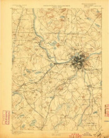
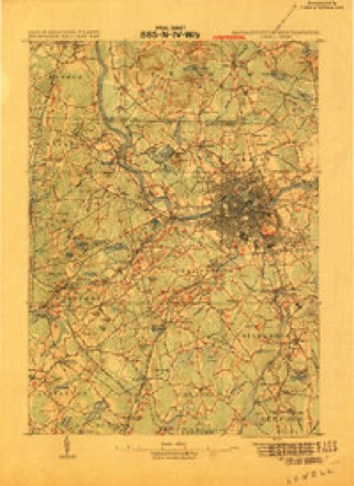
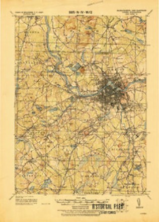
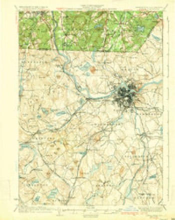
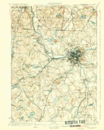
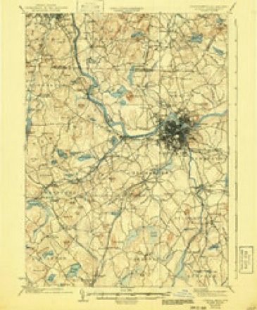
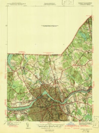
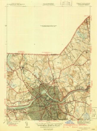
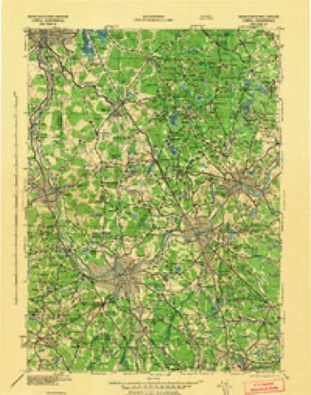
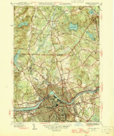
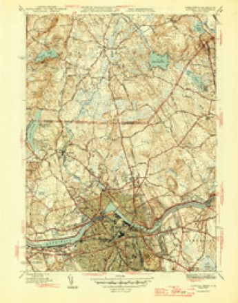
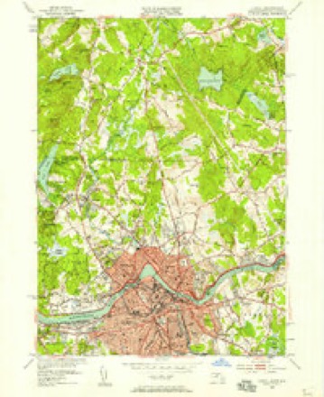
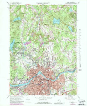
48 topographic sheets cover this place, the earliest surveyed in 1886 and the latest in 1988. It stands in Lowell City. It lies in ZIP code area 01851. It stands on River Meadow Brook. The Survey maps it on the Lowell quadrangle. 109,945 people lived here at the http count. It stands 102 feet above sea level.
Research this city
This curated hub for Middlesex County, Massachusetts brings together the page's documented record links, visible map or image evidence where published, and routes to related local records.
What is documented here?
Use the page's provenance and linked records to distinguish the source material from the site's navigation and summaries.
How should I cite it?
Open the original record, preserve its repository and identifier, then use the citation tool for this page as a path back to the source.
Where should I go next?
Follow the county or state hub for related places and records, then use the guide for a source-aware research sequence.
Population over time
4 figuresLowell grew from 106,519 to 113,994 between 2010 and 2021. These are the recorded population figures Wikidata holds for this place, reached through the Geographic Names Information System number this page is keyed on rather than by name, so they belong to this place and not to another of the same name. Most are census counts, but not all are: an early figure may be a founding or settlement estimate. The change column is computed, and is left blank where more than 20 years separate a figure from the one before it, because a gap that long is not a change between two counts.
| Year | People | Change |
|---|---|---|
| 2010 | 106,519 | |
| 2014 | 109,945 | +3,426 (+3%) |
| 2020 | 115,554 | +5,609 (+5%) |
| 2021 | 113,994 | -1,560 (-1%) |
Then and now
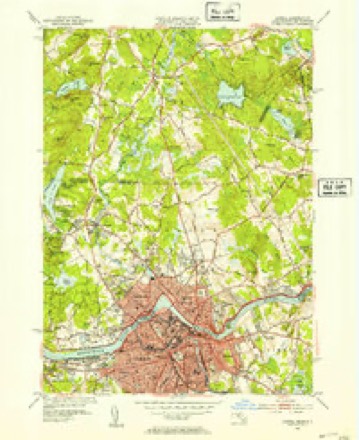
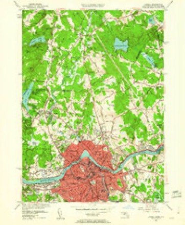
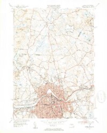
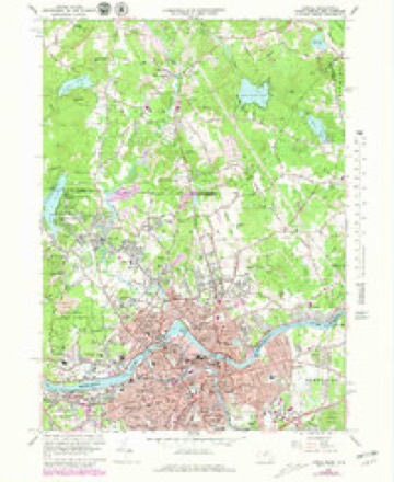
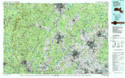
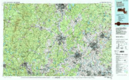
1886 to 1988The same ground, surveyed 102 years apart. Drag the handle to wipe between them. Both sheets are United States Geological Survey originals; neither has been altered.
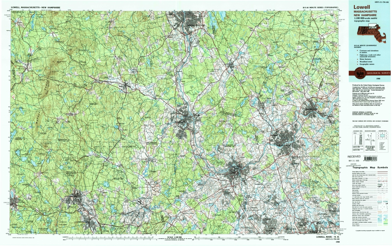
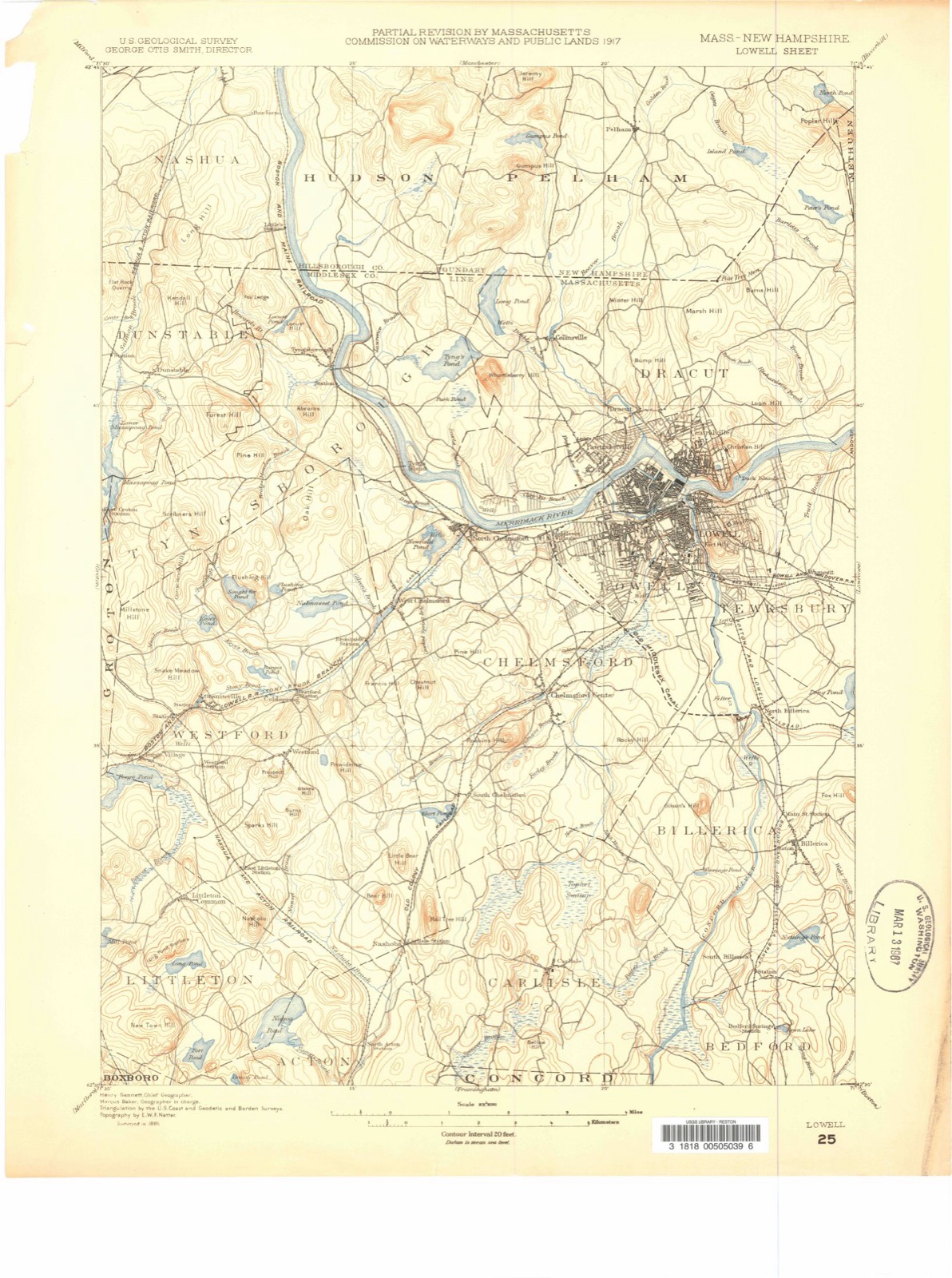
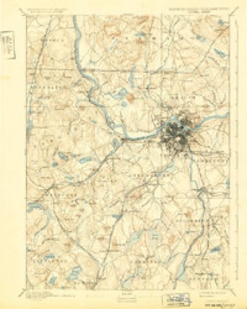
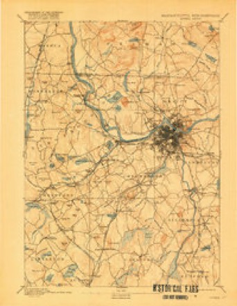
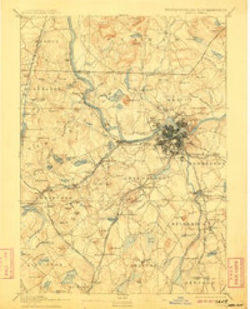
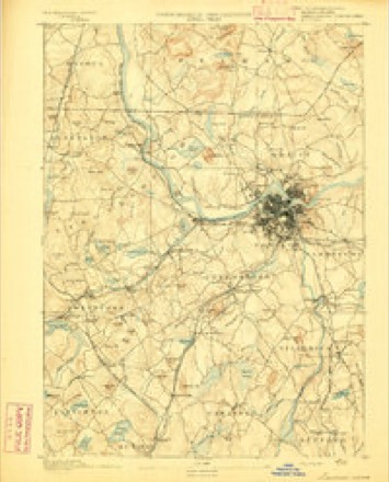
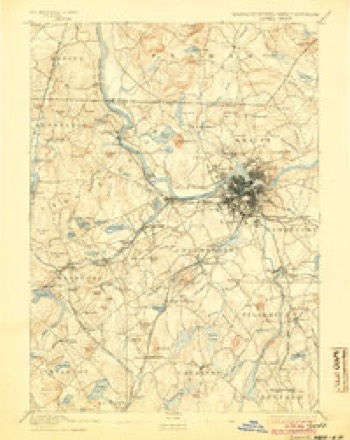
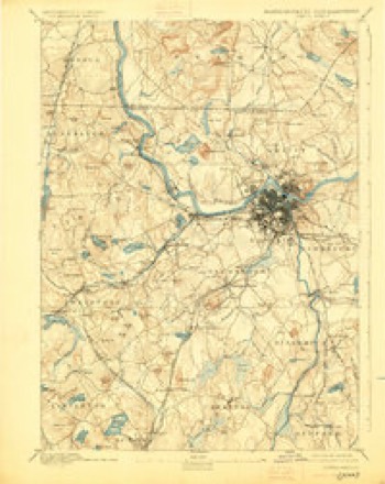
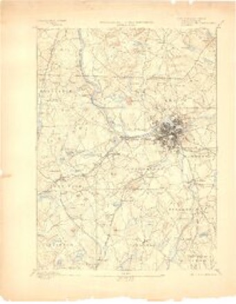
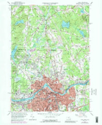
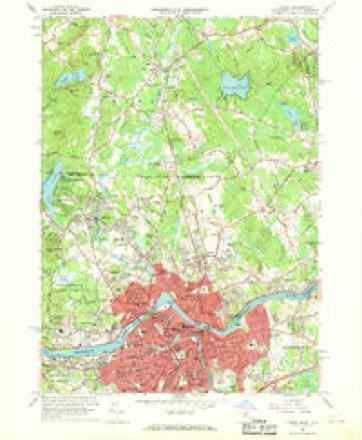
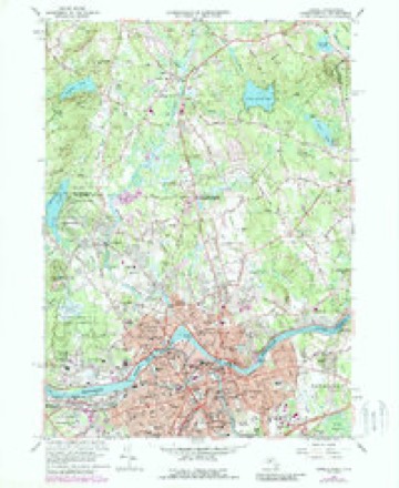
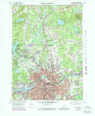
Topographic sheets covering this place
48 sheetsMatched by testing this settlement's coordinate against the published boundary of every sheet in the United States Geological Survey's historical collection. Each opens the scanned sheet at the Survey.
- 1886 USGS Lowell quadrangle1:62500
- 1893 USGS Lowell quadrangle1:62500
- 1893 USGS Lowell quadrangle1:62500
- 1893 USGS Lowell quadrangle1:62500
- 1893 USGS Lowell quadrangle1:62500
- 1893 USGS Lowell quadrangle1:62500
- 1893 USGS Lowell quadrangle1:62500
- 1893 USGS Lowell quadrangle1:62500
- 1893 USGS Lowell quadrangle1:62500
- 1893 USGS Lowell quadrangle1:62500
- 1918 USGS Lowell quadrangle1:62500
- 1921 USGS Lowell quadrangle1:62500
- 1931 USGS Lowell quadrangle1:48000
- 1935 USGS Lowell quadrangle1:62500
- 1935 USGS Lowell quadrangle1:62500
- 1935 USGS Lowell quadrangle1:62500
- 1941 USGS Lowell quadrangle1:31680
- 1941 USGS Lowell quadrangle1:31680
- 1943 USGS Lowell quadrangle1:125000
- 1946 USGS Lowell quadrangle1:31680
- 1946 USGS Lowell quadrangle1:31680
- 1948 USGS Boston quadrangle1:250000
- 1948 USGS Boston quadrangle1:250000
- 1950 USGS Lowell quadrangle1:24000
- 1950 USGS Lowell quadrangle1:31680
- 1950 USGS Lowell quadrangle1:24000
- 1950 USGS Lowell quadrangle1:31680
- 1956 USGS Boston quadrangle1:250000
- 1956 USGS Boston quadrangle1:250000
- 1956 USGS Boston quadrangle1:250000
- 1956 USGS Boston quadrangle1:250000
- 1956 USGS Boston quadrangle1:250000
- 1956 USGS Boston quadrangle1:250000
- 1958 USGS Boston quadrangle1:250000
- 1958 USGS Boston quadrangle1:250000
- 1961 USGS Boston quadrangle1:250000
- 1961 USGS Boston quadrangle1:250000
- 1966 USGS Lowell quadrangle1:24000
- 1966 USGS Lowell quadrangle1:24000
- 1966 USGS Lowell quadrangle1:24000
- 1966 USGS Lowell quadrangle1:24000
- 1966 USGS Lowell quadrangle1:25000
- 1969 USGS Lowell quadrangle1:24000
- 1984 USGS Lowell quadrangle1:100000
- 1987 USGS Lowell quadrangle1:25000
- 1987 USGS Lowell quadrangle1:25000
- 1988 USGS Lowell quadrangle1:100000
- 1988 USGS Lowell quadrangle1:100000












In the county-history sources
160,056 words on this townshipHistory of Middlesex County, Massachusetts : Containing Carefully Prepared Histories of Every City and Town in the County, published 1880 names this settlement in its chapter on Lowell City. These are the passages that mention it, exactly as the scans read.
It appears that immediately after ilr. Lowell's return he had at once gone to work to construct a loom ; but he found its construction no easy task. Without patterns, or even drawings, so far as we know, each part had to be planned and tried, altered and rearranged, until tlie whole assumed the shape of a machine. We are told that " many little matters were to be overcome or adjusted before it would work perfectly." Mr. Appleton says : " Mr. Lowell said to me that he did not wish me to see it until it was complete, of whicli he would give me notice. At length the time arrived. He invited me to go out with him and see the loom operate. I well recollect the state of admiration and satisfaction with which we sat by the hour watching the beautiful movement of this new and wonderful machine, destined, as it evidently was, to change the character of all textile industry. This was in the autumn of 1814."
Passage source: History of Middlesex County, Massachusetts : Containing Carefully Prepared Histories of Every City and Town in the County, published 1880.
The great obstacle to tlie use of the power-loom, at that time, proved to be dressing the yarn ; it required a man at each loom to dress the warp as it unrolled from the beam. This rendered it necessary to stop the loom while the man was doing it. This difficulty was removed by the invention of an ingenious mode of dressing the warp before it was placed in the loom. Mr. Lowell procured from England a drawing of Horrocks' dressing-frame, and Mr. Moody, whose services he had secured, made an improvement which more than doubled its efficiency, - a very ingenious machine called a warper, that wound the threads from the bobbins on the beam. After this there was no farther difficulty in running a power-loom.
Passage source: History of Middlesex County, Massachusetts : Containing Carefully Prepared Histories of Every City and Town in the County, published 1880.
Samuel Batchelder, in his work on cotton manufacture, relates the following anecdote: "ilr. Moody also stated to me another incident respecting the construction and completion of the dressingframe. At first they had used wooden rollers where the threads of the warp were submitted to the action of the size ; but being constantly wet, the wood swelled and warj^ed, so that the rolls would not fit accurately. They then tried covering the rollers -nith metal, by casting a coat of pewter on the outside ; but after various methods of casting, sometimes in sand, and sometimes in a mould made of iron, they were still found to be imperfect. He at length thought of making a mould of soapstone in which to cast them. Meeting his brother
Passage source: History of Middlesex County, Massachusetts : Containing Carefully Prepared Histories of Every City and Town in the County, published 1880.
Machine-read from a century-old scan, so expect the errors a machine makes: misspelled names, dropped words, stray characters.
Read the whole chapter on Lowell City - it names this place 235 more 235 times.
Photographs
8 photographs, 1941Taken for the Office of War Information and the Farm Security Administration, who photographed the country between 1935 and 1944. Works of United States government photographers, with no known restriction on use. Each opens its catalogue record.
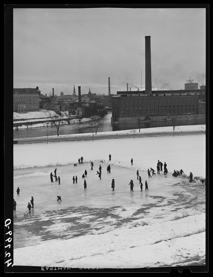
Delano, Jack, 1941. Library of Congress
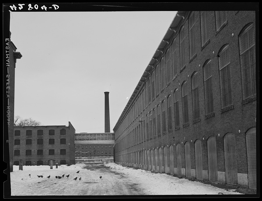
Delano, Jack, 1941. Library of Congress
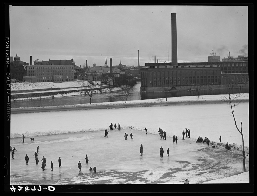
Delano, Jack, 1941. Library of Congress
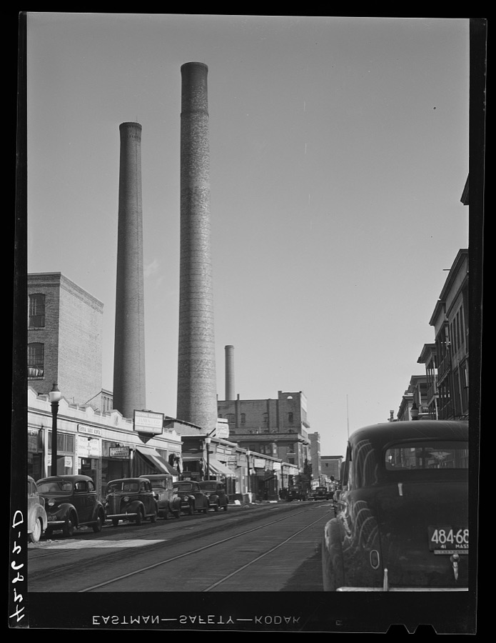
Delano, Jack, 1941. Library of Congress
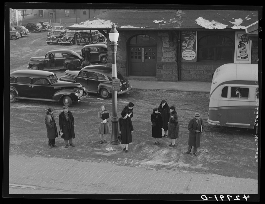
Delano, Jack, 1941. Library of Congress
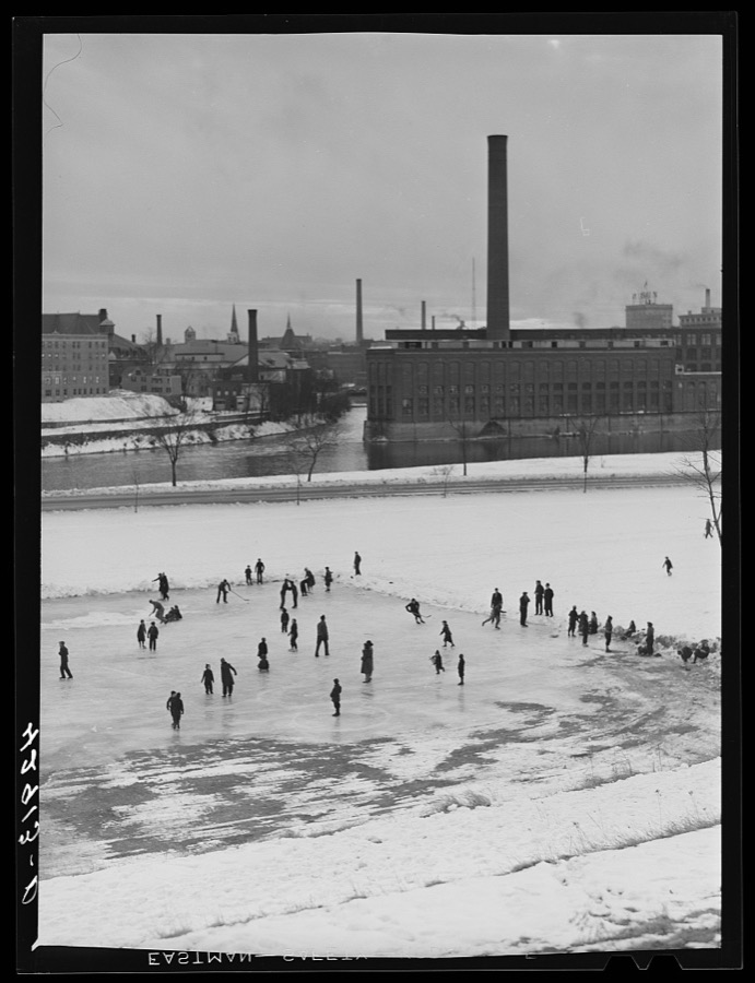
Delano, Jack, 1941. Library of Congress
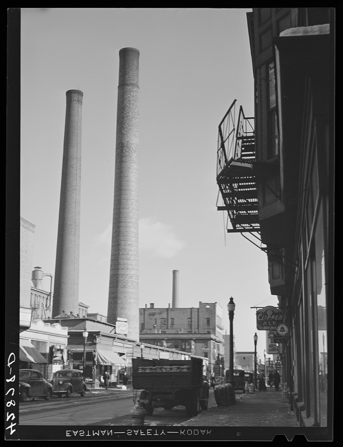
Delano, Jack, 1941. Library of Congress
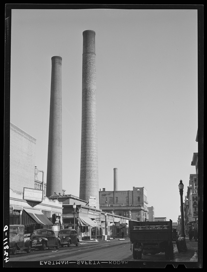
Delano, Jack, 1941. Library of Congress
Fires near this place
134 since 2001Regional context, not property-specific evidence. The federal wildfire occurrence database lists 134 fires within 5 miles of Lowell between 2001 and 2020, burning about 72 acres in total. 3 started naturally. 30 were recorded as arson. Distance is straight-line from the map coordinates, so a fire counted here may appear on a neighbouring settlement's page as well.
| Reported cause | Fires |
|---|---|
| Missing data/not specified/undetermined | 37 |
| Debris and open burning | 30 |
| Arson/incendiarism | 30 |
| Recreation and ceremony | 19 |
| Equipment and vehicle use | 4 |
| Smoking | 4 |
| Power generation/transmission/distribution | 3 |
| Natural | 3 |
| Railroad operations and maintenance | 2 |
| Misuse of fire by a minor | 1 |
| Other causes | 1 |
The most recent of them, most recent first, with the day each was reported and the service that recorded it.
| Date | Cause | Size | Reported by | Name on the report |
|---|---|---|---|---|
| 6 September 2002 | Smoking | under an acre | Massachussetts State Fire Marshal's Office | not named |
| 26 September 2015 | Recreation and ceremony | under an acre | Massachusetts Bureau of Forest Fire Control | not named |
| 22 September 2002 | Arson/incendiarism | under an acre | Massachussetts State Fire Marshal's Office | not named |
| 13 September 2018 | Missing data/not specified/undetermined | under an acre | New Hampshire Division of Forest and Lands | not named |
| 9 August 2002 | Missing data/not specified/undetermined | under an acre | Massachussetts State Fire Marshal's Office | not named |
| 5 August 2002 | Arson/incendiarism | under an acre | Massachussetts State Fire Marshal's Office | not named |
| 4 August 2002 | Arson/incendiarism | 1.0 acres | Massachussetts State Fire Marshal's Office | not named |
| 18 August 2002 | Debris and open burning | 1.0 acres | Massachussetts State Fire Marshal's Office | not named |
Settlements close enough to share some of these fires:
Specimens collected near this place
12 of 568 shownRegional context, not property-specific evidence. Museums hold 568 specimens collected within 10 miles of Lowell between 1898 and 1975: 371 Plantae, 130 Animalia, 34 Fungi, 29 Protozoa, 3 Chromista, 1 Unrecorded. 12 distinct Species records are shown. Collected by A. C. Mathieson, A. F. Newton, A. F. Newton, M. K. Thayer and others. Each is a physical object with a catalogue number, and each entry opens the museum's record. This is what was collected and kept, not a survey of what lives here - nothing can be concluded from a species being absent.
| Image | Species | Year | Collected by | Where, as recorded |
|---|---|---|---|---|
 | Exosporium pusillum P.Karst. | 1898 | King C. A. | Stony Brook |
 | Antennaria howellii subsp. neodioica (Greene) R.J.Bayer | 1899 | Williams, E.F. | |
 | Antennaria neglecta Greene | 1899 | not recorded | |
 | Aristida dichotoma Michx. | 1899 | E. F. Williams | |
| Arthrosporium compositum Ellis | 1899 | Rorer | East Billerica | |
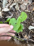 | Asarum canadense L. | 1899 | E. F. Williams | |
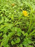 | Bidens cernua L. | 1899 | E. F. Williams | |
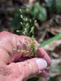 | Dichanthelium oligosanthes subsp. scribnerianum (Nash) Freckmann & Lelong | 1899 | E. F. Williams | |
 | Elatine americana (Pursh) Arn. | 1899 | not recorded | |
| Araiospora pulchra Thaxt. | 1900 | Thaxter, R. | Stony Brook | |
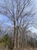 | Betula nigra L. | 1900 | not recorded | |
 | Boletus frostii J.L.Russell | 1900 | A. W. Flint |
All 568 specimens within 10 miles, at the Global Biodiversity Information Facility.
Mines and quarries near this place
10 of 22 shownRegional context, not property-specific evidence. The federal mineral resources record lists 22 workings within 5 miles of Lowell: 11 past producers, 7 producers, 4 plants. 11 still produce. What was taken out: Sand and Gravel, Construction, Stone, Crushed/Broken, Granite, Graphite. Distance is straight-line from the map coordinates, so a quarry counted here may appear on a neighbouring settlement's page as well.
| Where | Site | Commodity | Status | Recorded |
|---|---|---|---|---|
| Dracut Deposit | Cobalt, Nickel | Past Producer | 1876, 1939 | |
| Dracut Ni Mine/Nickel Mine Hill | Nickel, Gold, Silver, Copper | Past Producer | ||
| Avaco Corp--Lowell, Ma. | Graphite | Plant | ||
| Fletcher Westford Quarry | Granite | Producer | ||
| H E Fletcher Co | Granite | Past Producer | Granite | |
| Stackpole Fibers Co--Lowell, Ma. | Graphite | Plant | ||
| Brox Quarry | Stone, Crushed/Broken | Producer | ||
| Chelmsford Mill | Stone, Crushed/Broken | Plant | ||
| Dracut Plant | Stone, Crushed/Broken | Producer | ||
| Essex Bituminous Concrete Products | Stone, Crushed/Broken | Past Producer |
Storms near this place
16 since 1995Regional context, not property-specific evidence. The National Weather Service names Lowell in 16 storm reports between 1995 and 2023: 6 thunderstorm wind, 4 flood, 3 lightning, 2 hail. The reports record 2 injuries. Each account below is quoted exactly as the forecast office filed it, from the NOAA Storm Events Database, and each date opens the federal record of that event.
| When | Event | Place named | Harm | What the report says |
|---|---|---|---|---|
| September 1995 | Thunderstorm Wind | Lowell | 2 hurt | no account filed |
| June 2002 | Lightning | Lowell | $25,000 | no account filed |
| May 2006 | Thunderstorm Wind | Lowell | $20,000 | no account filed |
| May 2004 | Lightning | Lowell | $15,000 | no account filed |
| May 2017 | Thunderstorm Wind | Lowell | $1,000 | At 942 PM EST, a tree was reported down on Pleasant Street in Lowell. |
| May 2017 | Thunderstorm Wind | South Lowell | $1,000 | At 943 PM EST, a tree was reported down on Pike Street in Tewksbury. |
| September 2023 | Thunderstorm Wind | Lowell | $500 | In Lowell, wires were down on Lowell St. |
| June 2023 | Flood | Lowell | $500 | Flooding caused a small mudslide on Route 110, blocking the road. |
| June 2008 | Lightning | Lowell | $500 | Lightning struck a home on Marlborough Street, resulting in a power surge that blew several light switches off the wall. |
| July 2023 | Flash Flood | Lowell | - | In Lowell, Douglas Rd was flooded to 3 feet. |
| August 2023 | Flood | South Lowell | - | In Tewksbury, Chapman Rd was flooded at Jefferson Rd. |
| September 2020 | Flood | Lowell | - | In Lowell, a section of Raven Road had two feet of street flooding, with the road blocked. |
| July 2013 | Flood | Lowell | - | Moore Street in Lowell was closed due to flooding. |
| August 2004 | Hail | Lowell | - | no account filed |
| May 1998 | Hail | Lowell | - | no account filed |
| May 1998 | Thunderstorm Wind | Lowell | - | no account filed |
Nearest settlements
The eight closest, with where each one stands in the county. Distances are straight-line, computed from the Geographic Names Information System coordinates.
| Map | Place | Distance | Sheets |
|---|---|---|---|
| Ayres City | 0.6 miles | 48 | |
| Bleachery | 0.8 miles | 48 | |
| Highlands | 1.1 miles | 48 | |
| Belvidere | 1.5 miles | 48 | |
| Oaklands | 1.6 miles | 48 | |
| Middlesex Village | 1.6 miles | 48 | |
| Centralville | 1.6 miles | 48 | |
| Westlands | 1.8 miles | 41 |
Elsewhere
Matched on this settlement's Geographic Names Information System number rather than its name, so it cannot be a different place of the same name in another state.
| Wikipedia article on Lowell | An encyclopaedic summary. Its text is share-alike, so it is linked here rather than copied. |
| Wikidata item Q49162 | The structured record the population and elevation above come from. Public domain (CC0). |
Provenance
This settlement is recorded in the Geographic Names Information System as feature 611832. The sheet list is computed by point-in-boundary test against the United States Geological Survey's historical topographic inventory. Both are works of the United States government and carry no copyright under 17 U.S.C. 105.
Wildfire. Short, Karen C. 2022. Spatial wildfire occurrence data for the United States, 1992-2020 [FPA_FOD_20221014]. 6th Edition. Fort Collins, CO: Forest Service Research Data Archive. https://doi.org/10.2737/RDS-2013-0009.6 Collected with United States Government funding and usable without additional permissions or fees.
Specimens. Global Biodiversity Information Facility (GBIF), https://www.gbif.org/. Only records licensed CC0 or CC BY are used. Records licensed CC BY-NC are excluded because this site carries advertising. Images are checked individually and any whose licence is non-commercial, no-derivatives or unreadable is refused.
Mines and quarries. USGS Mineral Resources Data System (MRDS) https://mrdata.usgs.gov/mrds/ A work of the United States government, no copyright under 17 U.S.C. 105.
Storms. NOAA National Centers for Environmental Information, Storm Events Database https://www.ncei.noaa.gov/stormevents/ A work of the United States government, no copyright under 17 U.S.C. 105. Narratives are quoted verbatim from the National Weather Service report and are not edited or summarised.