 Block
Block
Peninsula, Ohio
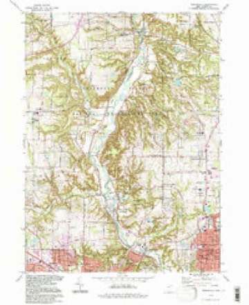
21 topographic sheets cover this place, the earliest surveyed in 1903 and the latest in 1994. It stands in Boston Township. It lies in ZIP code area 44264. It stands on Slipper Run. The Survey maps it on the Peninsula quadrangle. 536 people lived here at the 2020 count. It stands 755 feet above sea level.
Population over time
2 figuresPeninsula fell from 565 to 536 between 2010 and 2020. These are the recorded population figures Wikidata holds for this place, reached through the Geographic Names Information System number this page is keyed on rather than by name, so they belong to this place and not to another of the same name. Most are census counts, but not all are: an early figure may be a founding or settlement estimate. The change column is computed, and is left blank where more than 20 years separate a figure from the one before it, because a gap that long is not a change between two counts.
| Year | People | Change |
|---|---|---|
| 2010 | 565 | |
| 2020 | 536 | -29 (-5%) |
Then and now
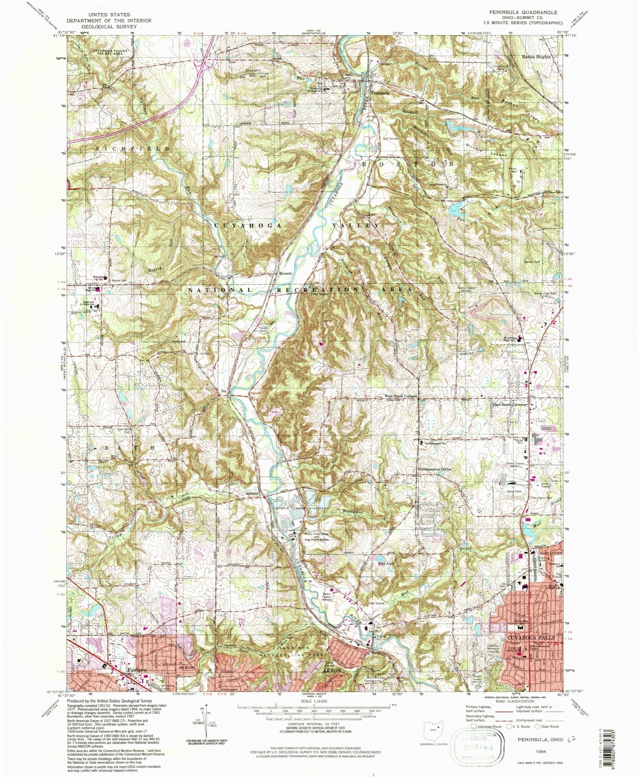
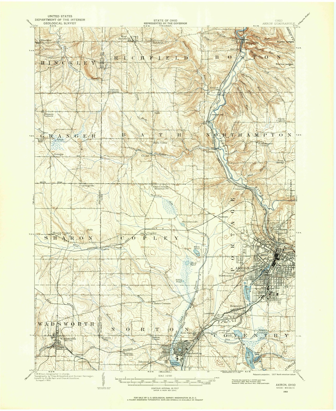
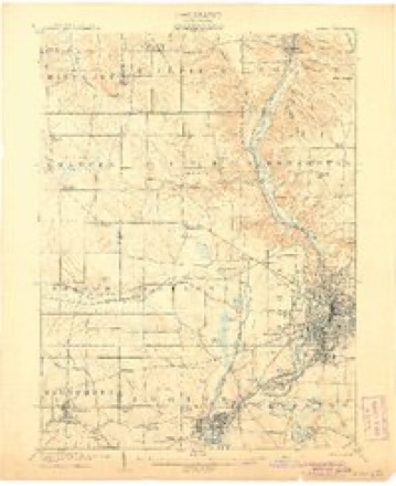
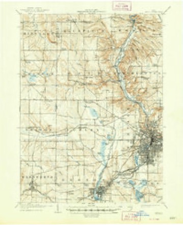
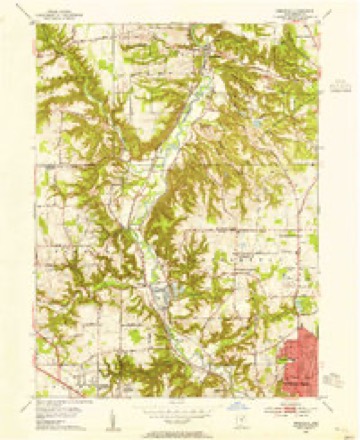
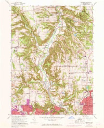
1903 to 1994The same ground, surveyed 91 years apart. Drag the handle to wipe between them. Both sheets are United States Geological Survey originals; neither has been altered.
Compare 1903 against another survey:
Topographic sheets covering this place
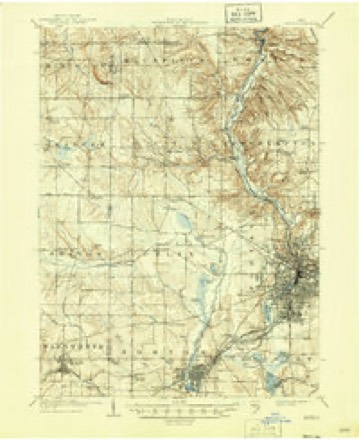
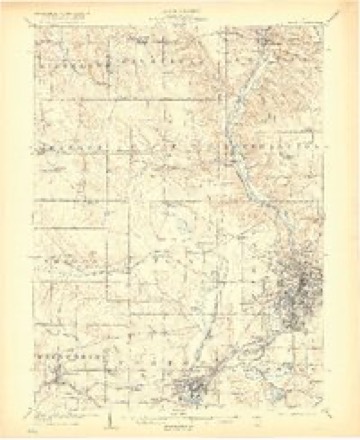
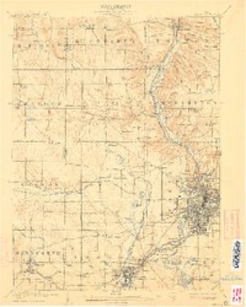
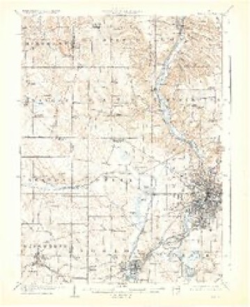
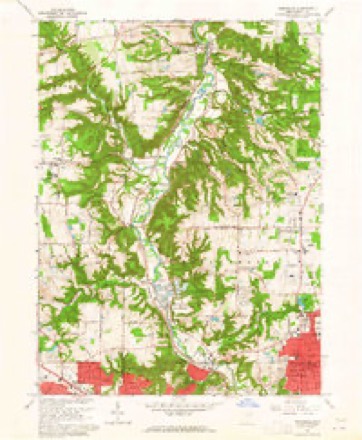
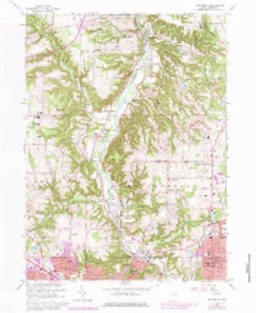
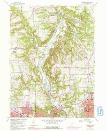
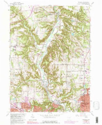
21 sheetsMatched by testing this settlement's coordinate against the published boundary of every sheet in the United States Geological Survey's historical collection. Each opens the scanned sheet at the Survey.
- 1903 USGS Akron quadrangle1:62500
- 1905 USGS Akron quadrangle1:62500
- 1905 USGS Akron quadrangle1:62500
- 1905 USGS Akron quadrangle1:62500
- 1905 USGS Akron quadrangle1:62500
- 1905 USGS Akron quadrangle1:62500
- 1905 USGS Akron quadrangle1:62500
- 1905 USGS Akron quadrangle1:62500
- 1953 USGS Peninsula quadrangle1:24000
- 1956 USGS Cleveland quadrangle1:250000
- 1956 USGS Cleveland quadrangle1:250000
- 1956 USGS Cleveland quadrangle1:250000
- 1962 USGS Cleveland quadrangle1:250000
- 1963 USGS Peninsula quadrangle1:24000
- 1963 USGS Peninsula quadrangle1:24000
- 1963 USGS Peninsula quadrangle1:24000
- 1963 USGS Peninsula quadrangle1:24000
- 1963 USGS Peninsula quadrangle1:24000
- 1986 USGS Cleveland South quadrangle1:100000
- 1994 USGS Cleveland South quadrangle1:100000
- 1994 USGS Peninsula quadrangle1:24000






In the county-history sources
299 words on this townshipCentennial History of Summit County, Ohio and Representative Citizens, published 1908 names this settlement in its chapter on Boston Township. These are the passages that mention it, exactly as the scans read.
its firet officers were Timothy Bishop, Andrew Johnson and Aai'on Miller, trustees; William Beers, clerk; Launcelot May, treasurer; Alfred Wolcott and Moses Cunningham, justices of the peace, and James Jordan, constable. More than 140 men of Boston township fought for the Union in the war of 1861-65, the most distinguished of whom was Colonel Arthur L. Conger. On July 4, 1889, Colonel and Mrs. Conger presented to Boston Town- .ship the fine soldiers' monument which stands in the village of Peninsula at its western border. Peninsula has an extensive flour-mill and, in the southern part of the village, a large stone-quaiTy of a fine-gi'ained, white .sand-stone, from which mill-stones are made. Boston has saw-mills and the great papermills of the Akron-Cleveland Paper Bag Company, the power for which is partly secured from a large dam thrown across the Cuyahoga River. Colonel A. L. Conger aaid Hon. S. P. Wolcott are the Boston citizens who have earned for themselves the greatest fame. At the present time Charles Peterson is clerk and E. B. Conger and N. B. Wise are justices of the peace.
Passage source: Centennial History of Summit County, Ohio and Representative Citizens, published 1908.
Machine-read from a century-old scan, so expect the errors a machine makes: misspelled names, dropped words, stray characters.
Read the whole chapter on Boston Township - it names this place 1 more 1 time.
Photographs
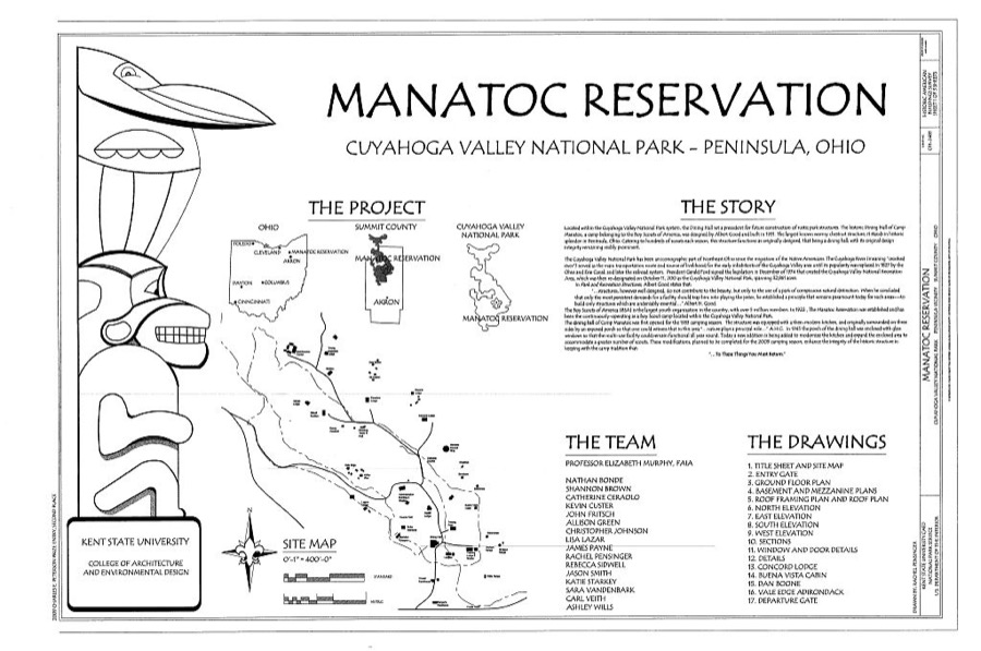
1 photograph,Taken for the Office of War Information and the Farm Security Administration, who photographed the country between 1935 and 1944. Works of United States government photographers, with no known restriction on use. Each opens its catalogue record.
Unattributed, . Library of Congress
Fires near this place
16 since 1993Regional context, not property-specific evidence. The federal wildfire occurrence database lists 16 fires within 5 miles of Peninsula between 1993 and 2012, burning about 7 acres in total. 3 started naturally. 2 were recorded as arson. Distance is straight-line from the map coordinates, so a fire counted here may appear on a neighbouring settlement's page as well.
| Reported cause | Fires |
|---|---|
| Natural | 3 |
| Debris and open burning | 3 |
| Recreation and ceremony | 2 |
| Arson/incendiarism | 2 |
| Missing data/not specified/undetermined | 2 |
| Railroad operations and maintenance | 1 |
| Smoking | 1 |
| Equipment and vehicle use | 1 |
| Power generation/transmission/distribution | 1 |
The most recent of them, most recent first, with the day each was reported and the service that recorded it.
| Date | Cause | Size | Reported by | Name on the report |
|---|---|---|---|---|
| 8 August 2012 | Natural | under an acre | Cuyahoga Valley National Park | RIVERVIEW ROAD |
| 31 August 1993 | Smoking | under an acre | Cuyahoga Valley National Park | AKRONS |
| 30 August 1993 | Railroad operations and maintenance | under an acre | Cuyahoga Valley National Park | RAILROAD |
| 13 July 2012 | Recreation and ceremony | under an acre | Cuyahoga Valley National Park | BRUNTY |
| 22 June 1997 | Equipment and vehicle use | under an acre | Cuyahoga Valley National Park | ERDOS |
| 16 June 1995 | Arson/incendiarism | under an acre | Cuyahoga Valley National Park | QUICK |
| 15 June 2001 | Arson/incendiarism | under an acre | Cuyahoga Valley National Park | KEEBLER |
| 22 May 1994 | Recreation and ceremony | under an acre | Cuyahoga Valley National Park | LEDGES |
Settlements close enough to share some of these fires:
Specimens collected near this place
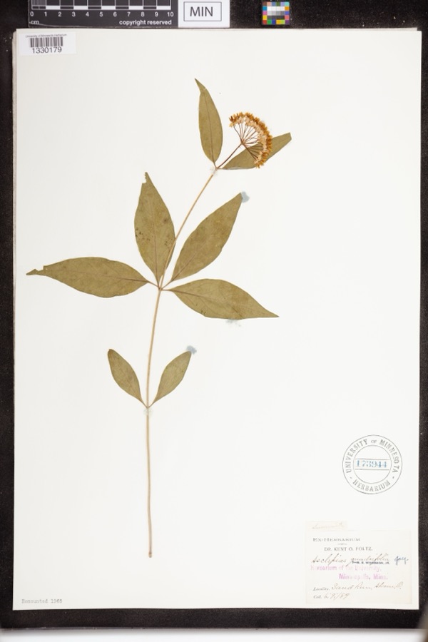
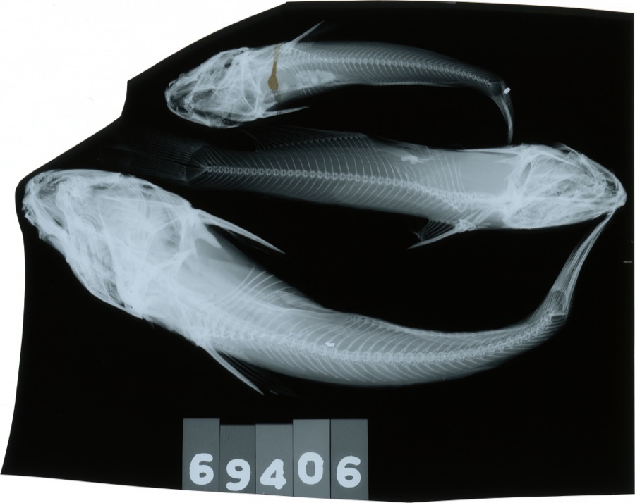
12 of 936 shownRegional context, not property-specific evidence. Museums hold 936 specimens collected within 10 miles of Peninsula between 1877 and 1973: 880 Animalia, 43 Plantae, 13 Fungi. 12 distinct Species records are shown. Collected by A. Black, A. Hall, A. Woolman and others. Each is a physical object with a catalogue number, and each entry opens the museum's record. This is what was collected and kept, not a survey of what lives here - nothing can be concluded from a species being absent.
| Image | Species | Year | Collected by | Where, as recorded |
|---|---|---|---|---|
 | Asclepias quadrifolia Jacq. | 1889 | Foltz, Kent O. | Sand Run Park; Akron |
 | Ameiurus melas (Rafinesque, 1820) | 1893 | C. Rutter | Cuyahoga River, Penisula, Ohio |
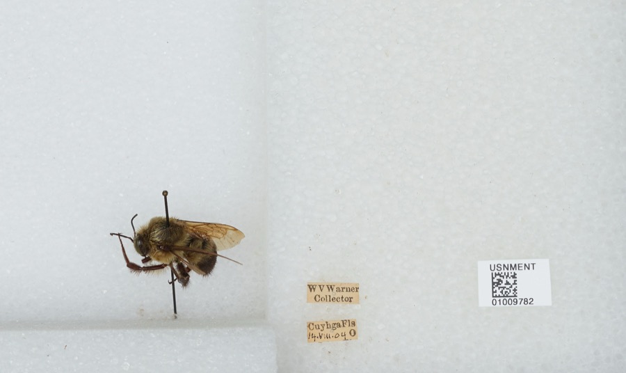 | Bombus griseocollis (De Geer, 1773) | 1904 | W. Warner | Cuyahoga Falls |
 | Empidonax flaviventris (W.M.Baird & S.F.Baird, 1843) | 1877 | A. Hall | Cuyahoga |
 | Buteo lineatus lineatus (Gmelin, 1788) | 1887 | B. Sanford | Hudson |
 | Gymnosporangium juniperi-virginianae Schwein. | 1889 | Reade M. C. | Hudson |
 | Carex communis L.H.Bailey | 1892 | Werner, W.C. | Cuyahoga Falls |
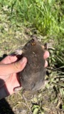 | Condylura cristata (Linnaeus, 1758) | 1892 | Clark, D. | Cuyahoga Falls Ave., Akron, Summit Co., Ohio |
 | Scolopax minor J.F.Gmelin, 1789 | 1892 | Beryl Hodge | Hudson |
 | Bombycilla cedrorum Vieillot, 1808 | 1893 | Hine, J. S. (James Stewart) | Summit, Ohio, USA |
 | Catostomus commersonii (Lacepède, 1803) | 1893 | not recorded | Peninsula, Ohio |
 | Chrysemys picta (Schneider, 1783) | 1893 | not recorded | Silver Lake |
All 936 specimens within 10 miles, at the Global Biodiversity Information Facility.
Storms near this place
10 since 1995Regional context, not property-specific evidence. The National Weather Service names Peninsula in 10 storm reports between 1995 and 2024: 7 thunderstorm wind, 1 hail, 1 lightning, 1 flash flood. The reports record 9 injuries. Each account below is quoted exactly as the forecast office filed it, from the NOAA Storm Events Database, and each date opens the federal record of that event.
| When | Event | Place named | Harm | What the report says |
|---|---|---|---|---|
| June 2004 | Lightning | Peninsula | 9 hurt | Nine boys ages 11 to 14 were injured when lightning struck a tree near their campsite. All of the injuries were minor. The boys were staying at a campground in Boston Township. |
| May 2020 | Flash Flood | Peninsula | $15,000 | A thunderstorm with torrential rain produced 2.25 of rain, most of which fell within 30 minutes between 606 PM and 636 PM. Flooding commenced shortly thereafter around 640 PM. Storm drains were overwhelmed with water over a foot deep filling in streets. Roads flooded include Morris Drive, Woodland Drive, I-271 underpass, with minor damage to Riverview Road. |
| July 2008 | Thunderstorm Wind | Peninsula | $5,000 | Thunderstorm winds downed three trees. |
| July 2006 | Thunderstorm Wind | Peninsula | $4,000 | A few trees were reported down in Peninsula and Munroe Falls. |
| July 2006 | Thunderstorm Wind | Peninsula | $4,000 | A few trees were reported down. |
| June 2010 | Thunderstorm Wind | Peninsula | $2,000 | Thunderstorm winds downed a large tree on Truxell Road. |
| July 1995 | Thunderstorm Wind | Peninsula | $2,000 | Trees were downed. |
| August 2024 | Thunderstorm Wind | Peninsula | - | Trees snapped about one-mile NNW of Peninsula. |
| May 2024 | Thunderstorm Wind | Peninsula | - | Trees downed along West Streetsboro Road, between Stine Road and Ridgeway Street. |
| May 2003 | Hail | Peninsula | - | Penny size hail was observed. |
Nearest settlements
The eight closest, with where each one stands in the county. Distances are straight-line, computed from the Geographic Names Information System coordinates.
| Map | Place | Distance | Sheets |
|---|---|---|---|
| Boston | 1.6 miles | 15 | |
| Brandywine | 2.5 miles | 15 | |
| Boston Heights | 2.7 miles | 15 | |
| Everett | 2.7 miles | 21 | |
| Chittendens Corners | 3.2 miles | 14 | |
| Little York | 4.0 miles | 15 | |
| West Steels Corners | 4.2 miles | 21 | |
| East Center | 4.4 miles | 16 |
Elsewhere
Matched on this settlement's Geographic Names Information System number rather than its name, so it cannot be a different place of the same name in another state.
| Wikipedia article on Peninsula | An encyclopaedic summary. Its text is share-alike, so it is linked here rather than copied. |
| Wikidata item Q2672552 | The structured record the population and elevation above come from. Public domain (CC0). |
Provenance
This settlement is recorded in the Geographic Names Information System as feature 1049072. The sheet list is computed by point-in-boundary test against the United States Geological Survey's historical topographic inventory. Both are works of the United States government and carry no copyright under 17 U.S.C. 105.
Wildfire. Short, Karen C. 2022. Spatial wildfire occurrence data for the United States, 1992-2020 [FPA_FOD_20221014]. 6th Edition. Fort Collins, CO: Forest Service Research Data Archive. https://doi.org/10.2737/RDS-2013-0009.6 Collected with United States Government funding and usable without additional permissions or fees.
Specimens. Global Biodiversity Information Facility (GBIF), https://www.gbif.org/. Only records licensed CC0 or CC BY are used. Records licensed CC BY-NC are excluded because this site carries advertising. Images are checked individually and any whose licence is non-commercial, no-derivatives or unreadable is refused.
Storms. NOAA National Centers for Environmental Information, Storm Events Database https://www.ncei.noaa.gov/stormevents/ A work of the United States government, no copyright under 17 U.S.C. 105. Narratives are quoted verbatim from the National Weather Service report and are not edited or summarised.