BlockBefore

Happy Days Shelter, 434 West Streetsboro Road (State Route 303), Peninsula

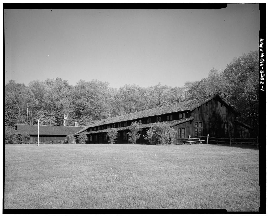
Happy Days Shelter, 434 West Streetsboro Road (State Route 303), Peninsula, Summit County, OH. Surveyed as HABS OHIO,77-PEN.V,2-, with 1 photograph and a 212-word written history.

From the record

“Happy Days Shelter, 434 West Streetsboro Road (State Route 303), Peninsula, Summit County, OH”

Survey record header. Machine-read text.

surveyed by the federal HABS program as HABS OHIO,77-PEN.V,2- · the record runs 212 words · one of 65 surveyed structures published for this county.
Sources: the survey record at the Library of Congress

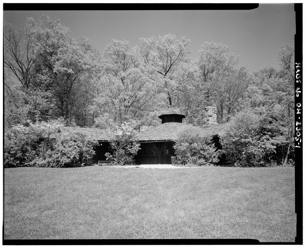
Happy Days Shelter, 434 West Streetsboro Road (State Route 303), Peninsula, Summit County, OH, photograph filed with the federal survey

1 photograph from the federal survey record, Library of Congress.

Written history

160 words

Source document Quoted word for word from HABS OHIO,77-PEN.V,2-. Not written, edited or summarised by this site.

HISTORIC AMERICAN BUILDINGS SURVEY HAPPY DAYS SHELTER HABS No. OH-2302 434 West Streetsboro Road (State Route Peninsula vicinity, Summit County, Ohio The Happy Days Shelter and other such buildings helped make the Cuyahoga Valley accessible to visitors from the surrounding areas, and represent the work of the civilian Conservation Corps in the vicinity. Building is a two-story barn-like structure flanked by sheds running along the full length of both sides. The wood used is chestnut. Civilian Conservation Corps workers finished The Happy Days Shelter in It was the last CCC construction in what was then the Virginia Kendall Park, part of the Akron Metropolitan Parks System.

Originally the structure served as an overnight summer camp for children, until the After that, it was used as a picnic shelter. Currently it is the visitor's center for the Cuyahoga Valley National Recreation Area. Telephone conversation with Paulette Oswick, Architectural Historian, Cuyahoga Valley National Recreation Area, July 18, Robert Buerglener, HABS, July 18,

In context

Peninsula, Ohio The place record: every map, photograph and survey of this town.
Summit County, Ohio 112 topographic sheets across the county.
Library of Congress record The original filed report, and the sheets the survey produced. Those published here appear above.

Also surveyed in Peninsula

14 records

The federal surveyors worked through Peninsula building by building. These are the other structures they measured and filed a report on, longest report first.

SheetStructure SurveyReport
Everett Forest Tree Nursery HALS OH-611,317 words
Ohio & Erie Canal, photograph filed with the federal surveyOhio & Erie CanalHAER OHIO,77-PEN.V,5-2,791 words
Octagon Shelter, photograph filed with the federal surveyOctagon ShelterHABS OHIO,77-PEN.V,4-2,149 words
Manatoc ReservationHABS OH-2483865 words
Kendall Lake Shelter, photograph filed with the federal surveyKendall Lake ShelterHABS OHIO,77-PEN.V,1-242 words
Ledges Shelter, photograph filed with the federal surveyLedges ShelterHABS OHIO,77-PEN.V,3-218 words
Ohio & Erie Canal, photograph filed with the federal surveyOhio & Erie CanalHAER OHIO,77-PEN.V,6-46 words
Ohio & Erie Canal, photograph filed with the federal surveyOhio & Erie CanalHAER OHIO,77-PEN,2-46 words
Manatoc ReservationHABS OH-2483-C44 words
Manatoc ReservationHABS OH-2483-D44 words
Manatoc ReservationHABS OH-2483-E44 words
Manatoc ReservationHABS OH-2483-A43 words
Manatoc ReservationHABS OH-2483-B41 words
H. V. Bronson House, photograph filed with the federal surveyH. V. Bronson HouseHABS OHIO,77-PEN,1-25 words

Provenance

  • Written history. Quoted verbatim from HABS OHIO,77-PEN.V,2-. United States federal work, no copyright under 17 U.S.C. 105.
  • Text capture. Machine-read from the scanned typescript filed with the survey, so spelling and spacing follow the original page.
  • How this page is made. Documentary passages are quoted from linked records; page labels and counts are clearly marked as presentation or calculations.