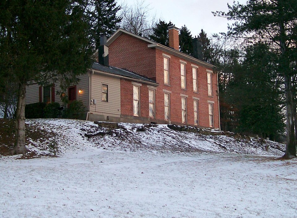
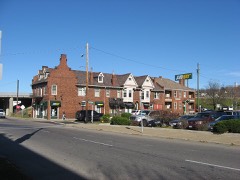
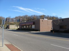
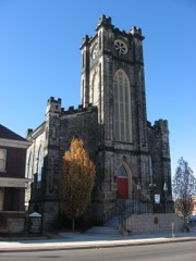
Listed on the National Register of Historic Places in
1979. A historic map-sheet match is not published yet. The record needs a coordinate-quality review before it can be joined to a sheet boundary.
From the record
“Time worked partial reconciliation but the slumbering opposition of Zanesville was fanned into a living flame of political hatred by the rumor that the state convention of the Ohio Anti-Slavery Society was to assemble in the stone academy in May, 1839. Howells, an Englishman, engaged in tanning at Woodlawn avenue and Harrison street, and others, had made ethusiastic speeches before the convention, which the mob considered inflammatory, and the information was carried into the country, and hundreds of rural pro-slavery men came into Zanesville to reinforce the haters of the Abolitionists.”
Past and Present of the City of Zanesville and Muskingum County, Ohio (1905). Machine-read text.
one of 70 National Register listings in Muskingum County · listed in 1979 · category: Building.
National Register reference number.79001915- the number the National Park Service assigned this property when it was listed, and the key its nomination file is catalogued under at the National Archives.
What happened here
An account from the chapter on Zanesville city, The inset identifies its exact
source book and publication year.
was so named in honor of Captain John C. Hazlett, of 2d O. V. I., and his cousin, Harry Hazlett, of the 5th U.S. Artillery, both of whom were killed during the Civil war; the post was organized June 1, 1881, with the following officers: C. C. Goddard, post commander; M. V. B. Kennedy, senior vice commander; Wilson C.
The first election for officers for the town of Zanesville was held April 2, 1814, and resulted in, the choice of William Craig, mayor; William Blocksom, recorder; Samuel Frazey, treasurer; Ezekial Bassett, appraiser; Peter Mills, George Reeve, Nathan C. Findlay and James Hampson, councilmen. Findlay refused to serve and John Hamm was chosen to fill the vacancy. The mayor-elect was an Irishman, and carpenter by trade, who came to the town in 1805, and with Thomas Moorehead erected the first Methodist church, in Second street; he was a devout Methodist and had the confidence of his neighbors, but had an insatiable ambition to hold public office; his elevation to the mayoralty caused him to aspire to gubernatorial honors and he became a candidate ; fifty-one votes were cast in his favor in Muskingum county, and none elsewhere, but he was ever after called '""Governor,'' and was pleased with the sobriquet. In 1817 he was appointed collector of county taxes and absconded with the money, located near St. Louis, where his wife joined him and where his investments in real estate made him very wealthy. His bondsmen were James' Mc- Guire, who was bankrupted; James Linder, who was nearly ruined; and James Herron and James Hampson, who were able to sustain the loss without injury.
July 2, 1819, the County Commissioners created Zanesville township, beginning on the Muskingum river on the line dividing the twelfth and thirteenth ranges; thence north to the military line; thence east to the line dividing the sixth and seventh ranges; thence north with said line to the line dividing the second townships of ranges six and seven; thence west to the Muskingum river and down it with the meanderings to the place of beginning. This tract embraces nearly all of what is now Wayne and Washington townships and the present city east of the river; Washington township was cut off June 5. 1822, and Wayne, \larch 6, 1826. Several amendments to the original act were made and March 19, 1850, an act was passed creating the city of Zanesville, which was to comprise so much of the county of Muskingum as was embraced within the limits of and designated in the records of the county as Zanesville township. The act divided the city into four wards, the east and west line of division being the center of the National road from the eastern boundary of the township to the intersection with the center of Fountain alley, and from that point with the center of the allev to the river; the north and south division line was the center of Cypress alley, from both sides of the city. The First ward was the southwest corner of the city as so divided: the Second ward, the northwest corner ; the Third ward, the southeast corner and the Fourth ward, the northeast corner. The mayor was to be
Regional context, not property-specific
evidence. The
federal wildfire occurrence database
lists 56 fires within 5 miles of Blocksom-Rolls House between
2002 and 2020, burning about 45 acres in total. None started naturally. 2 were recorded as arson.
Distance is straight-line from the map coordinates, so a fire counted
here may appear on a neighbouring settlement's page as well.
Reported cause
Fires
Debris and open burning
33
Missing data/not specified/undetermined
5
Equipment and vehicle use
5
Power generation/transmission/distribution
5
Smoking
3
Arson/incendiarism
2
Recreation and ceremony
2
Other causes
1
The most recent of
them, most recent first, with the day each was reported and the service
that recorded it.
Regional context, not property-specific
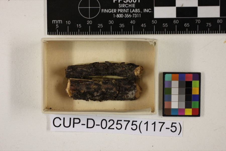
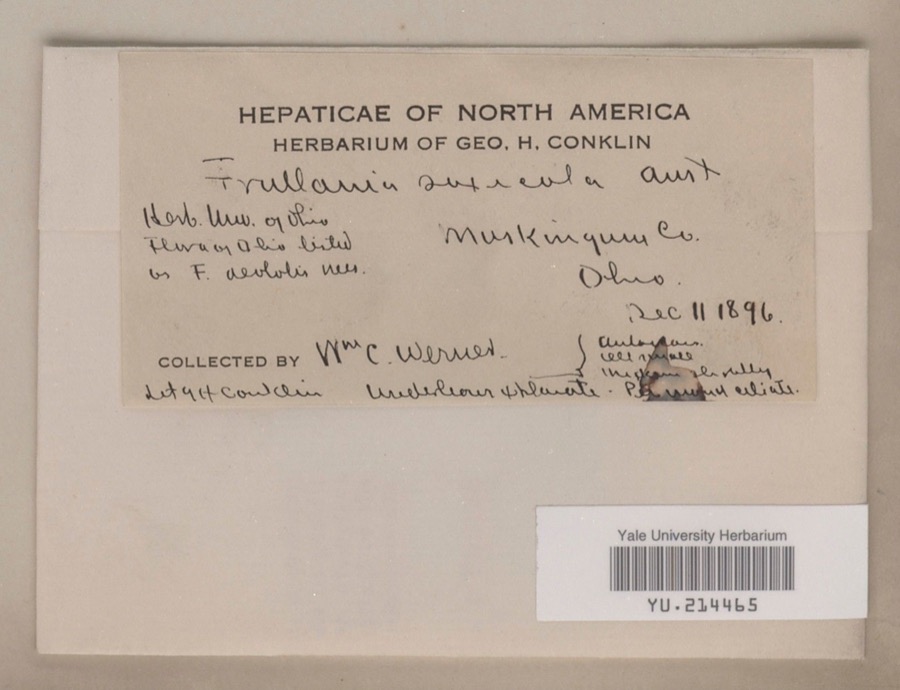
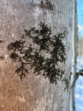
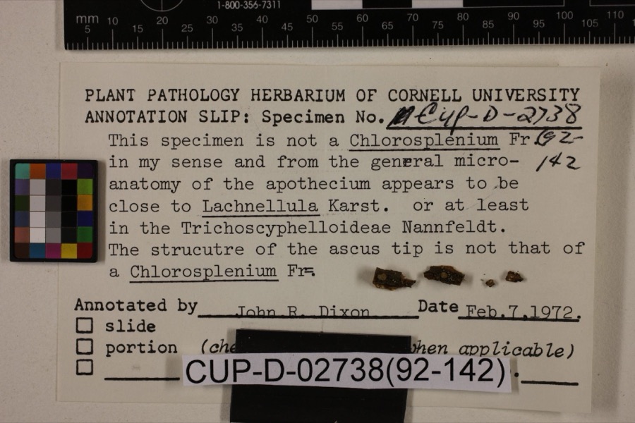
evidence. Museums hold 858 specimens
collected within 10 miles of Blocksom-Rolls House between 1873 and
1975: 737 Animalia, 96 Plantae, 15 Fungi, 5 Protozoa, 4 Unrecorded, 1 Chromista. 12 distinct Species records are shown.
Collected by A.E. Miller, Adams, W. (William), Trautman, M. B. (Milton Bernard) et al., Adams, W. M. and others. Each is a
physical object with a catalogue
number, and each entry opens the museum's record. This is what was
collected and kept, not a survey of what lives here - nothing can be
concluded from a species being absent.
Regional context, not property-specific
evidence. The federal mineral resources record lists
8 workings within 5 miles of Blocksom-Rolls House: 5 producers, 3 past producers.
5 still produce. What was taken out: Sand and Gravel, Construction, Iron. Distance is straight-line from the
map coordinates, so a quarry counted here may appear on a neighbouring
settlement's page as well.
Regional context, not property-specific
evidence. The National Weather Service names
Zanesville, the town this property stands in, in 113 storm reports between 1994 and 2026: 62 thunderstorm wind, 26 hail, 17 flash flood, 5 flood.
The reports record 1 death. Each account below is quoted exactly as the forecast office
filed it, from the NOAA Storm Events Database, and each date
opens the federal record of that event.
Thunderstorm winds blew down four power poles and power lines just north of Zanesville. Several trees were also reported down across the eastern part of the county.
Street flooding was reported in and near Zanesville after 1.30 inches fell in 20 minutes. Large branches were downed east of Zanesville. One branch fell on a passing motorist's car. There was no mention of any injuries.
No historic map-sheet match is published
for this property yet. That does not mean no map exists. This record needs
a coordinate-quality review before it can be joined to a sheet boundary.
Browse the county's mapped places while that work is
pending.
From the nomination file
3,034 words on record
When this property was proposed for the
National Register, someone wrote the case for it: what the building is,
and why it matters. That document is a federal record in the public domain.
It is quoted below word for word, never summarised. The text was read off the scanned case file by machine, so the
occasional stray character is the recogniser's and the 1970s
typewriter's.
Description of the property
on the three-bay gable end are tall windows, double hung six-over-six, set on extended An 1890s photo indicates that an open frame porch, with machine sewn gingerbre once graced the front of the house. It has long-since been removed. additions, has been coated with a layer of asbestos protective covering, which, of course completely obscures the fine detail of the brick and stone on the house. Some of this covering is already falling off, and the present owners plan to remove it all in their restoration of the exterior of the building. The interior of the -Blocksom-Rolls House boats eight rooms and the above- panels, above the opening of the fireplace, depict the mythological character. ments in the house were made at Blocksom's Union Foundry.
This house is located on Eastman Street, built on a side hill overlooking down- UNEXPOSED CONDITION MOVED XALTERED DETERIORATED UNALTERED stead CHECK ONE RUINS _FAIR _EXCELLENT Interstate 70,Bethesda Hospital stood a short distance from the house. original,with paneled glass exterior wall.Two.one-story additions have been X.GOOD features a trabeated door with sidelights and transom of etched red glass. All of th on each floor. The east wall of the house differs slightly from the west in that of four windows, there are but two on the second level and an inset sunroom appa to the north gable end comparatively early in the house's-history. The first The only visable evidence of the porch is the concrete porch floor and matkings mentioned sunroom.
There is a large hallway opening from the main entrance, featuring a handsome straight stairway with a subdued oak balustrade: Five fire- The most outstanding feature of the interior is found in two cast iron fireplace facings. Mazeppa, tied naked to the back of a hourse.
The house was built between 1848 and 1850 by George Washinpton operator, and During G. W.Blocksom's children. Upon cksom Widney, the daughter the house passed out of the Blocksom family for the first tine The Blocksom-Rolls House stands today as a prime example of this transitional style of architecture in the City of Zanesville. 1600-1699 1500-1599 1400-1499 ART BUILDER/ARCHITECT PERIOD LAW SIGNIFICANCE ARCHEOLOGY-HISTORIC CONSERVATION AGRICULTURE PREHISTORIC THEATER LITERATURE ARCHITECTURE MILITARY SOCIAL/HUMANITARIAN _TRANSPORTATION _COMMUNICATIONS X1800-1899 period between _1700-1799 _COMMERCE _INDUSTRY .EDUCATION _ECONOMICS - RELIGION POLITICS/GOVERNMENT Mrs.Blocksom's death in 1904,the house passed to Alice a its 120-odd year life.
- ENGINEERING _MUSIC -_1900- ARCHEOLUGY-PREHISTORIC -COMMUNITY PLANNING flourishing of the Greek Revival and the Italianate achicectual.. second house in the city of Zanesville to have electricity, being at the Post Office, but left Zanesville to attend medical school in Cincinnati. ing his completion of school, Dr. Blocksom returned to his home town and practiced Eventually he entered the wholesale drug of G. W. Blocksom's brother, Horace. Mrs. Widney's husbass. Harvey, was a druggist daughter, Margaret, and her husband, Frank Rolls lived in the house with the the home was owned - EXPLORATION/SETTLEMENT _PHILOSOPHY Upon Washington Blocksom wired about 19 Follov 9
Quoted from the National Register nomination
for reference 79001915, 18 pages, held by the National Archives in Record
Group 79. See the
catalogue record.
Listed places nearby
6 within 8 miles
Other National Register properties close
enough to walk or drive between, ordered by distance from this one. Both
positions come from the same geocoding pass that matched these properties
to their map sheets.
Listing record. National Park Service National Register of Historic Places, listed-properties dataset, current to 2026-05-22.
Map join. Address geocoded through the United States Census geocoder, then tested against the published boundary of every sheet in the USGS Historical Topographic Map Collection.
How this page is made. Listing fields come from federal records; map-sheet coverage is a labelled coordinate-to-boundary calculation, not a source-field claim.
Wildfire. Short, Karen C. 2022. Spatial wildfire occurrence data for the United States, 1992-2020 [FPA_FOD_20221014]. 6th Edition. Fort Collins, CO: Forest Service Research Data Archive. https://doi.org/10.2737/RDS-2013-0009.6 Collected with United States Government funding and usable without additional permissions or fees.
Specimens. Global Biodiversity Information Facility (GBIF), https://www.gbif.org/. Only records licensed CC0 or CC BY are used. Records licensed CC BY-NC are excluded because this site carries advertising. Images are checked individually and any whose licence is non-commercial, no-derivatives or unreadable is refused.
Mines and quarries. USGS Mineral Resources Data System (MRDS) https://mrdata.usgs.gov/mrds/ A work of the United States government, no copyright under 17 U.S.C. 105.
Storms. NOAA National Centers for Environmental Information, Storm Events Database https://www.ncei.noaa.gov/stormevents/ A work of the United States government, no copyright under 17 U.S.C. 105. Narratives are quoted verbatim from the National Weather Service report and are not edited or summarised.
 Block
Block