 Block
From the record
22 National Register listings published here.
Sources: the National Register database, National Park Service
59 topographic sheets and 6 fire insurance atlases across 1 place.
22 National Register listings published here.
Sources: the National Register database, National Park Service
Taken for the Office of War Information and the Farm Security Administration, who photographed the country between 1935 and 1944. Works of United States government photographers, with no known restriction on use. Each opens its catalogue record.
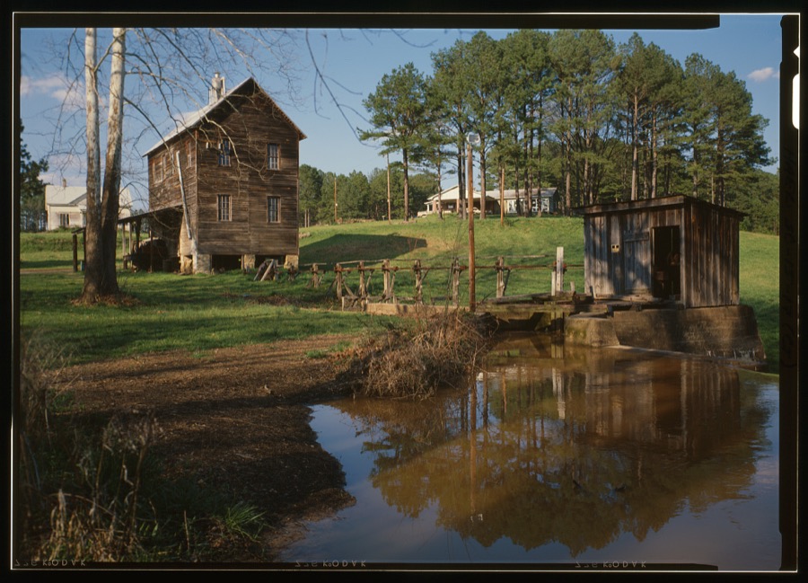
Every property in this county listed on the National Register of Historic Places, with the year it was listed and the federal nomination document.
| Photograph | Property | Type | Listed | Reference |
|---|---|---|---|---|
| Bracknell's Store Complex | building | 2026 | 100012507 | |
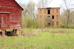 | Calhoun Mill | building | 1980 | 80003679 |
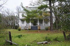 | Calhoun-Gibert House | building | 1996 | 96000220 |
| John De La Howe State School | building | 1970 | 100001247 | |
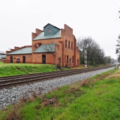 | Dorn's Flour and Grist Mill | building | 1976 | 76002158 |
 | Joseph Jennings Dorn House | building | 1985 | 85003342 |
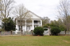 | Eden Hall | building | 1980 | 80003678 |
 | Farmer's Bank | building | 1985 | 85003343 |
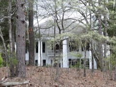 | Gibert, John Albert, M.D., House | building | 1993 | 93000441 |
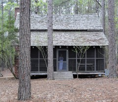 | Guillebeau House | building | 1973 | 73002136 |
 | Otway Henderson House | building | 1985 | 85003344 |
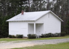 | Hopewell Rosenwald School | building | 2010 | 10000340 |
 | Hotel Keturah | building | 1985 | 85003345 |
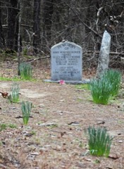 | Long Cane Massacre Site | site | 1983 | 83002203 |
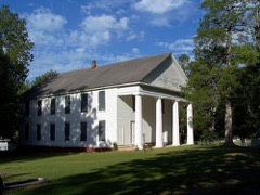 | Lower Long Cane Associate Reformed Presbyterian Church | building | 1999 | 98000426 |
 | McCormick County Courthouse | building | 1985 | 85003346 |
| McCormick County Office Building | building | 2024 | 100009699 | |
 | McCormick Train Station | building | 1985 | 85003347 |
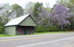 | Mount Carmel Historic District | district | 1982 | 82003895 |
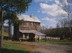 | Price's Mill | building | 1972 | 72001465 |
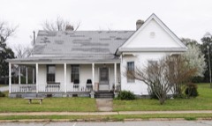 | M. L. B. Sturkey House | building | 1985 | 85003348 |
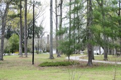 | Sylvania | building | 1977 | 77001533 |
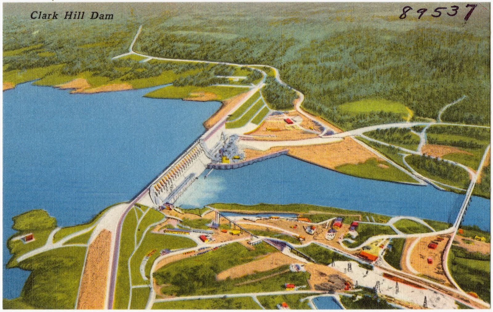
Selected from the Digital Public Library of America's 4 image records catalogued for this county. Every one shown here carries a public-domain status or a licence that permits reuse on a site that carries advertising; non-commercial, share-alike and restricted images are excluded. The selection is spread across the county's towns (at most eight per town), so no single institution's bulk upload crowds out the rest. Each opens the holding library's record, and the complete set at the Digital Public Library of America is one click away.



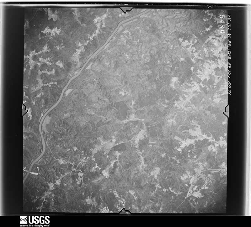
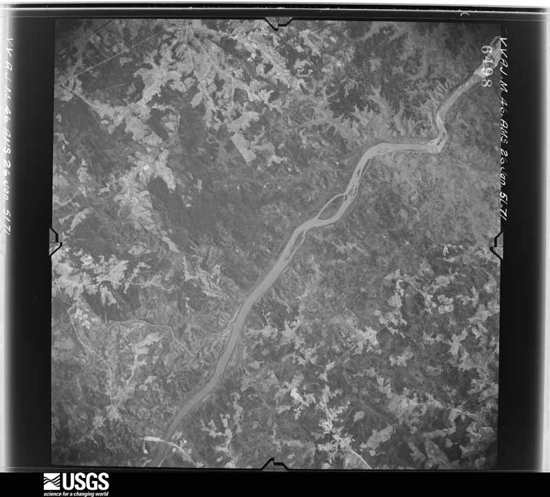
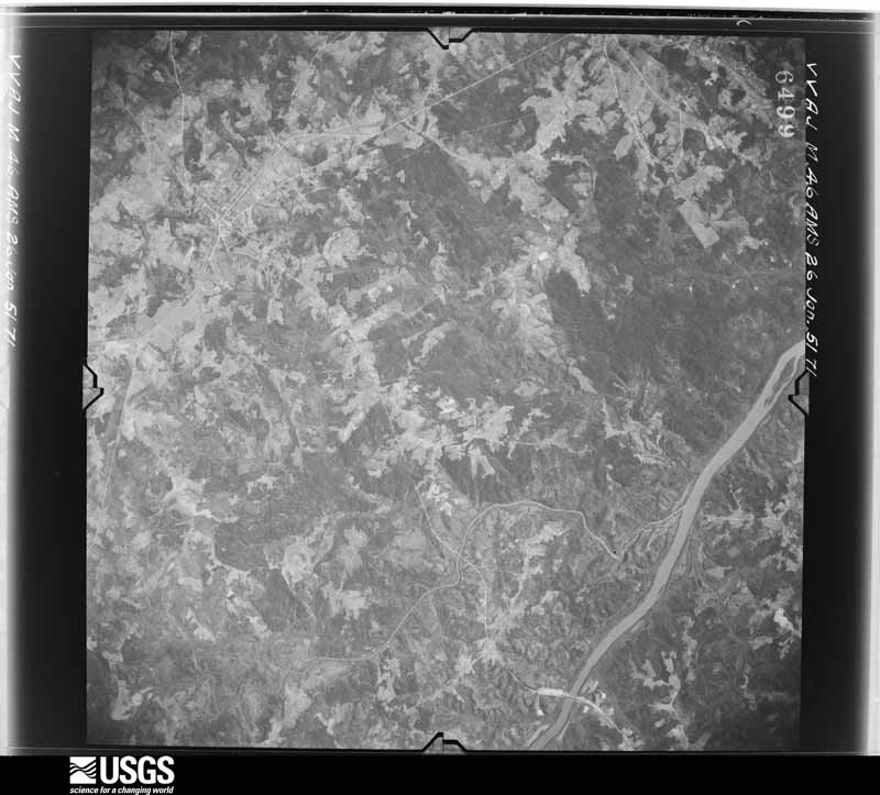
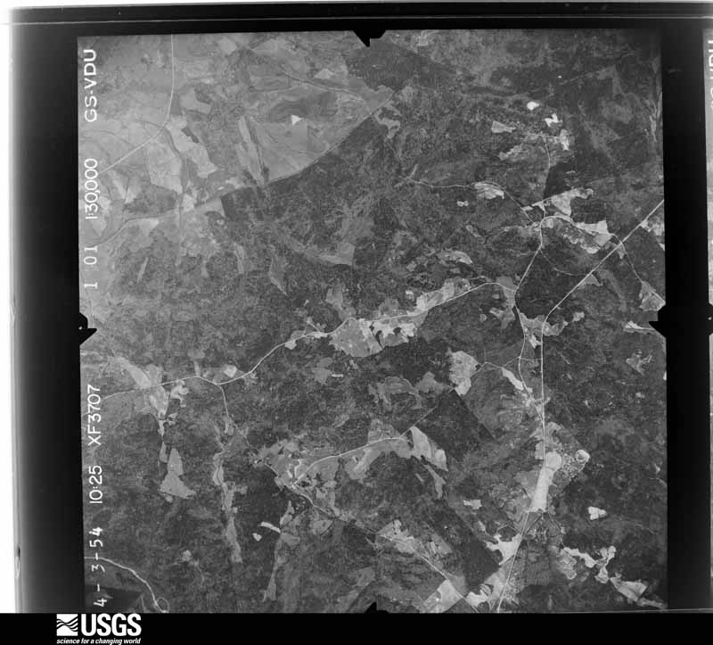
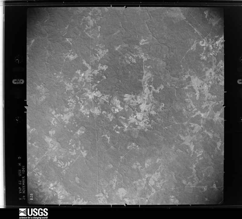
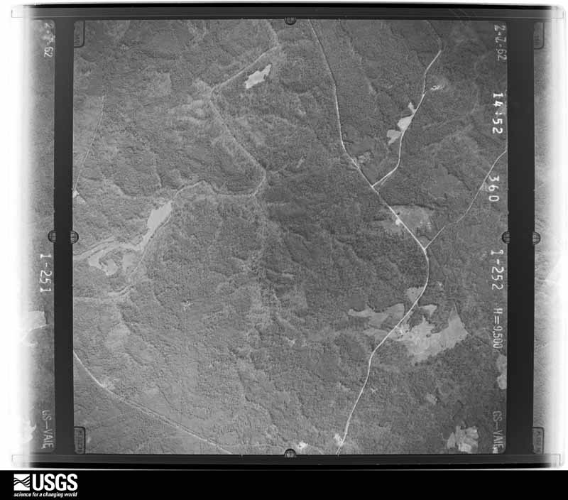
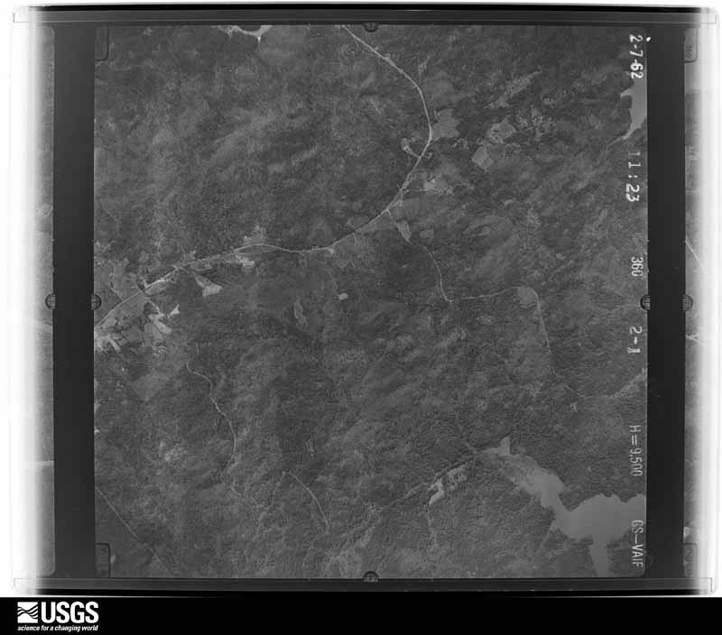
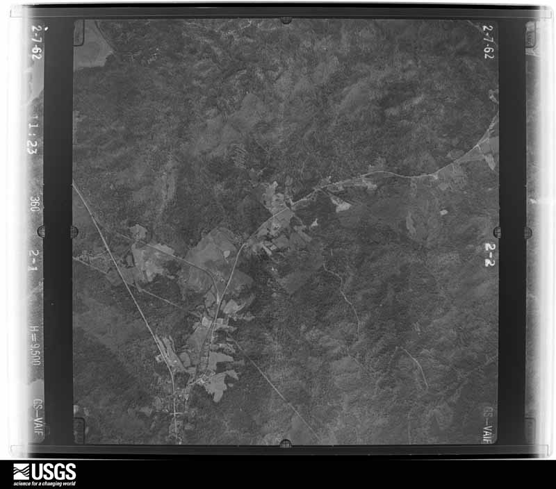
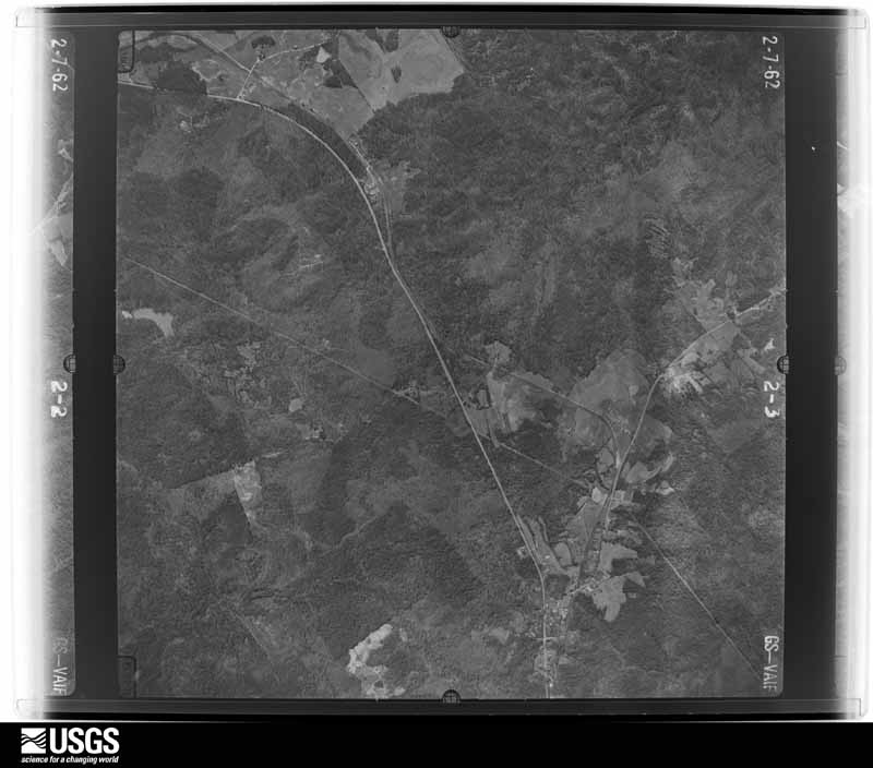
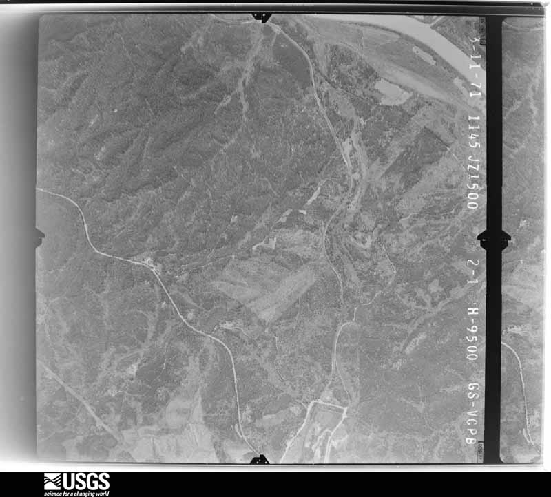
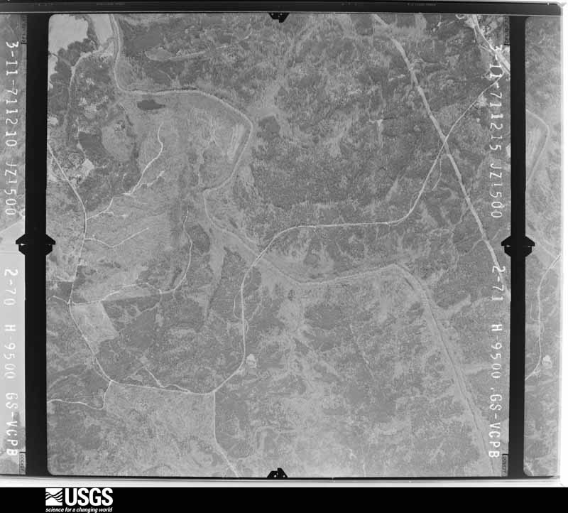
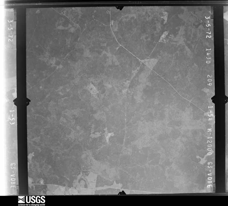
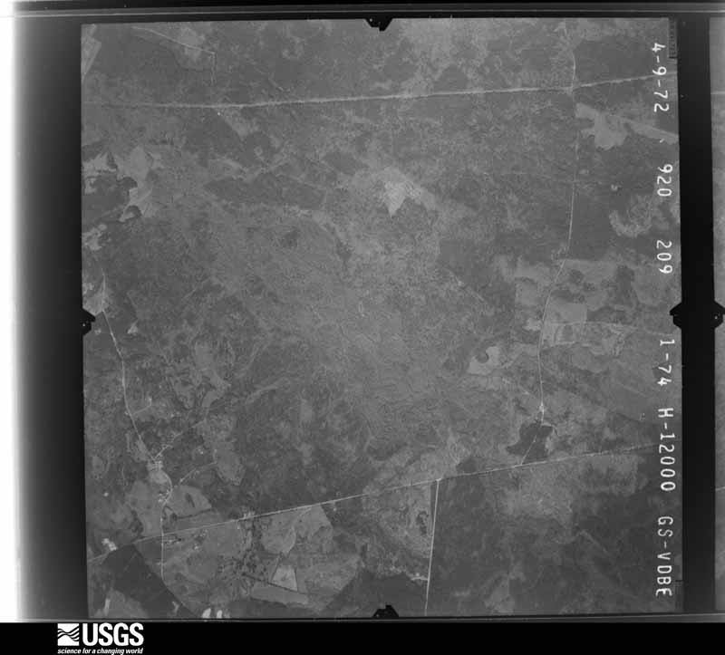
Flown by the U.S. Geological Survey between 1937 and 1989, the Aerial Photo Single Frames collection is the definitive mid-century view of the land: fields, roads and rivers as the camera saw them. The Survey holds 1,259 frames inside the rectangle that bounds this county; the 38 frames below were taken over the county itself, chosen across the decades of flights (at most four a year from that rectangle), so one flight cannot crowd out the rest. The full set is free to browse and download at EarthExplorer under the dataset Aerial Photo Single Frames.

























The thermometers that kept this county's weather, and the gages that measured the flow of its streams, as the federal records hold them. The extremes below are measured values from those records, not estimates.
Who lived here in 1950, one enumeration district at a time, as the Census Bureau described each district. Each row opens its official National Archives result, with Population Schedules and ED Maps available there.
Every wildfire the federal occurrence database records inside this county: 637 of them, burning about 3,332 acres. 29 started naturally and 66 were recorded as arson. Each settlement page carries the fires within five miles of it.
| Reported cause | Fires |
|---|---|
| Missing data/not specified/undetermined | 277 |
| Debris and open burning | 129 |
| Arson/incendiarism | 66 |
| Equipment and vehicle use | 54 |
| Railroad operations and maintenance | 29 |
| Natural | 29 |
| Smoking | 18 |
| Recreation and ceremony | 17 |
| Misuse of fire by a minor | 10 |
| Power generation/transmission/distribution | 7 |
| Other causes | 1 |
The five largest, by the area the report gives. Three of them were set deliberately.
| Date | Cause | Size | Reported by | Name on the report |
|---|---|---|---|---|
| 15 April 2006 | Arson/incendiarism | 108 acres | South Carolina Forestry Commission | not named |
| 11 March 2017 | Natural | 101 acres | Francis Marion & Sumter National Forests | ANNIVERSARY |
| 24 July 1993 | Missing data/not specified/undetermined | 99 acres | South Carolina Forestry Commission | not named |
| 16 September 2019 | Missing data/not specified/undetermined | 97 acres | Francis Marion & Sumter National Forests | LITTLE RIVER FIRE |
| 22 July 1993 | Missing data/not specified/undetermined | 90 acres | South Carolina Forestry Commission | not named |
| 29 March 2012 | Arson/incendiarism | 81 acres | Francis Marion & Sumter National Forests | WILSON |
| 26 March 2001 | Equipment and vehicle use | 69 acres | South Carolina Forestry Commission | not named |
| 23 October 2013 | Arson/incendiarism | 65 acres | Francis Marion & Sumter National Forests | GOAT ROPING |
Every settlement page carries the fires within five miles of it - see the settlement index below.
The NOAA Storm Events Database holds 225 reports for this county, causing no deaths, 6 injuries and about $1,110,220 in recorded property damage. Each settlement page carries the reports that name it.
| Kind of event | Reports |
|---|---|
| Thunderstorm Wind | 151 |
| Hail | 50 |
| Tornado | 16 |
| Flash Flood | 7 |
| Lightning | 1 |
The most serious of them, by death, then injury, then recorded damage. The accounts are quoted exactly as the forecast office filed them.
| When | Event | Place named | Harm | What the report says |
|---|---|---|---|---|
| November 2002 | Tornado (F0) | Mt Carmel | 2 hurt | An F0 tornado traveled along SC hwy 19 east of Mt Carmel and took down trees and powerlines. The tornado traveled 4 miles, skipped 2 miles, then was on the ground another 3 miles. Two people suffered minor injuries when a tree fell in front of their vehicle and they crashed into it. |
| March 1974 | Tornado (F1) | not stated | 1 hurt, $250,000 | no account filed |
| January 1962 | Tornado (F1) | not stated | 1 hurt, $2,500 | no account filed |
| May 2024 | Thunderstorm Wind | Mc Cormick | 1 hurt | McCormick County officials reported a collision between a vehicle and downed tree in roadway along Chestnut Ridge Road north of McCormick. Driver was taken to the hospital for unknown injuries. |
| June 1998 | Thunderstorm Wind | Mc Cormick | 1 hurt | EPD reported trees down on home. An elderly woman had minor injuries. |
| November 1992 | Tornado (F3) | not stated | $250,000 | no account filed |
| February 2009 | Lightning | Meriwether | $200,000 | Lightning struck a home in the Mt. Vintage subdivision in Merriwether causing major damage to a 2 story brick home. |
| May 2003 | Thunderstorm Wind | Mt Carmel | $80,000 | A macroburst took down numerous trees causing damage to several homes and destroying a mobile home. |
| May 1998 | Hail | Mc Cormick | $60,000 | COOP observer reported baseball size hail. |
| May 2010 | Thunderstorm Wind | Plum Branch | $38,000 | McCormick Messenger reported many trees and powerlines were taken down in the lower half of the county. A couple of trees fell on a carport damaging a vehicle. |
| April 2011 | Thunderstorm Wind | Clarks Hill | $18,000 | Aiken Standard reported trees down in Clarks Hill Park from the storms. One tree fell on a camper destroying it and just missing the occupants. |
| June 2011 | Thunderstorm Wind | Mc Cormick | $16,000 | EM reported trees and powerlines down countywide including east of McCormick on US 378 heading toward Edgefield, Holiday road, Fishing Village road, Landam Creek road, and a host of others. |
| July 2012 | Hail | Plum Branch | $15,000 | Sheriff reported golfball size hail. |
| May 1998 | Hail | Mc Cormick | $15,000 | Sheriff reported golf ball size hail. |
| July 2013 | Thunderstorm Wind | Mt Carmel | $12,000 | Sheriff reported numerous trees down in the Mt. Carmel area. |
| November 2010 | Thunderstorm Wind | Bordeaux | $12,000 | Sheriff reported trees down on power lines and a couple down on John De La Howe School on Hwy 81. |
| May 2010 | Thunderstorm Wind | Mc Cormick | $12,000 | DOT reported several trees and powerlines down west of McCormick between Hugenot Parlway and Pierce Road. |
| December 2015 | Flash Flood | Mt Carmel | $10,000 | County EM reported multiple road closures including Iron Bridge Road...New Hope Road and Hwy. 823 at Mt. Carmel. |
| June 2011 | Thunderstorm Wind | Mt Carmel | $10,000 | Sheriff reported trees and powerlines down in the northern end of the county around Mt. Carmel. |
| June 2011 | Thunderstorm Wind | Plum Branch | $10,000 | Sheriff reported trees down in the Plum Branch area. The McCormick Messenger Newspaper also reported a boat shed destroyed on Landam Creek Road in Plum Branch. |
| August 2014 | Thunderstorm Wind | Woodlawn | $8,000 | County dispatch reported trees down on Lost Wilderness Road, Gilchrist Ferry Road, and Old Plum Branch Road. |
| July 2013 | Flash Flood | Parksville | $8,000 | DOT reported heavy rains washed out a couple of roads in the Parksville over the the lake. Low lying areas also had up to 2 feet of standing water. |
| October 2011 | Thunderstorm Wind | Clarks Hill | $8,000 | EM reported trees down on Hwy 28 near Clarks Hill. |
| August 2001 | Thunderstorm Wind | Parksville | $8,000 | Corp of Engineers reported trees down on a home on the south shore of Clarks Hill Lake. |
| July 2014 | Thunderstorm Wind | Troy | $6,000 | EM reported trees down from straight line winds along Rocky Creek Road near the Greenwood County line. |
| June 2010 | Thunderstorm Wind | Meriwether | $5,000 | WAGT TV reported trees down in Meriwether. |
| September 1995 | Thunderstorm Wind | McCormick | $5,000 | Numerous trees and powerlines down McCormick to Modoc. |
| June 2013 | Thunderstorm Wind | Bordeaux | $4,000 | Dispatch reported trees down on Huguenot Pkwy at Jacque Circle and on Hwy 28 at Taylor Creek. |
| January 2013 | Thunderstorm Wind | Willington | $4,000 | Sheriff reported several trees down on Foster Road. |
| March 2012 | Thunderstorm Wind | Plum Branch | $4,000 | Dispatch reported a couple of trees down on Hwy 221. |
| April 2011 | Thunderstorm Wind | Mc Cormick | $4,000 | Sheriff reported trees down along Hwy 221 just north of McCormick. |
| February 2007 | Tornado (EF1) | Meriwether | $4,000 | An EF1 tornado started in Meriweather and intermittently touched down along a northeast track to 6 miles SSW of Edgefield. Minor damage was done to two homes with trees down along its path. |
| August 2015 | Thunderstorm Wind | Mc Cormick | $3,000 | Dispatch reported trees down on Hwy 378 about 4 miles east of McCormick. |
| October 2011 | Thunderstorm Wind | Willington | $3,000 | EM reported trees down on powerlines on Hwy 28 near Richey road. |
| April 2009 | Thunderstorm Wind | Willington | $3,000 | Dispatch reported trees down on hwy 81 near Willington. |
| June 2009 | Thunderstorm Wind | Mc Cormick | $3,000 | Hickory Knob State Park reported several trees were down. |
| January 1972 | Tornado (F1) | not stated | $2,500 | no account filed |
| September 2014 | Thunderstorm Wind | Modoc | $2,000 | DOT reported trees down on secondary road 93 between Parksville and Modoc. |
| July 2012 | Thunderstorm Wind | Woodlawn | $2,000 | DOT reported some trees down on Woodlawn Road. |
| May 2011 | Thunderstorm Wind | Bordeaux | $2,000 | EM reported trees down on Morrah Bridge road. |
| May 2011 | Thunderstorm Wind | Mt Carmel | $2,000 | DOT reported trees down in the Mt. Carmel area. |
| July 2010 | Thunderstorm Wind | Mt Carmel | $2,000 | Public reported a couple trees down on Mars Bridge road just east of Mt. Carmel. |
| December 2009 | Thunderstorm Wind | Mc Cormick | $2,000 | Sheriff reported a thunderstorm took a couple of trees down on hwy 28 near Kelly street. |
| August 2009 | Thunderstorm Wind | Mc Cormick | $2,000 | Post Office reported several trees down on hwy 81. |
| August 2009 | Thunderstorm Wind | Mt Carmel | $2,000 | Army Corp of Engineers reported several trees down at Mt. Carmel Corp Campground. |
| June 2011 | Thunderstorm Wind | Plum Branch | $1,000 | Public reported a couple of trees down on SR 283 near Upper Miller road. |
| April 2019 | Hail | Parksville | $100 | Pea size hail reported between Plum Branch and Parksville. |
| April 1998 | Thunderstorm Wind | Mc Cormick | $100 | A downburst took down a couple of trees around a home at the intersection of hwy 10 and secondary 51. |
| March 2021 | Hail | Bordeaux | $10 | Nickel size hail reported by an employee at Hickory Knob State Park. Time estimated. |
| April 2017 | Hail | Willington | $10 | Dime to nickel size hail reported near Willington along Hwy 81. |
| March 2025 | Thunderstorm Wind | Plum Branch | - | Multiple trees down along Harmony Road, New Hope Road, and Whitetown Road in Plum Branch. Time estimated via radar. |
| August 2025 | Flash Flood | Modoc | - | McCormick County Dispatch reported a portion of US 221 near State Park Rd was closed due to flash flooding. |
| August 2025 | Flash Flood | Plum Branch | - | Emergency Manager reported roadway closure due to flooding on Whitetown Rd at Stevens Creek which overflowed its banks. New Hope Rd just south of Whitetown Rd was also closed due to flooding. |
| August 2025 | Flash Flood | Mc Cormick | - | McCormick County dispatch reported a portion of Callison Hwy near Upper Mill Rd was closed due to flash flooding. |
| June 2025 | Thunderstorm Wind | Willington | - | McCormick County dispatch reported trees down along Hwy 28 north. Time estimated based on radar. |
| June 2025 | Thunderstorm Wind | Troy | - | McCormick county dispatch reported trees down at the intersection of US 221 and Eden Hall Rd. Time estimated by radar. |
| June 2025 | Tornado (EF1) | Mt Carmel | - | An NWS Greenville-Spartanburg storm survey confirmed a brief tornado touched down in Bobby Brown State Park in Elbert County, downing trees across Bobby Brown State Park Road and intensifying as it crossed Ranger Road. Dozens of trees were snapped and uprooted as the tornado approached a cove along the Savannah River. Some structural damage to pavilions occurred at the Bobby Brown Recreational Center. Tree damage was observed across the river in McCormick County SC, with some uprooted trees and large limbs broken. It is unknown how far into McCormick County the tornado may have traveled due to lack of roads on US Army Corps of Engineers property. |
| June 2025 | Thunderstorm Wind | Mt Carmel | - | McCormick County Dispatch reported trees down throughout the county. Time Estimated by radar. |
| June 2025 | Thunderstorm Wind | Mc Cormick | - | McCormick County Dispatch reported trees down throughout the county. Time Estimated by radar. |
| June 2025 | Thunderstorm Wind | Mc Cormick | - | McCormick County Dispatch reported trees down throughout the county. Time Estimated by radar. |
The Survey's mineral resources record lists 19 workings inside this county. None of them still produces: all are closed or unrecorded. Each settlement page carries the workings within five miles of it.
| Commodity | Workings |
|---|---|
| Gold | 14 |
| Barium-Barite | 2 |
| Copper | 2 |
| Zinc, Copper | 2 |
| Manganese | 2 |
| Barium-Barite, Gold | 1 |
| Stone | 1 |
| Gold, Barium-Barite | 1 |
| Copper, Silver, Lead, Zinc | 1 |
The least common of them first, because a county's hundredth gravel pit says nothing its first ten did not.
| Where | Site | Commodity | Status | Recorded |
|---|---|---|---|---|
| Barite Hill | Gold, Barium-Barite, Copper, Silver, Lead, Zinc | Past Producer | Pyrite, Gold, Chalcopyrite, Galena, Sphalerite | |
| Butler Prospect | Barium-Barite, Gold, Zinc, Copper | Past Producer | 1860 | |
| Plum Branch Quarry | Stone | Unknown | Metamorphic | |
| Abernathy and Kehaya/Dorn Mine | Manganese | Past Producer | 1942 | |
| Dorn Mine | Gold, Zinc, Copper | Past Producer | Vein/Stratabound | |
| Dorn Mine | Gold, Barium-Barite | Past Producer | ||
| Jennings Mine | Gold, Copper | Unknown | 1860 | |
| Link Mine/Smith | Gold, Copper | Past Producer | Placer | |
| Parsons Mt. Area-Piedmont Mn Belt | Manganese | Prospect | ||
| Self Mine | Gold, Barium-Barite | Past Producer | 1860 | |
| Barite Hill | Gold | Past Producer | 1984, 1991 | |
| Butler Prospect | Gold | Occurrence | ||
| Jennings Prospect | Gold | Prospect | ||
| Link Mine | Gold | Past Producer | ||
| Neill Mine | Gold | Past Producer | 1909, 1913 | |
| Neill Mine | Gold | Past Producer | ||
| Searl's Mine Or Searles Mine | Gold | Past Producer | 1860 | |
| Searles Prospect | Gold | Occurrence | ||
| Self Mine | Gold | Past Producer |
Named settlements recorded in the Geographic Names Information System, each with the topographic sheets covering it. Villages, hamlets and abandoned places alike. Each is shown with the nearest named watercourse or landform and the survey quadrangle it falls on. The 1 place that was also surveyed for fire insurance comes first, with the number of atlases and photographs held for them.
Mount Carmel census division · 29848 · Calhoun Creek quadrangle
13 sheets, 1892 to 1979
McCormick census division · 29845 · On Church Branch · Parksville quadrangle
16 sheets, 1892 to 1988
No longer a settlement
Mount Carmel census division · 29835 · On Mill Creek · Willington quadrangle
17 sheets, 1892 to 1988
Mount Carmel census division · 29848 · On Persimmon Branch · Verdery quadrangle
15 sheets, 1892 to 1979
McCormick census division · 29835 · On Vall Branch · McCormick quadrangle
16 sheets, 1892 to 1988
Mount Carmel census division · 29628 · On Lott Creek · Calhoun Creek quadrangle
13 sheets, 1892 to 1979
Parksville census division · 29821 · On Buzzard Branch · Clarks Hill quadrangle
24 sheets, 1892 to 1988
McCormick census division · 29835 · On Blue Branch · Winterseat quadrangle
16 sheets, 1892 to 1988
No longer a settlement
Mount Carmel census division · 29835 · On Mathis Creek · Willington quadrangle
17 sheets, 1892 to 1988
McCormick census division · 29835 · On Doctors Branch · Winterseat quadrangle
16 sheets, 1892 to 1988
McCormick census division · 29835 · On Persimmon Branch · McCormick quadrangle
16 sheets, 1892 to 1988
Parksville census division · 29838 · On Reese Branch · Clarks Hill quadrangle
24 sheets, 1892 to 1988
Mount Carmel census division · 29840 · Calhoun Falls quadrangle
14 sheets, 1893 to 1979
Parksville census division · 29845 · On Byrd Creek · Parksville quadrangle
16 sheets, 1892 to 1988
McCormick census division · 29835 · On Lick Creek · Winterseat quadrangle
16 sheets, 1892 to 1988
No longer a settlement
Mount Carmel census division · 29835 · On Horse Branch · Willington quadrangle
17 sheets, 1892 to 1988
The vanished settlements of McCormick County: the places named above that are no longer on the map.
16 topographic sheets and 6 fire insurance atlases, 1894 to 1935
The complete index, with nothing left out. Each of these is a separate record with its own page: a federal survey report, or the case file that argued a property on to the National Register. Both are public domain and reproduced word for word.
The vanished settlements of McCormick County, the places these records name that are no longer on the map.