 Block
East Putnam, Connecticut
23 topographic sheets cover this place, the earliest surveyed in 1889 and the latest in 1984. It stands in Putnam town. It lies in ZIP code area 06260. It stands on Keach Brook. The Survey maps it on the Thompson quadrangle.
Topographic sheets covering this place
11 surveys from 23 printed sheetsMatched by testing this settlement's coordinate against the published boundary of every sheet in the United States Geological Survey's historical collection. Each opens the scanned sheet at the Survey.
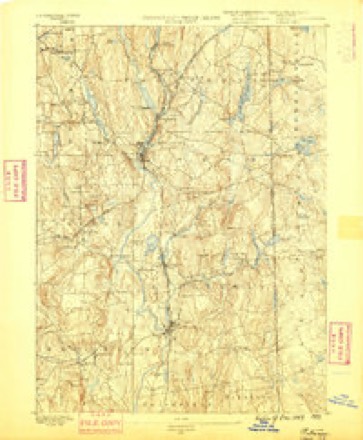
- 1889 USGS Putnam quadrangle1:62500
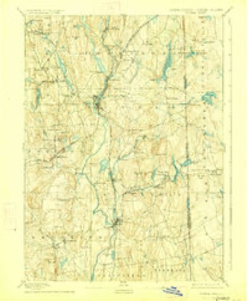
- 1893 USGS Putnam quadrangle1:62500, 8 printings
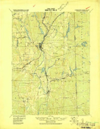
- 1919 USGS Putnam quadrangle1:62500
- 1943 USGS Putnam quadrangle1:125000
- 1947 USGS Providence quadrangle1:250000, 5 printings
- 1948 USGS Providence quadrangle1:250000
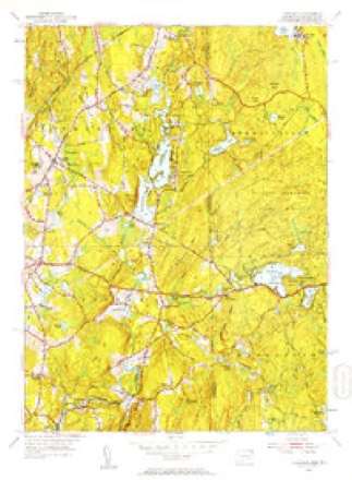
- 1955 USGS Thompson quadrangle1:24000, 2 printings
- 1957 USGS Providence quadrangle1:250000
- 1958 USGS Providence quadrangle1:250000
- 1963 USGS Providence quadrangle1:250000
- 1984 USGS Providence quadrangle1:100000







In the county-history sources
43,471 words on this townshipHistory of Windham County, Connecticut .., published 1889 names this settlement in its chapter on Putnam Town. These are the passages that mention it, exactly as the scans read.
The church gained steadily, but did not think it wise to agitate the question of building a house of worship, and Quinebaug Hall was used for that purpose. A building lot on the corner orMain and Pomfret streets was given to the society by Messrs. Wilkinsons and Dorrance, and here a small church edifice was built, and dedicated January 15th, 1852. Mr. Huntington had been then succeeded by Reverend J. Leonard Corning, an able and attractive preacher, soon demanded by churches of larger promise. The pulpit was supplied by Reverend Sidney Deane and Reverend J. R. Johnson until 1856, when a change of base had been effected and the church recognized as the Second Congregational church of Putnam. The impulse given in the creation of the new town extended quickly to the churches. During the ministry of Reverend Eliakim Phelps the number of church members steadily increased, and during the great revival of 1858 many were gathered in. Reverend George Tillotsoii entered upon the pastorate March 10th of that year, when the church numbered about one hundred members. Year by year gain was made in numbers, efficiency and liberality. Ere long the congregation had outgrown the place of worship, and the site of the present church edifice was secured. The former lot was sold, and an ample and convenient church building erected, and dedicated April 28th, 1870. The membership of the church was then increased to over two hundred. December 20th, Rev- erend Thomas M; Boss was installed as pastor, and served for six years with zeal and efficiency. A quarter-century commemoration was observed the second Sabbath of July, 1873, when a very interesting historical discourse was given by Mr. Boss. Reverend E. B. Huntington, first pastor of the church, assisted in the service, and reminiscences were related in the evening exercises by older members of the church. A system of rules for the ordering of the church was adopted during the pastorate of Mr. Boss.
Passage source: History of Windham County, Connecticut .., published 1889.
Progressive Putnam has its conservative element and does not change merely for the sake of changing. A faithful public servant is retained in office. In thirty -four years she has had but one town clerk and treasurer ; her school visitors have had long terms of service ; her post office has had but few incumbents. Hiram N. Brown succeeded John O. Fox in 1861. His successor, Perry Wilson, held the position till a recent date. The office is now administered by Edward MuUan. Some twenty-five mails are handled daily. The Central Telephone office, Putnam Division, is managed by L. H. Fuller, general insurance agent. Putnam's railroad facilities at the junction of two important lines are very advantageous. The opening and the establishment of the New York & New England railroad, after long struggles and embarrassment, has been an important factor in its later development. Nearly fifty passenger and freight trains pass
Passage source: History of Windham County, Connecticut .., published 1889.
Machine-read from a century-old scan, so expect the errors a machine makes: misspelled names, dropped words, stray characters.
Fires near this place
98 since 1992Regional context, not property-specific evidence. The federal wildfire occurrence database lists 98 fires within 5 miles of East Putnam between 1992 and 2020, burning about 228 acres in total. None started naturally. 8 were recorded as arson. Distance is straight-line from the map coordinates, so a fire counted here may appear on a neighbouring settlement's page as well.
| Reported cause | Fires |
|---|---|
| Missing data/not specified/undetermined | 65 |
| Misuse of fire by a minor | 10 |
| Arson/incendiarism | 8 |
| Debris and open burning | 7 |
| Recreation and ceremony | 4 |
| Smoking | 2 |
| Equipment and vehicle use | 2 |
The most recent of them, most recent first, with the day each was reported and the service that recorded it.
| Date | Cause | Size | Reported by | Name on the report |
|---|---|---|---|---|
| 8 September 2015 | Smoking | 1.0 acres | Rhode Island Division of Forest Environment | not named |
| 7 September 2020 | Arson/incendiarism | under an acre | Connecticut Division of Forestry | BAKER RD/QUADDICK TOWN FARM ROAD |
| 15 September 2020 | Missing data/not specified/undetermined | under an acre | Connecticut Division of Forestry | 15 RIDGE ROAD |
| 7 August 2020 | Missing data/not specified/undetermined | under an acre | Connecticut Division of Forestry | I395 S EX47 |
| 4 August 1993 | Equipment and vehicle use | 5.0 acres | Connecticut Division of Forestry | not named |
| 3 August 2020 | Missing data/not specified/undetermined | under an acre | Connecticut Division of Forestry | 60 BORDER TRAIL |
| 27 August 2020 | Missing data/not specified/undetermined | under an acre | Connecticut Division of Forestry | 1 RIDGE ROAD |
| 23 August 2020 | Missing data/not specified/undetermined | under an acre | Connecticut Division of Forestry | 148 QUINN'S HILL ROAD |
Settlements close enough to share some of these fires:
Mines and quarries near this place
7 within 5 milesRegional context, not property-specific evidence. The federal mineral resources record lists 7 workings within 5 miles of East Putnam: 3 producers, 2 unknowns, 2 past producers. 3 still produce. What was taken out: Sand and Gravel, Construction, Gold, Stone, Dimension, Molybdenum. Distance is straight-line from the map coordinates, so a quarry counted here may appear on a neighbouring settlement's page as well.
| Where | Site | Commodity | Status | Recorded |
|---|---|---|---|---|
| Durfee Hill Gold Mine | Gold, Molybdenum | Past Producer | ||
| Durfee Hill Mine | Gold, Silver | Past Producer | ||
| Hughes Quarry | Stone, Dimension | Producer | ||
| Munyon Road Pit | Sand and Gravel, Construction | Producer | ||
| R.A. Rawson Sand & Gravel, Inc. | Sand and Gravel, Construction | Unknown | ||
| R.A. Rawson Sand & Gravel, Inc. | Sand and Gravel, Construction | Unknown | ||
| Townfarm Road Pit | Sand and Gravel, Construction | Producer |
Nearest settlements
The eight closest, with where each one stands in the county. Distances are straight-line, computed from the Geographic Names Information System coordinates.
| Map | Place | Distance | Sheets |
|---|---|---|---|
| Quaddick | 1.7 miles | 23 | |
| Pineville | 2.8 miles | 23 | |
| Putnam Heights | 3.1 miles | 23 | |
| Ballouville | 3.5 miles | 23 | |
| Thompson | 3.9 miles | 23 | |
| East Killingly | 4.4 miles | 30 | |
| Mechanicsville | 4.5 miles | 29 | |
| Attawaugan | 4.7 miles | 30 |
Provenance
This settlement is recorded in the Geographic Names Information System as feature 212450. The sheet list is computed by point-in-boundary test against the United States Geological Survey's historical topographic inventory. Both are works of the United States government and carry no copyright under 17 U.S.C. 105.
Wildfire. Short, Karen C. 2022. Spatial wildfire occurrence data for the United States, 1992-2020 [FPA_FOD_20221014]. 6th Edition. Fort Collins, CO: Forest Service Research Data Archive. https://doi.org/10.2737/RDS-2013-0009.6 Collected with United States Government funding and usable without additional permissions or fees.
Mines and quarries. USGS Mineral Resources Data System (MRDS) https://mrdata.usgs.gov/mrds/ A work of the United States government, no copyright under 17 U.S.C. 105.