 Block
Block
Dayton, Ohio
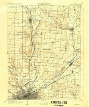
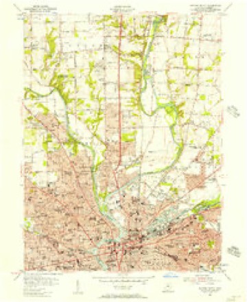
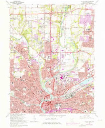
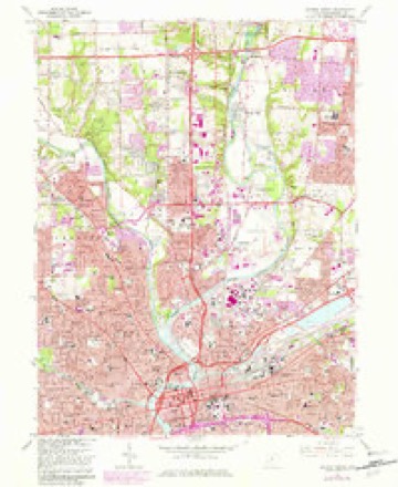
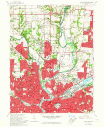
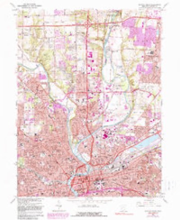
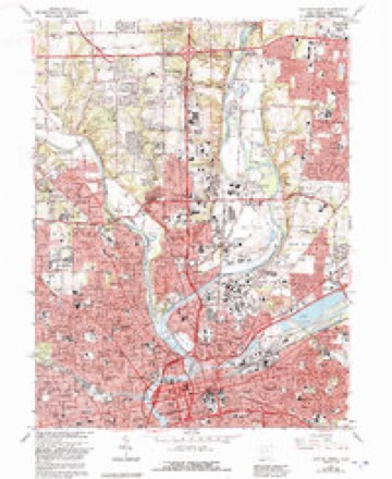
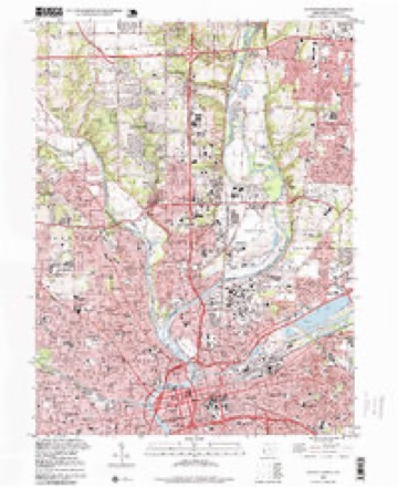
16 topographic sheets cover this place, the earliest surveyed in 1904 and the latest in 1996. It stands in Dayton City. It lies in ZIP code area 45402. It stands on Mad River. The Survey maps it on the Dayton North quadrangle. 137,644 people lived here at the 2020 count. It stands 738 feet above sea level.
Research this city
This curated hub for Montgomery County, Ohio brings together the page's documented record links, visible map or image evidence where published, and routes to related local records.
What is documented here?
Use the page's provenance and linked records to distinguish the source material from the site's navigation and summaries.
How should I cite it?
Open the original record, preserve its repository and identifier, then use the citation tool for this page as a path back to the source.
Where should I go next?
Follow the county or state hub for related places and records, then use the guide for a source-aware research sequence.
Population over time
2 figuresDayton fell from 141,527 to 137,644 between 2010 and 2020. These are the recorded population figures Wikidata holds for this place, reached through the Geographic Names Information System number this page is keyed on rather than by name, so they belong to this place and not to another of the same name. Most are census counts, but not all are: an early figure may be a founding or settlement estimate. The change column is computed, and is left blank where more than 20 years separate a figure from the one before it, because a gap that long is not a change between two counts.
| Year | People | Change |
|---|---|---|
| 2010 | 141,527 | |
| 2020 | 137,644 | -3,883 (-3%) |
Then and now
1904 to 1996The same ground, surveyed 92 years apart. Drag the handle to wipe between them. Both sheets are United States Geological Survey originals; neither has been altered.
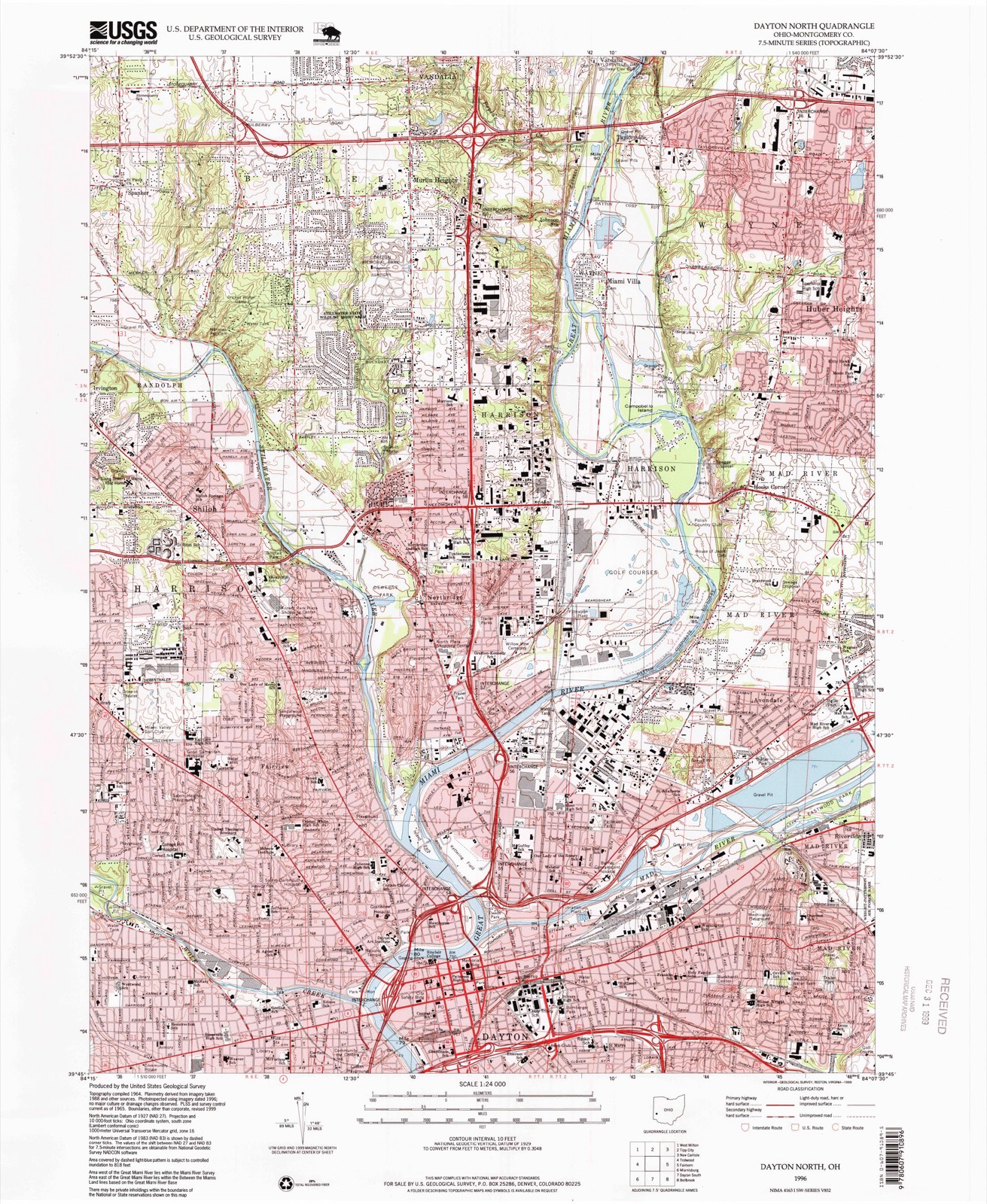
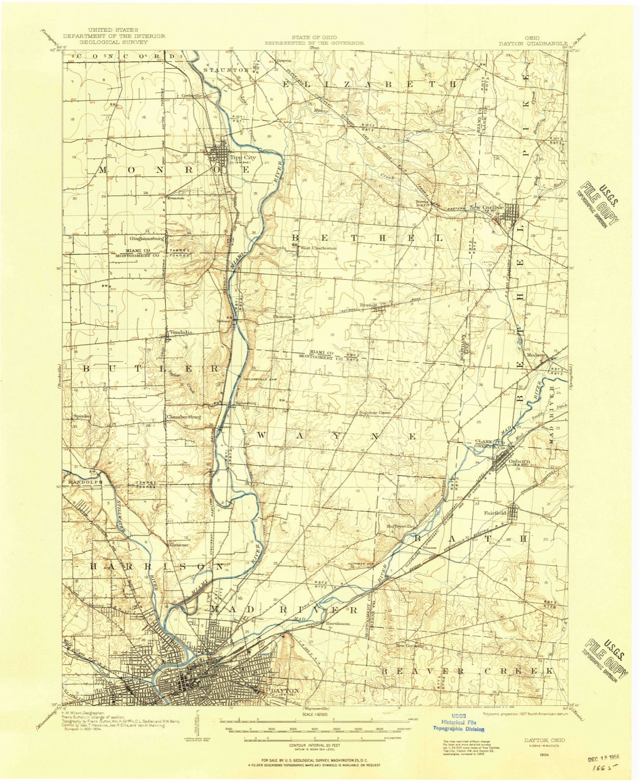
Compare 1904 against another survey:
Topographic sheets covering this place
16 sheetsMatched by testing this settlement's coordinate against the published boundary of every sheet in the United States Geological Survey's historical collection. Each opens the scanned sheet at the Survey.
- 1904 USGS Dayton quadrangle1:62500
- 1906 USGS Dayton quadrangle1:62500
- 1906 USGS Dayton quadrangle1:62500
- 1953 USGS Cincinnati quadrangle1:250000
- 1953 USGS Cincinnati quadrangle1:250000
- 1953 USGS Cincinnati quadrangle1:250000
- 1955 USGS Dayton North quadrangle1:24000
- 1957 USGS Cincinnati quadrangle1:250000
- 1965 USGS Dayton North quadrangle1:24000
- 1965 USGS Dayton North quadrangle1:24000
- 1965 USGS Dayton North quadrangle1:24000
- 1965 USGS Dayton North quadrangle1:24000
- 1965 USGS Dayton North quadrangle1:24000
- 1986 USGS Dayton quadrangle1:100000
- 1986 USGS Dayton quadrangle1:100000
- 1996 USGS Dayton North quadrangle1:24000






What happened here
An account from the chapter on Dayton city, The inset identifies its exact source book and publication year.
Con Tents
A Typical Frontier Vavern - Daytou Contained Nine Dwellings in 1799- - Several Roads Opened--Monument Avenue Cleared--Main Street a Narrow Wagon Road - Settlements Few and Far Between - Hardships of Pioneer Life--Tidian War Apprehended - Block House Built - Schooi Opened in the Block House- - First Distillery Started - Cooper's Saw Mill - Corn Cracker - Hogs Introduced - Feed on Mast - Attacked by Wild Animals--First Flat Boat Launched-Sheep Introduced - Cost of Groceries at Cinciunati - Little Money jin Circulation - Business Conducted by Barter - Value of Diffsrent Kinds of Skins--Cut Money - McDougal's Store - Trade with the Indians - First Child Boro in Dayton - Taxation in 1800 - First Wedding - Census in 1801 - First Miuister - - Methodists - Presbyterians--Log Meeting House - First Grave Yard - - Jobn W.
In the county-history sources
783,752 words on this townshipThe History of Montgomery County, Ohio, Containing a History of the County;, published 1882 names this settlement in its chapter on Dayton City. These are the passages that mention it, exactly as the scans read.
During the winter of 1796-97, Dayton Township and other township, were formed, making eleven in all in the county, viz., Cincinnati, Columbi; Miami, Anderson. Iron Ridge, South Bend, Colerain, Springfield, Fairfiel Deerfield and Dayton. Fairfield Township included the territory east of tl Big Miami, now in Butler County. Deerfield Township included the territoi west of the Little Miami, now in Warren County, and that part of Montgon irj County between the Miami Rivers south of the north line of the fifth range )f" townships. Dayton Township was bounded as follows: Beginning at a point >n the east bank of the Big Miami, where it was intersected by the north line )f the fifth range of townships; thence up that river in all its meanderings to he Indian boundary-lino, at a point where said river crossed the said Indian boundary -line, in Section 18, Township 2, in the fom-teenth range of townships, between the Miamis; thence along said line to Ludlow's line, and down that ine to the southeast corner of Section 5, Township 6, in the eighth range of townships between the Miamis, where was a branch of the Little Miami River; hence down the river to the north line of the fifth range of townships; thence (vest with said line to the place of beginning. The township thus described infiuded within its limits territory that now forms portions of the counties of Montgomery, Greene, Miami, Clark, Champaign, Logan and Shelby. All of Wayne, Mad River and Van Buren, with parts of Washington, Dayton and Miimi Townships, of Montgomery County, as at present formed, were in Dayton Township.
Passage source: The History of Montgomery County, Ohio, Containing a History of the County;, published 1882.
The Commissioners of Hamilton County, on the 10th of June, 1797, at a neeting held at the Mansion House, of Seth Cutter's, in Cincinnati, appointed Assessors and Collectors for the several townships. James Brady was made Issessor, and John Kitchell, Collector, of Dayton Township. John Kitchell, 'ailing to qualify, Calvin Morrill, was, on the 25th of August, appointed in his lead, and Cyrus Osborn was appointed Constable of Dayton Township. Constables made returns of persons and property to the Assessors, who made the iists and assessments, that were placed in the hands of the Township Collectors for collection. The Commissioners and Assessors jointly controlled the disbursenents, making regular reports to the County Court. The reports of assessments ind collections for Dayton Township for this year, were lost in transit, between Dayton and Cincinnati ; the Clerk was ordered to forward duplicates, and Collector Morrill was directed to make return by the 15th of January, 1798. There vere sixteen delinquents in the township, and the Collector made final return, fight of them non est, seven satisfied and one lost. After the lists were returned each year, the Commissioners and Assessors met as a Court of Appeals, to hear appeals against assessments. The following orders show the amount of fees paid to these first officers.
Passage source: The History of Montgomery County, Ohio, Containing a History of the County;, published 1882.
Sir - You will pay James Brady Five Dollars and Twenty Cents, out of the first monies that come into your hands, the same being his perquisites in full as Assessor for the Township of Dayton for the year 1797, and this shall be your warrant for so doing.
Passage source: The History of Montgomery County, Ohio, Containing a History of the County;, published 1882.
Machine-read from a century-old scan, so expect the errors a machine makes: misspelled names, dropped words, stray characters.
Read the whole chapter on Dayton City - it names this place 43 more 43 times.
Photographs
8 photographs, 1936 to 2019Taken for the Office of War Information and the Farm Security Administration, who photographed the country between 1935 and 1944. Works of United States government photographers, with no known restriction on use. Each opens its catalogue record.

Palmer, Alfred T., photographer, 1942. Library of Congress

Highsmith, Carol M, 2016. Library of Congress
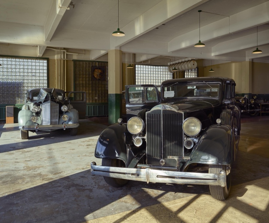
Highsmith, Carol M, 2016. Library of Congress

Highsmith, Carol M, 2019. Library of Congress
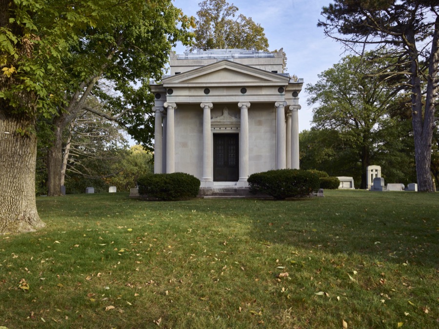
Highsmith, Carol M, 2016. Library of Congress
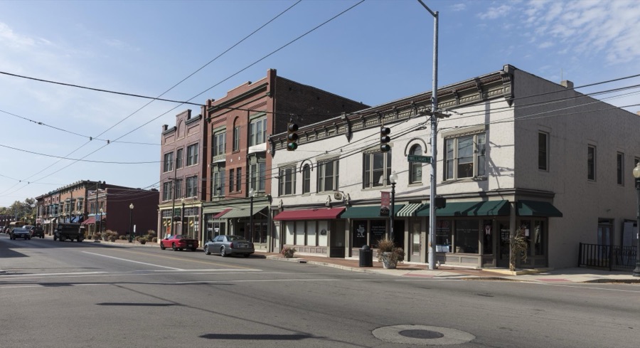
Highsmith, Carol M, 2016. Library of Congress
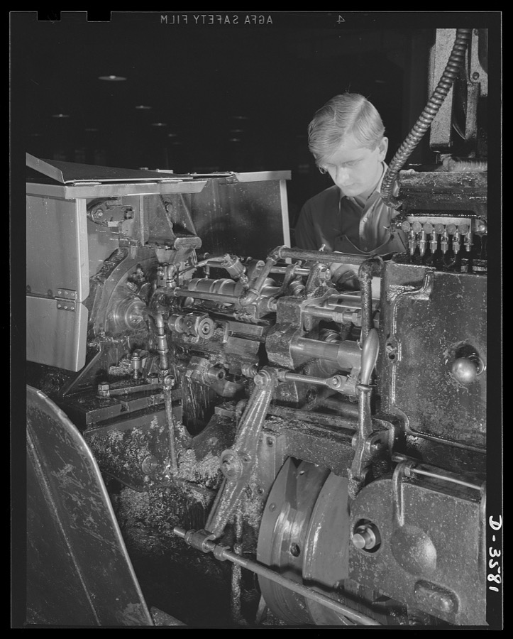
Palmer, Alfred T., photographer, 1942. Library of Congress
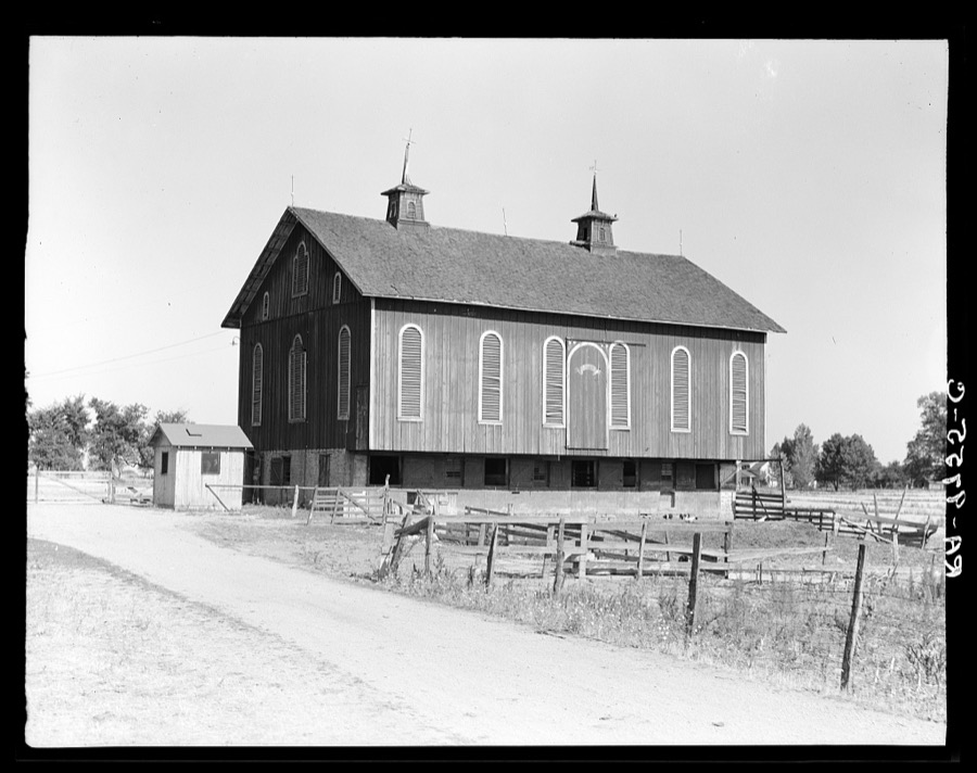
Lange, Dorothea, photographer, 1936. Library of Congress
Specimens collected near this place
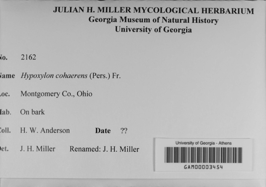
12 of 1,009 shownRegional context, not property-specific evidence. Museums hold 1,009 specimens collected within 10 miles of Dayton between 1835 and 1975: 848 Animalia, 90 Plantae, 59 Fungi, 4 Protozoa, 4 Unrecorded, 4 Chromista. 12 distinct Species records are shown. Collected by A JOHN, A JOHN AND W E DUELLMAN, A. E. Foeerste and others. Each is a physical object with a catalogue number, and each entry opens the museum's record. This is what was collected and kept, not a survey of what lives here - nothing can be concluded from a species being absent.
| Image | Species | Year | Collected by | Where, as recorded |
|---|---|---|---|---|
 | Ambrosia artemisiifolia L. | 1881 | Foerste AF | |
 | Geaster limbatus Fr. | 1883 | A. E. Foeerste | Dayton |
 | Hypoxylon cohaerens (Pers.) Fr. | 1897 | H. W. Anderson | |
 | Botrypus virginianus (L.) Michx. | 1835 | Joseph C. Frank | Ohio, Miami [County] |
 | Platanthera leucophaea (Nutt.) Lindl. | 1836 | C. W. Short | Dayton |
 | Erythronium americanum Ker Gawl. | 1837 | van Cleve, John W. | 3 mi. north of Dayton |
 | Hydrophyllum macrophyllum Nutt. | 1838 | J. W. Van Cleve | Dayton |
 | Allium canadense L. | 1839 | not recorded | Dayton. 1 mi. northeast. |
 | Cardamine L. | 1839 | Sanders, Alfred; J.J. Nagel, J.G. Haupt. | Dayton. 1 mile east. |
 | Cassia marilandica L. | 1839 | Sanders, Alfred | Dayton |
 | Cynoglossum officinale L. | 1839 | not recorded | Dayton. Suburbs E. |
 | Iris versicolor L. | 1839 | not recorded | Dayton. 2 mi. south |
All 1,009 specimens within 10 miles, at the Global Biodiversity Information Facility.
Mines and quarries near this place
10 of 15 shownRegional context, not property-specific evidence. The federal mineral resources record lists 15 workings within 5 miles of Dayton: 10 past producers, 5 producers. 5 still produce. What was taken out: Sand and Gravel, Construction. Distance is straight-line from the map coordinates, so a quarry counted here may appear on a neighbouring settlement's page as well.
| Where | Site | Commodity | Status | Recorded |
|---|---|---|---|---|
| Broadway Sand and Gravel Inc | Sand and Gravel, Construction | Producer | ||
| Broadway Sand and Gravel Pit | Sand and Gravel, Construction | Past Producer | Sedimentary | |
| East River Road Pit | Sand and Gravel, Construction | Past Producer | ||
| East River Road Pit | Sand and Gravel, Construction | Past Producer | Sedimentary | |
| Jackson Pit | Sand and Gravel, Construction | Past Producer | Sedimentary | |
| Jackson Sand Co. Pit | Sand and Gravel, Construction | Producer | ||
| Moraine Materials Pit No 5 | Sand and Gravel, Construction | Producer | ||
| Moraine Materials Sand & Gravel | Sand and Gravel, Construction | Past Producer | ||
| South Dayton Pit | Sand and Gravel, Construction | Past Producer | Sedimentary | |
| Southern Hills Supply, Inc. Pit | Sand and Gravel, Construction | Past Producer | Sedimentary |
Storms near this place
60 of 74 shownRegional context, not property-specific evidence. The National Weather Service names Dayton in 74 storm reports between 1994 and 2026: 41 thunderstorm wind, 15 hail, 8 flash flood, 7 flood. The reports record 1 injury. Each account below is quoted exactly as the forecast office filed it, from the NOAA Storm Events Database, and each date opens the federal record of that event.
| When | Event | Place named | Harm | What the report says |
|---|---|---|---|---|
| April 2015 | Lightning | Dayton | 1 hurt | A University of Dayton student, Sean Ferguson, 23 of Pittsburgh, was struck by lightning as he ran across university parking lot C. The student was hospitalized with serious burns and a broken jaw. |
| April 2000 | Thunderstorm Wind | Dayton | $200,000 | Thunderstorms winds measured by spotters as high as 72 mph downed numerous trees, many of which fell on cars and blew on to and into homes. A construction trailer was severely damaged and some businesses received damage. |
| June 2001 | Lightning | Dayton | $100,000 | Lightning struck a building causing it to catch on fire. |
| July 1994 | Thunderstorm Wind | Dayton | $50,000 | Trees were downed. A large propane tank was blown over near Dayton. Large hail fell over the western part of Dayton. |
| June 1999 | Thunderstorm Wind | Dayton | $30,000 | A roof was blown off of a residence in East Dayton as well as several utility poles that were snapped in half. Numerous trees were down in the vicinity of Glenrock Road and East Fifth Street. Several trees landed on parked automobiles and garages. |
| August 2021 | Flash Flood | Dayton | $10,000 | A few motorists were stranded in high water near downtown Dayton. |
| June 2014 | Thunderstorm Wind | Dayton | $10,000 | Large limbs were downed at Patterson and River Park due to thunderstorm winds. Two large trees were also downed in the area. One tree fell on a house. |
| June 2014 | Flood | Dayton | $10,000 | High standing water under an overpass trapped a man on top of a car near Linden Avenue and Livingston Avenue. |
| August 2011 | Thunderstorm Wind | Dayton | $10,000 | Large tree limbs were reported down due to damaging thunderstorm winds. One of these tree limbs crushed a car. |
| July 2002 | Thunderstorm Wind | Dayton | $10,000 | Several trees were blown down. |
| August 2007 | Thunderstorm Wind | Dayton | $8,000 | Large tree limbs were downed. A tree fell on a house in Oakwood, causing minor structural damage. |
| June 2005 | Thunderstorm Wind | Dayton | $8,000 | Several large trees were downed across the southern Dayton metro area. An eight-foot diameter tree fell on a house. |
| June 2000 | Thunderstorm Wind | Dayton | $7,000 | Several trees were blown down in Butler Township. |
| May 1995 | Thunderstorm Wind | Dayton | $6,000 | Several trees were downed, some across power lines. Eight-three people were without power for a short period of time. |
| May 2019 | Thunderstorm Wind | Dayton | $5,000 | A tree was downed onto a house on 5 Oaks Avenue. |
| March 2011 | Flood | Dayton | $5,000 | Several roads were flooded due to heavy rainfall. |
| April 2003 | Thunderstorm Wind | Dayton | $5,000 | Several trees were downed in the city. |
| June 2001 | Flash Flood | Dayton | $5,000 | Two feet of water on roadways across eastern part of county |
| August 2000 | Thunderstorm Wind | Dayton | $5,000 | Trees knocked down in the southwestern part of the city. A wind gust of 62 mph was reported at the Dayton Dailey News building in downtown. |
| July 2000 | Thunderstorm Wind | Dayton | $5,000 | Trees knocked down. |
| August 1998 | Thunderstorm Wind | Dayton | $5,000 | Trees knocked down. |
| April 2026 | Thunderstorm Wind | Dayton | $4,000 | A tree fell onto some power lines. |
| June 2001 | Thunderstorm Wind | Dayton | $4,000 | Several trees and power lines reported down |
| February 2024 | Thunderstorm Wind | Dayton | $3,000 | Some wires were downed on Green Street. |
| February 2024 | Thunderstorm Wind | Dayton | $3,000 | Wires were downed on Drummer Avenue. |
| August 2021 | Thunderstorm Wind | Dayton | $3,000 | A few trees were downed in the city of Dayton. |
| July 2011 | Thunderstorm Wind | Dayton | $3,000 | Large limbs were reported broken. A large tree was uprooted. Numerous large tree limbs were down in the road. These occurrences were due to damaging thunderstorm winds. |
| June 2008 | Thunderstorm Wind | Dayton | $3,000 | Large tree limbs were downed. |
| May 2008 | Hail | Dayton | $3,000 | A few large tree limbs were also knocked down. |
| June 2008 | Thunderstorm Wind | Dayton | $3,000 | Large tree limbs were downed. |
| March 2007 | Flood | Dayton | $3,000 | A few roads were flooded and closed throughout the Dayton metro area. |
| August 2003 | Thunderstorm Wind | Dayton | $3,000 | Trees and powerlines were downed. |
| July 1995 | Thunderstorm Wind | Dayton | $3,000 | Large trees were downed, some across city streets. |
| May 1996 | Thunderstorm Wind | Dayton | $3,000 | no account filed |
| January 2008 | Thunderstorm Wind | Dayton | $2,000 | Large tree limbs were knocked down. |
| March 2022 | Thunderstorm Wind | Dayton | $1,000 | A tree was downed onto Fountain Avenue. |
| July 2015 | Thunderstorm Wind | Dayton | $1,000 | A large tree was blown down. |
| June 2014 | Thunderstorm Wind | Dayton | $1,000 | A large limb was downed on Wyoming Street due to thunderstorm winds. |
| December 2013 | Flash Flood | Dayton | $1,000 | Multiple roads were closed countywide due to high water caused by heavy rainfall. |
| January 2012 | Flood | Dayton | $1,000 | Several roads in the area were reported closed due to high water caused by heavy rain. |
| June 2012 | Thunderstorm Wind | Dayton | $1,000 | Multiple large tree limbs were downed due to damaging thunderstorm winds. |
| May 2011 | Thunderstorm Wind | Dayton | $1,000 | A tree was down across a road due to damaging thunderstorm winds. |
| May 2011 | Thunderstorm Wind | Dayton | $1,000 | A large tree was uprooted due to damaging thunderstorm winds. |
| June 2010 | Thunderstorm Wind | Dayton | $1,000 | Large tree limbs were reported down due to damaging thunderstorm winds. |
| August 2010 | Thunderstorm Wind | Dayton | $1,000 | Several large branches were reported down due to damaging thunderstorm winds. |
| June 2008 | Flood | Dayton | $1,000 | A foot to a foot and a half of water was standing on South Patterson between Apple and Stewart Roads. |
| April 2008 | Hail | Dayton | $1,000 | no account filed |
| June 2020 | Thunderstorm Wind | Dayton | $500 | A large limb was knocked down into the parking lot of the downtown Dayton YMCA parking lot. |
| July 2016 | Flash Flood | Dayton | $500 | A car was stranded on Keowee Street under State Route 4 due to high water. Three feet of water was also reported on Webster Street at the underpass of State Route 4. |
| June 2025 | Flash Flood | Dayton | - | Several inches of water were flowing across the roadway near the intersection of Wilfred and St Charles Avenues. |
| June 2025 | Flash Flood | Dayton | - | Several inches of water were flowing across Carlisle Avenue and Tacoma Street. |
| August 2020 | Flood | Dayton | - | Street flooding was reported on U.S. 35 and I-75. |
| April 2017 | Thunderstorm Wind | Dayton | - | Dime size hail was reported as well. |
| June 2017 | Hail | Dayton | - | Hail size was estimated from social media photo. |
| August 2016 | Thunderstorm Wind | Dayton | - | Winds were estimated by a trained spotter. |
| June 2015 | Heavy Rain | Dayton | - | Water was covering a road at the University of Dayton. |
| April 2015 | Hail | Dayton | - | In addition to the hail, small limbs were knocked down by estimated 60 MPH winds. |
| May 2014 | Flood | Dayton | - | A car was stalled in standing water beneath a railroad overpass due to heavy rainfall. |
| June 2012 | Thunderstorm Wind | Dayton | - | The spotter estimated the speed of the wind gust. |
| September 2002 | Flash Flood | Dayton | - | Numerous roads were flooded throughout the Dayton metropolitan area. A man had to be rescued when he drove his car into a flooded retention pond near the Dayton Mall. |
Newspapers printed here
0 digitised pages8 papers published in this town, digitised by the Library of Congress and free to read: 0 issues, 0 pages. Every page is searchable, so a name or a street can be looked for directly in what the town printed about itself at the time.
| Newspaper | Published |
|---|---|
| The Daily Bulletin | 1942 to 1946 |
| The Dayton Forum | 1913 to 1949 |
| Dayton Union News | 1940 to 1944 |
| Dayton Daily Empire | 1850 to 1865 |
| The Daily Express | 1950 to 1955 |
| The Ohio Daily-Express | 1946 to 1950 |
| The Daily Empire | 1865 to 1867 |
| The Dayton Citizen | 1950 to 19?? |
What the paper printed
20,930 wordsFront pages of the local paper, read from the Library of Congress scans: 26 issues spread across its run from 1859 to 1951, 20,930 words in total. Each is reproduced on its own page, exactly as the recogniser returned it.
These pages read less well than anything else here, and the number is worth stating: about three words in four come through cleanly, against nine in ten for the building records. An 1896 broadsheet sets eight-point type in seven columns on microfilm, which is the hardest thing in this archive to read by machine. We tested our own recognisers against the Library's and they were not better, so the Library's text is what appears, with the wholly unreadable columns removed. Read it as a guide to what the paper covered, and follow the link to the scan before quoting anything.
| Issue | Paper | Length |
|---|---|---|
| 1944-09-27 | The Daily Bulletin | 800 words |
| 1944-10-21 | The Daily Bulletin | 876 words |
| 1944-11-15 | The Daily Bulletin | 489 words |
| 1944-12-09 | The Daily Bulletin | 356 words |
| 1918-06-07 | The Dayton Forum | 545 words |
| 1946-10-31 | The Dayton Forum | 233 words |
| 1940-12-19 | Dayton Union News | 413 words |
| 1943-11-25 | Dayton Union News | 645 words |
| 1859-04-05 | Dayton Daily Empire | 2,450 words |
| 1859-05-21 | Dayton Daily Empire | 2,818 words |
| 1859-07-14 | Dayton Daily Empire | 1,618 words |
| 1859-11-04 | Dayton Daily Empire | 481 words |
| 1950-02-25 | The Dayton Citizen | 917 words |
| 1950-05-20 | The Dayton Citizen | 595 words |
| 1950-10-21 | The Dayton Citizen | 259 words |
| 1951-06-23 | The Dayton Citizen | 562 words |
| 1950-11-16 | The Daily Express | 431 words |
| 1950-12-04 | The Daily Express | 372 words |
| 1950-12-12 | The Daily Express | 466 words |
| 1950-12-16 | The Daily Express | 646 words |
| 1947-11-04 | The Ohio Daily-Express | 830 words |
| 1947-11-18 | The Ohio Daily-Express | 638 words |
| 1947-11-28 | The Ohio Daily-Express | 671 words |
| 1865-12-16 | The Daily Empire | 562 words |
| 1865-12-23 | The Daily Empire | 1,573 words |
| 1867-07-09 | The Daily Empire | 684 words |
Nearest settlements
The eight closest, with where each one stands in the county. Distances are straight-line, computed from the Geographic Names Information System coordinates.
| Map | Place | Distance | Sheets |
|---|---|---|---|
| Riverdale | 0.8 miles | 16 | |
| Edgemont | 1.0 miles | 14 | |
| Daytonview | 1.2 miles | 16 | |
| West Side | 1.5 miles | 14 | |
| Walnut Hills | 1.6 miles | 14 | |
| Patterson | 2.1 miles | 14 | |
| Ohmer Park | 2.4 miles | 14 | |
| East Dayton | 2.4 miles | 16 |
Elsewhere
Matched on this settlement's Geographic Names Information System number rather than its name, so it cannot be a different place of the same name in another state.
| Wikipedia article on Dayton | An encyclopaedic summary. Its text is share-alike, so it is linked here rather than copied. |
| Wikidata item Q34739 | The structured record the population and elevation above come from. Public domain (CC0). |
Provenance
This settlement is recorded in the Geographic Names Information System as feature 1064514. The sheet list is computed by point-in-boundary test against the United States Geological Survey's historical topographic inventory. Both are works of the United States government and carry no copyright under 17 U.S.C. 105.
Specimens. Global Biodiversity Information Facility (GBIF), https://www.gbif.org/. Only records licensed CC0 or CC BY are used. Records licensed CC BY-NC are excluded because this site carries advertising. Images are checked individually and any whose licence is non-commercial, no-derivatives or unreadable is refused.
Mines and quarries. USGS Mineral Resources Data System (MRDS) https://mrdata.usgs.gov/mrds/ A work of the United States government, no copyright under 17 U.S.C. 105.
Storms. NOAA National Centers for Environmental Information, Storm Events Database https://www.ncei.noaa.gov/stormevents/ A work of the United States government, no copyright under 17 U.S.C. 105. Narratives are quoted verbatim from the National Weather Service report and are not edited or summarised.